The best cycling routes around Emeryville
4.6
(499)
9,659
riders
13
rides
Touring cycling around Emeryville is characterized by its strategic location along the San Francisco Bay, offering a blend of urban and natural landscapes. The region features extensive waterfront access, providing panoramic views across the bay towards San Francisco. Cyclists can explore relatively flat pathways along the shoreline, as well as connections to more challenging routes in the nearby East Bay Hills. Tidal marshes and local parks also contribute to the diverse terrain available for touring.
Best touring cycling routes around Emeryville
- The most popular touring cycling route is San Francisco Bay Trail, a 37.4 miles (60.1 km) trail that takes 3 hours 29 minutes to complete. This moderate route combines stunning bay views with urban and natural landscapes along the waterfront.
- Another top favourite among local touring cyclists is Richmond Bay Trail – Point Emery loop from Emeryville, a difficult 56.9 miles (91.5 km) path. This extensive route offers broad bay views and connects to other areas along the San Francisco Bay.
- Local touring cyclists also love the Horton Landing Park loop from Pixar Animation Studios, a 5.2 miles (8.4 km) trail leading through urban greenway and waterfront areas, often completed in about 29 minutes.
- Touring cycling around Emeryville is defined by San Francisco Bay waterfront paths, urban greenways, and connections to the East Bay Hills. The network offers options for different ability levels, from easy urban loops to more challenging long-distance routes.
- The routes in Emeryville are highly rated by the komoot community with an average score of 4.6 stars from over 400 reviews. More than 8,000 touring cyclists have used komoot to explore Emeryville's varied terrain.
Last updated: August 17, 2026
4.9
(8)
124
riders
60.1km
03:29
170m
170m
Moderate bike ride. Good fitness required. Mostly paved surfaces. Suitable for all skill levels.
43
riders
91.5km
05:25
450m
450m
Hard bike ride. Very good fitness required. Mostly paved surfaces. Suitable for all skill levels.

Sign up for free
5.0
(11)
103
riders
28.0km
01:37
40m
40m
Easy bike ride. Great for any fitness level. Mostly paved surfaces. Suitable for all skill levels.
37
riders
85.7km
05:41
1,270m
1,270m
Hard bike ride. Very good fitness required. You may need to push your bike for some segments of this route.
5.0
(2)
27
riders
39.9km
02:46
750m
750m
Hard bike ride. Very good fitness required. Mostly paved surfaces. Suitable for all skill levels.
Get access to more routes and recommendations from other explorers.
Sign up for free
Already have an account?
Our route recommendations are based on thousands of hikes, rides, and runs completed by other people on komoot.
Start today with a free account
Your next adventure awaits.
Login or Signup

Tips from the Community


If you're coming from North Point Isabel, when you reach the Richmond Bay & San Francisco Bay Trails Junction, you have two options. Take a right to hop onto the Richmond Bay Trail. If you are coming from the Richmond Bay Trail, you can turn to join the San Francisco Bay Trail. This will lead you to McLaughlin Eastshore State Park and further down to Berkeley.
1
0

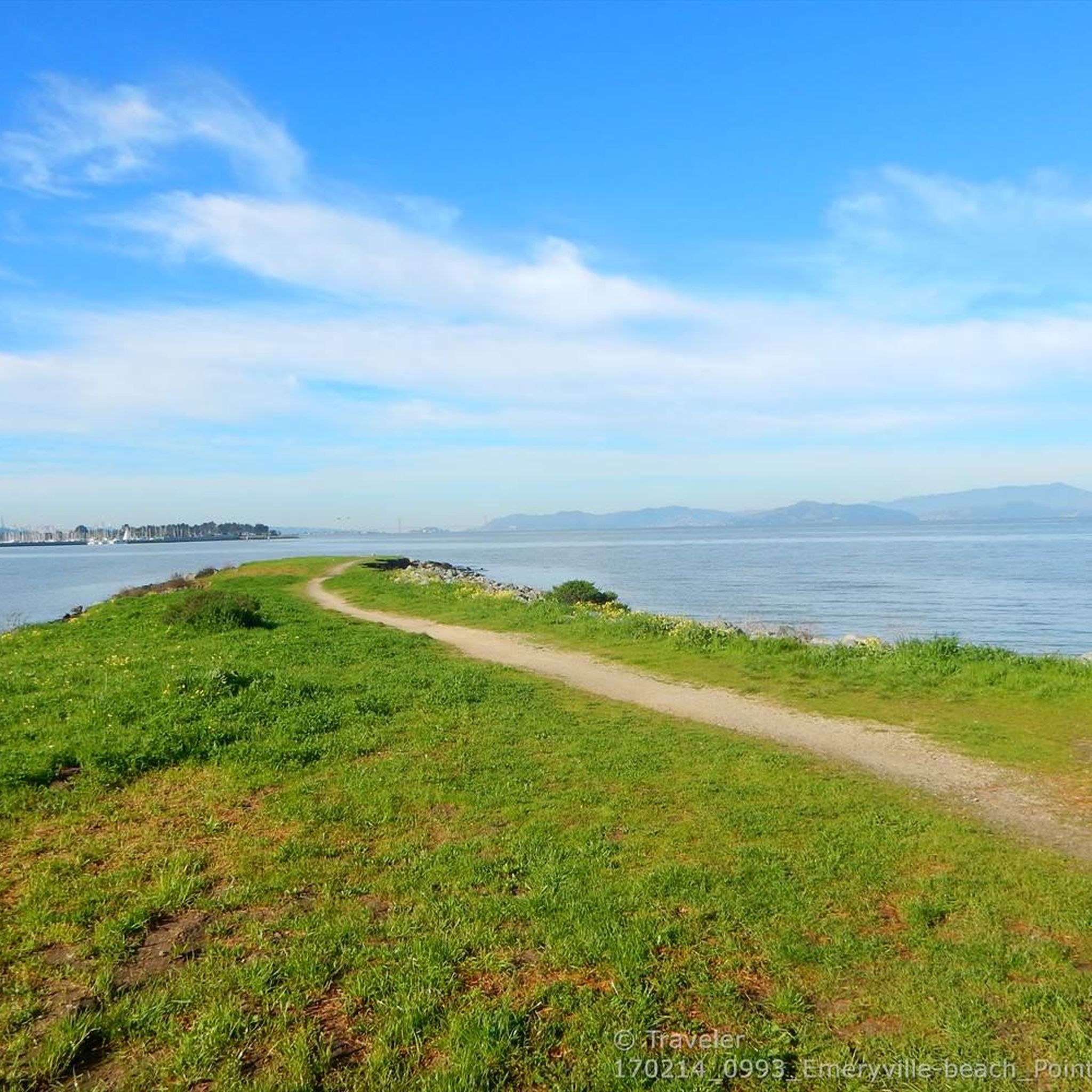
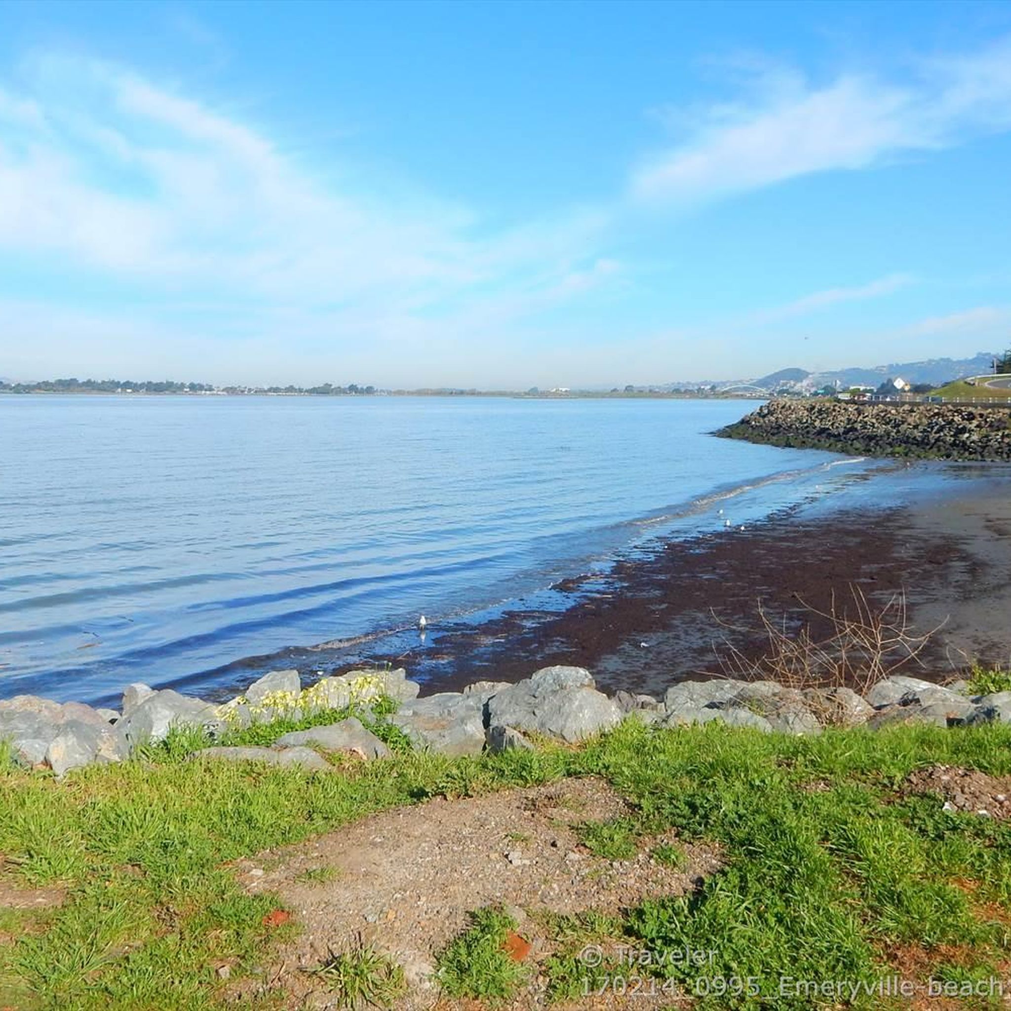
Point Emery, located on the SF Bay Trail, is a charming little park with stellar bay views, walking paths, and relaxation spots with benches along the trails. Open daily from 5 AM to 10 PM, Point Emery provides a perfect outdoor setting for families and dog owners, with designated off-leash areas for pets. The park features two launches: a wide sandy beach north of the parking lot and a narrow set of stairs near the Point, making it popular for kayakers, paddleboarders, and kiteboarders. The short walk to the beach, through small dunes and down steps, gives way to a beautiful stretch of golden sand. Although there are no public transportation services nearby, a good amount of parking is available.
0
0
Cedar Rose Park, located on the Ohlone Greenway, is a 5-acre park with two play areas, picnic sites with BBQ grills, and sports courts. It has a public restroom, allows dogs, and provides picnic tables. Open daily from 6 a.m. to 10 p.m., the park features a fenced tot lot, a large green field, and a playground for older children, making it a popular family destination.
0
0

This Pedestrian- Bicycle bridge connects the Aquatic Park North Trailhead of the San Francisco Bay Trail with the rest of the costal trail over the bustling I-80 Highway. From the top of the bridge you get nice views over the Bay to San Francisco, and Oakland.
0
0

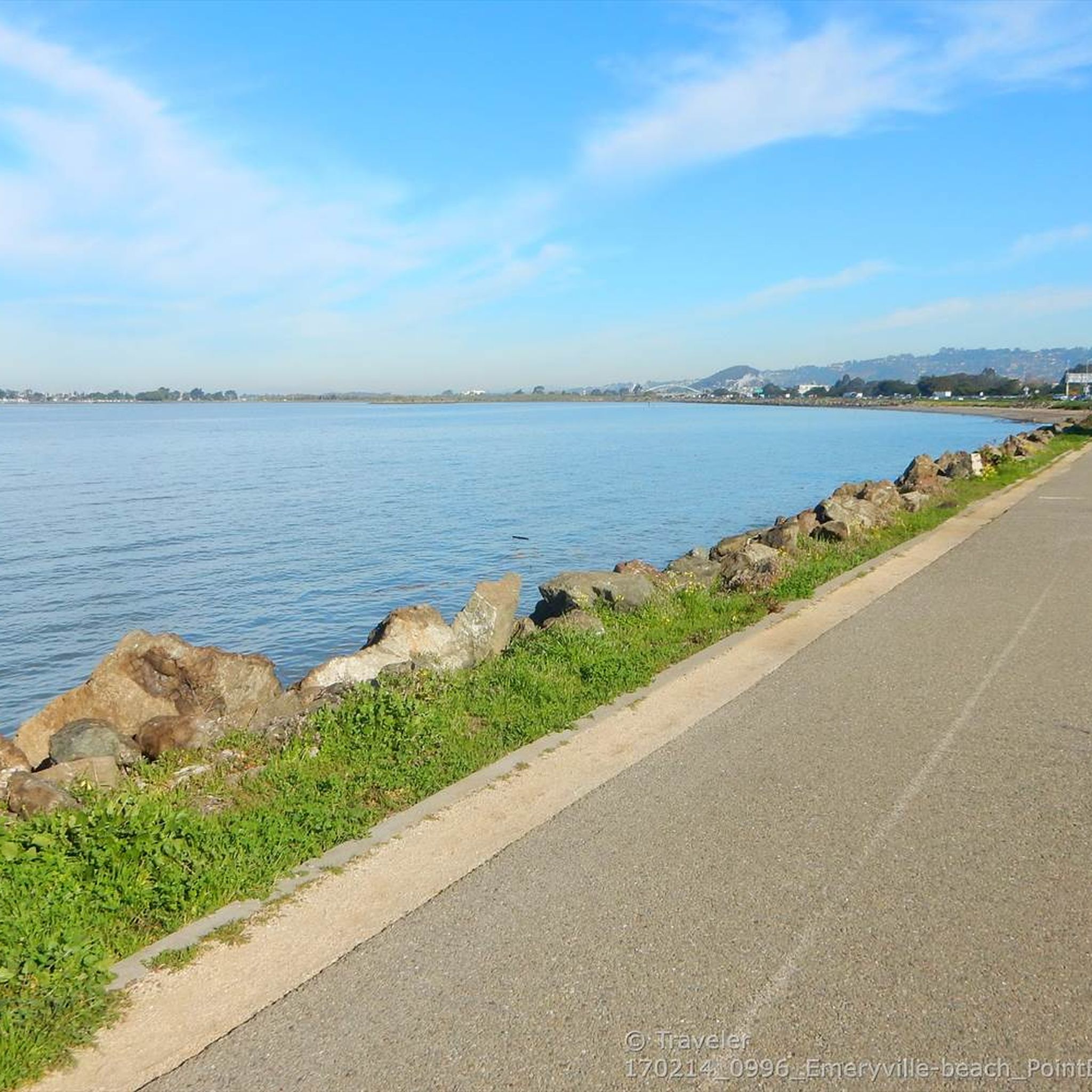
Excellent paved bike / multi-use trail along the water, part of the - eternally unfinished - San Francisco Bay Trail project
0
1

there is a lot to see and discover, beautiful place
2
2
Frequently Asked Questions
How many touring cycling routes are available in Emeryville?
Emeryville offers over 10 touring cycling routes, catering to various skill levels from easy to difficult. These routes are highly rated by the komoot community, with an average score of 4.6 stars.
What is the best time of year for touring cycling in Emeryville?
Emeryville's mild Bay Area climate generally makes touring cycling enjoyable year-round. However, spring and fall often offer the most pleasant temperatures and less wind, ideal for exploring the waterfront and connecting trails.
Are there family-friendly touring cycling routes in Emeryville?
Yes, Emeryville offers several family-friendly touring cycling routes. The Horton Landing Park loop from Pixar Animation Studios is an easy 5.2-mile route through urban greenway and waterfront areas, perfect for a leisurely family ride. The Emeryville Greenway also provides a pleasant, flat path suitable for all ages.
Are dogs allowed on the touring cycling trails in Emeryville?
While specific dog rules can vary by park and trail section, generally, dogs are permitted on leash on most public paths and trails in Emeryville, including portions of the San Francisco Bay Trail. Always check local signage for any specific restrictions in certain areas or parks like Shorebird Park.
What kind of scenic views can I expect on Emeryville's touring cycling routes?
Emeryville's waterfront location provides stunning panoramic views of the San Francisco Bay and the Golden Gate. Routes along the Bay Trail, such as the San Francisco Bay Trail, offer vistas across the bay towards San Francisco and Marin County, and even distant views of the Golden Gate Bridge. Point Emery is a particularly charming spot for bay views.
Are there any circular touring cycling routes in Emeryville?
Yes, Emeryville features several loop routes ideal for touring cyclists. For instance, the Richmond Bay Trail – Point Emery loop from Emeryville is a challenging 56.9-mile route offering extensive bay views. A shorter, easier option is the Berkeley Greenway Ocean-Ashby – Horton Landing Park loop from Pixar Animation Studios, which covers 8.4 miles.
What are some interesting places to explore along the touring cycling routes?
Along your touring cycling routes, you can explore various points of interest. Consider visiting the Shorebird Park Nature Center for educational insights, or the Rosie the Riveter Memorial for a historical stop. For expansive views, the Pioneer Park, Telegraph Hill offers a great vantage point.
How can I access Emeryville's bike trails using public transport?
Emeryville has ongoing efforts to improve its cycling infrastructure, including bike lockers at the Amtrak station, making it convenient for cyclists using public transport. The city's integration into the wider San Francisco Bay Trail network also means many routes are accessible from various public transport hubs in the East Bay.
Are there cafes or places to stop for refreshments along the touring cycling routes?
Emeryville's urban environment means many routes pass through or near areas with cafes and eateries. While specific routes aren't detailed with refreshment stops, the Emeryville Greenway and waterfront areas are generally well-served by local businesses where you can pause for a break.
What are the easiest touring cycling routes for beginners in Emeryville?
Beginners will find several easy touring cycling routes in Emeryville. The Horton Landing Park loop from Pixar Animation Studios is a gentle 5.2-mile ride. Another accessible option is the Berkeley Greenway Ocean-Ashby – Horton Landing Park loop from Pixar Animation Studios, which is 8.4 miles and offers a pleasant ride through urban greenway.
What makes Emeryville a good destination for touring cycling?
Emeryville is an excellent destination for touring cycling due to its strategic location along the San Francisco Bay. It offers a diverse mix of accessible waterfront trails with stunning views, connections to more challenging routes in the East Bay Hills, and an evolving bike-friendly urban environment. The extensive San Francisco Bay Trail network allows cyclists to extend their tours to other areas like Richmond and Berkeley.
Most popular routes around Emeryville
Most popular attractions around Emeryville

Get inspired with the komoot mobile app


Explore more
Browse the best Cycling routes in other regions.
