The best road cycling routes around Emeryville
4.5
(441)
14,568
riders
188
rides
Road cycling routes around Emeryville are primarily characterized by flat, urban waterfront paths along the San Francisco Bay. The region offers access to extensive bay trails, providing views of the water and cityscapes. While Emeryville itself is largely level, routes extending further inland or across bridges can introduce varied terrain, including gentle hills and more challenging ascents in the wider Bay Area.
Best road cycling routes around Emeryville
- The most popular road cycling route is San Francisco Bay Trail,…
Last updated: August 31, 2026
4.7
(10)
143
riders
53.6km
02:26
150m
150m
Moderate road ride. Good fitness required. Mostly well-paved surfaces and easy to ride.
4.5
(2)
304
riders
99.5km
04:36
580m
580m
Moderate road ride. Good fitness required. Mostly well-paved surfaces and easy to ride.

Sign up for free
5.0
(5)
253
riders
41.3km
02:16
790m
790m
Moderate road ride. Good fitness required. Mostly well-paved surfaces and easy to ride.
5.0
(4)
174
riders
25.9km
01:17
190m
190m
Easy road ride. Great for any fitness level. Mostly well-paved surfaces and easy to ride.
5.0
(1)
126
riders
126km
06:36
1,500m
1,500m
Hard road ride. Very good fitness required. Mostly well-paved surfaces and easy to ride.
Get access to more routes and recommendations from other explorers.
Sign up for free
Already have an account?
Our route recommendations are based on thousands of hikes, rides, and runs completed by other people on komoot.
Start today with a free account
Your next adventure awaits.
Login or Signup

Tips from the Community

Constructed in 1917 this dam forms Alpine Lake, which sites between Kent and Bon Tempe Lakes. The road across the top of the dam make it a great place to ride on a loop around the lake.
0
0
This lake was formed by the building of Alpine Dam in 1917. It sits between Kent Lake and Bon Tempe Lake, and is popular for a variety of outdoor activities.
0
0

Cedar Rose Park has tons of sports fields, a couple of play areas, a big lawn, and public restrooms. The park was developed along a section of an abandoned railway right-of-way and is about 5 acres.
0
0

Cedar Rose Park, located on the Ohlone Greenway, is a 5-acre park with two play areas, picnic sites with BBQ grills, and sports courts. It has a public restroom, allows dogs, and provides picnic tables. Open daily from 6 a.m. to 10 p.m., the park features a fenced tot lot, a large green field, and a playground for older children, making it a popular family destination.
0
0
Cyclists can enjoy this paved, flat trail running through Miller Knox Park along the water. The path goes between the lagoon and old railway lines. The Ferry Point Loop Trail has great views of the bay and is open from 5 a.m. to 10 p.m. unless otherwise posted, making it a car-free, accessible, and scenic route.
0
0

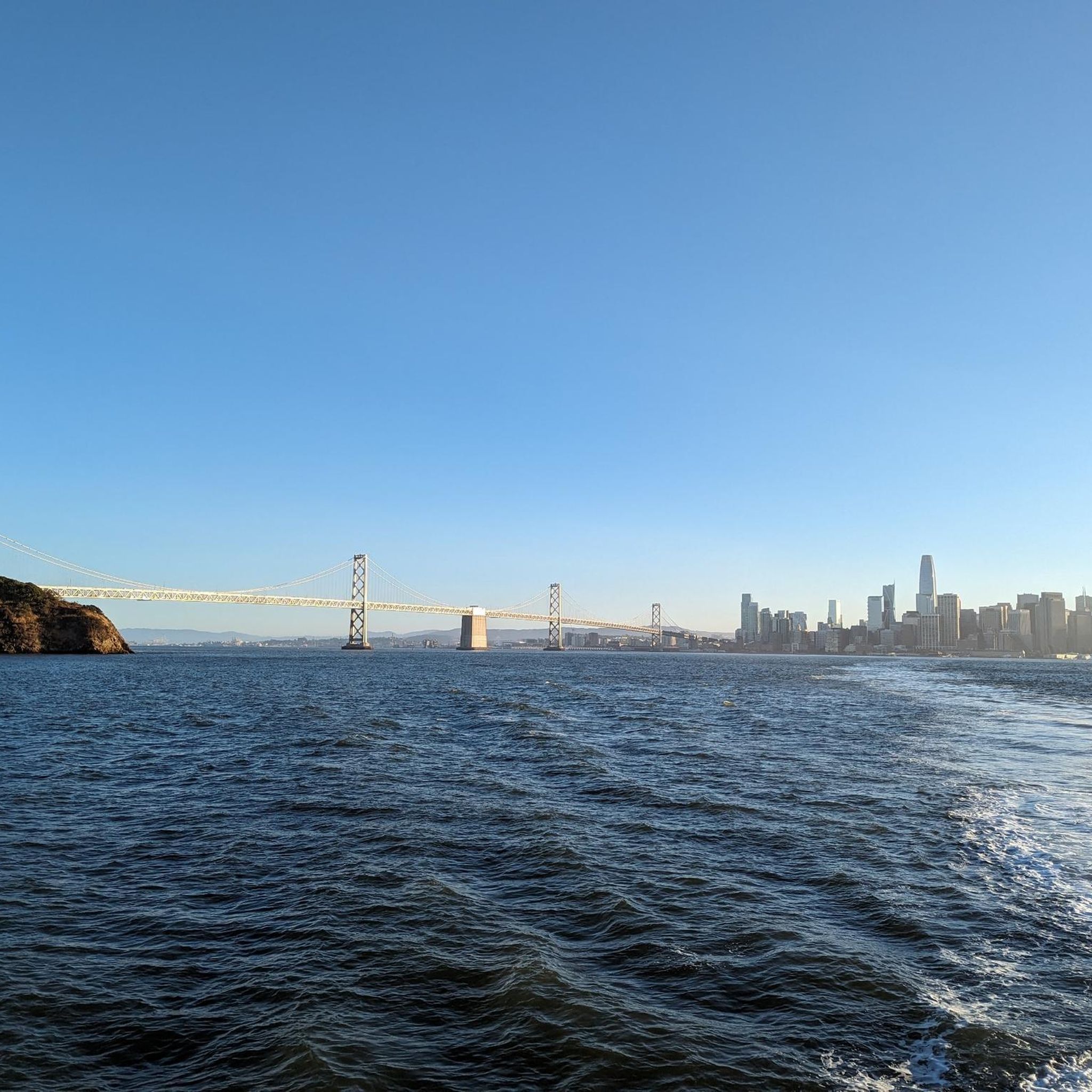
fantastic view of the San Francisco skyline
2
0
is a lot of fun here and the viewing point is a nice place where many bikers stop and enjoy
1
0
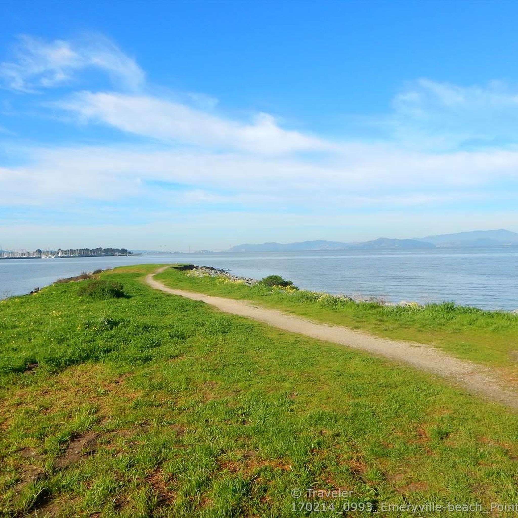
Point Isabel Regional Shoreline Park is a multi-use park for for joggers, windsurfers, kayakers, photographers, picnickers, and dog walkers. Spanning 50 acres, this park was formerly a landfill but underwent a clay-capping operation in the 1980s, transforming it into a secure and environmentally safe public space.
1
1
Frequently Asked Questions
How many road cycling routes are available around Emeryville?
Emeryville and its surrounding areas offer a wide variety of road cycling routes. You can find over 200 routes, catering to different skill levels and preferences.
What is the general difficulty level of road cycling routes in Emeryville?
The routes around Emeryville range from easy to difficult. Approximately 72 routes are considered easy, 96 are moderate, and 40 are difficult, providing options for all experience levels. The region is known for its flat, urban waterfront paths, but also offers routes with significant elevation gain in the wider Bay Area.
What do other cyclists say about road cycling in Emeryville?
The komoot community highly rates road cycling in Emeryville, with an average score of 4.6 stars from over 400 reviews. Cyclists often praise the extensive waterfront riding, scenic views of the San Francisco Bay, and the variety of terrain available, from flat paths to challenging ascents.
Are there easy road cycling routes suitable for beginners in Emeryville?
Yes, Emeryville offers several easy road cycling routes perfect for beginners. These routes typically feature flat terrain along the bay, providing a relaxed and enjoyable ride. Many sections of the San Francisco Bay Trail are ideal for those new to road cycling.
Are there challenging road cycling routes for experienced riders?
Absolutely. While Emeryville itself is largely flat, routes extending further into the Bay Area offer significant challenges. For instance, the Alpine Dam – Cal Park Tunnel & Pathway loop from MacArthur is a difficult 75.7-mile route with substantial elevation gain, perfect for experienced cyclists seeking a demanding ride.
Can I find circular road cycling routes in Emeryville?
Yes, many road cycling routes in Emeryville are designed as loops, allowing you to start and end at the same point. An example is the Emeryville Bayfront Bridge – Albany Bulb loop from MacArthur, which explores the bayfront area and local parks.
What are the typical lengths of road cycling routes near Emeryville?
Route lengths vary significantly. You can find shorter rides, such as the Bay Overlook – Skyline Boulevard loop from MacArthur at about 16 miles (25.6 km), up to much longer excursions like the Alpine Dam – Cal Park Tunnel & Pathway loop from MacArthur, which is over 75 miles (121 km).
Is public transport accessible to reach road cycling routes in Emeryville?
Emeryville is well-served by public transport, including Amtrak, AC Transit buses, and proximity to BART stations. Many routes, especially those along the Bay Trail, are easily accessible from public transport hubs, making it convenient to start your ride without a car.
Are there family-friendly road cycling options in Emeryville?
Yes, the flat, paved sections of the San Francisco Bay Trail are excellent for family-friendly road cycling. These paths offer safe, scenic rides away from heavy traffic, perfect for cyclists of all ages and abilities.
What scenic viewpoints can I expect on road cycling routes around Emeryville?
Road cycling routes around Emeryville offer numerous scenic viewpoints, particularly along the bay. You can enjoy views from spots like Point Emery, or venture to higher elevations for panoramic vistas from Grizzly Peak Vista Point or the Summit of Yerba Buena Island.
Are there any interesting landmarks or natural attractions along the road cycling routes?
Yes, many routes pass by or near interesting landmarks and natural attractions. You can cycle past Lake Merritt, enjoy the waterfront at Aquatic Park Beach, or explore the unique landscape of the Albany Bulb. Some routes also offer views of Lake Anza.
What is the best time of year for road cycling in Emeryville?
Road cycling in Emeryville is enjoyable year-round, thanks to the mild Bay Area climate. However, late spring through early fall (May to October) generally offers the most consistent pleasant weather, with less rain and comfortable temperatures. Mornings can be foggy, especially in summer, but it often burns off to clear skies.
Most popular routes around Emeryville
Most popular attractions around Emeryville

Get inspired with the komoot mobile app


Explore more
Browse the best Road cycling routes in other regions.
