The best walks and hikes around Santa Ana
4.8
(85)
1,705
hikers
145
hikes
Hiking around Santa Ana offers diverse outdoor experiences, characterized by the Santa Ana Mountains which provide varied terrain including canyons, peaks, and forests. The region features extensive trail systems like the Santa Ana River Trail, offering long-distance options. Numerous regional parks and ecological reserves provide accessible routes within and near the city, alongside significant coastal wetlands. This landscape composition provides a range of hiking opportunities from urban paths to mountain ascents.
Best hiking trails around Santa Ana
- The most popular…
Last updated: September 27, 2026
1
hikers
11.5km
02:54
20m
20m
The Santa Ana River Trail offers a fascinating blend of urban and natural environments, making it a great option if you want to experience the diverse landscapes of Orange County.…
3.42km
00:53
30m
0m
The Tustin Branch Trail offers a delightful urban oasis, winding through palm-tree-filled neighborhoods with vibrant landscaping that makes it feel more like a park than a typical city path. You'll…

6.30km
01:37
40m
10m
The Santiago Creek Bike Trail offers a unique blend of urban accessibility and natural beauty, making it a great choice for a relaxed outing. You'll find yourself moving from paved…
7.41km
01:52
0m
20m
The Santa Ana River Trail offers a surprisingly varied experience for an easy urban hike. This 4.6-mile (7.4 km) route, with a mere 11 feet (3 metres) of elevation gain,…
48.5km
12:17
130m
30m
The Santa Ana River Trail offers a unique perspective on Southern California, winding through a mix of urban and natural environments. You'll traverse paved paths and decomposed granite, passing through…
Get access to more routes and recommendations from other explorers.
Already have an account?
Our route recommendations are based on thousands of hikes, rides, and runs completed by other people on komoot.
Start today with a free account
Your next adventure awaits.

Tips from the Community

Nice wooden bridge along the Santa Ana River Trail. It takes you over the river and gives you a good view of the water.
1
0

Least Tern Natural Preserve is a 13-acre patch of shoreline and beach within Huntington State Beach. This area is a documented nesting area for endangered California least terns. The area is protected by a 15-foot buffer zone on all sides. Visitors are not allowed inside of the preserve but can observe the birds from outside of the blocked area. This area was the first fully protected area for the birds, established in 1973.
0
0

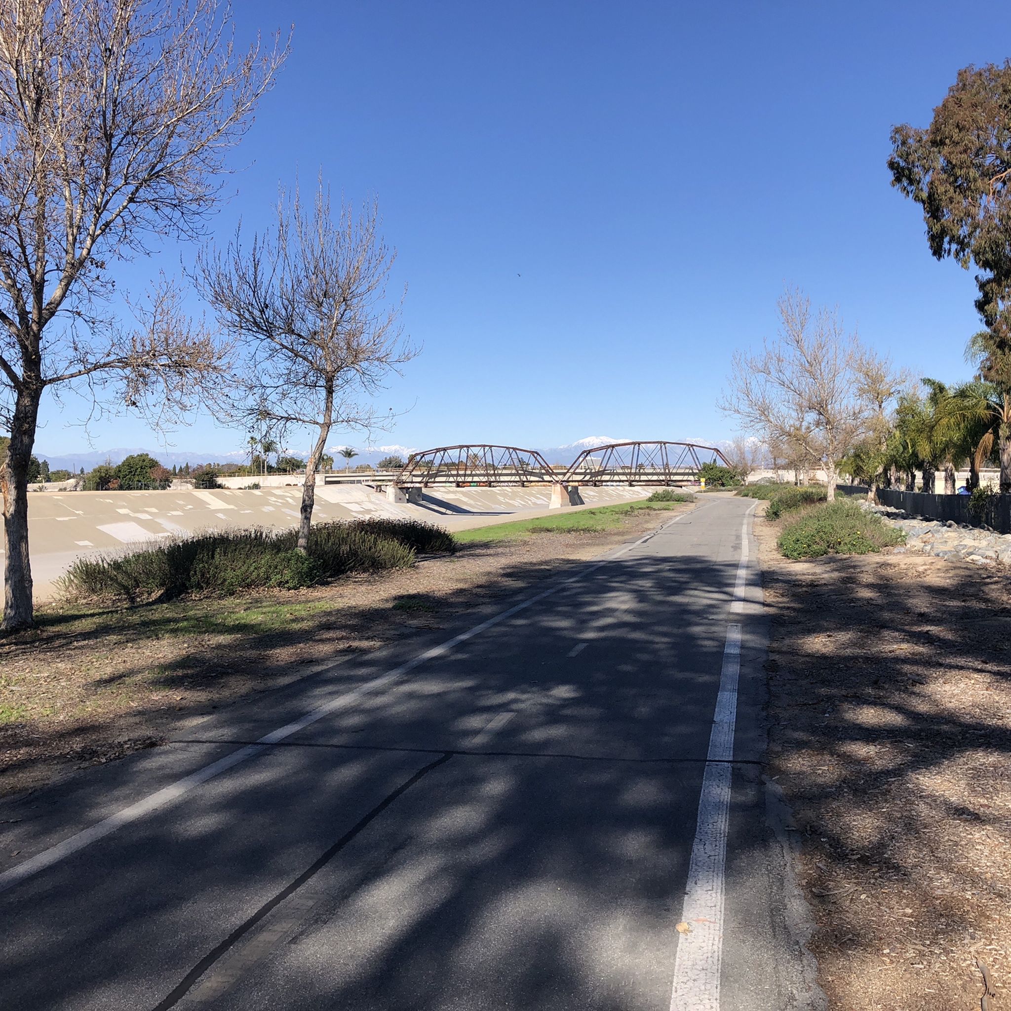
You get a great view up and down the Santa Ana River as you cross the truss bridge between trail segments.
0
0
Least Tern Natural Preserve is a 13-acre patch of shoreline and beach within Huntington State Beach. This area is a documented nesting area for endangered California least terns. The area is protected by a 15-foot buffer zone on all sides. Visitors are not allowed inside of the preserve but can observe the birds from outside of the blocked area. This area was the first fully protected area for the birds, established in 1973.
0
0

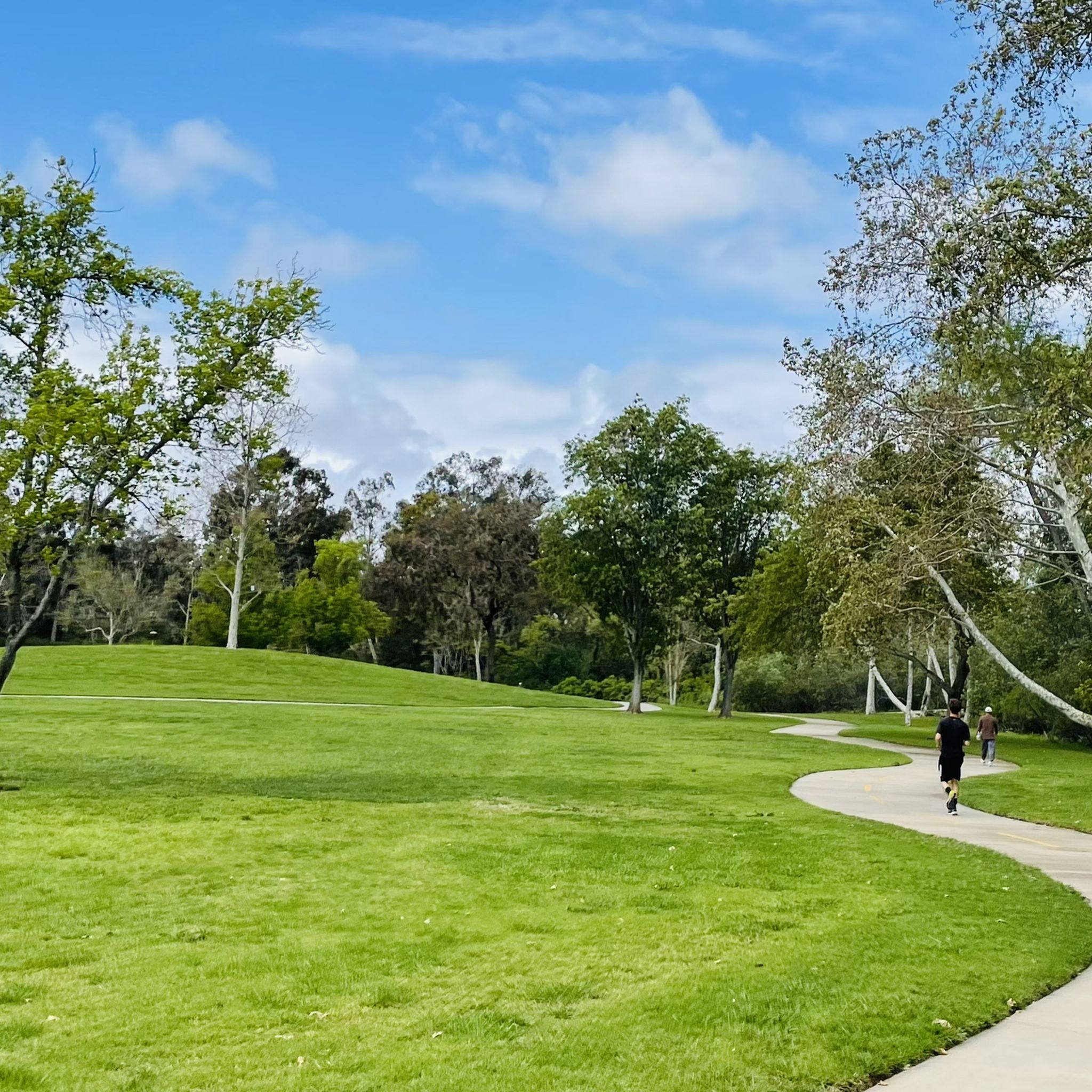
The park has a series of ponds, walking and running trails, bike rentals, volleyball courts and baseball courts.
0
0
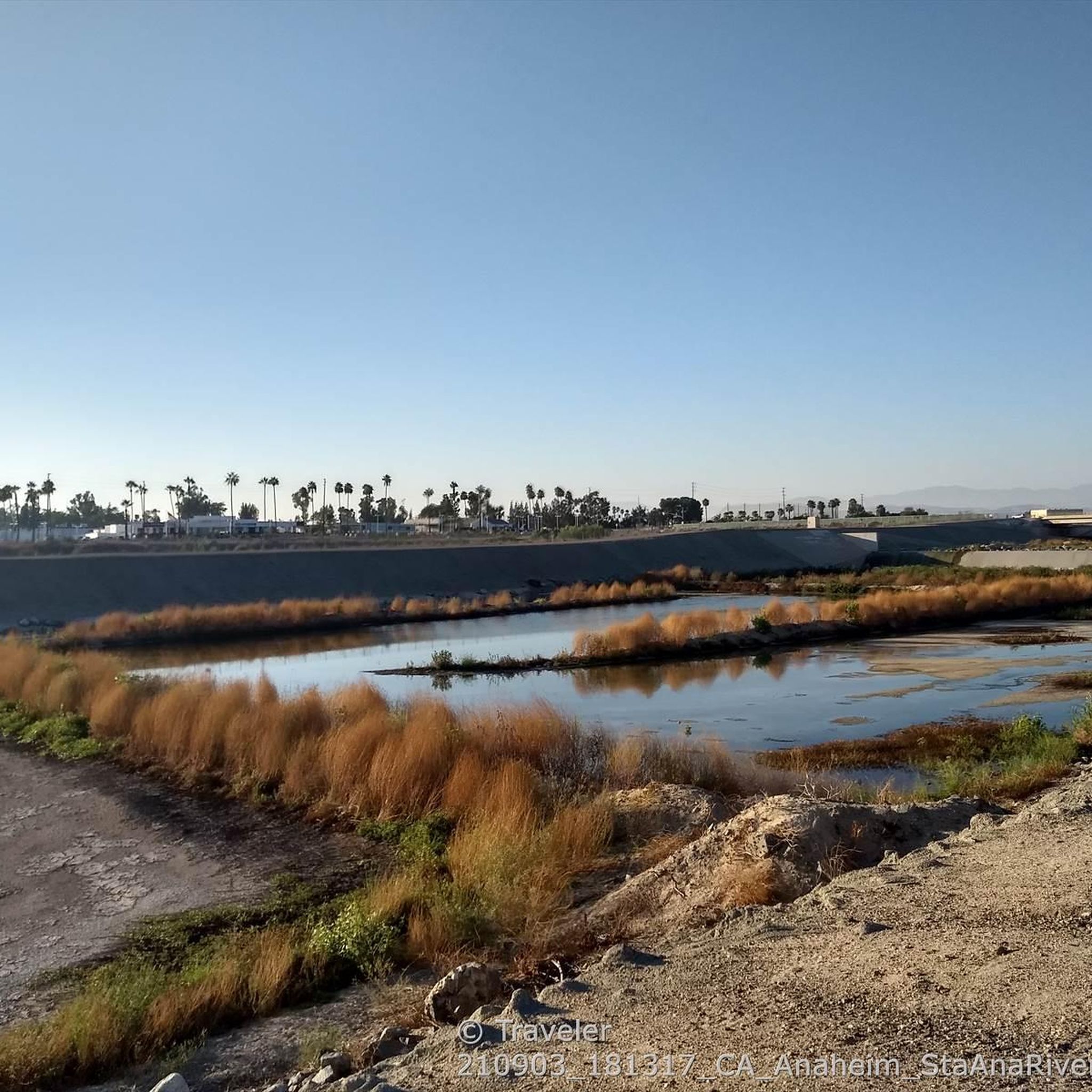
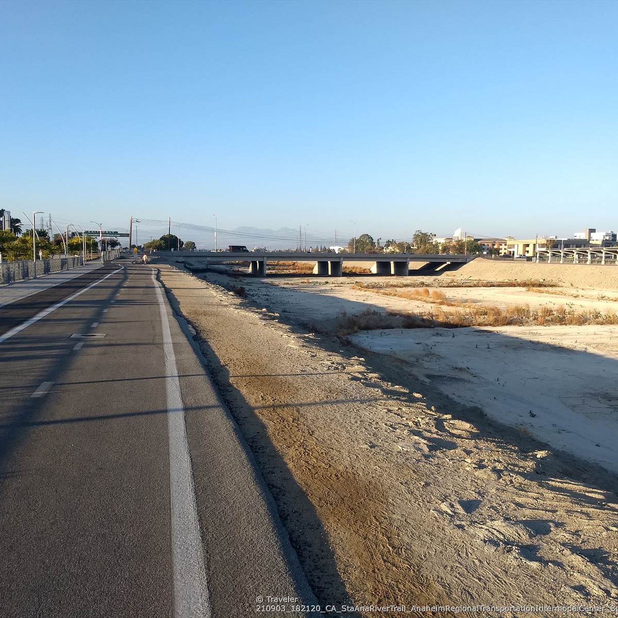
The Santa Ana River is almost 100 miles long. The headwaters are from the San Bernardino Mountains and ends at the coast near Huntington Beach.
0
0
A section on the 5k trail, where you can make a 5k loop, perfect for those training for their next race.
0
0

Frequently Asked Questions
How many hiking trails are available in the Santa Ana area?
The Santa Ana region offers a wide variety of hiking experiences, with over 100 trails to explore. These range from easy urban park paths to more challenging mountain ascents, catering to all skill levels.
What do other hikers enjoy most about the trails around Santa Ana?
The hiking routes in Santa Ana are highly regarded by the komoot community, boasting an impressive average score of 4.8 stars from over 69 reviews. Hikers frequently praise the diverse landscapes, from coastal wetlands to mountain vistas, and the accessibility of many trails.
Are there easy hiking trails suitable for beginners or leisurely walks?
Yes, Santa Ana has many easy trails perfect for beginners or those seeking a relaxed stroll. For instance, the Back Bay Loop Trail — Upper Newport Bay is an easy 2.9-mile path exploring wetlands, and the Mile Square Regional Park loop offers a pleasant 4.0-mile walk through a large urban park.
Are there any challenging hikes for experienced trekkers?
For more experienced hikers, the region offers several challenging routes, particularly within the Santa Ana Mountains and Cleveland National Forest. One notable option is the Talbert Regional Park to Huntington Beach Pier route, a 13.6-mile journey connecting a regional park to the Pacific coast.
Are there any trails with waterfalls in the Santa Ana area?
Yes, the Santa Ana Mountains are home to beautiful waterfalls. You can find natural waterfalls at Black Star Falls within the Coal Canyon Ecological Preserve, and Holy Jim Falls in the Cleveland National Forest, offering scenic destinations for your hike.
What are some family-friendly hiking options around Santa Ana?
Many parks in and around Santa Ana offer great options for families. Santiago Park Nature Reserve provides peaceful nature walks, while Peters Canyon Regional Park features accessible paths like the Peters Canyon Trail. The Mile Square Regional Park loop is another excellent choice for a family outing.
Can I bring my dog on the hiking trails?
Several trails in the Santa Ana region are dog-friendly. Black Star Falls at Coal Canyon Ecological Preserve is known for its dog-friendly trails. Always check specific park regulations before heading out, as rules can vary.
Are there any circular hiking routes available?
Yes, there are several excellent circular routes. The Back Bay Loop Trail — Upper Newport Bay and the Mile Square Regional Park loop are popular choices. Another option is the North Lake loop — Woodbridge, offering a pleasant walk around the lake.
What kind of natural landmarks or attractions can I see along the trails?
The trails around Santa Ana offer diverse natural attractions. You can explore the wetlands of the Upper Newport Bay Ecological Reserve, enjoy ocean views from Huntington Beach Pier, or discover the red sandstone formations of Red Rock Canyon in Whiting Ranch Wilderness Park. The Talbert Regional Park also provides a beautiful forest setting.
What is the best time of year to go hiking in Santa Ana?
Santa Ana offers good hiking conditions year-round, but spring and fall generally provide the most pleasant weather with mild temperatures and less humidity. Summers can be hot, especially in the mountains, so early morning hikes are recommended. Winters are typically mild, though some higher elevation trails might experience cooler temperatures.
Are there any trails that offer coastal views?
Absolutely. While Santa Ana is inland, its proximity to the coast means you can find trails with stunning ocean vistas. Crystal Cove State Park, a short drive away, offers hiking trails with fabulous ocean views. Additionally, the Talbert Regional Park to Huntington Beach Pier route culminates at the Pacific Ocean.
Are there opportunities for wildlife spotting on the trails?
Yes, many trails provide excellent opportunities for wildlife observation. The Upper Newport Bay Ecological Reserve is a haven for birdwatching, while areas like Coal Canyon Ecological Preserve are home to diverse wildlife including turkey vultures, Pacific tree frogs, and various snakes. Keep an eye out for local fauna, especially during quieter times of day.
Most popular attractions around Santa Ana

Get inspired with the komoot mobile app


Explore more
Browse the best Hikes in other regions.
