The best running trails around Neurather Lake
4.3
(303)
4,459
runners
356
runs
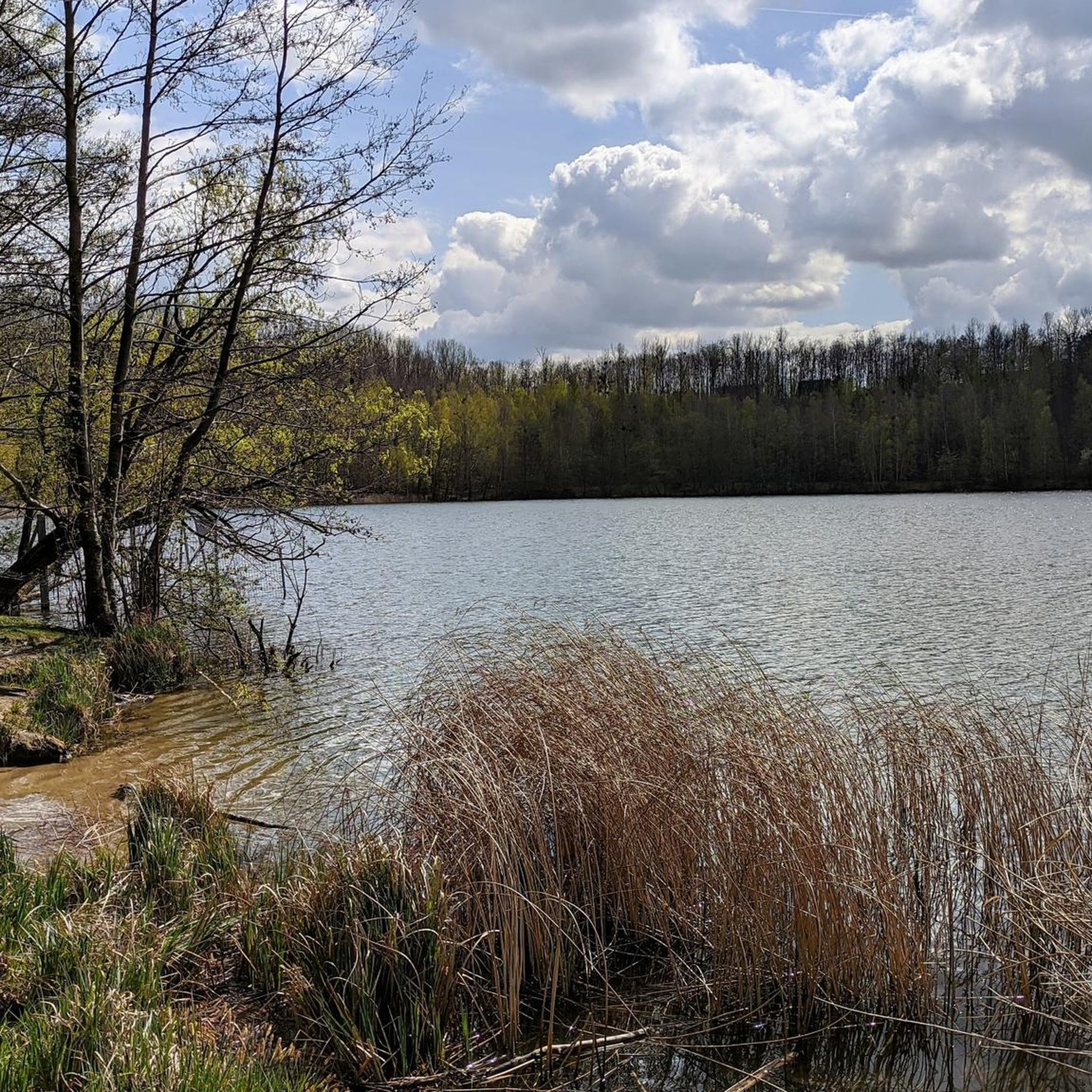
Jogging routes near Neurather See offer a diverse landscape for outdoor activities. The area is characterized by its unique origin as a former opencast lignite mine, now transformed into a tranquil recreational space. The terrain features well-maintained paths, often paved or easily accessible, providing a serene lakeside environment. This distinctive landscape blends natural beauty with the history of industrial reclamation, making it suitable for various running preferences.
Best jogging routes around Neurather Lake
- The most popular jogging route is Stone…
Last updated: August 11, 2026
5
runners
6.60km
00:41
40m
40m
Moderate run. Good fitness required. Mostly paved surfaces. Suitable for all skill levels.
4
runners
7.41km
00:47
60m
60m
Moderate run. Good fitness required. Mostly paved surfaces. Suitable for all skill levels.

Sign up for free
5.0
(1)
4
runners
6.15km
00:39
40m
40m
Moderate run. Good fitness required. Mostly paved surfaces. Suitable for all skill levels.
11
runners
5.69km
00:35
20m
20m
Moderate run. Good fitness required. Mostly paved surfaces. Suitable for all skill levels.
13
runners
9.18km
00:58
120m
120m
Moderate run. Good fitness required. Mostly paved surfaces. Suitable for all skill levels.
Get access to more routes and recommendations from other explorers.
Sign up for free
Already have an account?
Our route recommendations are based on thousands of hikes, rides, and runs completed by other people on komoot.
Start today with a free account
Your next adventure awaits.
Login or Signup
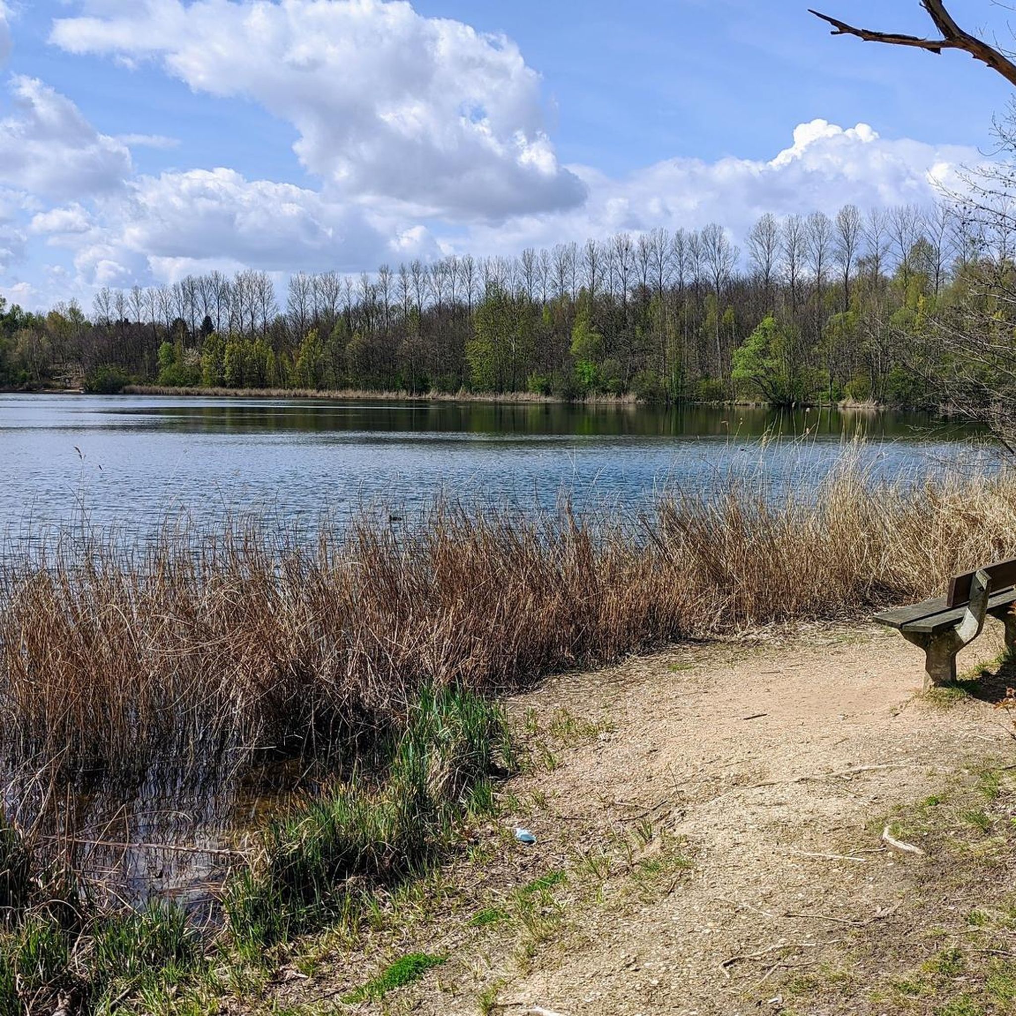
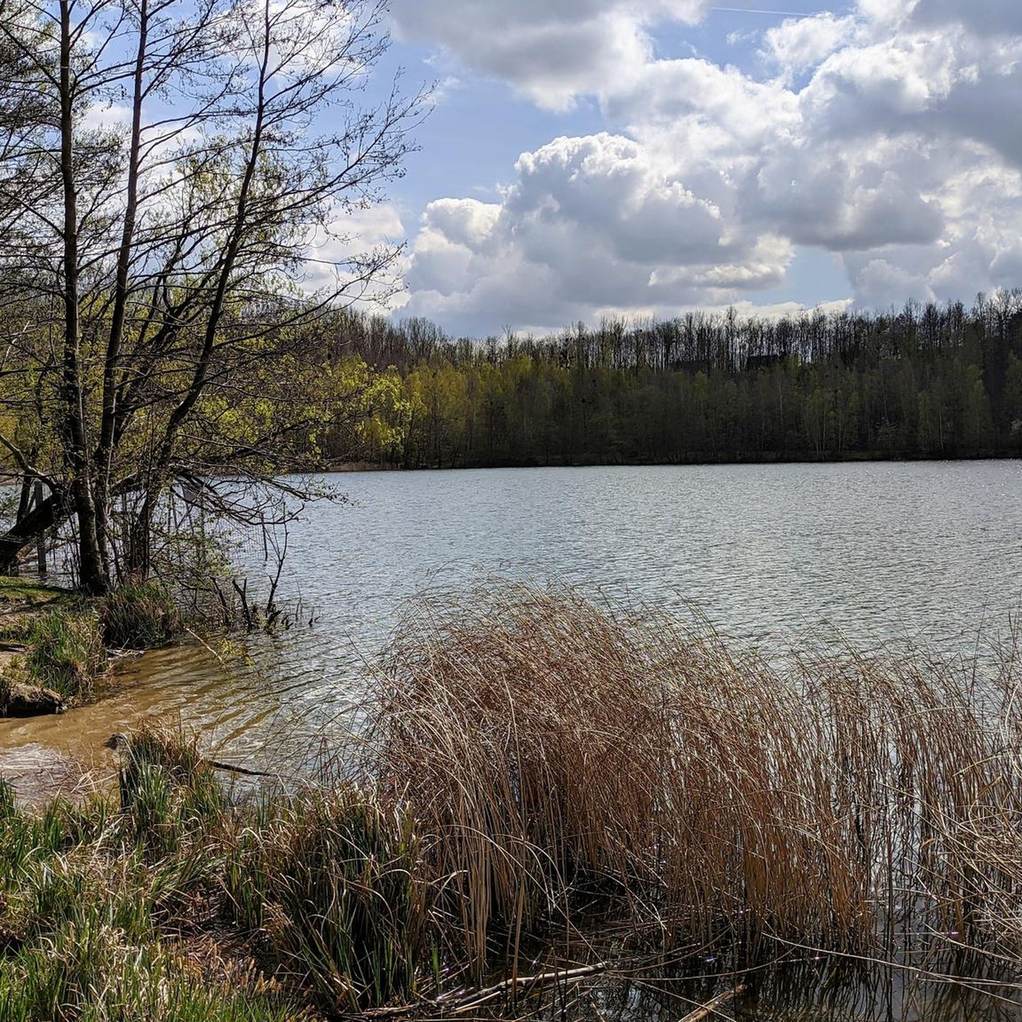
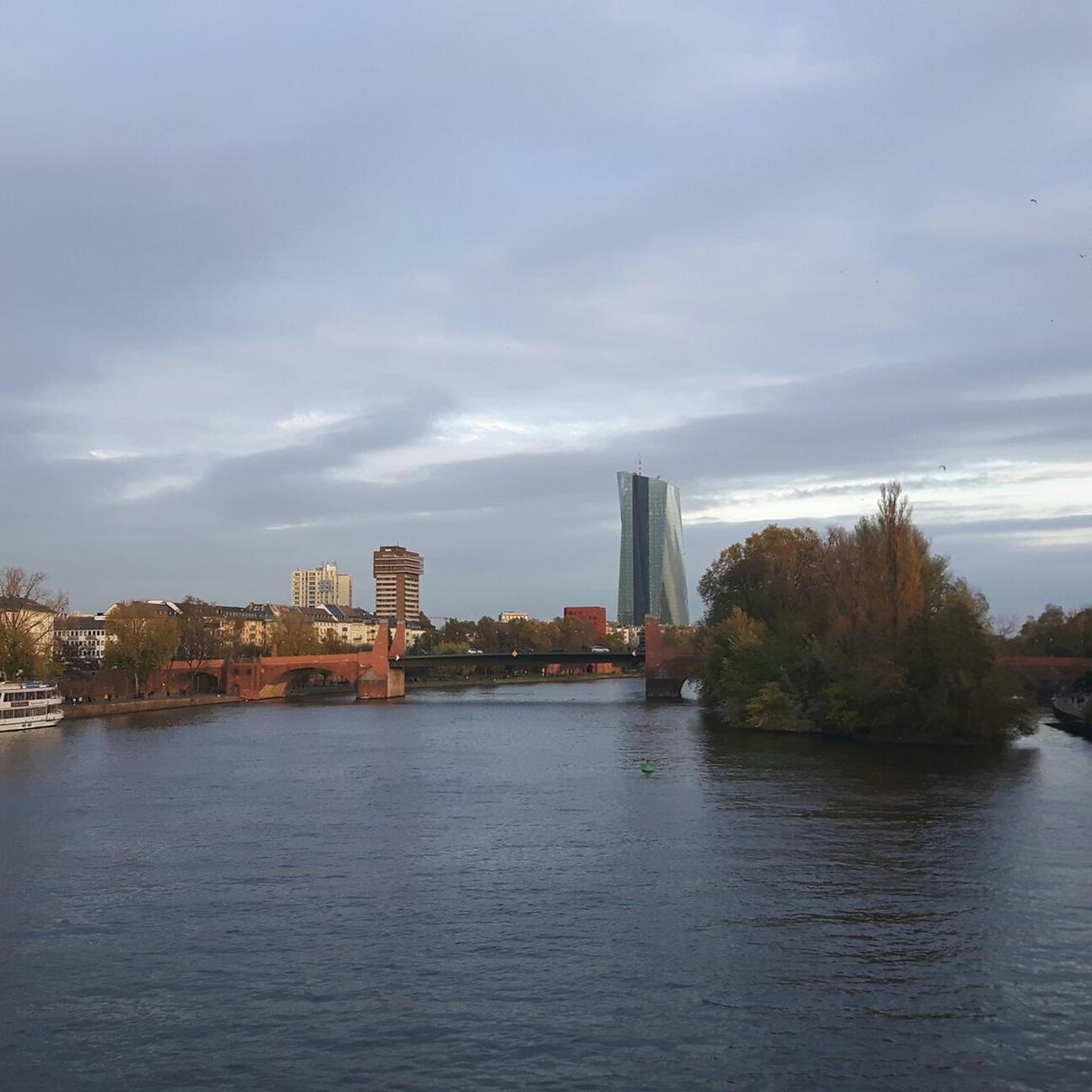
Tips from the Community

Once you reach the top of the plateau, you now have the choice of descent.
1
0

Here, 50m of greenery at the old Neurath lignite power plant was placed under landscape protection. Very nice! 🤪 I quote (deliberately selectively and distortingly) from the BNatSchG Paragraph 26 Agricultural protection areas ... in which special protection is required ... because of the diversity, uniqueness and beauty or the special cultural and historical significance of the landscape or because of its special importance for recreation. 🤣
0
0

The direction and number of the nearest junctions are shown below the signposts.
6
0
It is located directly on the opencast mine
8
0

"Cycling by numbers" in the Heinsberger Land means: finding your way around easily even without local knowledge. Over 90 junctions show the way on the junction system that has already proven itself in the Netherlands and Belgium. The nodal point system lies like a network across the region. Each network node has a number. The next junctions are signposted from there. This system offers the greatest possible variability when putting together your cycling routes. When planning, all you have to do is remember the sequence of nodes and you're ready to go. You drive from junction to junction, orientation is incredibly easy. In principle, all routes are signposted with white, red-labeled signposts in accordance with the nationwide uniform cycle path markings. Arrow and table signposts show the way at all junctions and junctions. In addition, location and kilometer information provides information about long-distance and local destinations on the cycle routes.
9
1
The Frimmersdorf power plant is a disused lignite-fired power plant in the city of Grevenbroich. In the meantime, it was one of the largest coal-fired power plants in Germany and, in the early 1970s, the largest lignite-fired power plant in the world. It is located directly at the Garzweiler opencast mine in the Rhenish lignite mining area and originally had 16 power plant blocks. The power plant site extends over a large area: the power plant front in the direction of the energy road (L375) is around 900 m long, the entire plant site is 1.5 km long and 450 m wide. The two machine halls, lined up next to each other (approx. 650 m), are among the longest in the world after the decommissioned Greifswald nuclear power plant. The number of cooling towers was originally 36; This made the Frimmersdorf power plant easy to identify on aerial photographs.
18
0
A new rotor blade is already on site.
4
0

As of today (06/25/2023) the system is out of service and defective (rotor blade broken off).
6
0
Frequently Asked Questions
How many running routes are available around Neurather Lake?
Neurather Lake offers a wide variety of running routes, with over 290 options available on komoot. These routes cater to different fitness levels, including 39 easy, 225 moderate, and 27 difficult trails.
What kind of terrain can I expect on the jogging paths around Neurather Lake?
The running routes around Neurather Lake primarily feature well-maintained paths, often paved or easily accessible. The area's unique origin as a former opencast lignite mine means you'll find a distinctive landscape that blends natural beauty with reclaimed industrial history, providing a serene lakeside environment for your run.
Are there any circular running routes at Neurather Lake?
Yes, many of the running routes around Neurather Lake are circular, allowing you to start and finish at the same point. For example, the Stone shrine with bench – View of Windtestfeld loop from Neurath is a popular 4.25-mile (6.8 km) loop, and the Neurather Kippe – Stone shrine with bench loop from Neurath offers a moderate 4.6-mile (7.4 km) experience.
Are the running trails around Neurather Lake suitable for families?
Yes, many of the well-maintained and easily accessible paths around Neurather Lake are suitable for families. The serene lakeside environment and varied routes offer options for different ability levels, making it a pleasant place for a family run or walk. You can find 39 easy routes on komoot that are generally good for families.
Can I bring my dog on the running routes at Neurather Lake?
While specific dog-friendly rules can vary, the natural and recreational character of Neurather Lake generally welcomes dogs, especially on the well-maintained paths. It's always advisable to keep your dog on a leash and clean up after them to ensure a pleasant experience for all visitors.
What are the elevation changes like on the running routes?
The elevation changes on the running routes around Neurather Lake are generally moderate. For instance, the Running loop from Frimmersdorf has an elevation gain of about 23 meters over 3.6 miles (5.8 km), while the Vollrather Heights – Welchenberg Forest Trail loop from Gustorf offers a more challenging 163 meters of ascent over 5.4 miles (8.7 km).
Are there any viewpoints or natural features to see along the running trails?
The Neurather Lake area, with its unique transformation from an industrial site, offers serene lakeside views and a distinctive landscape. Routes like the Stone shrine with bench – View of Windtestfeld loop from Neurath provide views towards the Windtestfeld, and the Neurather Kippe – Stone shrine with bench loop from Neurath explores the unique Neurather Kippe landscape, showcasing the blend of nature and past human activity.
What do other runners say about jogging at Neurather Lake?
The running routes at Neurather Lake are highly rated by the komoot community, with an average score of 4.4 stars from over 170 reviews. More than 3,700 runners have used komoot to explore the varied terrain, often praising the serene lakeside environment and the well-maintained paths.
Is there parking available near the running routes?
Yes, based on common infrastructure for recreational areas, you can generally find parking facilities near the access points to the running routes around Neurather Lake. Specific parking locations will depend on your chosen starting point.
Are there any longer running routes for endurance training?
For those looking for longer runs, Neurather Lake offers several options. The Kasterer See loop from Sany is a moderate 7.4-mile (11.9 km) route that provides a good distance for endurance training, taking approximately 1 hour and 14 minutes to complete.
What is the best time of year to go running at Neurather Lake?
Neurather Lake offers a pleasant running experience throughout much of the year. Spring and autumn provide comfortable temperatures and beautiful scenery, while summer mornings and evenings are ideal. Even in winter, the well-maintained paths can be suitable, though conditions may vary.
Most popular routes around Neurather Lake

Get inspired with the komoot mobile app


Explore more
Browse the best Running Trails & Routes in other regions.
