The best MTB trails around Breitenbachtalsperre
4.6
(3676)
9,424
riders
468
rides
Mountain bike trails around Breitenbachtalsperre are set within a 57.7-hectare reservoir area, primarily a drinking water source, surrounded by a 47-hectare nature protection area. The region is characterized by lush forests and the tranquil Breitenbachtalsperre reservoir, offering varied terrain for mountain biking. Situated in the Siegen-Wittgenstein district, the area benefits from the natural characteristics of the Rothaarsteig region, known for its forest mountain landscapes.
Best mountain bike trails around Breitenbachtalsperre
- The most popular mountain bike trail is Breitenbach Reservoir –…
Last updated: October 8, 2026
4.5
(4)
27
riders
5.39km
00:19
50m
50m
Easy mountain bike ride. Great for any fitness level. Suitable for all skill levels.
4.6
(62)
99
riders
27.1km
01:53
350m
350m
Moderate mountain bike ride. Good fitness required. Suitable for all skill levels.

4.7
(23)
46
riders
55.3km
05:11
1,080m
1,080m
Hard mountain bike ride. Very good fitness required. Advanced riding skills necessary.
4.6
(14)
34
riders
35.1km
03:12
670m
670m
Moderate mountain bike ride. Good fitness required. Suitable for all skill levels.
4.5
(8)
27
riders
Moderate mountain bike ride. Good fitness required. Suitable for all skill levels.
Get access to more routes and recommendations from other explorers.
Already have an account?
Our route recommendations are based on thousands of hikes, rides, and runs completed by other people on komoot.
Start today with a free account
Your next adventure awaits.

Tips from the Community

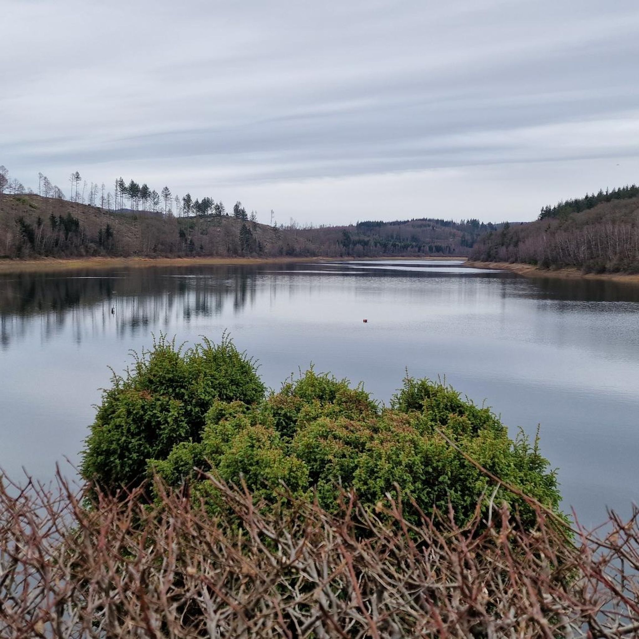
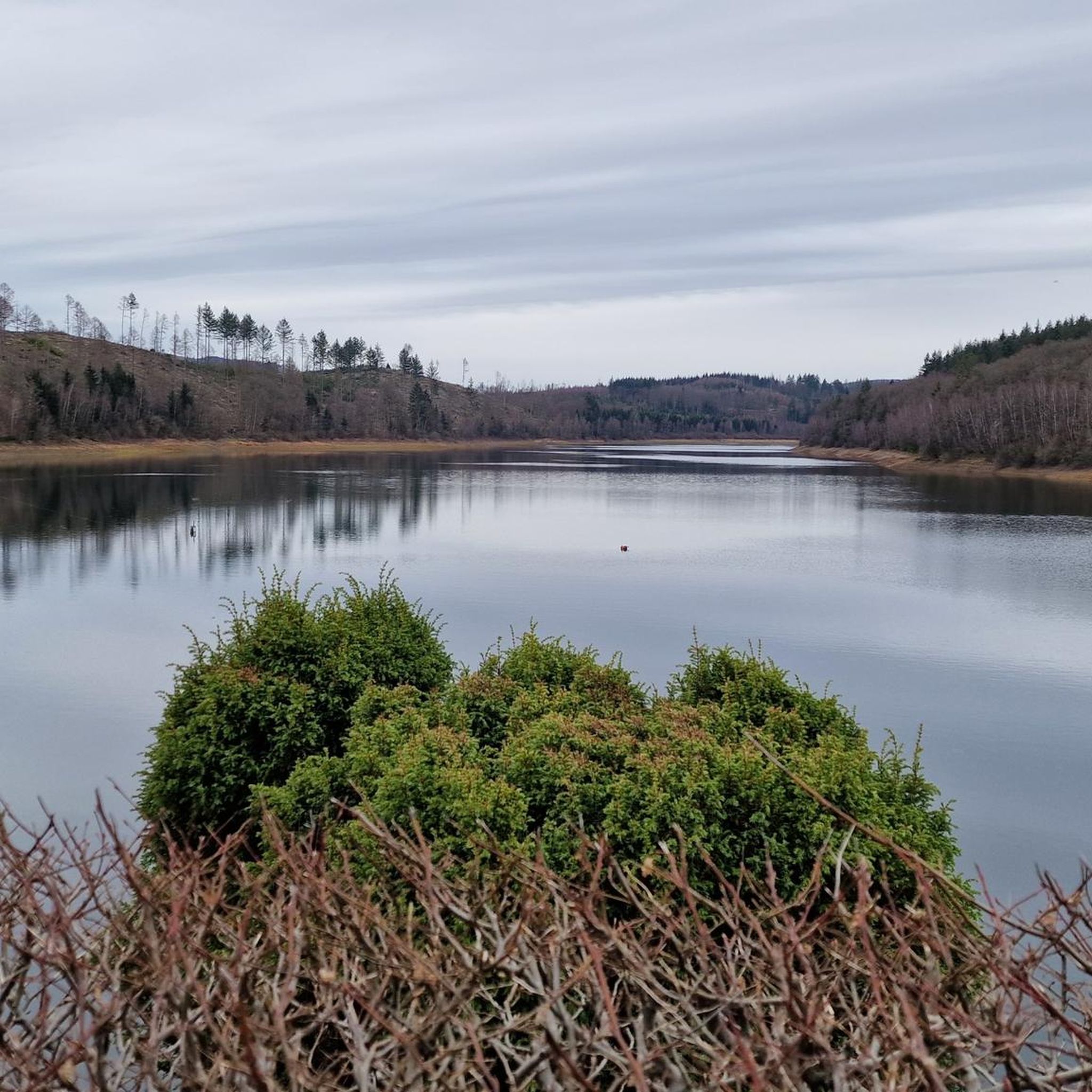
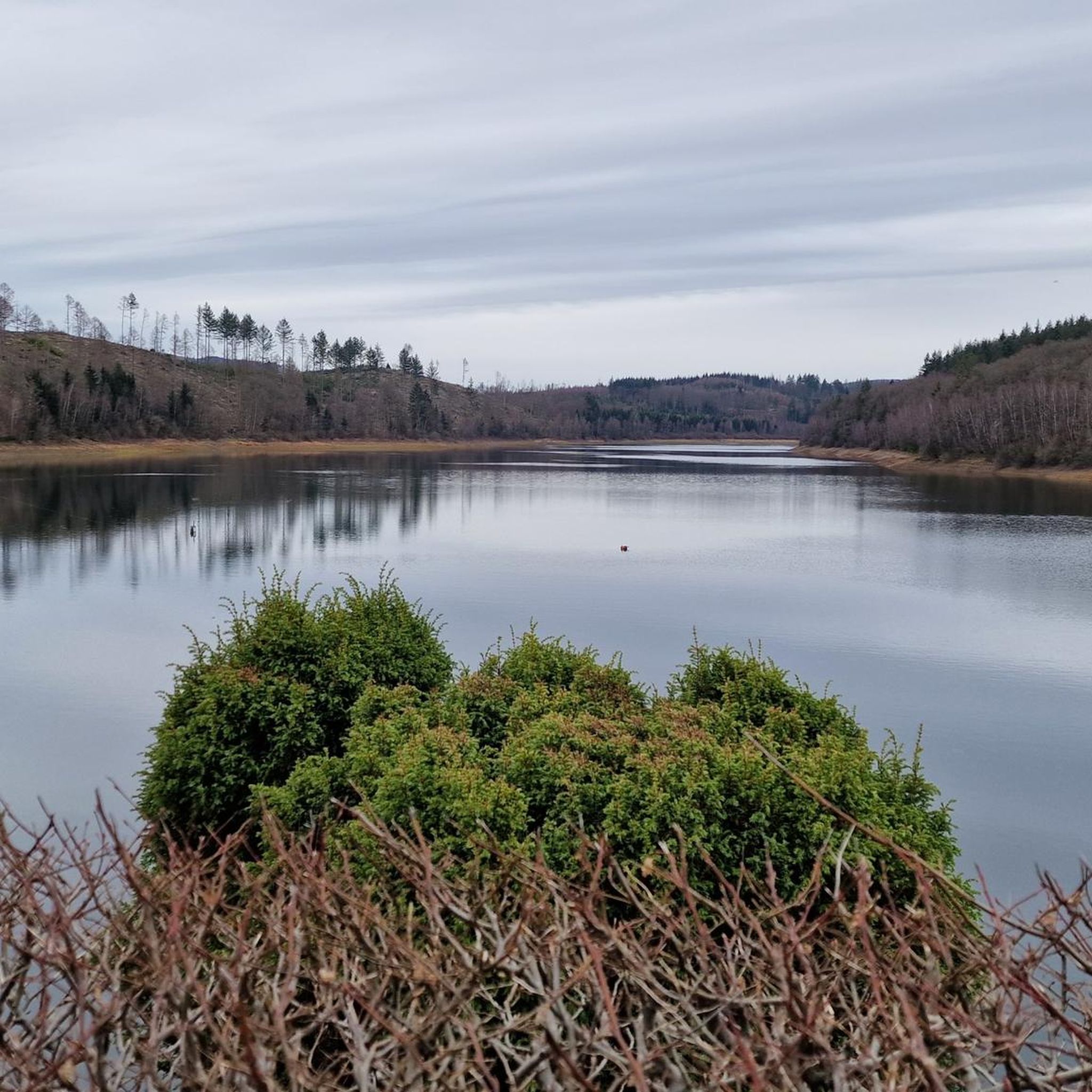
From the reservoir, above Grund, you have a beautiful view of the Grundtal valley. The Ginsburg and the Giller are within sight and can be easily reached via ascending paths
0
0

Top view from the forest onto the dam and the tower.
0
0
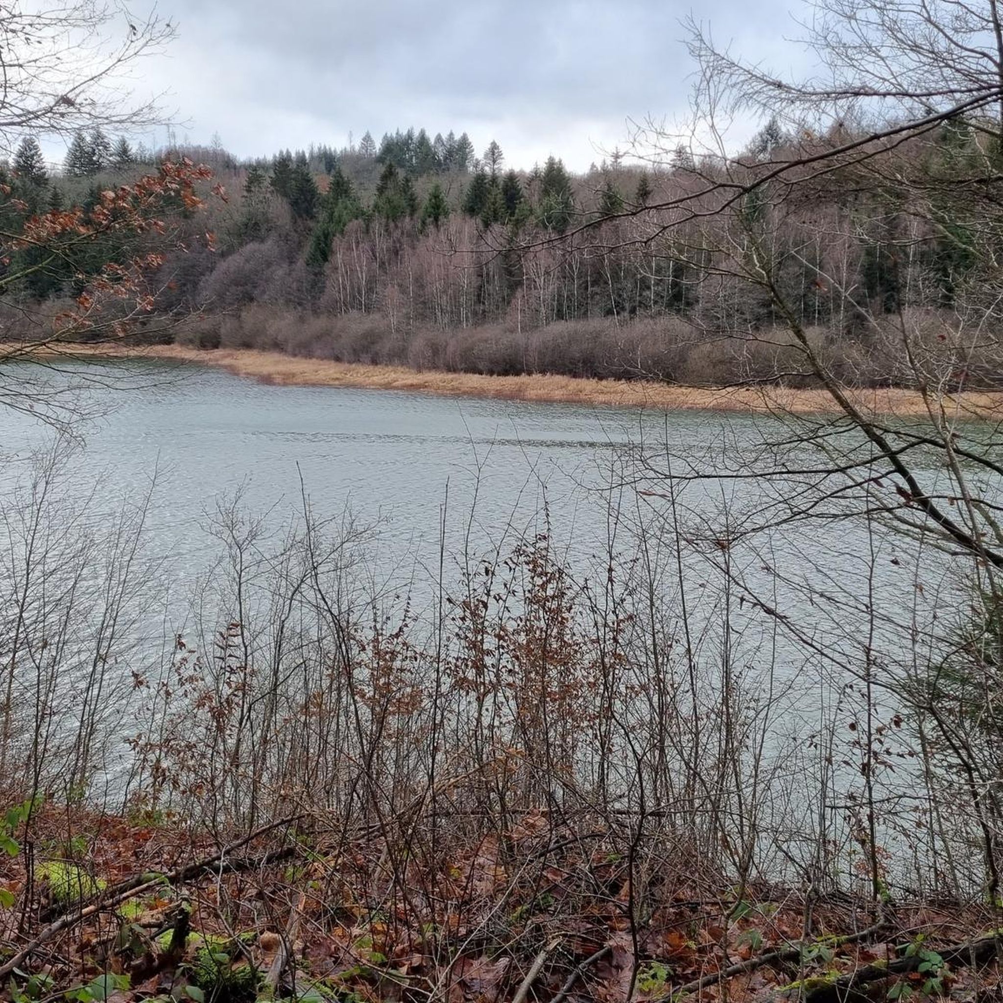
One of the two drinking water reservoirs of Siegerland-Wittgenstein.
0
0

From the Müsener side, the shaft can be entered as part of a guided tour. Good for people interested in the region's history and mining.
0
0

Great view of Grund, the birthplace of "Jung-Stilling".
0
0

Superb reflection on the perfectly still water
1
0


Frequently Asked Questions
How many mountain bike trails are available around Breitenbachtalsperre?
There are over 460 mountain bike trails around Breitenbachtalsperre, catering to various skill levels. This includes 98 easy routes, 317 moderate routes, and 47 difficult routes, ensuring options for everyone from beginners to experienced riders.
Are there any easy mountain bike trails suitable for beginners or families?
Yes, there are nearly 100 easy mountain bike routes around Breitenbachtalsperre. A great option for a gentle ride is the Breitenbach Reservoir – Breitenbach dam loop from Allenbach, which is 3.3 miles (5.4 km) long and encircles the reservoir with minimal elevation gain. The paved circular path around the reservoir, mentioned in the region research, is also ideal for general cycling.
What kind of terrain can I expect on the mountain bike trails?
The terrain around Breitenbachtalsperre is diverse, featuring extensive forests, varied woodland scenery, and sections along the tranquil reservoir. You'll find a mix of forest paths, some paved sections, and challenging singletrack trails, especially on the more difficult routes.
Are there any challenging routes for experienced mountain bikers?
Absolutely. For experienced riders seeking a challenge, consider the Singletrack trail to Giller – Rothaarsteig Forest Trail loop from Stift Keppel-Allenbach. This difficult route spans 66.9 miles (107.7 km) with over 1900 meters of elevation gain, leading through dense forests and along parts of the famous Rothaarsteig.
What are some notable viewpoints or natural features along the trails?
The Breitenbachtalsperre region is rich in natural beauty. You can enjoy views of the reservoir itself, which is a significant natural feature. The surrounding nature protection area offers lush forests. The Breitenbach dam is a prominent viewpoint. The area is part of the Rothaarsteig region, known for its stunning forest mountain landscapes.
Are there any circular mountain bike routes?
Yes, many routes around Breitenbachtalsperre are designed as loops. The Breitenbach Reservoir – Breitenbach dam loop from Allenbach is a popular easy circular route. For a moderate challenge, the Ferndorf Spring – Rothaar Hut loop from Hillnhütten offers a 23.4 km ride through the area.
Where can I find food and drinks after a ride?
After an active ride, you can stop at the Wes Wundertüte – Old Warden's House Restaurant & Café, also known as 'Altes Wärterhaus'. It offers a cozy atmosphere for refreshments and meals.
What do other mountain bikers say about the trails in Breitenbachtalsperre?
The mountain bike trails around Breitenbachtalsperre are highly rated by the komoot community, with an average score of 4.6 stars from over 3,000 reviews. More than 9,000 mountain bikers have used komoot to explore the varied terrain, often praising the scenic landscapes and diverse trail options.
Is there parking available for mountain bikers?
Yes, parking is generally available in the vicinity of Breitenbachtalsperre, particularly near common starting points for trails. The region research indicates that the area is well-equipped for visitors, so look for designated parking areas near the reservoir or trailheads.
Can I reach Breitenbachtalsperre by public transport?
Hilchenbach, where Breitenbachtalsperre is located, is accessible by public transport. You can typically reach Hilchenbach by bus or train, and local bus routes often connect to the reservoir area. It's advisable to check current schedules for bus connections to Breitenbachtalsperre from Hilchenbach.
Are there any specific rules or regulations for mountain biking in the nature protection area?
Breitenbachtalsperre is situated within a nature protection area, established to preserve its natural beauty. While mountain biking is popular, it's important to respect local regulations, which typically include staying on marked trails, avoiding sensitive ecological zones, and being mindful of other visitors. As the reservoir is a drinking water source, water sports are not permitted.
What is a good moderate mountain bike route to explore the area?
For a moderate mountain biking experience, the Hohenroth Forest House – Singletrack trail to Giller loop from Hillnhütten is an excellent choice. This 29.4-mile (47.3 km) path features a mix of forest paths and singletrack sections, offering varied woodland scenery and an elevation gain of over 800 meters.
Most popular routes around Breitenbachtalsperre
Most popular attractions around Breitenbachtalsperre

Get inspired with the komoot mobile app


Explore more
Browse the best MTB trails in other regions.
