The best walks and hikes around Breitenbachtalsperre
4.6
(9529)
33,075
hikers
1,167
hikes
Hiking around Breitenbachtalsperre offers diverse trails within the Naturpark Sauerland Rothaargebirge. The region is centered around the Breitenbachtalsperre Reservoir, providing water views and surrounding forested areas. Rolling hills and valleys characterize the broader landscape, with paths suitable for various levels of hikers. The area combines natural beauty with historical elements, including the dam itself.
Best hiking trails around Breitenbachtalsperre
- The most popular hiking route is Breitenbach Dam – View of Breitenbach Dam loop from Allenbach, a 4.1 miles (6.6…
Last updated: July 5, 2026
4.7
(87)
279
hikers
6.63km
01:55
170m
170m
Easy hike. Great for any fitness level. Easily-accessible paths. Suitable for all skill levels.
5.0
(4)
27
hikers
Easy hike. Great for any fitness level. Easily-accessible paths. Suitable for all skill levels.

Sign up for free
13
hikers
3.69km
01:01
60m
60m
Easy hike. Great for any fitness level. Easily-accessible paths. Suitable for all skill levels.
4.6
(5)
16
hikers
Easy hike. Great for any fitness level. Easily-accessible paths. Suitable for all skill levels.
5
hikers
4.80km
01:18
70m
70m
Easy hike. Great for any fitness level. Easily-accessible paths. Suitable for all skill levels.
Get access to more routes and recommendations from other explorers.
Sign up for free
Already have an account?
Our route recommendations are based on thousands of hikes, rides, and runs completed by other people on komoot.
Start today with a free account
Your next adventure awaits.
Login or Signup

Tips from the Community

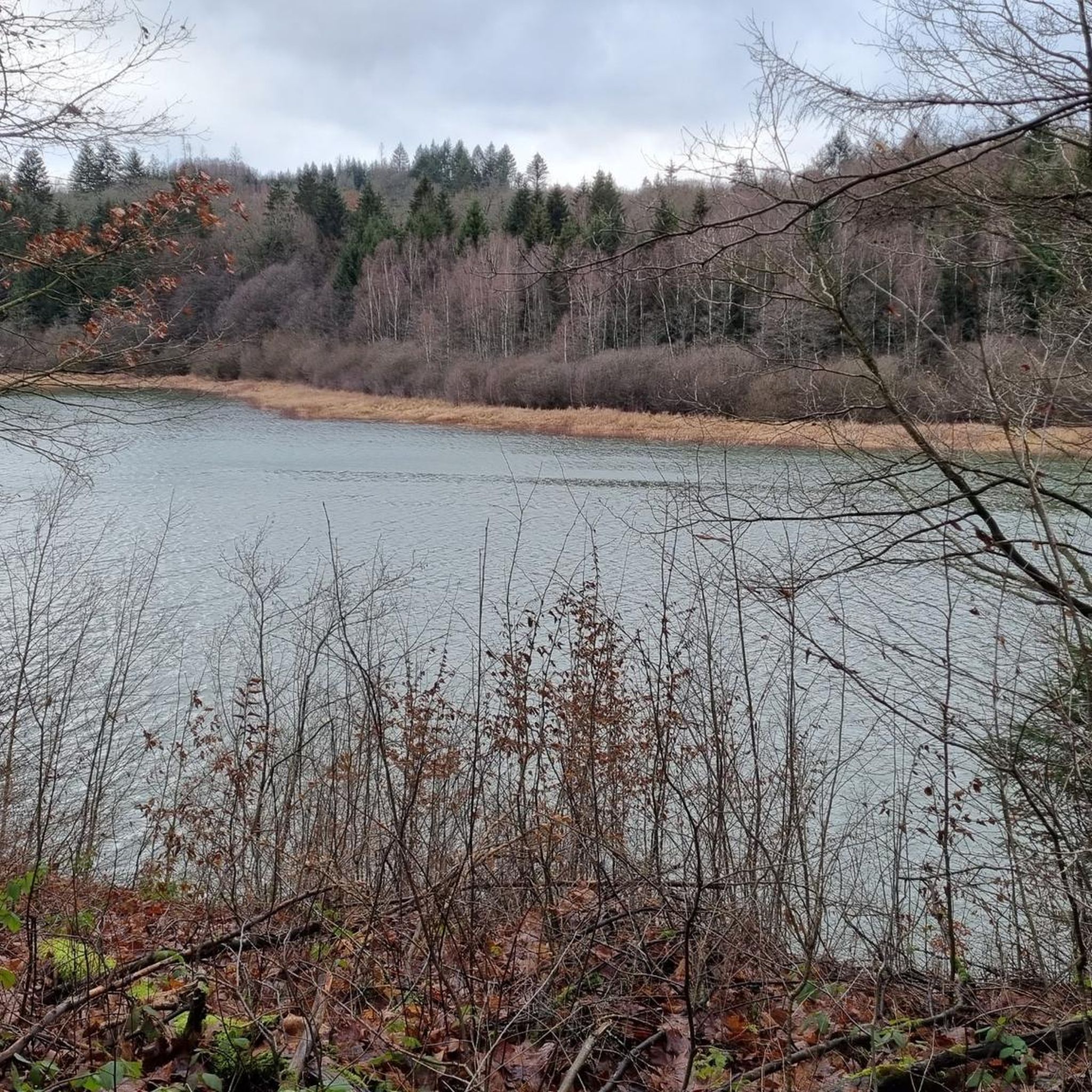
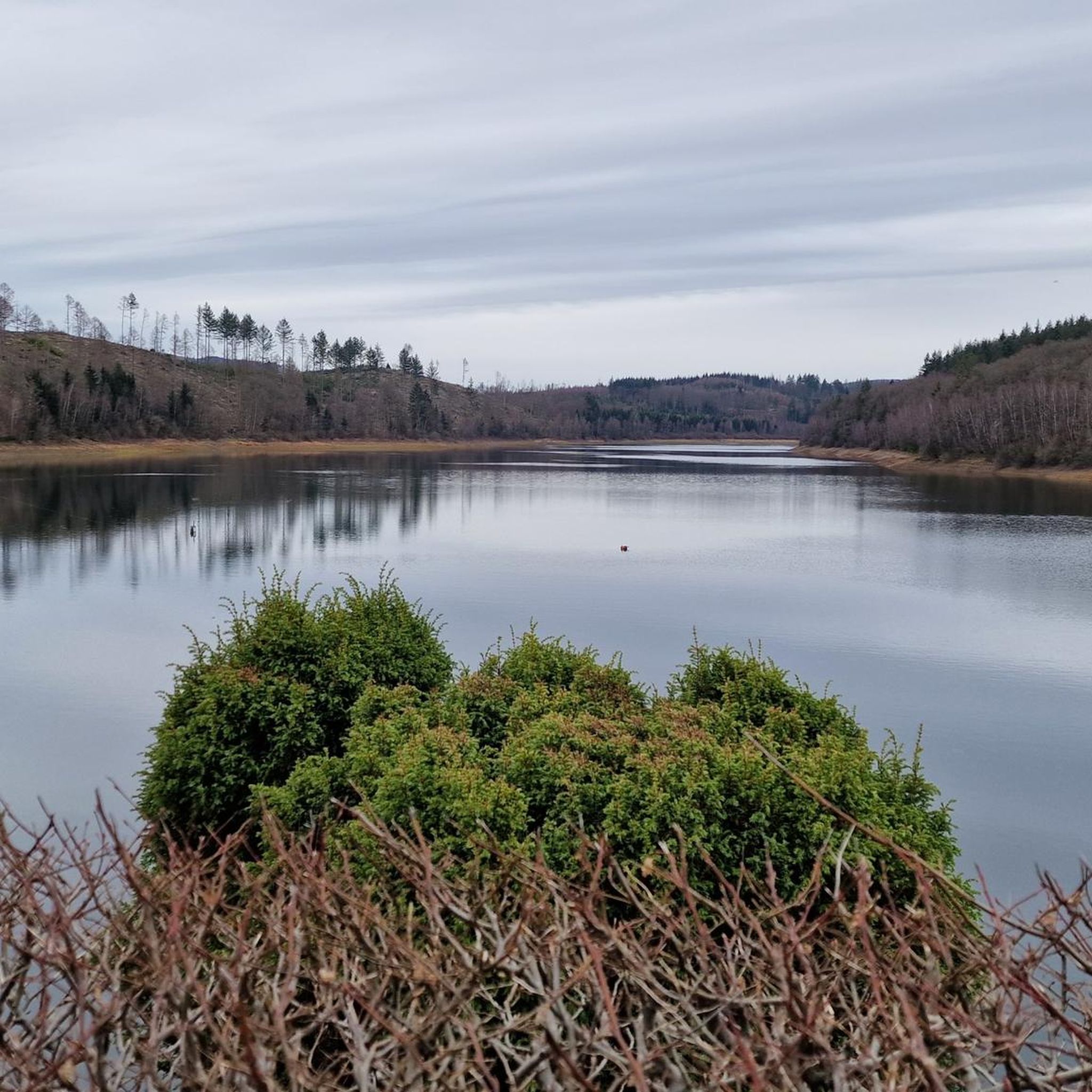
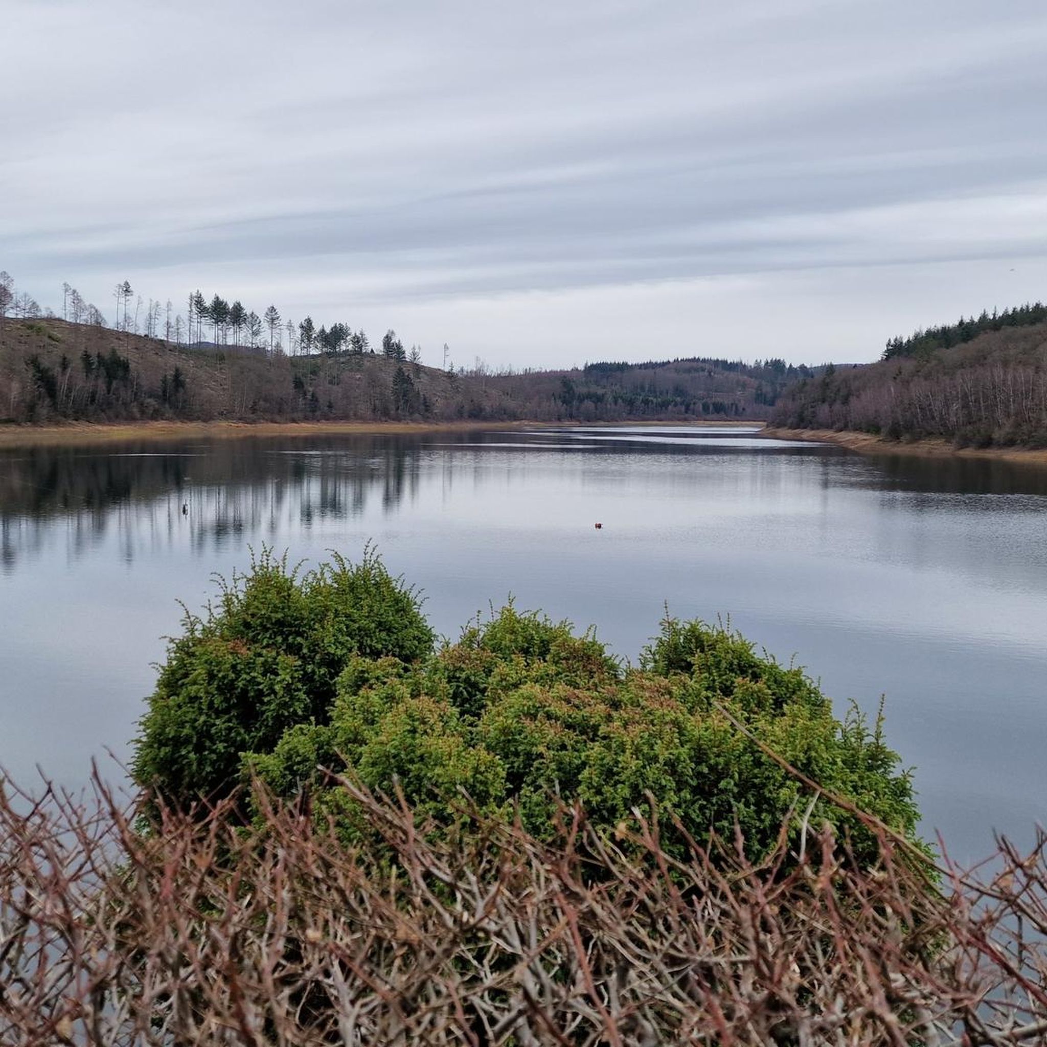
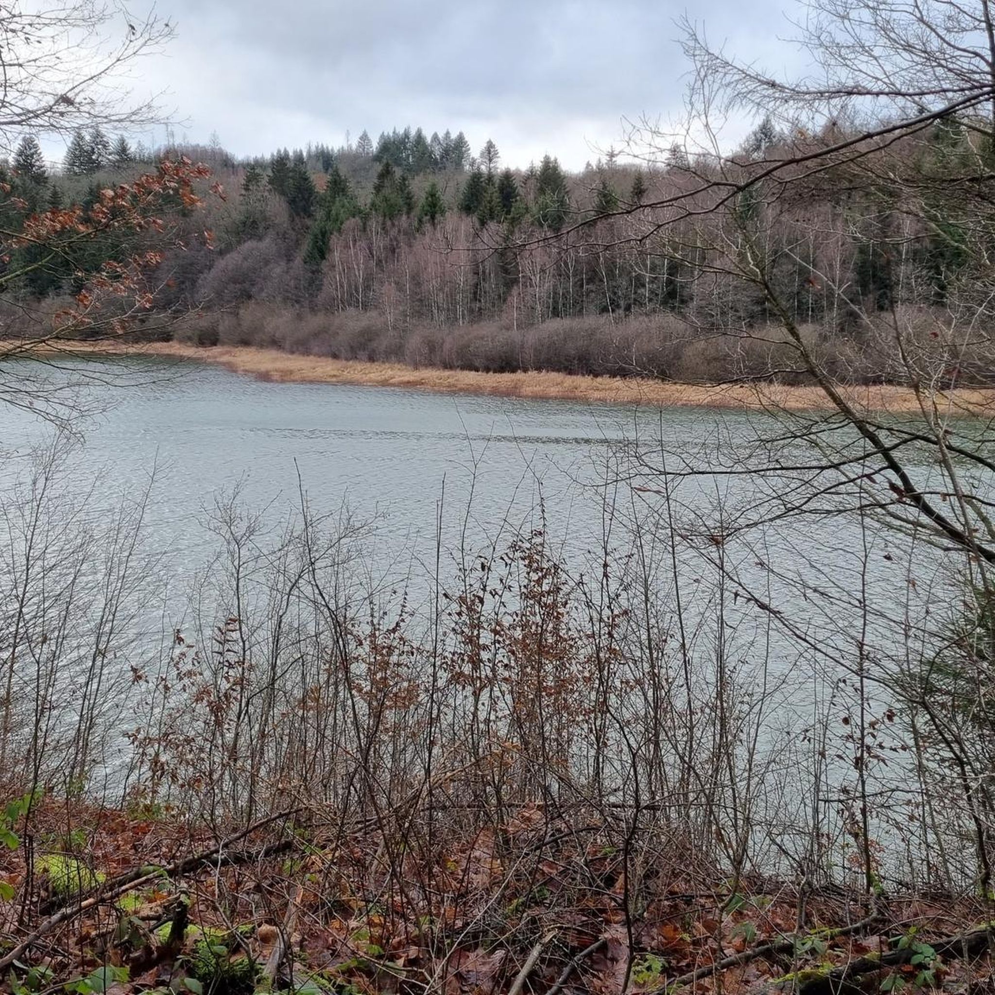
Superb view of the dam and the Rothaarkamm mountains behind it.
0
0
Super climbing frame, as well as a top fitness trail.
0
0
Very well-maintained old half-timbered houses in the small district.
0
0
Top highlight at the old market square at the foot of the mighty Protestant church.
0
0

Unfortunately the bench has been removed 😏
0
0


Tip: It's only for sporty people 😜
0
0

The dam is fed by two small streams. One of them is the Breitenbach, which also gives the dam its name.
2
0
Frequently Asked Questions
How many hiking trails are available around Breitenbachtalsperre?
There are nearly 1,200 hiking routes around Breitenbachtalsperre, catering to various skill levels. This includes over 670 easy trails, 440 moderate options, and 39 more challenging routes for experienced hikers.
Are there any easy, family-friendly hikes around Breitenbachtalsperre?
Yes, the region offers many easy paths suitable for families. The Breitenbach Dam – View of Breitenbach Dam loop from Allenbach is an easy 6.6 km trail with reservoir views. Additionally, the Region Research mentions an asphalted A1 path, a 5.3 km route around the reservoir with information boards, which is particularly suitable for families.
What kind of natural features can I expect to see while hiking here?
Hikers can enjoy stunning views of the Breitenbachtalsperre Reservoir and its surrounding forests. The area is known for its rich biodiversity, including various bird species like herons and kingfishers, and small mammals. Depending on the season, you might also encounter diverse wildflowers along the paths.
Are there any circular walks around the reservoir?
Yes, circular walks are a popular feature. The Region Research highlights a scenic 6 km loop trail that encircles the reservoir, offering continuous water views and winding through forests. For a specific komoot route, consider the easy View of Breitenbach Dam – Breitenbach dam crest loop from Allenbach, which is 4.2 km.
What do other hikers say about the trails in Breitenbachtalsperre?
The trails around Breitenbachtalsperre are highly regarded by the komoot community, with an average rating of 4.6 stars from over 7,500 reviews. Hikers often praise the scenic reservoir views, the peaceful forested sections, and the variety of paths suitable for different fitness levels.
Can I bring my dog on the hiking trails?
While the Region Research doesn't specify exact dog rules for every trail, many natural areas in Germany welcome well-behaved dogs on a leash. It's generally advisable to keep dogs on a leash to protect wildlife and ensure a pleasant experience for all hikers. Always check local signage for specific regulations.
Are there any interesting landmarks or attractions to see along the routes?
Yes, beyond the natural beauty, you can explore several points of interest. The Breitenbach dam itself is a notable historical structure. The Kalorienpfad Hilchenbach Trailhead marks the beginning of a unique 'calorie trail' with sports adventure stations. You can also find the Breitenbach Reservoir as a central attraction.
What is the best time of year to hike around Breitenbachtalsperre?
The Breitenbachtalsperre region offers enjoyable hiking experiences throughout the year. Spring brings blooming wildflowers, summer provides lush green forests, and autumn showcases vibrant foliage. Winter hiking is also possible, though conditions may vary, and some paths might be less accessible depending on snow and ice.
Are there any trails that offer a mix of natural scenery and town exploration?
Yes, some routes extend beyond the immediate reservoir area. For example, the easy Hilchenbach Town Fountain – Hilchenbach Market Square loop from Allenbach is a 6.8 km path that explores areas around Hilchenbach, providing a blend of natural landscapes and glimpses of the town.
Is there a trail that includes sports or fitness elements?
Yes, the Region Research mentions a 6.7 km 'calorie trail' that winds through the forest and includes ten sports adventure stations. This trail is part of the Naturpark Sauerland Rothaargebirge and offers an active experience for those looking for more than just a walk.
Where can I find parking for hiking trails near Breitenbachtalsperre?
While specific parking locations aren't detailed in the provided data, popular hiking areas like Breitenbachtalsperre typically have designated parking lots near trailheads or key access points. It's advisable to check local maps or komoot tour details for parking information specific to your chosen starting point.
Are there any places to eat or get refreshments near the hiking trails?
Yes, the nearby attractions data mentions Wes Wundertüte – Old Warden's House Restaurant & Café. This suggests there are options for refreshments and meals in the vicinity, which can be a welcome stop after a hike.
Most popular routes around Breitenbachtalsperre
Most popular attractions around Breitenbachtalsperre

Get inspired with the komoot mobile app


Explore more
Browse the best Hikes in other regions.
