The best road cycling routes around Weinfelder Maar
4.6
(157)
2,020
riders
147
rides
Road cycling routes around Weinfelder Maar traverse the unique volcanic landscapes of the Eifel Mountains, characterized by ancient maars and forested hills. The region features varied terrain, from the "green volcanic Eifel" scenery to paths built on former railway lines. Cyclists encounter circular lakes, wooded slopes, and geological formations that define the Vulkaneifel. The area offers a blend of well-maintained paths and routes with significant elevation changes.
Best road cycling routes around Weinfelder Maar
- The most popular road cycling route…
Last updated: July 10, 2026
4.8
(12)
195
riders
Moderate road ride. Good fitness required. Some segments of this route may be unpaved and difficult to ride.
5.0
(2)
48
riders
19.5km
00:56
260m
260m
Easy road ride. Great for any fitness level. Mostly well-paved surfaces and easy to ride.

Sign up for free
4.0
(2)
10
riders
Moderate road ride. Good fitness required. Some segments of this route may be unpaved and difficult to ride.
5.0
(2)
17
riders
Moderate road ride. Good fitness required. Some segments of this route may be unpaved and difficult to ride.
11
riders
62.8km
03:18
1,140m
1,140m
Hard road ride. Very good fitness required. Some segments of this route may be unpaved and difficult to ride.
Get access to more routes and recommendations from other explorers.
Sign up for free
Already have an account?
Our route recommendations are based on thousands of hikes, rides, and runs completed by other people on komoot.
Start today with a free account
Your next adventure awaits.
Login or Signup
Tips from the Community

The Mosel-Maare cycle path is very beautiful and scenically varied. Will repeat this! There is also a cycle bus which you can use to get to Daun, for example, and then ride towards the Moselle (Lieser).
0
0

What a great tunnel, over 500m Video on Instagram "biketime1979"
0
0

A beautiful former railway bridge. It's beautiful to look at from both above and below.
1
0

A very well-maintained tunnel. A highlight for the kids.
0
0

Very good surface, pleasantly shady in summer
0
0
Very good surface, lots of deciduous forest
0
0

"Old Station" Schalkenmehren Passenger service between Daun and Wittlich was discontinued on November 1, 1981. Schalkenmehren. Approaching the Old Station in Schalkenmehren on the former railway line, today's Maare-Mosel cycle path, and seeing the station building, it's hard to believe that it was opened as a fourth-class railway station exactly 100 years ago. But how did it all begin 100 years ago? Surveying for the Daun-Wittlich railway line began as early as 1897. General preparatory work for the single-track line began in 1907. But it would take some time before the Daun-Schalkenmehren-Gillenfeld section opened on December 1, 1909, with the line running over the 28-meter-high Daun viaduct and through the 560-meter-long Schalkenmehren railway tunnel, "Großes Schlitzohr" (Great Sly Fox). The extension from Gillenfeld to Manderscheid to Pantenburg was completed on May 1, 1910, and the extension from Manderscheid-Pantenburg to Wittlich, signifying the completion of the entire line, was completed on July 1, 1910. The completion of the Daun-Wittlich railway line brought rapid development to the village of Schalkenmehren. In the first year of the line's existence (1910), 18,968 tickets were sold in Schalkenmehren, followed by 25,057 in 1913, 27,969 in 1919, and even 30,279 in 1922. In addition, Schalkenmehren station was designed for general cargo traffic and the receipt and dispatch of wagonloads. Text / Source: www.volksfreund.de/ https://www.volksfreund.de/region/vulkaneifel/ein-schmuckstueck-fuer-nostalgiker_aid-5712448
13
0
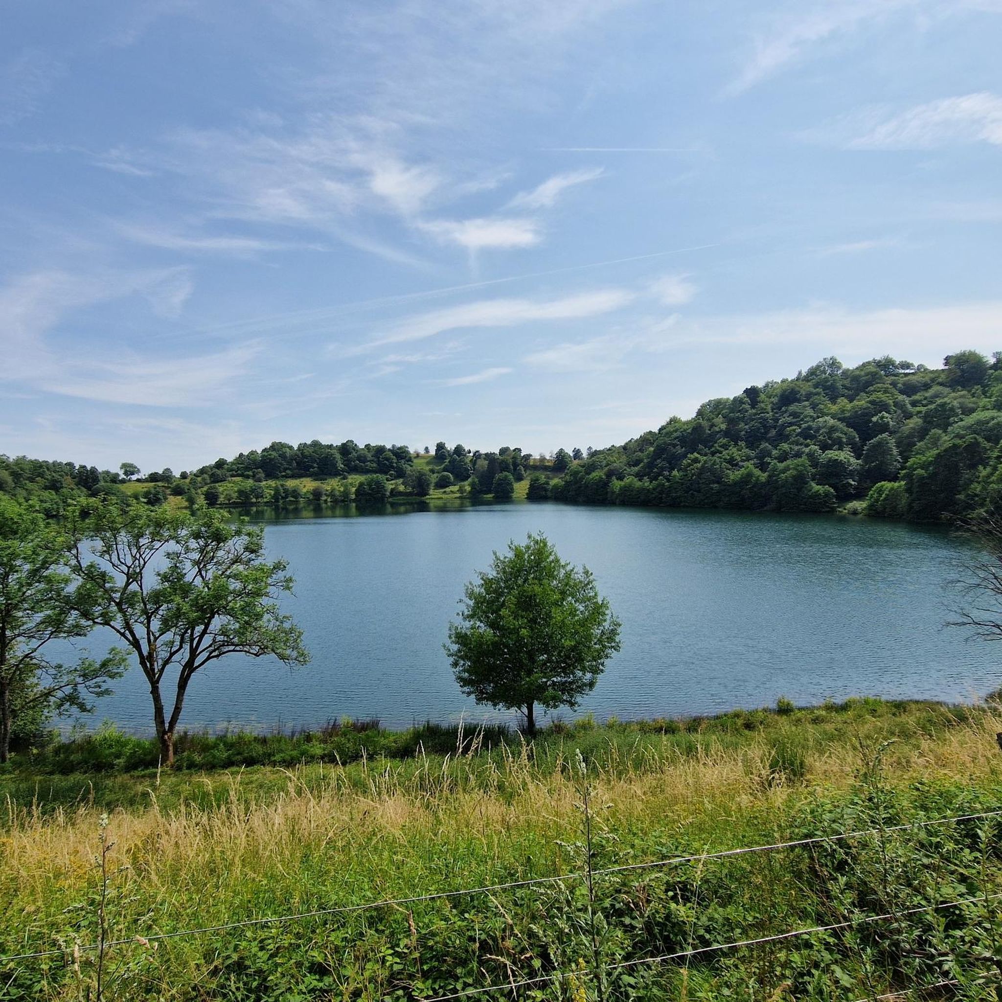
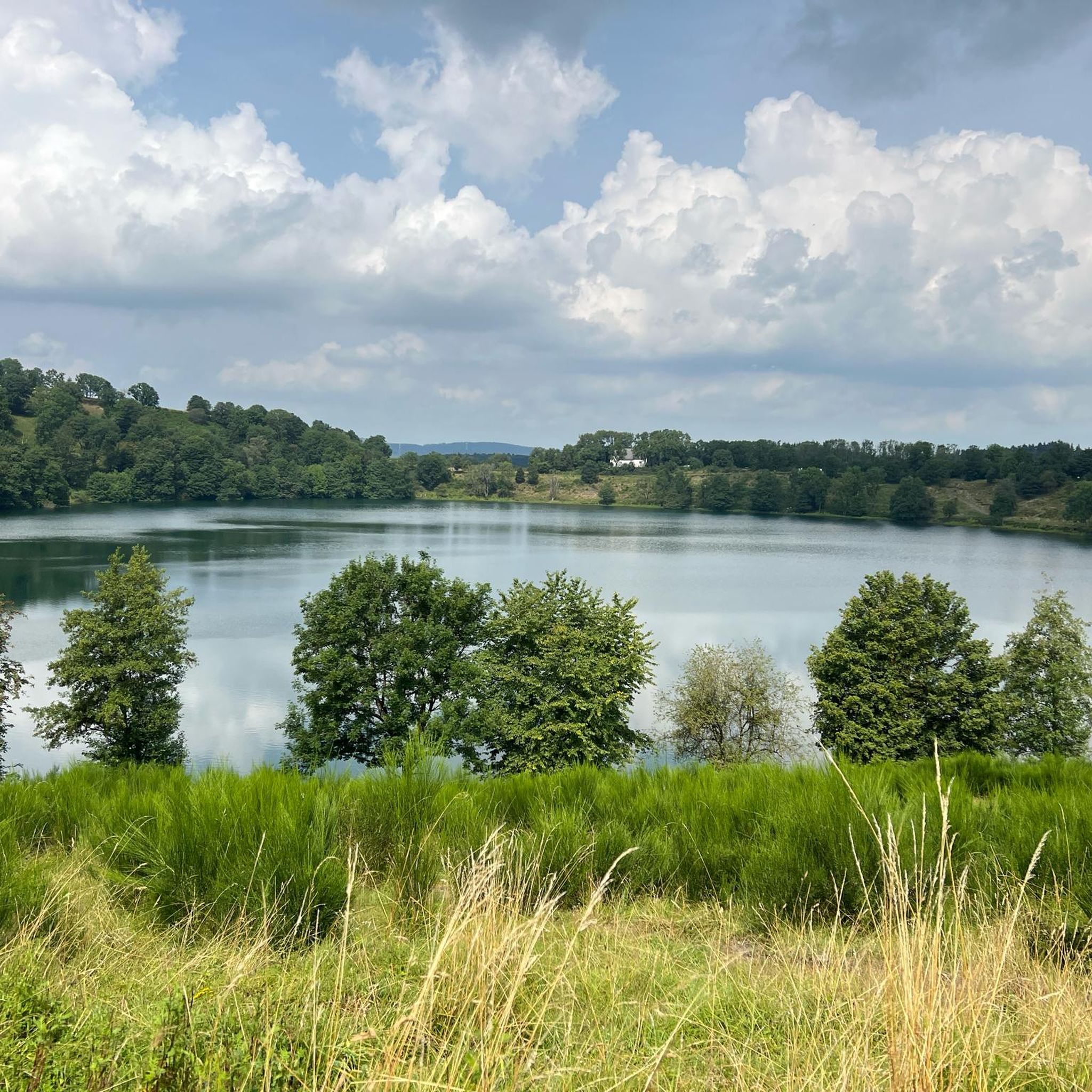
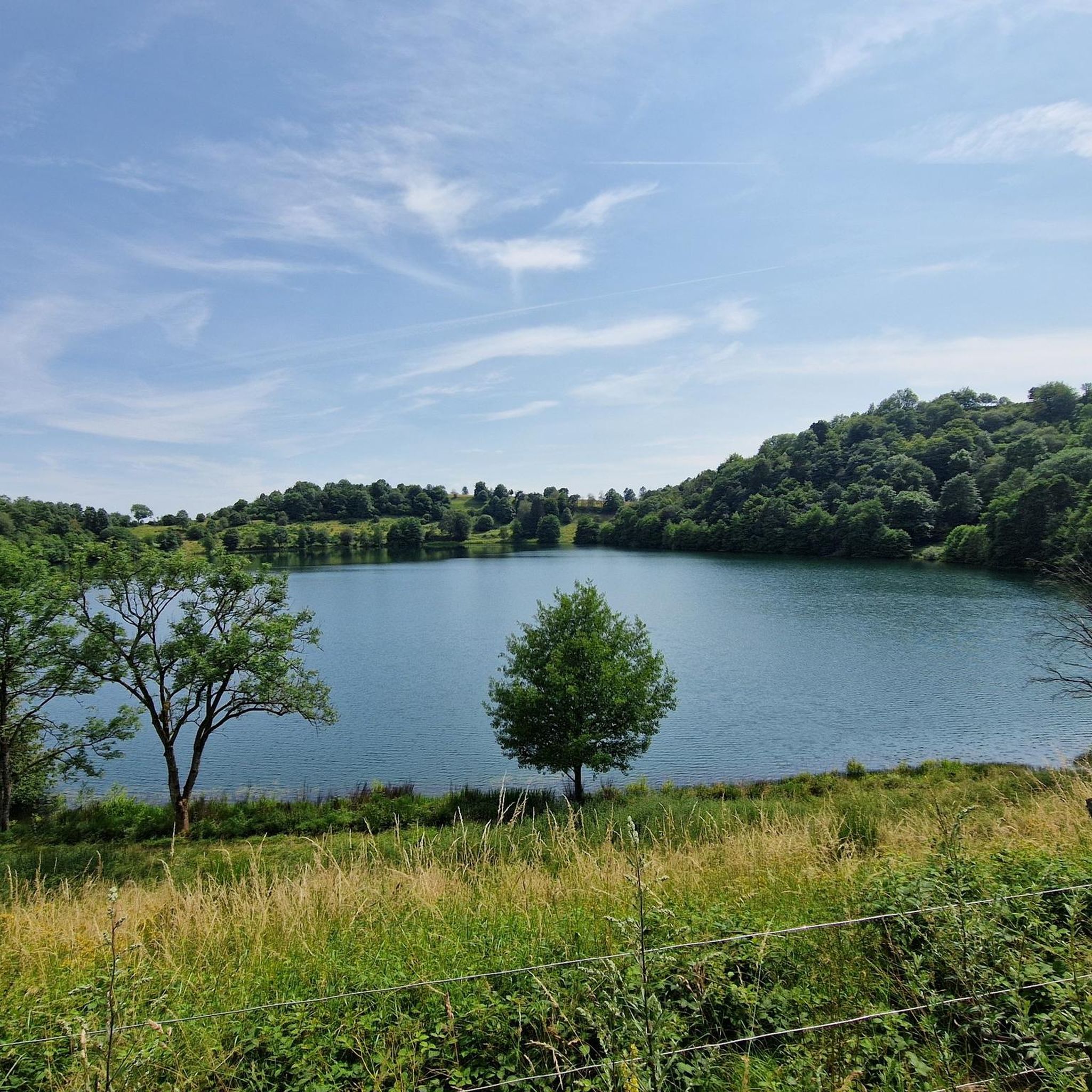
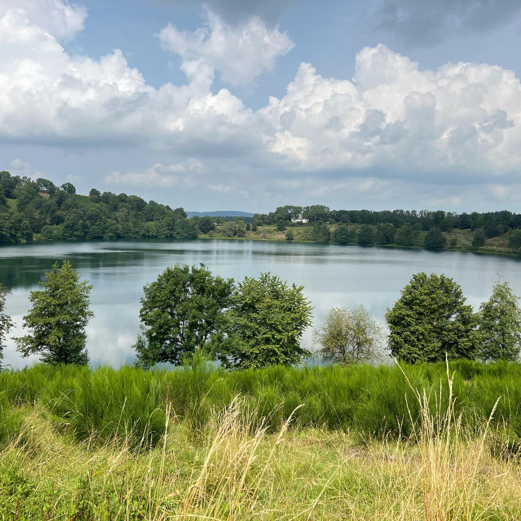
The Daun Maars - 10,000-Year-Old Volcanic Lakes The Daun Maars were formed around 10,000 years ago from volcanic steam explosions. Hot lava rises from the Earth's interior and encounters water, which suddenly evaporates. This blasts away entire mountain peaks. What remains is a deep crater that fills with water over the years and a wall of boulders surrounding the lake. The Daun Maars include the Gemünden Maar, the Weinfelder Maar, and the Schalkenmehrener Doppelmaar. One crater of the Schalkenmehrener Maar has silted up over the millennia. The area is a nature reserve and a refuge for waterfowl and rare dragonfly species. Text / Source: deutschland-outdoor.der https://deutschland-outdoor.de/eifel/dauner-maare
13
0
Frequently Asked Questions
How many road cycling routes are available around Weinfelder Maar?
There are over 150 road cycling routes available around Weinfelder Maar, offering a diverse range of experiences from easy rides to challenging climbs through the volcanic Eifel landscape.
Are there easy road cycling routes suitable for beginners or families?
Yes, the region offers several easy road cycling routes. A notable option is the Daun Viaduct – Großes Schlitzohr Tunnel loop from Gemünden, which is an easy 12.2-mile (19.6 km) trail following a former railway line with gentle inclines and tunnels. The broader Maare-Mosel Cycle Route is also known for its comfortable, continuously asphalted path, ideal for leisure cyclists.
What kind of terrain can I expect on road cycling routes in Weinfelder Maar?
Road cycling routes around Weinfelder Maar feature varied terrain. You'll encounter the unique volcanic landscapes of the Eifel Mountains, including forested hills and paths built on former railway lines. Expect a mix of 'green volcanic Eifel' scenery, circular lakes, and routes with significant elevation changes for those seeking a challenge.
Are there challenging road cycling routes for experienced cyclists?
Absolutely. For experienced cyclists seeking a greater physical test, there are numerous challenging routes with significant elevation changes. An example is the Mosel-Maare Cycle Path – Maare-Moselle Cycle Path loop from Schalkenmehren, a 38.8-mile (62.4 km) trail with over 1,100 meters of elevation gain, leading through the Vulkaneifel and connecting to the Mosel vineyards.
What are some notable attractions or viewpoints along the road cycling routes?
Cyclists can enjoy several attractions and viewpoints. The historic Weinfelder Chapel (St. Martin's Chapel) is located on the north bank of the maar. For panoramic views over the Eifel, the Dronke Tower near the maar is an excellent spot. The routes also pass by the other Daun Maars, Gemündener Maar and Schalkenmehrener Maar, and feature sights like viaducts and tunnels, especially along the Maare-Mosel Cycle Route.
Is there a popular long-distance cycle path that passes through the Weinfelder Maar area?
Yes, the renowned Maare-Mosel Cycle Route is a major highlight. This continuously asphalted path, built on a former railway line, runs from the heart of the UNESCO Global Geopark Vulkaneifel to the Mosel vineyards, passing directly by the Daun Maars, including Weinfelder Maar. It's known for its gentle inclines and scenic journey through tunnels and over bridges. You can find more information about this route on VisitMosel.de.
What do other road cyclists say about the routes around Weinfelder Maar?
The road cycling routes around Weinfelder Maar are highly rated by the komoot community, with an average score of 4.6 stars from over 140 reviews. Cyclists often praise the unique volcanic landscapes, the well-maintained paths, and the variety of routes suitable for different skill levels.
Are there any loop trails for road cycling in the area?
Yes, many road cycling routes around Weinfelder Maar are designed as loop trails, allowing you to start and end at the same point. For example, the Strohner Lava Bomb – Pulvermaar loop from Schalkenmehren is a moderate 29.4-mile (47.3 km) path that explores the volcanic landscape in a circular fashion.
When is the best season for road cycling around Weinfelder Maar?
The Eifel region, including Weinfelder Maar, is generally pleasant for road cycling from spring through autumn. Spring offers blooming landscapes, while summer provides warmer weather. Autumn is particularly scenic with vibrant fall foliage. Always check local weather conditions before heading out, as the Eifel can have changeable weather.
Are there options for parking near the road cycling trails?
Yes, various starting points for road cycling routes around Weinfelder Maar offer parking facilities. Towns like Daun and Schalkenmehren, which are common starting points for tours, typically have designated parking areas for visitors. It's advisable to check specific route descriptions for detailed parking information.
Can I reach the road cycling trails by public transport?
Public transport options are available to reach the Weinfelder Maar region. The Maare-Mosel Cycle Route, for instance, is well-connected, and some local bus services cater to cyclists, especially during peak season. It's recommended to check regional public transport schedules and bicycle carriage policies in advance.
What are the typical distances and elevation gains for road cycling routes here?
The routes vary significantly. Easy routes, like the Daun Viaduct – Großes Schlitzohr Tunnel loop, can be around 12 miles (19.6 km) with about 260 meters of elevation gain. More challenging routes, such as the Kyllburg Riverside – Maare-Moselle Cycle Path loop, can extend over 66 miles (107.4 km) with more than 1,800 meters of elevation gain, offering options for all fitness levels.
Most popular routes around Weinfelder Maar
Most popular attractions around Weinfelder Maar

Get inspired with the komoot mobile app


Explore more
Browse the best Road cycling routes in other regions.
