The best MTB trails around Weinfelder Maar
4.5
(1886)
6,664
riders
442
rides
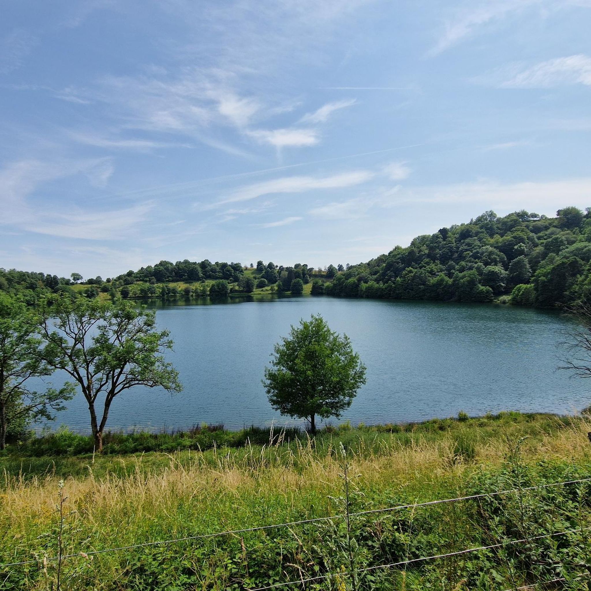
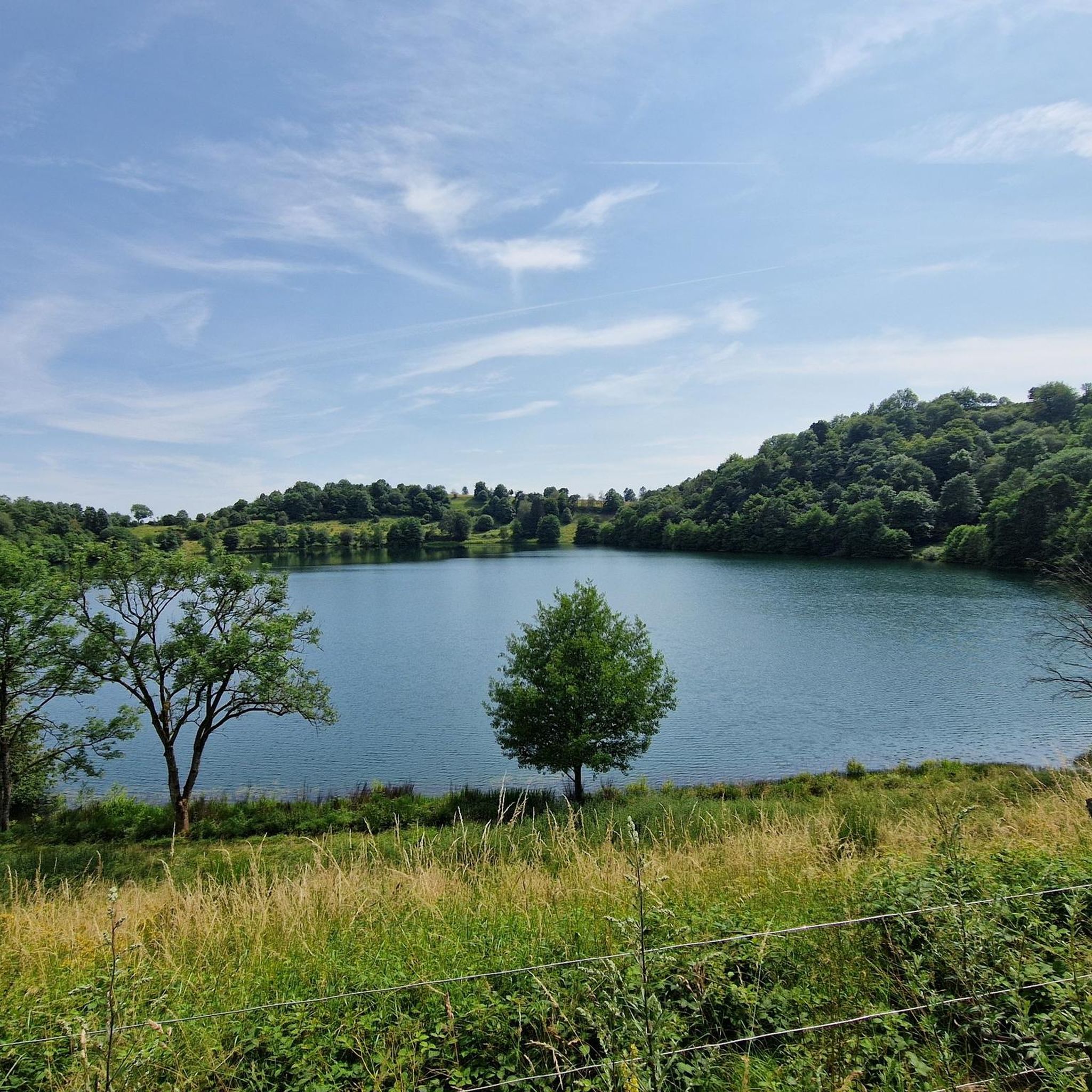
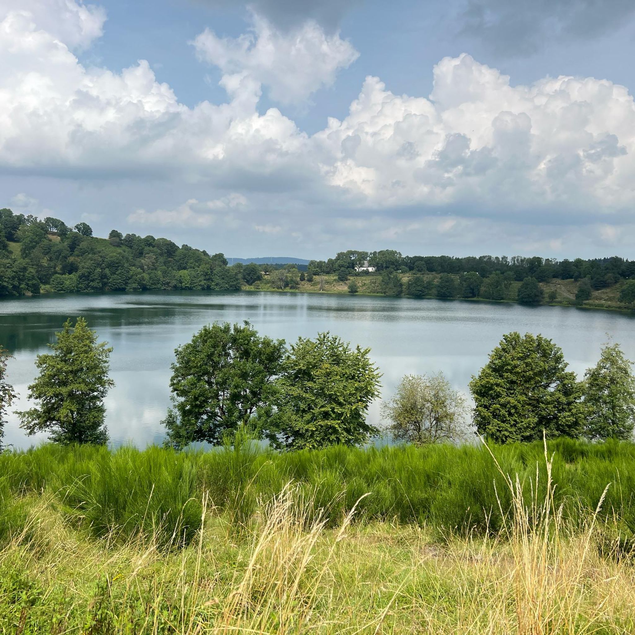
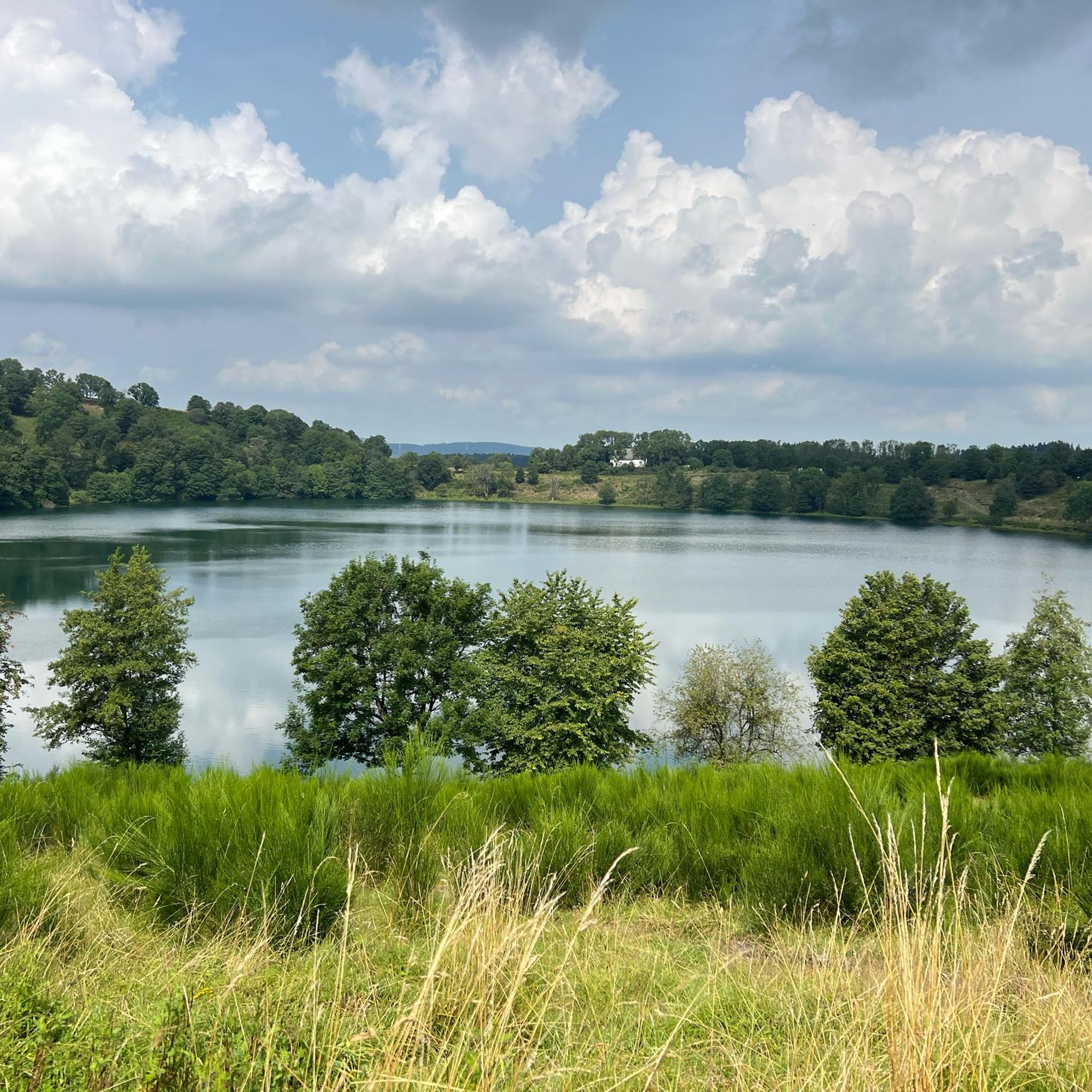
Mountain biking around Weinfelder Maar offers varied terrain within a distinctive volcanic landscape, characterized by constant climbing and descending. The region features a deep-blue maar lake at 487 meters above sea level, surrounded by wooded slopes composed of tuff and coarse-grained lava. This geological makeup provides diverse challenges for mountain bikers, from moderate rides to routes requiring good fitness and significant elevation changes. The area is part of the Natur- und Geopark Vulkaneifel, highlighting its unique geological significance.
Best mountain…
Last updated: August 9, 2026
4.7
(39)
143
riders
Moderate mountain bike ride. Good fitness required. Advanced riding skills necessary.
4.1
(9)
28
riders
41.2km
03:19
590m
590m
Moderate mountain bike ride. Good fitness required. Advanced riding skills necessary.

Sign up for free
4.8
(25)
87
riders
62.0km
06:06
1,440m
1,440m
Hard mountain bike ride. Very good fitness required. Advanced riding skills necessary. Some portions of the route may require you to push your bike.
4.7
(27)
100
riders
Moderate mountain bike ride. Good fitness required. Advanced riding skills necessary.
4.7
(12)
32
riders
Moderate mountain bike ride. Good fitness required. Advanced riding skills necessary.
Get access to more routes and recommendations from other explorers.
Sign up for free
Already have an account?
Our route recommendations are based on thousands of hikes, rides, and runs completed by other people on komoot.
Start today with a free account
Your next adventure awaits.
Login or Signup
Tips from the Community

swimming and boating with your own inflatable boat
0
0

Not possible to see the lake anymore in 2026 due to growth of the bushes
0
0

Lake with a bathing spot and beautiful views of Schalkmehren.
0
0

The Ulmen Maar lies 420 meters above sea level today, covers an area of 5.5 hectares, and is 36 meters deep. The bubbles at the maar's edge demonstrate that volcanism is still active. They bear witness to a turbulent past—but rest assured, there's no eruption in sight! A wall of various rocks and ash, up to 20 meters thick, surrounds the cone. For those interested, these testimonies to this explosive past are beautifully displayed in St. Matthias Church. This unique wall, with its different colored layers and rounded inclusions, is worth seeing for more than just geologists. The slopes of the maar basin are covered with a beautiful forest, which can be explored on a circular walk. A detour to the medieval castle ruins, from which the Crusaders once launched their campaigns, is recommended. The view from the crater rim over the maar and the Eifel beyond will take your breath away. Whether after a sweaty hike or a long drive, the blue of the Ulmer Eifel lake is all too tempting in summer. However, bathing in the maar is prohibited because it is designated as a nature and water protection area.
7
0

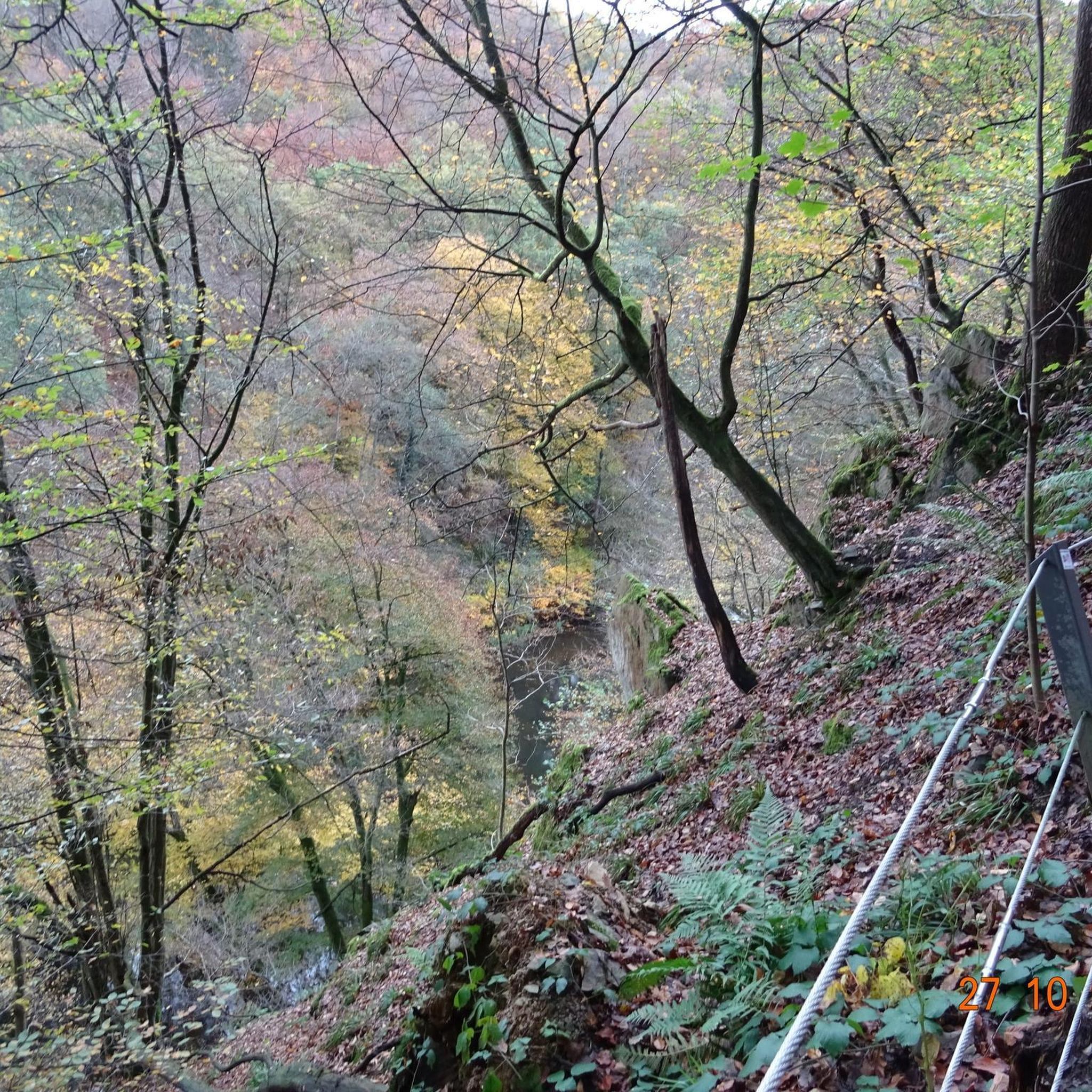
Even in autumn and winter, the Dronketurm offers a stunning view over the Gemündener Maar to the Ernstberg. Hidden away below the Dronketurm (Mouse Tower) is the old Karl Kaufmann Bank.
0
0

Beautiful circular path in the shade suitable for wheelchairs/strollers
0
0

"Old Station" Schalkenmehren Passenger service between Daun and Wittlich was discontinued on November 1, 1981. Schalkenmehren. Approaching the Old Station in Schalkenmehren on the former railway line, today's Maare-Mosel cycle path, and seeing the station building, it's hard to believe that it was opened as a fourth-class railway station exactly 100 years ago. But how did it all begin 100 years ago? Surveying for the Daun-Wittlich railway line began as early as 1897. General preparatory work for the single-track line began in 1907. But it would take some time before the Daun-Schalkenmehren-Gillenfeld section opened on December 1, 1909, with the line running over the 28-meter-high Daun viaduct and through the 560-meter-long Schalkenmehren railway tunnel, "Großes Schlitzohr" (Great Sly Fox). The extension from Gillenfeld to Manderscheid to Pantenburg was completed on May 1, 1910, and the extension from Manderscheid-Pantenburg to Wittlich, signifying the completion of the entire line, was completed on July 1, 1910. The completion of the Daun-Wittlich railway line brought rapid development to the village of Schalkenmehren. In the first year of the line's existence (1910), 18,968 tickets were sold in Schalkenmehren, followed by 25,057 in 1913, 27,969 in 1919, and even 30,279 in 1922. In addition, Schalkenmehren station was designed for general cargo traffic and the receipt and dispatch of wagonloads. Text / Source: www.volksfreund.de/ https://www.volksfreund.de/region/vulkaneifel/ein-schmuckstueck-fuer-nostalgiker_aid-5712448
13
0
Weinfelder Maar - Impressive Evidence of Explosive Geological History The Weinfelder Maar – also known as Totenmaar – is one of the three so-called Daun Maars. It is located about 2 kilometers from our district town of Daun, near the municipality of Schalkenmehren, between the Gemünden and Schalkenmehren Maars. It has a diameter of approximately 525 meters and a depth of 51 meters, making it the deepest of the three Daun Maars. It is the youngest and, at 487 meters above sea level, the highest of the three closely adjacent maars, which formed between 20,000 and 30,000 years ago. Text / Source: Natur- und Geopark Vulkaneifel GmbH, Mainzer Str. 25, Daun https://www.geopark-vulkaneifel.de/eifel/landschaft/maare-und-kraterseen/weinfelder-maar.html
12
0
Frequently Asked Questions
How many mountain bike trails are available around Weinfelder Maar?
The region offers over 460 mountain bike trails, catering to various skill levels. You'll find a mix of easy, moderate, and difficult routes, with 75 easy, 297 moderate, and 88 difficult options.
What kind of terrain and difficulty can I expect on mountain bike trails near Weinfelder Maar?
The terrain is characterized by constant climbing and descending due to its volcanic origin, with paths sometimes made of coarse-grained lava. Routes wind through wooded slopes, offering diverse challenges from flowing trails to rocky passages. The area has routes ranging from easy to difficult, with a significant number of moderate trails.
Are there any notable landmarks or viewpoints along the mountain bike trails?
Yes, many trails offer stunning views. The Dronke Tower on the Mäuseberg – View of the Weinfelder Maar loop from Schalkenmehren route, for example, includes the Dronke Tower, which provides panoramic views over the Eifel landscape. You can also expect to see the deep-blue maar lake itself and other volcanic features.
What do other mountain bikers enjoy most about mountain biking in Weinfelder Maar?
The area is highly rated by the komoot community, with an average score of 4.6 stars from over 2,000 reviews. Reviewers often praise the varied terrain, the stunning views of the maar lakes, and the well-integrated network of trails that allow for diverse riding experiences.
Are there any family-friendly mountain bike trails around Weinfelder Maar?
While the region is known for its constant climbing and descending, there are 75 easy routes available. These trails typically feature broader forest paths suitable for families or those seeking a less strenuous ride. Always check the route details for specific difficulty and elevation profiles to ensure it matches your family's skill level.
Are dogs allowed on the mountain bike trails?
The trails around Weinfelder Maar are generally accessible for dogs, especially on broader forest paths. However, as the maar and its immediate surroundings are a protected nature reserve, it's always best to keep dogs on a leash, particularly near sensitive areas or wildlife. Be mindful of other trail users and local regulations.
Where can I park my car when mountain biking near Weinfelder Maar?
Parking is available at various points around the maar. A common starting point is the Maarsattel, which is located between Weinfelder Maar and the neighboring Schalkenmehrener Maar. This provides convenient access to the extensive trail network.
Can I reach the mountain bike trails by public transport?
Public transport options exist to reach the general area, particularly to towns like Daun or Schalkenmehren, which are common starting points for tours. From these locations, you can often connect to the trail network. It's advisable to check local bus schedules and bike transport policies in advance.
What is the best time of year for mountain biking around Weinfelder Maar?
The spring and autumn months generally offer the most pleasant conditions for mountain biking, with milder temperatures and vibrant natural scenery. Summer can also be good, but trails might be busier. Winter riding is possible, but be prepared for potentially wet, muddy, or icy conditions, especially on higher elevations and shaded paths.
Are there any circular mountain bike routes available?
Yes, many routes in the region are designed as loops. For instance, the View of Schalkenmehrener Maar – Immerath Maar loop from Schalkenmehren is a popular moderate circular trail that takes you past neighboring maars. Another option is the View of the Weinfelder Maar – Dronketurm tower loop from Schalkenmehren, a shorter moderate loop.
Are there any cafes or restaurants near the mountain bike trails?
While Weinfelder Maar itself is a protected nature reserve with no direct facilities on its banks, the nearby villages like Schalkenmehren offer cafes and restaurants where you can refuel after your ride. These villages are often integrated into the wider trail network.
Are there any permits required for mountain biking in the Weinfelder Maar area?
Generally, no specific permits are required for mountain biking on the designated trails in the Volcanic Eifel region, including around Weinfelder Maar. However, always respect local signage, stay on marked paths, and adhere to any specific rules for protected areas to preserve the natural environment.
Most popular routes around Weinfelder Maar
Most popular attractions around Weinfelder Maar

Get inspired with the komoot mobile app


Explore more
Browse the best MTB trails in other regions.
