The best road cycling routes around Dam Saidenbach
4.6
(116)
988
riders
78
rides
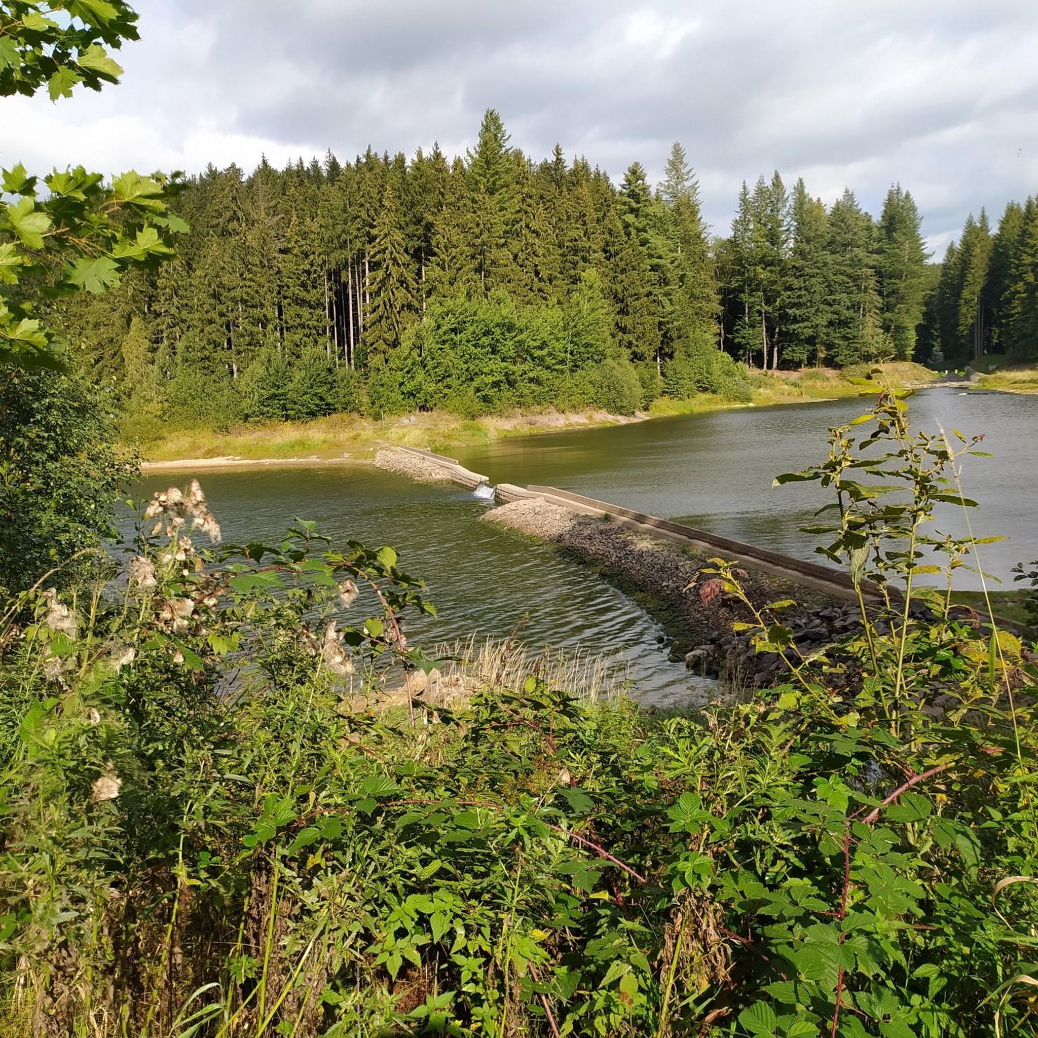
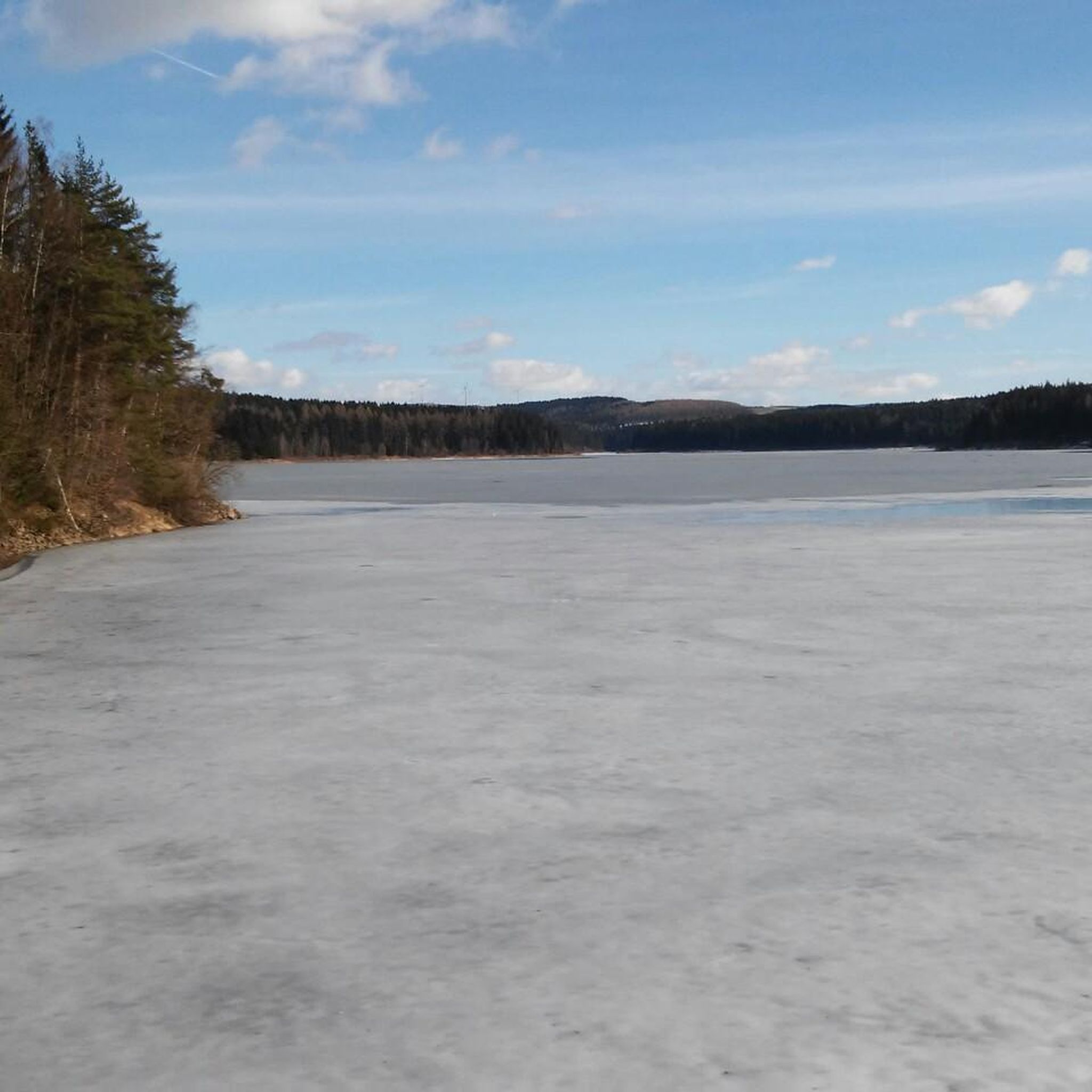
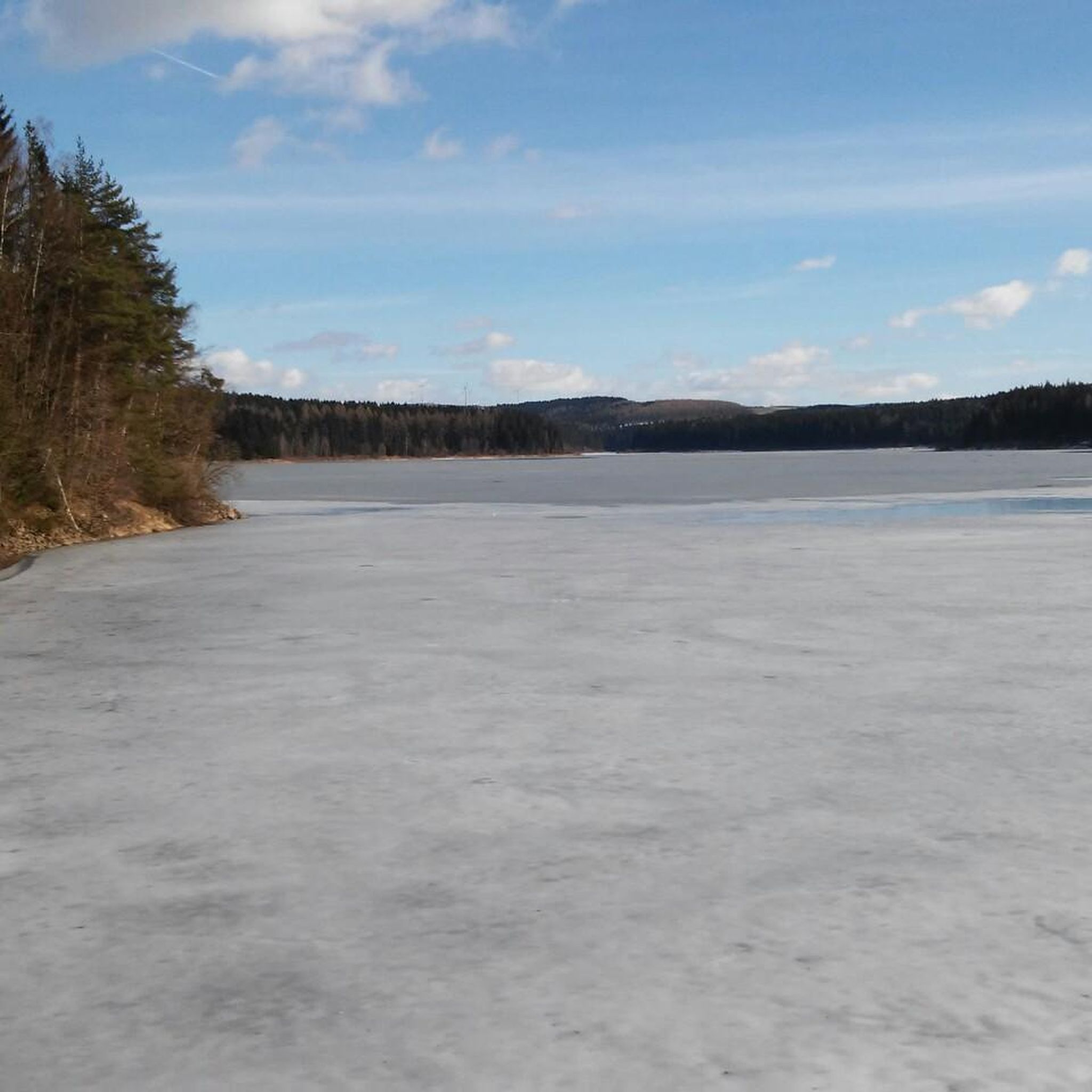
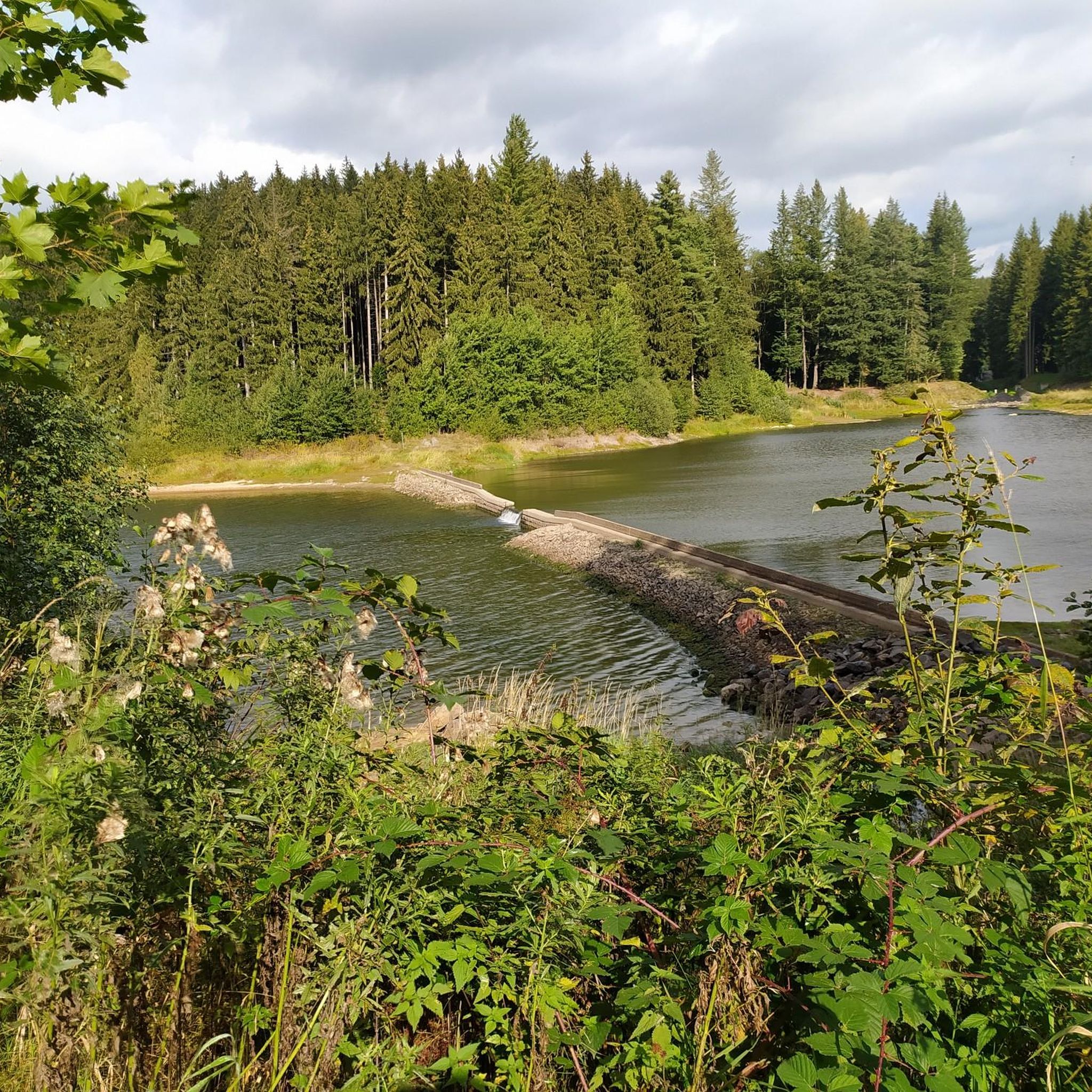
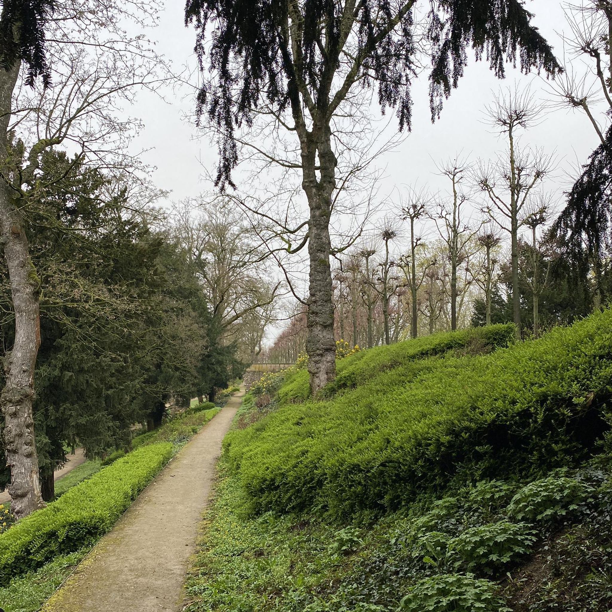
Road cycling routes around Dam Saidenbach are situated within the Ore Mountains (Erzgebirge) in Saxony, Germany, characterized by forested hills and the prominent Saidenbach Reservoir. The region offers varied terrain, including both paved roads and segments with elevation changes suitable for road cyclists. This landscape is part of a 4500-hectare protection area, providing a tranquil backdrop for rides. The area's natural features include the reservoir itself and the surrounding mountain environment, which contribute to diverse cycling experiences.
Best road cycling…
Last updated: June 27, 2026
5.0
(1)
11
riders
25.5km
01:12
330m
330m
Moderate road ride. Good fitness required. Mostly well-paved surfaces and easy to ride.
13
riders
Moderate road ride. Good fitness required. Mostly well-paved surfaces and easy to ride.

Sign up for free
11
riders
54.3km
03:33
750m
750m
Moderate road ride. Good fitness required. Some segments of this route may be unpaved and difficult to ride.
5.0
(1)
11
riders
54.4km
02:29
630m
630m
Moderate road ride. Good fitness required. Mostly well-paved surfaces and easy to ride.
4.0
(1)
6
riders
24.2km
01:22
460m
460m
Moderate road ride. Good fitness required. Mostly well-paved surfaces and easy to ride.
Get access to more routes and recommendations from other explorers.
Sign up for free
Already have an account?
Our route recommendations are based on thousands of hikes, rides, and runs completed by other people on komoot.
Start today with a free account
Your next adventure awaits.
Login or Signup
Tips from the Community

One of many beautiful descents here.
0
0


Well-maintained path, quiet on weekdays and almost deserted.
0
0


Delicious cakes, ice cream, and coffee. Just stop by.
0
0
Just before the finish, enjoy a piece of cuisine and a coffee. :-)
0
0

little traffic, you can really accelerate
0
0

Caution: Very narrow passage during the descent. Be prepared for oncoming traffic. As someone unfamiliar with the area, I found this dangerous.
0
0
Frequently Asked Questions
How many road cycling routes are available around Dam Saidenbach?
The Dam Saidenbach region offers a wide selection of road cycling routes, with over 70 tours available. These routes cater to various skill levels, including 8 easy, 57 moderate, and 13 difficult options, ensuring there's a suitable ride for every cyclist.
What kind of terrain can I expect on road cycling routes near Dam Saidenbach?
Road cycling around Dam Saidenbach is characterized by varied terrain within the picturesque Ore Mountains. You'll encounter forested hills, paved roads, and segments with elevation changes, offering both challenging ascents and scenic, tranquil stretches around the reservoir. The landscape is part of a 4500-hectare protection area, providing a beautiful natural backdrop for your rides.
Are there challenging road cycling routes for experienced riders?
Yes, for experienced road cyclists seeking a challenge, the region offers 13 difficult routes. A notable example is the Elterlein–Langeberg Road – S216 Natzschungtal Road loop from Pockau-Lengefeld, which covers 103.2 miles (166.1 km) with significant elevation gain, traversing demanding terrain.
What can I see along the road cycling routes around Dam Saidenbach?
Many routes offer stunning views of the Saidenbach Reservoir and the surrounding Ore Mountains. You can also discover viewpoints like the View of the Saidenbach Reservoir, providing panoramic vistas. Some routes, like the Niederlauterstein Castle Ruins – Checkpoint Niederlauterstein loop from Pockau-Lengefeld, pass near historical sites, adding cultural interest to your ride.
Are there any family-friendly road cycling routes in the area?
While the region offers a mix of difficulties, there are 8 easy routes that could be suitable for families or those looking for a more relaxed ride. These routes often feature less elevation and provide a great way to enjoy the tranquil atmosphere and scenic beauty of the Dam Saidenbach area at a leisurely pace.
What do other road cyclists enjoy most about cycling in Dam Saidenbach?
The area is highly rated by the komoot community, with an average score of 4.6 stars from over 160 reviews. Cyclists often praise the diverse terrain, the tranquil atmosphere, and the beautiful views of the Saidenbach Reservoir and the forested Ore Mountains. The well-maintained routes and the variety of options for different skill levels are also frequently highlighted.
Are there any circular road cycling routes available?
Yes, many of the road cycling routes around Dam Saidenbach are designed as loops, allowing you to start and end at the same point. Examples include the popular View of Rauenstein Castle – Reifland Serpentines loop from Lippersdorf and the Voigtsdorfer Katzenwiegen – Lichtenberg Scenic Cycle Path loop from Forchheim, which offers a moderate 34.5-mile (55.5 km) ride.
Where can I find parking for road cycling routes near Dam Saidenbach?
While specific parking locations are not detailed in every route description, many tours, such as the Neunzehnhain I Dam – Reifland Serpentines loop from Pockau-Lengefeld, start from towns like Pockau-Lengefeld or Lippersdorf. These towns typically offer public parking facilities suitable for accessing the routes. It's advisable to check local parking options in the starting village of your chosen route.
Is public transport available to reach the Dam Saidenbach cycling routes?
The Dam Saidenbach region is situated within the Ore Mountains, and while specific public transport connections directly to every trailhead might vary, towns like Pockau-Lengefeld, which serve as starting points for several routes, are generally accessible by regional bus services. For detailed public transport information, it's recommended to check local transport schedules for connections to the specific starting points of your chosen route.
What is the best time of year for road cycling around Dam Saidenbach?
The spring, summer, and early autumn months generally offer the best conditions for road cycling around Dam Saidenbach. During these seasons, the weather is typically mild, and the natural beauty of the Ore Mountains and the reservoir is at its peak. Always check the local weather forecast before heading out, as conditions can change, especially in mountainous regions.
Are there any cafes or amenities along the road cycling routes?
While the Dam Saidenbach area is known for its tranquil natural environment, many routes start or pass through charming villages and towns in the Ore Mountains. These locations often provide opportunities for refreshments, such as cafes, bakeries, or small shops. It's a good idea to plan your route and check for amenities in the towns you'll be passing through.
Most popular routes around Dam Saidenbach
Most popular attractions around Dam Saidenbach

Get inspired with the komoot mobile app


Explore more
Browse the best Road cycling routes in other regions.
