The best running trails around Fort Valley
5.0
(3)
861
runners
19
runs
Jogging routes around Fort Valley, Arizona, are primarily found within the Flagstaff area, offering a diverse range of terrain for runners. The region is characterized by its high-desert environment, with trails often following Fort Valley Road and connecting to the broader Flagstaff Urban Trails System. Elevation ranges from approximately 6,900 to over 7,100 feet, providing a mix of gentle to moderate grades, with some routes featuring more significant inclines. These trails navigate through local landscapes, including forested areas and open…
Last updated: October 1, 2026
21
runners
22.9km
02:48
750m
750m
Hard run. Very good fitness required. Mostly accessible paths. Some sure footedness required.
5.0
(1)
13
runners
Moderate run. Good fitness required. Mostly paved surfaces. Suitable for all skill levels.

16
runners
13.9km
01:40
550m
550m
Hard run. Very good fitness required. Mostly paved surfaces. Suitable for all skill levels.
7
runners
16.5km
02:02
180m
180m
Hard run. Very good fitness required. Mostly paved surfaces. Suitable for all skill levels.
12
runners
19.6km
02:27
300m
300m
Hard run. Very good fitness required. Mostly paved surfaces. Suitable for all skill levels.
Get access to more routes and recommendations from other explorers.
Already have an account?
Our route recommendations are based on thousands of hikes, rides, and runs completed by other people on komoot.
Start today with a free account
Your next adventure awaits.

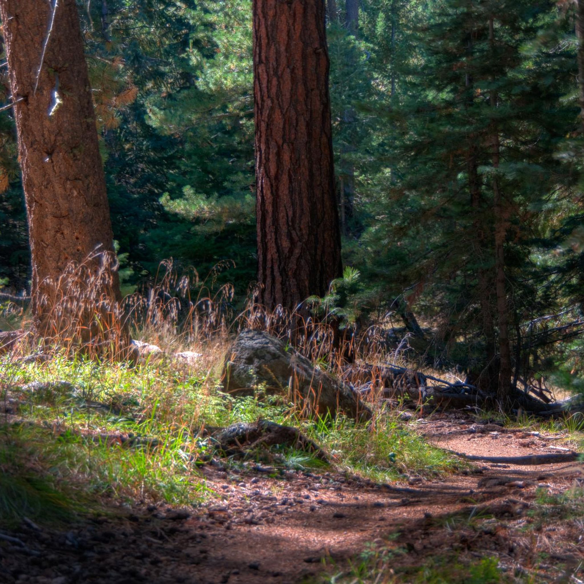
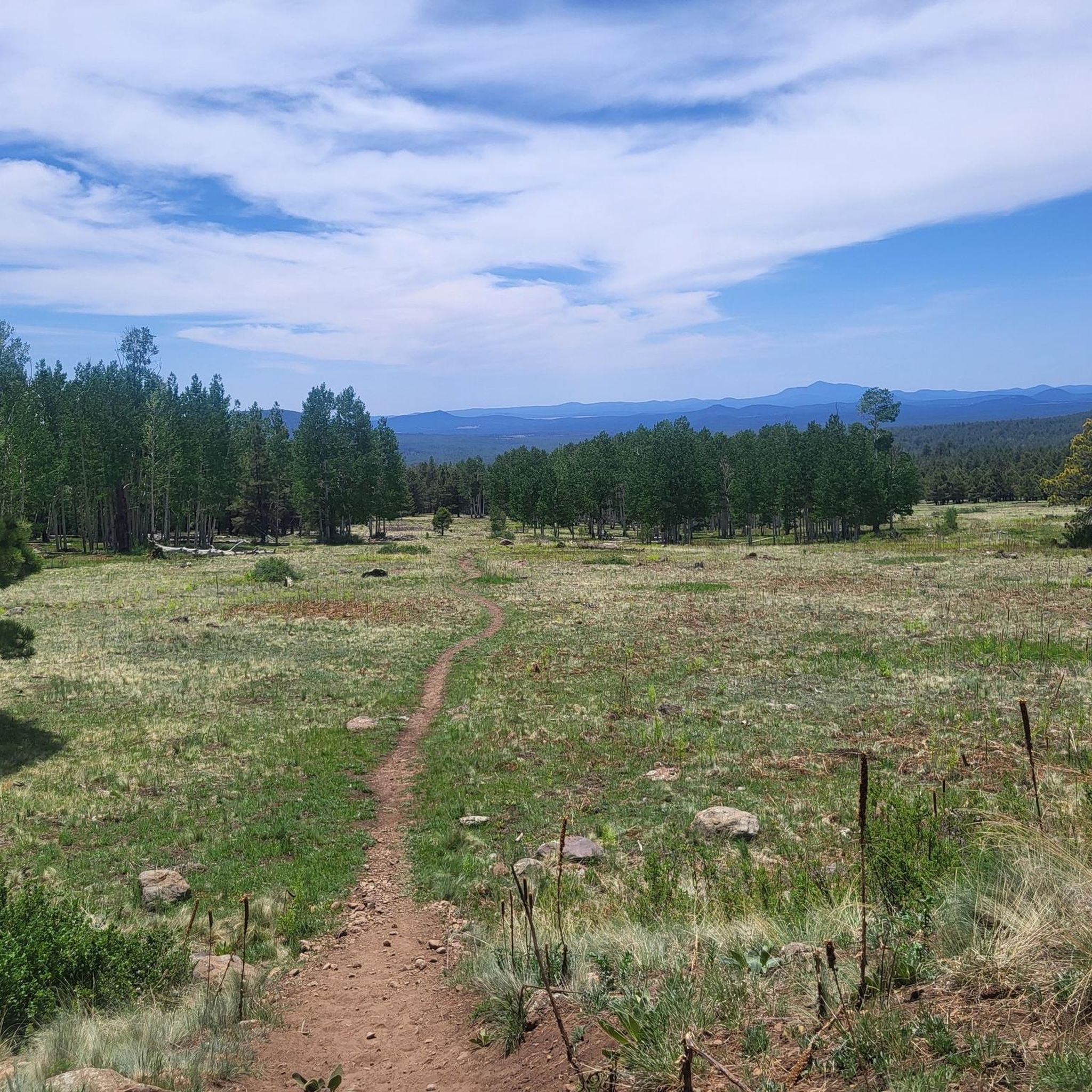
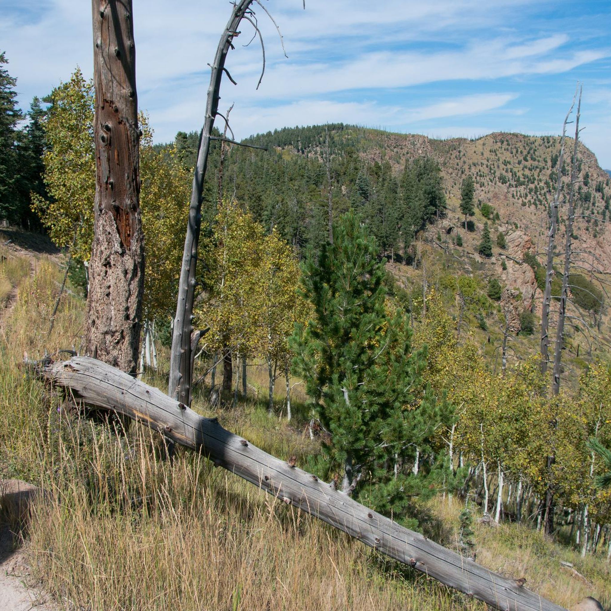
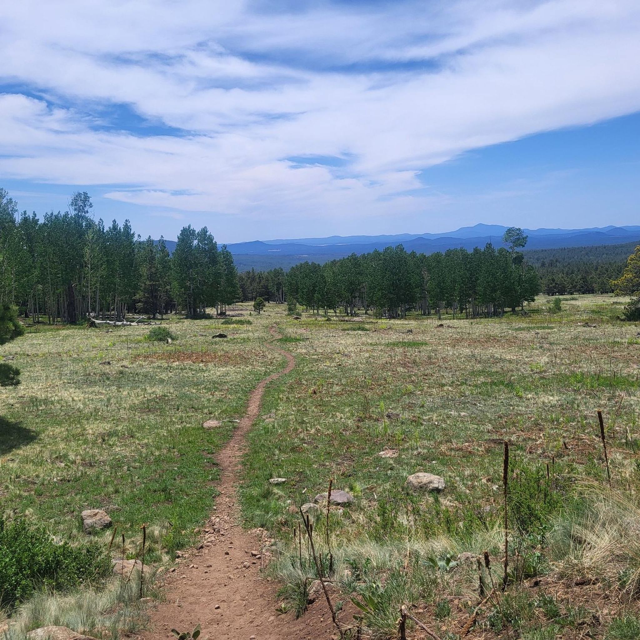

Other adventures around Fort Valley

Tips from the Community

The Karen Cooper Trail is part of the Flagstaff Urban Trail System and passes right below the Anasazi Ridge neighborhood. There is a head-on view of Elden Mountain from the path. If heading north from here on the trail, be aware that there is a trail intersection coming up in just a couple hundred yards.
0
0

With its highest point reaching 9,288 feet, it is a formidable challenge for cyclists. The most popular route, Elden Lookout Road, is a 12.5-mile climb with an elevation gain of over 3,500 feet, testing your endurance and legs. As you ascend, you'll be rewarded with breathtaking panoramic views of the San Francisco Peaks, the city of Flagstaff, and the surrounding valleys, making the effort truly worthwhile.
1
0

The steep trail up Elden Mountain challenges runners with its punishing incline, but those who persevere are rewarded with breathtaking 360-degree views of northern Arizona's landscape from the 9,300-foot summit. Remember to pack plenty of water for a well-deserved break at the top to take in the stunning vistas.
0
0
The Karen Cooper Trail is part of the Flagstaff Urban Trail System and passes right below the Anasazi Ridge neighborhood. There is a head-on view of Elden Mountain from the path. If heading north from here on the trail, be aware that there is a trail intersection coming up in just a couple hundred yards.
1
0
Elden Mountain (also known as Mount Elden) is Flagstaff's local mountain, towering over 2,000 feet above the city. Climbing this peak will take you through aspen groves, rocky outcrops, and the remains of a burned forest. The tower at the top is not to be climbed, but you are still exposed to 360 views from the peak and saddle.
1
0

Quite a bike friendly medium sized city. Flag Bike Rev is the shop you wanna head to if you need help with anything. Lots of good food and decent coffee. Markets for refuels before heading out into the woods.
1
0

The Karen Cooper Trail leads you along the outskirts of Flagstaff, along the Rio de Flag and little parks.
7
2

Flagstaff was founded in 1876 and translates as much as flagpole. The exact origin is interpreted in different ways, but all stories revolve around a central element: a single spruce, freed from its branches, was used as a flagpole. Some say that a group of settlers raised the American flag here on the anniversary of independence, others speak of marking a trade route. In 1881 the railroad came through the small town and with it the upswing. The University of Northern Arizona opened in 1899, making Flagstaff the unofficial capital of northern Arizona. It wasn't just Route 66 that brought tourists to the city. Since the early 20th century, the Flagstaff surrounding 7 natural wonders Grand Canyon, Oak Creek Canyon, Walnut Canyon, Wupatki National Monument, Sunset Crater National Monument and the San Francisco Peaks were known across the country, giving the city the nickname "City of 7 Wonders." "brought in. Even after Route 66 was stopped, tourists continued to come to the city. In summer the Grand Canyon visitors, in winter numerous skiers who wagged the slopes down to San Francisco Peak, where you can also find Arizona's highest mountain: Humphreys Peak at 3851.
1
0
Frequently Asked Questions
How many running routes are available in the Fort Valley area?
There are over 120 running routes around Fort Valley, Arizona, catering to various skill levels. These include 6 easy routes, 85 moderate routes, and 29 difficult routes, ensuring options for every runner.
What kind of terrain can I expect on jogging trails in Fort Valley, Arizona?
Jogging routes in Fort Valley, Arizona, primarily feature high-desert landscapes, often following Fort Valley Road and connecting to the broader Flagstaff Urban Trails System. You'll encounter a mix of gentle to moderate grades, with some routes offering more significant inclines, especially near the Museum of Northern Arizona. The trails navigate through forested areas and open spaces, providing varied scenery.
Are there any circular running routes in Fort Valley?
Yes, many routes in Fort Valley are circular. For example, the Karen Cooper Trailhead loop from Museum of Northern Arizona is a popular moderate 9.7 km loop. Another great option is the Old Duck Pond – Buffalo Park loop from Coyote Springs, which offers a scenic 13.3 km run.
What do other runners enjoy most about the trails in Fort Valley?
The running routes in Fort Valley are highly rated by the komoot community, with an average score of 5.0 stars. Runners frequently praise the diverse terrain, from moderate loops to challenging mountain ascents, and the beautiful high-desert landscapes that define the area.
Are there any challenging running routes for experienced runners?
Absolutely. For experienced runners seeking a challenge, the Elden Mountain Lookout Tower loop from Museum of Northern Arizona is a difficult 23 km trail with a substantial elevation gain of 732 meters. Another demanding option is the Elden Mountain Lookout Tower loop from Dry Lake Hills, a 13.9 km route with 556 meters of elevation gain.
What interesting landmarks or natural features can I see while running in Fort Valley?
While running in the Fort Valley area, you can encounter several notable natural features and landmarks. Highlights include the majestic Humphreys Peak and the Elden Mountain Lookout Tower, which offers expansive views. You might also pass through areas like Buffalo Park or along the Schultz Creek descent.
Are there any family-friendly running trails in Fort Valley, Arizona?
While specific 'family-friendly' designations aren't always explicit, the Fort Valley Trail in Flagstaff, Arizona, is generally suitable for walking, running, and biking, making it a good option for families. Its gentle to moderate grades and connection to the broader Flagstaff Urban Trails System offer accessible sections for various activity levels.
What is the best time of year for running in Fort Valley, Arizona?
Given Fort Valley's high-desert environment and elevation, spring and fall generally offer the most pleasant running conditions with milder temperatures. Summer mornings can also be good before the heat sets in, while winter might require appropriate gear for colder weather or potential snow at higher elevations.
Are there any running routes that offer significant elevation gain?
Yes, for runners looking for significant elevation gain, the Elden Mountain Lookout Tower loop from Museum of Northern Arizona is an excellent choice, featuring 732 meters of ascent. Another route with substantial climbing is the Elden Mountain Lookout Tower loop from Dry Lake Hills, with 556 meters of elevation gain.
Can I connect to other trail systems from Fort Valley running routes?
Yes, the Fort Valley Trail in Flagstaff, Arizona, is well-connected. It integrates with the broader Flagstaff Urban Trails System and meets other trails like the Karen Cooper Trail (Rio North Trail) and intersects with the Hospital Rim Trail and Schultz Pass Trail, allowing for extended runs and varied routes.
Are there any easy running routes for beginners in Fort Valley?
Yes, Fort Valley offers 6 easy running routes perfect for beginners or those looking for a relaxed run. These trails typically have minimal elevation changes and are a great way to enjoy the local scenery without a strenuous workout.
Where can I find information about parking or public transport access for these running trails?
Many trails in the Fort Valley/Flagstaff area, such as those connected to the Flagstaff Urban Trails System, often have designated parking areas. For specific public transport options or detailed access points, it's recommended to check local Flagstaff public transport resources or trail-specific information for the most up-to-date details.
Most popular attractions around Fort Valley

Get inspired with the komoot mobile app


Explore more
Browse the best Running Trails & Routes in other regions.
