The best walks and hikes around Fort Valley
4.3
(82)
1,308
hikers
18
hikes
Hiking around Fort Valley, Virginia, offers a diverse landscape within the George Washington National Forest, characterized by forested mountains, deep valleys, and the winding Shenandoah River. The terrain includes varied elevations, from gentle valley floors to steeper climbs on Massanutten Mountain. This region provides a mix of natural features, including dense woodlands and scenic viewpoints overlooking the Fort Valley.
Best hiking trails around Fort Valley
- The most popular hiking route is Buffalo Park Loop — Flagstaff, Arizona, a 2.2…
Last updated: October 11, 2026
14
hikers
14.6km
03:59
160m
340m
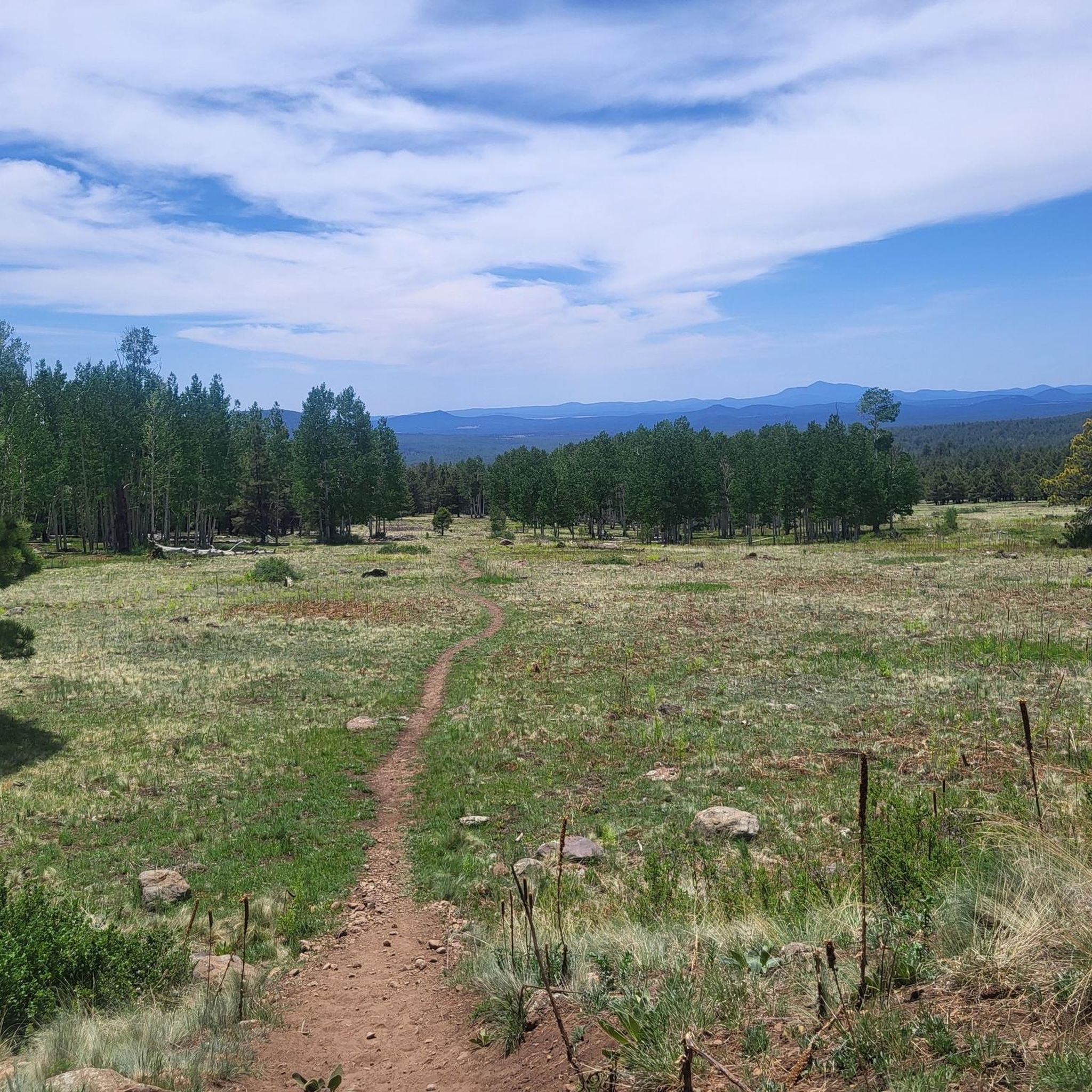
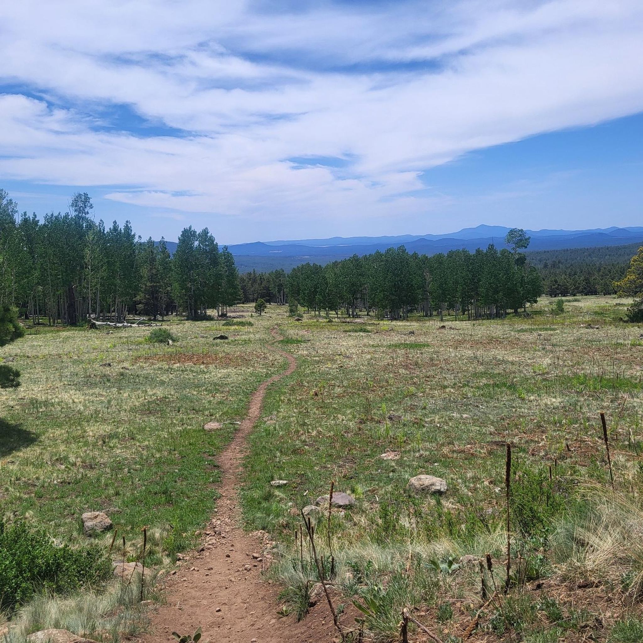
Hike the moderate 9.1-mile Schultz Creek Trail in Flagstaff, enjoying ponderosa pine forests, seasonal wildflowers, and Humphreys Peak views
2
hikers
23.9km
06:57
630m
630m
Embark on the Mount Elden Loop, a difficult 14.9-mile (23.9 km) hike that challenges you with 2073 feet (632 metres) of elevation gain. This route typically takes around 6 hours…

1
hikers
16.9km
05:29
1,210m
80m
Hike the challenging 10.5-mile Weatherford Trail in Arizona's Kachina Peaks Wilderness for panoramic views and alpine scenery.
1
hikers
7.75km
02:22
360m
130m
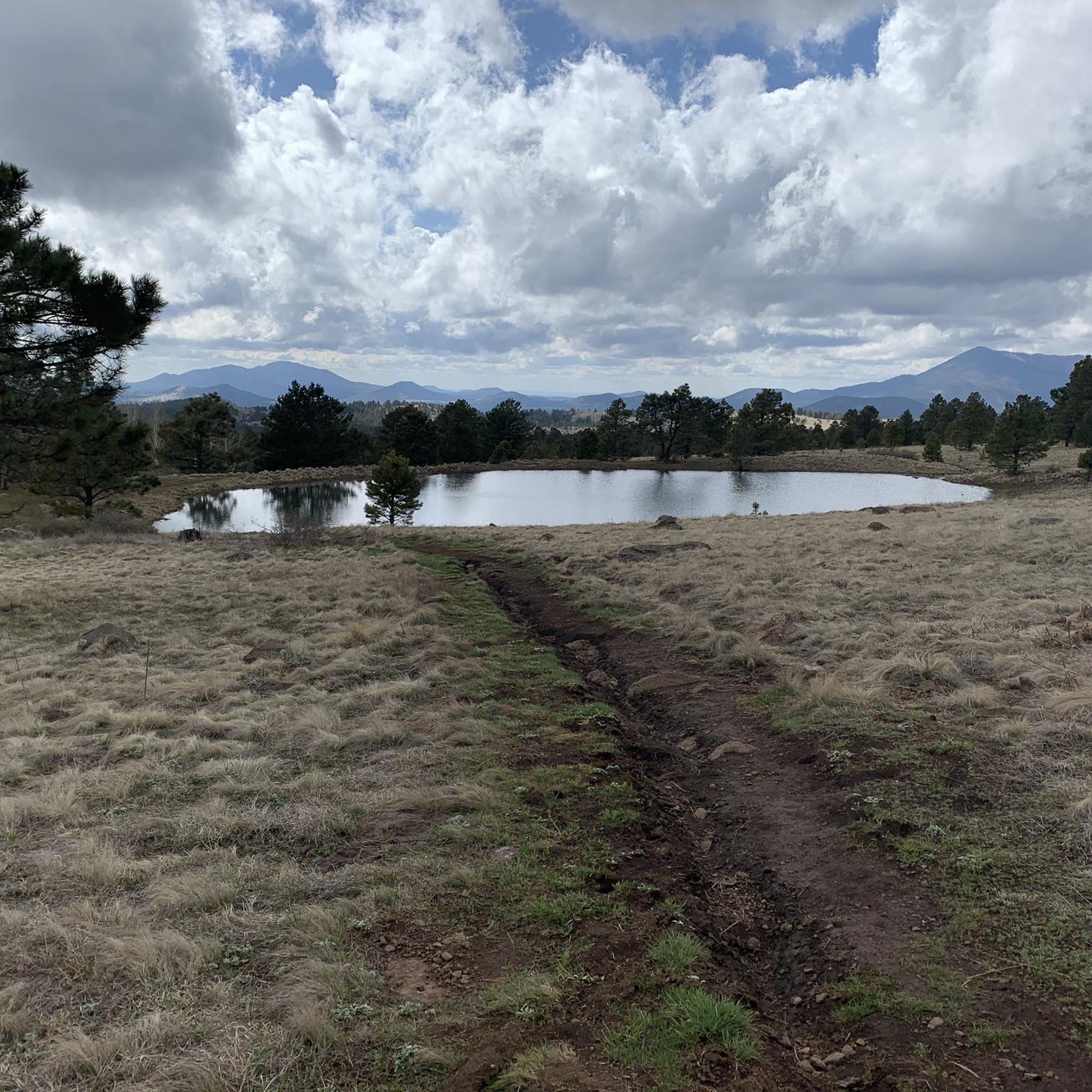
Hike the challenging 4.8-mile Sparkys Pond via Elden Lookout Road, Upper Down, and Brookbank trail for scenic views and diverse forests.
8.50km
02:55
470m
120m
Embark on the Sunset Trail for a moderate hike through the varied terrain of Coconino National Forest. You will experience a steady ascent, covering 5.3 miles (8.5 km) and gaining…
Get access to more routes and recommendations from other explorers.
Already have an account?
Our route recommendations are based on thousands of hikes, rides, and runs completed by other people on komoot.
Start today with a free account
Your next adventure awaits.


Other adventures around Fort Valley

Tips from the Community

With its highest point reaching 9,288 feet, it is a formidable challenge for cyclists. The most popular route, Elden Lookout Road, is a 12.5-mile climb with an elevation gain of over 3,500 feet, testing your endurance and legs. As you ascend, you'll be rewarded with breathtaking panoramic views of the San Francisco Peaks, the city of Flagstaff, and the surrounding valleys, making the effort truly worthwhile.
1
0

The steep trail up Elden Mountain challenges runners with its punishing incline, but those who persevere are rewarded with breathtaking 360-degree views of northern Arizona's landscape from the 9,300-foot summit. Remember to pack plenty of water for a well-deserved break at the top to take in the stunning vistas.
0
0

From Fremont Saddle, you will get views of Fremont Peak to the east and Agassiz Peak to the west. This spot on the trail is still nestled between some trees, but be prepared for more extreme weather conditions just a bit further up the mountain, as this spot sits right at treeline.
0
0
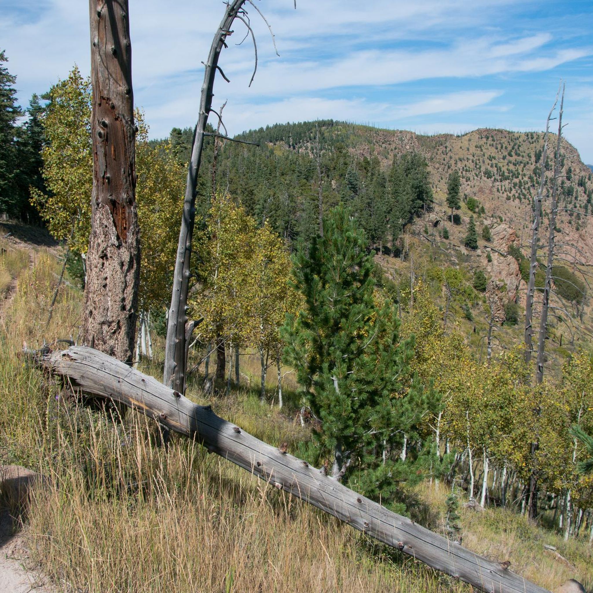
Elden Mountain (also known as Mount Elden) is Flagstaff's local mountain, towering over 2,000 feet above the city. Climbing this peak will take you through aspen groves, rocky outcrops, and the remains of a burned forest. The tower at the top is not to be climbed, but you are still exposed to 360 views from the peak and saddle.
1
0
Frequently Asked Questions
How many hiking trails are available around Fort Valley?
Fort Valley offers a diverse network of over 60 hiking trails. These routes traverse the forested mountains, deep valleys, and scenic areas within the George Washington National Forest, providing a wide range of options for explorers.
What is the general difficulty level of hiking trails in Fort Valley?
The trails around Fort Valley cater to various skill levels. You'll find a good mix, with approximately 26 easy routes perfect for beginners or casual strolls, 22 moderate trails for those seeking a bit more challenge, and 12 difficult routes for experienced hikers looking for strenuous ascents and longer distances.
What do other hikers say about the trails in Fort Valley?
The hiking experiences in Fort Valley are highly regarded by the komoot community, boasting an average rating of 4.3 stars from over 80 reviews. Hikers frequently praise the diverse terrain, the natural beauty of the George Washington National Forest, and the variety of routes available.
Are there any notable viewpoints or natural features along the trails?
While the Fort Valley area is known for its dense woodlands and scenic overlooks of the valley, the data provided also mentions highlights such as Elden Mountain Lookout Tower and Humphreys Peak, which offer expansive views. These points of interest provide excellent opportunities to appreciate the region's natural beauty.
Are there any family-friendly hiking options in Fort Valley?
Yes, Fort Valley has several family-friendly hiking options, particularly among its 26 easy routes. These trails often feature gentle elevation changes and accessible terrain, making them suitable for hikers of all ages. Routes like Buffalo Park Loop are generally easy and offer open views, perfect for a family outing.
Are dogs allowed on the hiking trails in Fort Valley?
Many trails within the George Washington National Forest, which encompasses Fort Valley, are dog-friendly. It's generally recommended to keep dogs on a leash to protect wildlife and ensure a pleasant experience for all hikers. Always check specific trail regulations before heading out.
Are there any circular or loop hikes available?
Yes, the Fort Valley area includes several circular routes. For example, the Walker Lake Lasso is an easy loop that takes you through forested areas with gentle elevation changes. Loop trails are great for experiencing varied scenery without retracing your steps.
What is the best time of year to go hiking in Fort Valley?
The best time to hike in Fort Valley generally spans from spring through fall. Spring brings lush greenery and blooming wildflowers, while autumn offers spectacular fall foliage. Summer is also popular, though trails can be warmer. Winter hiking is possible but requires appropriate gear for potentially icy or snowy conditions, especially at higher elevations.
Where can I find parking for the trailheads?
Parking for trails in Fort Valley is typically available at designated trailheads within the George Washington National Forest. Specific parking information can often be found on individual trail pages or by consulting local forest service maps. It's advisable to arrive early on busy days, especially weekends, to secure a spot.
Are there any challenging hikes for experienced hikers?
Absolutely. For experienced hikers seeking a challenge, Fort Valley offers 12 difficult routes. An example is the Fremont Saddle via Weatherford Trail, which is a longer trail leading through varied mountain terrain with significant elevation changes, often taking several hours to complete.
What kind of terrain can I expect on the trails?
Hiking in Fort Valley involves diverse terrain, primarily characterized by forested mountains and deep valleys. You can expect a mix of well-maintained paths, rocky sections, and dirt trails. Elevations vary from gentle valley floors to steeper climbs on Massanutten Mountain, offering a dynamic hiking experience.
Are there any less crowded hiking options in the area?
While popular trails can see more visitors, the George Washington National Forest is vast, offering many opportunities for solitude. To find less crowded options, consider hiking during weekdays, early mornings, or exploring some of the lesser-known trails away from the main recreation areas. The sheer number of routes (over 60) means there's always a quieter path to discover.
Most popular attractions around Fort Valley

Get inspired with the komoot mobile app


Explore more
Browse the best Hikes in other regions.
