The best walks and hikes around Dam Birkungen
4.6
(1633)
6,021
hikers
635
hikes
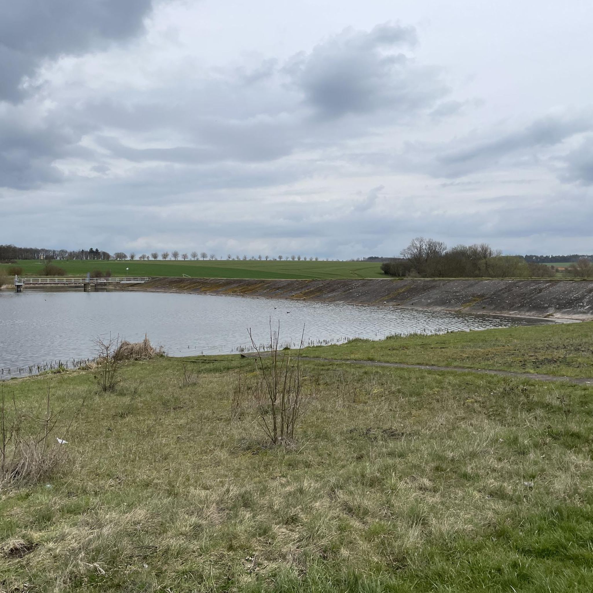
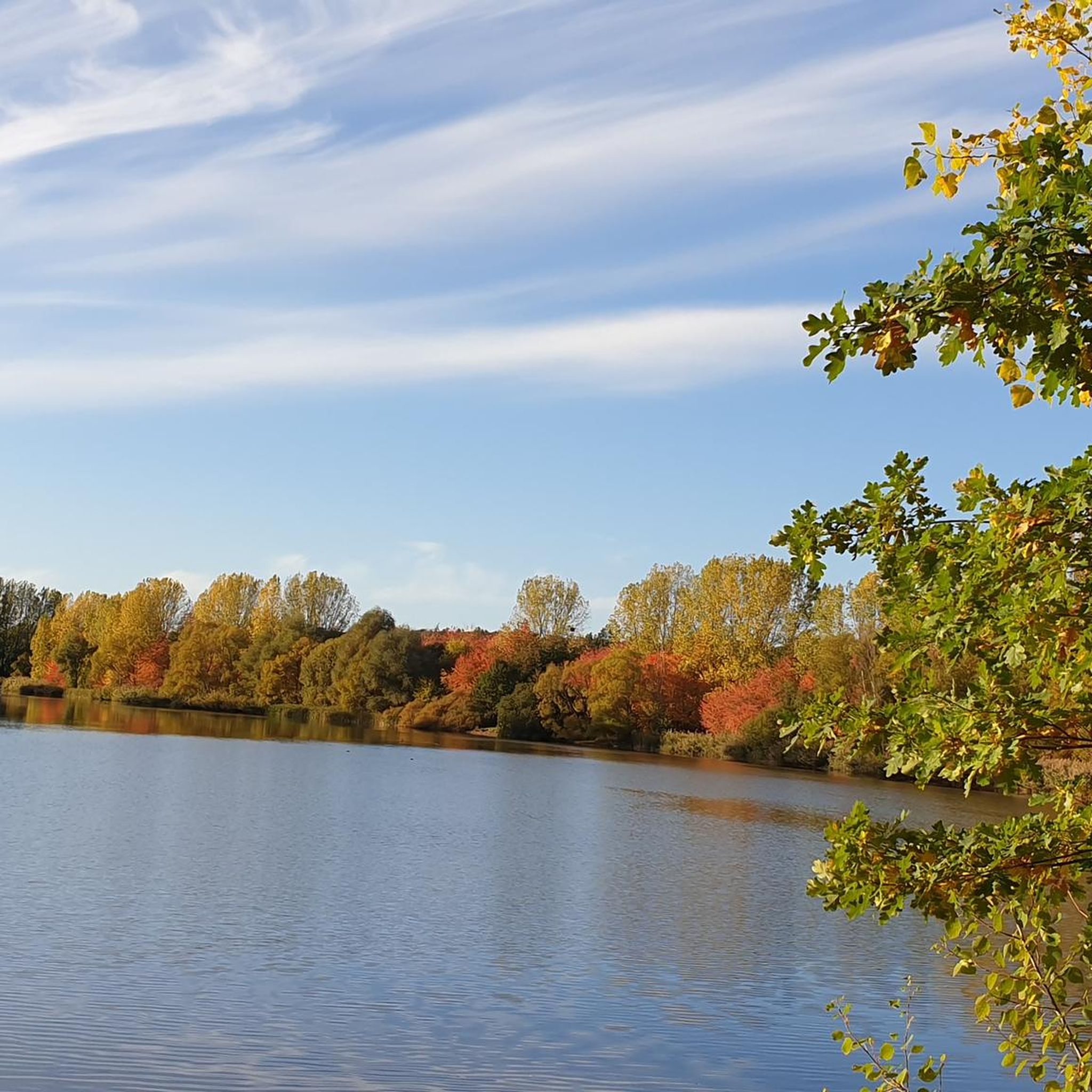
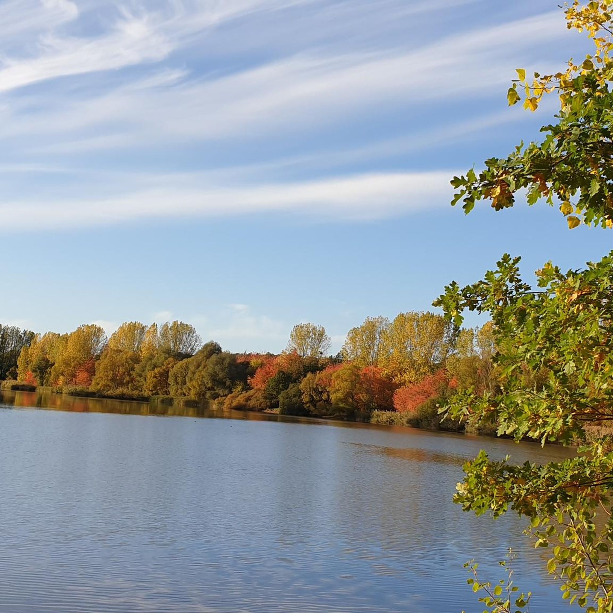
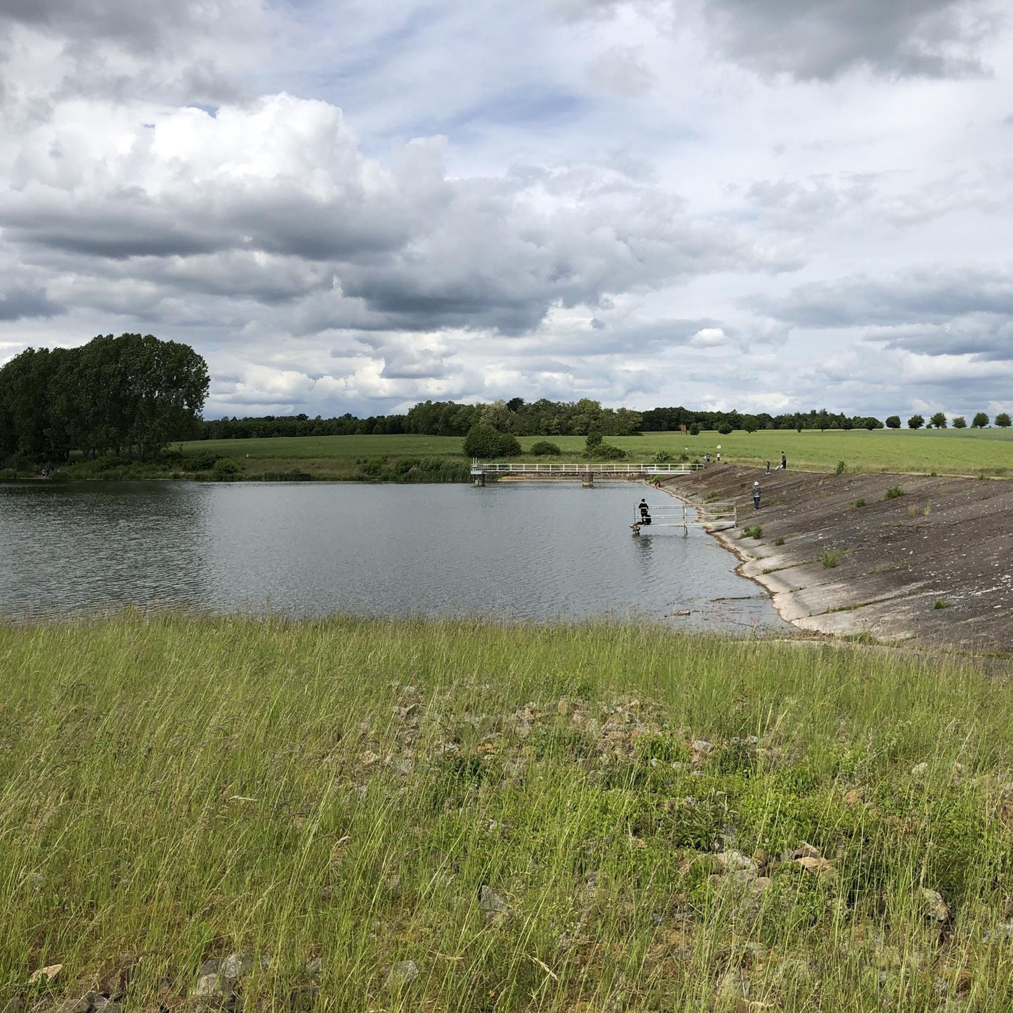
Hiking around Dam Birkungen offers a diverse landscape centered around the Birkunger Reservoir. The region features green meadows, extensive forest areas, and the calm waters of the 35-hectare reservoir. The terrain includes undulating paths with roots, providing varied experiences without significant inclines or declines. This area is characterized by its natural beauty, providing a serene backdrop for outdoor activities.
Best hiking trails around Dam Birkungen
- The most popular hiking route is Birkunger Reservoir – Birkunger Reservoir loop from Birkungen,…
Last updated: July 5, 2026
4.3
(12)
42
hikers
13.3km
03:31
120m
120m
Moderate hike. Good fitness required. Easily-accessible paths. Suitable for all skill levels.
5.0
(1)
4
hikers
Easy hike. Great for any fitness level. Easily-accessible paths. Suitable for all skill levels.

Sign up for free
6
hikers
Easy hike. Great for any fitness level. Easily-accessible paths. Suitable for all skill levels.
4.0
(7)
24
hikers
6.72km
01:44
40m
40m
Easy hike. Great for any fitness level. Easily-accessible paths. Suitable for all skill levels.
4.5
(6)
15
hikers
7.46km
02:01
110m
110m
Moderate hike. Good fitness required. Easily-accessible paths. Suitable for all skill levels.
Get access to more routes and recommendations from other explorers.
Sign up for free
Already have an account?
Our route recommendations are based on thousands of hikes, rides, and runs completed by other people on komoot.
Start today with a free account
Your next adventure awaits.
Login or Signup

Tips from the Community

It invites you to take a short break.
0
0

It is always a pleasure to experience these animals in nature.
1
0
There is a huge parking lot behind the building.
1
0
One of two free parking spaces along the dam.
0
0
Very well maintained seating area to take a breather and rest.
0
0
At the end of the tour, there was another feast for the eyes: two swans.
0
0
Another parking space is available!
0
0

The reservoir was originally created to supply cooling water to a cement plant in the Obereichsfeld! In the end, this did not happen and so it has become a leisure paradise 🐟 🥾 👍
2
1
Frequently Asked Questions
How many hiking trails are available around Dam Birkungen?
There are over 650 hiking routes around Dam Birkungen listed on komoot. These include a wide variety of options, with more than 350 easy trails, 280 moderate routes, and a few more challenging treks for experienced hikers.
What kind of terrain can I expect on the hiking trails around Dam Birkungen?
The terrain around Dam Birkungen is diverse, featuring green meadows, extensive forest areas, and paths along the calm waters of the 35-hectare Birkunger Reservoir. Many trails, like the Stausee Birkungen Trail, are known for their natural, undulating surfaces with roots, offering a mildly challenging experience without significant inclines or declines.
Are there any circular hiking routes around Dam Birkungen?
Yes, circular routes are a prominent feature of hiking around Dam Birkungen. The most popular option is the Birkunger Reservoir – Birkunger Reservoir loop from Birkungen, which is 13.3 km long and offers continuous views of the lake. Another excellent choice is the Birkungen Reservoir – Stausee Birxungen Parking Area loop from Birkungen, an easy 7.4 km path perfect for a shorter outing.
What are the best trails for families or beginners around Dam Birkungen?
For families and beginners, the region offers many easy trails. A great option is the Birkungen Reservoir – Stausee Birxungen Parking Area loop from Birkungen, an easy 7.4 km path that provides a gentle walk around the reservoir. Another short and easy route is the Picnic Shelter by the Lake – Birkungen Reservoir loop from Birkungen, which is just under 4 km.
What natural features or landmarks can I see while hiking near Dam Birkungen?
The primary natural feature is the serene Birkunger Reservoir itself, which provides picturesque views. The surrounding area also features green meadows and extensive forest areas. Historically, you can find the remains of Birkenstein Castle and the former Cistercian monastery of Reifenstein. A notable spiritual landmark is the 1748 Way of the Cross, leading to a chapel built in 1750.
Is Dam Birkungen suitable for dog-friendly hikes?
Yes, Dam Birkungen is generally suitable for dog-friendly hikes. The diverse trails through meadows and forests, and along the reservoir, offer plenty of space for dogs to enjoy. Always remember to keep your dog on a leash where required and clean up after them to preserve the natural environment for everyone.
What do other hikers say about the trails around Dam Birkungen?
The hiking trails around Dam Birkungen are highly regarded by the komoot community, with an average rating of 4.6 stars from over 1,500 reviews. Hikers often praise the continuous views of the reservoir, the varied landscapes, and the well-maintained paths that cater to different fitness levels.
Are there any viewpoints or scenic spots along the trails?
Many trails around Dam Birkungen offer excellent viewpoints, particularly those that follow the shoreline of the Birkunger Reservoir. The circular path around the lake is especially known for its beautiful views, often featuring benches where you can rest and enjoy the scenery. The mix of water, meadows, and forests provides numerous picturesque spots.
What is the best time of year to go hiking in Dam Birkungen?
Dam Birkungen offers enjoyable hiking experiences throughout much of the year. Spring brings lush greenery and blooming flora, while autumn showcases vibrant fall colors around the reservoir. Summer is ideal for longer days and warmer weather, though it can be busier. Winter hiking is also possible, with the landscape taking on a tranquil, frosty beauty, but always check local conditions.
Are there any cafes or places to eat near the hiking trails?
While the immediate area around the reservoir is primarily natural, the nearby town of Birkungen offers recreational opportunities. The city of Leinefelde-Worbis has future plans to enhance tourism infrastructure, including proposals for restaurants near the lake. For current options, it's best to check local listings in Birkungen or Leinefelde-Worbis.
Is there parking available for hikers at Dam Birkungen?
Yes, there are parking options available for hikers. For example, the Birkungen Reservoir – Stausee Birxungen Parking Area loop from Birkungen indicates a parking area near the reservoir, making it convenient to start your hike. It's always a good idea to arrive early during peak times to secure a spot.
Can I reach Dam Birkungen by public transport for hiking?
While the region is primarily accessed by car, there are ongoing efforts to improve connectivity. The city of Leinefelde-Worbis has future plans for a new bike and footpath connecting the lake directly to Leinefelde, which could enhance public transport access. For current public transport options, it's advisable to check local bus schedules to Birkungen or nearby towns.
Most popular routes around Dam Birkungen
Most popular attractions around Dam Birkungen

Get inspired with the komoot mobile app


Explore more
Browse the best Hikes in other regions.
