Robert T. Stafford White Rocks National Recreation Area
Robert T. Stafford White Rocks National Recreation Area
The best running trails in Robert T. Stafford White Rocks National Recreation Area
27
runners
6
runs
Jogging in Robert T. Stafford White Rocks National Recreation Area offers access to a diverse landscape within Vermont's Green Mountain National Forest. The area features an extensive network of trails, including a section of the Appalachian Trail, providing varied terrain from gentle paths to challenging ascents. Runners can explore wetlands, dense forests, and unique geological formations such as glacier-scoured cliffs and quartzite rockslides. This region provides a range of running experiences across its rugged wilderness and natural features.
Best jogging routes in Robert T. Stafford White Rocks National Recreation Area
- The most popular jogging route is Okemo Mountain Fire Tower View loop from Healdville, a 5.9 miles (9.5 km) trail that takes 1 hour 26 minutes to complete, offering significant elevation gain and panoramic views.
- Another top favourite among local runners is Running loop from Manley-Lefevre House, a moderate 6.4 miles (10.3 km) path winding through varied forest landscapes with minimal elevation change.
- Local runners also love the Griffith Lake – Peru Peak loop from Styles Peak, a 9.7 miles (15.6 km) trail leading through wilderness areas and past serene lakes, often completed in about 2 hours 2 minutes.
- Jogging in Robert T. Stafford White Rocks National Recreation Area is defined by rugged wilderness, striking geological formations, and tranquil water bodies. The extensive trail network offers options for different ability levels, from moderate paths to difficult ascents.
- The guide includes highly-rated routes that showcase the best of the region's landscape. More than 20 runners have used komoot to explore Robert T. Stafford White Rocks National Recreation Area's varied terrain.
Last updated: July 12, 2026
8
runners
9.53km
01:26
570m
570m
Hard run. Very good fitness required. Mostly paved surfaces. Suitable for all skill levels.
6
runners
15.6km
02:02
460m
460m
Hard run. Very good fitness required. Mostly paved surfaces. Suitable for all skill levels.

Sign up for free
3
runners
10.3km
01:15
240m
240m
Moderate run. Good fitness required. Mostly accessible paths. Some sure footedness required.
3
runners
10.3km
01:04
50m
50m
Moderate run. Good fitness required. Mostly paved surfaces. Suitable for all skill levels.
3
runners
6.11km
00:41
80m
80m
Moderate run. Good fitness required. Mostly paved surfaces. Suitable for all skill levels.
2
runners
13.0km
01:46
430m
430m
Hard run. Very good fitness required. Sure-footedness, sturdy shoes and alpine experience required.
2
runners
16.3km
01:51
230m
230m
Hard run. Very good fitness required. Mostly paved surfaces. Suitable for all skill levels.
Our route recommendations are based on thousands of hikes, rides, and runs completed by other people on komoot.
Start today with a free account
Your next adventure awaits.
Login or Signup
Popular around Robert T. Stafford White Rocks National Recreation Area

Running Trails in Peru Peak Wilderness
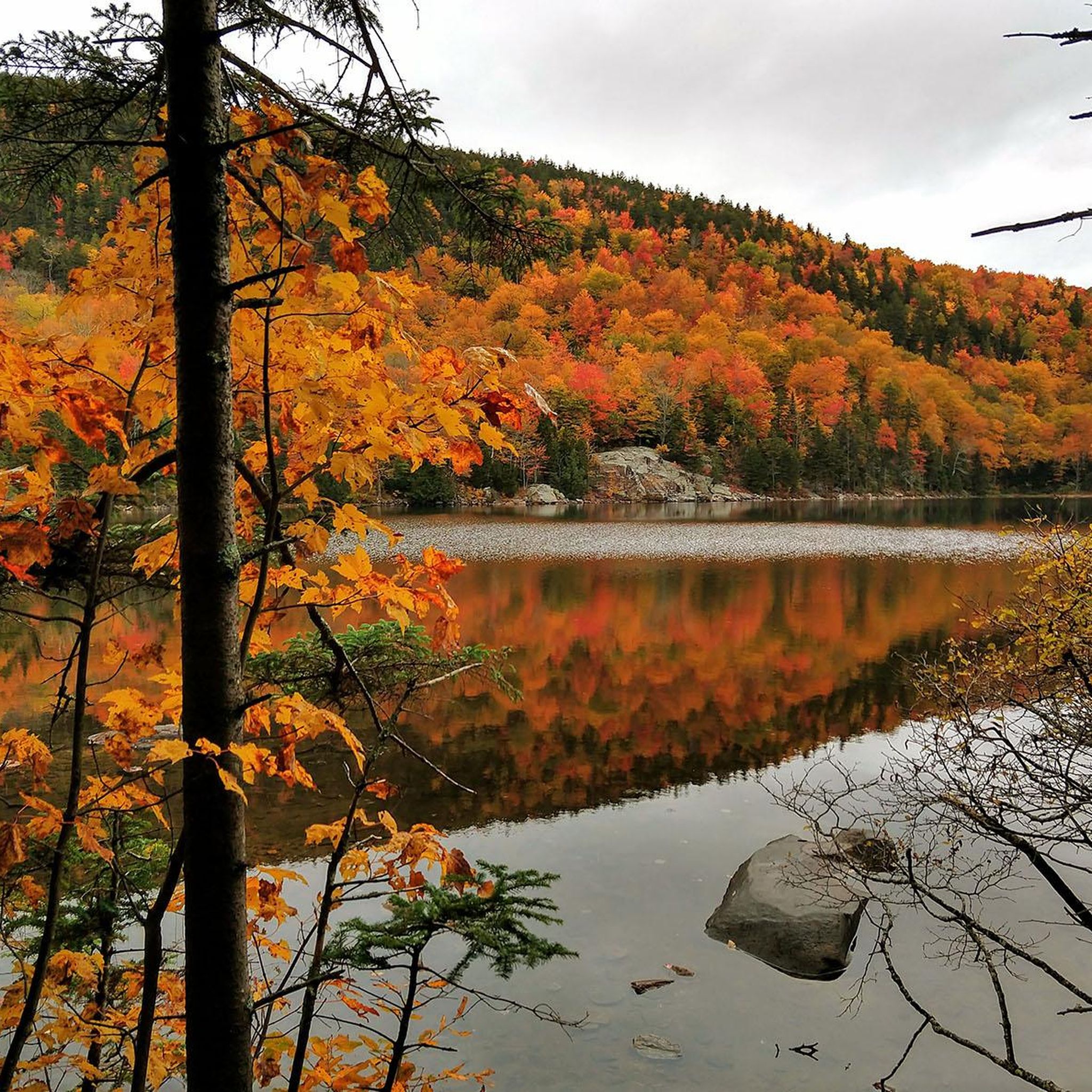
Hiking in Robert T. Stafford White Rocks National Recreation Area
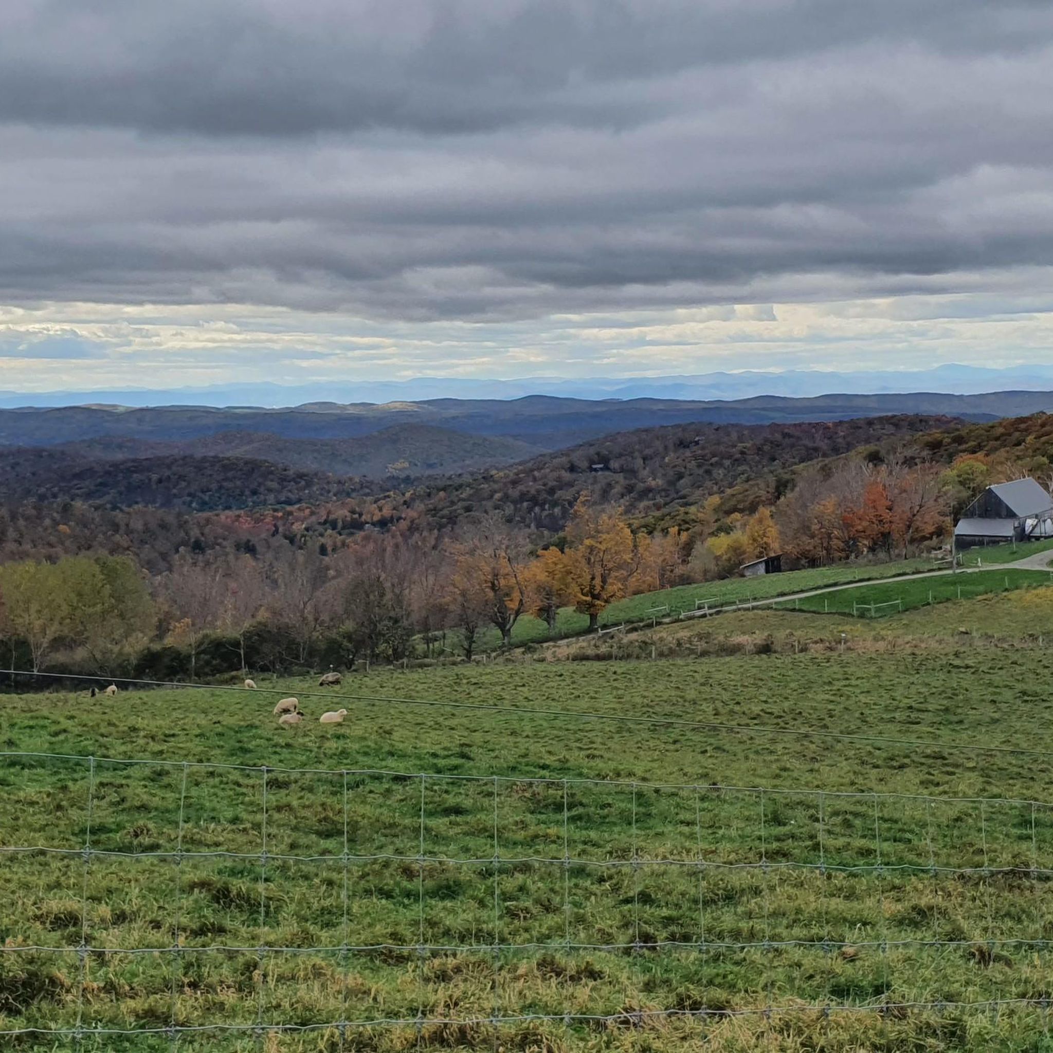
Road Cycling Routes in Robert T. Stafford White Rocks National Recreation Area
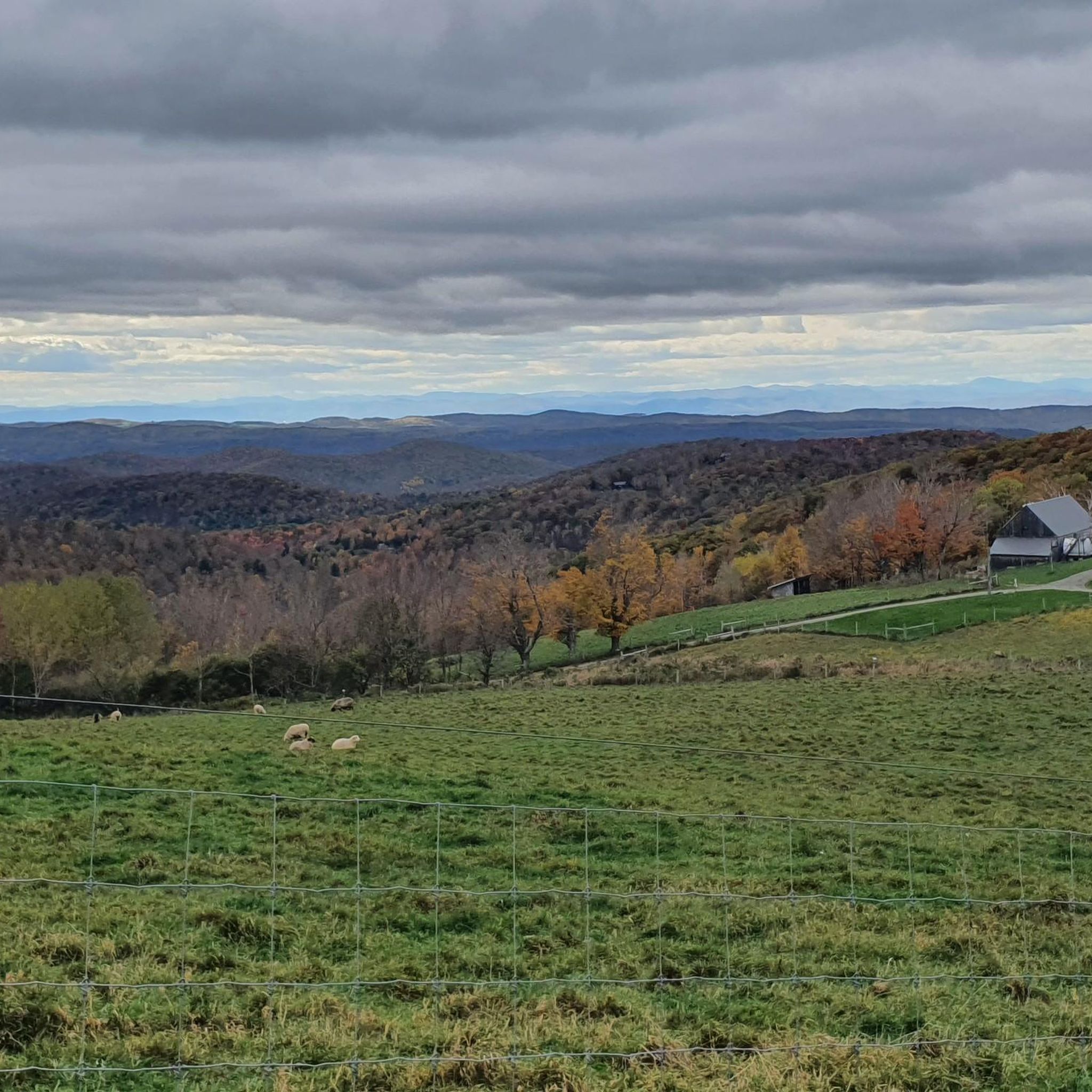
Cycling in Robert T. Stafford White Rocks National Recreation Area

Gravel biking in Robert T. Stafford White Rocks National Recreation Area
Tips from the Community

Just southwest of Bromley Mountain you get a great view through a break in the trees. This is a nice place to pause on your way up to the summit.
1
0

Hapgood Pond is a 12-acre pond that is 12 feet deep at its deepest point. This pond is within a recreation area of the same name. The recreation area has a campground, restrooms, picnic tables, and a swimming beach.
0
0

The trail to Griffith Lake leads through dense forest along a creek. Highly recommended.
0
0

The outlook cannot be fully understood at this point. The marked point is quite overgrown.
1
1

Frequently Asked Questions
What kind of terrain can I expect when running in Robert T. Stafford White Rocks National Recreation Area?
The area offers a diverse range of terrain, from gentle paths to challenging ascents. You'll find trails winding through wetlands and dense forests, with options suitable for various fitness levels. For instance, routes like Okemo Mountain Fire Tower View loop from Healdville feature significant elevation gain, while others like Running loop from Manley-Lefevre House have minimal elevation change, offering a more moderate experience.
Are there any easy or beginner-friendly running routes in the area?
While many trails offer a challenge, there are moderate options available. For a less strenuous run, consider routes with minimal elevation change. The region's diverse network includes paths that are more accessible for beginners, allowing you to enjoy the natural beauty without overly demanding climbs. For example, the Running loop from Belmont is a moderate option that provides a good introduction to the area's trails.
What are some notable natural features or viewpoints I can see while jogging?
The recreation area is rich in natural beauty. You can encounter glacier-scoured White Rocks Cliffs offering stunning vistas, the unique geological formation of Chaos Canyon, and the intriguing Ice Beds Trail where cool air drafts persist. Water features include cascading waterfalls on Bully Brook and serene lakes like Little Rock Pond and Griffith Lake, which you can pass on routes such as the Griffith Lake – Peru Peak loop from Styles Peak.
Are there any loop running trails in Robert T. Stafford White Rocks National Recreation Area?
Yes, several excellent loop running trails are available. Popular options include the Okemo Mountain Fire Tower View loop from Healdville, which offers panoramic views, and the Griffith Lake – Peru Peak loop from Styles Peak, leading through wilderness areas and past serene lakes. Another great choice is the Bromley Mountain Summit View – Viewpoint loop from Styles Peak.
What is the best time of year to go running in this region?
Late spring to early fall is generally considered the best season for running in the Robert T. Stafford White Rocks National Recreation Area. During this period, you'll experience mild summers and vibrant fall foliage, making for very pleasant conditions. While winter offers opportunities for snowshoeing and cross-country skiing, trail running is most enjoyable when the paths are clear of snow and ice.
Are dogs allowed on the running trails in Robert T. Stafford White Rocks National Recreation Area?
The Robert T. Stafford White Rocks National Recreation Area, being part of the Green Mountain National Forest, generally allows dogs on trails. However, it's always recommended to keep your dog on a leash and practice Leave No Trace principles, including packing out all waste. Specific regulations may apply in certain wilderness areas or developed facilities, so check local signage.
What kind of wildlife might I encounter on the running paths?
The recreation area encompasses the Peru Peak Wilderness and Big Branch Wilderness areas, providing a true wild forest experience. While running, you might observe diverse flora and fauna, including white-tailed deer, various bird species, and potentially even black bears or bobcats. Maintaining awareness of your surroundings and giving wildlife space is always recommended.
Are there any facilities like parking or picnic areas available near the running routes?
Yes, the area provides well-maintained facilities to enhance your outdoor experience. Developed recreation facilities include trailheads, and the White Rocks Picnic Area, which can serve as convenient starting points for your runs. Parking is typically available at these designated trailheads and recreation areas.
Can I access the running trails using public transport?
While the Robert T. Stafford White Rocks National Recreation Area is a wilderness area, public transport options directly to trailheads are limited. It is generally advisable to plan for personal vehicle access to reach the various starting points for running routes. Some local services might connect to nearby towns, but direct access to the more remote trailheads often requires a car.
Are there any running routes that pass by lakes or water features?
Yes, the region features serene water bodies that can be incorporated into your runs. The Griffith Lake – Peru Peak loop from Styles Peak, for example, leads through wilderness areas and past Griffith Lake. Additionally, trails starting from the White Rocks Picnic Area provide access to cascading waterfalls on Bully Brook, offering beautiful natural sights during your run.
How many running routes are featured in this guide for Robert T. Stafford White Rocks National Recreation Area?
This guide features 6 distinct running routes within the Robert T. Stafford White Rocks National Recreation Area. These routes offer a variety of distances, elevations, and difficulties, ensuring there's something for every runner, from moderate paths to more challenging ascents.
What is the longest running route mentioned in this guide?
The longest running route highlighted in this guide is the Hapgood Pond loop from Hapgood Pond Recreation Area, covering a distance of approximately 10.1 miles (16.3 km). This route offers a significant distance for those looking for a longer endurance run.
Most popular routes in Robert T. Stafford White Rocks National Recreation Area

Get inspired with the komoot mobile app


Didn’t find what you were looking for?
Check out more Running Trails & Routes throughout Robert T. Stafford White Rocks National Recreation Area below and find the perfect route in your destination.
