Robert T. Stafford White Rocks National Recreation Area
Robert T. Stafford White Rocks National Recreation Area
The best walks and hikes in Robert T. Stafford White Rocks National Recreation Area
5.0
(12)
209
hikers
10
hikes
Hiking in Robert T. Stafford White Rocks National Recreation Area offers diverse landscapes across approximately 36,400 acres within the Green Mountain National Forest. The region is characterized by prominent, glacier-scoured White Rocks Cliffs, extensive hardwood forests, and unique Ice Beds where ice persists into summer. A significant section of the Appalachian National Scenic Trail, coinciding with Vermont's Long Trail, traverses the area, providing access to various natural features including ponds and wilderness areas.
Best hiking trails in Robert T. Stafford White Rocks National Recreation Area
- The most popular hiking route is Little Rock Pond Trail, an easy 3.7 miles (5.9 km) trail that takes 1 hour 38 minutes to complete, leading to a scenic pond.
- Another top favourite among local hikers is Green Mountain, Long, Baker Peak, and Griffith Lake Trail Loop, a difficult 20.8 miles (33.5 km) path. This extensive loop traverses varied terrain including multiple peaks and lakes.
- Local hikers also love the Little Rock Pond and Green Mountain Loop, a 6.9 miles (11.2 km) trail connecting two prominent natural features, often completed in about 3 hours 19 minutes.
- Hiking in Robert T. Stafford White Rocks National Recreation Area is defined by glacier-scoured cliffs, extensive hardwood forests, and unique ice beds. The network offers options for various ability levels, from leisurely walks to challenging ascents.
- The routes in Robert T. Stafford White Rocks National Recreation Area are highly rated by the komoot community with an average score of 4.9 stars from over 14 reviews. More than 100 hikers have used komoot to explore Robert T. Stafford White Rocks National Recreation Area's varied terrain.
Last updated: October 11, 2026
5.0
(1)
2
hikers
5.89km
01:38
140m
30m
Embark on an easy hike along the Little Rock Pond Trail, a 3.7-mile (5.9 km) route that winds through the Green Mountain National Forest. You will gain 464 feet (142 metres) of elevation, making it a gentle ascent suitable for most. The trail guides you through mixed hardwood forests, often following and crossing the Little Black Brook. The highlight is Little Rock Pond itself, a pristine body of water surrounded by hills and large boulders, offering picturesque views. You can expect to complete this journey in about 1 hour and 37 minutes.
When planning your visit, be aware that designated tent sites and a shelter are available near Little Rock Pond if you wish to stay overnight. During warmer months, a caretaker from the Green Mountain Club is often present at the pond. If you plan to camp, there is a $5 per person, per night fee. This trail offers a straightforward outing, perfect for a leisurely day trip or a short overnight adventure.
This route is particularly notable as it forms part of both the famous Appalachian Trail and the Long Trail. As you hike, you might encounter thru-hikers making their way along these iconic long-distance paths. The western side of Little Rock Pond features a large rock vista, providing incredible viewpoints of the lake and the eastern mountains, making it a family-friendly destination.
33.5km
10:00
1,050m
1,050m
Embark on the Green Mountain, Long, Baker Peak, and Griffith Lake Trail Loop for a truly demanding hike through Vermont's Big Branch Wilderness. This difficult route covers 20.8 miles (33.5 km) and challenges you with a significant 3444 feet (1050 metres) of elevation gain, typically requiring about 10 hours to complete. You will experience everything from gentle paths on old carriage roads to steady climbs alongside brooks, culminating in steep sections and fun rock scrambles as you ascend towards Baker Peak. From the summit, you are rewarded with expansive panoramic views across the Great Valley of Vermont, where you might even spot the Adirondacks or Killington Peak on a clear day. The trail also leads you past the serene, high-elevation Griffith Lake, offering a remote feel and chances to observe wildlife near a large beaver pond. This journey promises a diverse and memorable outdoor adventure. You will find tenting areas and picnic spots at Griffith Lake if you plan to extend your stay. This loop combines sections of the historic Long Trail and Appalachian Trail, meaning you will encounter many intersections along the way. Be aware that blazes can be infrequent in certain sections, so carrying a paper map is highly recommended for navigation. This ensures you stay on track and make the most of your challenging day out. The route is a substantial undertaking, best suited for experienced hikers ready for a full day on the trails. This trail is notable for its combination of iconic long-distance routes and its passage through the Big Branch Wilderness, offering a deep immersion into Vermont's natural landscape. The remote feel around Griffith Lake and the potential for wildlife viewing, especially near the beaver pond, add unique character to your experience. It provides a comprehensive tour of the region's varied terrain, from forested paths to exposed peaks, making it a standout option for those seeking a rigorous and rewarding adventure.

1
hikers
2.36km
00:54
270m
0m
Embark on an easy hike up Styles Peak via the Long Trail, a route that takes you through dense forests of maple and birch. You will find plenty of shade as you navigate the terrain, which includes rocky and root-covered sections, with some muddy spots even as you approach the summit. This 1.5-mile (2.4 km) trail involves an 870 feet (265 metres) elevation gain, making for a quick yet rewarding ascent. Expect panoramic views from Styles Peak, where you can see Vermont's rolling hills stretching out below. The entire hike typically takes around 54 minutes to complete.
You can access the Long Trail for Styles Peak from various points, including trailheads located near Mad Tom Notch Road. Be prepared for potentially muddy sections on the path, especially after rainfall, as the Long Trail is known for its rugged conditions. The best time to visit for mild temperatures and vibrant scenery is from late spring through early fall, when the fall foliage is particularly striking.
This section of the Long Trail offers a classic Green Mountain experience within the Green Mountain National Forest. The trail's consistent climb through varied forest types leads to a rewarding summit vista, showcasing the expansive natural beauty of Vermont. It is a notable option for those seeking a relatively short but impactful outdoor adventure in the region.
3.77km
01:13
250m
10m
Embark on an easy hike from Mad Tom Gap to Bromley Mountain, a 2.3-mile (3.8 km) route that guides you through dense northern hardwood forests. You will gain 828 feet (252 metres) in elevation, with an estimated duration of 1 hour and 13 minutes. The trail offers glimpses of the Green Mountains as you ascend, culminating in the Bromley Mountain Summit View, which provides expansive panoramic vistas of surrounding peaks like Stratton Mountain and Mount Equinox.
When planning your visit, be aware that conditions can change quickly; expect potential cold wind and sudden weather shifts, especially once you are above the treeline. The trail is clearly marked with white blazes, making navigation straightforward for hikers. You will generally find parking available at Mad Tom Gap, providing convenient access to the trailhead for your adventure.
This particular section of the Long Trail is significant as it also coincides with the Appalachian Trail, offering a unique experience on two iconic routes. At the summit, you can further enhance your views from a 40-foot observation tower, adding another dimension to your exploration of the Green Mountain National Forest.
515km
168:28
21,190m
21,240m
Hike the difficult 320.2-mile Long Trail through Vermont's Green Mountain National Forest, gaining 69530 feet in elevation.
5.0
(2)
20
hikers
11.2km
03:19
320m
330m
Hike the moderate 6.9-mile Little Rock Pond and Green Mountain Loop for scenic pond views, mountain ridges, and diverse terrain.
5.0
(2)
13
hikers
6.67km
01:52
130m
130m
Hike an easy 4.1-mile section of the Appalachian and Long Trails to Little Rock Pond, featuring clear waters and mountain views.
11
hikers
7.54km
02:16
250m
250m
Hike the Appalachian and Long Trail to Bromley Mountain for panoramic Green Mountain views from the summit observation tower.
4
hikers
15.6km
04:40
460m
460m
Moderate hike. Good fitness required. Easily-accessible paths. Suitable for all skill levels.
8
hikers
25.1km
07:50
840m
850m
Hard hike. Very good fitness required. Mostly accessible paths. Sure-footedness required.
Our route recommendations are based on thousands of hikes, rides, and runs completed by other people on komoot.
Start today with a free account
Your next adventure awaits.
Popular around Robert T. Stafford White Rocks National Recreation Area

Hiking in Peru Peak Wilderness
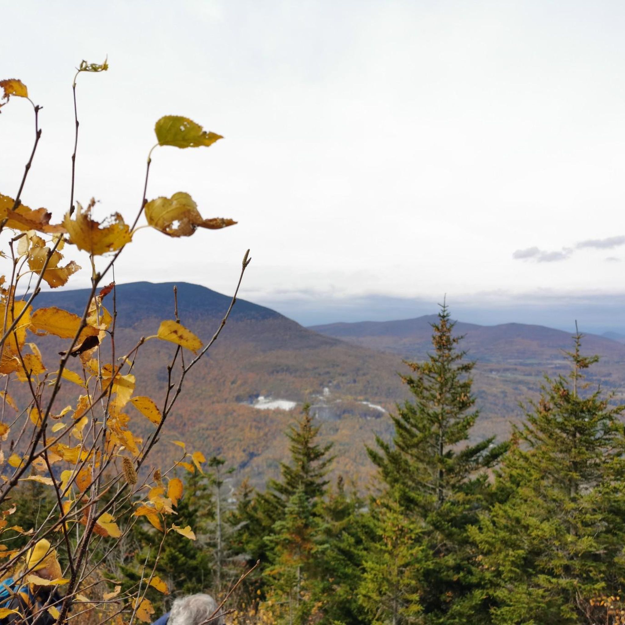
Hiking in Big Branch Wilderness
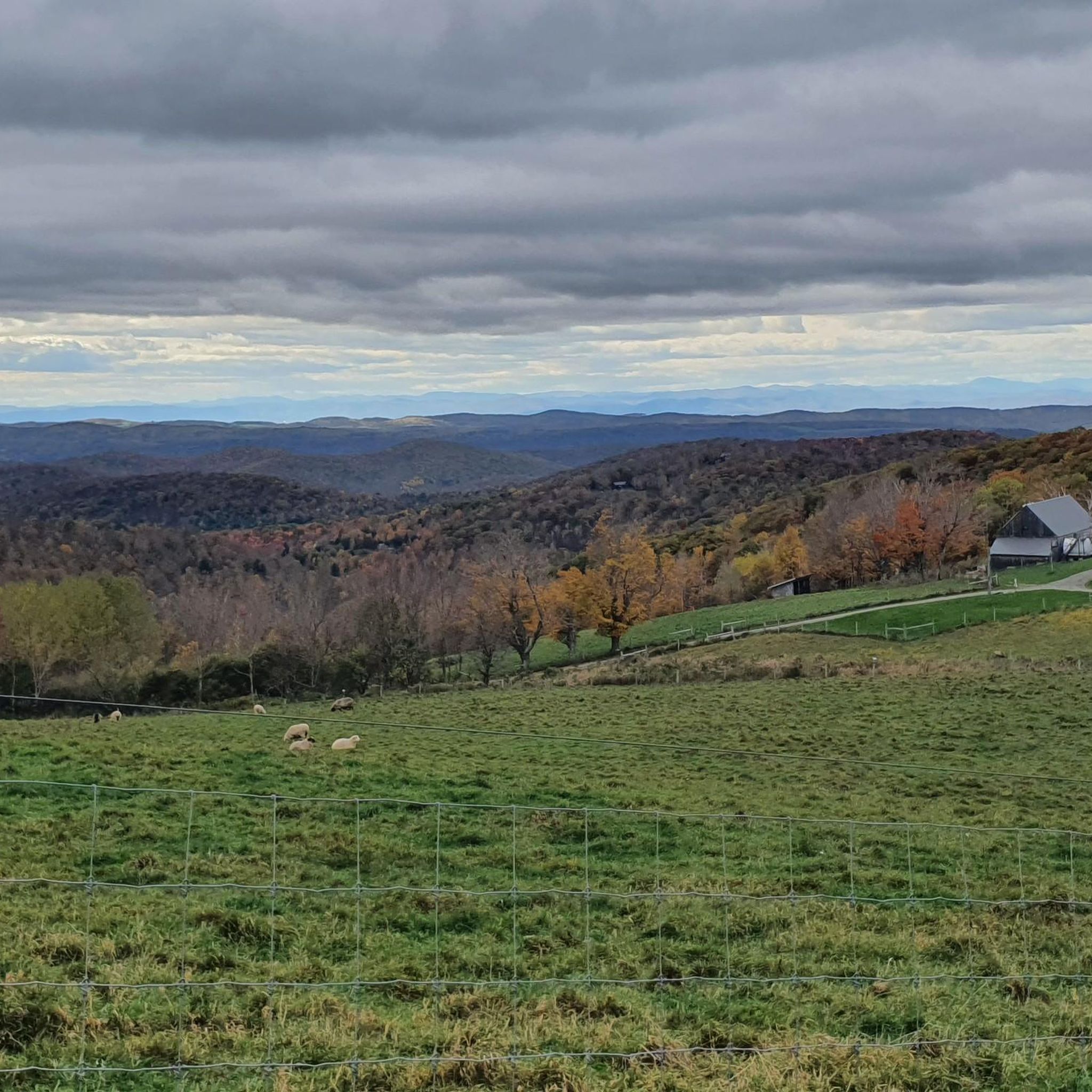
Road Cycling Routes in Robert T. Stafford White Rocks National Recreation Area

Gravel biking in Robert T. Stafford White Rocks National Recreation Area
Cycling in Robert T. Stafford White Rocks National Recreation Area

Running Trails in Robert T. Stafford White Rocks National Recreation Area
Tips from the Community

Stratton Mountain is one of the most iconic peaks on the Long Trail, but not for its height, but rather for its historical significance. It was here in 1909 that James P. Taylor first imagined a “footpath in the wilderness,” which eventually became the Long Trail. The summit is forested, but a restored fire tower (that you can climb!) offers expansive 360-degree views of southern Vermont and the surrounding peaks. Today, Stratton is also home to a major ski resort, but the Long Trail bypasses the commercial slopes, staying on a quieter, wooded path. A nearby shelter, Stratton Pond Shelter, provides a peaceful overnight spot, just a short hike from the summit. This is a pretty built-up shelter (especially in comparison to the more common, simple three-sided lean-tos) so it's worth checking out even if you're not spending the night.
1
0
Just southwest of Bromley Mountain you get a great view through a break in the trees. This is a nice place to pause on your way up to the summit.
1
0
The Long Trail, the oldest long-distance hiking trail in the United States, begins at the Massachusetts–Vermont border near Williamstown, MA. This southern terminus is marked by a large wooden sign and lies at the junction where the Appalachian Trail (AT) continues and the Long Trail (LT) begins. The first 105 miles of the LT coincide with the AT before the two trails split at Maine Junction near Killington, VT. There are two primary approaches to reach the southern terminus: Via the Appalachian Trail from North Adams, MA: This route is approximately 3.8 miles and begins at Route 2 in North Adams, or via the Pine Cobble Trail from Williamstown, MA: This 3.3-mile trail starts at Pine Cobble Road in Williamstown and offers a scenic ascent to the LT's starting point. Both approaches take hikers to the VT/MA border, where the Long Trail officially begins its 272-mile journey northward through Vermont's Green Mountains to the Canadian border.
0
0

The summit and ridgeline here offer great views over the surrounding mountains. The Green Mountain Trail has blue blazes; when you start seeing white blazes again, you'll know you're back on the Appalachian Trail/Long Trail.
1
0
This little brook is stocked with trout. You'll find lots of day hikers here, along with casual backpackers and thru-hikers on the Appalachian Trial and the overlapping Long Trail. There is a shelter and some tent platforms on the east side of the trail; all are first-come, first-serve.
1
0
This petite peak offers great views out over the Manchester Valley, just a short distance off the Appalachian Trail.
1
0
This modest summit, just a couple hundred yards off the Appalachian Trail, offers some of the finest views you'll find of the Manchester Valley.
1
0
The top of Stratton Mountain supports a fire lookout tower that is on the National Register of Historic Places. As you might imagine, the views from up here are great.
1
1
Frequently Asked Questions
How many hiking trails are available in Robert T. Stafford White Rocks National Recreation Area?
The Robert T. Stafford White Rocks National Recreation Area offers a diverse network of over 10 hiking trails. These routes cater to various skill levels, from easy strolls to challenging ascents, ensuring there's something for every hiker.
What is the general difficulty level of hiking trails in the Robert T. Stafford White Rocks National Recreation Area?
The trails in the recreation area range from easy to difficult. You'll find 5 easy routes, 3 moderate routes, and 3 difficult routes. For instance, the Little Rock Pond Trail is an easy option, while the Green Mountain, Long, Baker Peak, and Griffith Lake Trail Loop presents a more challenging experience.
Are there easy, family-friendly hiking options in Robert T. Stafford White Rocks National Recreation Area?
Yes, there are several easy and family-friendly trails. The Little Rock Pond Trail is a popular easy route, leading to a scenic pond. Another accessible option is Mad Tom Gap to Bromley Mountain via Long Trail, which offers a shorter, less strenuous hike.
What natural features can I expect to see while hiking in Robert T. Stafford White Rocks National Recreation Area?
Hikers can explore a variety of unique natural features. These include the prominent glacier-scoured White Rocks Cliffs, the fascinating Ice Beds where ice persists into summer, and the impressive Bully Brook Cascades. The area also features extensive hardwood forests, wetlands, and picturesque ponds like Little Rock Pond and Griffith Lake.
Where can I find waterfalls in the Robert T. Stafford White Rocks National Recreation Area?
You can find several impressive waterfalls along Bully Brook. These are particularly beautiful during the fall foliage season. A short walk from the White Rocks Day Use Area will lead you to the Bully Brook Cascades.
Can I visit the unique Ice Beds in the recreation area?
Yes, the Ice Beds are a unique natural phenomenon worth visiting. Located at the base of talus piles, ice persists deep within rock crevices well into the summer. The Ice Beds Trail leads to a viewpoint of this fascinating area, offering cool drafts and a slow stream of cold water.
Are there any trails that offer scenic views of the White Rocks Cliffs?
The White Rocks Cliffs themselves are a prominent feature, offering breathtaking views, including the Adirondack and Taconic Mountains from certain vantage points. While there isn't a specific 'White Rocks Cliffs Trail' listed, many routes in the area provide opportunities to see these impressive geological formations.
Are there any circular or loop trails available for hiking?
Yes, the recreation area offers several loop trails. A notable option is the Little Rock Pond and Green Mountain Loop, which connects two prominent natural features. For a more challenging experience, consider the Green Mountain, Long, Baker Peak, and Griffith Lake Trail Loop.
Is the Robert T. Stafford White Rocks National Recreation Area dog-friendly?
Generally, dogs are welcome in the Green Mountain National Forest, which encompasses the White Rocks National Recreation Area. However, it's always best to keep dogs on a leash and follow Leave No Trace principles, including packing out all waste. Specific trail regulations might vary, so check local signage.
What is the best time of year to go hiking in Robert T. Stafford White Rocks National Recreation Area?
The varied climate makes it appealing throughout the year. Mild summers are excellent for hiking, while the vibrant autumns are particularly popular for viewing the colorful foliage. Even winter offers opportunities for snowshoeing and cross-country skiing on maintained trails.
What do other hikers enjoy the most about hiking in Robert T. Stafford White Rocks National Recreation Area?
The area is highly rated by the komoot community, with an average score of 4.9 stars from over 14 reviews. Reviewers often praise the diverse landscapes, the well-maintained trails, and the stunning natural features like the White Rocks Cliffs and the serene ponds. The opportunity to hike sections of the Appalachian and Long Trails is also a significant draw.
Are there opportunities for multi-day or overnight hikes?
Yes, the recreation area includes a 30-mile section of the Appalachian National Scenic Trail, which often coincides with Vermont's Long Trail. These long-distance trails offer opportunities for multi-day hikes, with overnight shelter facilities available at locations like Little Rock Pond and Griffith Lake.
Is parking available at the trailheads?
Yes, the Robert T. Stafford White Rocks National Recreation Area provides essential amenities including parking lots for visitor convenience and safety. Specific parking availability can vary by trailhead, so it's advisable to check maps or local information for your chosen starting point.
Most popular routes in Robert T. Stafford White Rocks National Recreation Area

Get inspired with the komoot mobile app


Didn’t find what you were looking for?
Check out more Hikes throughout Robert T. Stafford White Rocks National Recreation Area below and find the perfect route in your destination.
Explore more
Browse the best Hikes in other regions.
