The best road cycling routes in Chippewa National Forest
4.8
(6)
103
riders
8
rides
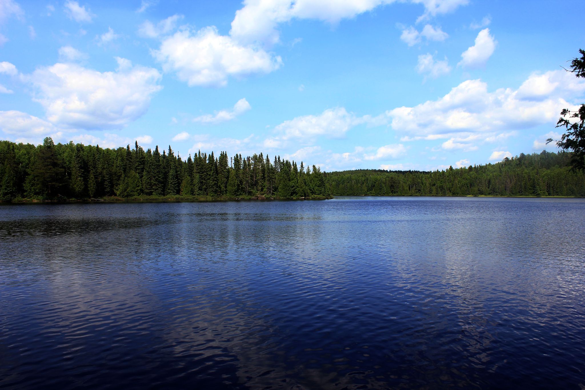
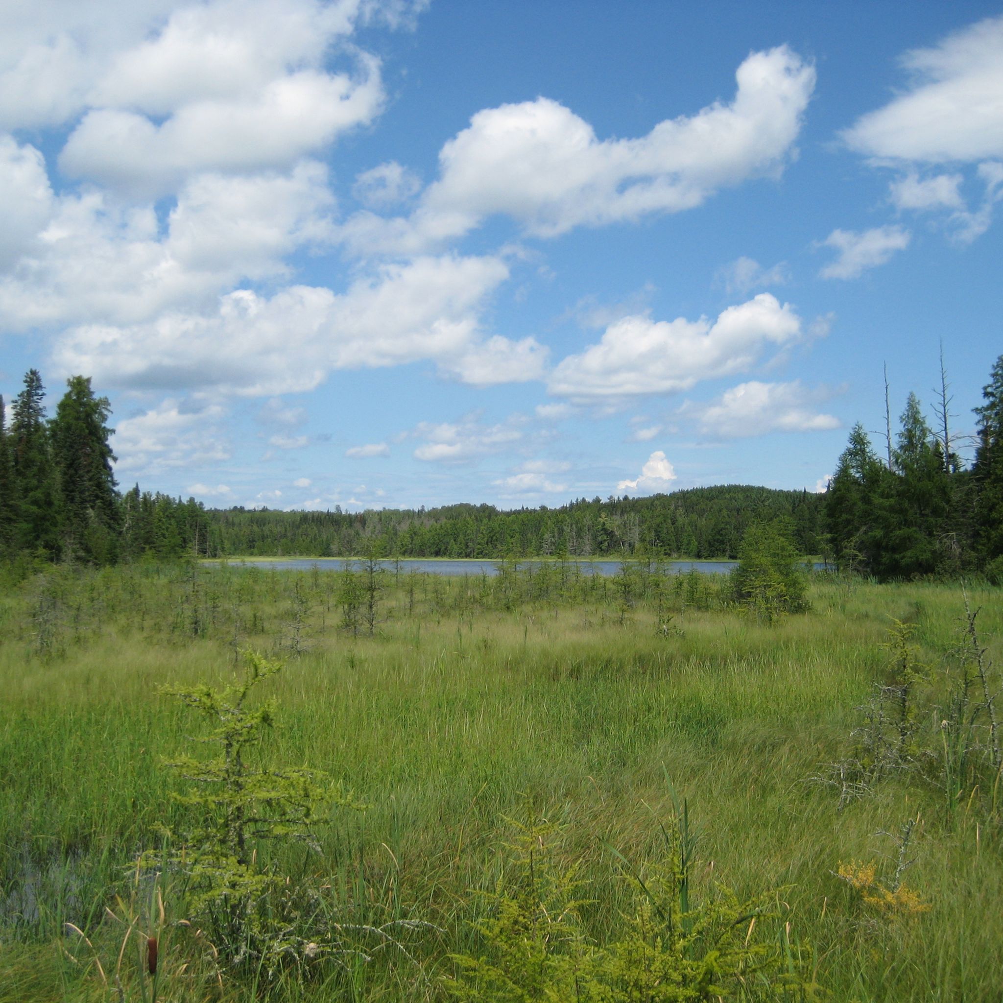
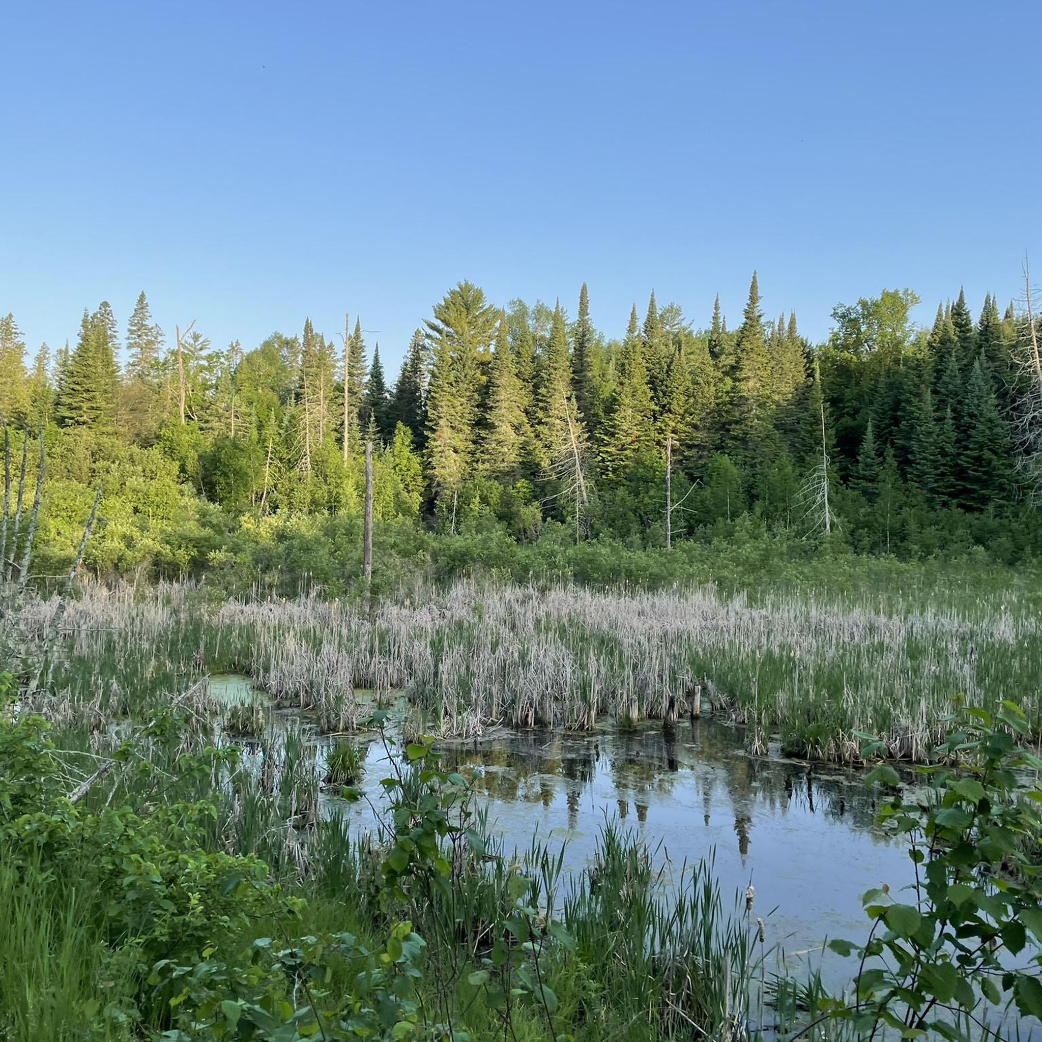
Road cycling in Chippewa National Forest offers a diverse landscape characterized by extensive forests, numerous lakes, and winding rivers. The region is situated at the convergence of coniferous and hardwood forests, providing varied scenery for cyclists. While generally featuring rolling terrain, some routes include moderate elevation changes, with hills under 200 meters. Paved trails and scenic routes are available, often following quiet roads through pines, birch, and aspen.
Best road cycling routes in Chippewa National Forest
- The most popular road cycling route is Walker loop from Kabekona River, a 29.96 miles (48.2 km) trail that takes about 2 hours 14 minutes to complete. This moderate route features varied forest scenery and a total ascent of 973 feet (297 meters).
- Another top favourite among local road cyclists is Walker – Nevis Tiger Muskie Pavilion loop from Walker, a moderate 32.80 miles (52.8 km) path. This route offers a mix of open roads and forested sections, with an elevation gain of 577 feet (176 meters).
- Local road cyclists also love the Goose Lake Trailhead loop from Girl Lake, a 22.20 miles (35.7 km) trail leading through forested areas and past lakes, often completed in about 2 hours 7 minutes.
- Road cycling in Chippewa National Forest is defined by abundant lakes, diverse forest ecosystems, and rolling terrain. The network offers options for different ability levels, from easy loops to moderate challenges.
- The routes in Chippewa National Forest are highly rated by the komoot community with an average score of 5.0 stars from over 3 reviews. More than 75 road cyclists have used komoot to explore Chippewa National Forest's varied terrain.
Last updated: June 1, 2026
5.0
(2)
25
riders
48.2km
02:15
300m
300m
Moderate road ride. Good fitness required. Mostly well-paved surfaces and easy to ride.
13
riders
32.3km
01:19
80m
80m
Easy road ride. Great for any fitness level. Mostly well-paved surfaces and easy to ride.

Sign up for free
11
riders
53.3km
02:06
180m
180m
Moderate road ride. Good fitness required. Mostly well-paved surfaces and easy to ride.
3
riders
35.7km
02:08
160m
160m
Moderate road ride. Good fitness required. Some segments of this route may be unpaved and difficult to ride.
4.0
(1)
6
riders
20.5km
01:09
140m
140m
Easy road ride. Great for any fitness level. Mostly well-paved surfaces and easy to ride.
Get access to more routes and recommendations from other explorers.
Sign up for free
Already have an account?
Our route recommendations are based on thousands of hikes, rides, and runs completed by other people on komoot.
Start today with a free account
Your next adventure awaits.
Login or Signup
Popular around Chippewa National Forest
Other adventures in Chippewa National Forest

Tips from the Community

The Mesabi Trail hugs a segment of the Prairie River, boasting views of red iron-rich hills around it. The river looks great today, considering that in 1991, Enbridge Line 3 pipeline burst and resulted in the largest inland oil spill in U.S. history, releasing about 1.7 million gallons of oil into the area, including the Prairie River.
0
0
The western terminus of the Mesabi Trail in Grand Rapids marks the beginning of a popular paved multi-use path. From here, the trail stretches northeast for over 160 miles, eventually reaching the town of Ely near the Boundary Waters.
1
0

After the railway was built in the area, Patrick McGarry founded Walker in 1896. Walker sits on the edge of Leech Lake. It is the third largest lake in Minnesota. The Leech Lake Indian Reservation is near the city. The population consists of less than 1,000 inhabitants, but has hotels, shops and restaurants.
0
0

This is the western terminus of the Mesabi Trail that eventually. will run all the way from Grand Rapids to Ely.
4
0

The Goose Lake trail system is best experienced in the fall, when the leaves are in full color. In the winter the trails make for excellent cross country skiing. If you visit in the summer be sure to bring bug repellent and watch out for ticks! The hike to Goose Lake is beautiful any time of year.
0
0

This is a picnic shelter where you can find water, toilet, facilities and some nearby shops for supplies, right along the trail.
0
0
Open Memorial Day to Labor Day noon to 4pm, when volunteers are available. It's right off the trail, but since it faces the road it can be easy to miss - even with the giant Paul Bunyan in front of it.
0
0
The pavilion has water, flush toilets, picnic tables, and a 30 foot long muskie commissioned by the chamber of commerce in 1950.
0
0
Frequently Asked Questions
How many road cycling routes are available in Chippewa National Forest?
There are over 9 road cycling routes available in Chippewa National Forest, offering a diverse range of experiences for cyclists. These routes are highly rated by the komoot community, with an average score of 5.0 stars.
What kind of terrain and scenery can I expect on road cycling routes in Chippewa National Forest?
The region features a diverse landscape with extensive forests, numerous lakes, and winding rivers. You'll cycle through varied scenery, including pines, birch, oak, maple, and aspen. While generally featuring rolling terrain, some routes include moderate elevation changes, with hills under 200 meters. The forest is situated at the convergence of coniferous and hardwood forests, offering a rich and varied ecosystem.
Are there any easy or family-friendly road cycling routes in Chippewa National Forest?
Yes, there are routes suitable for various ability levels. For an easier ride, consider the Roadbike loop from Kabekona River, which is 32.26 km long with minimal elevation gain, making it a good option for families or those seeking a relaxed ride.
What are some notable natural features or landmarks I might see while road cycling?
Chippewa National Forest is rich in natural beauty. You'll encounter over 1,300 lakes, including parts of Leech Lake, Cass Lake, and Lake Winnibigoshish. Keep an eye out for bald eagles, as the forest has the highest breeding population in the continental U.S. You might also pass by significant sites like Mud Lake, known for wild rice harvesting, or the historic Joyce Estate.
What is the best time of year to go road cycling in Chippewa National Forest?
The best time for road cycling is typically from late spring through early fall (May to October). During these months, the weather is generally pleasant, and the trails are clear. Fall offers spectacular views with the changing colors of the diverse forest ecosystems.
Are there any long-distance paved trails suitable for road cycling in or near the forest?
Absolutely. The forest features 41 miles of paved bike trails on its west side. Notable options include the 18-mile paved Migizi Trail, which encircles Pike Bay, and a 22-mile section of the Heartland Trail that runs through the forest, connecting communities like Cass Lake and Walker. The Paul Bunyan State Trail, while partially outside the immediate forest, also offers a 65-mile paved route north from Brainerd to Walker.
What are the typical elevation changes on road cycling routes in Chippewa National Forest?
While the terrain is generally rolling, routes do feature moderate elevation changes. For example, the Walker loop from Kabekona River has an ascent of about 297 meters over 48.2 km, and the Walker – Nevis Tiger Muskie Pavilion loop from Walker includes an elevation gain of 176 meters over 52.8 km.
Where can I park my car when accessing road cycling trails in the forest?
Many trailheads and recreation areas within Chippewa National Forest offer designated parking. For instance, the Migizi Trail has multiple access points, including the Norway Beach Recreation Area, which provides parking. It's advisable to check specific route details for the most convenient parking locations.
Are there any specific permits or fees required for road cycling in Chippewa National Forest?
Generally, there are no specific permits or fees required for road cycling on the paved trails within Chippewa National Forest. However, some recreation areas or campgrounds might have day-use fees, so it's always good to check with the local forest service office if you plan to use specific facilities.
What do other road cyclists enjoy most about road cycling in Chippewa National Forest?
The area is highly rated by the komoot community, with an average score of 5.0 stars. Reviewers often praise the varied forest scenery, the abundance of lakes, and the peaceful, winding roads that make for an enjoyable cycling experience. The mix of open roads and forested sections is also frequently highlighted.
Can I find loop trails for road cycling in the forest?
Yes, many of the road cycling routes in Chippewa National Forest are designed as loops, offering a continuous and scenic ride. Examples include the Goose Lake Trailhead loop from Girl Lake and the Lucette Statue loop from Boy River, allowing you to start and end at the same point.
Are there any facilities or towns nearby where I can find food or refreshments?
Yes, communities like Walker, Cass Lake, and Nevis are located near or along some of the road cycling routes. These towns offer various amenities, including cafes, restaurants, and shops where you can refuel and find refreshments during or after your ride.
Most popular routes in Chippewa National Forest
Most popular attractions in Chippewa National Forest

Get inspired with the komoot mobile app


Explore more
Browse the best Road cycling routes in other regions.
