The best MTB trails in Carson National Forest
5.0
(1)
36
riders
5
rides
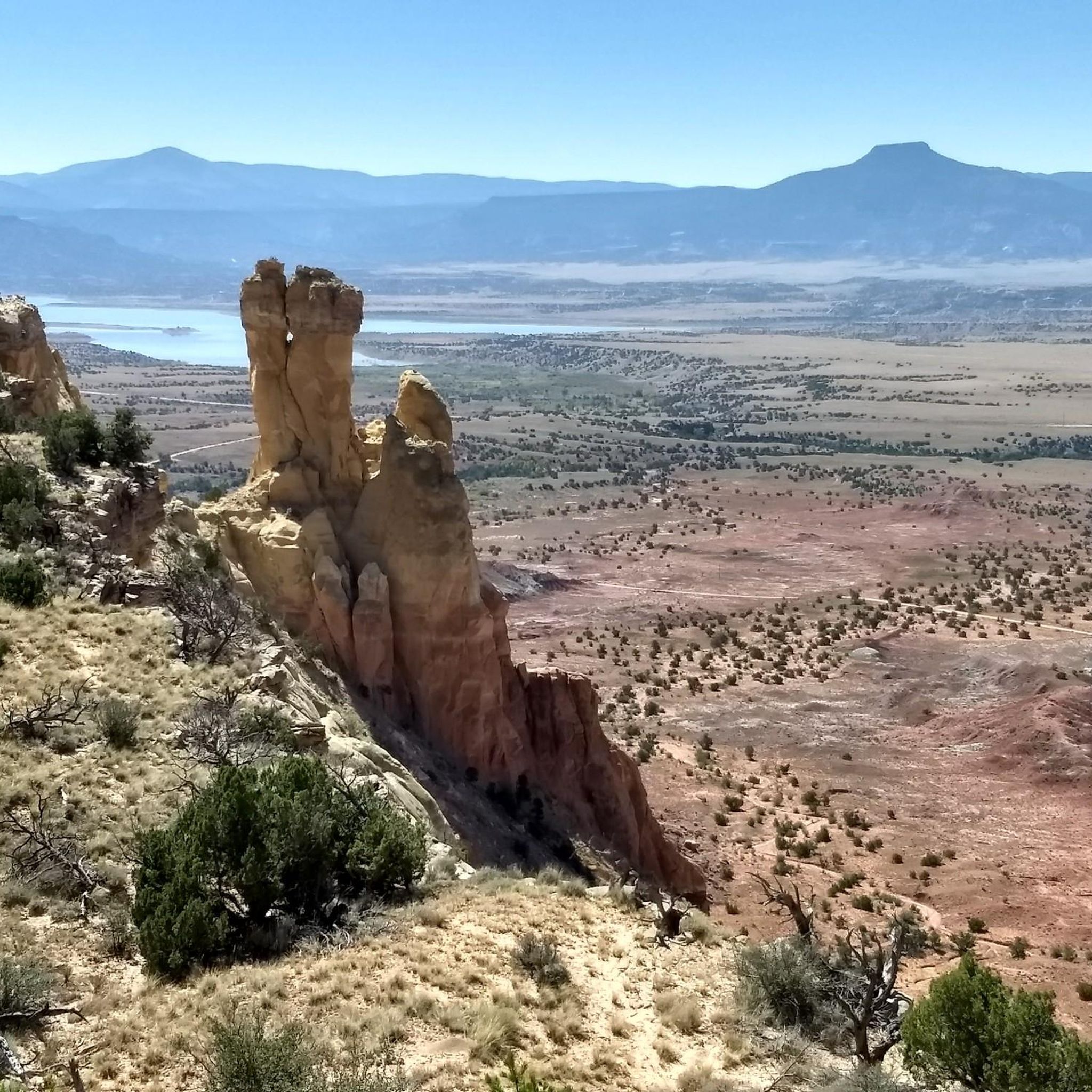
Mountain biking in Carson National Forest offers diverse terrain across its 1.5 million acres, encompassing parts of the Sangre de Cristo Mountains and San Juan Mountains. The region features significant elevation changes, ranging from 6,500 to over 13,000 feet, providing varied landscapes from high desert to alpine zones. Riders can expect trails winding through dense pine and aspen forests, with craggy creeks and open vistas. This extensive network caters to a range of mountain biking experiences.
Best mountain bike trails…
Last updated: August 18, 2026
1
riders
52.8km
05:04
1,170m
1,170m
Hard mountain bike ride. Very good fitness required. Advanced riding skills necessary. Some portions of the route may require you to push your bike.
5.0
(1)
6
riders
114km
10:33
1,930m
1,930m
Hard mountain bike ride. Very good fitness required. Advanced riding skills necessary.

Sign up for free
14
riders
13.7km
01:16
200m
200m
Easy mountain bike ride. Great for any fitness level. Suitable for all skill levels.
6
riders
8.70km
00:47
100m
100m
Easy mountain bike ride. Great for any fitness level. Suitable for all skill levels.
9
riders
81.6km
07:05
1,660m
1,660m
Hard mountain bike ride. Very good fitness required. Advanced riding skills necessary.
Our route recommendations are based on thousands of hikes, rides, and runs completed by other people on komoot.
Start today with a free account
Your next adventure awaits.
Login or Signup
Popular around Carson National Forest

Unforgettable MTB Adventures – IMBA Epic Trails in USA and Canada
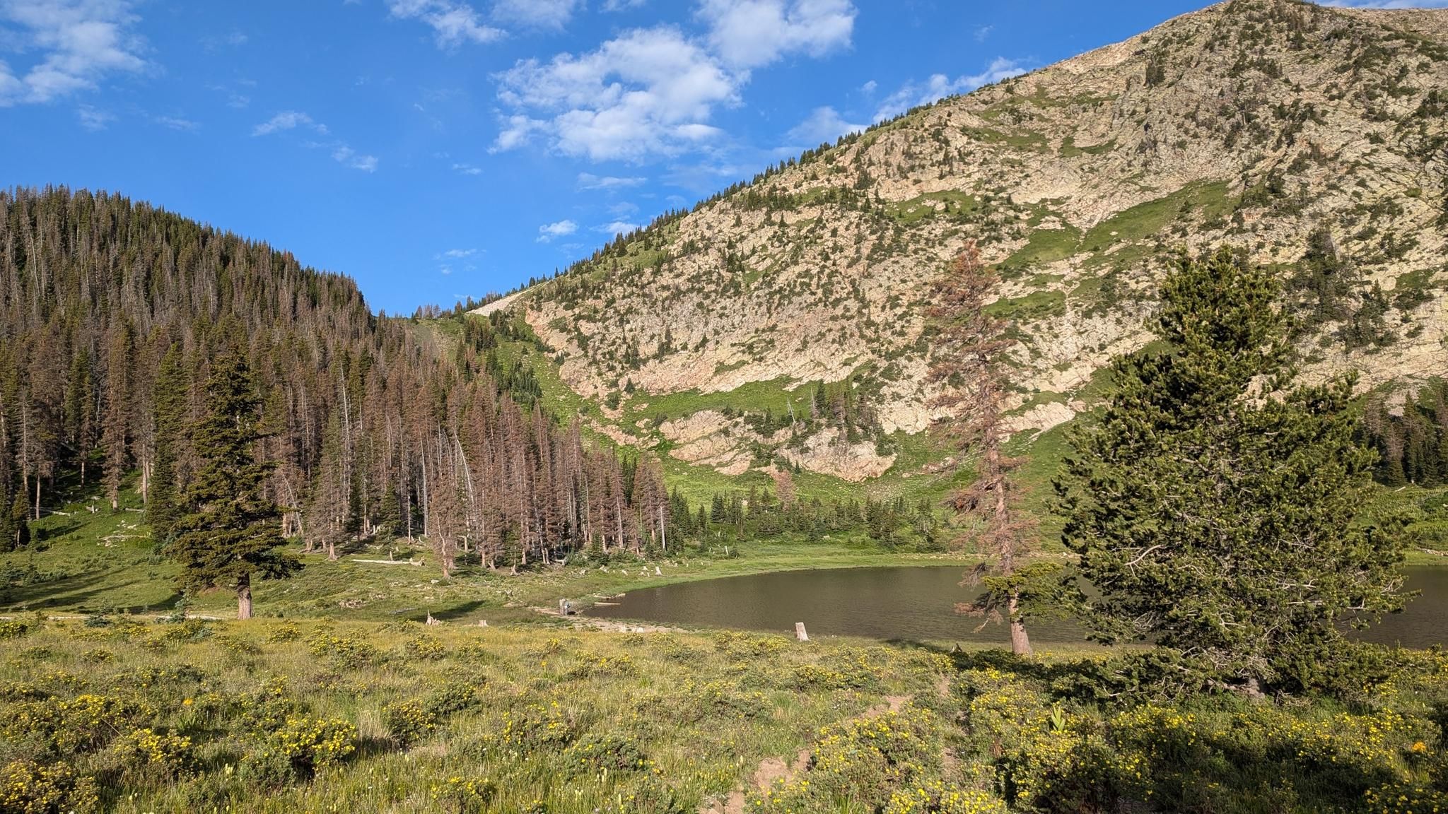
Santa Fe to Taos Thru-Hike — A journey across the Sangre de Cristo Mountains

The Continental Divide Trail — Across the sky of America
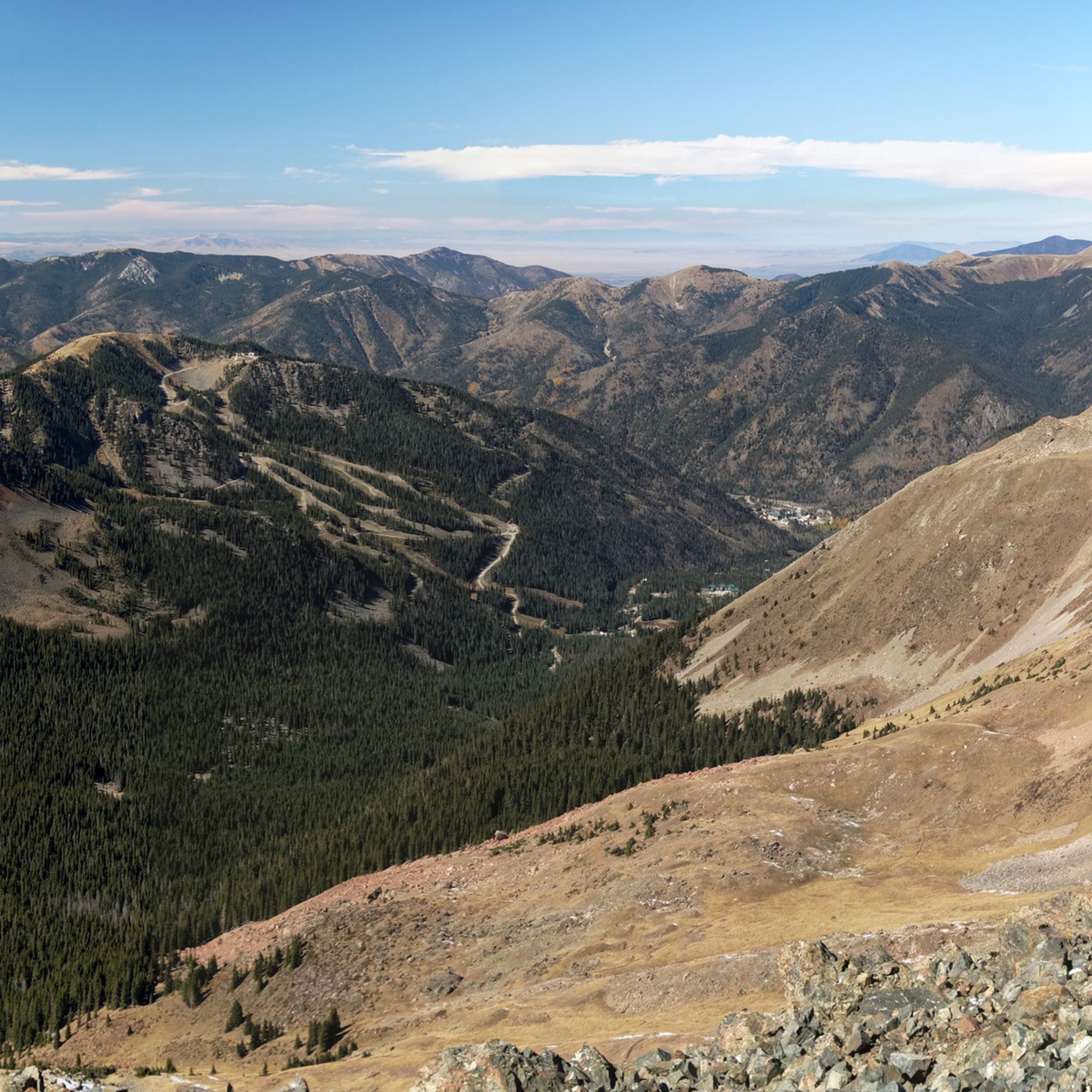
Hiking in Carson National Forest
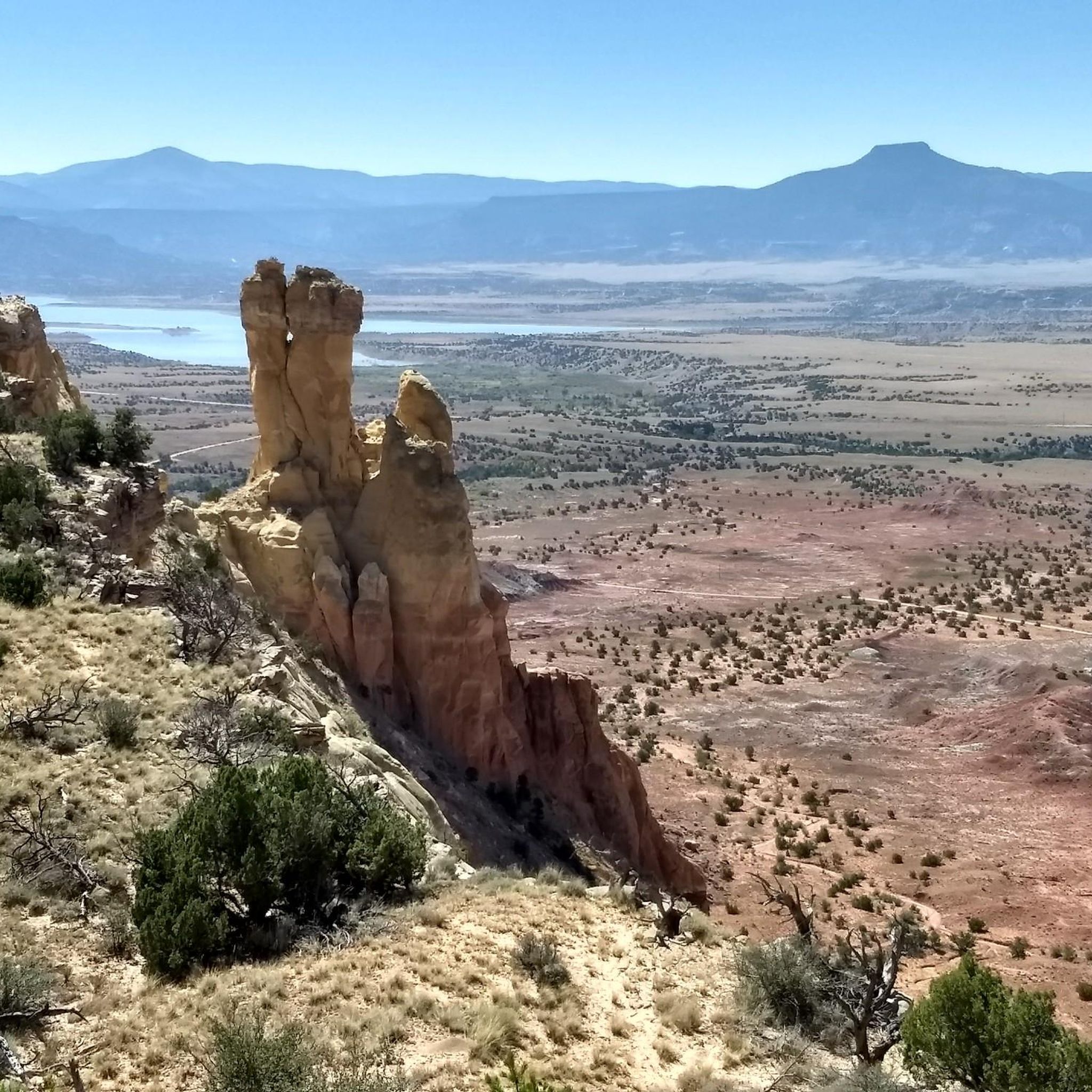
Cycling in Carson National Forest
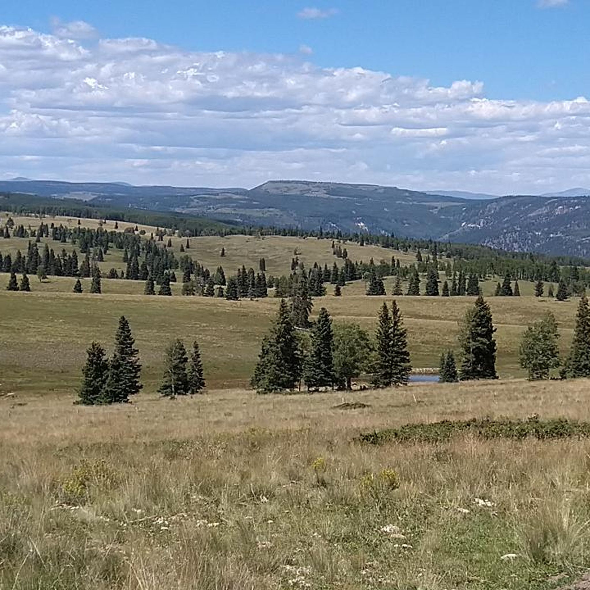
Running Trails in Carson National Forest
Road Cycling Routes in Carson National Forest
Other adventures in Carson National Forest


Tips from the Community

This quiet forest road follows the Rio Chiquito westward through Carson National Forest, offering a peaceful walk beside the creek and shaded stretches of pine. If you are heading north towards Taos, this section, near the Drake Canyon Loop, is the last reliable water source before a long dry stretch toward El Nogal. Several flat spots near the creek provide good opportunities for camping, especially across the water where it’s quieter and more secluded.
0
0

There's actually a fence here, but it's parallel, the road goes across state-to-state.
1
0

FR 437, or Rio Chiquito Road, ius a great way to access some of the hikes near Taos away from the crowds along Highway 64. At this spot, FR 437 intersects with the trail that passes through Ojitos Canyon and connects up to the popular Ojitos Trail. A little further east of here along FR 437 is the junction with Drake Canyon Loop Trail.
0
0
From the The Upper Slide Trail Trailhead, or Cascabel Trailhead, you can access the northeastern end of the popular Slide Trail, which links up to the Orilla Verde Campground and Taos Junction Bridge and Boat Launch. There are several parking spaces and vault toilets here for you to use, which are good to know about if hiking up from the Taos Overlook Trailhead that does not have any facilites.
0
0

Two USFS roads intersect at this point. There are seasonal streams nearby and room at the intersection to leave your car.
0
0
This 10,368-foot mountain has a wide, grassy summit, but there are enough trees if you want to rest in the shade. The view of the surrounding mountains is particularly good in autumn when the aspen trees have turned yellow.
0
0
The South Boundary Trail and the Ojitos Trail intersect at this point. The junction is clearly marked with a signpost.
0
0
This trailhead offers parking for several dozen cars and is a popular embarkation point for hikers, bikers, and equestrians.
0
0
Frequently Asked Questions
What kind of terrain can I expect mountain biking in Carson National Forest?
Carson National Forest offers incredibly diverse terrain due to its significant elevation changes, ranging from 6,500 to over 13,000 feet. You'll find everything from high desert to alpine zones, with trails winding through dense pine and aspen forests, craggy creeks, and open vistas. Expect a mix of rewarding descents, challenging climbs, and technical sections with rocky and root-laden paths.
Are there mountain bike trails suitable for beginners in Carson National Forest?
Yes, Carson National Forest has options for various skill levels. For those looking for an easier ride, consider routes like the Mountainbike loop from John Dunn Bridge, which is 13.5 km with 194m of elevation gain, or the Mountainbike loop from Upper Slide Trail, covering 19.6 km with 241m of ascent.
What are some notable natural landmarks or viewpoints to see while mountain biking in Carson National Forest?
The forest is home to several breathtaking natural features. You can find stunning views from Wheeler Peak Summit, New Mexico's tallest point. Nearby, Williams Lake offers picturesque alpine scenery. The dramatic elevation changes throughout the forest also provide numerous opportunities for expansive vistas of snow-capped peaks and vast valleys.
What is the best time of year for mountain biking in Carson National Forest?
The best time for mountain biking in Carson National Forest is typically from late spring through early autumn. The varied elevations mean that lower trails might be accessible earlier, while higher alpine routes are best enjoyed in summer and early fall when snow has melted and conditions are drier. Autumn also brings vibrant aspen colors, making for particularly scenic rides.
Are there any long-distance or challenging mountain bike routes in the forest?
Absolutely. For experienced riders seeking a challenge, the forest offers demanding routes. The Banco Julian Summit Pass – Rio San Antonio valley loop from Chama is a difficult 113.7 km path with over 1900m of elevation gain. Another challenging option is the El Nogal Trailhead loop from PDC @ Weimer, which spans 53.9 km with over 1100m of climbing.
What do other mountain bikers say about their experience in Carson National Forest?
The mountain biking experience in Carson National Forest is highly regarded by the komoot community, with an average rating of 5.0 stars from reviewers. Riders often praise the diverse terrain, the beauty of the pine and aspen forests, and the spectacular views encountered along the trails.
Are there any family-friendly mountain biking options in Carson National Forest?
While specific family-friendly designations are not always explicit, the presence of easier trails like the Mountainbike loop from John Dunn Bridge suggests that some sections or shorter loops could be suitable for families with varying skill levels. It's always recommended to check the trail difficulty and length to match your family's capabilities.
What are the rules regarding dogs on mountain bike trails in Carson National Forest?
Carson National Forest is generally dog-friendly, allowing dogs on most trails as long as they are kept on a leash. However, it's always best to check specific trail regulations or Forest Service guidelines before heading out, as some areas might have seasonal or specific restrictions to protect wildlife or sensitive ecosystems.
Are there any loop trails available for mountain biking in Carson National Forest?
Yes, many of the mountain bike routes in Carson National Forest are designed as loops, offering a convenient way to start and end your ride at the same point. Examples include the South Boundary Trail (Start) loop from Enchanted Moon Campground and the Mountainbike loop from Upper Slide Trail.
What kind of facilities or amenities can I find near the mountain biking areas in Carson National Forest?
The forest is vast, but areas like Red River, originally a mining town, now serve as tourist destinations offering amenities such as accommodation, cafes, and pubs. These towns can be good bases for exploring the surrounding mountain bike trails. Always plan your route and check for services in nearby communities.
Do I need a permit for mountain biking in Carson National Forest?
Generally, permits are not required for mountain biking on most multi-use trails within Carson National Forest. However, it's always advisable to check the latest regulations with the local Ranger District for any specific areas or activities, as rules can occasionally change or apply to certain events.
Most popular routes in Carson National Forest
Most popular attractions in Carson National Forest

Get inspired with the komoot mobile app


