The best road cycling routes in Santa Fe National Forest
4.3
(52)
759
riders
88
rides
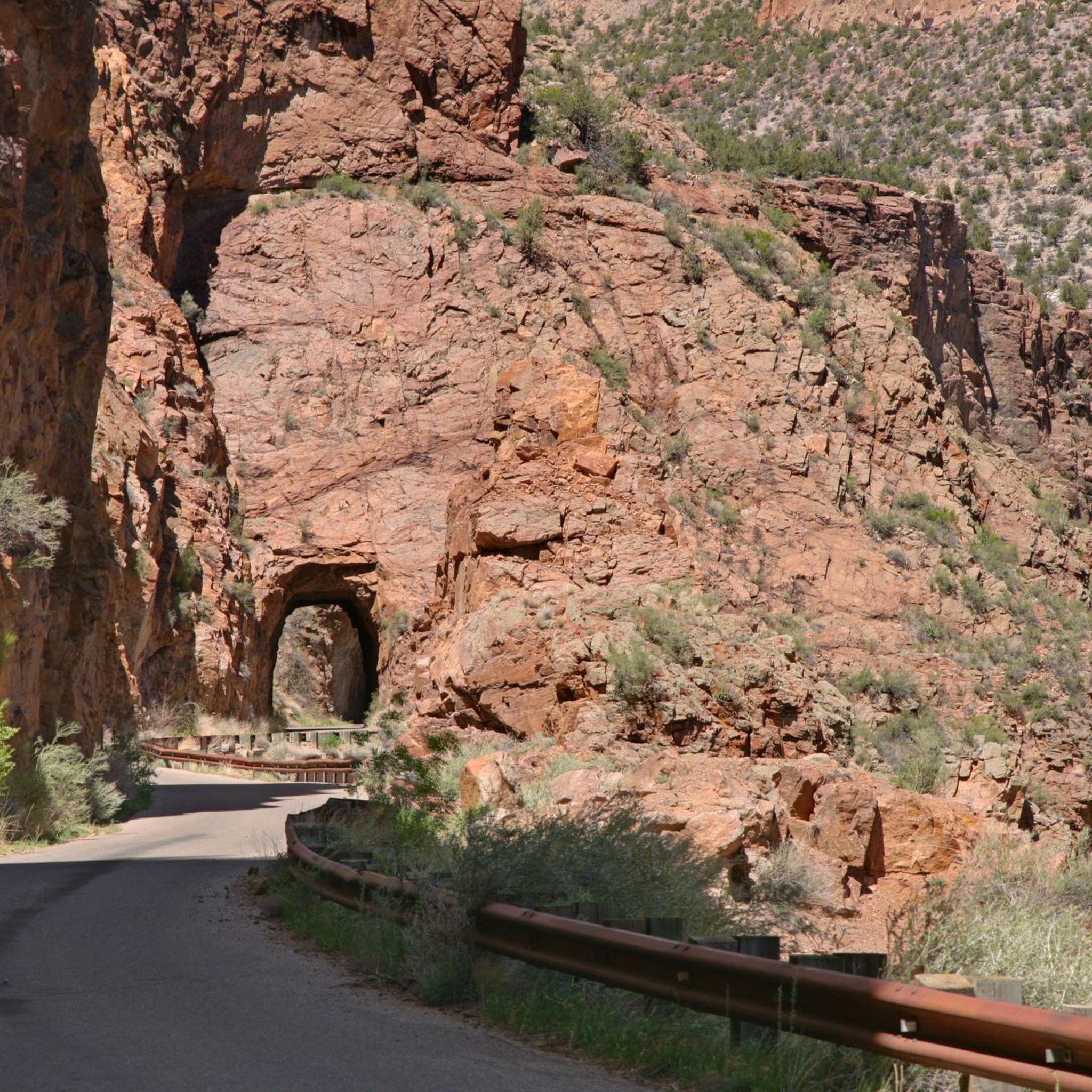
Road cycling in Santa Fe National Forest offers diverse landscapes across 1.6 million acres, with elevations ranging from 5,000 to 13,000 feet. The region features a topography of mountains, valleys, and mesas, providing varied terrain for cyclists. Riders can navigate through dense stands of piñon, juniper, and ponderosa pine forests, encountering volcanic formations and deep river gorges. Paved roads and scenic byways offer routes with significant elevation changes and views of the Rio Grande Valley.
Best road cycling routes in Santa Fe National Forest
- The most popular road cycling route is South Mesa loop, a moderate 31.6 miles (50.9 km) trail that takes 2 hours 33 minutes to complete. This route offers varied terrain and scenic views.
- Another top favourite among local road cyclists is Valles Caldera National Preserve via Los Alamos Valley, a difficult 32.1 miles (51.6 km) path. It features challenging climbs and panoramic views of the preserve.
- Local road cyclists also love the Los Alamos loop, a 14.2 miles (22.8 km) trail leading through high desert scenery, often completed in about 1 hour 11 minutes.
- Road cycling in Santa Fe National Forest is defined by mountains, forests, and volcanic formations. The network offers options for different ability levels, from moderate loops to challenging climbs.
- The routes in Santa Fe National Forest are highly rated by the komoot community with an average score of 4.4 stars from over 50 reviews. More than 800 road cyclists have used komoot to explore Santa Fe National Forest's varied terrain.
Last updated: May 27, 2026
5.0
(3)
20
riders
50.9km
02:33
710m
720m
The South Mesa loop is a moderate 31.6-mile road cycling route in Los Alamos, offering scenic views and 2343 feet of elevation gain.
9
riders
51.6km
02:46
980m
980m
This difficult 32.1-mile road cycling route through Valles Caldera National Preserve offers challenging climbs and panoramic views.

Sign up for free
6
riders
125km
06:23
2,130m
2,130m
This difficult 77.5-mile road cycling route from Los Alamos through Valles Caldera offers stunning scenery and 6988 feet of elevation gain.
22.8km
01:11
350m
350m
Cycle the moderate Los Alamos loop, a 14.2-mile route in New Mexico with 1150 feet of elevation gain through high desert scenery.
5.0
(1)
12
riders
50.4km
02:36
750m
750m
Moderate road ride. Good fitness required. Some segments of this route may be unpaved and difficult to ride.
Get access to more routes and recommendations from other explorers.
Sign up for free
Already have an account?
Our route recommendations are based on thousands of hikes, rides, and runs completed by other people on komoot.
Start today with a free account
Your next adventure awaits.
Login or Signup
Popular around Santa Fe National Forest
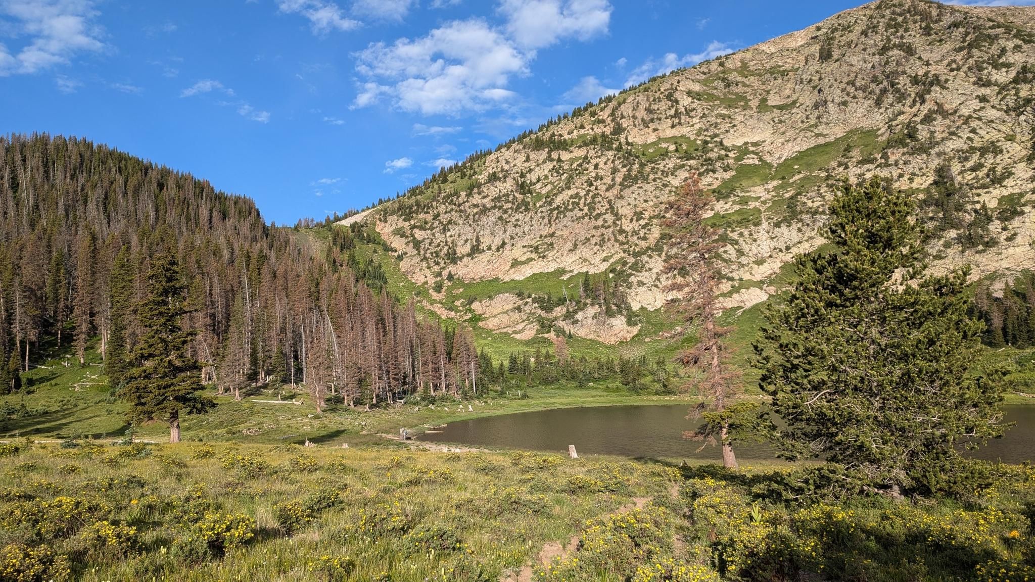
Santa Fe to Taos Thru-Hike — A journey across the Sangre de Cristo Mountains

Bikepack in America's southwest – deserts, cacti and Anasazi culture

New Mexico Off-Road Runner
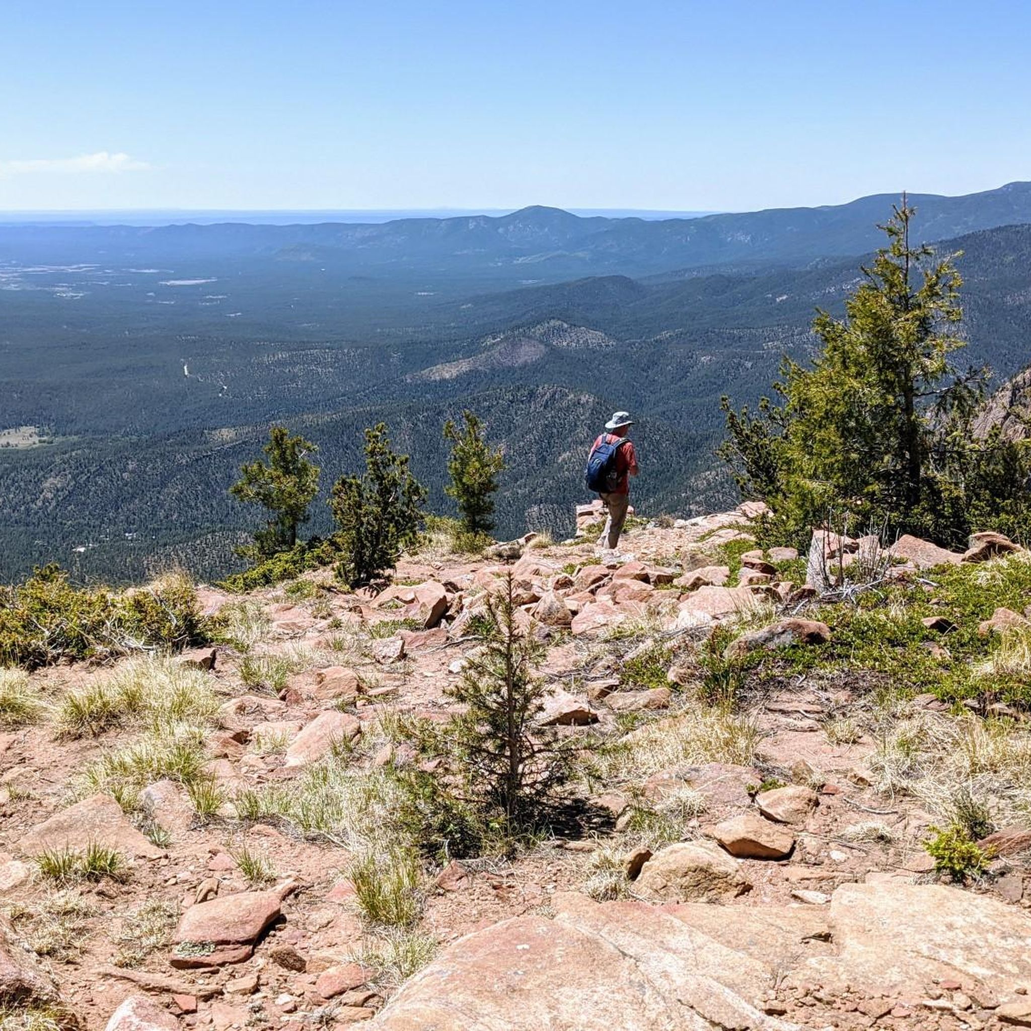
Hiking in Santa Fe National Forest
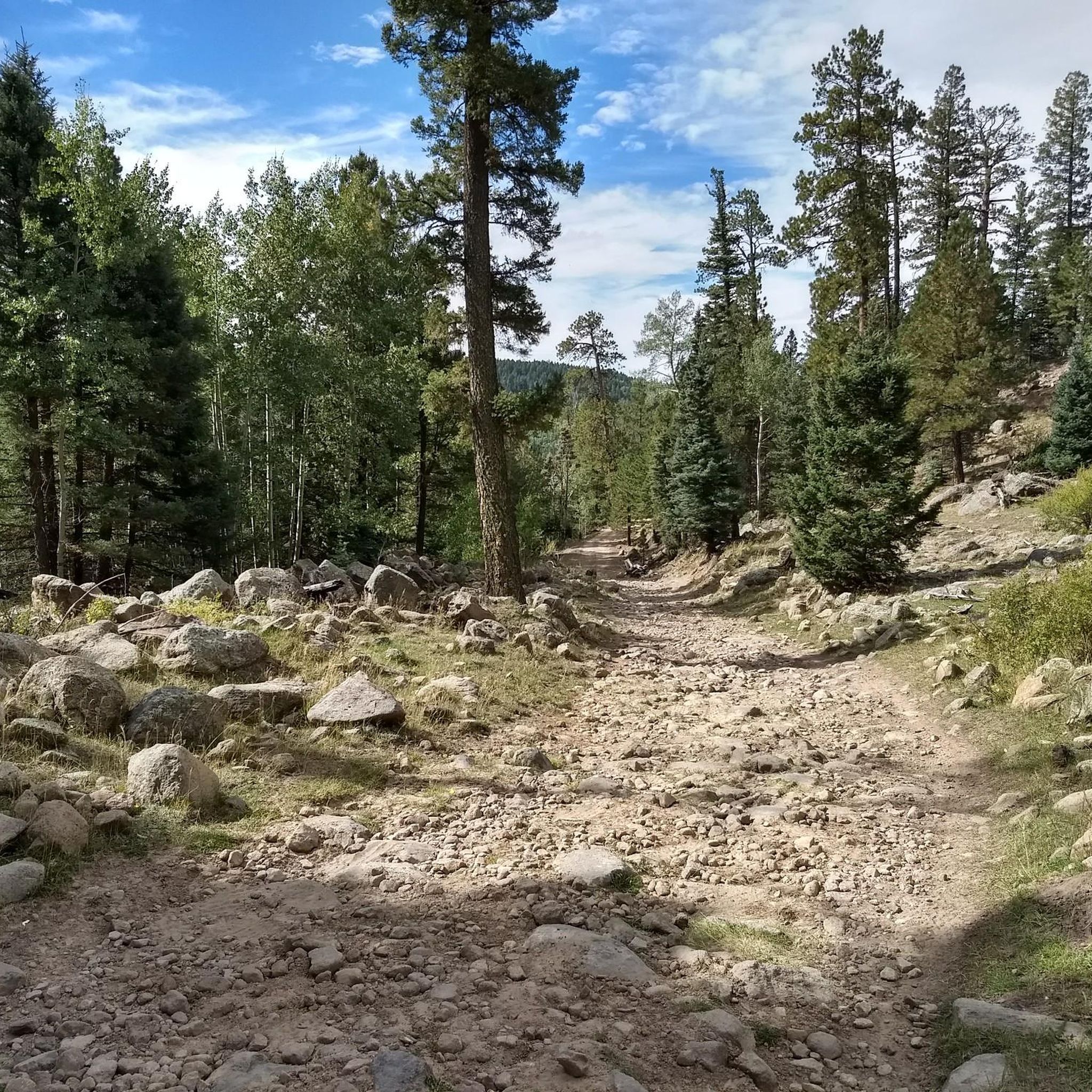
MTB Trails in Santa Fe National Forest
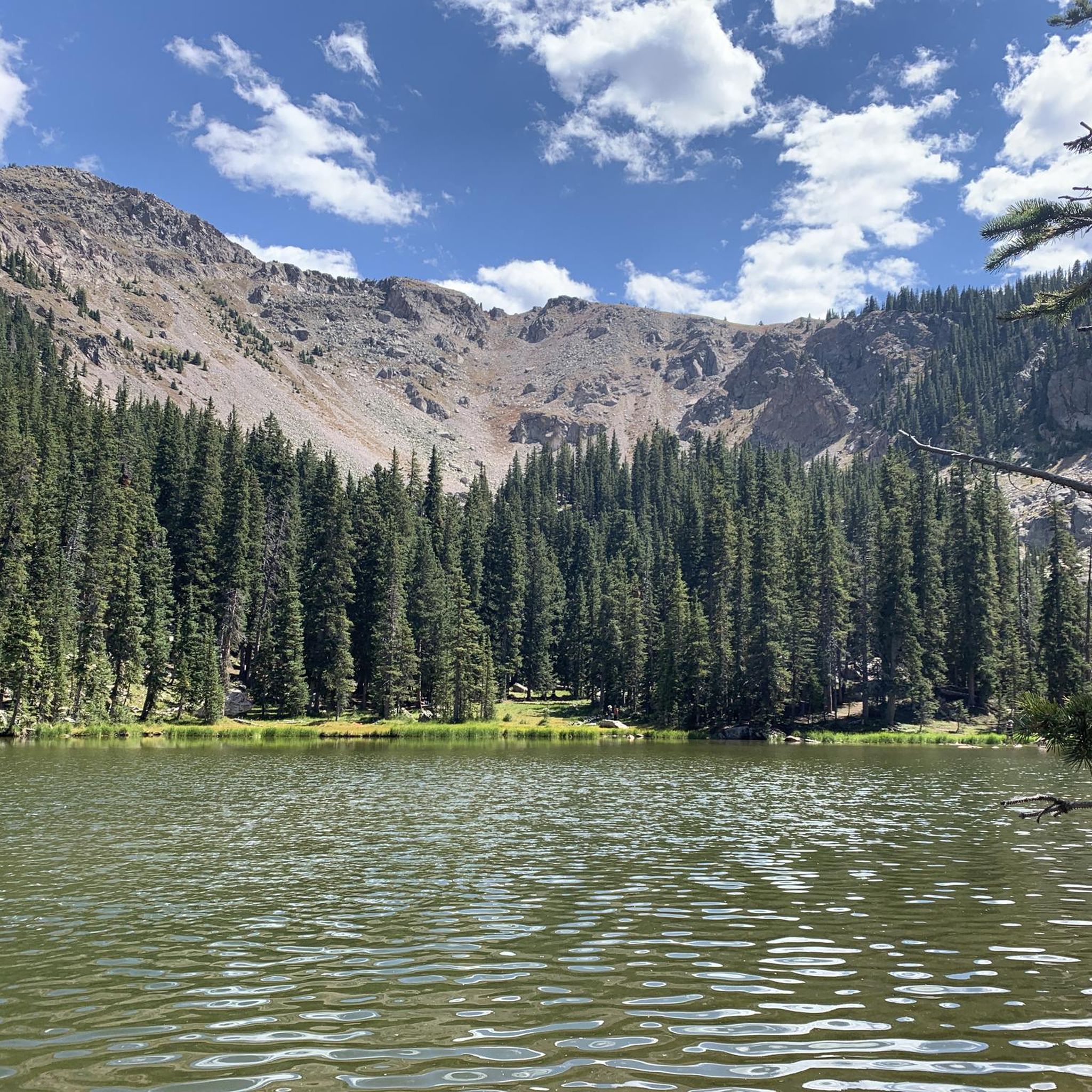
Running Trails in Santa Fe National Forest
Cycling in Santa Fe National Forest

Gravel biking in Santa Fe National Forest
Other adventures in Santa Fe National Forest


Tips from the Community

Ponderosa Group Campground has vault toilets and water spigots and is just off of New Mexico Highway 4. The campsites can hold 10–50 people, and there is access to the Frijoles Canyon Shuttle running from mid-May to mid-October. This campground was affected by the Las Conchas Fire back in 2011, and today it is repaired and running well.
0
0

Los Alamos, New Mexico, holds a significant place in history as the site of the top-secret Manhattan Project during World War II, where scientists developed the atomic bomb. Established in 1943, the Los Alamos National Laboratory remains a key center for scientific research. Beyond its historical importance, Los Alamos offers diverse outdoor recreational opportunities. The surrounding landscape features the stunning Bandelier National Monument, known for its ancient Pueblo dwellings and scenic canyons. The nearby Valles Caldera National Preserve offers opportunities for fishing, wildlife viewing, and exploring the remnants of a massive volcanic crater.
0
0
Los Alamos, New Mexico, holds a significant place in history as the site of the top-secret Manhattan Project during World War II, where scientists developed the atomic bomb. Established in 1943, the Los Alamos National Laboratory remains a key center for scientific research. Beyond its historical importance, Los Alamos offers diverse outdoor recreational opportunities. The surrounding landscape features the stunning Bandelier National Monument, known for its ancient Pueblo dwellings and scenic canyons. The nearby Valles Caldera National Preserve offers opportunities for fishing, wildlife viewing, and exploring the remnants of a massive volcanic crater. The Los Alamos Main Street encompasses the Manhattan Project National Historical Park and the surrounding area where you can shop at local stores and eat at local cafes and restaurants.
0
0

South Mesa is one of four beautiful mesas that comprise Los Alamos. This area is home to a diverse range of wildlife and vegetation, with an abundance of Ponderosa pines and over 200 species of birds. Some of the most common birds you might spot here are hummingbirds, woodpeckers, and ravens. If you're lucky, you may even catch a glimpse of the majestic great horned owl known to inhabit this area.
0
0

The Juniper campground overlooks the Bandelier National Monument and is a clean and quiet place to spend the night with beautiful views all round. If you have any spare energy, there are hiking trails right next to the campsite.
0
0

The Valles Caldera, a twenty kilometer wide circular depression, is a geological gem created by a volcanic eruption that took place around 1.25 million years ago. Today it is a protected area that covers over 39,000 hectares and attracts around 120,000 annual visitors who wish to hike, horseback ride, mountain bike, camp or fish for trout, as well as cross-country skiing and snowshoeing in winter. Located just 22 kilometers west of downtown Los Alamos, the Valles Caldera National Preserve is also a popular hunting destination, as it claims the second largest elk population in the state, and more 400 wild turkeys live in the reserve from April to December. Other wildlife, such as prairie dogs, black bears, and golden eagles, also call this wilderness wilderness home.
1
0

Valles Caldera (or Jemez Caldera) is a 13.7-mile (22.0 km) wide volcanic caldera in the Jemez Mountains of northern New Mexico created by spectacular volcanic eruption of the Southwest's supervolcano about 1.25 million years ago. Hot springs, streams, fumaroles, natural gas seeps and volcanic domes dot the caldera floor landscape. The highest point in the caldera is Redondo Peak, an 11,253-foot (3,430 m) resurgent lava dome located entirely within the caldera. Also within the caldera are several grass valleys [Valle(s)] the largest of which is Valle Grande, the only one accessible by a paved road. Much of the caldera is within the Valles Caldera National Preserve, a unit of the National Park System. The preserve is known for its huge mountain meadows, abundant wildlife, and meandering streams. https://en.m.wikipedia.org/wiki/Valles_Caldera http://www.nps.gov/vall/index.htm
1
0
Valles Caldera (or Jemez Caldera) is a 13.7-mile (22.0 km) wide volcanic caldera in the Jemez Mountains of northern New Mexico created by spectacular volcanic eruption of the Southwest's supervolcano about 1.25 million years ago. Hot springs, streams, fumaroles, natural gas seeps and volcanic domes dot the caldera floor landscape. The highest point in the caldera is Redondo Peak, an 11,253-foot (3,430 m) resurgent lava dome located entirely within the caldera. Also within the caldera are several grass valleys [Valle(s)] the largest of which is Valle Grande, the only one accessible by a paved road. Much of the caldera is within the Valles Caldera National Preserve, a unit of the National Park System. The preserve is known for its huge mountain meadows, abundant wildlife, and meandering streams. https://en.m.wikipedia.org/wiki/Valles_Caldera , http://www.nps.gov/vall/index.htm
0
1
Frequently Asked Questions
How many road cycling routes are available in Santa Fe National Forest?
Santa Fe National Forest offers a wide selection of road cycling routes, with over 80 options available. These routes cater to various skill levels, from easy to difficult, ensuring there's a ride for everyone.
What kind of terrain and elevation can I expect on road cycling routes in Santa Fe National Forest?
The Santa Fe National Forest features diverse terrain, including mountains, valleys, and mesas, with elevations ranging from 5,000 to 13,000 feet. You can expect significant elevation changes, with some routes climbing over 3,000 feet. Routes often pass through dense piñon, juniper, and ponderosa pine forests, as well as areas with colorful volcanic formations.
Are there any easy road cycling routes suitable for beginners in Santa Fe National Forest?
Yes, Santa Fe National Forest offers 27 easy road cycling routes. While specific beginner-focused routes aren't detailed here, these options provide a gentler introduction to the area's beautiful scenery without overly challenging climbs. You can explore these routes on komoot to find one that suits your comfort level.
What scenic views or landmarks can I expect to see along the road cycling routes?
Road cycling routes in Santa Fe National Forest offer stunning views of the Rio Grande Valley and the distant Jemez Mountains. You might also encounter unique natural features like volcanic formations and deep river gorges. Notable stops include Hyde Memorial State Park, and routes near historic pueblo settlements. For specific natural attractions, consider exploring highlights like McCauley Warm Spring or Ashley Pond Park.
Are there any challenging road cycling routes for experienced riders?
Absolutely. For experienced riders seeking a challenge, routes like Valles Caldera National Preserve via Los Alamos Valley offer difficult climbs and panoramic views. Another demanding option is Los Alamos via Los Alamos Valley, which covers over 77 miles with significant elevation gain.
Are there any circular road cycling routes in Santa Fe National Forest?
Yes, many road cycling routes in Santa Fe National Forest are designed as loops, allowing you to start and end at the same point. Examples include the South Mesa loop and the Los Alamos loop, which provide varied scenery and a convenient riding experience.
What do other road cyclists enjoy most about road cycling in Santa Fe National Forest?
The area is highly rated by the komoot community, with an average score of 4.4 stars from over 50 reviews. Cyclists often praise the diverse landscapes, from dense forests to volcanic formations, and the variety of routes that cater to different ability levels, from moderate loops to challenging climbs.
Is there parking available for road cyclists in Santa Fe National Forest?
While specific parking locations for each route are not detailed here, the Santa Fe National Forest, covering 1.6 million acres, offers numerous access points and trailheads where parking is generally available. It's advisable to check the starting point of your chosen route for specific parking information.
What is the best time of year to go road cycling in Santa Fe National Forest?
The best time for road cycling in Santa Fe National Forest is typically during the spring, summer, and fall months when the weather is most favorable. Elevations range significantly, so conditions can vary; higher elevation routes may be inaccessible due to snow in winter, while lower areas might be rideable year-round. Always check local weather and road conditions before heading out.
Are there any road cycling routes that pass by water features like waterfalls or lakes?
Yes, the Santa Fe National Forest is home to the headwaters of the Pecos, Jemez, and Gallinas Rivers. The Nambe Falls Recreation Area offers a unique wilderness experience where cyclists can pause to hike to a spectacular waterfall vista. Additionally, you can find lakes such as Nambe Lake and Fenton Lake State Park within the forest, which may be accessible via road cycling routes or nearby.
Are there any specific permits required for road cycling in Santa Fe National Forest?
Generally, no specific permits are required for road cycling on paved public roads within the Santa Fe National Forest. However, if your route takes you into specific recreation areas or private lands, or if you plan to participate in organized events, it's always best to check with the local forest service office or land management agency for any specific regulations or permit requirements.
Most popular routes in Santa Fe National Forest
Most popular attractions in Santa Fe National Forest

Get inspired with the komoot mobile app


Explore more
Browse the best Road cycling routes in other regions.
