The best walks and hikes around Curio
4.5
(7115)
37,330
hikers
791
hikes
Hiking around Curio offers diverse terrain characterized by rolling hills, dense birch forests, and scenic views of nearby lakes like Lake Maggiore and Lake Lugano. The region features numerous trails that lead past waterfalls and through charming villages, providing a mix of natural beauty and cultural points of interest. Hikers can expect varied elevation changes, from gentle slopes to more challenging ascents, making it suitable for different experience levels. The landscape is shaped by its proximity to the Alps, offering…
Last updated: August 11, 2026
4.6
(15)
88
hikers
13.8km
05:41
1,000m
1,000m
Hard hike. Very good fitness required. Mostly accessible paths. Sure-footedness required.
4.7
(124)
510
hikers
5.95km
01:51
220m
220m
Easy hike. Great for any fitness level. Easily-accessible paths. Suitable for all skill levels.

Sign up for free
4.7
(10)
30
hikers
9.16km
02:58
400m
400m
Hard hike. Good fitness required. Sure-footedness, sturdy shoes and alpine experience required.
4.7
(12)
126
hikers
11.9km
04:32
690m
690m
Moderate hike. Good fitness required. Mostly accessible paths. Sure-footedness required.
5.0
(6)
33
hikers
7.30km
02:13
240m
240m
Moderate hike. Good fitness required. Easily-accessible paths. Suitable for all skill levels.
Get access to more routes and recommendations from other explorers.
Sign up for free
Already have an account?
Our route recommendations are based on thousands of hikes, rides, and runs completed by other people on komoot.
Start today with a free account
Your next adventure awaits.
Login or Signup
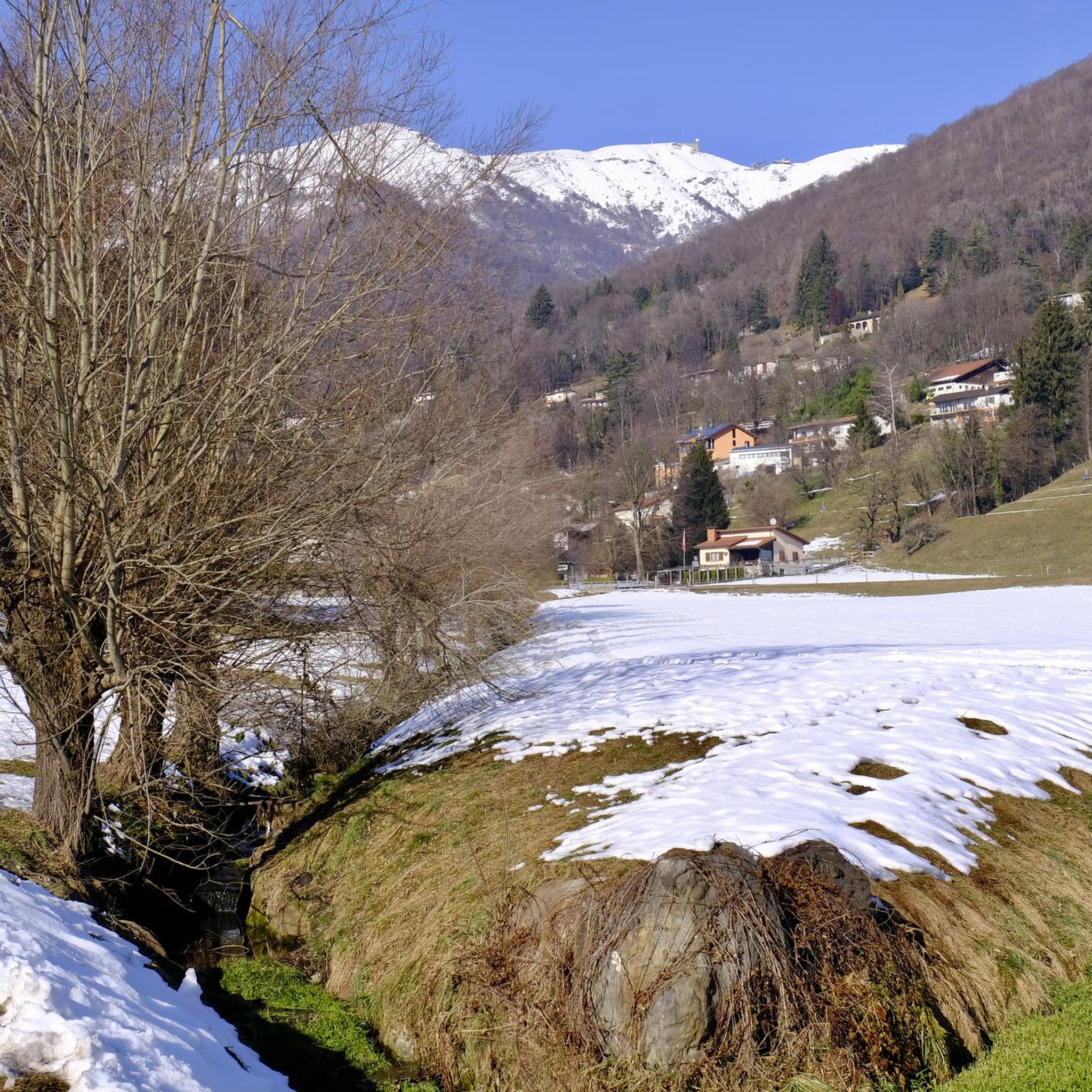
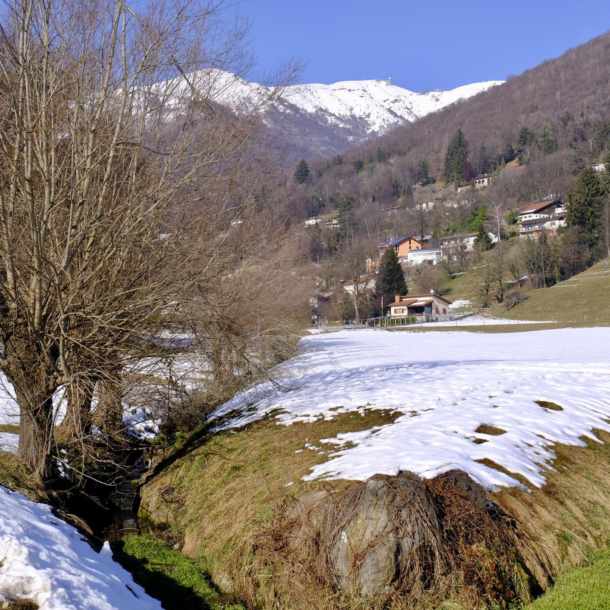
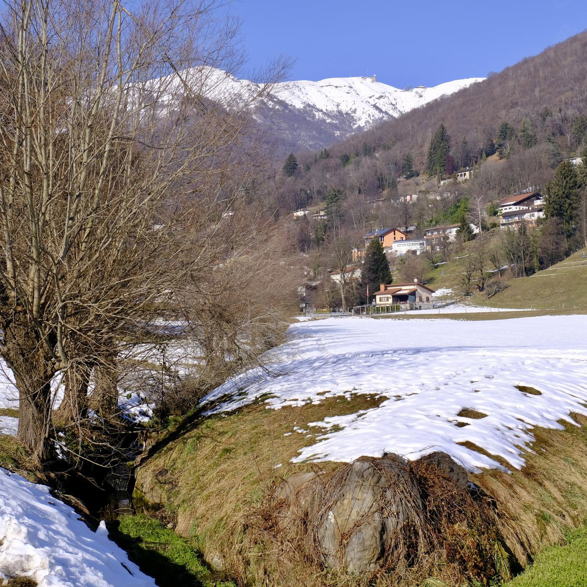

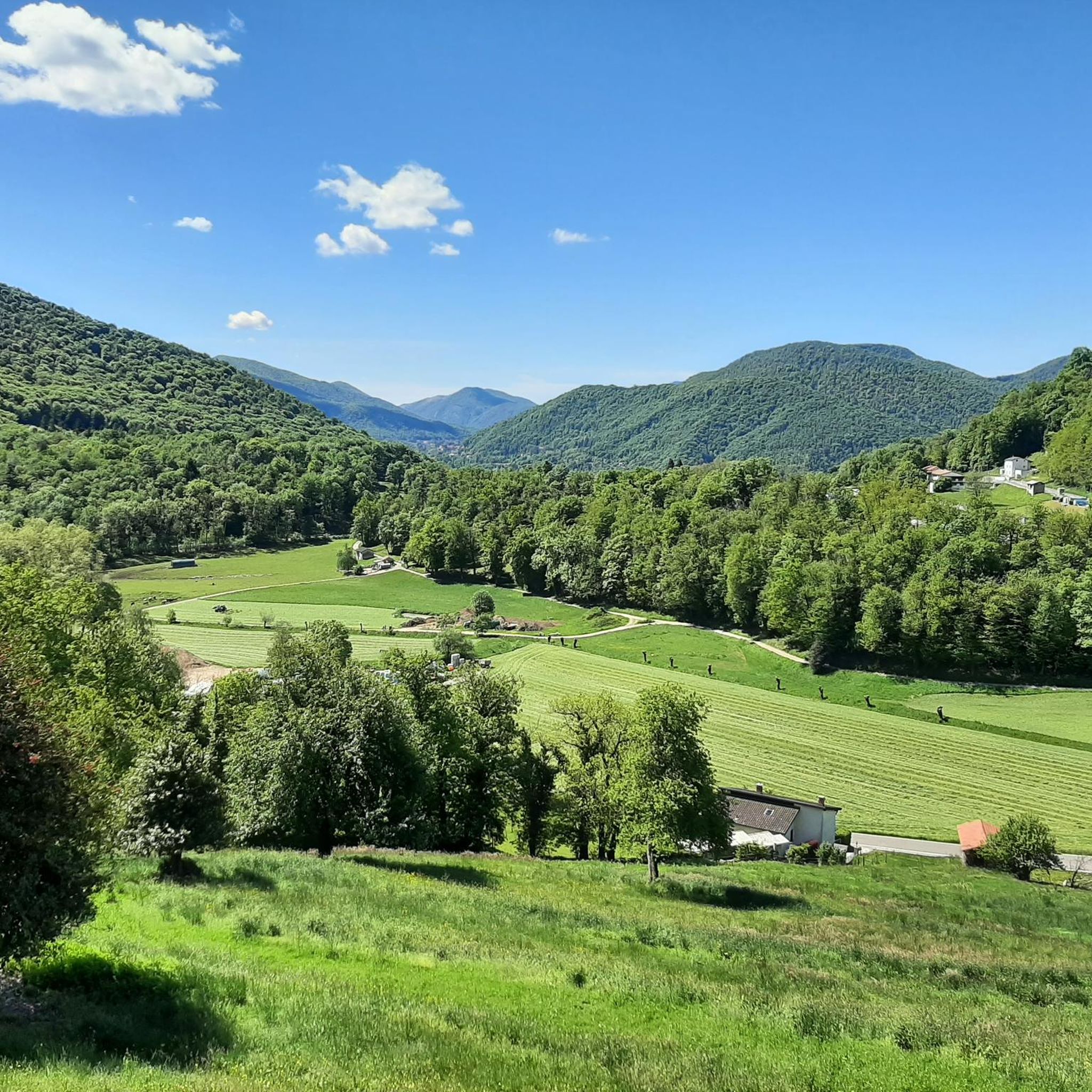
Tips from the Community

Close to the Italian border. Superb view into the French and Swiss Alps
0
0
Very nice Ticino village. Accessible by Postauto.
0
0


The Magliasina River is approximately 15 km long, flows into Lake Lugano (Ceresio), and encompasses two floodplains of national importance. Numerous animal species (e.g., crayfish) and rare protected plant species (ostrich fern, wetland forests with white and black alder) live in this area.
0
0

Border stump between Italy and Switzerland
0
0

Tiny little bridge across the Magliasina river. When it's warm, you can cool off with a paddle in the crystal clear water.
0
0

Embark on the Sentiero delle Meraviglie that crosses the enchanting Valle di Barbara for a hike that lives up to its name, “Path of Wonders.” This trail leads you through a varied landscape and the gentle sound of the Barbara stream accompanies you along the way, adding a serene ambiance to your journey.
0
0

The sacred building is dedicated to the Madonna and preserves some devotional frescoes inside; on the altar there is a fresco representing the Virgin of Graces who welcomes the faithful under her cloak: on the right the Benedictine nuns (who lived in the monastery attached to the building) and on the left some commoners with the chaplain.
0
0
Frequently Asked Questions
How many hiking trails are available in Curio?
Curio offers a vast network of over 800 hiking routes. These trails cater to various preferences, from gentle walks through forests to more demanding ascents with significant elevation gain.
What kind of terrain can I expect when hiking around Curio?
The terrain around Curio is characterized by rolling hills, dense birch forests, and scenic views of nearby lakes such as Lake Maggiore and Lake Lugano. You'll find a mix of natural beauty and charming villages, with varied elevation changes suitable for different experience levels.
Are there easy or beginner-friendly hikes in Curio?
Yes, Curio has a good selection of easy hikes. For instance, the Novaggio Murals – Miglieglia village loop from Curio is an easy 3.8-mile (6.1 km) trail that takes you through local scenery.
Can I find trails with waterfalls in Curio?
Absolutely. One popular route that features a waterfall is the Miglieglia village – Al Maglio waterfall loop from Curio. This trail leads through local villages and directly past the beautiful Al Maglio waterfall.
Are there any circular hiking routes in Curio?
Many trails in Curio are designed as loops, offering a convenient way to explore the region. Examples include the View of Lake Maggiore – Birch Forest Trail loop from Novaggio, which provides stunning lake views, and the Santuario di Trezzo – Astano Pond loop from Astano.
What are some notable natural features or viewpoints to see while hiking in Curio?
Hikers in Curio can enjoy serene lake views, lush forest paths, and the dramatic landscapes shaped by the Alps. Notable viewpoints include those offering panoramas of Lake Maggiore and Lake Lugano. You can also explore mountain peaks like Monte Tamaro or enjoy the View from Monte San Salvatore.
Are the hiking trails in Curio suitable for families?
Yes, Curio offers trails suitable for families, especially the easier and moderate routes. These often pass through charming villages and offer gentle slopes, providing an enjoyable experience for all ages. Look for trails with shorter distances and less elevation gain.
What do other hikers say about the trails in Curio?
The hiking routes in Curio are highly regarded by the komoot community, holding an average score of 4.5 stars from over 6,300 reviews. Hikers often praise the diverse terrain, the beautiful lake views, and the well-maintained paths through forests and villages.
Are there any mountain peaks or caves to explore near Curio?
Yes, the region around Curio is rich in natural attractions. You can explore mountain peaks such as Monte Lema or discover unique geological features like the Red Rock Tunnel of Sasso del Ferro, which is a notable cave in the area.
What is the best time of year to go hiking in Curio?
Curio's proximity to the Alps means it experiences distinct seasons. Spring and autumn generally offer pleasant temperatures and vibrant scenery, ideal for hiking. Summer can be warm, especially at lower elevations, while winter may bring snow to higher trails, offering a different kind of challenge for experienced hikers.
Are there options for longer, more challenging hikes in Curio?
For those seeking a challenge, Curio has several difficult routes. The Lugano Bike Trail: Stage 4, for example, is an 8.6-mile (13.8 km) difficult route with significant elevation gain, offering a strenuous but rewarding experience.
Can I bring my dog on the hiking trails in Curio?
Many trails in the Curio region are dog-friendly, allowing you to enjoy the outdoors with your canine companion. However, it's always advisable to check specific trail regulations or local signage, especially in nature reserves or protected areas, and to keep your dog on a leash where required.
Are there any charming villages or places to explore near the hiking routes?
Yes, hiking in Curio often takes you through or near charming local villages. The Miglieglia village – Al Maglio waterfall loop from Curio is a great example, allowing you to experience the local culture and architecture alongside natural beauty.
Most popular attractions around Curio

Get inspired with the komoot mobile app


Explore more
Browse the best Hikes in other regions.
