The best walks and hikes around Dam Rauschenbach
4.7
(5015)
17,334
hikers
932
hikes
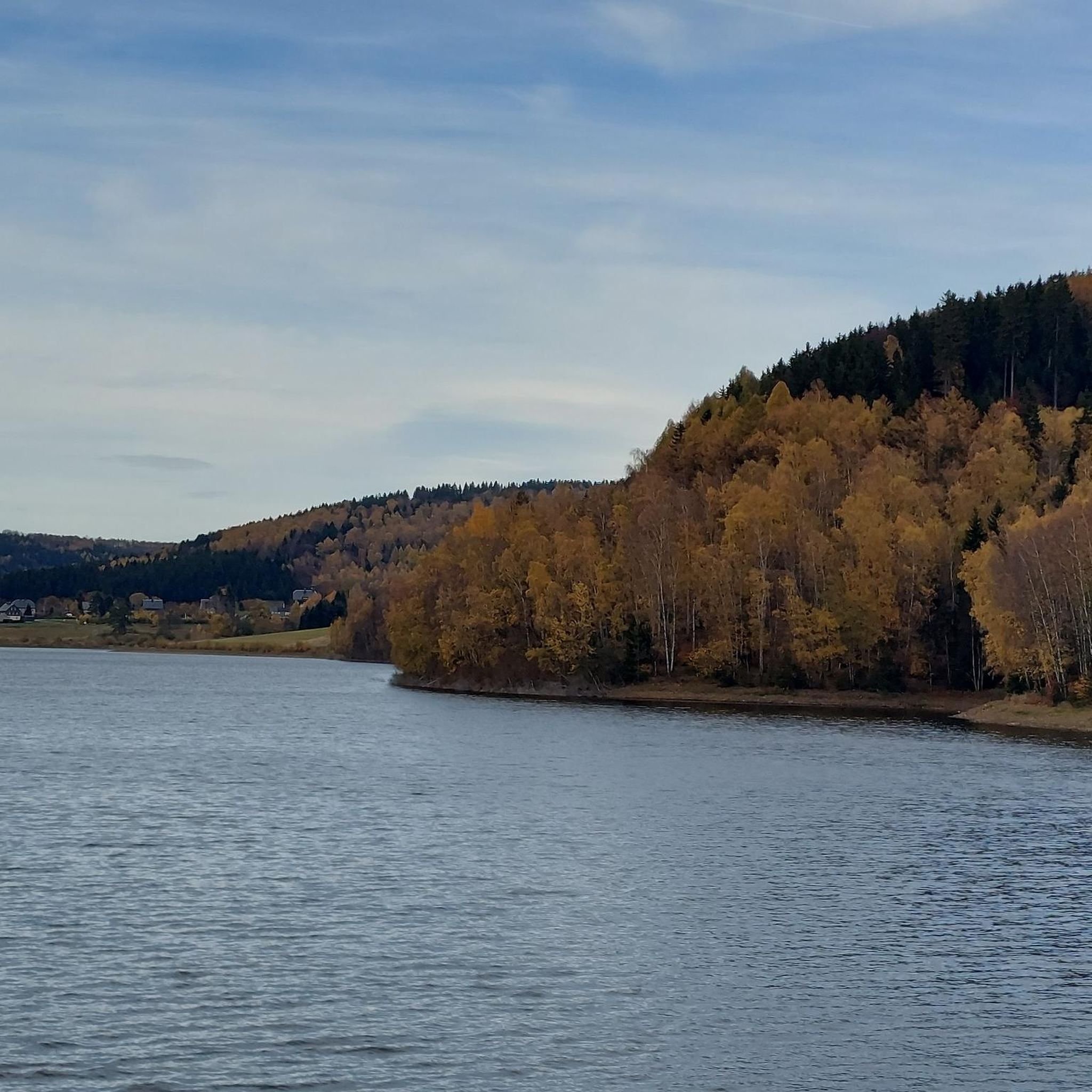
Hiking trails around Dam Rauschenbach are situated in the upper Flöha valley, characterized by the expansive reservoir formed by the Flöha and Wernsbach rivers. The terrain features surrounding forests and offers views towards the Ore Mountains (Erzgebirge). The area provides diverse landscapes for hiking, ranging from easy walks around the reservoir to more demanding routes through varied elevations.
Best hiking trails around Dam Rauschenbach
- The most popular hiking route is Rauschenbach Dam – View of the Rauschenbach Dam loop from…
Last updated: July 10, 2026
4.6
(111)
314
hikers
8.65km
02:26
180m
180m
Moderate hike. Good fitness required. Easily-accessible paths. Suitable for all skill levels.
4.7
(73)
218
hikers
14.7km
04:04
250m
260m
Moderate hike. Good fitness required. Easily-accessible paths. Suitable for all skill levels.

Sign up for free
4.6
(32)
123
hikers
19.5km
05:18
270m
270m
Hard hike. Very good fitness required. Easily-accessible paths. Suitable for all skill levels.
4.7
(38)
99
hikers
13.9km
03:56
290m
290m
Moderate hike. Good fitness required. Easily-accessible paths. Suitable for all skill levels.
4.6
(17)
72
hikers
13.8km
03:51
270m
270m
Moderate hike. Good fitness required. Easily-accessible paths. Suitable for all skill levels.
Get access to more routes and recommendations from other explorers.
Sign up for free
Already have an account?
Our route recommendations are based on thousands of hikes, rides, and runs completed by other people on komoot.
Start today with a free account
Your next adventure awaits.
Login or Signup
Tips from the Community

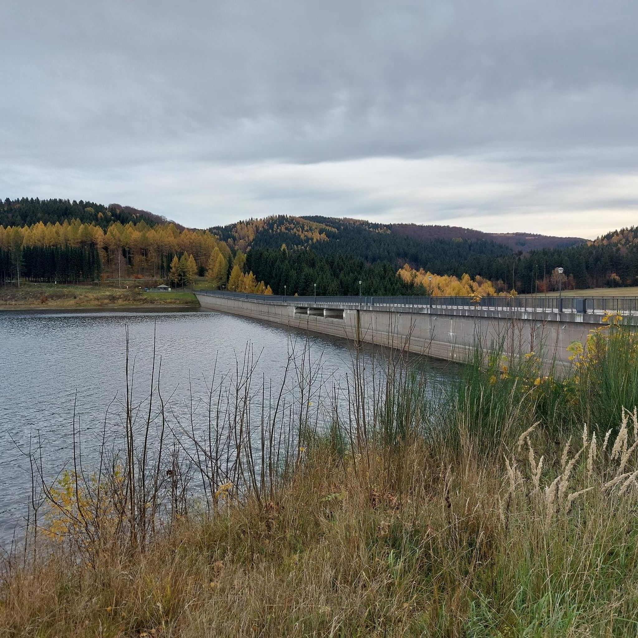
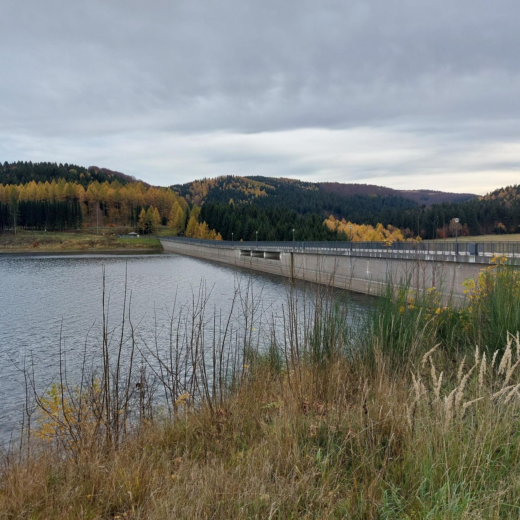
Beautiful rest area. Now with a shelter. View of the Schwartenberg (Seiffen). Great panorama. This spot is highly recommended.
0
0
Crossing is possible via a footpath directly next to the main road. Great view from the other side of the dam.
1
0


In 2001, Fláje consisted of 3 houses, in which 20 people lived.[5] From the old village, the foundations of the relocated church and houses are still visible on the eastern shore of the reservoir.
3
0


Pretty little wooden bridge that sags a little and rocks slightly.
13
0

Frequently Asked Questions
How many hiking trails are available around Dam Rauschenbach?
There are over 900 hiking routes available around Dam Rauschenbach, catering to various skill levels. Approximately 340 of these are considered easy, making the area accessible for many visitors.
Are there easy hiking options suitable for families?
Yes, Dam Rauschenbach offers many easy trails perfect for families. These routes often take up to 2 hours to complete and cover around 1,000 feet of elevation gain. An example is the Rauschenbach Dam – View of the Rauschenbach Dam loop from Cämmerswalde, which is an easy 4.35-mile (7.0 km) loop.
Can I bring my dog on the trails around Dam Rauschenbach?
The trails around Dam Rauschenbach are generally dog-friendly, offering a great opportunity to explore nature with your canine companion. Always ensure your dog is on a leash and that you clean up after them to preserve the natural environment for everyone.
What kind of landscapes and views can I expect on these hikes?
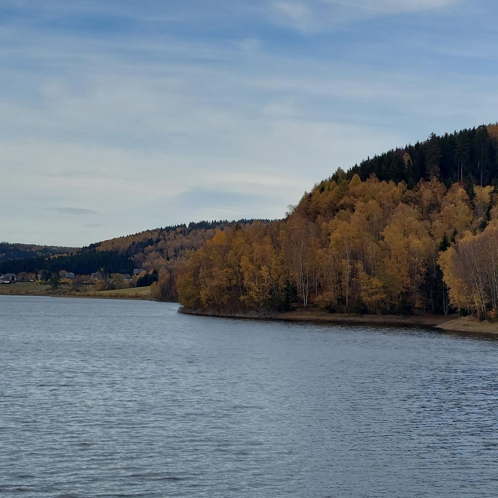
Hikers can expect stunning scenery centered around the dam and its expansive reservoir. Trails offer magnificent views of the dam itself, picturesque views over the reservoir, and distant panoramas down the valley towards the Ore Mountains (Erzgebirge). Surrounding forests also contribute to the natural beauty.
Are there any circular hiking routes around the dam?
Yes, many of the trails around Dam Rauschenbach are circular, allowing you to start and end at the same point. For example, the Rauschenbach Dam – View of the Rauschenbach Dam loop from Český Jiřetín is a moderate 5.37-mile (8.65 km) path offering panoramic views of the dam and its surroundings.
What are some notable attractions or points of interest along the trails?
Beyond the dam itself, hikers can explore several points of interest. These include the Rauschenbach Dam, the Rauschenbach Dam and Deutschgeorgenthal Scenic Route, and the Ring-piston valve at the Rauschenbach Dam. You can also find the Entrance to the Reservoir and the Flöha Waterway Information Board.
Are there more challenging trails for experienced hikers?
Yes, for those seeking more demanding trails, Dam Rauschenbach offers moderate to difficult hikes. These can extend up to 5 hours and involve up to 3,000 feet of elevation gain, requiring good fitness. There are 89 difficult routes available in the area.
What is the best time of year to go hiking in this area?
The area around Dam Rauschenbach is beautiful year-round. Spring and autumn offer vibrant colors and pleasant temperatures, while summer provides longer daylight hours. Even in winter, the snow-covered landscapes can be stunning, though some trails might require appropriate gear.
Is there parking available for hikers?
Yes, parking is generally available at common starting points for trails around Dam Rauschenbach. Specific parking information can often be found on individual route pages or local signage.
What do other hikers say about the trails around Dam Rauschenbach?
The trails in Dam Rauschenbach are highly rated by the komoot community, with an average score of 4.6 stars from over 4,400 reviews. Hikers often praise the diverse landscapes, stunning reservoir views, and well-maintained paths suitable for various ability levels.
Are there any historical sites or castles to explore nearby?
Yes, you can incorporate historical sites into your hike. The Purschenstein Castle – Rauschenbach Dam loop from Rauschenbach is an 8.57-mile (13.79 km) trail that leads through forested areas and past Purschenstein Castle, offering a blend of nature and history.
How long do hikes typically take around Dam Rauschenbach?
Hike durations vary significantly depending on the trail's difficulty and length. Easy walks can take up to 2 hours, while moderate hikes might extend up to 5 hours. For example, the Reichelt Panorama – Purschenstein Castle loop from Rauschenbach is a moderate 5.5-mile (8.8 km) route that typically takes around 2 hours and 28 minutes.
Most popular routes around Dam Rauschenbach
Most popular attractions around Dam Rauschenbach

Get inspired with the komoot mobile app


Explore more
Browse the best Hikes in other regions.
