The best mountain hikes around Ausgleichsbecken Rottau
4.8
(9)
106
hikers
5
hikes
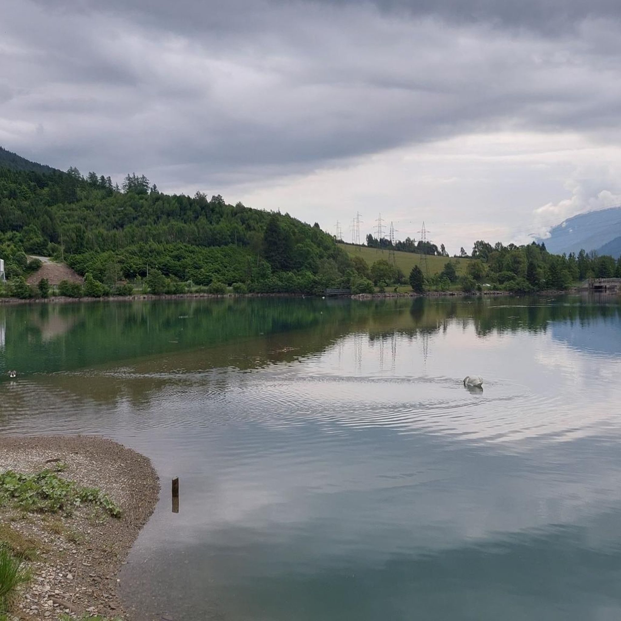
Mountaineering routes around Ausgleichsbecken Rottau are situated within the Mölltal, a region characterized by deep gorges, narrow valleys, and wild rivers, all set against the backdrop of the Hohe Tauern National Park. This area features a diverse landscape, from the nearly two-kilometer-long compensation basin itself to challenging alpine terrain with impressive rock faces. The broader national park encompasses a high alpine world with numerous peaks exceeding 3,000 meters, glaciated areas, and extensive alpine meadows, offering varied conditions for mountaineering.
Best…
Last updated: May 12, 2026
4.0
(2)
8
hikers
10.5km
04:29
910m
910m
Hard mountaineering route. Very good fitness required. Easily-accessible paths. Suitable for all skill levels.
5.0
(1)
6
hikers
12.1km
06:28
1,020m
1,020m
Hard mountaineering route. Very good fitness required. Sure-footedness, sturdy shoes and alpine experience required.

Sign up for free
5.0
(1)
16
hikers
10.9km
04:43
850m
850m
Moderate mountaineering route. Good fitness required. Mostly accessible paths. Sure-footedness required.
4.8
(4)
40
hikers
14.0km
07:41
1,300m
1,300m
Hard mountaineering route. Very good fitness required. Sure-footedness, sturdy shoes and alpine experience required.
9
hikers
8.45km
05:07
1,140m
1,140m
Hard mountaineering route. Very good fitness required. Mostly accessible paths. Sure-footedness required.
Our route recommendations are based on thousands of hikes, rides, and runs completed by other people on komoot.
Start today with a free account
Your next adventure awaits.
Login or Signup

Tips from the Community


Good opportunity to take a break
0
0

The bike path from Mallnitz to Spittal is well signposted! Some sections require chunkier tires! 🚵♂️ There's plenty of interesting things to see and some great places to stop for a break!
1
0
The bike path from Mallnitz to Spittal is well signposted! Some sections require chunkier tires! 🚵♂️ There's plenty of interesting things to see and some great places to stop for a break!
1
0
The bike path from Mallnitz to Möllbrücke is well signposted! Some sections require chunkier tires! 🚵♂️
1
0


Frequently Asked Questions
What is the general difficulty level of mountaineering routes around Ausgleichsbecken Rottau?
The mountaineering routes in this region cater to experienced hikers. Out of the 5 routes listed, 4 are classified as difficult, and 1 is moderate. These trails often involve significant elevation gain and rugged terrain, requiring good fitness and sure-footedness.
Are there any circular mountaineering routes available?
Yes, several routes are circular. For example, you can explore the Poldi's snack station – Rossseben loop from Tagesspeicher Roßwiese, which is a difficult 10.6 km trail. Another option is the Rieckenbach Waterfall – Headwaters of the Waterfall loop from Zandlacher Hütte, a challenging 12.1 km path that includes a waterfall.
What kind of terrain can I expect on these mountaineering trails?
The terrain around Ausgleichsbecken Rottau is highly varied, ranging from deep gorges and narrow valleys to impressive rock faces and high alpine landscapes. You'll encounter glaciated peaks, extensive alpine meadows, and dense forests, especially within the Hohe Tauern National Park. Some routes, like the Christebauerhütte – Forest Trail to Böse Nase loop from Burgruine Hohenburg, lead through forest and mountain paths.
Are there any notable natural features or landmarks to see along the routes?
Absolutely. The region is rich in natural beauty. You can experience breathtaking waterfalls, such as the 130-meter Jungfernsprung waterfall, and pristine mountain lakes. The Rieckenbach Waterfall – Headwaters of the Waterfall loop from Zandlacher Hütte specifically highlights a waterfall. Additionally, the Ausgleichsbecken Rottau itself, a nearly two-kilometer-long compensation basin, offers scenic views.
What do other mountaineers say about the routes in Ausgleichsbecken Rottau?
The mountaineering routes in Ausgleichsbecken Rottau are highly regarded by the komoot community, with an average score of 4.75 stars from over 9 reviews. Mountaineers often praise the diverse and challenging alpine terrain, the stunning panoramic views, and the well-maintained paths that lead through this majestic region.
Are there any viewpoints offering panoramic vistas after a mountaineering tour?
Many trails in the Hohe Tauern National Park region lead to spectacular vantage points. The Stubeck peak, for example, is renowned for offering stunning panoramic views of the mountains, valleys, and the Möll river. You'll find numerous opportunities for rewarding vistas after your ascents.
What is the best time of year for mountaineering in this area?
The best time for mountaineering typically spans from late spring to early autumn when the weather is most stable and the high alpine paths are clear of snow. However, the region also transforms into a paradise for snowshoe hikes and ski tours in winter, offering opportunities to ascend surrounding peaks for those with appropriate experience and gear.
Are there any alpine huts for rest and refreshment during longer excursions?
Yes, throughout the mountainous areas, you'll find welcoming alpine huts that provide excellent spots for rest and refreshment during longer excursions. Notable examples include the Kramerhütte and Leonardhütte, which are popular stops for mountaineers.
Are the mountaineering routes around Ausgleichsbecken Rottau suitable for families?
While the listed mountaineering routes are generally classified as moderate to difficult, requiring good fitness and alpine experience, the broader Hohe Tauern National Park region does offer a wide array of hiking trails suitable for various fitness levels. For families, it's advisable to look for easier, accessible paths around the reservoir itself or specific family-friendly hikes within the national park, rather than the more challenging mountaineering routes highlighted here.
Can I bring my dog on the mountaineering trails?
The Hohe Tauern National Park, which encompasses this region, has specific regulations regarding dogs to protect wildlife. While some trails may permit dogs on a leash, it's crucial to check the specific rules for each route and the national park regulations before heading out. Always ensure your dog is well-behaved and under control.
What are some other activities or attractions near Ausgleichsbecken Rottau?
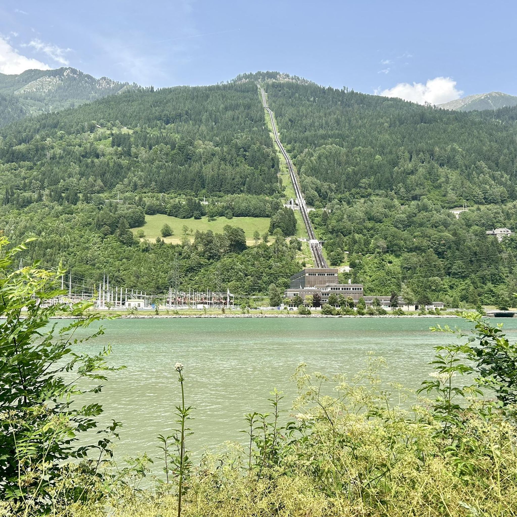
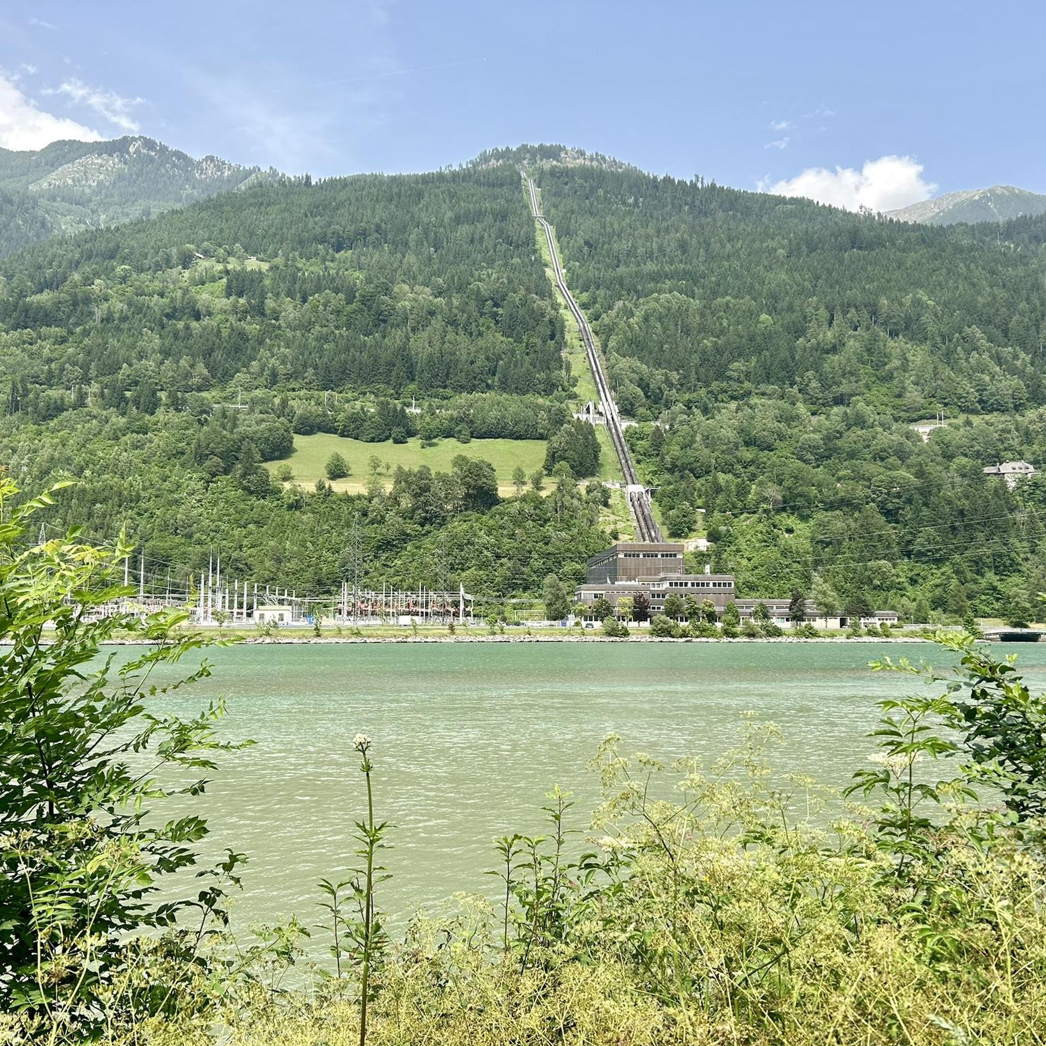
Beyond mountaineering, the region offers a variety of activities. The Möll River is popular for action-packed water sports like rafting and canyoning. For a more relaxed experience, the Glockner Radweg (R8) follows the Möll River, offering a scenic cycling route. You can also visit man-made structures like the Rottau Pumped Storage Power Plant or the Malta-Reisseck Hydroelectric Power Station, or enjoy the serene Möllstaubecken.
Are there options for public transport to access the mountaineering routes?
The Mölltal region has public transport options, but direct access to specific trailheads for mountaineering can vary. It's recommended to research local bus schedules or shuttle services that might connect to popular starting points. For detailed information on regional transport, checking local tourist information or the Visit Mölltal website is advisable.
Are there any regulations or permits required for mountaineering in the Hohe Tauern National Park?
As the routes are within the Hohe Tauern National Park, certain regulations apply to protect the natural environment. While general hiking typically doesn't require permits, specific activities like technical climbing or accessing certain protected zones might. It's always best to consult the official National Park website or local information centers for the most up-to-date rules and any necessary permits, especially for guided tours or alpine climbing.
Most popular routes around Ausgleichsbecken Rottau
Most popular attractions around Ausgleichsbecken Rottau

Get inspired with the komoot mobile app


Explore more
Browse the best Mountain Hikes & Routes in other regions.
