The best walks and hikes around Ausgleichsbecken Rottau
4.6
(888)
4,494
hikers
113
hikes
Hiking around Ausgleichsbecken Rottau offers a diverse landscape characterized by river valleys, canals, and geological formations such as gorges. The region features relatively gentle elevation changes along water bodies, with some routes venturing into more varied terrain. Trails often follow the Möll river and the Sachsenweg Canal, providing opportunities for scenic walks. The area around Ausgleichsbecken Rottau is suitable for exploring natural and historic points of interest.
Best hiking trails around Ausgleichsbecken Rottau
- The most popular hiking route is View…
Last updated: August 18, 2026
4.9
(9)
42
hikers
3.93km
01:02
40m
30m
Easy hike. Great for any fitness level. Easily-accessible paths. Suitable for all skill levels.
4.5
(6)
32
hikers
Easy hike. Great for any fitness level. Easily-accessible paths. Suitable for all skill levels.

Sign up for free
2
hikers
Moderate hike. Good fitness required. Easily-accessible paths. Suitable for all skill levels.
4.6
(141)
513
hikers
2.66km
00:56
150m
150m
Easy hike. Great for any fitness level. Easily-accessible paths. Suitable for all skill levels.
4.6
(141)
513
hikers
2.66km
00:57
150m
150m
Easy hike. Great for any fitness level. Easily-accessible paths. Suitable for all skill levels.
Get access to more routes and recommendations from other explorers.
Sign up for free
Already have an account?
Our route recommendations are based on thousands of hikes, rides, and runs completed by other people on komoot.
Start today with a free account
Your next adventure awaits.
Login or Signup
Popular around Ausgleichsbecken Rottau
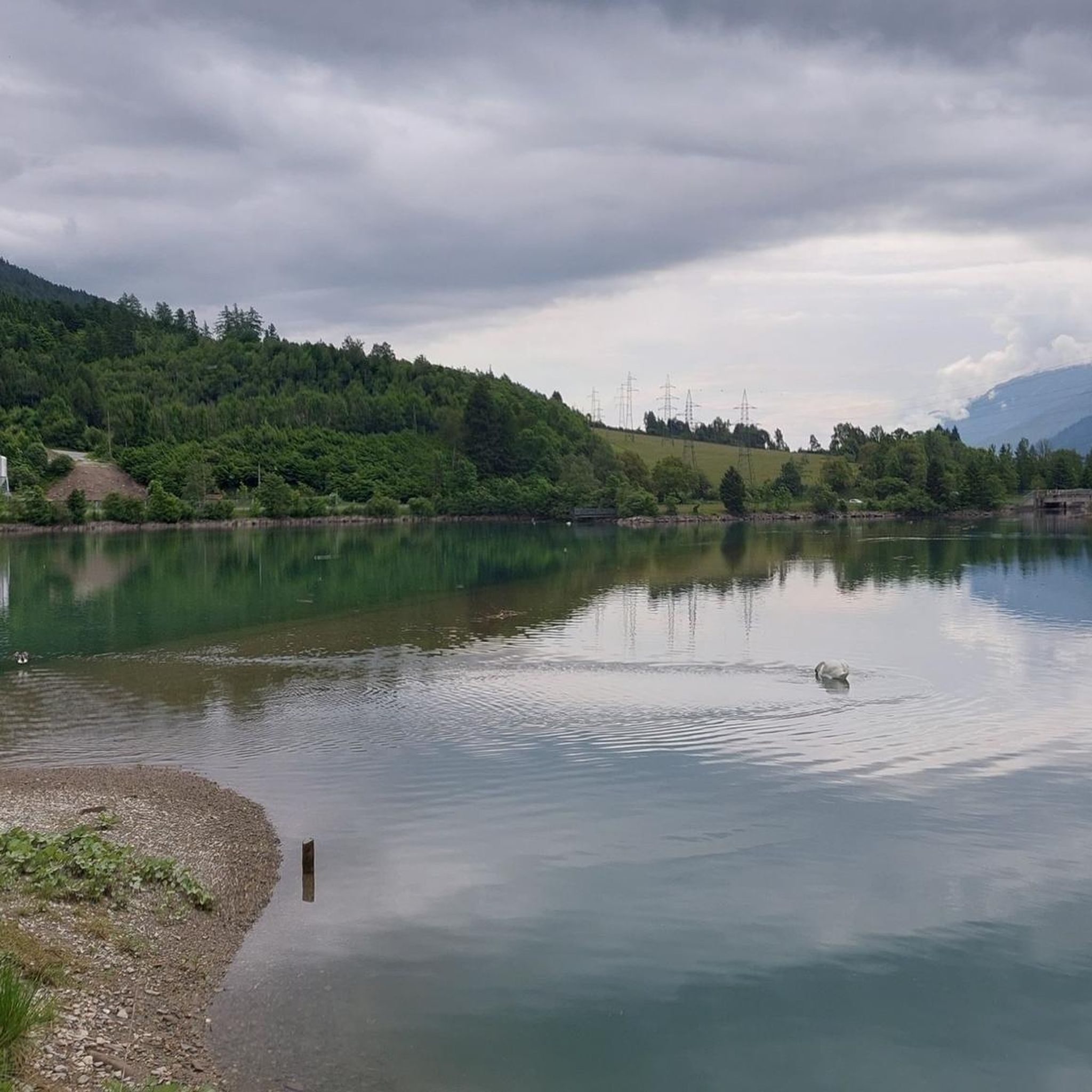
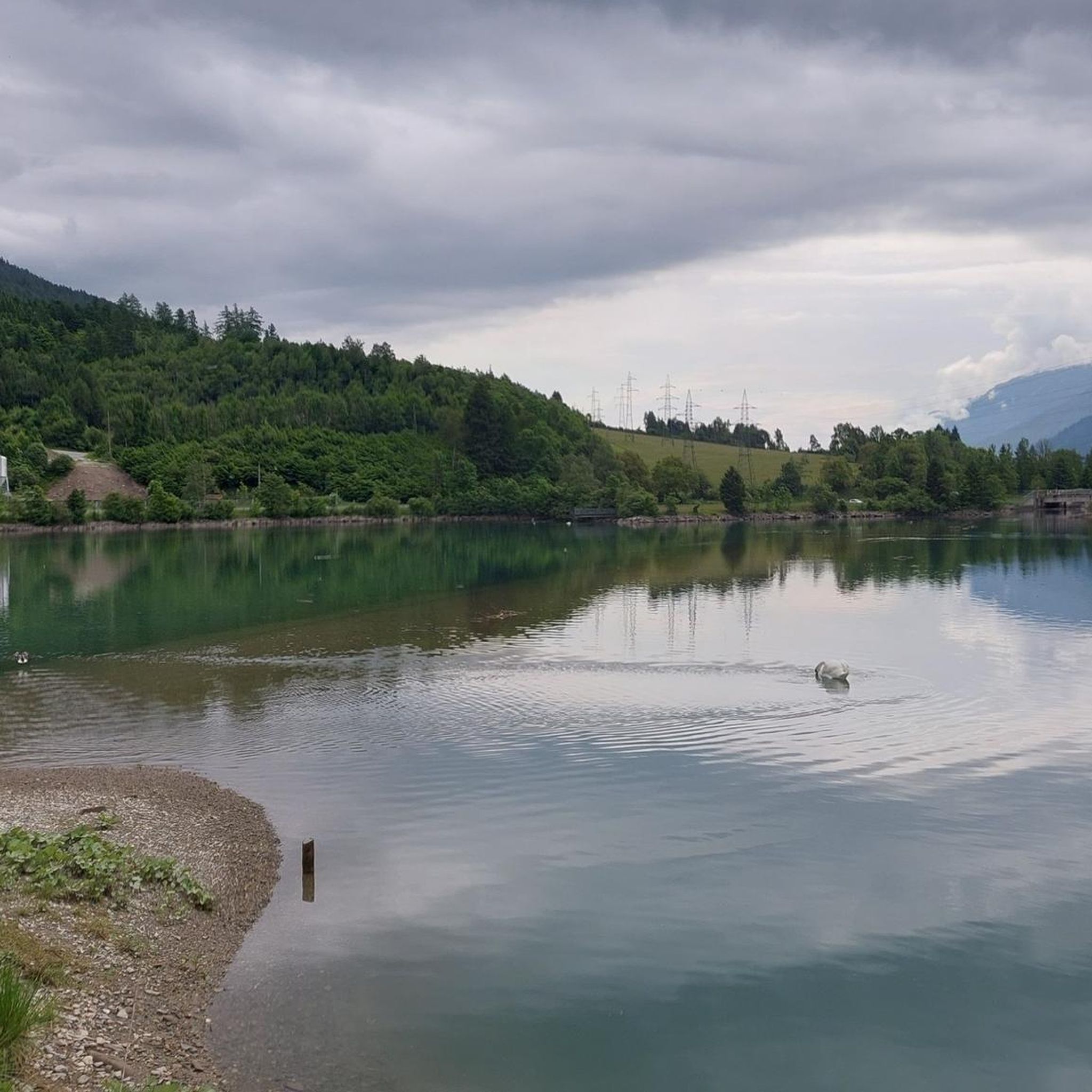
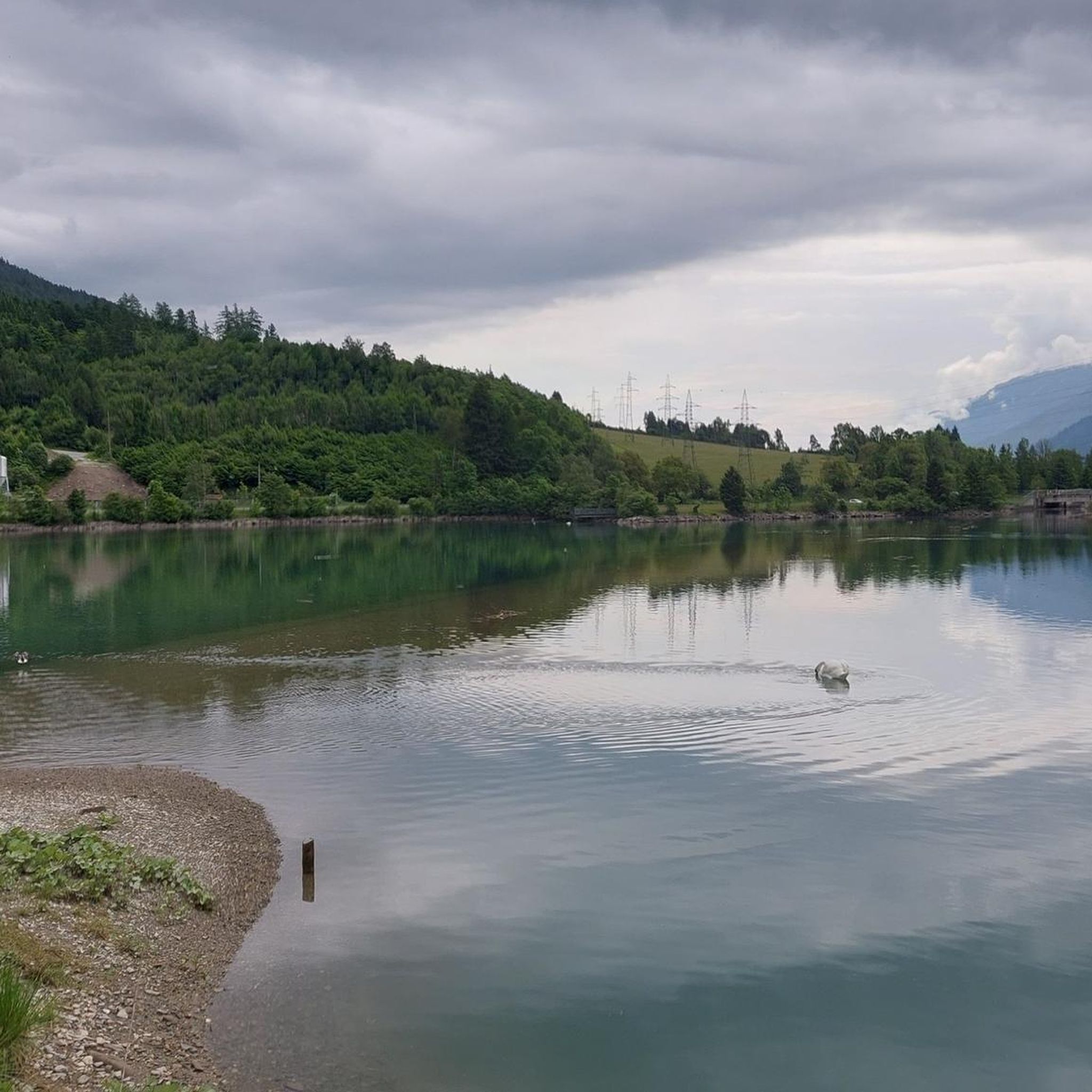
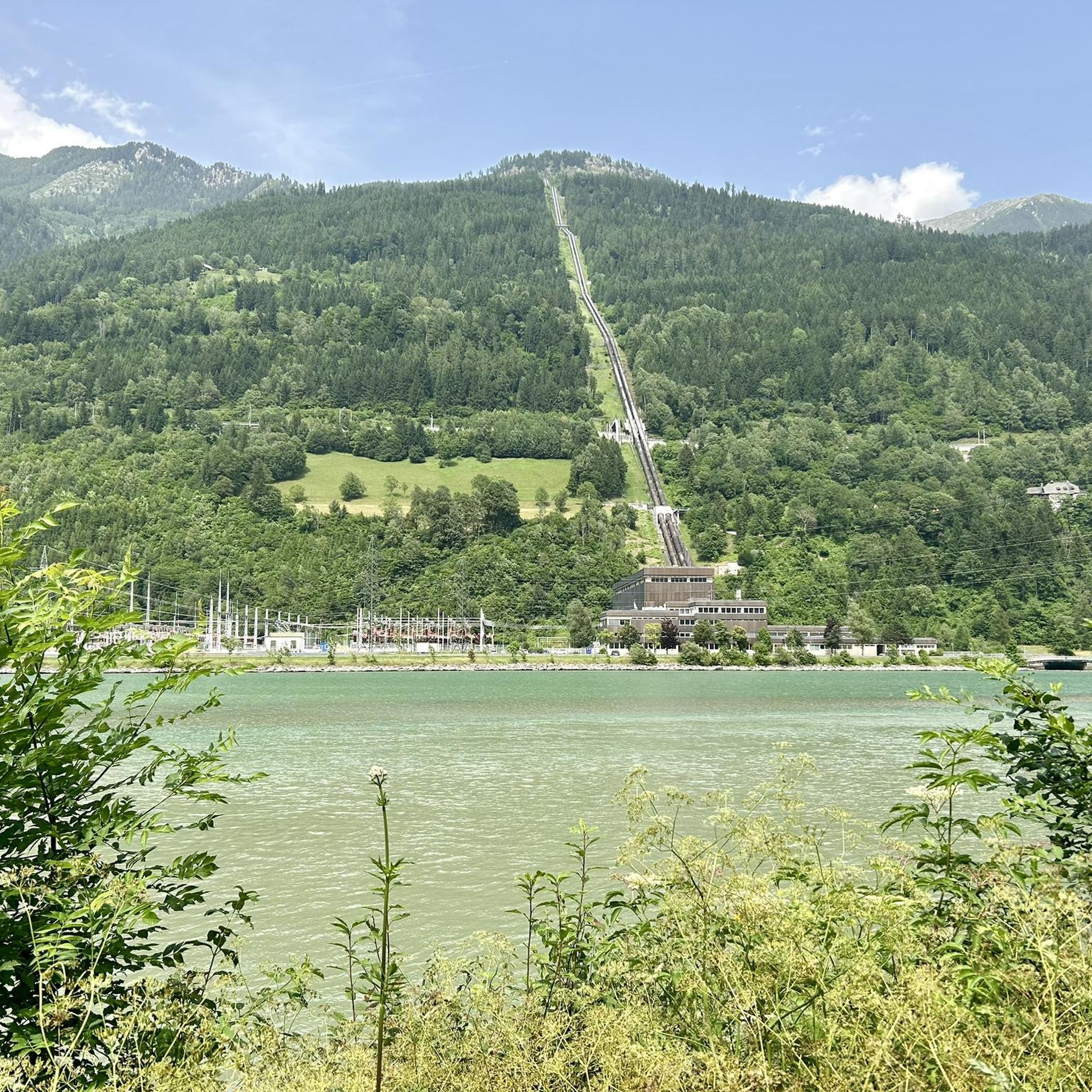

Tips from the Community

The Barbarossa table was renovated in 2004.
0
0
Waterfalls have something magical ... :)
0
0
Waterfalls have something magical :) :)
0
0
Very calming and magically attractive, such a waterfall :)
0
0
One can only guess at what remains of the Klinzer Castle... old foundations provide a rough overview. The history of the castle and the Magic Linden Tree is described on iron plaques.
0
0
Here you get a rough overview of the route with its highlights as well as a short historical summary
0
0
The Barbarossa Gorge is not directly located at the parking lot. To reach the gorge entrance, you have to cross a wooden bridge and a tunnel.
0
0
Mühldorf is a municipality with 1,022 inhabitants in the south of Austria, located in the Spittal an der Drau district of Carinthia. The municipality of Mühldorf lies at the beginning of the Möll Valley.
0
0
Frequently Asked Questions
How many hiking trails are available around Ausgleichsbecken Rottau?
There are over 110 hiking trails around Ausgleichsbecken Rottau, offering a wide range of options for different skill levels. This includes 43 easy routes, 55 moderate routes, and 15 difficult routes.
What interesting sights can I explore while hiking near Ausgleichsbecken Rottau?
The region offers several interesting points of interest. You can discover man-made monuments like the Rottau Pumped Storage Power Plant or the Malta-Reisseck Hydroelectric Power Station. There are also scenic water bodies such as the Möllstaubecken and the Reservoir at the Power Plant, which often feature along the trails.
What do other hikers enjoy most about the trails around Ausgleichsbecken Rottau?
The trails around Ausgleichsbecken Rottau are highly rated by the komoot community, with an average score of 4.6 stars from nearly 800 reviews. Hikers frequently praise the diverse landscape, including river valleys, canals, and geological formations like gorges, as well as the well-maintained paths suitable for various abilities.
Are there easy hiking trails suitable for beginners in Ausgleichsbecken Rottau?
Yes, Ausgleichsbecken Rottau offers many easy trails perfect for beginners. For example, the View of the Sachsenweg Canal loop from Mühldorf is an easy 2.4-mile (3.9 km) route that provides scenic views of the canal and surrounding area.
Are the hiking trails around Ausgleichsbecken Rottau suitable for families with children?
Many trails around Ausgleichsbecken Rottau are suitable for families. The relatively gentle elevation changes along water bodies and well-defined paths make them enjoyable for children. Look for the 'easy' rated routes, which often follow the Möll river or the Sachsenweg Canal, offering pleasant and accessible walks.
Can I bring my dog on the hiking trails in Ausgleichsbecken Rottau?
Generally, dogs are welcome on the hiking trails around Ausgleichsbecken Rottau. However, it's always recommended to keep your dog on a leash, especially in nature protection areas or when encountering wildlife or other hikers. Please also ensure you clean up after your pet.
Are there any circular hiking routes around Ausgleichsbecken Rottau?
Yes, there are several circular routes available. A popular option is the Former Raft Mooring Area – Bridge over the Möll loop from Mühldorf, an easy 3.7-mile (6.0 km) path that follows the Möll river, offering beautiful riverside views.
Where can I find parking for hiking trails around Ausgleichsbecken Rottau?
Parking is generally available at common starting points for trails, particularly in and around Mühldorf. Specific parking information can often be found on the individual komoot tour pages or local signage near trailheads.
What is the best time of year to go hiking around Ausgleichsbecken Rottau?
The hiking season around Ausgleichsbecken Rottau typically extends from spring to autumn, when the weather is mild and the paths are clear. Spring brings lush greenery, while autumn offers vibrant foliage. Summer is also popular, but be prepared for warmer temperatures.
Are there options for winter hiking around Ausgleichsbecken Rottau?
While some trails may be accessible in winter, conditions can vary greatly. Lower elevation paths along the river and canal might be suitable, but higher or more exposed sections could be icy or snow-covered. Always check local conditions and weather forecasts before heading out, and ensure you have appropriate gear.
Are there trails with good viewpoints or particularly scenic sections?
Absolutely. The region is characterized by its scenic river valleys and canals. The Barbarossa Gorge near Mühldorf/Mölltal offers a dramatic natural landscape, while routes along the Möll river provide continuous riverside views.
Are there any longer or more challenging hikes available?
Yes, for those seeking a longer adventure, the Zauberlinde at Klinzer Schloss – Stone Arch Bridge in Austria loop from Mühldorf is a moderate 8.5-mile (13.7 km) trail. It leads through historic landmarks and varied terrain, typically taking around 3 hours 50 minutes to complete.
Are there places to eat or drink near the hiking trails?
You'll find various cafes and restaurants in the nearby towns and villages, such as Mühldorf, which are often convenient starting or ending points for hikes. It's a good idea to check opening times, especially outside of peak season.
Most popular routes around Ausgleichsbecken Rottau
Most popular attractions around Ausgleichsbecken Rottau

Get inspired with the komoot mobile app


Explore more
Browse the best Hikes in other regions.
