The best running trails around Laudachsee
4.2
(275)
7,788
runners
239
runs
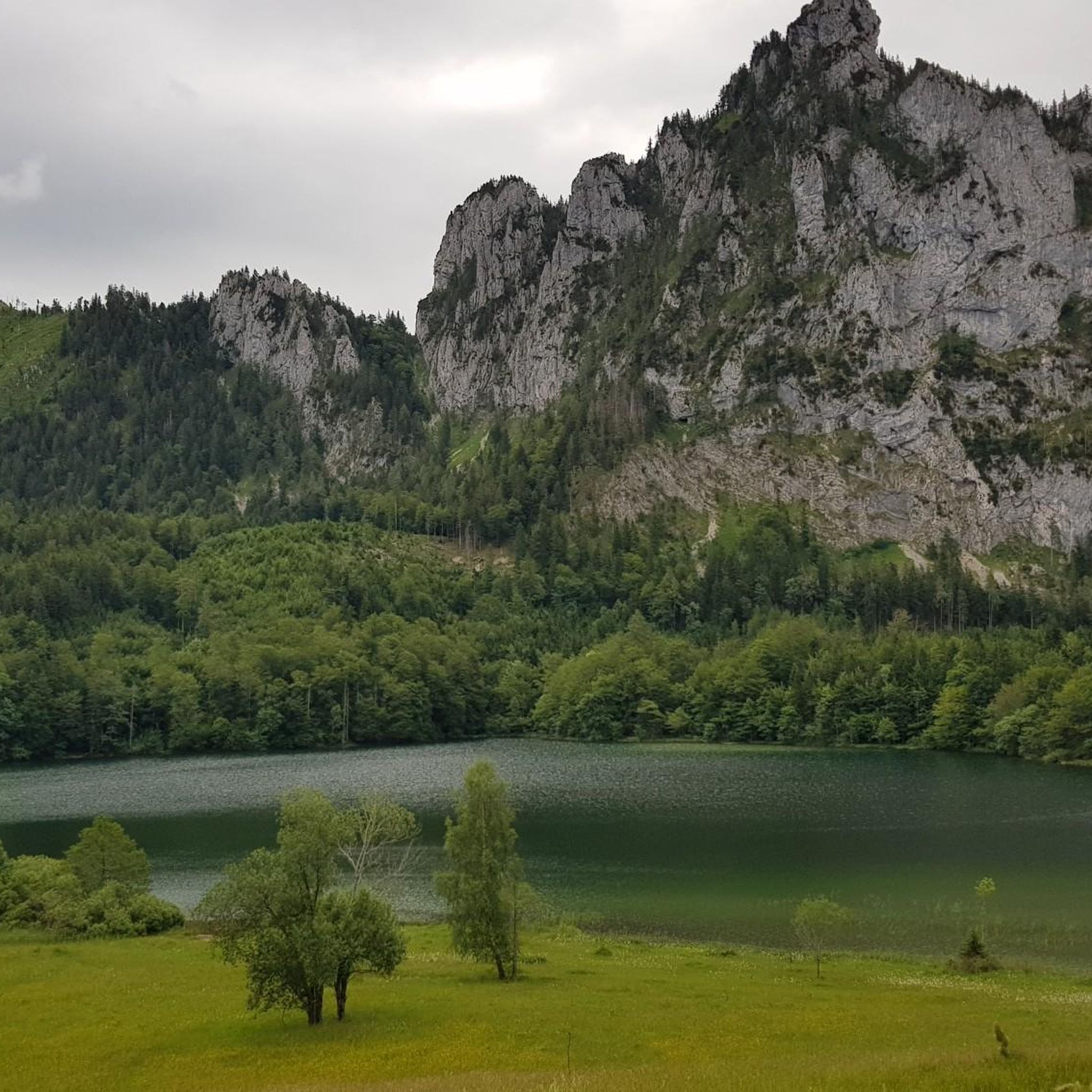
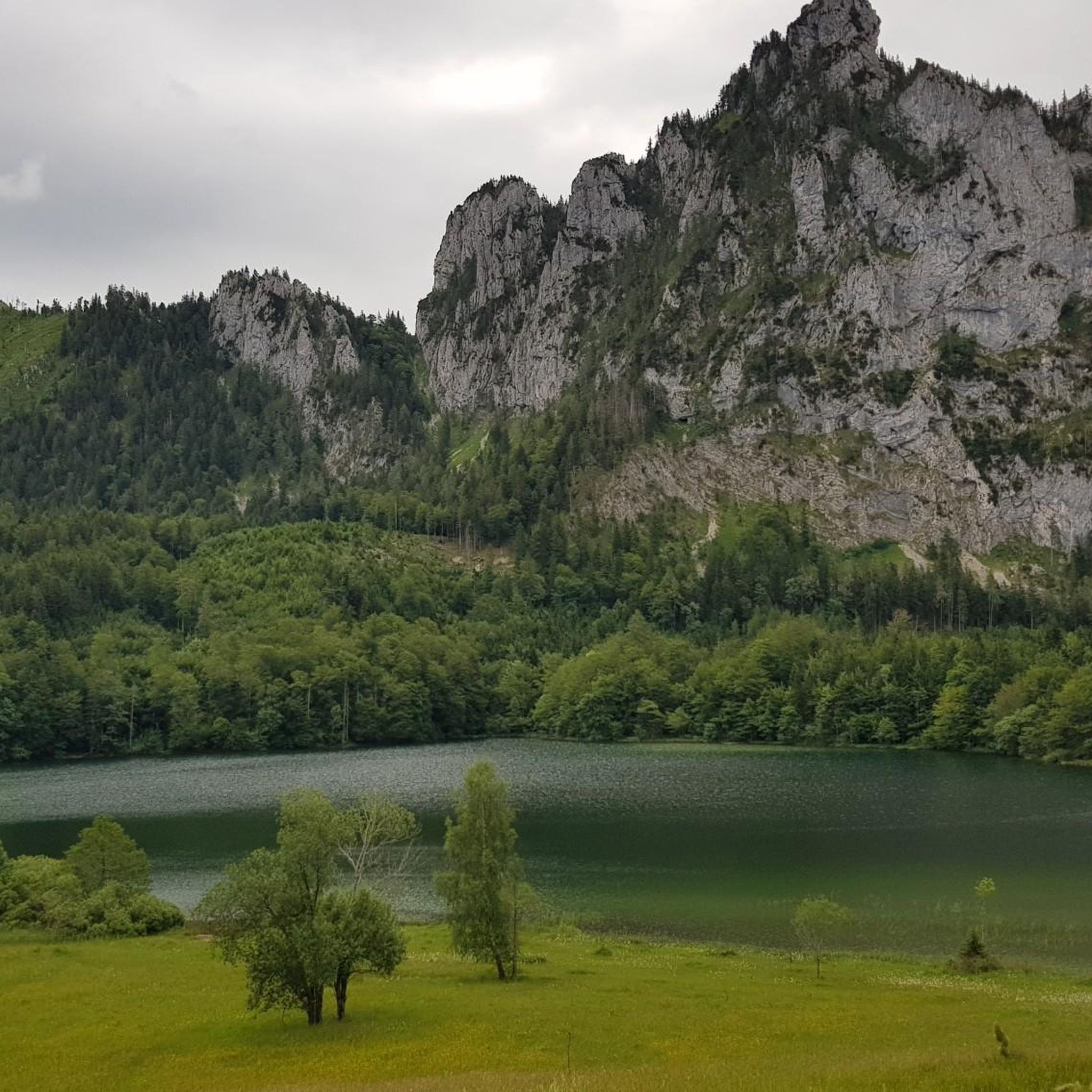
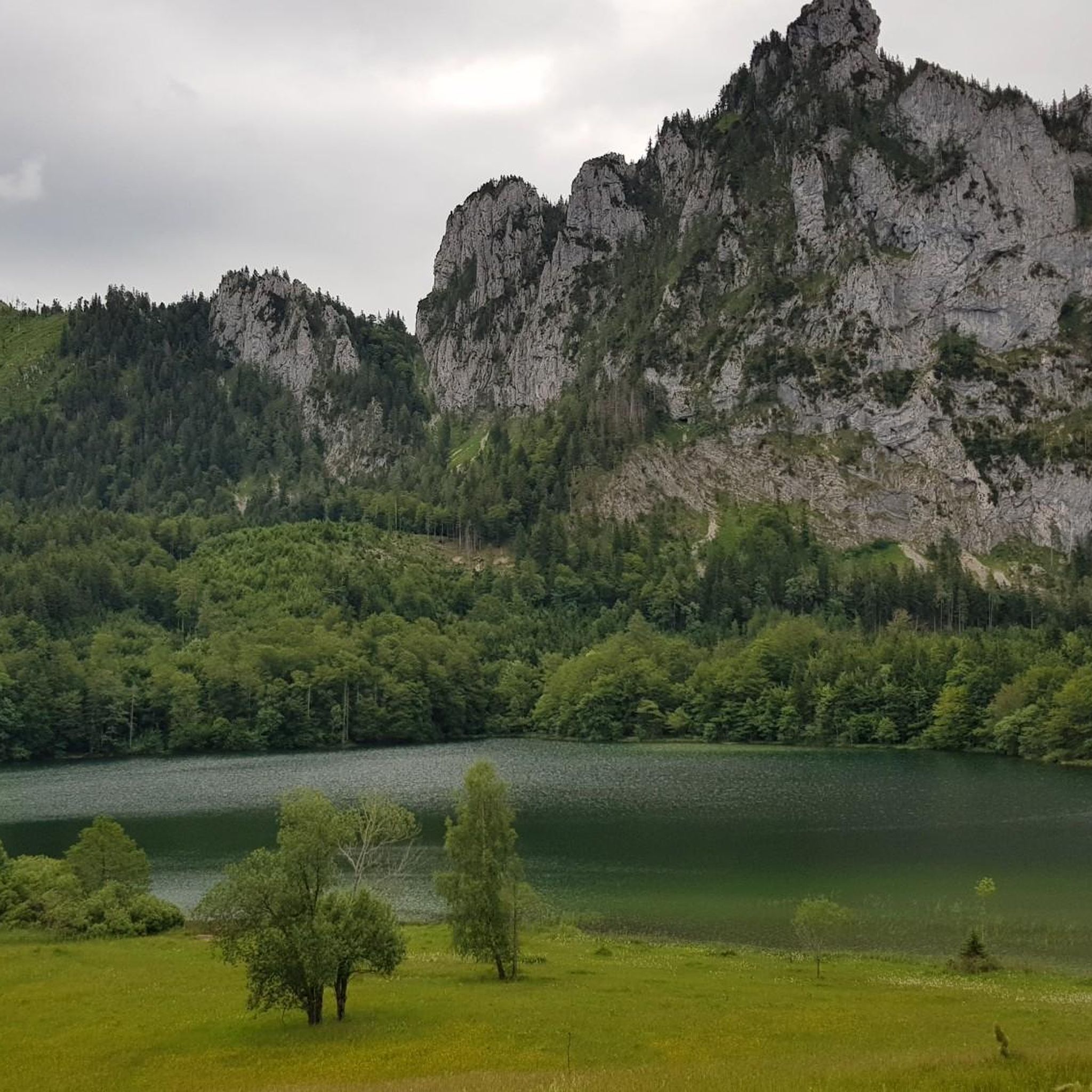
Jogging around Laudachsee offers diverse trails through picturesque landscapes, featuring a clear mountain lake situated at 894 meters above sea level. The region is characterized by a mix of forests, meadows, and paths that provide views of the majestic Traunstein mountain. Elevation changes range from moderate to significant, making it suitable for various fitness levels. The area provides a tranquil setting for running.
Best jogging routes around Laudachsee
- The most popular jogging route is Grünberg – Aussichtsturm Grünberg loop from Franzl im Holz, a 4.8 miles (7.8 km) trail that takes 1 hour 15 minutes to complete. This difficult route offers panoramic views from the Grünberg observation tower.
- Another top favourite among local runners is Lake Laudach – Laudachsee Lakeside Trail loop from Franzl im Holz, a difficult 5.5 miles (8.8 km) path. This route follows the scenic lakeside, winding through natural surroundings.
- Local runners also love the Laudachsee Lakeside Trail – Lake Laudach loop from In der Klamm, a 5.0 miles (8.1 km) trail leading through lakeside paths and forests, often completed in about 1 hour 5 minutes.
- Jogging around Laudachsee is defined by its clear mountain lake, surrounding forests, and views of the Traunstein mountain. The network offers options for different ability levels, from easy lakeside paths to more challenging ascents.
- The routes in Laudachsee are highly rated by the komoot community with an average score of 4.2 stars from over 200 reviews. More than 7000 runners have used komoot to explore Laudachsee's varied terrain.
Last updated: May 20, 2026
5.0
(1)
165
runners
Hard run. Very good fitness required. Sure-footedness, sturdy shoes and alpine experience required.
5.0
(2)
75
runners
8.84km
01:10
320m
320m
Hard run. Very good fitness required. Sure-footedness, sturdy shoes and alpine experience required.

Sign up for free
61
runners
8.06km
01:05
310m
310m
Hard run. Very good fitness required. Sure-footedness, sturdy shoes and alpine experience required.
3.0
(2)
36
runners
Hard run. Very good fitness required. Mostly paved surfaces. Suitable for all skill levels.
13
runners
5.80km
00:47
310m
310m
Hard run. Very good fitness required. Mostly paved surfaces. Suitable for all skill levels.
Get access to more routes and recommendations from other explorers.
Sign up for free
Already have an account?
Our route recommendations are based on thousands of hikes, rides, and runs completed by other people on komoot.
Start today with a free account
Your next adventure awaits.
Login or Signup


Tips from the Community

The sculpture near the Laudachsee on the Traunstein depicts the legendary giant Erla and the nixie (mermaid) Blondchen. The wooden sculpture illustrates the tragic love story of the two. The giant Erla, who lived on the Traunstein, fell in love with the nixie Blondchen from the Laudachsee and built Schloss Ort in the Traunsee for her.
0
0

It's best to drive to the Grünbergalm inn, enjoy a refreshing rest, and then continue on foot along the treetop path until you reach the observation tower.
0
0

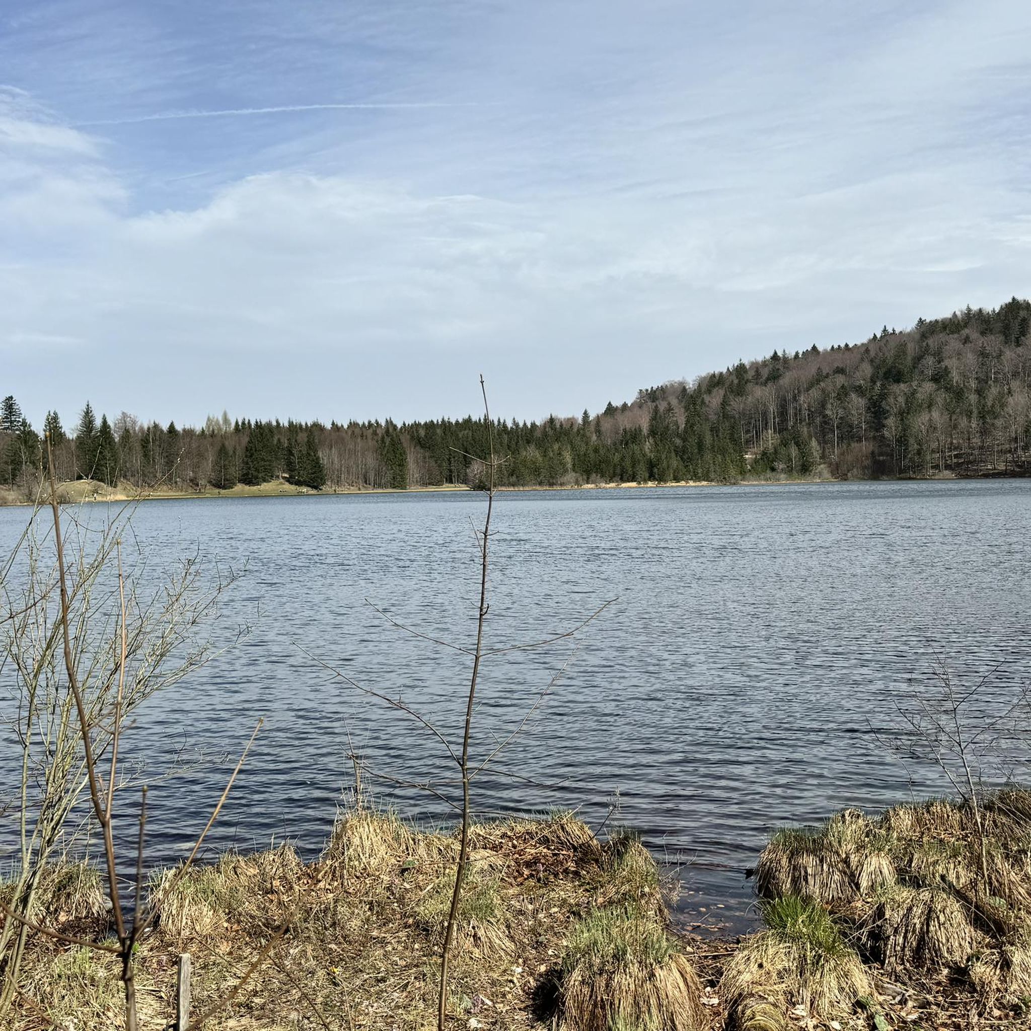
A path leads directly around the lake. However, you should definitely stay on the paths because the surrounding area is very marshy
0
0

You can get here by bike or on foot
0
0

Beautiful mountain lake, well attended, swimming possible
0
0

If you are travelling by mountain bike you should try to be at the top before the first cable car.
0
0

Small, idyllic lake near Gmunden, but very crowded due to its easy accessibility!
0
0
Frequently Asked Questions
How many jogging routes are available around Laudachsee?
The Laudachsee region offers a wide variety of running experiences, with over 240 distinct jogging routes recorded on komoot. These routes cater to different preferences, from scenic lakeside paths to more challenging ascents.
Are there easy running routes suitable for beginners or a relaxed jog?
While many routes around Laudachsee feature significant elevation changes, the area also provides options for easier jogs. The region research indicates paths varying in length and difficulty, including leisurely strolls suitable for families. For a more relaxed experience, look for routes that stick closer to the lake's edge, which tend to have less elevation gain.
What kind of terrain can I expect on the running trails near Laudachsee?
Jogging routes around Laudachsee feature diverse terrain, including paths through forests, meadows, and over small bridges. You'll encounter a mix of surfaces, from well-maintained trails to more natural, rugged sections, all set against the backdrop of the clear mountain lake and views of the majestic Traunstein mountain.
Are there any circular running routes around Laudachsee?
Yes, circular routes are a popular feature in the Laudachsee area. For instance, the Lake Laudach – Laudachsee Lakeside Trail loop from Franzl im Holz offers a scenic 8.8 km path that winds along the lake, providing continuous views of the natural surroundings. Another option is the Laudachsee Lakeside Trail – Lake Laudach loop from In der Klamm, an 8.1 km trail through lakeside paths and forests.
What are the best times of year to go running in Laudachsee?
Laudachsee is appealing year-round for running. Spring and summer offer lush greenery and warmer temperatures, with the lake inviting for a refreshing swim in July and August. Autumn brings vibrant colors to the landscape, while winter transforms the area into a serene, snow-covered setting, perfect for those who enjoy cold-weather running.
Are the running trails around Laudachsee dog-friendly?
Generally, the natural trails around Laudachsee are suitable for dogs, making it a great place to run with your canine companion. However, it's always recommended to keep dogs on a leash, especially in areas with wildlife or near other visitors, and to follow local regulations regarding pet access.
Are there any family-friendly running options in the Laudachsee region?
Yes, the Laudachsee area offers paths suitable for families. While some routes are more challenging, there are also leisurely strolls that can be enjoyed by all ages. These paths often provide easy access to the lake and scenic spots, making them ideal for a family outing that includes some light jogging or walking.
Where can I find refreshments or a place to eat after my run?
After your run, you can find refreshments at the Ramsaualm near the lake. It offers Austrian specialties and fantastic views, providing a perfect spot to rest and refuel. The area around Laudachsee is well-equipped to cater to visitors looking for a post-activity break.
What are some notable viewpoints or natural features to see while jogging?
The Laudachsee region is rich in natural beauty. While running, you'll enjoy breathtaking views of the majestic Traunstein mountain and the clear, green-shimmering mountain lake itself. Routes like the Grünberg – Aussichtsturm Grünberg loop from Franzl im Holz offer panoramic views, including those from the Grünberg observation tower.
What do other runners enjoy most about jogging in Laudachsee?
The running routes in Laudachsee are highly rated by the komoot community, with an average score of 4.2 stars from over 200 reviews. Runners often praise the diverse terrain, the tranquil setting, and the stunning views of the lake and Traunstein mountain. The mix of forests, meadows, and well-marked paths provides a continuously changing and scenic experience.
How can I access the Laudachsee jogging routes, and is there parking available?
Access to Laudachsee is convenient. You can reach the area by foot from the Grünberg cable car mountain station, or via direct routes from Franzl im Holz. While specific parking details are not provided, these access points typically have facilities for visitors. It's advisable to check local signage for parking options upon arrival.
Are there any longer, more challenging running routes for experienced runners?
Yes, for experienced runners seeking a challenge, Laudachsee offers several difficult routes with significant elevation changes. An example is the Hochriedel loop from In der Klamm, which is a demanding 16.7 km trail with over 530 meters of elevation gain, providing a substantial workout amidst beautiful scenery.
Most popular routes around Laudachsee
Most popular attractions around Laudachsee

Get inspired with the komoot mobile app


Explore more
Browse the best Running Trails & Routes in other regions.
