The best mountain hikes around Laudachsee
4.7
(270)
4,373
hikers
60
hikes
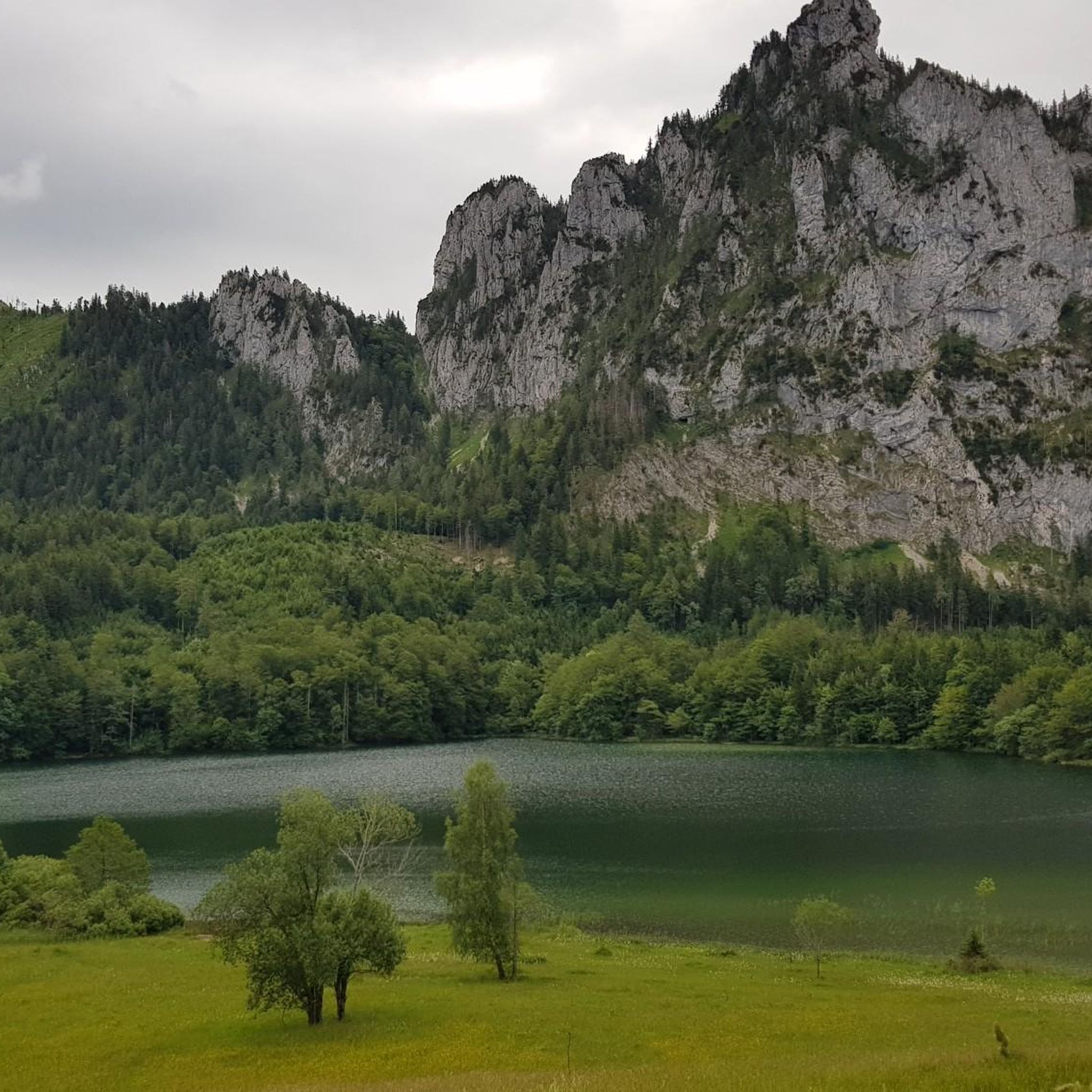
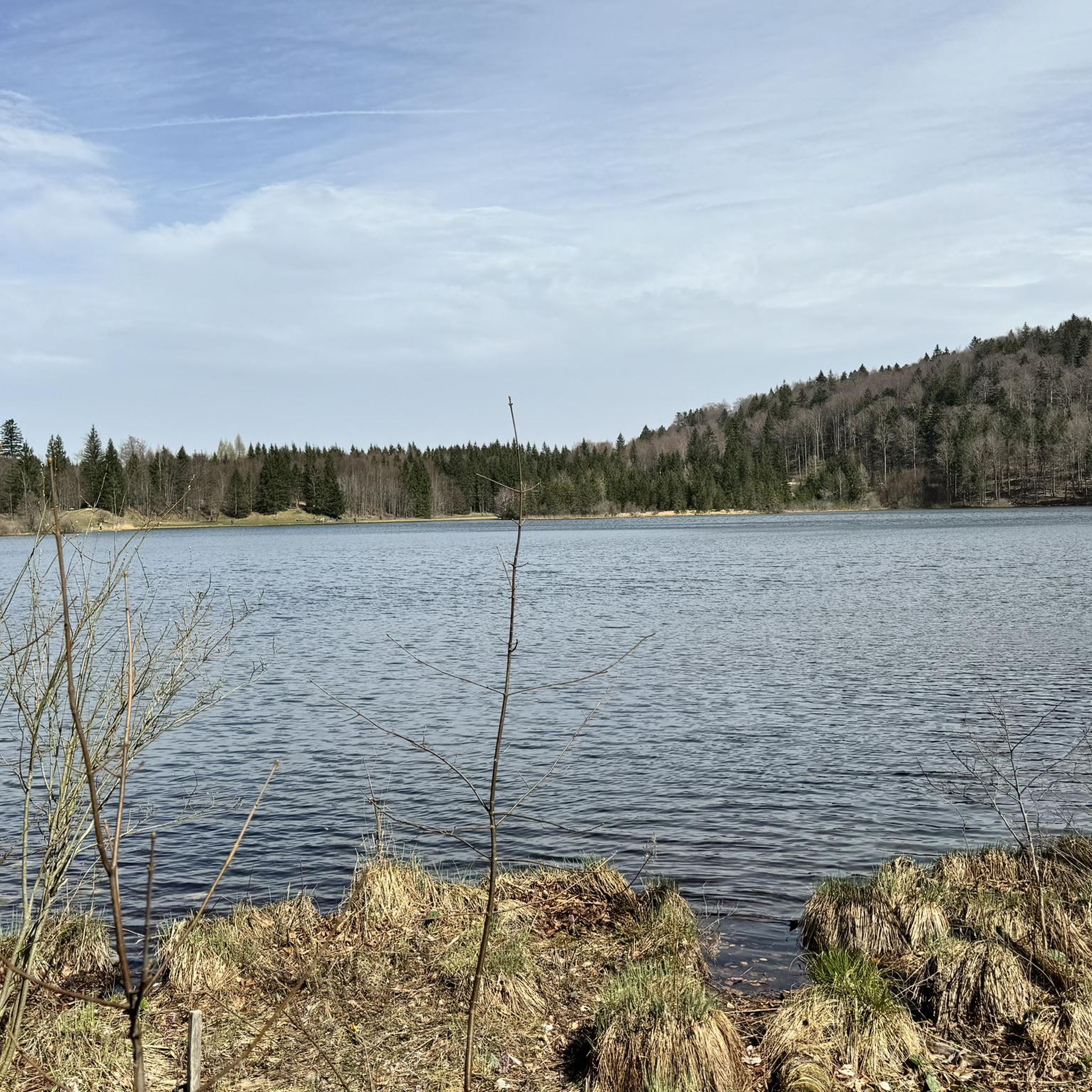
Mountaineering routes around Laudachsee are situated in the Upper Austrian Salzkammergut, an alpine region characterized by the imposing Traunstein mountain and the Grünberg. The crystal-clear Laudachsee itself lies at an elevation of 894 meters above sea level, offering a focal point for routes that traverse forests, meadows, and lead to various summits. The terrain includes both accessible paths and challenging ascents, with significant elevation gains on higher routes.
Best mountaineering routes around Laudachsee
- The most popular mountaineering route is Ramsaualm…
Last updated: October 5, 2026
3.0
(1)
45
hikers
4.34km
02:20
360m
360m
Hard mountaineering route. Good fitness required. Sure-footedness, sturdy shoes and alpine experience required.
3.0
(1)
32
hikers
2.86km
01:53
320m
320m
Hard mountaineering route. Good fitness required. Sure-footedness, sturdy shoes and alpine experience required.

4.8
(12)
159
hikers
10.8km
04:40
650m
650m
Hard mountaineering route. Good fitness required. Sure-footedness, sturdy shoes and alpine experience required.
4.7
(3)
60
hikers
12.4km
04:51
660m
660m
Hard mountaineering route. Good fitness required. Sure-footedness, sturdy shoes and alpine experience required.
5.0
(1)
32
hikers
21.5km
08:00
1,140m
1,140m
Hard mountaineering route. Very good fitness required. Sure-footedness, sturdy shoes and alpine experience required.
Get access to more routes and recommendations from other explorers.
Already have an account?
Our route recommendations are based on thousands of hikes, rides, and runs completed by other people on komoot.
Start today with a free account
Your next adventure awaits.

Tips from the Community

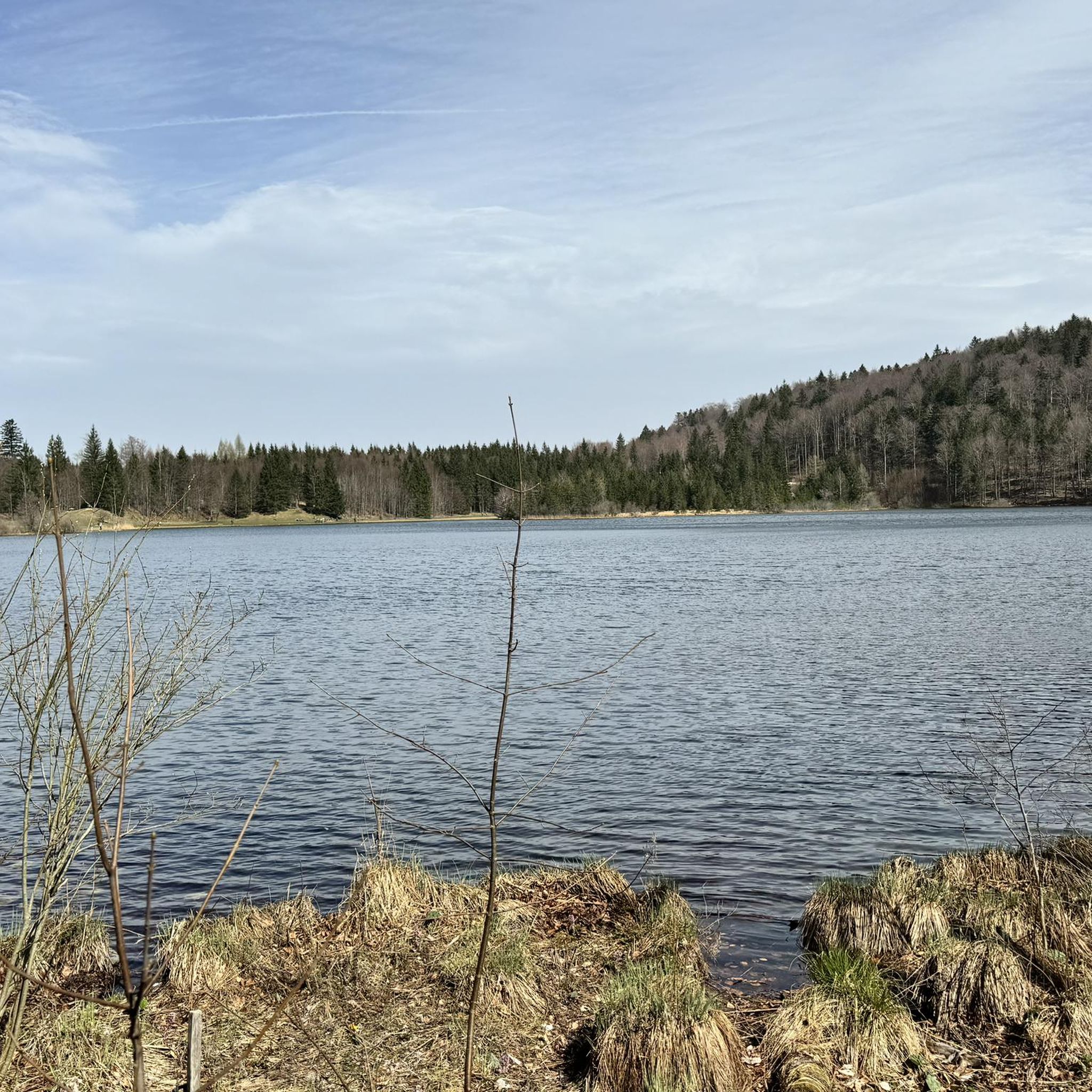
Great destination for an outing, I also recommend swimming (but swim relatively quickly here, as it is very muddy).
0
0

beautiful view of the lake and the Dachstein
0
0

The Lainautunnel is a two-part, 510-meter-long breakthrough through the west wall of the Traunstein, as well as a bridge over the Lainau. It is accessible to foresters and hikers.
0
0

It goes almost vertically upwards and is very well secured with footholds and steel cables, making it easy to walk on.
0
0

The climb is mostly a challenge on all fours over many roots and rocks for experienced hikers.
2
0
There are benches at various viewing points for resting.
2
0
For experienced mountain hikers, it is a great ascent in the Gamsluck'n, mostly on all fours, with fantastic views from the summit to the Totes Gebirge, Dachstein massif, and Höllengebirge.....
2
0
The self-service menu offers excellent service. There's plenty of outdoor seating, and you can enjoy the magnificent view of the lake and Katzenstein.
1
0
Frequently Asked Questions
How many mountaineering routes are available around Laudachsee?
There are over 60 mountaineering routes available around Laudachsee, catering to various skill levels. The komoot community has explored these trails over 4000 times, highlighting the area's popularity for outdoor adventures.
What kind of terrain can I expect on mountaineering routes near Laudachsee?
The terrain around Laudachsee is diverse, ranging from accessible paths through forests and meadows to challenging ascents with significant elevation gains. You'll find well-marked trails, some leading to impressive summits like the Katzenstein, and others offering more leisurely strolls around the lake itself.
Are there any family-friendly mountaineering options around Laudachsee?
While many routes are challenging, there are easier paths suitable for families. The idyllic circular trail around Laudachsee itself is a great option, taking about 40 minutes. Additionally, a wide forest road from the Grünberg cable car mountain station leads to the lake in about an hour, which is also ideal for leisurely family walks.
Can I bring my dog on the mountaineering trails?
The region around Laudachsee is generally welcoming to dogs, but it's always advisable to keep them on a leash, especially in nature reserve areas and near livestock. Ensure your dog is fit for the chosen route, as some trails involve challenging terrain and significant elevation changes.
What are some notable landmarks or viewpoints to see along the routes?
The area offers breathtaking panoramic views, especially of the mighty 1,691-meter Traunstein mountain. You can enjoy these vistas from various points along the trails and from the Ramsaualm mountain hut. The crystal-clear Laudachsee itself is a stunning natural feature, and routes often lead to summit crosses like the Katzenstein Summit Cross (1,349 m).
Are there any circular mountaineering routes available?
Yes, there are several circular routes. For example, the difficult route Ramsaualm at Laudachsee – Katzenstein Summit Cross (1,349 m) loop from Laudachsee offers a rewarding circular experience. Another option is the Katzenstein Summit Cross (1,349 m) – Ramsaualm at Laudachsee loop from In der Klamm, which takes you through alpine forests and open areas.
What is the best time of year for mountaineering in Laudachsee?
Laudachsee is a year-round attraction. While summer offers pleasant temperatures for bathing in the lake and clear conditions for higher routes, autumn provides vibrant colors, and winter transforms the landscape into an enchanted wonderland. Always check current weather and trail conditions, especially for higher, more challenging routes.
Are there places to eat or rest along the mountaineering routes?
Yes, the cozy Ramsaualm mountain hut is located directly on Lake Laudach. It's a perfect spot for refreshments after a hike, offering hearty Austrian specialties and wonderful panoramic views of the Traunstein.
How can I reach the mountaineering trailheads using public transport?
The Grünberg mountain, where Laudachsee is located, is easily accessible via the Grünberg cable car, which transports visitors up to 1,004 meters above sea level. This provides convenient access to many trailheads in the area, making it appealing for day trips.
What is the difficulty level of the mountaineering routes around Laudachsee?
The routes around Laudachsee offer a range of difficulties. You'll find moderate options, such as the Lake Laudach – Ramsaualm at Laudachsee loop from In der Klamm, as well as many difficult routes. For instance, the Katzenstein Window – Katzenstein Summit Cross (1,349 m) loop from Traunstein is a challenging path featuring varied terrain.
What do other mountaineers enjoy most about the routes in Laudachsee?
The area is highly rated by the komoot community, with an average score of 4.7 stars. Reviewers often praise the stunning natural beauty, the clear waters of Laudachsee, and the breathtaking panoramic views of the Traunstein mountain. The diverse network of trails, from easy walks to demanding ascents, is also frequently highlighted.
Are there any particularly long or challenging mountaineering routes?
For experienced adventurers seeking a longer challenge, the Ramsaualm at Laudachsee – Katzenstein Summit Cross (1,349 m) loop from Franzl im Holz is a difficult route spanning over 21 kilometers with significant elevation changes, typically taking around 8 hours to complete.
Most popular routes around Laudachsee

Get inspired with the komoot mobile app


Explore more
Browse the best Mountain Hikes & Routes in other regions.
