The best mountain hikes around Gepatsch Stausee
4.6
(28)
327
hikers
13
hikes
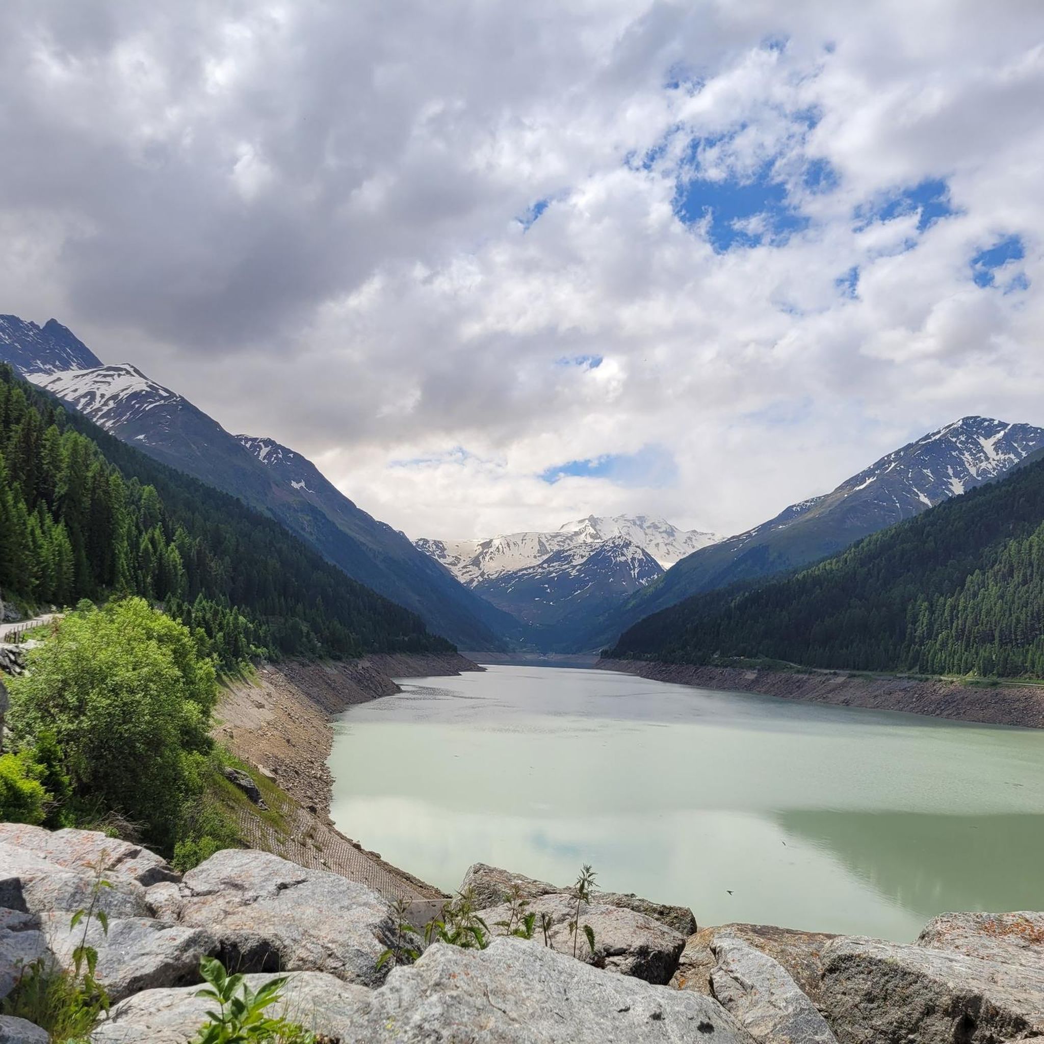
Mountaineering routes around Gepatsch Stausee are situated within the Ötztal Alps, offering diverse alpine terrain in the Kaunertal valley. The region features the impressive Gepatsch Stausee reservoir and dam, set against a backdrop of numerous 3000-meter peaks. The landscape transitions from verdant valleys to high-alpine rock and ice formations, including the significant Gepatschferner glacier. This area provides a range of challenges for mountaineers, from demanding high-alpine tours to ascents of prominent summits.
Best mountaineering routes around Gepatsch Stausee
- The most…
Last updated: May 11, 2026
5.0
(2)
23
hikers
2.48km
01:22
170m
170m
Hard mountaineering route. Great for any fitness level. Sure-footedness, sturdy shoes and alpine experience required.
12
hikers
Hard mountaineering route. Good fitness required. Sure-footedness, sturdy shoes and alpine experience required.

Sign up for free
5.0
(1)
9
hikers
Moderate mountaineering route. Good fitness required. Mostly accessible paths. Sure-footedness required.
5.0
(8)
34
hikers
8.29km
04:32
770m
770m
Moderate mountaineering route. Good fitness required. Mostly accessible paths. Sure-footedness required.
8
hikers
10.2km
05:23
740m
730m
Hard mountaineering route. Very good fitness required. Sure-footedness, sturdy shoes and alpine experience required.
Get access to more routes and recommendations from other explorers.
Sign up for free
Already have an account?
Our route recommendations are based on thousands of hikes, rides, and runs completed by other people on komoot.
Start today with a free account
Your next adventure awaits.
Login or Signup
Other adventures around Gepatsch Stausee

Tips from the Community

The glacier is visible from the parking lot, but you can also get closer. Above, you can compare its current state with the past. It has receded significantly.
0
0

Here (now 2024) stands the Visholo. It shows the extent of the glacier in the early 1900s
0
0

The via ferrata contains two wooden bridges over the waterfall. These are sufficiently stable for the difficulty level “B”.
0
0

Super nice, small DAV hut with a total of only 21 beds. The DAV Frankfurt hut is managed voluntarily by two section members every two weeks. This creates a very unique atmosphere. The stay was fantastic and is highly recommended! Even the outdoor shower is warmer than you think ;-)
0
0
Depending on how early you start at the Rauhekopfhütte and how quickly you rope up, you can catch the first rays of sunshine on the ice.
0
0
An absolutely worthwhile high-altitude tour destination starting from the Rauhekopfhütte. The ascent takes place over the mighty Gepatschferner.
0
0
A massive rock that towers beautifully over the glacier. The straight edge is very reminiscent of the Preikestolen in Norway - only here it is above the ice!
0
0

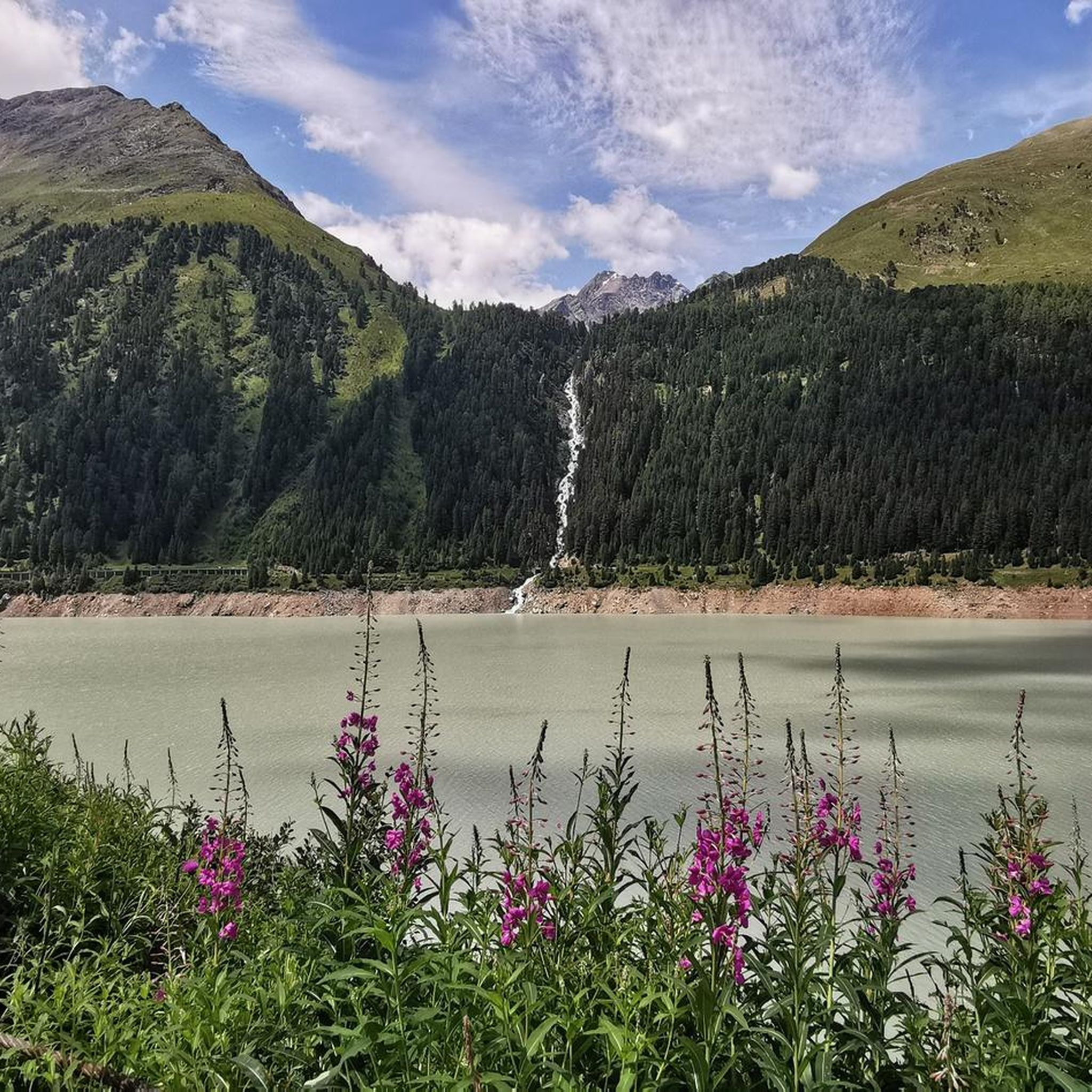
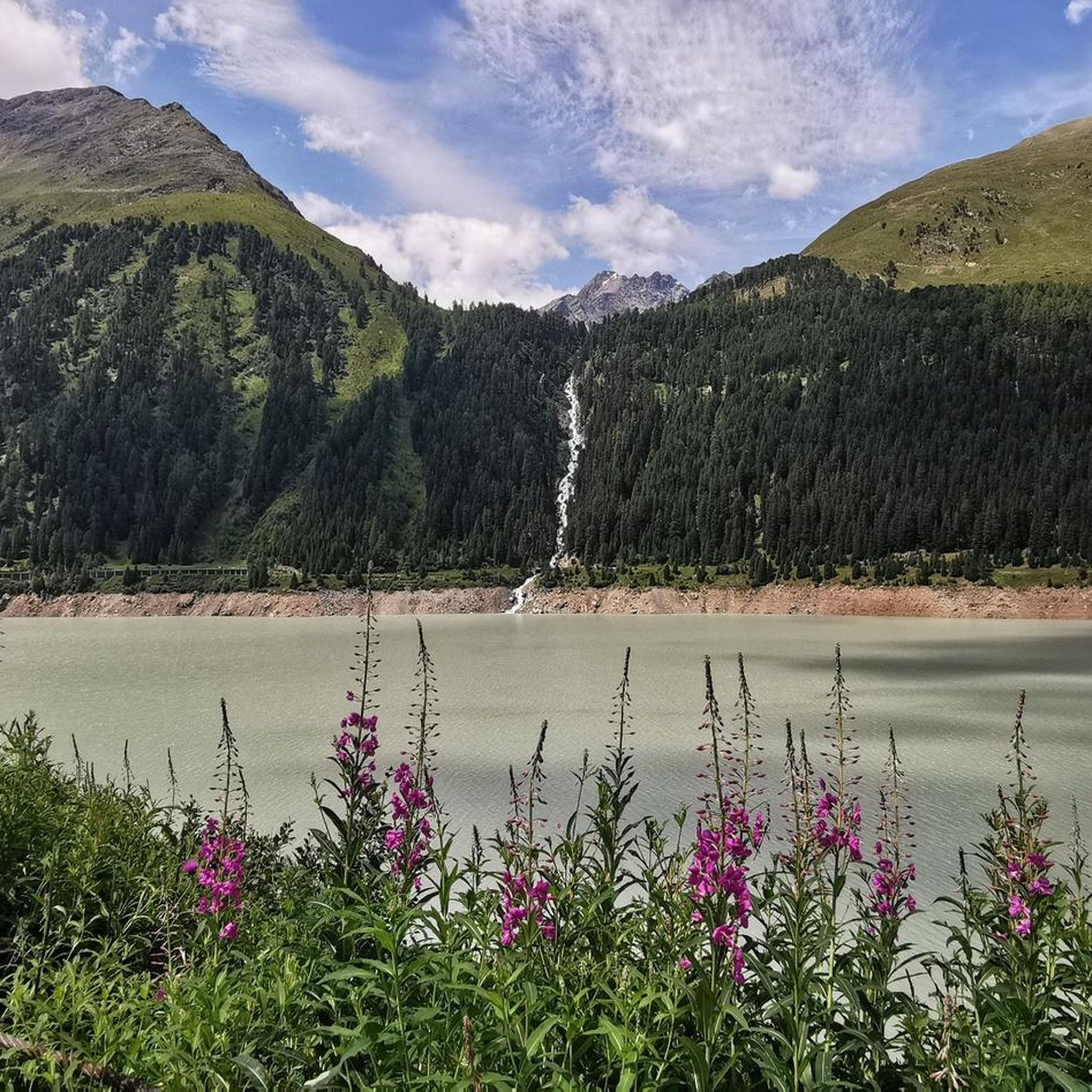
Impressive waterfall of the Riffelbach. Several adventurous bridges cross the waterfall and on hot summer days a fine spray ensures pleasant cooling.
3
0
Frequently Asked Questions
How many mountaineering routes are available around Gepatsch Stausee?
There are nearly 20 mountaineering routes around Gepatsch Stausee listed on komoot, offering a wide range of challenges from moderate ascents to demanding high-alpine expeditions. The region is known for its diverse alpine terrain within the Ötztal Alps.
What kind of terrain can I expect on mountaineering routes in this area?
The terrain around Gepatsch Stausee is incredibly varied, transitioning from lush green meadows and ancient stone pine forests in the valleys to high-alpine rock and ice formations, including the significant Gepatschferner glacier. You'll encounter everything from well-trodden paths to challenging glacier crossings and rocky ascents.
Are there any circular mountaineering routes near Gepatsch Stausee?
Yes, several routes offer a circular experience. For a challenging high-alpine option, consider the Weißseespitze Summit loop from Rauhekopfhütte, which is a difficult 10.2 km tour. Another option is the Kaunergrat Hut – Plangerosskopf (3,053 m) loop from Kaunergrathütte, a difficult but shorter 2.8 km route.
What are some notable natural features or landmarks to see while mountaineering here?
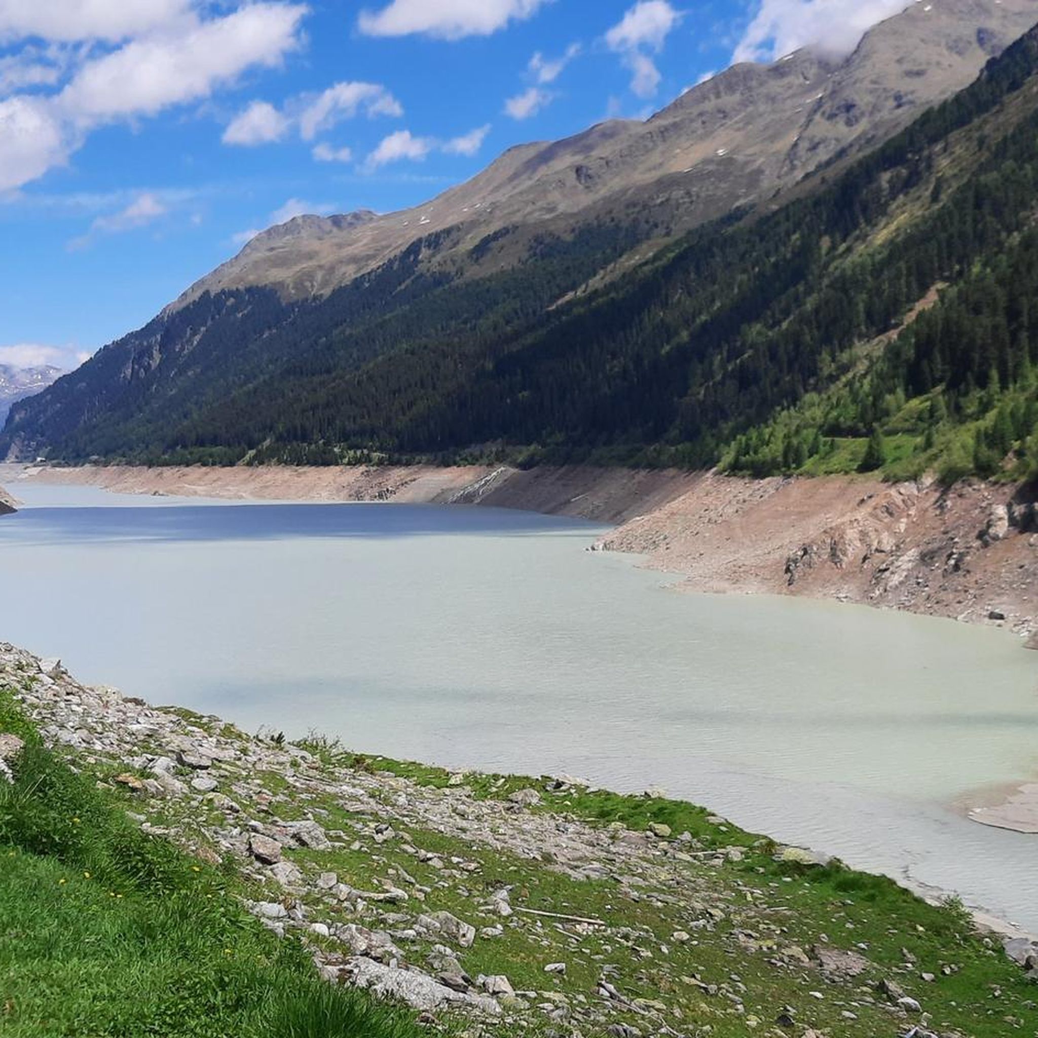
The region is rich in natural beauty. You can see the impressive Gepatsch Reservoir itself, set against a stunning mountain backdrop. The Kaunertal Glacier Road Ascent offers breathtaking panoramic views, and the Bliggbach Waterfall is another beautiful sight. The Gepatschferner glacier, Austria's second-largest, is a major highlight, offering unique high-alpine experiences.
Are there any beginner-friendly mountaineering options?
While many routes are challenging, there are moderate options that can be suitable for those with some alpine experience and good fitness. For instance, the Mountaineering loop from Gepatschhaus is rated moderate and provides access to high-alpine environments from a historic base. Always ensure you have appropriate gear and assess your own capabilities.
What is the best time of year for mountaineering around Gepatsch Stausee?
The best time for mountaineering typically spans from late spring to early autumn (June to September), when snow conditions are generally more stable and weather is more predictable. However, high-alpine routes, especially those involving glaciers, may require specific ice equipment and experience even in summer. Always check local weather forecasts and trail conditions before heading out.
What do other mountaineers enjoy most about the routes in Gepatsch Stausee?
The area is highly rated by the komoot community, with an average score of 4.7 stars from over 30 reviews. Reviewers often praise the stunning high-alpine scenery, the challenging yet rewarding ascents to prominent peaks, and the unique experience of exploring the Gepatschferner glacier. The diverse range of routes catering to different skill levels is also frequently highlighted.
Can I bring my dog on the mountaineering routes?
Many trails in the Kaunertal valley and Kaunergrat Nature Park are dog-friendly, but it's crucial to check specific route regulations, especially in protected areas or on high-alpine tours where terrain can be challenging for pets. Always keep your dog on a leash, especially near livestock or wildlife, and ensure they are fit enough for the chosen route.
Are there options for family-friendly mountaineering?
While many mountaineering routes in this region are demanding, some moderate trails might be suitable for families with older, experienced children who are accustomed to alpine hiking. For example, the Kleiner Nörderberg Summit loop from Kaunertal Oberbirg is a moderate path that offers summit views and varied mountain terrain. Always prioritize safety and choose routes appropriate for the fitness and experience level of all family members.
Where can I find parking for mountaineering routes?
Parking is generally available at key trailheads and access points along the Kaunertal Glacier Road. For routes starting near the Gepatschhaus, there is parking available. The Kaunertal Glacier Road itself provides access to higher elevations, facilitating starting points for many tours. Specific parking information can often be found on individual route descriptions or local tourist information sites.
Are there any huts or refuges along the routes for overnight stays or refreshments?
Yes, the Gepatschhaus, located at 1,928 m, is the oldest Alpine Club hut in Austria and serves as an important base for mountaineers. It offers accommodation and refreshments, making it a strategic point for starting or ending high-alpine adventures. Other huts may also be accessible depending on the specific route chosen.
What level of difficulty can I expect from the mountaineering routes?
The routes around Gepatsch Stausee range from moderate to difficult. Komoot lists 6 moderate routes and 11 difficult routes. Difficult routes, such as the Weißseespitze Summit loop from Rauhekopfhütte, often require basic ice equipment, sure-footedness, and alpine experience. Moderate routes, like the Riffljoch (3,149 m) loop from Kaunertal Abzw Riffeltal, still demand good physical condition and sturdy shoes.
Most popular routes around Gepatsch Stausee
Most popular attractions around Gepatsch Stausee

Get inspired with the komoot mobile app


Explore more
Browse the best Mountain Hikes & Routes in other regions.
