The best walks and hikes around Gepatsch Stausee
4.7
(1838)
10,147
hikers
14
hikes
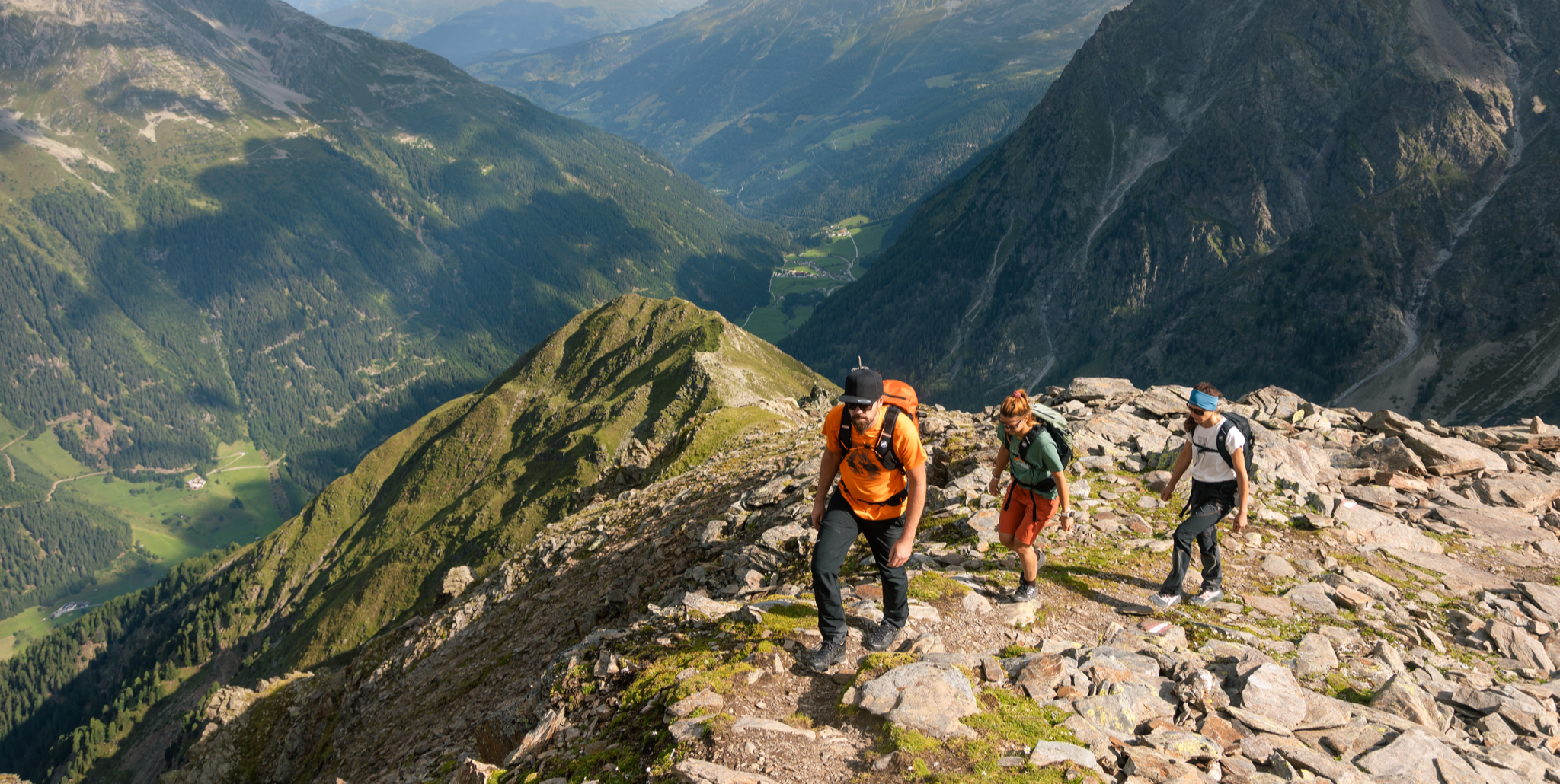
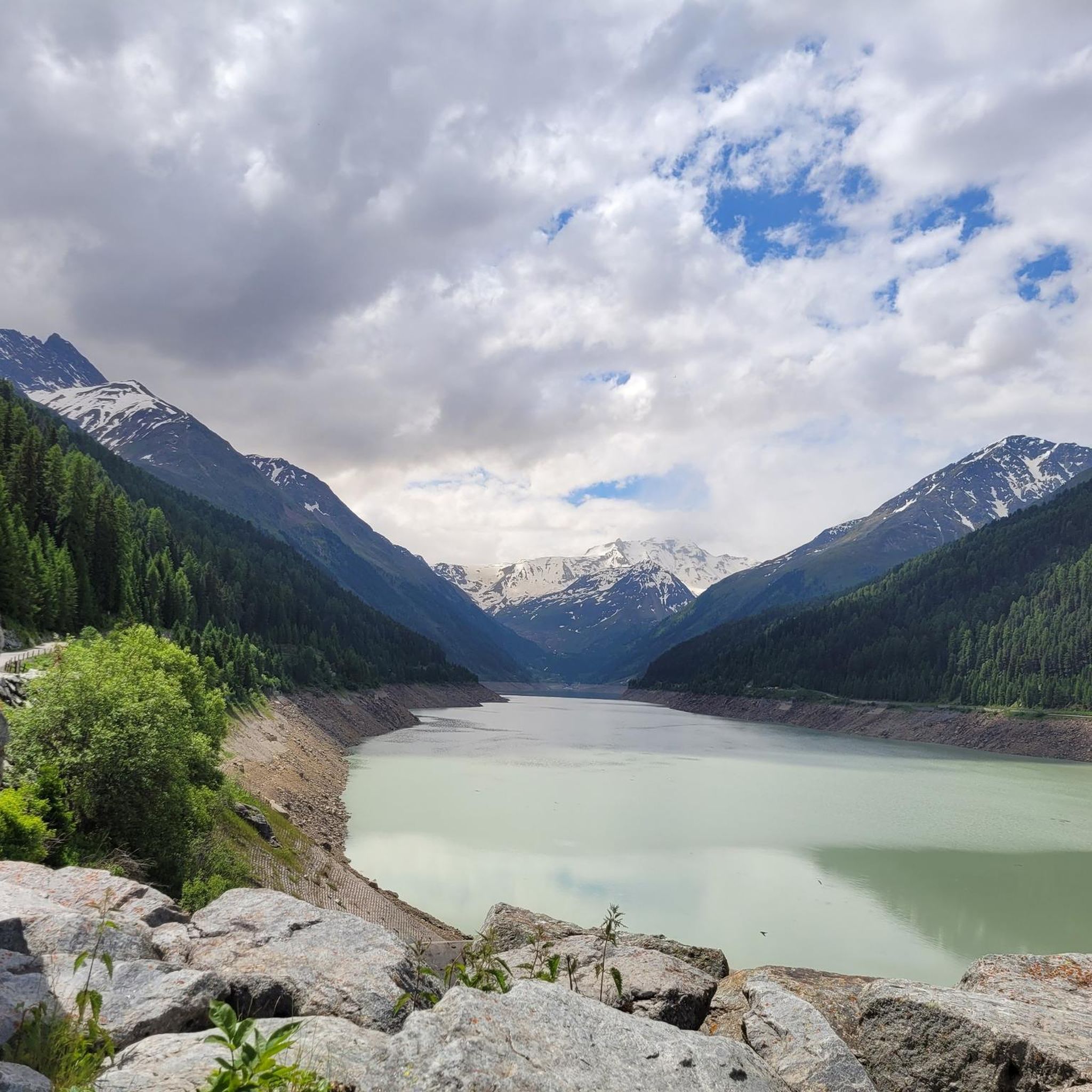
Hiking trails around Gepatsch Stausee are set within the Kaunertal valley in Tyrol, Austria, characterized by diverse alpine environments. The region features significant glacial formations, including the Gepatschferner glacier, and ancient stone pine forests. Hikers encounter lush alpine meadows that transition into the rugged peaks of the Ötztal Alps, which include 84 three-thousand-meter peaks. The landscape also incorporates mountain lakes, waterfalls, and unique moor landscapes within the Kaunergrat Nature Park.
Best hiking trails around Gepatsch Stausee
- The most popular hiking…
Last updated: May 10, 2026
4.7
(23)
71
hikers
8.68km
03:49
610m
480m
Moderate hike. Good fitness required. Mostly accessible paths. Sure-footedness required.
4.7
(23)
71
hikers
8.62km
03:43
580m
460m
Hike the moderate Stone pine trail in Kaunergrat Nature Park, exploring ancient stone pine forests and enjoying alpine views over 5.4 miles.

Sign up for free
4.9
(10)
37
hikers
4.03km
01:24
240m
240m
Easy hike. Great for any fitness level. Easily-accessible paths. Suitable for all skill levels.
4.8
(5)
38
hikers
7.63km
02:27
330m
330m
Moderate hike. Good fitness required. Easily-accessible paths. Suitable for all skill levels.
5.0
(6)
20
hikers
4.99km
02:04
320m
320m
Moderate hike. Good fitness required. Mostly accessible paths. Sure-footedness required.
Get access to more routes and recommendations from other explorers.
Sign up for free
Already have an account?
Our route recommendations are based on thousands of hikes, rides, and runs completed by other people on komoot.
Start today with a free account
Your next adventure awaits.
Login or Signup
Other adventures around Gepatsch Stausee

Tips from the Community

Great service, friendly family and delicious food.
0
0

Super nice alpine pasture, good food and very friendly hosts
0
0

The Hapmes hunting lodge is located at an altitude of 2,117 meters and is a perfect resting place after a pleasant hike through the beautiful mountain forest.
1
0

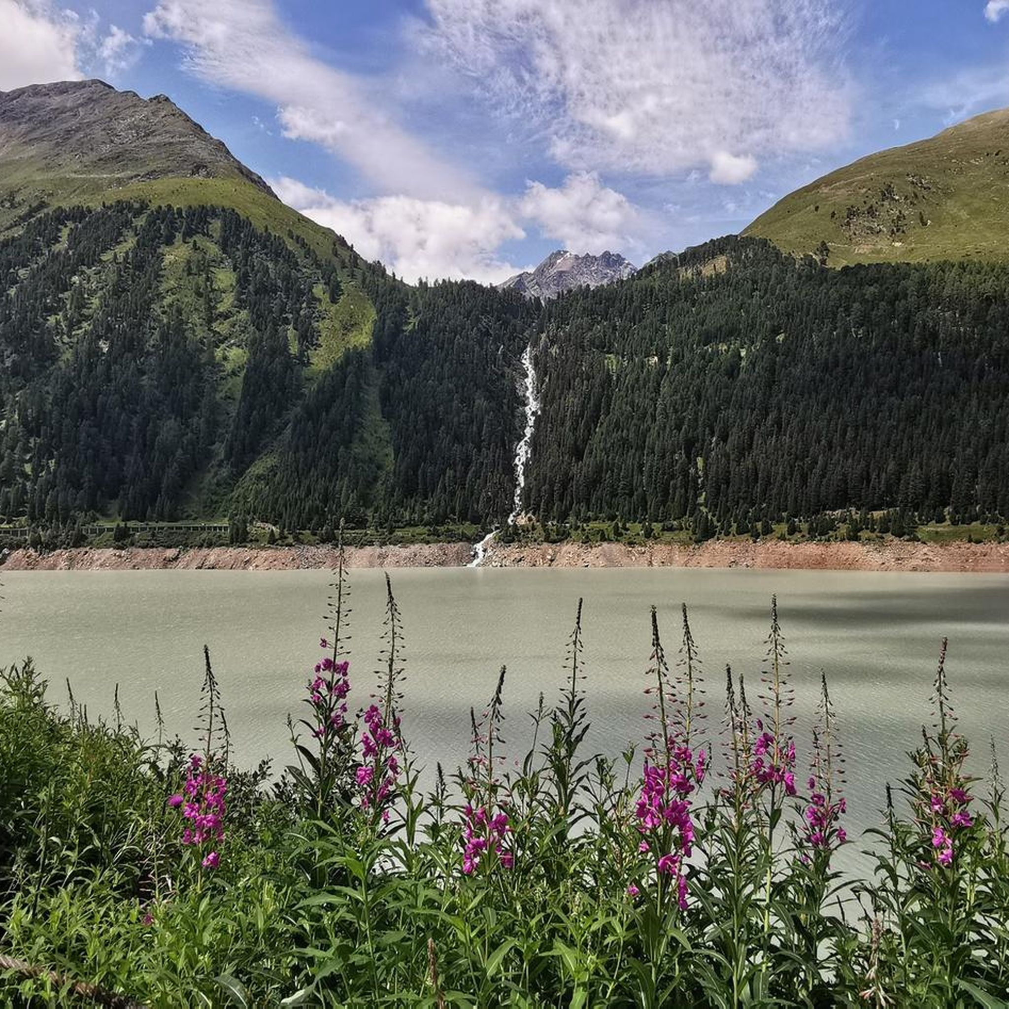
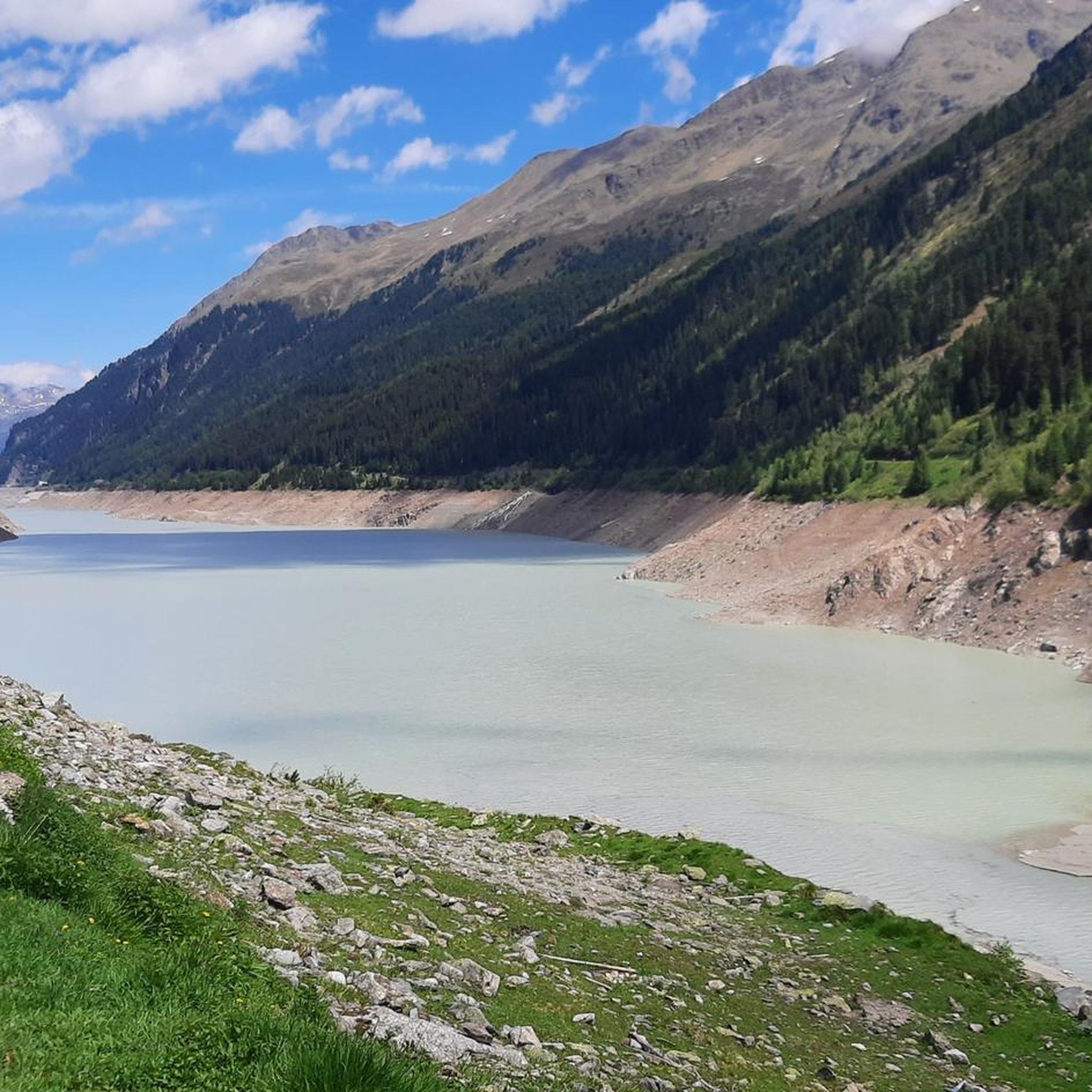
The Gepatsch reservoir - an impressive structure in the rear Kaunertal. Enjoy a unique natural experience as you drive along the Kaunertal Glacier Panorama Road. A stop at the Gepatsch reservoir is always worthwhile. Let your gaze wander over the magnificent Kaunertal mountains, enjoy a cappuccino on the terrace of the Cafe Seepanorama or find out more about the construction of the reservoir and the generation of energy from the hydropower provided by the Gepatsch reservoir.
1
0

Beautiful trail, high above the reservoir. Fantastic views and magnificent nature!
2
0

Be careful of the traffic at the reservoir
1
1
There are some highlights on the route
1
1

Frequently Asked Questions
How many hiking trails are there around Gepatsch Stausee?
The region around Gepatsch Stausee offers a diverse network of over 14 hiking trails. These routes cater to various skill levels, from easy strolls through alpine pastures to more challenging ascents into the high mountains.
What is the best time of year to go hiking around Gepatsch Stausee?
The prime hiking season around Gepatsch Stausee typically runs from late spring to early autumn, generally May through October. During these months, trails are mostly snow-free, and the weather is ideal for exploring the diverse alpine landscapes, stone pine forests, and glacial formations.
What kind of landscapes can I expect to see while hiking here?
Hikers around Gepatsch Stausee will experience a rich variety of alpine environments. These include impressive glacial formations, ancient stone pine forests, lush alpine meadows, and the rugged peaks of the Ötztal Alps. You'll also encounter crystal-clear mountain lakes, dramatic waterfalls like the Bliggbach Waterfall, and unique moor landscapes within the Kaunergrat Nature Park.
Are there easy hiking trails suitable for beginners or families?
Yes, Gepatsch Stausee offers several easy trails perfect for beginners or families. For instance, the Nassereialpe – Nasserei Alm loop from Kaunertal is a gentle 4 km path through alpine pastures, often completed in about 1 hour 24 minutes. These trails are generally well-marked and have minimal elevation gain.
Are there challenging hikes for experienced trekkers?
Absolutely. While many trails are moderate, the region also features routes classified as 'hard' (SAC 4-6 / Blue-White). These longer, more demanding hikes are designed for very fit individuals with alpine experience, often involving exposed terrain, significant elevation changes, and sometimes requiring the use of hands. They can last more than 5 hours or involve over 900 meters of elevation gain.
Are there any waterfalls to see on the trails?
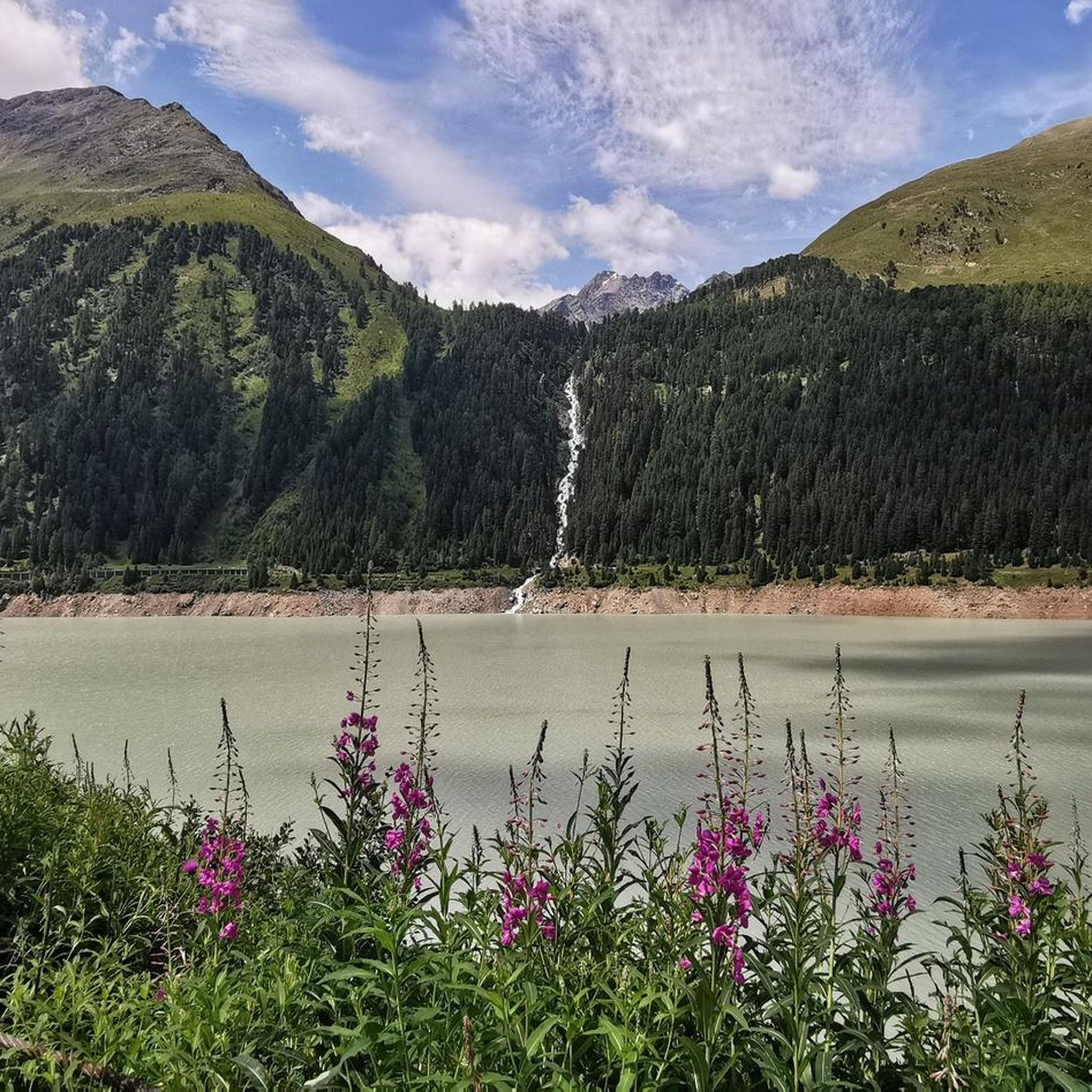
Yes, the area is home to impressive waterfalls. A notable one is the Bliggbach Waterfall, which dramatically cascades directly into the Gepatsch Reservoir. Many routes also feature rushing streams and smaller cascades, especially during snowmelt.
What are some notable natural attractions or landmarks in the area?
Beyond the stunning Gepatsch Reservoir itself, hikers can explore the Kaunertal Glacier Panorama Road, which offers access to the Weißseeferner glacier. The Kaunergrat Nature Park is a treasure trove of biodiversity, home to Austria's largest ibex colony. You can also discover ancient stone pine forests along trails like the Zirbenweg, and unique moor landscapes such as the Piller Moor.
Can I bring my dog on the hiking trails?
Many trails in the Gepatsch Stausee region are dog-friendly, allowing you to enjoy the alpine scenery with your canine companion. However, it's always recommended to keep dogs on a leash, especially in nature park areas or near grazing livestock, and to check specific trail regulations before you go.
Are there circular hiking routes around Gepatsch Stausee?
Yes, there are several excellent circular routes. A popular option is the Gepatsch Reservoir – Nasserei Alm loop from Kaunertal, a moderate 7.6 km path that circles the impressive reservoir, offering continuous scenic views. Other loops, like the Hapmes Hunting Cabin loop from Kaunertal, also provide great circular hiking experiences.
Is there parking available for hikers?
Yes, numerous parking areas are available, especially along the Kaunertal Glacier Panorama Road, which serves as a convenient starting point for many hikes. Specific trailheads often have designated parking, making access to the routes straightforward.
What do other hikers say about the trails around Gepatsch Stausee?
The hiking trails around Gepatsch Stausee are highly regarded by the komoot community, boasting an impressive average rating of 4.7 stars from over 900 reviews. Hikers frequently praise the stunning panoramic views, the diverse landscapes ranging from glaciers to stone pine forests, and the well-maintained paths that cater to all experience levels.
What is the Kaunertal Glacier Panorama Road, and how does it relate to hiking?
The Kaunertal Glacier Panorama Road is a spectacular 26-kilometer high alpine road that winds through six alpine zones, ascending 1,500 meters with 29 hairpin bends. It's an attraction in itself, but also serves as a crucial access point for hikers. Many trails begin directly from viewpoints or parking areas along this road, making various high-alpine and glacial areas easily accessible for exploration.
Most popular routes around Gepatsch Stausee
Most popular attractions around Gepatsch Stausee

Get inspired with the komoot mobile app


Explore more
Browse the best Hikes in other regions.
