The best road cycling routes around Thurnberger Stausee
4.2
(46)
829
riders
48
rides
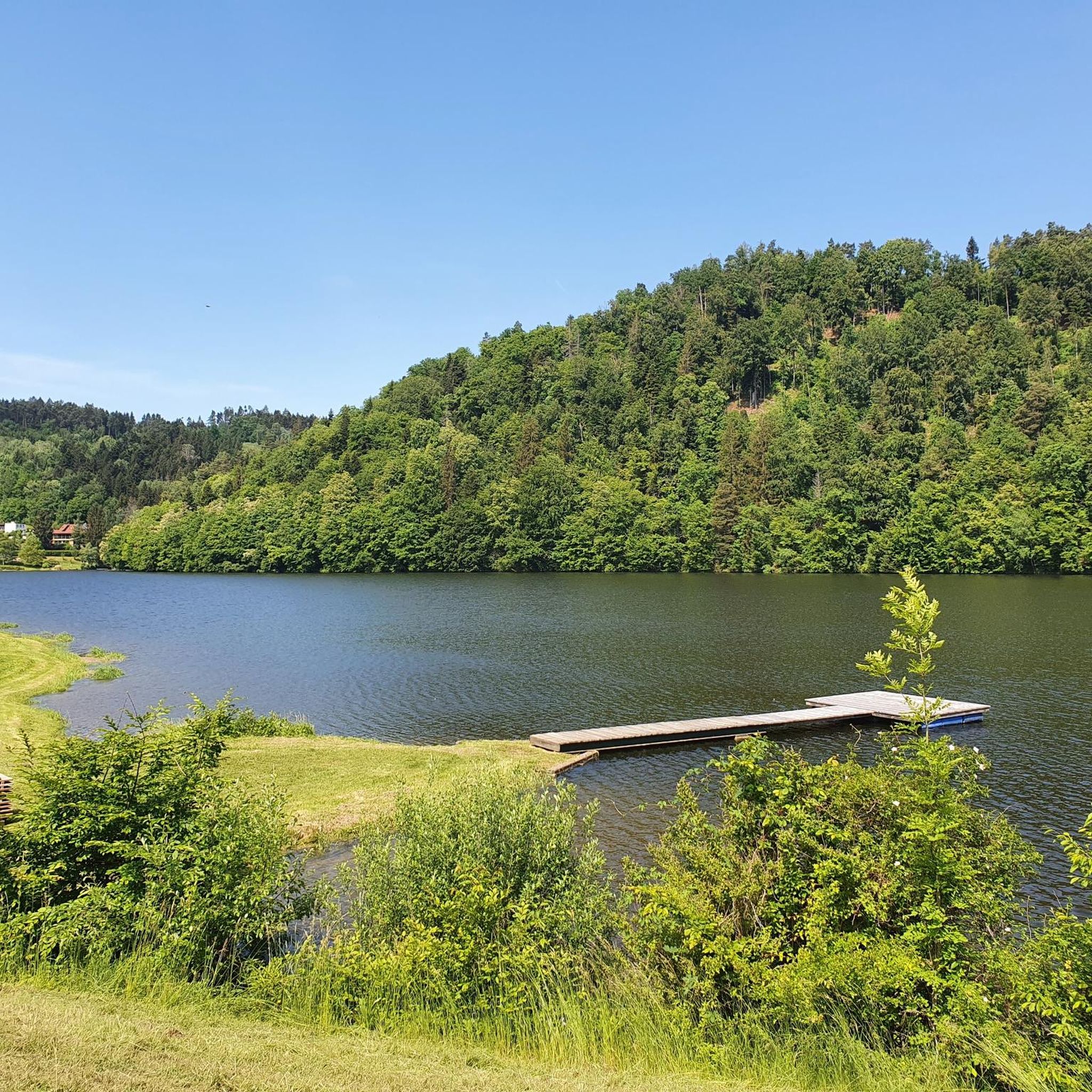
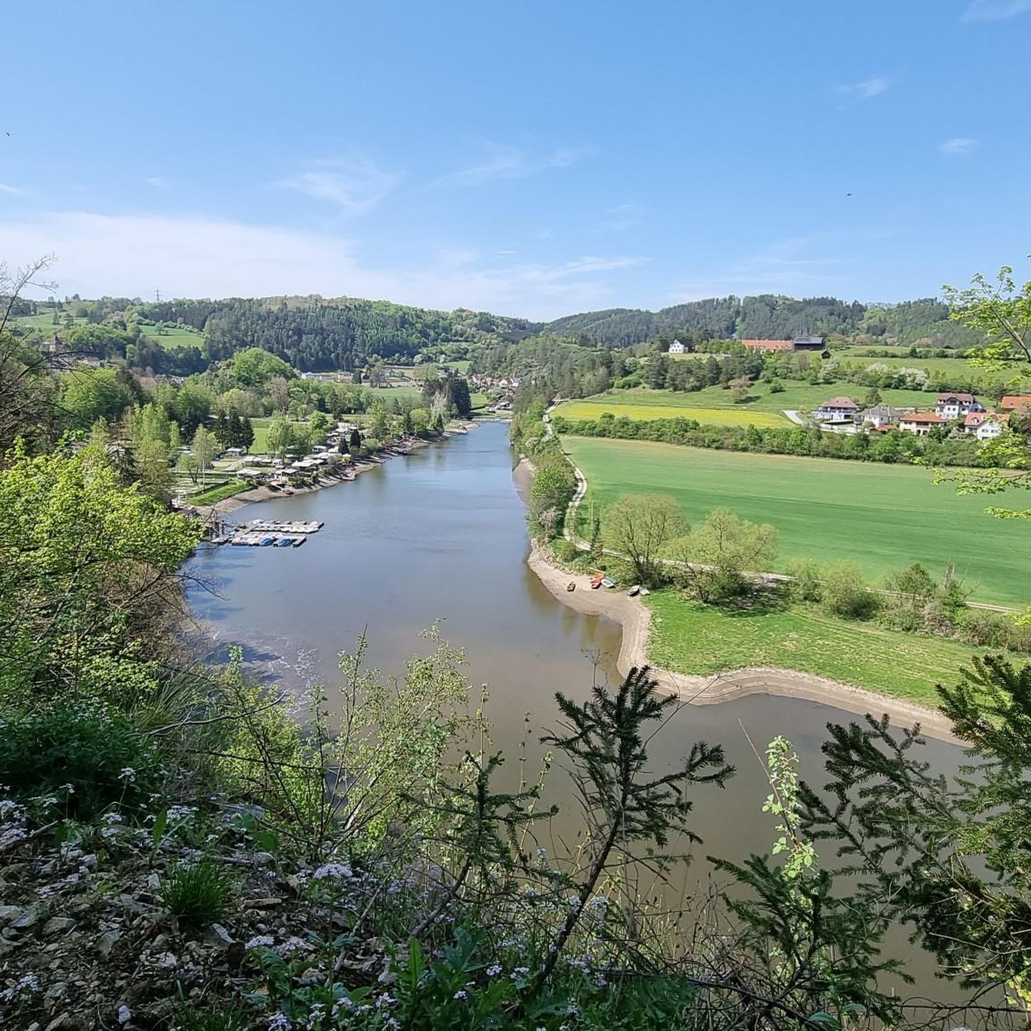
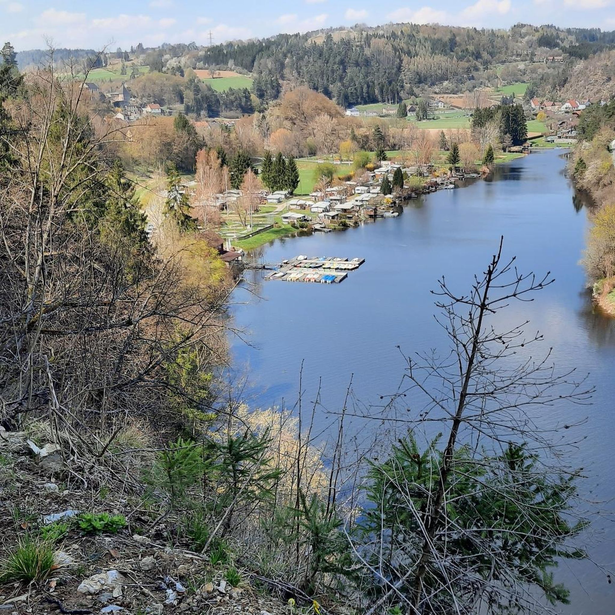
Road cycling around Thurnberger Stausee offers diverse terrain within the hilly Waldviertel region of Lower Austria. The area is characterized by rolling hills, dense forests, and well-paved country roads, providing varied routes for road cyclists. The landscape features the picturesque Thurnberger Stausee itself, surrounded by forests and rocks, and extends into the broader Kamp Valley with its "fjord-like" reservoirs. This region presents a mix of moderate and challenging climbs, suitable for different fitness levels.
Best road cycling routes around Thurnberger…
Last updated: July 2, 2026
17
riders
82.1km
04:12
1,160m
1,160m
Hard road ride. Very good fitness required. Mostly well-paved surfaces and easy to ride.
4.0
(1)
4
riders
58.4km
03:07
960m
960m
Hard road ride. Very good fitness required. Mostly well-paved surfaces and easy to ride.

Sign up for free
5.0
(1)
19
riders
43.5km
02:09
670m
670m
Moderate road ride. Good fitness required. Mostly well-paved surfaces and easy to ride.
4.0
(1)
8
riders
88.2km
05:17
1,310m
1,300m
Hard road ride. Very good fitness required. Some segments of this route may be unpaved and difficult to ride.
1.0
(1)
4
riders
20.2km
01:06
430m
430m
Moderate road ride. Good fitness required. Mostly well-paved surfaces and easy to ride.
Get access to more routes and recommendations from other explorers.
Sign up for free
Already have an account?
Our route recommendations are based on thousands of hikes, rides, and runs completed by other people on komoot.
Start today with a free account
Your next adventure awaits.
Login or Signup
Tips from the Community

The Ottenstein reservoir, is the largest of the Kamp lakes and is among the richest waters in fish in Austria and at the same time among the best predatory fish waters in Europe. Its water surface is 4.3 km² and extends with its fjord-like, branched side arms, with a length of more than 14 km, up to Zwettl. The deepest point is 69 m.
0
0

A trip to Jaidhof Castle is particularly worthwhile due to the combination of historical architecture, spiritual tranquility, and nature experience.
0
0
After historical decay, the complex was extensively renovated in the 20th century through private initiative and saved from ruin status. As it is privately owned, it can usually only be viewed from the outside.
0
0

History of the fountain on the main square of the town of Gföhl. The fountain itself is in neo-Gothic style and was erected in 1870 according to a design by Karl Rösner. From 1999 onwards, the main square was redesigned under the leadership of architect Gerhard Mitterberger for 9.3 million Schilling. During this process, the fountain was extended with a few subtly worked granite elements.
0
0
History of the Church: A church was first documented in 1327 and initially belonged to the parish of Meisling as a branch church. A new church was built in the mid-17th century, followed by the current church building, constructed between 1715 and 1720, which was consecrated in 1724. Damage was caused by fires in the village in 1748 and 1820. Subsequently, the church gradually acquired 19th-century furnishings. Damage to the roof truss led to the vault sagging. During a renovation in 2020, the vault was raised again.
0
0
The parish church of Gföhl is located in the town of Gföhl in the Krems district of Lower Austria. The Roman Catholic parish church, dedicated to St. Andrew, belongs to the Krems deanery in the Diocese of St. Pölten. The church is a listed building.
0
0

The Nepomuk statue is a replica of a late Baroque Nepomuk statue. This sandstone statue was made by the Worek company in Eggenburg. It stands on the Kamp Bridge, whose road leads to Rosenburg Castle. To the right of it, a path/road leads to the Kamp Power Station and the former Zienner Mill.
0
0
Frequently Asked Questions
What kind of terrain can I expect when road cycling around Thurnberger Stausee?
The region around Thurnberger Stausee, part of the hilly Waldviertel, offers diverse terrain characterized by rolling hills, dense forests, and clear air. You'll find mostly well-paved country roads and smaller, winding roads away from main traffic, providing a mix of moderate and challenging climbs suitable for road bikes.
Are there road cycling routes suitable for beginners or those looking for an easier ride?
Yes, while the region is known for its rolling hills and elevation gains, there are routes suitable for various fitness levels. Out of 52 available road cycling routes, 2 are classified as easy, and 35 are moderate, offering options for less experienced riders or those seeking a more relaxed pace.
Where can I find challenging road cycling routes with significant elevation around Thurnberger Stausee?
For a challenging experience, the region offers routes with substantial elevation gains. For example, the Krumau Castle – Jaidhof Castle loop from Krumau am Kamp covers 88.2 km with over 1300 meters of ascent. Another demanding option is the Krumau Castle – Ottenstein reservoir loop from Krumau am Kamp, which is 82.1 km long with over 1150 meters of elevation gain.
What are some scenic viewpoints or landmarks I can see while road cycling in the area?
Road cycling routes often pass through picturesque landscapes. You can enjoy views of the Thurnberger Stausee itself, surrounded by forests and rocks. Routes also lead to historic sites like Burg Krumau am Kamp and Rosenburg Castle. Further afield, the Dobra and Ottenstein reservoirs offer stunning 'fjord-like' scenery.
What do other road cyclists think about the routes around Thurnberger Stausee?
The road cycling routes around Thurnberger Stausee are highly rated by the komoot community, with an average score of 4.2 stars from over 40 reviews. Cyclists often praise the varied terrain, well-paved surfaces, and the scenic beauty of the Waldviertel region.
Is the Thurnberger Stausee area suitable for long-distance road cycling?
Yes, the region is well-suited for longer rides. The broader Kamp Valley is integrated into the extensive Kamptal-Thaya-March Cycling Trail, which features routes like a 425 km trail with significant elevation changes. Locally, routes such as the Krumau Castle – Jaidhof Castle loop from Krumau am Kamp offer over 88 km of cycling, providing ample distance for endurance rides.
Are there any family-friendly road cycling options near Thurnberger Stausee?
While many routes feature rolling hills, the presence of easy and moderate routes suggests options for families. Look for routes with less elevation gain and quieter country roads. The picturesque lake area itself offers a pleasant environment, and shorter, less demanding sections of trails can be explored.
What is the best time of year to go road cycling around Thurnberger Stausee?
The region is generally best enjoyed during spring, summer, and early autumn. These seasons offer pleasant temperatures and lush scenery. The well-paved roads are suitable for cycling in good weather conditions, allowing you to fully appreciate the natural beauty and historic sites.
Are there facilities like cafes or accommodation for cyclists near Thurnberger Stausee?
Yes, the area caters to visitors. You can find facilities like Seecamping Krumau near the lake. The surrounding towns and villages in the Kamp Valley and Waldviertel region offer various cafes, restaurants, and accommodation options suitable for cyclists.
How can I access the road cycling routes around Thurnberger Stausee by public transport?
While specific public transport options for bike transport directly to Thurnberger Stausee might vary, the broader Waldviertel region is accessible by train and bus services. It's advisable to check local public transport schedules and bike carriage policies with providers like ÖBB (Austrian Federal Railways) or regional bus services for the most up-to-date information.
Where can I park my car when visiting for road cycling?
Parking is generally available in the vicinity of popular starting points for routes, such as Krumau am Kamp or Idolsberg. Look for designated parking areas near the lake or in the nearby villages. Specific parking information for individual routes can often be found on komoot tour pages.
What makes the road cycling experience unique in the Thurnberger Stausee region?
The unique combination of well-paved roads, varied hilly terrain, and low-traffic scenic routes sets this region apart. Cyclists can enjoy the tranquil atmosphere of the 'untouched' natural environment, the picturesque Thurnberger Stausee, and the 'fjord-like' landscapes of the upstream reservoirs, all while encountering historic castles and cultural landmarks.
Most popular routes around Thurnberger Stausee
Most popular attractions around Thurnberger Stausee

Get inspired with the komoot mobile app


Explore more
Browse the best Road cycling routes in other regions.
