The best MTB trails around Thurnberger Stausee
4.5
(77)
358
riders
16
rides
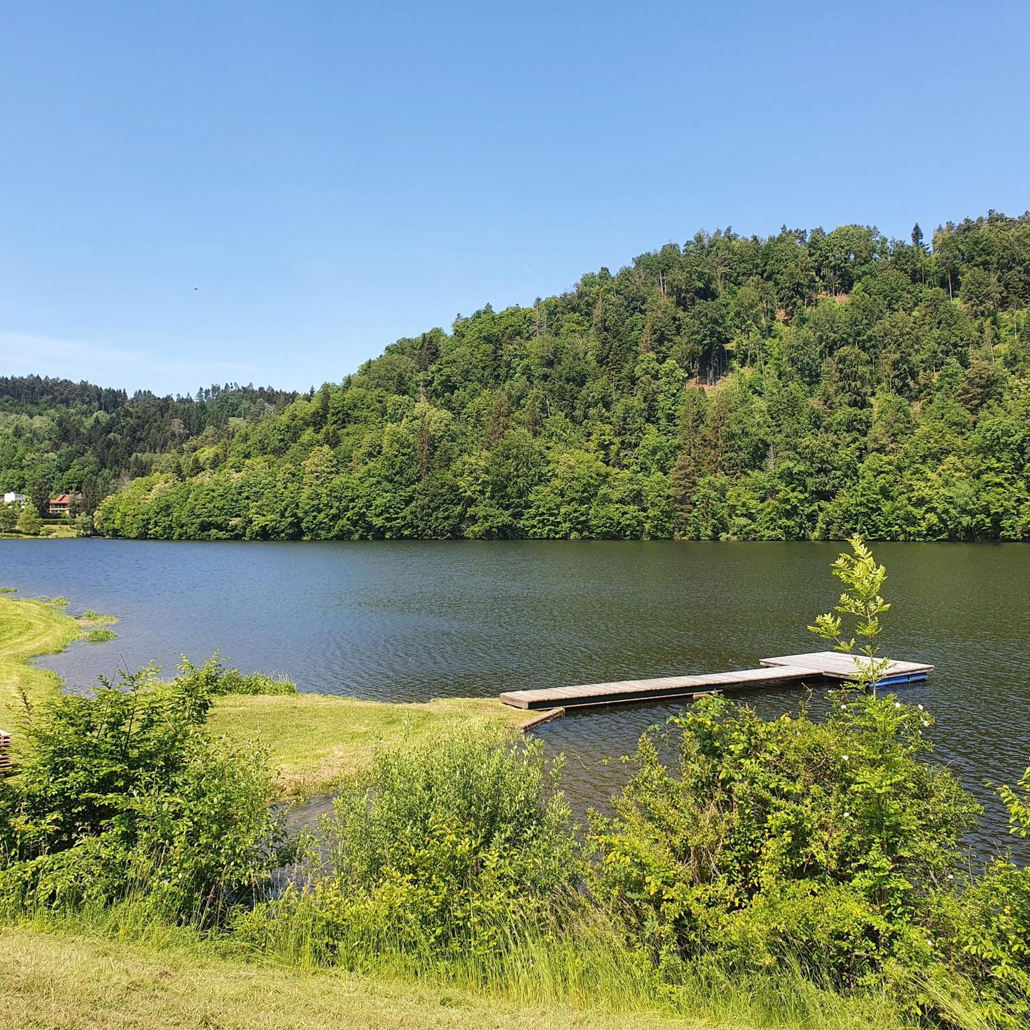
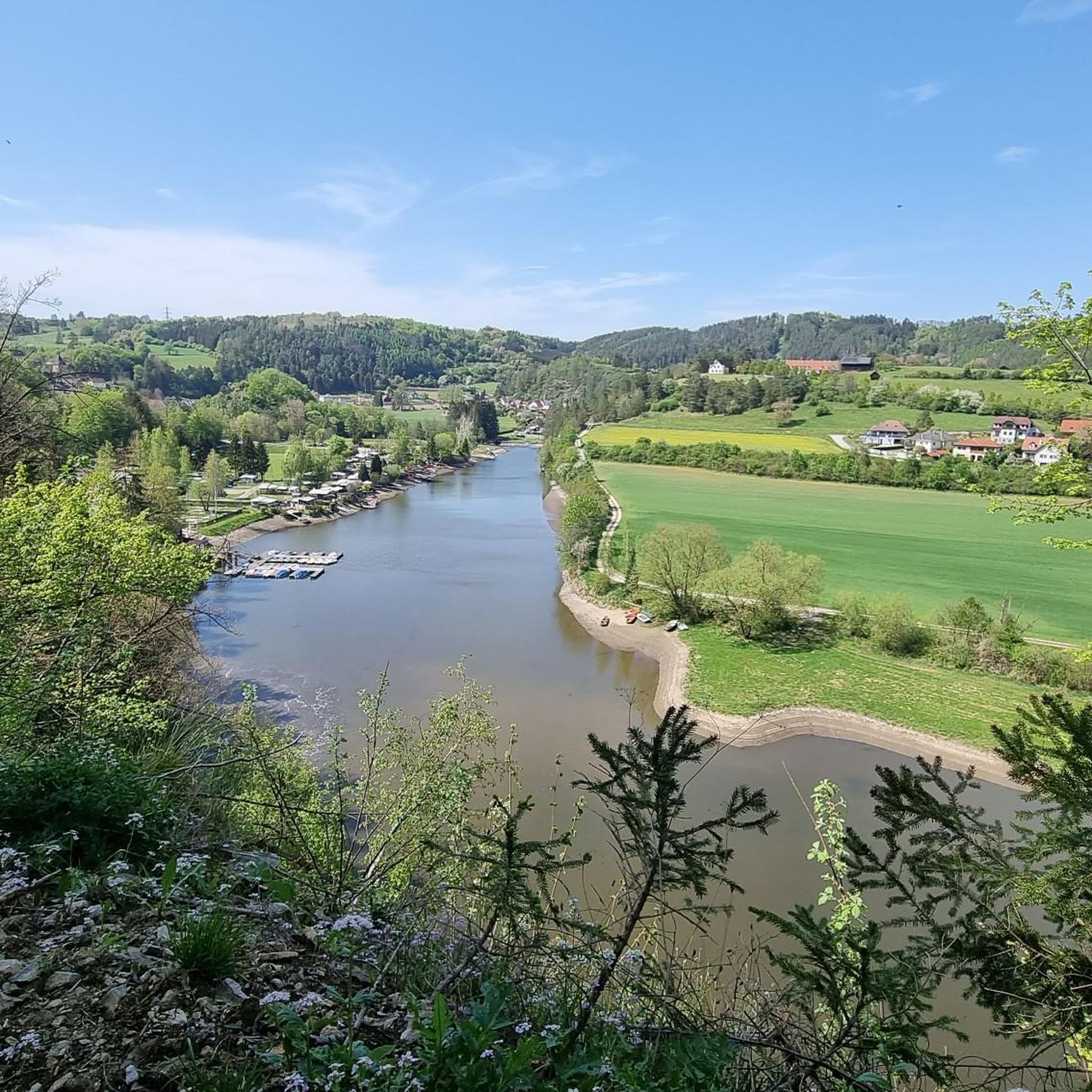
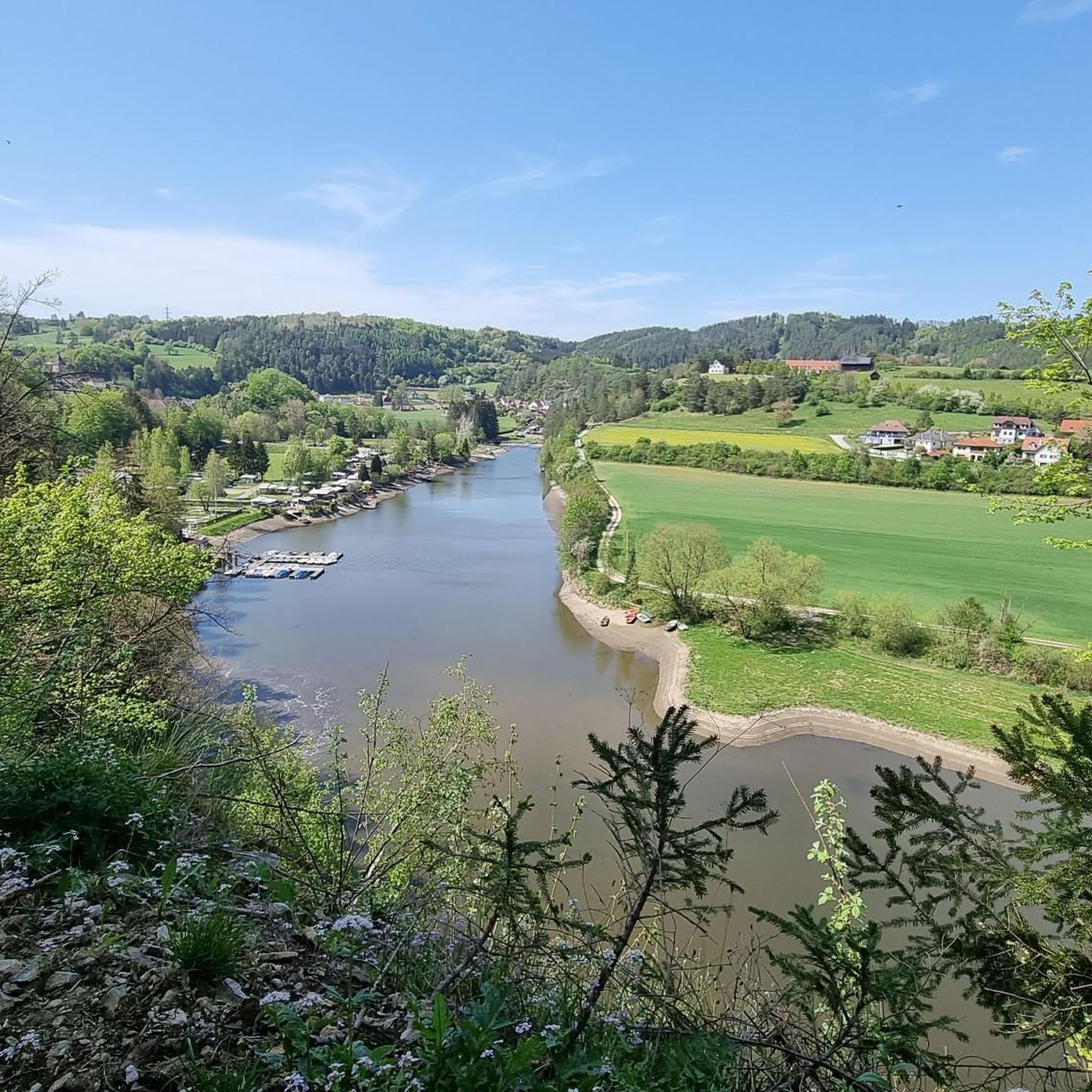
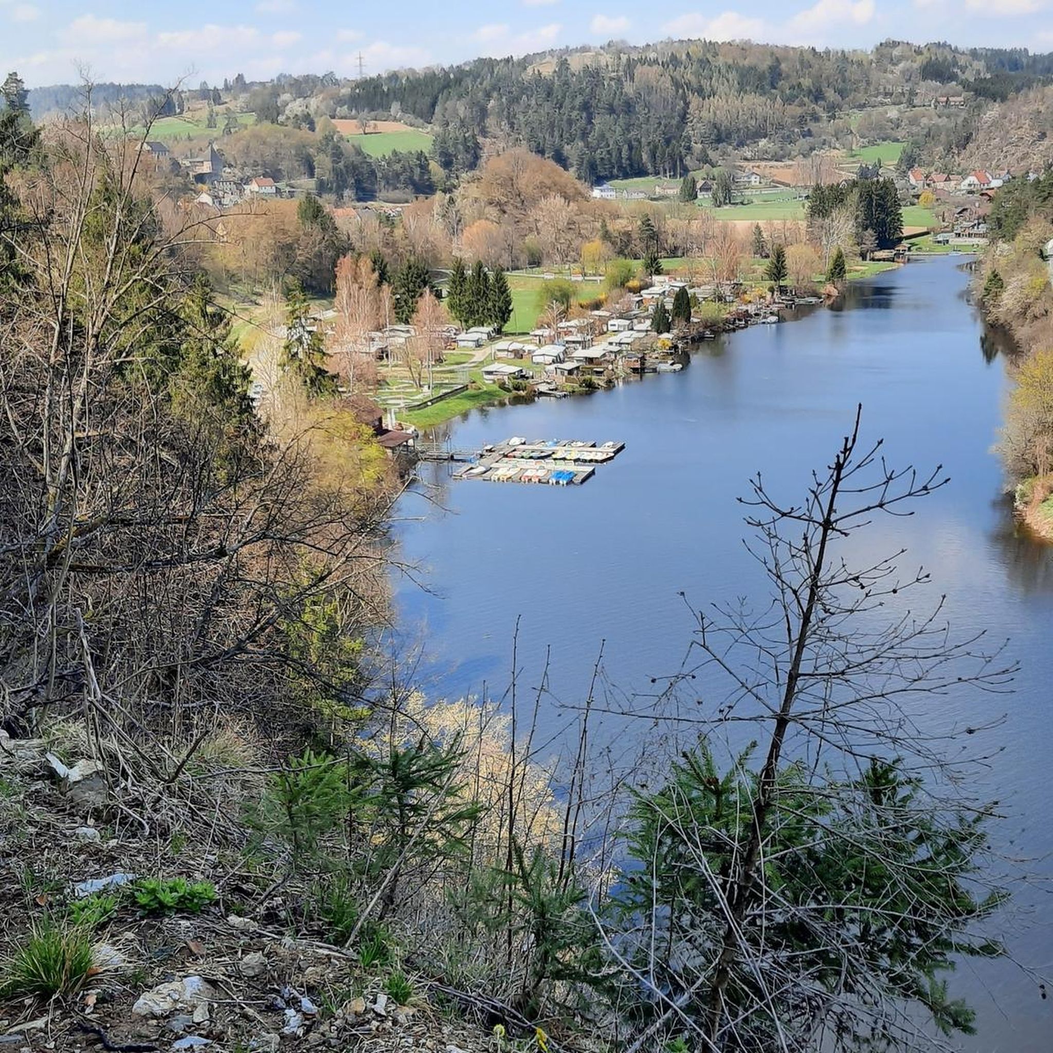
Mountain biking around Thurnberger Stausee offers a diverse landscape characterized by forested hills, the expansive reservoir, and the surrounding river valleys of the Bezirk Krems. The region provides a mix of terrain, from winding paths through woodlands to routes offering views of historic castles and the lake itself. Mountain bike trails here often feature varied elevations, making for engaging rides.
Best mountain bike trails around Thurnberger Stausee
- The most popular mountain bike trail is Gut Ottenstein – Ottenstein Castle loop…
Last updated: July 2, 2026
4.4
(7)
45
riders
43.6km
03:26
770m
770m
Moderate mountain bike ride. Good fitness required. Advanced riding skills necessary.
5.0
(2)
9
riders
17.6km
01:15
320m
320m
Moderate mountain bike ride. Good fitness required. Suitable for all skill levels.

Sign up for free
1
riders
62.9km
04:28
1,090m
1,090m
Hard mountain bike ride. Very good fitness required. Advanced riding skills necessary.
8
riders
Moderate mountain bike ride. Good fitness required. Suitable for all skill levels.
3.0
(3)
5
riders
29.9km
02:16
530m
530m
Moderate mountain bike ride. Good fitness required. Suitable for all skill levels.
Get access to more routes and recommendations from other explorers.
Sign up for free
Already have an account?
Our route recommendations are based on thousands of hikes, rides, and runs completed by other people on komoot.
Start today with a free account
Your next adventure awaits.
Login or Signup
Tips from the Community

The Krumau am Kamp castle is privately owned today and serves as a residence, which is why the interior rooms cannot be publicly viewed.
0
0

Schloss Waldreichs was first documented in 1258. Around 1400, Kaspar and Bernhard von Waldreichs are mentioned as feudal lords. After its destruction by an executionary army of the estates in 1446–1448, it was rebuilt as a fortress around 1450 under Hans Harrasser. The present-day ruin in the east wing, the chapel, and the eastern tower date from this period. In 1460, it was enfeoffed to Vinzenz Stodoligk. From 1519–1536, it was united with the Lordship of Ottenstein. Between 1530–1534, it was converted into a moated castle under Eustach Stodoligk. From 1533, it was a free property. In 1536, the complex passed to the Barons of Altena, who expanded it with a zwinger and a manor farm. After its conquest and plundering by imperial troops, the complex was rebuilt again and subsequently changed owners frequently. When it passed to Heinrich von Pereira-Arnstein in 1815, it was united with the Lordship of Wetzlas.
0
0
History of the fountain on the main square of the town of Gföhl. The fountain itself is in neo-Gothic style and was erected in 1870 according to a design by Karl Rösner. From 1999 onwards, the main square was redesigned under the leadership of architect Gerhard Mitterberger for 9.3 million Schilling. During this process, the fountain was extended with a few subtly worked granite elements.
0
0
History of the Church: A church was first documented in 1327 and initially belonged to the parish of Meisling as a branch church. A new church was built in the mid-17th century, followed by the current church building, constructed between 1715 and 1720, which was consecrated in 1724. Damage was caused by fires in the village in 1748 and 1820. Subsequently, the church gradually acquired 19th-century furnishings. Damage to the roof truss led to the vault sagging. During a renovation in 2020, the vault was raised again.
0
0
The parish church of Gföhl is located in the town of Gföhl in the Krems district of Lower Austria. The Roman Catholic parish church, dedicated to St. Andrew, belongs to the Krems deanery in the Diocese of St. Pölten. The church is a listed building.
0
0

The Nepomuk statue is a replica of a late Baroque Nepomuk statue. This sandstone statue was made by the Worek company in Eggenburg. It stands on the Kamp Bridge, whose road leads to Rosenburg Castle. To the right of it, a path/road leads to the Kamp Power Station and the former Zienner Mill.
0
0

Frequently Asked Questions
How many mountain bike trails are available around Thurnberger Stausee, and what are their difficulty levels?
There are 16 mountain bike trails around Thurnberger Stausee listed on komoot. These include 1 easy route, 14 moderate routes, and 1 difficult route, offering options for various skill levels.
Are there any easy or beginner-friendly mountain bike trails near Thurnberger Stausee?
Yes, there is one easy mountain bike trail available. For beginners, the moderate trails, which make up the majority of routes, can also be a good starting point, especially if you're comfortable with varied terrain.
What are some of the longer mountain bike routes around Thurnberger Stausee?
For longer rides, consider the View of Dobra Castle Ruins – Gföhl loop from Krumau am Kamp, which is 38.2 miles (61.4 km) long, or the Kamp River Bridge – Gars Castle Ruins loop from Katastralgemeinde Thurnberg at 46.4 miles (46.4 km). These routes offer extensive exploration of the region.
Are there any challenging mountain bike routes for advanced riders in the Thurnberger Stausee area?
Yes, for advanced riders seeking a challenge, the View of Dobra Castle Ruins – Gföhl loop from Krumau am Kamp is classified as difficult. This 38.2-mile (61.4 km) trail features significant elevation changes, making it suitable for experienced mountain bikers.
What kind of scenery can I expect while mountain biking around Thurnberger Stausee?
Mountain biking around Thurnberger Stausee offers diverse scenery, including forested hills, expansive views of the reservoir, and paths along the river valleys of the Bezirk Krems. You'll also encounter historic sites like castles and ruins along many routes.
Are there any loop trails for mountain biking around Thurnberger Stausee?
Yes, many of the mountain bike routes around Thurnberger Stausee are designed as loops. Examples include the Gut Ottenstein – Ottenstein Castle loop from Krumau am Kamp and the Burg Krumau am Kamp – Wetzlas Castle loop from Krumau am Kamp, which allow you to start and end at the same point.
What are some interesting landmarks or attractions to see along the mountain bike trails?
The region is rich in historical and natural attractions. You can bike past Burg Krumau am Kamp, enjoy views of the Thurnberg Reservoir, or see the Thurnberg Reservoir Dam. Many routes also pass by various castle ruins.
What is the best time of year for mountain biking in the Thurnberger Stausee area?
The best time for mountain biking around Thurnberger Stausee is typically from spring through autumn (April to October). During these months, the weather is generally mild, and trail conditions are most favorable. Always check local weather forecasts before heading out.
What do other mountain bikers say about the trails around Thurnberger Stausee?
The mountain bike trails around Thurnberger Stausee are highly rated by the komoot community, with an average score of 4.4 stars from over 70 reviews. Riders often praise the diverse terrain, the beautiful lake views, and the engaging mix of forested paths and river valley trails.
Are there any mountain bike routes that pass by the Ottenstein Castle?
Yes, the Ottenstein Castle – Ottenstein Dam loop from Ruine Dobra is a moderate 18.7-mile (30.0 km) route that specifically explores the area around Ottenstein Castle and the dam, offering scenic views and historical context.
Where can I find parking for mountain biking around Thurnberger Stausee?
While specific parking spots aren't detailed for every route, popular starting points for trails, especially those originating from towns like Krumau am Kamp, generally offer public parking facilities. Look for designated parking areas near trailheads or town centers.
Are there any facilities like cafes or restaurants along the mountain bike trails?
While the trails themselves might not have direct cafes, routes often pass through or near villages and towns where you can find refreshment stops. For example, Seecamping Krumau is a facility near the reservoir that might offer amenities.
Most popular routes around Thurnberger Stausee
Most popular attractions around Thurnberger Stausee

Get inspired with the komoot mobile app


Explore more
Browse the best MTB trails in other regions.
