The best road cycling routes around Wasaga Beach
4.8
(7)
225
riders
16
rides
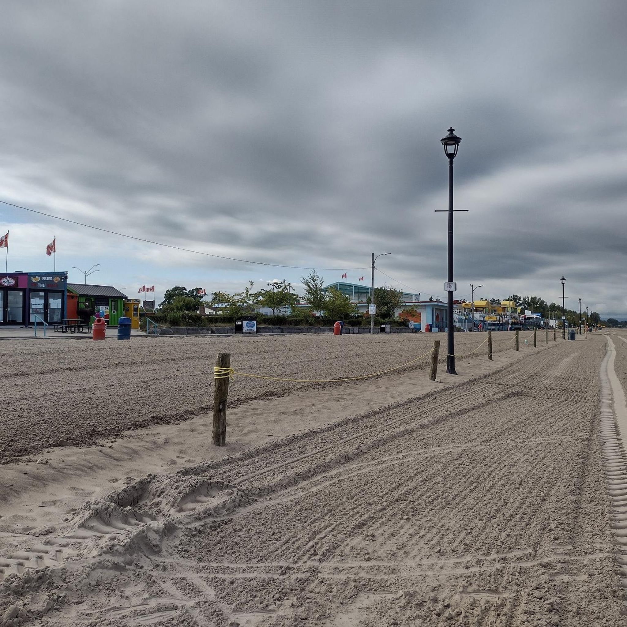
Road cycling routes around Wasaga Beach traverse a diverse landscape characterized by the world's longest freshwater beach along Nottawasaga Bay. The area features extensive coastal dune ecosystems, wetlands, and woodlands, with the Nottawasaga River flowing through. Remnants of glacial lakes, known as "raised beaches," contribute to the varied terrain, offering both flat sections near the shore and more undulating routes inland. The region is integrated into broader trail networks, providing numerous options for road cyclists.
Best road cycling routes around…
Last updated: November 1, 2026
4.5
(2)
32
riders
64.1km
02:39
160m
160m
Moderate road ride. Good fitness required. Some segments of this route may be unpaved and difficult to ride.
22
riders
Moderate road ride. Good fitness required. Some segments of this route may be unpaved and difficult to ride.

5.0
(1)
13
riders
Moderate road ride. Good fitness required. Some segments of this route may be unpaved and difficult to ride.
5.0
(1)
15
riders
43.0km
02:07
70m
70m
Moderate road ride. Good fitness required. Some segments of this route may be unpaved and difficult to ride.
10
riders
28.2km
01:19
100m
100m
Moderate road ride. Some segments of this route may be unpaved and difficult to ride.
Get access to more routes and recommendations from other explorers.
Already have an account?
Our route recommendations are based on thousands of hikes, rides, and runs completed by other people on komoot.
Start today with a free account
Your next adventure awaits.
Popular around Wasaga Beach


Tips from the Community

Barrie-Collingwood Rail Trail follows a former railway corridor for roughly 34 kilometres between Collingwood and Angus, passing through Stayner and New Lowell along the way. This flat, crushed-gravel trail runs through quiet countryside between the communities, making it a popular route for walking and cycling. Trains ran along this line until 2011, before it became the shared-use trail it is today, ideal for walking or riding at your own pace.
0
0
Millennium Park sits at the northern tip of Collingwood Harbour, right beside the town’s landmark grain terminals, with fantastic open views across Georgian Bay to Blue Mountain. Benches and a large grassy lawn make it an easy place to linger by the water, with interpretive signs sharing some of the harbour’s history. On summer days, the pier is a popular fishing spot, and the occasional food truck is a nice bonus if you’d like to stay for lunch.
0
0

The Wasaga Nordic and Trail Centre is the main access point for the trails that wind through Wasaga Provincial Park. The trails are open year round but the main focus here is for winter XC skiing and snowshoeing. You'll find maps and rental equipment available, so even beginners can get out and enjoy the groomed trails with confidence.
0
0

Georgian Trail follows a former railway corridor for about 34 kilometres between Collingwood and Meaford, tracing the shoreline of southern Georgian Bay. It’s a mostly flat, well-maintained crushed gravel path, with beautiful views of the bay, wetlands, orchards, and the Niagara Escarpment, making it one of Ontario’s most popular rail trails for walking and cycling.
1
0

This trail is named for the park it borders, not for the actual views, as they're much better from the other side of the park. Still, this pathway makes for pleasant walking and forms part of a walkable loop that goes all the way around Optimist Harbourview Park.
0
0
This park is a beautiful mix of urban wetlands and woodlands, boardwalk, natural-surface tracks, and a touch of industrial harbour scenery.
0
0
This path takes you past the wetlands on the fringe of Collingwood Harbour. It's part of an almost 4km loop you can walk around Optimist Harbourview Park.
0
0
Frequently Asked Questions
How many road cycling routes are available around Wasaga Beach?
Komoot features over 15 road cycling routes around Wasaga Beach, with options ranging from easy to difficult. This includes routes that explore the extensive coastal areas, as well as more challenging inland terrain.
What kind of terrain can I expect on road cycling routes in Wasaga Beach?
Road cycling around Wasaga Beach offers diverse terrain. You'll find flat sections along the expansive freshwater beach and coastal areas, as well as more undulating routes inland that traverse woodlands and remnants of glacial lakes. The region is integrated into broader trail networks, providing varied landscapes.
Are there any challenging road cycling routes for experienced riders?
Yes, for experienced riders seeking a challenge, routes like the Sunset Point Park – Pretty River Valley loop from Beachwood Rd & Dell Parr Ave offer significant elevation gain. This 98.8 km route features over 640 meters of ascent, exploring inland areas with varied elevation.
Where can I find scenic viewpoints or natural features along road cycling routes?
Wasaga Beach is renowned for its natural beauty. Many routes offer views of the world's longest freshwater beach and Nottawasaga Bay. You can also explore unique coastal dune ecosystems and the Nottawasaga River. The Balm Beach – Wasaga Beach loop from Tim Hortons is a moderate path that provides excellent views of the freshwater beach and coastal areas.
Are there any family-friendly or easy road cycling options in Wasaga Beach?
Yes, Wasaga Beach offers several easy road cycling routes suitable for families or those looking for a relaxed ride. These often follow flatter sections along the shore or through park lands. The area's extensive trail network, including paths along Beach Areas 1 through 5 and the Shore Lane Trail, provides accessible options.
What is the best time of year for road cycling in Wasaga Beach?
The warmer months, typically from late spring to early autumn, are ideal for road cycling in Wasaga Beach. During this period, the weather is generally pleasant, and the natural beauty of the beach, dunes, and woodlands is at its peak. The shallow and warm waters of the beach are also inviting for a post-ride dip.
Are there loop road cycling routes available around Wasaga Beach?
Many road cycling routes in Wasaga Beach are designed as loops, allowing you to start and end at the same point. An example is the Sunset Point Park loop from Wasaga Beach Provincial Park, a 47.6 km route that takes you through coastal areas and park lands.
What do other road cyclists say about the routes in Wasaga Beach?
The road cycling routes in Wasaga Beach are highly rated by the komoot community, with an average score of 4.75 stars from over 7 reviews. Cyclists often praise the diverse landscapes, from expansive beaches to woodlands, and the variety of routes catering to different ability levels.
Is parking available for road cyclists in Wasaga Beach?
Yes, parking is generally available at various access points and provincial park areas around Wasaga Beach, providing convenient starting points for road cycling routes. It's advisable to check specific parking regulations or fees for Wasaga Beach Provincial Park areas.
Can I find cafes or places to stop for refreshments along the road cycling routes?
Wasaga Beach is a popular tourist destination, and you'll find various amenities, including cafes and restaurants, particularly in the main beach areas and town. Many routes pass through or near populated areas, offering opportunities to stop for refreshments and breaks.
Are there any specific permits required to cycle on trails in Wasaga Beach?
Cycling is generally permitted on the extensive trail network that spans Beach Areas 1 through 5, as well as along the Shore Lane Trail. For specific trails within Wasaga Beach Provincial Park, it's always a good idea to check with the park authorities for any specific regulations or permit requirements, though general cycling on multi-use trails is usually allowed.
What are some other notable natural features to look out for while cycling?
Beyond the beach, Wasaga Beach is home to unique coastal dune ecosystems, featuring Ontario's largest and most undisturbed parabolic sand dunes. The area also boasts wetlands, woodlands, and 'raised beaches' – remnants of a glacial lake. These diverse environments support a rich biodiversity, including over 700 types of plants and 230 bird species.
Most popular routes around Wasaga Beach
Most popular attractions around Wasaga Beach

Get inspired with the komoot mobile app


Explore more
Browse the best Road cycling routes in other regions.
