The best running trails around Area D (Trinity/West Creighton)
4.3
(3)
283
runners
27
runs
Jogging around Area D (Trinity/West Creighton) offers access to an extensive network of multi-use paths, primarily centered around the Trinity Trails system and Trinity Park. This region is characterized by its scenic trails winding along the Trinity River and its tributaries, providing a mix of urban and natural landscapes. The terrain includes varied surfaces such as paved sections, crushed limestone paths, and some gravel, with generally accessible gradients. The trails connect to several Fort Worth attractions, allowing for integrated sightseeing.
Best jogging routes around Area D (Trinity/West Creighton)
- The most popular jogging route is Running loop from Red Gate Parking Lot, a 5.9 miles (9.6 km) trail that takes 1 hour 16 minutes to complete, offering varied terrain along the river.
- Another top favourite among local runners is Running loop from Coldstream, a moderate 5.4 miles (8.7 km) path. This route features a mix of paved and natural surfaces, providing diverse running conditions.
- Local runners also love the Cattle Pond loop from Red Gate Parking Lot, a 14.1 miles (22.8 km) trail leading through the expansive Trinity Trails system, often completed in about 3 hours 8 minutes.
- Jogging around Area D (Trinity/West Creighton) is defined by expansive multi-use paths, Trinity River frontage, and diverse urban and natural scenery. The network offers options for different ability levels, from easy paths to longer, more challenging routes.
- The routes in Area D (Trinity/West Creighton) are highly rated by the komoot community with an average score of 4.3 stars from over 3 reviews. More than 280 runners have used komoot to explore Area D (Trinity/West Creighton)'s varied terrain.
Last updated: November 10, 2026
5.0
(1)
35
runners
9.57km
01:16
270m
280m
Moderate run. Good fitness required. Mostly paved surfaces.
5.0
(1)
33
runners
8.66km
01:09
240m
230m
Moderate run. Good fitness required. Mostly paved surfaces.

21
runners
22.8km
03:09
770m
770m
Hard run. Very good fitness required. Mostly paved surfaces.
11
runners
6.26km
00:51
210m
210m
Moderate run. Good fitness required. Mostly paved surfaces.
4
runners
8.37km
00:53
90m
90m
Moderate run. Good fitness required. Mostly paved surfaces.
Get access to more routes and recommendations from other explorers.
Already have an account?
Our route recommendations are based on thousands of hikes, rides, and runs completed by other people on komoot.
Start today with a free account
Your next adventure awaits.

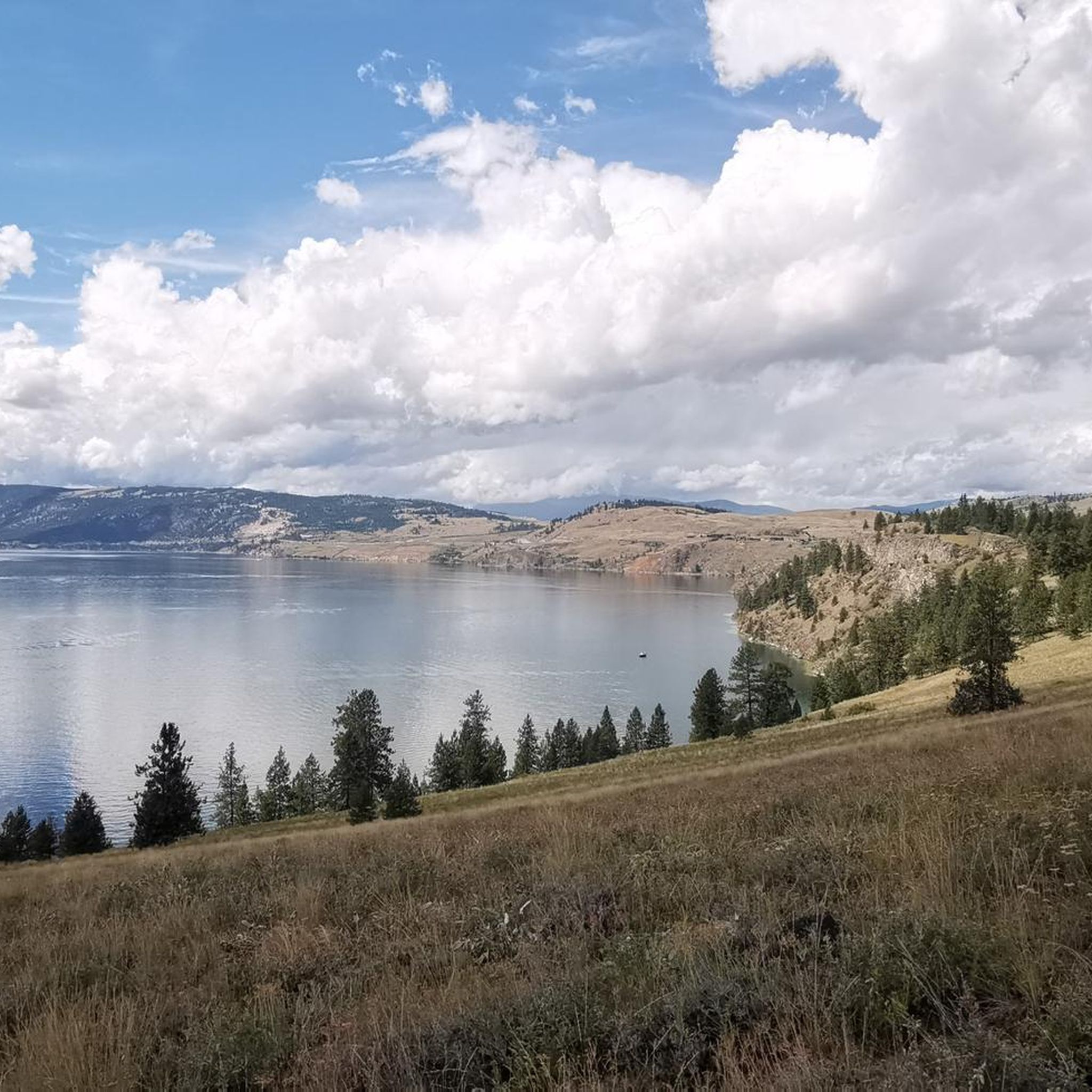
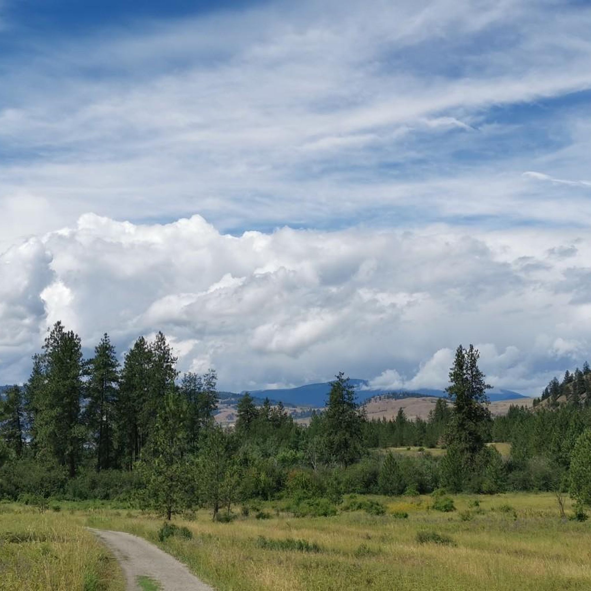
Tips from the Community

Kalamalka Lake (also called "Kal Lake") is a large lake in the Interior Plateau of southern central British Columbia. It is located east of Okanagan Lake and about 4 km south of Vernon. The lake is named after a chief of the Okanagan (Okanogan in the US), who occupied the north shore. At different times of the year - even from different points at the same time - the color of the lake may vary between cyan and indigo; this earned the lake the epithet "Lake of a thousand colors". The color of the lake is caused by the scattering of light resulting from the precipitation of calcite (CaCO3).
0
0
Frequently Asked Questions
How many running routes are available in Area D (Trinity/West Creighton)?
There are over 25 running routes available in Area D (Trinity/West Creighton) on komoot, offering a wide range of options for different skill levels and preferences. These routes primarily utilize the extensive Trinity Trails system.
Are there any easy running paths for beginners in Area D (Trinity/West Creighton)?
Yes, the Trinity Trails system, which forms the backbone of running in Area D, offers many accessible sections suitable for beginners. While komoot lists many moderate routes, the overall terrain is generally accessible with varied surfaces like paved sections and crushed limestone paths, making it easy to find a comfortable starting point. Look for shorter, flatter segments within Trinity Park for a gentle introduction.
Can I find long-distance running trails in this area?
Absolutely. The Trinity Trails system boasts over 100 miles of interconnected paths, making it ideal for long-distance running. For a challenging longer route, consider the Cattle Pond loop from Red Gate Parking Lot, which spans over 14 miles (22.8 km) and takes approximately 3 hours to complete.
Are the running routes in Area D (Trinity/West Creighton) dog-friendly?
Yes, the Trinity Trails system and Trinity Park are generally dog-friendly. Many runners enjoy bringing their leashed dogs along the multi-use paths. Always ensure your dog is on a leash and that you clean up after them to keep the trails enjoyable for everyone.
What kind of scenery can I expect while jogging in Area D (Trinity/West Creighton)?
Jogging in Area D offers a diverse mix of urban and natural scenery. You'll experience scenic trails winding along the West Fork Trinity River and its tributaries, passing through green spaces like Trinity Park, and connecting to various Fort Worth attractions. The routes provide views of the river, parklands, and cityscapes.
Are there circular running routes available?
Yes, many of the routes in Area D (Trinity/West Creighton) are designed as loops, offering convenient circular options. For example, the Running loop from Coldstream Creek at Cunliffe (WB) is a moderate 6.2 km circular path, perfect for a solid workout without retracing your steps.
What are the best times of year for running in Area D (Trinity/West Creighton)?
The pleasant temperatures in spring and fall are considered ideal for jogging in Area D. However, the trails can be enjoyed year-round. During summer, it's best to run early in the morning or late in the evening to avoid the peak heat, and in winter, be mindful of cooler temperatures.
Are there places to park near the running trails?
Yes, the Trinity Trails system is known for its ease of access, with numerous trailheads and parking facilities located throughout Fort Worth. You'll find convenient parking options at various points along the trails, including near Trinity Park and other access points.
Can I access the running trails using public transport?
The Trinity Trails system connects to various parts of Fort Worth, and some sections may be accessible via Fort Worth's public transport system (Trinity Metro). It's advisable to check specific bus routes and stops in relation to your desired trailhead for the most accurate public transport information.
What do other runners say about the trails in Area D (Trinity/West Creighton)?
The running routes in Area D (Trinity/West Creighton) are highly rated by the komoot community, with an average score of 4.3 stars from over 3 reviews. Runners often praise the expansive multi-use paths, the scenic Trinity River frontage, and the diverse urban and natural scenery that the network offers.
Are there any cafes or places to get refreshments near the running routes?
Yes, given the connectivity of the Trinity Trails system to various neighborhoods and downtown Fort Worth, you can find cafes and refreshment spots nearby. The trails connect to areas where you can easily grab a coffee or a bite to eat. For example, the Rail Trail Café is one such highlight that could be found near some trail sections.
Are there any less crowded running trails in Area D (Trinity/West Creighton)?
While popular, the extensive nature of the Trinity Trails system means you can often find less crowded sections, especially during off-peak hours or by exploring trails further from the main park areas. The system's vastness allows for a more solitary experience if you venture onto less frequented segments.
Most popular routes around Area D (Trinity/West Creighton)
Most popular attractions around Area D (Trinity/West Creighton)

Get inspired with the komoot mobile app


Explore more
Browse the best Running Trails & Routes in other regions.
