Routes

Planner

Features

Updates

App

Login or Signup

Get the App

Login or Signup

Login or Signup

Routes
Hikes
Canada
British Columbia

Area D (Trinity/West Creighton)

Routes
Hikes
Canada
British Columbia

Area D (Trinity/West Creighton)

The best walks and hikes around Area D (Trinity/West Creighton)

4.5

(34)

438

hikers

25

hikes

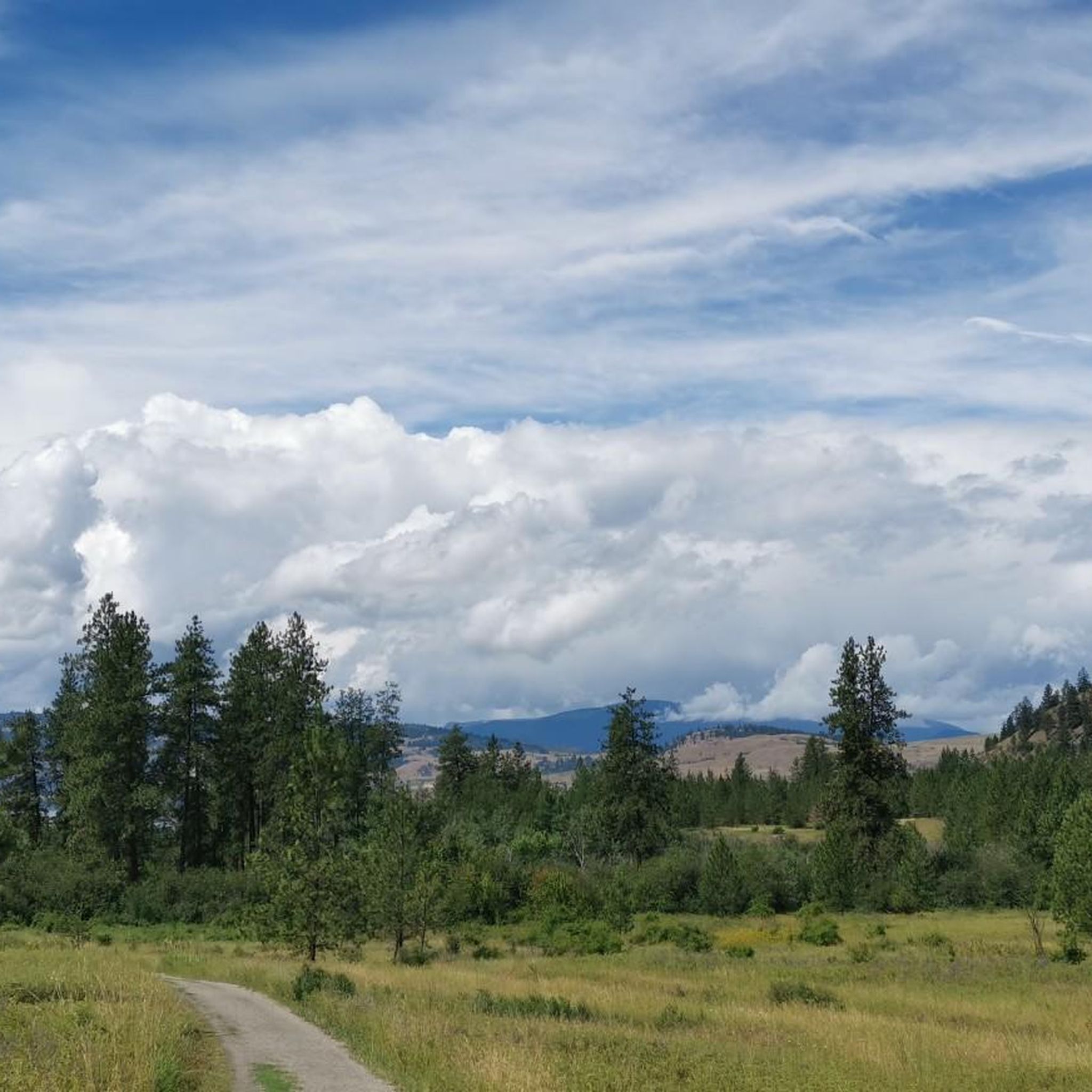
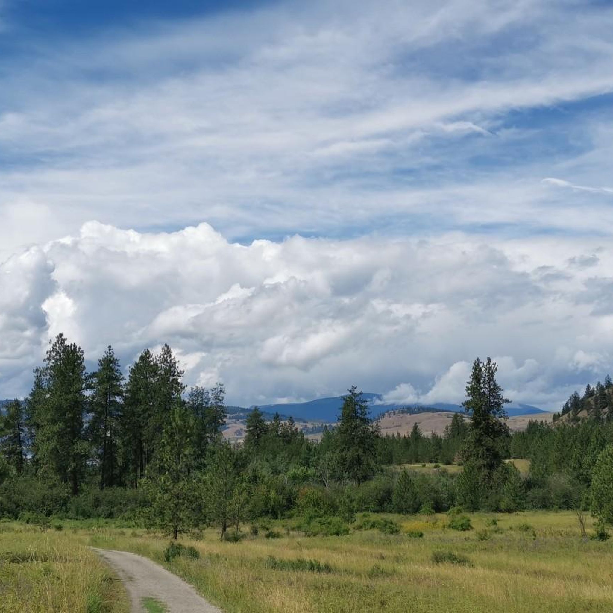
Hiking around Area D (Trinity/West Creighton) offers a range of trails through diverse landscapes. The area features routes that traverse forested sections, provide views of lakes, and include elevated points. Hikers can expect paths that vary from gentle gradients to more undulating terrain.

Best hiking trails around Area D (Trinity/West Creighton)

  • The most popular hiking route is Rimrocks Trail loop — Vernon, an easy 3.3 miles (5.4 km) trail that takes 1 hour 38 minutes to complete. This route…

Last updated: May 12, 2026

4.0

(1)

12

hikers

#1.

Rimrocks Trail loop — Vernon

5.36km

01:38

170m

180m

Easy hike. Great for any fitness level. Easily-accessible paths. Suitable for all skill levels.

Navigate with device

Send to Phone

Save

Easy

1

hikers

5.37km

01:47

250m

250m

Easy hike. Great for any fitness level. Easily-accessible paths. Suitable for all skill levels.

Easy
guide_signup
Let us show you the way with the komoot mobile app
With a free komoot account, you can easily find, customize, and navigate endless outdoor adventures.

Sign up for free

Easy hike. Great for any fitness level. Easily-accessible paths. Suitable for all skill levels.

Easy

Moderate hike. Good fitness required. Easily-accessible paths. Suitable for all skill levels.

Moderate

Easy hike. Great for any fitness level. Easily-accessible paths. Suitable for all skill levels.

Easy
Sign up for free to see 21 more hikes around Area D (Trinity/West Creighton).

Get access to more routes and recommendations from other explorers.

Sign up for free

Already have an account?

Our route recommendations are based on thousands of hikes, rides, and runs completed by other people on komoot.

Start today with a free account

Your next adventure awaits.

Login or Signup
Popular around Area D (Trinity/West Creighton)

Cycling around Area D (Trinity/West Creighton)

Road Cycling Routes around Area D (Trinity/West Creighton)

MTB Trails around Area D (Trinity/West Creighton)

Running Trails around Area D (Trinity/West Creighton)

Gravel biking around Area D (Trinity/West Creighton)

Tips from the Community

Andrus
March 23, 2026, Aberdeen Columns Hiking Trail

This short trail takes you out to the impressive Aberdeen Columns, a collection of basalt columns formed through volcanic activity. The trailhead is about an hour from Vernon, BC and accessible via a dirt forest service road. It's passable in most vehicles but those with higher clearance will have a more comfortable drive.

0

0

Andrus
March 23, 2026, Aberdeen Columns

The Aberdeen Columns are basalt columns formed by volcanic activity long ago. Just like the world famous Giant's Causeway in the columns are mostly hexagonal and were formed when a deep lava flow cooled and cracks formed that permeated downward and created the distinct shapes you can see now.

0

0

Camel's Hump Hiking Trail begins on a rough forest service road that may require 4-wheel drive to reach. Orange flagging tape or signs mark the start of the hiking path. Climb through a dense mixed forest of Douglas fir, cedar, and western hemlock and up switchbacks to the “humps.”

0

0

Alex
November 11, 2025, Camel's Hump

From the Camel's Hump north, the vistas open greatly toward Mabel Lake, Vernon, the Monashee Mountains, and perhaps SilverStar ski on a clear day. Camel's Hump was the core of an ancient volcano that existed 40 million years ago.

0

0

Alex
November 11, 2025, Camel's Hump

From the first Camel's Hump viewpoint, there are views of the Creighton Valley and the forested mountains cradling the valley. The trail becomes a bit exposed near the summit ridge, and there are no guardrails around the viewpoint, though no technical climbing is required.

0

0

AaronLavanchy
October 31, 2025, Rimrock Trail

The Rimrock Trail is just 20 minutes from downtown Vernon, off the King Edward FSR. The trail begins as a logging road, but after 1.3 km, it turns into single track as it takes you through a forest of hemlock and cedar until you reach an impressive volcanic valley of old lava beds and lava spires. There is a rope in the lava fields if you need something to grab onto as you descend.

0

0

These ancient lava formations are the namesake of the trail. The lava spires look otherworldly and offer endless photography options.

0

0

Beautiful hike, nice fur trees, beautiful pine trees, nice open meadows,

0

0

Frequently Asked Questions

How many hiking trails are available in Area D (Trinity/West Creighton)?

There are over 20 hiking routes available in Area D (Trinity/West Creighton). These trails offer a mix of easy and moderate options, catering to various skill levels.

What types of landscapes can I expect to see while hiking in Area D (Trinity/West Creighton)?

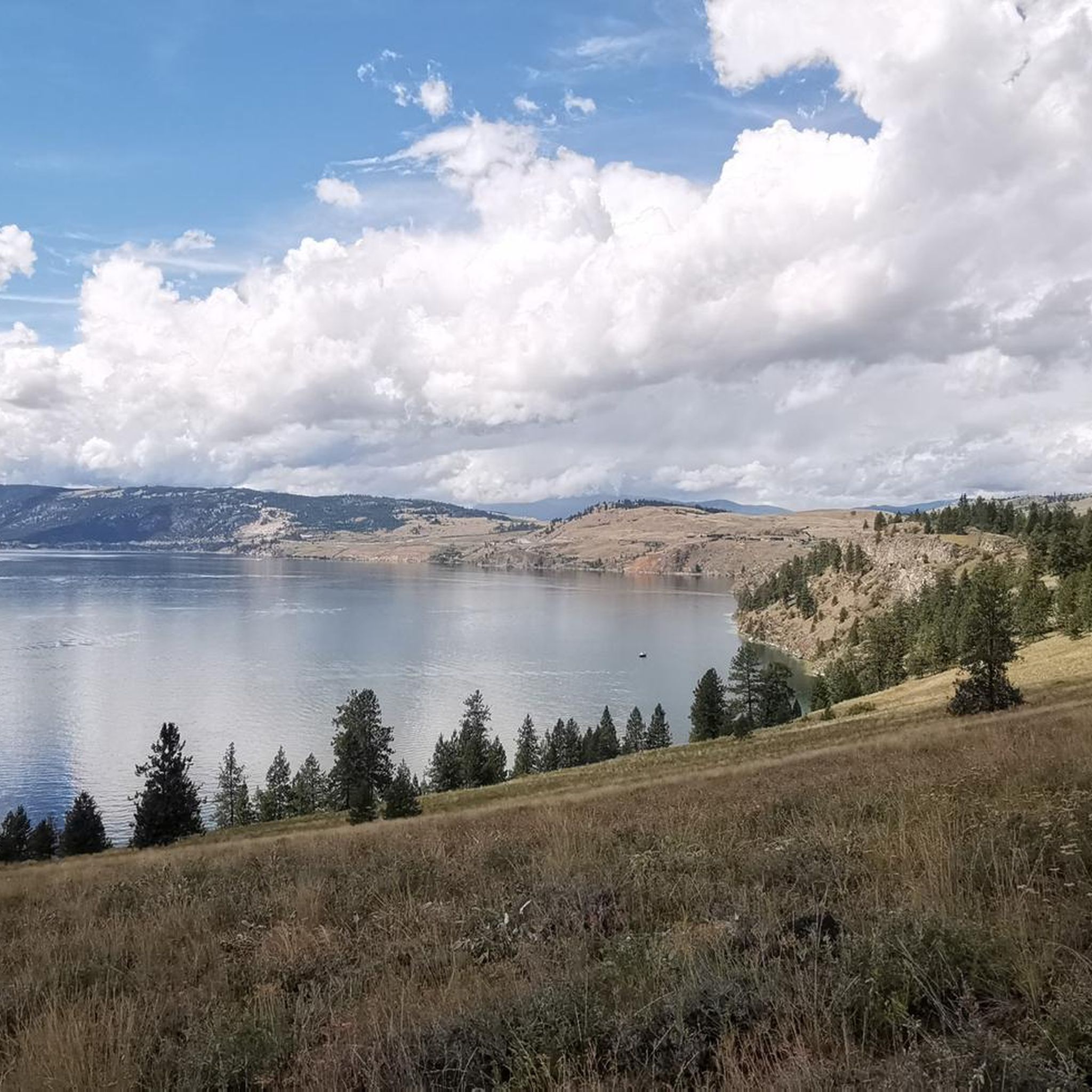
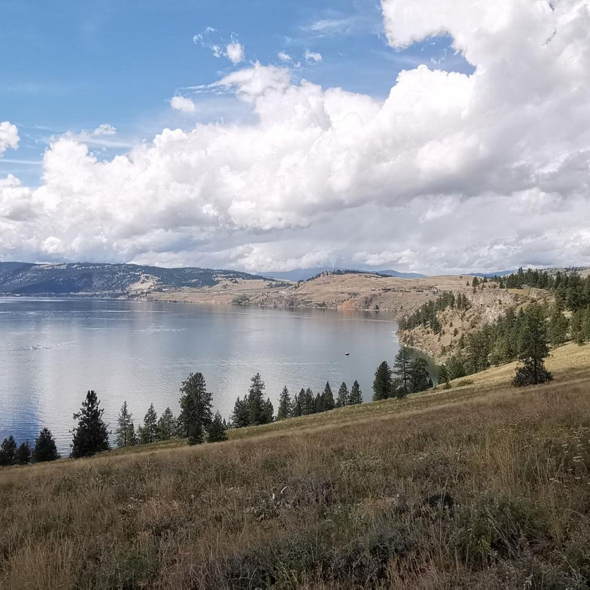
Hikers in Area D (Trinity/West Creighton) can expect diverse landscapes, including forested sections, elevated viewpoints, and stunning lake views, particularly of Kalamalka Lake. Trails like the View of Kalamalka Lake loop from Red Gate Parking Lot offer panoramic vistas of the lake.

Are there any easy hiking trails suitable for beginners in Area D (Trinity/West Creighton)?

Yes, approximately half of the trails in Area D (Trinity/West Creighton) are rated as easy. A great option for beginners is the Rimrocks Trail loop — Vernon, which is 3.3 miles long and features unique rocky formations.

Are there any circular hiking routes in Area D (Trinity/West Creighton)?

Yes, several trails in Area D (Trinity/West Creighton) are circular. For example, the View of Kalamalka Lake loop from Red Gate Parking Lot offers a 5.6-mile loop with varied terrain and beautiful lake views. Another option is the Upper Rattlesnake Viewpoint – Lower Rattlesnake Viewpoint loop from Red Gate Parking Lot.

What are some interesting places to explore or attractions near the hiking trails?

Near the hiking trails, you can explore the beautiful Kalamalka Lake, often referred to as the 'Lake of Many Colours'. You might also visit Kekuli Bay Provincial Park Campground or relax at Kin Beach. For a refreshment, the Rail Trail Café is also nearby.

What do other hikers enjoy most about the trails in Area D (Trinity/West Creighton)?

The trails in Area D (Trinity/West Creighton) are highly rated by the komoot community, with an average score of 4.6 stars from over 30 reviews. Hikers frequently praise the scenic lake views, particularly of Kalamalka Lake, and the well-maintained forested paths that offer a peaceful outdoor experience.

Are there any trails that lead to elevated viewpoints?

Absolutely. Many trails in Area D (Trinity/West Creighton) feature elevated sections that provide rewarding views. The Camel's Hump — Lumby trail, for instance, leads to a prominent elevated point offering scenic vistas of the surrounding area.

Are there any trails suitable for families with children?

Many of the easy-rated trails are suitable for families. The shorter, less strenuous loops, especially those with minimal elevation gain, are ideal for outings with children. The Juniper Beach loop from Red Gate Parking Lot is a good option for a family-friendly walk.

What is the best time of year to go hiking in Area D (Trinity/West Creighton)?

While specific seasonal data isn't provided, the presence of lakes and forested trails suggests that spring, summer, and fall would be excellent times for hiking in Area D (Trinity/West Creighton). These seasons typically offer pleasant weather for enjoying the lake views and natural surroundings.

Are there any trails that offer access to beaches or water activities?

Yes, some trails provide access to water features. The Juniper Beach loop from Red Gate Parking Lot leads towards Juniper Beach, offering opportunities to enjoy the lakeside environment. Additionally, Kin Beach is a nearby attraction accessible from some routes.

What is the longest hiking trail available in Area D (Trinity/West Creighton)?

Among the listed routes, the View of Kalamalka Lake loop from Red Gate Parking Lot is one of the longer options, covering approximately 5.6 miles (9.0 km). This moderate trail offers a comprehensive experience of the area's varied terrain and lake views.

Most popular routes around Area D (Trinity/West Creighton)

Easy hikes around Area D (Trinity/West Creighton)

Most popular attractions around Area D (Trinity/West Creighton)

Places to see

Store rating

Get inspired with the komoot mobile app

With a free komoot account, you can easily find, customize, and navigate endless outdoor adventures.

or

Join komoot Now

Store rating

Explore more

Browse the best Hikes in other regions.

Rocky MountainsSelkirk MountainsMonashee MountainsElectoral Area AVancouverAlberni-ClayoquotMetro Vancouver Regional ParksVancouver IslandArea A (Kicking Horse/Kinbasket Lake)Area C (Pemberton Valley/Mount Currie/D'Arcy)Area D (Elaho/Garibaldi)BurnabyEast Central Okanagan Electoral AreaArea B (South Fraser Canyon/Sunshine Valley)Fraser Islands Regional Park ReservePurcell MountainsFraser River Delta -- RamsarArea G (Forster Creek/Mount Assiniboine)Area F (McConnell Creek/Hatzic Prairie)NanaimoSurreyArea E (Chilliwack River Valley)Surrey Bend Regional ParkTynehead Regional ParkSunshine Coast Regional DistrictCentral Okanagan JYoho National ParkBrackendale Eagles Provincial ParkArea B (Shelter Bay/Mica Creek)Cariboo MountainsArea D (Oyster Bay/Buttle Lake)Area A (Kyuquot/Nootka/Sayward)North Okanagan BCoquitlam WatershedLangleyAbbotsfordKootenay National ParkArea A (Wells Gray Country)Stave West Forest & Recreation AreaArea C (Moyie/Bull River)Area C (Arrowsmith-Benson)Stikine RegionColony Farm Regional ParkHazelton MountainsGaribaldi Provincial ParkRichmondPacific Rim National Park Reserve - Long Beach UnitArea P (Rivers and the Peaks)Blackcomb Glacier Provincial ParkArea A (Baynes Sound)Wells Gray Provincial ParkSaanichArea F (Grindrod/Ashton Creek/Mabel Lake)Glen Valley Regional ParkAkamina-Kishinena Provincial ParkBlue Mountain Recreation SiteArea F (Columbia Lake/Windermere Lake)Pitt MeadowsMaple RidgeCowichan Valley GBeaufort East WoodlandsArea H (Robson Valley/Canoe)Təmtəmíxʷtən/Belcarra Regional ParkLittle Qualicum Falls Provincial ParkStawamus Chief Provincial ParkOkanagan Mountain Provincial ParkArea N (Beautiful Nicola Valley - South)Stave LakeWhistler Interpretive ForestArea B (Lake Koocanusa)Upper Little Qualicum River WoodlandsShowh Lakes-Ancient Cedars Trail Recreation SiteRobert'S Lake Regional ParkBurns Bog Ecological Conservancy AreaIona Beach Regional ParkBeaver Lodge Forest LandsNorth CowichanEagle Mountain Recreation SiteMount Revelstoke National ParkArea C (Sasquatch Country)Area H (The Slocan Valley)Telemark Cross-Country Ski Trails Recreation SiteCallaghan ConservancyCypress Provincial ParkColumbia National Wildlife AreaArea H (Lighthouse Country)Area G (Deroche/Dewdney/Sumas Mountain)Deas Island Regional ParkVictoriaCampbell Valley Regional ParkArea H (Manning Park/Tulameen/Siwash)Alberni Beaufort Range WoodlandsArea A (Upper Flathead/Elk Valley)Area L (Grasslands)Area C (Chilako River/Nechako)Kanaka Creek Regional ParkDeltaArea A (North Skeena)Widgeon Marsh Regional Park ReserveKennedy Lake Provincial ParkSooke Hills Wilderness Regional ParkStephens Coyote Ridge Regional ParkGowlland Tod Provincial ParkFraser Valley DBlaney Bog Regional Park ReserveArea C (Puntledge/Black Creek)Capital GCodd Wetland Ecological Conservancy AreaTantalus Provincial ParkSumas Mountain Regional ParkArea B (Discovery Islands/Mainland Inlets)Sayres Lake Recreation SiteȽáu,Welṉew̱/John Dean Provincial ParkMinnekhada Regional ParkCapilano River Regional ParkArea D (Falkland/Silver Creek)Woodley Range Ecological ReserveSx̱Ótsaqel / Chilliwack Lake Provincial ParkPinecone Burke Provincial ParkPacific Rim National Park Reserve - West Coast Trail UnitEpper Passage Provincial ParkGolden Ears Provincial ParkGrouse Mountain Regional ParkE.C. Manning Provincial ParkCultus Lake Provincial ParkArea C (Blind Bay/Sorrento)Upper Puntledge River WoodlandsArea A (Malaspina/Toba)Stanley Park National Historic SiteBurnaby Lake Regional ParkShuswap LakeAlouette LakeElk Falls Provincial ParkFlorence Lake Recreation ReserveUpper Qualicum River WoodlandsStrathcona Provincial ParkCrippen Regional ParkArea F (Alberni Highway)Mount Terry Fox Provincial ParkArea B (Paradise Valley)Lower Seymour Conservation ReserveCentral SaanichCrown Land ReserveArea A (Upper Bridge River Valley)Lynn Headwaters Regional ParkMount Gardner Recreation SiteUpper Trent River WoodlandsSeymour WatershedBuntzen Lake Recreation AreaCowichan Valley FVictoria Harbour Migratory Bird SanctuaryArea J (Copper Desert Country)Pacific Spirit Regional ParkGoldstream Provincial ParkSpallumcheenArea D (Lardeau Valley/Duncan Lake)Macmillan Provincial ParkMount Geoffrey Escarpment Provincial ParkArea I (Youbou / Meade Creek)Helliwell Provincial ParkJuan De Fuca Provincial ParkArea E (Eagle River Valley)Mount Arrowsmith Regional Park (Acrd)Boyle Point Provincial ParkLiumchen Ecological ReserveAyum Creek Regional Park ReserveUbc Malcolm Knapp Research ForestBrandywine Falls Provincial ParkArea K (The Arrow Lakes)Area E (Cherryville/East Creighton)Nanaimo GBoundary Bay Regional ParkArea E (Naramata/Greyback)Area H (Canim Lake/Forest Grove)Harrison LakeMount Seymour Provincial ParkArea E (Saint Mary/Skookumchuck)Area C (Lois Lake/Saltery Bay)Pitt LakeArea B (Lower Columbia/Old Glory)Skeena MountainsMount Arrowsmith Massif Regional Park (Rdn)Alberni - Ash River WoodlandsArea A (Hudson Bay Mountain)Stamp River Provincial ParkCoquihalla Summit Recreation AreaBurnaby Mountain Conservation AreaEsté-Tiwilh/Sigurd Creek ConservancyInland Lake Provincial ParkNorth SaanichCampbell LakeCapilano WatershedMount Assiniboine Provincial ParkHillkeep Regional ParkK'Ómoks Royston LandsBowen Island Ecological ReservePowell LakeCougar Canyon Ecological ReserveMount Robson Provincial ParkNairn Falls Provincial ParkWoodworth Lake ConservancyArea B (Cayoosh/Pavilion)Comox Valley B (Lazo North)Stebbings Road Community ForestMyra-Bellevue Provincial ParkMain Lake Provincial ParkMount Begbie Recreation SiteMt. Macpherson Cross-Country Trails Recreation SiteThacker Regional ParkSasquatch Provincial ParkNorth Cowichan Municipal Forest ReserveTsable Lakes WoodlandsArea F (Willow River/Upper Fraser)Elk Lakes Provincial ParkStrathcona Park - Upper Puntledge River WatershedOkanagan LakeArea B (Shawnigan Lake)Vargas Island Provincial ParkHeight Of The Rockies Provincial ParkMt Begbie Area Recreation SiteRace Rocks Ecological ReserveKoksilah River Provincial ParkDawley Passage Provincial ParkKootenay Boundary EArea F (Trout Creek Valley)Area F (Scotch Creek/Seymour Arm)Sooke Mountain Provincial ParkKalamalka Lake Provincial ParkCarmanah Walbran Provincial ParkWeaver Lake Recreation SiteArea G (Salmo Valley)Owl Lake Recreation ReserveArea B (Quatsino Sound/Cape Scott)Okanagan-Similkameen DAlberni - Great Central Lake WoodlandsEnglish Lake Provincial ParkArea O (Lower North Thompson)Area C (Hyde Creek/Benson Valley)Northern RockiesMount Fernie Provincial Park

Nearby adventure guides

Things to Do in the Monashee Mountains

background

Get ready to conquer new peaks

Sign up for Free

Explore
RoutesRoute plannerFeaturesHikesMTB TrailsRoad cycling routesBikepackingSitemap
Download the app
Follow Us on Socials

© komoot GmbH

Privacy Policy