The best walks and hikes around Cowichan Valley F
4.6
(197)
1,261
hikers
13
hikes
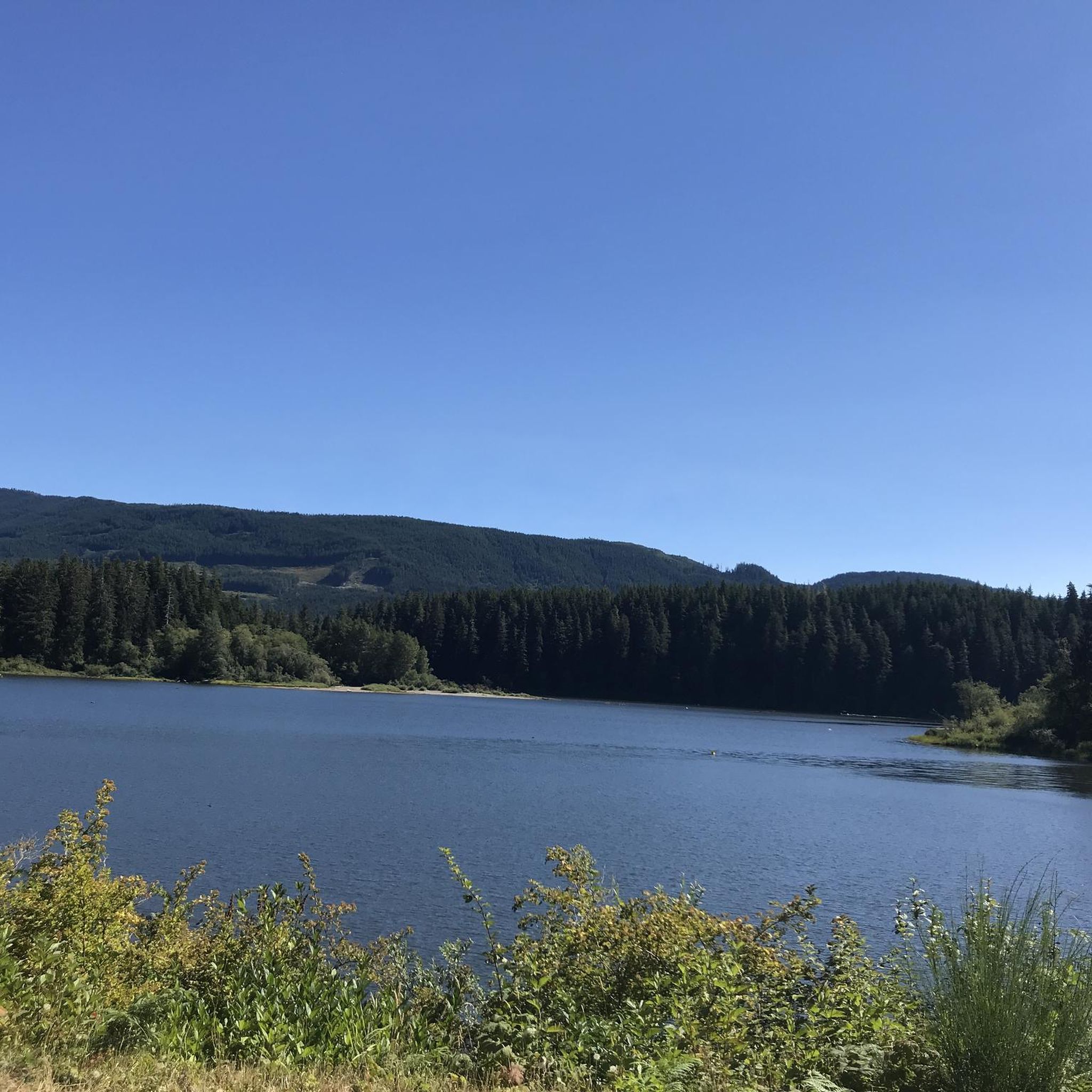
Hiking around Cowichan Valley F presents diverse landscapes, including coastal areas, lush forests, and numerous lakes and mountains. The region is characterized by a mix of easy, flat paths and more challenging mountain ascents. Significant natural features like the Cowichan River offer woodland trails, while old-growth forests provide unique exploration opportunities. The terrain ranges from gentle paths to more challenging ascents, with numerous lakes and mountainous areas providing dramatic vistas.
Best hiking trails around Cowichan Valley F
- The most popular…
Last updated: October 9, 2026
79
hikers
12.0km
03:10
100m
100m
Moderate hike. Good fitness required. Easily-accessible paths. Suitable for all skill levels.
5.0
(2)
3
hikers
2.17km
00:40
80m
80m
Easy hike. Great for any fitness level. Easily-accessible paths. Suitable for all skill levels.

2
hikers
8.18km
02:11
90m
90m
Moderate hike. Good fitness required. Easily-accessible paths. Suitable for all skill levels.
1
hikers
4.20km
01:13
100m
100m
Hike the easy 2.6-mile Carmanah Valley Trail in Carmanah Walbran Provincial Park, exploring ancient old-growth rainforest and giant trees.
29.0km
07:30
160m
160m
Hard hike. Very good fitness required. Easily-accessible paths. Suitable for all skill levels.
Get access to more routes and recommendations from other explorers.
Already have an account?
Our route recommendations are based on thousands of hikes, rides, and runs completed by other people on komoot.
Start today with a free account
Your next adventure awaits.
Other adventures around Cowichan Valley F

Tips from the Community

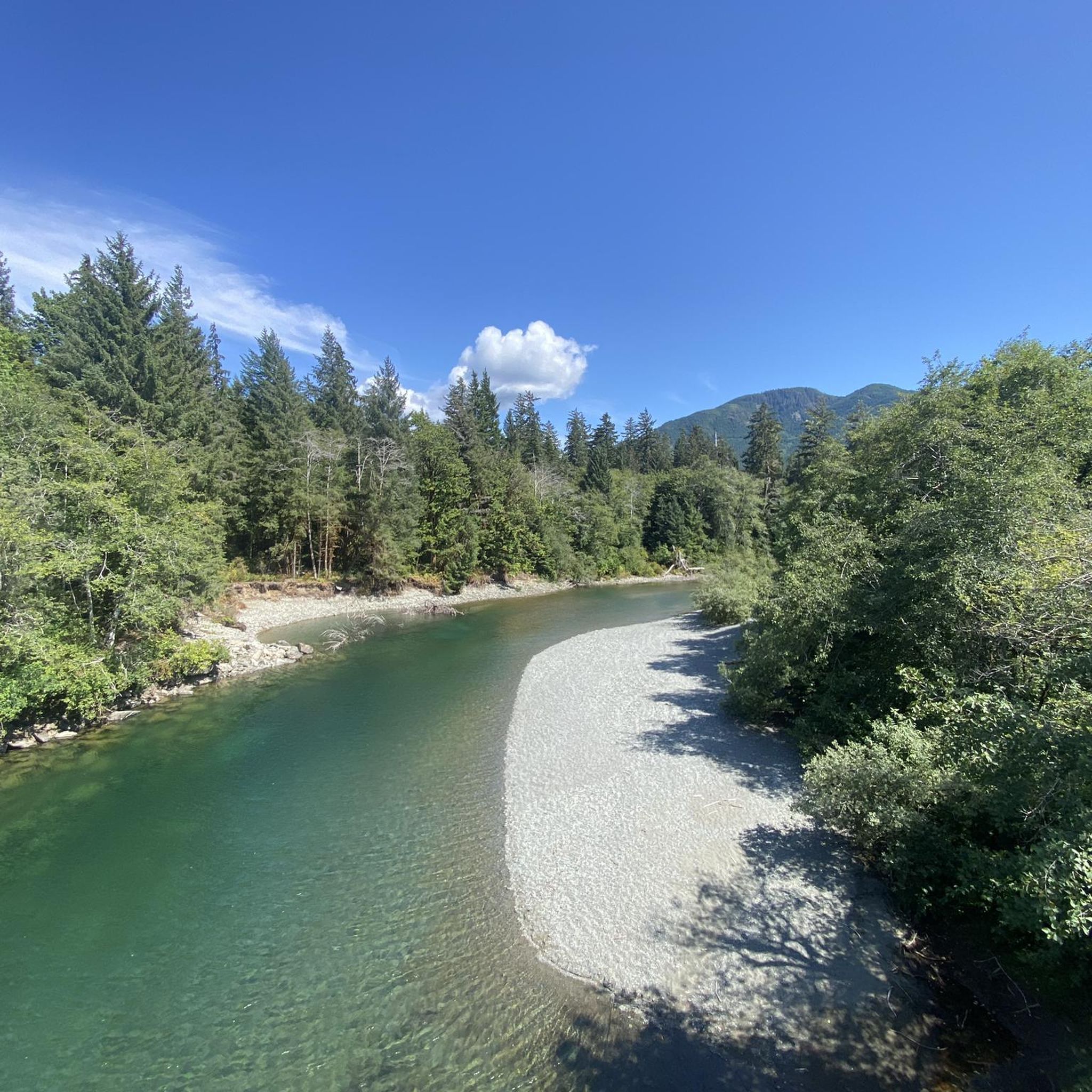
The Greendale Trestle Bridge was once part of the Canadian Pacific Railway, and has now been converted into a pedestrian and cyclist footbridge, part of the Cowichan Valley Trail and Trans Canada Trail. Beneath the bridge is crystal-clear water. In summer, the water is dotted with colourful inner tubes. In the autumn, it's a great vantage point to peer down and watch salmon spawning in the Cowichan River gravels.
0
0
The Cowichan Valley Trail, which spans 122 kilometres, is divided into a handful of sections. The Malahat to Shawnigan Lake stretching 19 kilometres, Shawnigan Lake to Duncan spanning 25 kilometres, and the Duncan to Lake Cowichan section coming in the longest, 28 kilometres. There are also the northern extensions of the trail, Duncan to Chemainus, and then Chemainus to Saltair. This is the Duncan to Lake Cowichan segment which follows the 1913 CN railway grade up to the Trans Canada Trail western terminus. It passes through Cowichan River Provincial Park, crosses the Holt Creek and Marie Canyon trestles. The surface of the trail is made up of mostly hard-packed crushed gravel, rather than pavement or loose dirt. The trail is also pretty wide and flat since it's a rail trail.
0
0
This is one of two Trans Canada Trail Western Terminus. This one, in the town of Lake Cowichan, is the westernmost physical point of the contiguous Trans Canada Trail network. There is a designated monument and pavilion marking the spot right across from the local visitor centre. The other Western Terminus is in Clover Point. This spot is also a sharp turn on the Cowichan Valley Trail, which spans 122 kilometres. This is about the halfway point and the trail turns from heading east to back west again. The town of Lake Cowichan has restaurants, hotels and is a recreation hub for bikers, walkers, and runners using its trails and boaters and kayakers on the lakes water.
0
0

Cribs Creek flows through the middle of this campsite, dividing the sandy beach in two, before reaching a natural breakwater of rocks at the ocean’s edge. There are places to pitch your tent on both sides of the creek, along with little open forested areas behind the beach, though camping closer to the forest is advisable as the lower beach can flood at higher tides. There is an outhouse and two food lockers, but this spot fills up quickly because it sits in the middle of a 17-kilometre stretch with no other designated campsites. If the site is full, or you’re looking for a quieter overnight, Carmanah Creek Campsite is roughly 4 kilometres south along this same beach.
1
0
This campsite sits in the middle of one of the most challenging and dramatic sections of the trail, with towering ladder systems in both directions and an impressive cable car crossing spanning the creek above. The creek flows crystal clear just steps from your tent, deep enough for a swim, with small sea caves accessible on the far shore and the Pacific Ocean a short walk away. The campsite has two outhouses, three food caches, and a pebble beach stretching along the ocean with additional forest spots that are ideal if you’re looking for a bit more shelter.
0
0
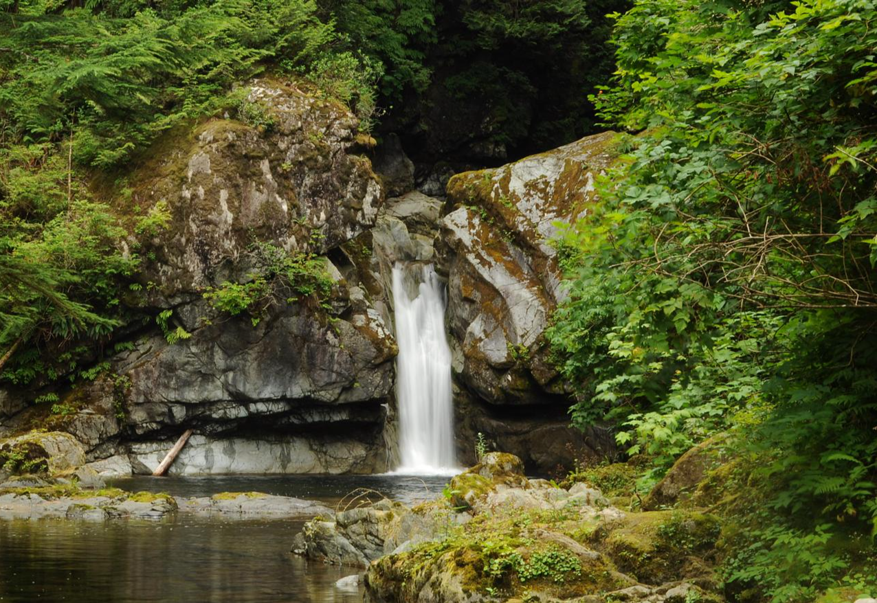
This is a beautiful stretch around Bonilla Point, where you’ll find plenty of tidepools, rock pillars topped with trees, huge mussel patches, and fossils embedded in wave-carved rock all within a short distance of each other. There is a lovely campsite at the edge of the forest, just off the beach, where Bonilla Falls pour into a clear pool at the base of the cliff, and ocean views in both directions, making this a fantastic place to slow down and stay awhile.
0
0
Carmanah Creek flows through a wide channel cut deep into the sand beach before reaching the ocean, with a cable car connecting the forest on either side. The view from the cable car is one of the best of any crossing on the West Coast Trail, with the creek cutting across the open beach toward the ocean, and a stunning sunset view on offer if you happen to cross in the evening. At low water levels, the creek can sometimes be forded on foot, though most hikers take the cable car and are glad they did.
0
0
Carmanah Point Lighthouse has overlooked the entrance to the Juan de Fuca Strait since 1891, when its first light shone out over the coastline that sailors had long called the Graveyard of the Pacific. The current concrete octagonal tower was built in 1922 to replace the original combined lighthouse and dwelling, and it looks much the same today as it did a century ago. Grey whales pass close by during their spring and fall migrations, and Steller sea lions hang out on the nearby rocks year-round. This spot also marks the northern edge of the critical habitat of the Southern Resident Killer Whales, making it one of the best wildlife viewpoints on the entire trail.
0
0
Frequently Asked Questions
How many hiking trails are available in Cowichan Valley F?
Cowichan Valley F offers a wide selection of routes, with over 30 hiking trails to explore. These range from easy strolls to more challenging mountain ascents, catering to various skill levels.
What is the best time of year to go hiking in Cowichan Valley F?
Thanks to its Mediterranean-like climate, Cowichan Valley F is suitable for hiking year-round. Mild winters and warm summers create ideal conditions for outdoor recreation, though spring and fall offer particularly pleasant temperatures and vibrant scenery.
Are there any circular hiking routes in Cowichan Valley F?
Yes, there are several circular routes available. A notable option is the Bald Mountains First Summit loop from Cowichan Valley, which is a moderate 5.2-mile (8.3 km) trail offering mountainous terrain. Other loop options include the Stoney Hill Trail Loop and the Heart Lake loop.
What natural features or landmarks can I see while hiking in Cowichan Valley F?
The region is rich in natural features and landmarks. You can visit the impressive Kinsol Trestle, Cowichan Valley Trail, explore the unique Botanical Beach Tide Pools, or hike along the scenic Cowichan River. The area also boasts old-growth forests and diverse coastal beauty.
Are there any lakes I can explore near the hiking trails?
Absolutely. Cowichan Valley F is home to numerous beautiful lakes. You can find trails near Heart Lake, Lake Cowichan, Lizard Lake, and Fairy Lake, offering serene waters and picturesque views.
What do other hikers appreciate most about the trails in Cowichan Valley F?
The trails in Cowichan Valley F are highly regarded by the komoot community, with an average score of 4.6 stars from over 150 reviews. Hikers frequently praise the diverse terrain, from coastal paths to lush forests, and the variety of options for different ability levels.
Are there family-friendly hiking options in Cowichan Valley F?
Yes, Cowichan Valley F offers several family-friendly trails. The Carmanah Valley Trail is an easy 2.6-mile (4.2 km) route, perfect for families. The Kinsol Trestle is also a popular and accessible destination for all ages.
Can I bring my dog on the hiking trails in Cowichan Valley F?
Many trails in Cowichan Valley F are dog-friendly, but it's always recommended to check specific trail regulations or park rules before heading out, as some areas may require dogs to be on a leash or have restrictions.
Where can I find trails with good viewpoints in Cowichan Valley F?
For rewarding views, consider trails on Mount Tzouhalem, which offers panoramas of Duncan, Cowichan Bay, and Salt Spring Island. Old Baldy Mountain and the Stoney Hill Trail Loop also provide spectacular viewpoints of the surrounding lakes and Sansum Narrows.
Are there any trails that explore old-growth forests?
Yes, you can experience majestic old-growth trees in the region. The Harris Creek Spruce is accessible via a short hike, and while further afield, Carmanah-Walbran Provincial Park is renowned for its big trees. The Malahat Skywalk also provides an elevated walk through a forest of Madrona and Douglas fir.
What are some lesser-known or 'hidden gem' trails in the Cowichan Valley F?
Beyond the popular spots, explore trails like the Stoney Hill Trail Loop for spectacular views, the Christie Falls loop, or the Wildflower Reserve in Honeymoon Bay, known for its rare pink fawn lilies in spring. The Timberland Lake Loop also features a suspension bridge.
Is public transport available to reach hiking trailheads in Cowichan Valley F?
Public transport options to reach specific trailheads in Cowichan Valley F can be limited. It's advisable to check local transit schedules for routes that might serve areas near trail access points, but many trails are best accessed by car.
Most popular routes around Cowichan Valley F
Most popular attractions around Cowichan Valley F

Get inspired with the komoot mobile app


Explore more
Browse the best Hikes in other regions.
