The best MTB trails around Area C (Pemberton Valley/Mount Currie/D'Arcy)
4.2
(67)
2,110
riders
72
rides
Mountain biking around Area C (Pemberton Valley/Mount Currie/D'Arcy) offers a rugged outdoor experience within British Columbia's Sea-to-Sky corridor. The region is characterized by the majestic Mount Currie, the fertile Pemberton Valley, and diverse water features like Lillooet Lake and the Birkenhead River. Extensive trail networks, developed on sandy soil, cater to various skill levels, providing options from mellow singletrack to technical descents.
Best mountain bike trails around Area C (Pemberton Valley/Mount Currie/D'Arcy)
- The most popular mountain bike trail is Disco Boy – Lost Lake loop from Whistler, a 10.7 miles (17.2 km) moderate trail that takes 1 hour 29 minutes to complete. This route offers a mix of forested singletrack and scenic lake views.
- Another top favourite among local mountain bikers is Seaplanes on Green Lake – Lost Lake loop from Alpine Meadows, a difficult 12.0 miles (19.4 km) path. This trail features varied terrain around Green Lake and the Lost Lake area.
- Local mountain bikers also love the Mountainbike loop from Whistler, a 9.4 miles (15.1 km) trail leading through varied terrain, often completed in about 1 hour 58 minutes.
- Mountain biking around Area C (Pemberton Valley/Mount Currie/D'Arcy) is defined by snow-capped mountains, fertile valleys, and extensive trail networks. The region offers options for different ability levels, from beginner-friendly paths to advanced, technical descents.
- The routes in Area C (Pemberton Valley/Mount Currie/D'Arcy) are highly rated by the komoot community with an average score of 4.5 stars from more than 70 reviews. More than 2700 mountain bikers have used komoot to explore Area C (Pemberton Valley/Mount Currie/D'Arcy)'s varied terrain.
Last updated: August 24, 2026
5.0
(2)
222
riders
15.5km
01:59
730m
730m
Hard mountain bike ride. Good fitness required. Advanced riding skills necessary. Some portions of the route may require you to push your bike.
5.0
(1)
115
riders
43.0km
05:06
1,590m
1,590m
Hard mountain bike ride. Very good fitness required. Advanced riding skills necessary. Some portions of the route may require you to push your bike.

Sign up for free
4.3
(3)
88
riders
22.5km
02:15
550m
540m
Hard mountain bike ride. Good fitness required. Advanced riding skills necessary. Some portions of the route may require you to push your bike.
4.9
(11)
92
riders
35.1km
02:29
470m
470m
Hard mountain bike ride. Good fitness required. Advanced riding skills necessary. Some portions of the route may require you to push your bike.
3.0
(4)
66
riders
31.8km
02:32
550m
550m
Hard mountain bike ride. Good fitness required. Advanced riding skills necessary. Some portions of the route may require you to push your bike.
Get access to more routes and recommendations from other explorers.
Sign up for free
Already have an account?
Our route recommendations are based on thousands of hikes, rides, and runs completed by other people on komoot.
Start today with a free account
Your next adventure awaits.
Login or Signup
Popular around Area C (Pemberton Valley/Mount Currie/D'Arcy)

MTB Road Trip Sea-to-Sky – dream trails in British Columbia

Vancouver roundtrip — Bikepacking British Columbia

Pacific charm and peak happiness in British Columbia

Forests, desert, wilderness - day tours in British Columbia

Breathtaking British Columbia — hikes near Squamish & Whistler
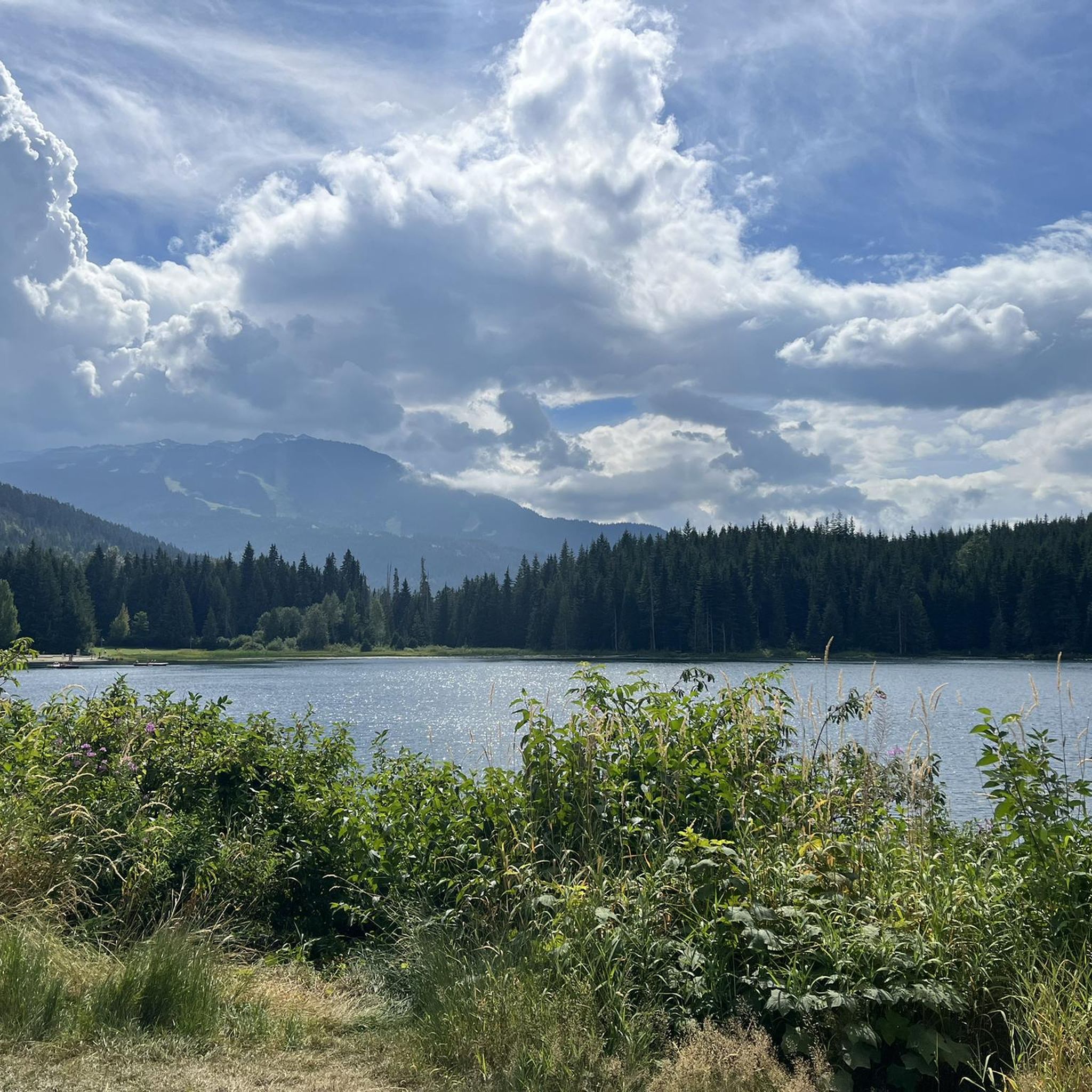
Hiking around Area C (Pemberton Valley/Mount Currie/D'Arcy)
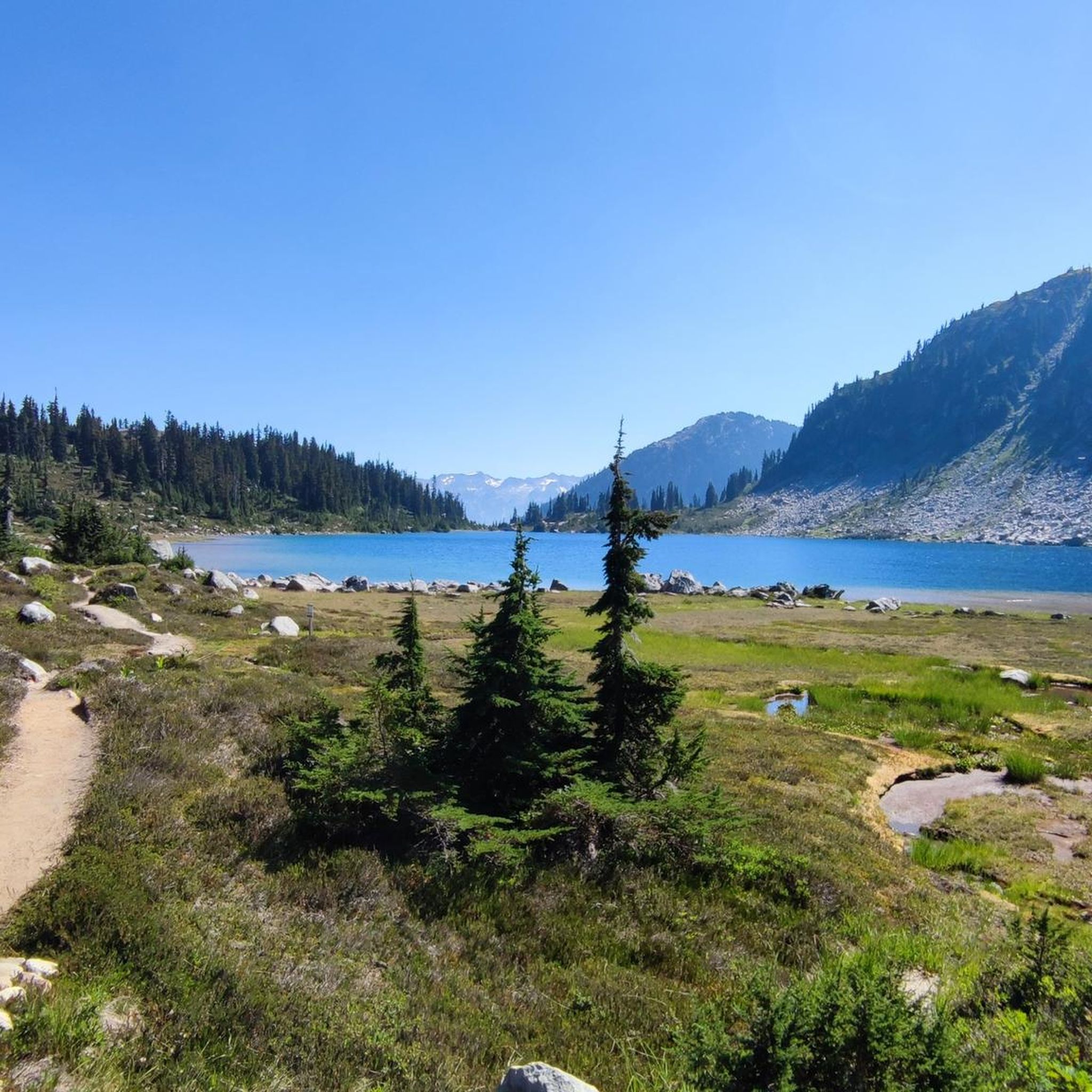
Cycling around Area C (Pemberton Valley/Mount Currie/D'Arcy)
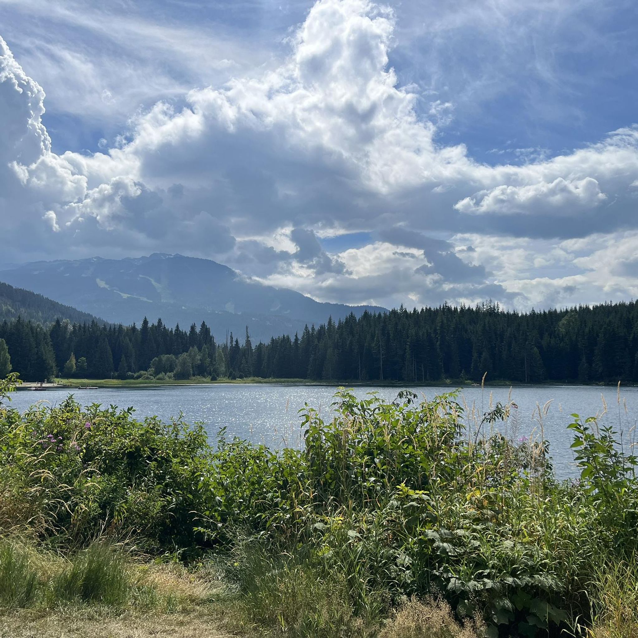
Running Trails around Area C (Pemberton Valley/Mount Currie/D'Arcy)
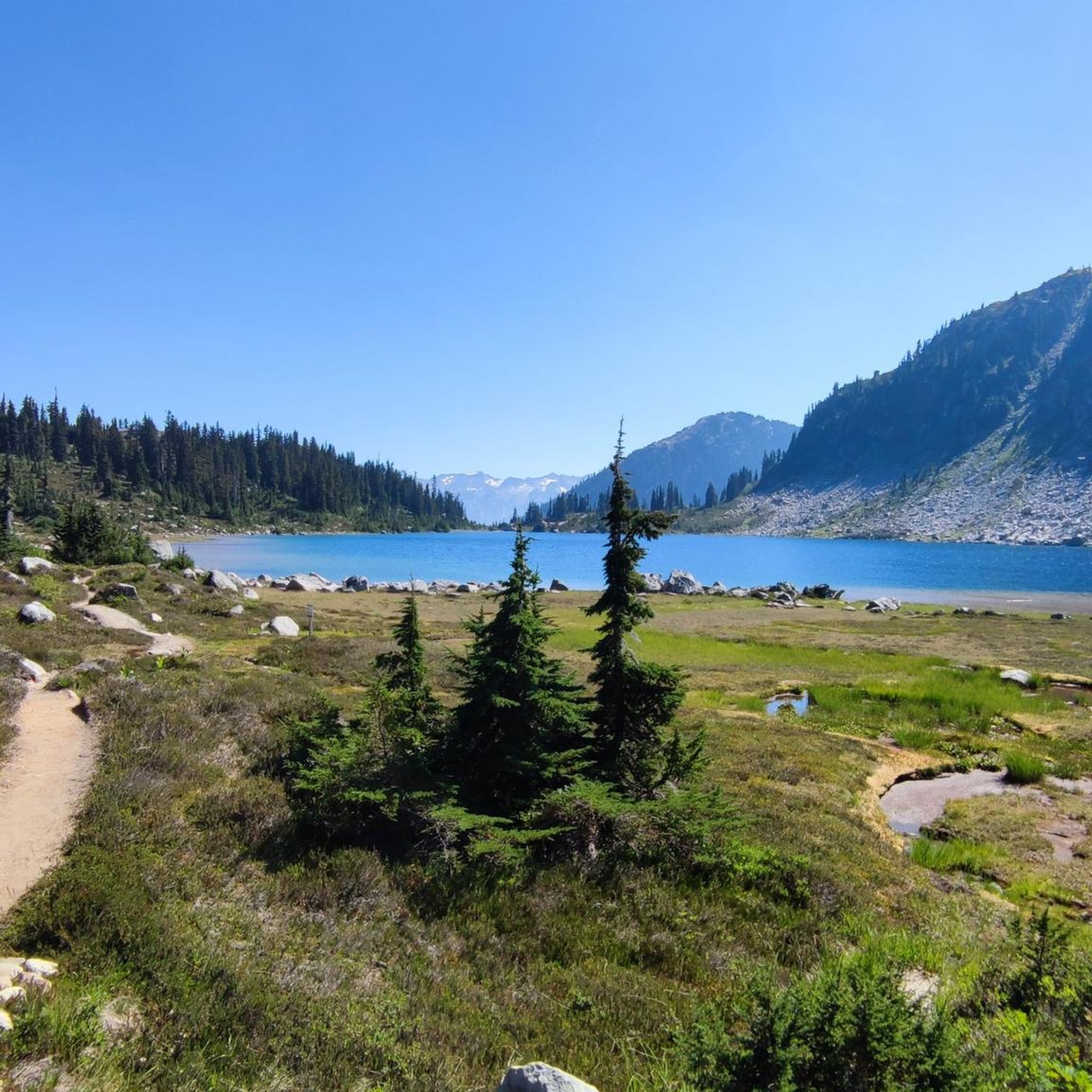
Road Cycling Routes around Area C (Pemberton Valley/Mount Currie/D'Arcy)
Other adventures around Area C (Pemberton Valley/Mount Currie/D'Arcy)


Tips from the Community

Lost Lake Beach is part of Lost Lake Park, with a sandy beach bordered by a grassy lawn. Swimming is allowed, but it will be refreshing! Other amenities the park has to offer include picnic areas, BBQs, and restrooms as well as a parking area.
1
0

Centennial Trail is a picturesque multi-use path that winds through a forested landscape and is a mix of gravel and natural surfaces. As it meanders through areas of varying tree density, it offers a peaceful escape and is a lovely contrast to some of the other crowded trails.
0
0
The Cheakamus River is known for its blue and turquoise water and the dramatic canyon it thunders through. The color comes from glacial melt from the nearby Coast Mountains. Hikers and bikers will pass rock cliffs and gorges carved by centuries of rushing water. The Cheakamus River is often dotted with fly fishers fishing for rainbow trout and bull trout. When the water is flowing strongly, whitewater paddlers brave the cold waters. In the fall, the surrounding trees turn amazing colors.
1
0

After a long but beautiful climb you can ride many Rockslabs with a nice view on the mountains. Further down in the forest the trails gets a little bit rougher.
0
0

Definitely the best trails in the world!!!!
1
0

Green Lake is the largest lake in the Whistler region. To the north, it is the source of the Green River, which drains into the Lillooet River. Green Lake was formed during the last Ice Age, when sediment was deposited in the U-shaped valley, forming lake basins. The lake's green color is due to the glacial silt of Fitzsimmons Creek. From the wooden boardwalk on the southwest shore, we have a magnificent view of the lake and the seaplane landing. In the background, we can see the peaks of the Garibaldi Range, from Wedge Mountain to Mount Currie, including Mount Weart with the Armchair Glacier. https://www.piquenewsmagazine.com/local-news/naturespeak-awesome-geology-sites-around-whistlergreen-lake-part-2-7576124
2
0
The Lost Lake PassivHaus is the first passive house in Canada. It is located at the main entrance of Lost Lake Park. The building was initially used as accommodation for the Austrian Olympic Committee and Austrian Broadcasting, which broadcasted live to Austrian audiences during the 2010 Winter Olympics. After the Games, the Austrian Passive House Group donated it to the Municipality of Whistler. The building now serves as a day lodge, office and meeting space for the Whistler Off-road Cycling Association (WORCA) and Whistler Nordics, as well as a cross-country ski and mountain bike rental shop and a café. Source: https://www.passivehousecanada.com/projects/lost-lake-passive-house/
3
0
The Treacherous Cretins Trail is a challenging mountain bike trail in the Lost Lake area.
2
0
Frequently Asked Questions
What types of mountain bike trails can I expect in Area C (Pemberton Valley/Mount Currie/D'Arcy)?
Area C offers a wide variety of mountain bike trails, catering to all skill levels. You'll find everything from mellow climbs and forested singletrack to fast flow trails and steep, technical descents with exposed rock features. The region's sandy soil and microclimate allow for riding almost year-round, with trails like those in the One Mile Lake Trails area offering beginner-friendly options, while Upper Mackenzie provides challenging lines for advanced riders.
Are there mountain bike trails suitable for beginners in the Pemberton Valley area?
Yes, the Pemberton Valley offers several beginner-friendly mountain bike trails. The One Mile Lake Trails, located near town, feature mellow climbs, forested singletrack, and scenic lake views. Trails such as Funky Town, Dog Beach, and Creampuff are good starting points. The Sea to Sky Trail also provides a mellow gravel path suitable for those new to mountain biking.
What are some challenging mountain bike trails for experienced riders in Area C?
Experienced riders looking for a challenge will find plenty of options. The Mosquito Lake / Mackenzie Basin area is known for its blend of fast flow and steep technical trails, including Hawaii Five-O and Rusty Trombone. For even more advanced lines, Upper Mackenzie offers trails like Gravitron, Jack the Ripper, and Back Pains, featuring exposed rock and high-speed descents. You can explore routes like Into the Mystic (Lower) – On the Rocks loop from Whistler Station, which is rated difficult.
What natural attractions can I see while mountain biking in Area C?
The region is rich in natural beauty. You can encounter spectacular waterfalls like Nairn Falls and Brandywine Falls. The area also features stunning lakes such as Garibaldi Lake, Lower Joffre Lake, and Middle Joffre Lake, which offer beautiful scenery and are accessible from Area C.
Are there any unique landmarks or points of interest near the mountain bike trails?
Yes, beyond natural features, you can discover unique points of interest. The Whistler Train Wreck is a notable attraction where derailed train wagons have been transformed into an outdoor art installation amidst the forest. The majestic Mount Currie itself is a prominent natural landmark, providing a stunning backdrop for the entire area.
What is the best time of year to go mountain biking in Area C?
The sandy soil and microclimate of Area C allow for mountain biking almost year-round. However, the prime season for mountain biking typically runs from spring through fall, when all trails are generally clear of snow and conditions are optimal. Always check local trail conditions before heading out, especially during shoulder seasons.
Are there any loop trails available for mountain biking?
Yes, many trails in Area C are designed as loops, offering varied terrain and scenic views. For example, the Disco Boy – Lost Lake loop from Whistler is a popular moderate route, and the Seaplanes on Green Lake – Lost Lake loop from Alpine Meadows offers a more difficult experience around Green Lake.
What do other mountain bikers say about the trails in Area C?
The mountain bike trails in Area C are highly regarded by the komoot community, holding an average rating of 4.5 stars from over 70 reviews. More than 2700 mountain bikers have explored the varied terrain, often praising the extensive and well-maintained trail networks, the diverse options for all skill levels, and the stunning natural backdrops of the Pemberton Valley and Mount Currie.
Is public transport available to access mountain bike trails in Area C?
While specific public transport options directly to all trailheads might be limited, the region is part of British Columbia's Sea-to-Sky corridor. For detailed information on public transport routes and schedules that might connect to trail access points, it's best to consult local transit authorities or visitor information centers in Pemberton or Whistler.
Are there any specific permits or fees required to mountain bike in Area C?
Generally, most public mountain bike trails in Area C do not require specific permits or fees for individual riders. However, some areas or events might have specific regulations. The Pemberton Valley Trails Association (PVTA) actively develops and maintains trails, and supporting their efforts through membership or donations is encouraged. Always check for any updated local regulations before your ride.
Where can I find amenities like cafes, pubs, or accommodation that are bike-friendly in the region?
Pemberton and nearby Whistler are well-known for being outdoor-friendly communities. You'll find a range of bike-friendly cafes, pubs, and accommodation options in these towns. Many local businesses cater to cyclists, offering services like bike rentals, repairs, and secure storage. For specific recommendations, local visitor centers or online resources from Tourism Pemberton BC can be helpful.
Are there options for heli-biking in Area C?
Yes, for an ultimate adrenaline rush and a unique experience, heli-biking is available in Area C. This service transports riders to the high alpine of Hidden Peak, where you can enjoy technical and flow trails with significant elevation drops and breathtaking views. It's an advanced option for those seeking a truly epic ride.
Most popular routes around Area C (Pemberton Valley/Mount Currie/D'Arcy)
Most popular attractions around Area C (Pemberton Valley/Mount Currie/D'Arcy)

Get inspired with the komoot mobile app


Explore more
Browse the best MTB trails in other regions.
