The best road cycling routes around Area D (Oyster Bay/Buttle Lake)
5.0
(3)
102
riders
12
rides
Road cycling around Area D (Oyster Bay/Buttle Lake) features diverse landscapes, from the coastal areas of Oyster Bay to the mountainous terrain surrounding Buttle Lake within Strathcona Provincial Park. The region includes gentle trails alongside the Oyster River and Shoreline Protection Park, offering views of the ocean and mountains. Further inland, Buttle Lake is flanked by cliffs and dense forests, with elevations ranging from near sea level to over 2,100 meters. This varied topography provides a mix of paved roads…
Last updated: July 10, 2026
5.0
(1)
20
riders
51.5km
02:14
350m
350m
Moderate road ride. Good fitness required. Mostly well-paved surfaces and easy to ride.
14
riders
74.2km
03:20
480m
480m
Moderate road ride. Good fitness required. Some segments of this route may be unpaved and difficult to ride.

Sign up for free
5.0
(1)
10
riders
42.6km
01:48
270m
270m
Easy road ride. Great for any fitness level. Mostly well-paved surfaces and easy to ride.
10
riders
Moderate road ride. Good fitness required. Mostly well-paved surfaces and easy to ride.
23
riders
30.9km
01:45
380m
380m
Moderate road ride. Good fitness required. Mostly well-paved surfaces and easy to ride.
Get access to more routes and recommendations from other explorers.
Sign up for free
Already have an account?
Our route recommendations are based on thousands of hikes, rides, and runs completed by other people on komoot.
Start today with a free account
Your next adventure awaits.
Login or Signup
Popular around Area D (Oyster Bay/Buttle Lake)
Tips from the Community

Sutil Road has roadside parking and is a good place to either start or end a hike along the Kay Dubois Trail. For a glass of wine after your hike, walk 700 meters south on Sutil Road to the SouthEnd Farm Winery, where you can enjoy wine tastings. Be sure to check the winery hours, as they are not open every day.
0
0

Frank James Park is a scenic waterfront park situated along the banks of the Campbell River. The park is famous for hosting its annual chainsaw driftwood carving competition. Visitors can enjoy walking through the grounds and viewing numerous striking sculptures from past events that are scattered throughout the park. For visitor convenience, the park provides amenities including washrooms, picnic tables, and benches.
0
0
The Rotary Seawalk is a 6-kilometer path that runs along the shores of the Discovery Passage. Trail users can catch views of cruise liners, cargo ships, sailboats, and fishing vessels as they stroll or ride along the path. Picnic tables, benches, grassy lawns, and sandy beaches are available all along the route.
0
0
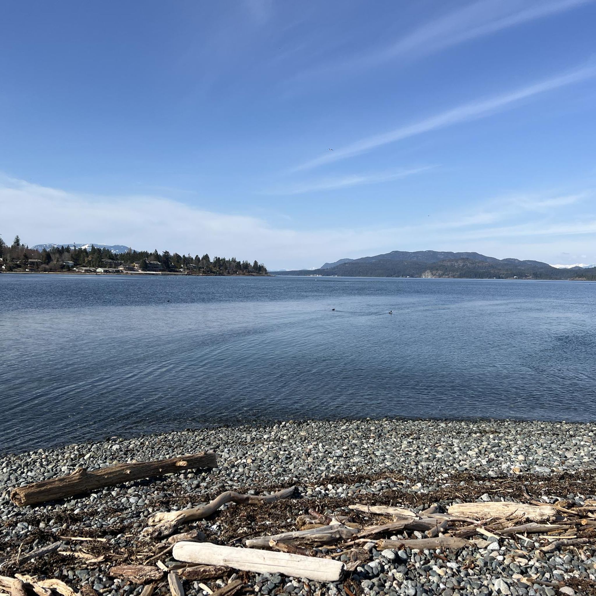
Ken Forde Boat Ramp Park is a small waterfront park that offers great views of the bay, a boat ramp, and a picnic area. The beach is a great place to check out tide pools during low tide.
0
0
Frequently Asked Questions
How many road cycling routes are available in Area D (Oyster Bay/Buttle Lake)?
There are 12 road cycling routes available in Area D (Oyster Bay/Buttle Lake). These routes offer a mix of easy and moderate challenges, with 6 easy routes and 6 moderate routes to choose from.
What kind of terrain can I expect on road cycling routes in this region?
The region offers diverse terrain for road cycling. You can expect coastal paths around Oyster Bay, riverine environments alongside the Oyster River, and forested mountain roads leading to Buttle Lake. Many routes feature well-paved surfaces, with some sections offering quiet road bliss, particularly around Buttle Lake.
Are there any family-friendly road cycling routes in Area D?
Yes, there are several easy road cycling routes suitable for families. For instance, the Roadbike loop from Quathiaski Cove is an easy 18 km route with moderate elevation, offering a pleasant ride. The region's coastal and riverine environments often provide gentler trails.
What natural features or landmarks can I see while road cycling in Area D?
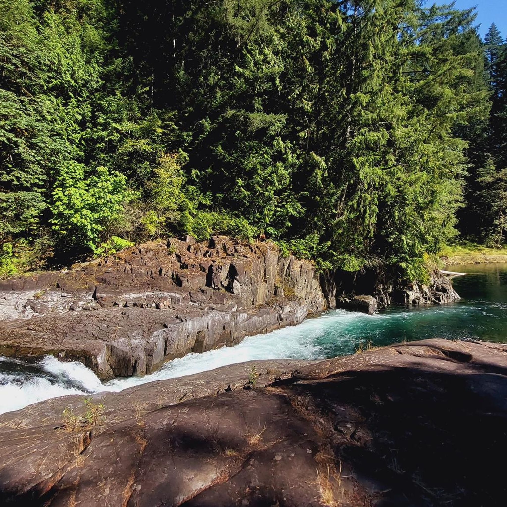
Road cycling in Area D offers access to stunning natural features. You can encounter impressive waterfalls like Elk Falls, Deer Falls, and Moose Falls. The Canyon View Bridge also offers spectacular views. The region transitions from coastal scenery around Oyster Bay to the dramatic alpine backdrop of Buttle Lake within Strathcona Provincial Park.
Are there any circular road cycling routes available?
Yes, many routes in Area D are designed as loops, allowing you to start and finish at the same point. Popular options include the Ken Forde Boat Ramp Park loop from Beaver Lodge Forest Lands, which is a moderate 52 km ride, and the Ken Forde Boat Ramp Park loop from Island Hwy at York (NB), an easy 42.6 km route.
What is the best time of year for road cycling in Area D (Oyster Bay/Buttle Lake)?
The region is generally suitable for outdoor activities, including road cycling, during warmer months. While Buttle Lake can experience strong afternoon winds, the diverse landscapes from coastal areas to mountainous terrain offer pleasant conditions for cycling. Checking local weather forecasts before your ride is always recommended.
Are there any long-distance road cycling routes for experienced riders?
For those seeking longer rides, the Ken Forde Boat Ramp Park – Frank James Park loop from Beaver Lodge Forest Lands is a moderate 85.9 km route that takes nearly 4 hours to complete, offering extensive views and varied terrain. Another substantial option is the Rotary Seawalk – Ken Forde Boat Ramp Park loop from Store, a 74.2 km moderate path combining coastal and inland stretches.
What do other road cyclists enjoy most about road cycling in Area D?
The road cycling routes in Area D (Oyster Bay/Buttle Lake) are highly rated by the komoot community, with an average score of 5.0 stars. Cyclists often praise the diverse landscapes, from ocean and mountain backdrops to the dramatic scenery around Buttle Lake, and the mix of easy to moderate routes that cater to various fitness levels.
Are there road cycling routes with minimal traffic?
Yes, the region offers options for quieter rides. The Buttle Lake Road is highlighted as an excellent 'quiet road bliss' experience. Additionally, parts of routes like the 'Tree to Sea Loop' incorporate multi-use paths and side roads along the coast north of Oyster River, specifically designed to avoid heavy traffic.
Can I find routes that combine coastal views with inland scenery?
Absolutely. Many routes in Area D offer a blend of coastal and inland experiences. For example, the Rotary Seawalk – Ken Forde Boat Ramp Park loop from Store combines coastal sections with stretches that venture further inland, providing a rich variety of scenery during your ride.
Are there any specific parks or areas known for good road cycling?
The area around Ken Forde Boat Ramp Park is a popular starting point for several road cycling routes, offering diverse loops. Buttle Lake within Strathcona Provincial Park is also renowned for its quiet, paved roads and stunning views of the surrounding mountains and lake, particularly the route leading out to Myra Falls.
Most popular routes around Area D (Oyster Bay/Buttle Lake)
Most popular attractions around Area D (Oyster Bay/Buttle Lake)

Get inspired with the komoot mobile app


Explore more
Browse the best Road cycling routes in other regions.
