The best cycling routes in Mount Rainier National Park
4.9
(10)
292
riders
11
rides
Touring cycling in Mount Rainier National Park features a landscape dominated by an active stratovolcano, extensive glaciers, and diverse ecosystems. The park encompasses a wide elevation range, from 1,600 feet to over 14,000 feet, offering varied terrain for cyclists. Roads can be steep and winding, with significant elevation changes, traversing old-growth forests, subalpine meadows, and river valleys. The region's physical features include the glaciated peak of Mount Rainier, numerous waterfalls, and ancient forests.
Best touring cycling routes in Mount Rainier National Park
- The most popular touring cycling route is Sunrise Park Road — Mount Rainier National Park, a 31.6 miles (50.9 km) trail that takes 3 hours 37 minutes to complete. This difficult route features significant elevation gain towards the Sunrise area.
- Another top favourite among local touring cyclists is Carbon River Trail to Ipsut Creek Campground — Mount Rainier National Park, a moderate 9.9 miles (15.9 km) path. This trail leads through a temperate rainforest with a gradual elevation gain.
- Local touring cyclists also love the Sunrise Visitor Center loop from White River Campground, a 22.5 miles (36.2 km) trail leading through alpine landscapes and offering panoramic views, often completed in about 2 hours 40 minutes.
- Touring cycling in Mount Rainier National Park is defined by glaciated peaks, old-growth forests, and subalpine meadows. The network offers options for different ability levels, from moderate rides through river valleys to challenging climbs up mountain roads.
- The routes in Mount Rainier National Park are highly rated by the komoot community with an average score of 4.9 stars from 6 reviews. More than 200 touring cyclists have used komoot to explore Mount Rainier National Park's varied terrain.
Last updated: September 27, 2026
54
riders
50.9km
03:37
1,060m
1,060m
If you're seeking a demanding touring bicycle adventure, the Sunrise Park Road offers a truly memorable experience. This difficult route covers 31.7 miles (50.9 km) and features a substantial elevation gain of 3477 feet (1060 metres), typically requiring about 3 hours and 36 minutes to complete. As you ascend, you'll pedal through dense forests, gradually transitioning to open areas that reveal expansive panoramic views. The highlight is reaching Sunrise Point, where you can soak in nearly 360-degree vistas of the surrounding valleys and other Cascade volcanoes, with Mount Rainier dominating the skyline. In summer, the subalpine meadows along the way are vibrant with wildflowers, adding to the scenic beauty of your journey.
When planning your visit, be aware that the road usually opens to vehicles in late June or early July and closes for the winter by mid-October. A park entrance fee is required for entry, even if you are cycling. Cell service is limited throughout most of the park, so it's wise to plan your navigation and communication accordingly before you set out. Consider starting early to make the most of the daylight and avoid potential crowds, especially during peak season.
This route is entirely within Mount Rainier National Park, offering a unique opportunity to explore its diverse ecosystems by bicycle. The gradual climb through different vegetation zones provides a clear illustration of the park's varied landscape. Beyond the physical challenge, the journey offers a deep immersion into the natural grandeur of the Pacific Northwest, making it a standout experience for those who appreciate both strenuous cycling and spectacular scenery.
6
riders
15.9km
01:33
190m
190m
The Carbon River Trail offers a distinct touring cycling experience, guiding you through a verdant temperate rainforest alongside the Carbon River. You'll pedal past ancient old-growth trees and discover hidden waterfalls, like Ranger Falls, on a path that feels miles away from the everyday. The journey culminates at Ipsut Creek Campground, a tranquil spot perfect for a break before heading back.
This moderate 9.9-mile (15.9 km) route, with 625 feet (191 metres) of elevation gain, takes about 1 hours and 33 minutes to complete. The trail follows an old roadbed, now closed to vehicles, so expect a dirt and gravel surface that can be rocky in places. Remember that bicycles are not allowed beyond Ipsut Creek Campground, but bike racks are available if you wish to continue on foot.
What makes this trail one of the best bicycle trails in the Carbon River area is its unique status as one of the few places within Mount Rainier National Park where cycling is permitted. It provides a rare opportunity to explore the park's interior on two wheels, offering a different perspective than the more common hiking trails. The consistent, gentle grade makes it a family-friendly option for those looking for an accessible adventure.

46
riders
Hard bike ride. Very good fitness required. Mostly paved surfaces. Suitable for all skill levels.
52
riders
65.2km
04:36
1,310m
1,310m
Hard bike ride. Very good fitness required. Mostly paved surfaces. Suitable for all skill levels.
18
riders
49.4km
03:37
1,070m
1,070m
Hard bike ride. Very good fitness required. Mostly paved surfaces. Suitable for all skill levels.
Get access to more routes and recommendations from other explorers.
Already have an account?
Our route recommendations are based on thousands of hikes, rides, and runs completed by other people on komoot.
Start today with a free account
Your next adventure awaits.
Popular around Mount Rainier National Park
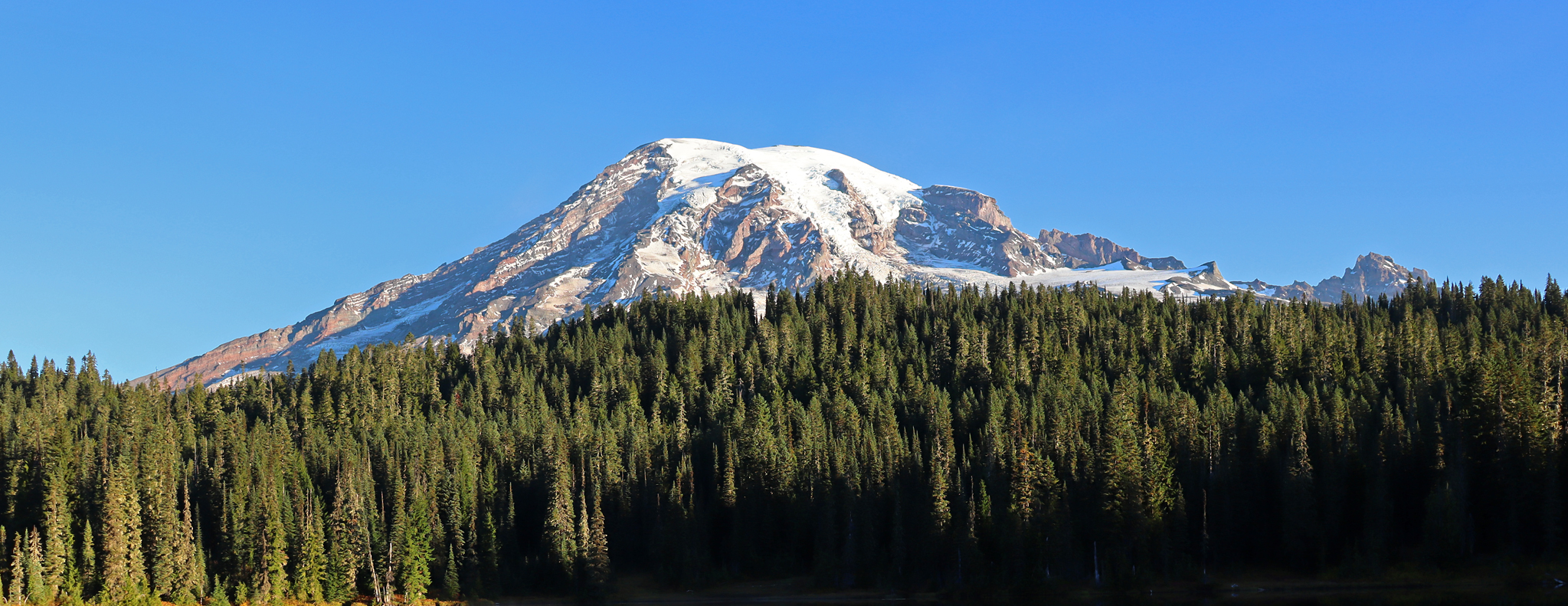
Wonderland Trail — 93 iconic miles around Mount Rainier
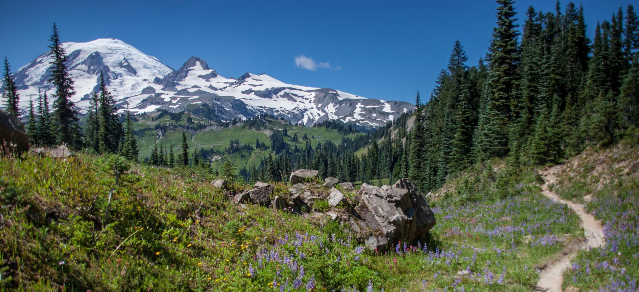
Wonderland Trail — 3-Day fastpacking through the dreamscape
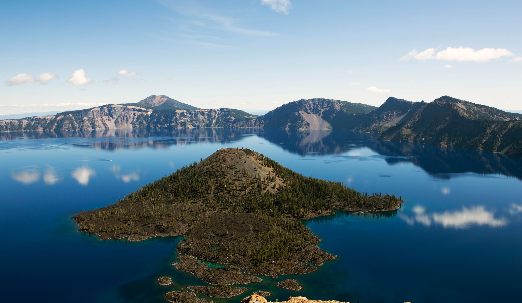
Volcanic peaks and glistening shores – discover Oregon and Washington

The pristine beauty of the US National Parks
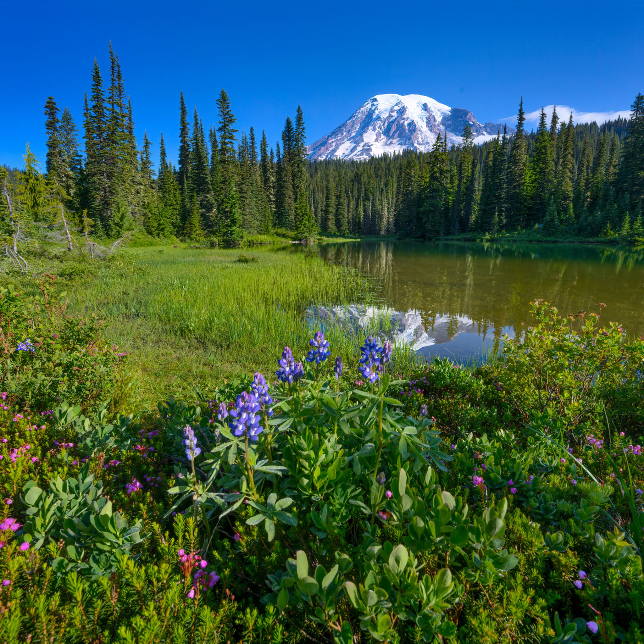
Hiking in Mount Rainier National Park
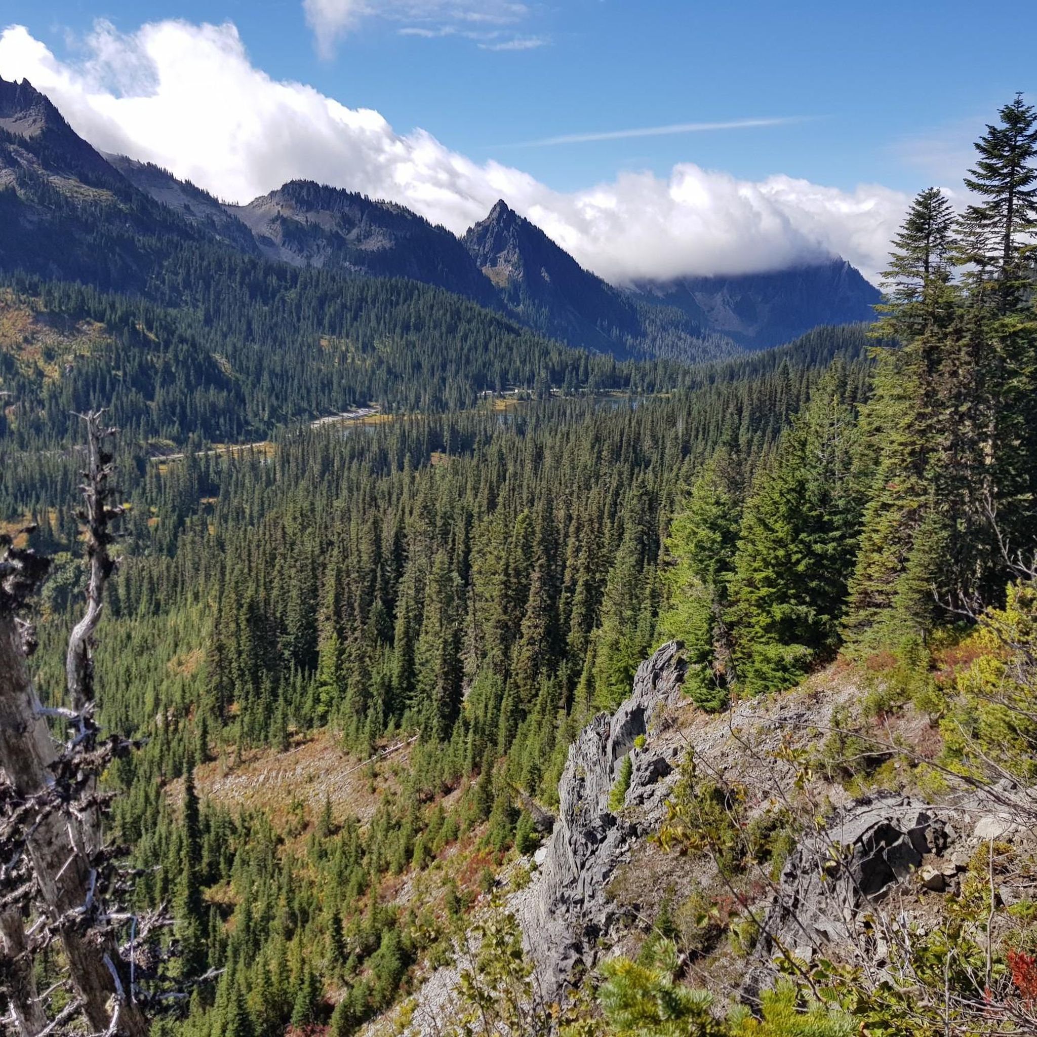
Road Cycling Routes in Mount Rainier National Park
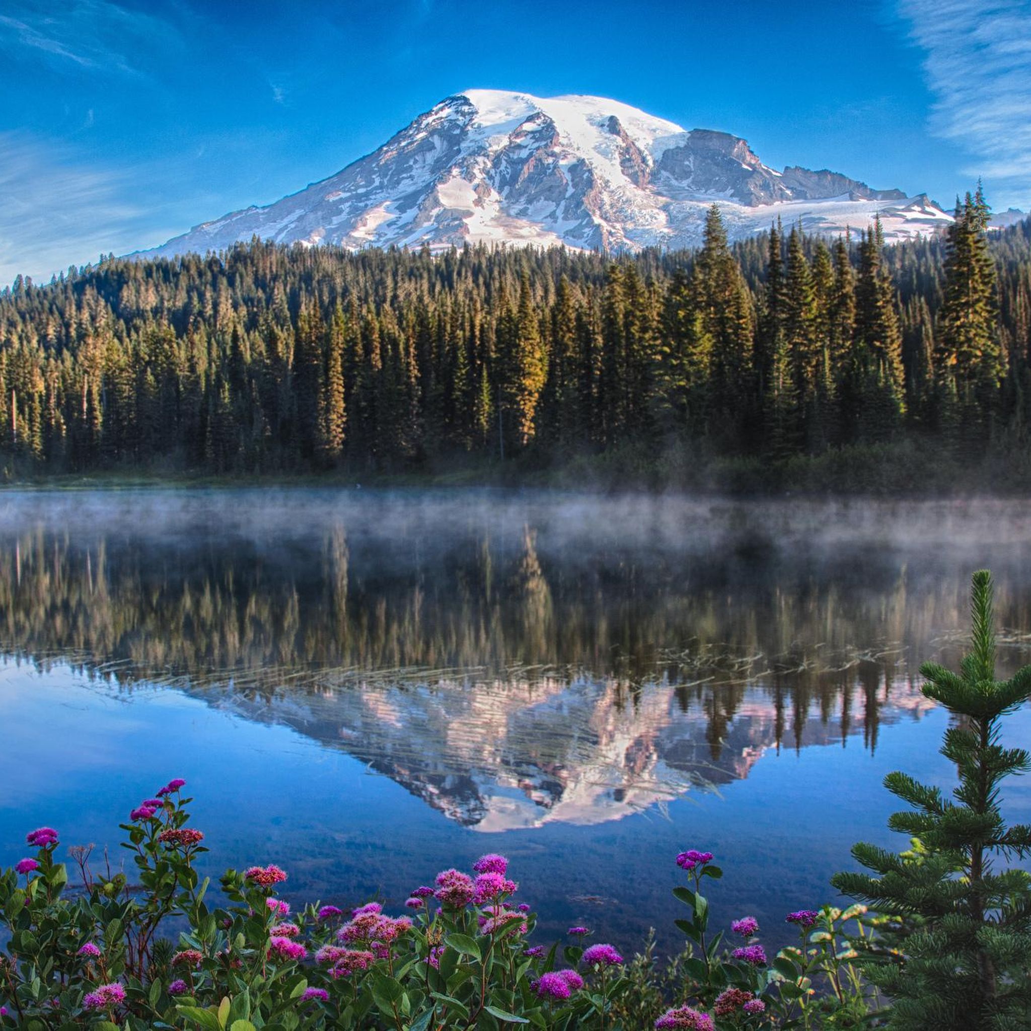
Running Trails in Mount Rainier National Park
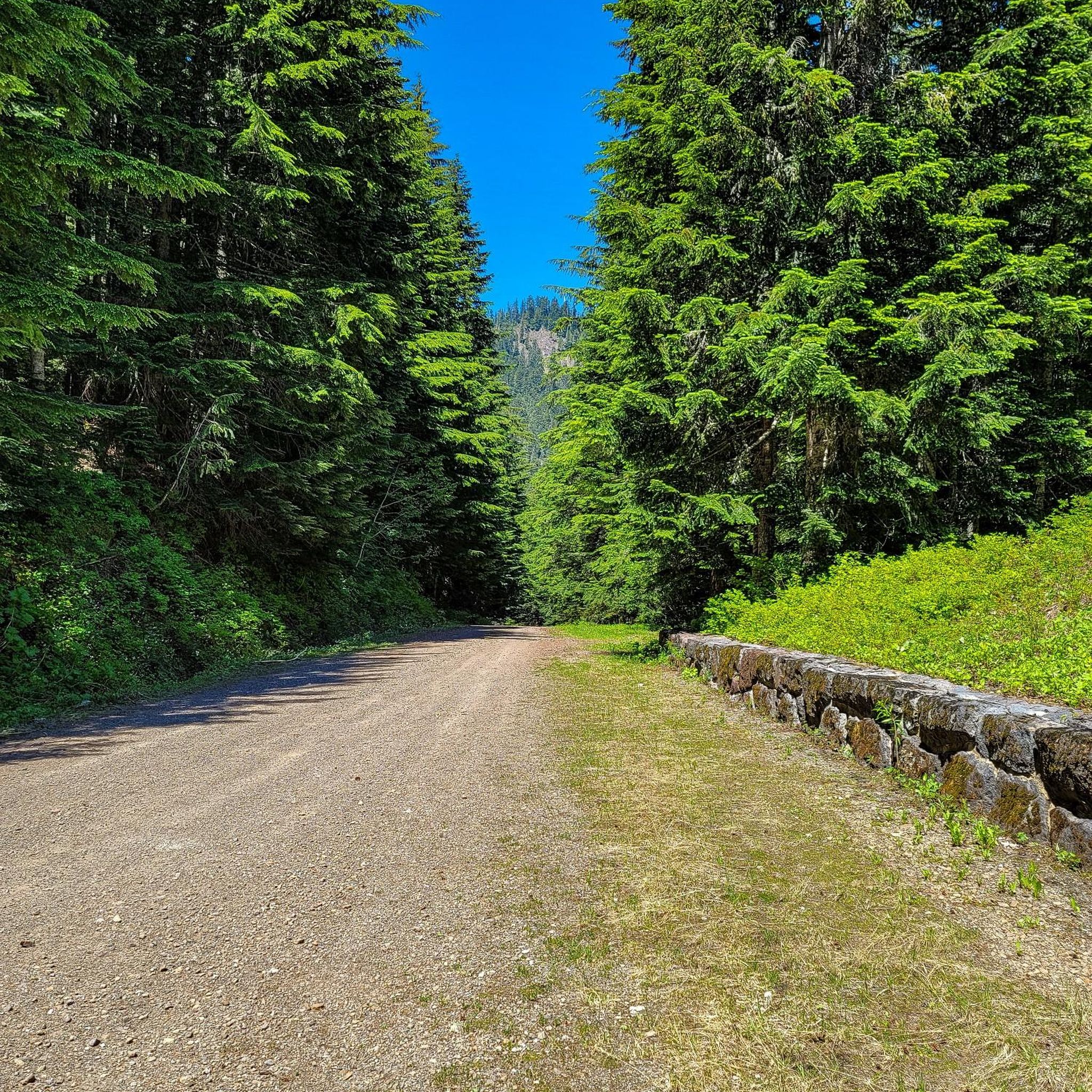
MTB Trails in Mount Rainier National Park
Other adventures in Mount Rainier National Park


Tips from the Community

A great way to get up close and personal with the glaciers and high alpine environment of Mt Rainier.
0
0

Beautiful hike. Crowded. Make sure you bring water as there is no where to fill up. Not even visitor center. No restrooms. Just overstuff porta potties. Come early. Parking difficult. We got here at 310 pm and found some. But there’s a lot of people. We waiting in line to get into park 1 hour! They need a better system!
0
0

Great trail with amazing views of the surrounding mountains and Mt. Rainier.
0
0

One of the most impressive view points to see Mount Rainier. During sunrise and sunset, when there's no wind or rain, this lake right by the park road reflects the mountain in all of its majesty.
0
0

Longmire is the starting point for many Wonderland Trail adventures and home to the Wilderness Information Center, where you pick up your required permit. It is a key stop to check trail conditions, ask questions, and make any final adjustments before heading into the backcountry. The area also includes the historic 1916 park headquarters, now a small museum, along with the National Park Inn, a restaurant, and a general store.
0
0
Riding to Sunrise Visitor Center is a great challenge you can take on early in the morning to enjoy hiking some of the park’s trails and take in awesome views on the way up or down. Rangers can provide trail information and maps, and exhibits focus on the geology and natural history of the park’s northeast region.
0
0
From Sunrise Park Road you get breathtaking views of Mt. Rainier and Mt. Adams, two powerful mountains covered with a glacier blanket and surrounded by forest.
0
0
A short side trail near Ipsut Creek Campground leads to this striking, narrow waterfall hidden in the forest. It’s a great bonus stop when hiking or biking the Carbon River Trail, adding a scenic highlight to your ride.
0
0
Frequently Asked Questions
How many touring cycling routes are available in Mount Rainier National Park?
Mount Rainier National Park offers a selection of 8 touring cycling routes. These routes cater to various skill levels, including 1 easy, 2 moderate, and 5 difficult options, providing diverse experiences across the park's unique landscape.
Are there any touring cycling routes suitable for beginners or families in Mount Rainier National Park?
Yes, there are routes suitable for beginners and families. The Carbon River Trail to Ipsut Creek Campground — Mount Rainier National Park is a moderate 9.9-mile (15.9 km) path that leads through a temperate rainforest with a gradual elevation gain, making it a good option for those seeking a less strenuous ride.
Where can I find challenging touring cycling routes with significant elevation gain in Mount Rainier National Park?
For challenging rides with significant elevation gain, consider routes like the Sunrise Park Road — Mount Rainier National Park, a 31.6-mile (50.9 km) route with over 1,000 meters of ascent towards the Sunrise area. Another demanding option is the Longmire Historic District – Narada Falls loop from Twin Firs Trailhead, which covers 49.4 km with over 1,070 meters of elevation gain.
Are there any circular touring cycling routes in Mount Rainier National Park?
Yes, there are circular routes available. The Sunrise Visitor Center loop from White River Campground is a 22.5-mile (36.2 km) trail that offers panoramic views through alpine landscapes. Another loop option is the Rest Stop by the Carbon River – Foothills Trail loop from Foothills Trailhead, which is a moderate 35.9 km ride.
What natural attractions or viewpoints can I expect to see along touring cycling routes in Mount Rainier National Park?
Cycling routes in Mount Rainier National Park offer stunning natural attractions. You can expect to see majestic glaciers, subalpine wildflower meadows (especially in summer), and ancient old-growth forests. Notable viewpoints include Faraway Rock Overlook and Panorama Point Summit. The park is also home to beautiful lakes like Shadow Lake and numerous waterfalls like Narada Falls and Christine Falls.
When is the best time of year to go touring cycling in Mount Rainier National Park?
September and early October are often recommended for cycling in Mount Rainier National Park. During this period, there are typically fewer vehicles on the roads, and you can enjoy the vibrant fall colors. Summer months also offer beautiful wildflower displays, but roads can be busier.
What are the regulations for cycling in Mount Rainier National Park, especially concerning e-bikes?
Bicycles are permitted on park roads, but not on hiking trails. Roads can be steep, narrow, and winding, often with unpaved shoulders. Cyclists must generally ride single file. E-bikes with motors less than 750 watts are allowed where traditional bicycles are permitted. For detailed regulations, you can consult the official National Park Service website: Bicycling at Mount Rainier National Park.
Am I allowed to bring my dog on touring cycling routes in Mount Rainier National Park?
Pets are generally not allowed on trails in Mount Rainier National Park, including those designated for cycling. They are permitted only in developed areas, in campgrounds, and on paved roads open to vehicles. Always check the latest park regulations regarding pets before your visit.
Is parking available at the trailheads for touring cycling routes?
Yes, parking is typically available at various access points and visitor centers within Mount Rainier National Park, which serve as starting points for many touring cycling routes. However, during peak season, parking lots can fill up quickly, especially at popular areas like Sunrise and Paradise.
Are there any less crowded touring cycling routes in Mount Rainier National Park?
While popular areas can get busy, routes like the Carbon River Trail to Ipsut Creek Campground, which passes through a temperate rainforest, might offer a quieter experience, especially outside of peak hours or seasons. Westside Road, beyond the first three miles open to motor vehicles, also becomes a popular route for cyclists seeking less traffic.
Are there options for longer distance touring cycling in the park?
Yes, while many routes are day trips, you can combine sections or explore longer stretches of park roads. For example, the ride from Nisqually Entrance to Paradise is 19 miles one-way with significant elevation, and the NE Entrance to Sunrise is a 20-mile climb. These can be part of longer touring plans within the park's road network, keeping in mind the challenging terrain and elevation changes.
What do other touring cyclists enjoy most about cycling in Mount Rainier National Park?
The touring cycling experience in Mount Rainier National Park is highly rated by the komoot community, with an average score of 4.9 stars. Cyclists frequently praise the breathtaking panoramic views of Mount Rainier, the diverse ecosystems ranging from old-growth forests to subalpine meadows, and the challenging yet rewarding climbs that offer a true sense of accomplishment.
Most popular routes in Mount Rainier National Park
Most popular attractions in Mount Rainier National Park

Get inspired with the komoot mobile app


Explore more
Browse the best Cycling routes in other regions.
