The best walks and hikes in Orleans County
4.8
(46)
1,414
hikers
23
hikes
Hikes in Orleans County, Vermont, explore a landscape defined by prominent peaks and large glacial lakes. The terrain includes challenging ascents to summits like Jay Peak and routes that circle the glacially-carved Lake Willoughby, which is flanked by Mount Pisgah and Mount Hor. The region's trail network is primarily located within state forests, offering routes through dense woodland to viewpoints.
Best hiking trails in Orleans County
- The most popular hiking route is View from Mount Pisgah – View of Lake…
Last updated: August 17, 2026
5
hikers
5.21km
01:46
240m
270m
The Haystack Mountain Loop offers a delightful escape into Vermont's natural beauty, guiding you through lush mixed hardwood forests that burst with color in autumn. This easy 3.2-mile (5.2 km)…
3
hikers
3.63km
01:28
440m
0m
Hike the 2.3-mile Mount Pisgah Via North Trail, a moderate route with 1439 feet of elevation gain, offering panoramic views of Lake Willough

Sign up for free
3
hikers
2.52km
01:16
460m
0m
Hike the Jay Peak via Long Trail for a moderate 1.6-mile climb with 360-degree views of Vermont and Quebec from the summit.
2
hikers
4.25km
01:29
370m
20m
Hike the moderate Mount Hor Trail for 2.6 miles (4.2 km) to panoramic views of Lake Willoughby and Mount Pisgah in Vermont.
1.44km
00:25
30m
40m
The Sentinel Rock trail in Westmore, Vermont, offers a delightful and accessible hiking experience, winding through open fields and diverse forests. You'll follow a gentle path, passing a trickling brook,…
1.80km
00:38
160m
10m
Hike the Long Trail to Carleton Mountain, an easy 1.1-mile route in Jay State Forest with 513 feet of elevation gain.
2.78km
01:15
410m
0m
Hike 1.7 miles (2.8 km) on the Long Trail from Hazen's Notch to Haystack Mountain, gaining 1340 feet (408 metres) in 1 hour 15 minutes.
6.98km
02:27
510m
160m
Hike the Long Trail to Doll Peak for a challenging 4.3-mile route with 1679 feet of elevation gain and views into Quebec.
4.57km
01:41
350m
170m
Hike Buchanan Mountain via The Long Trail for a moderate 2.8-mile trek with panoramic views and 1159 feet of elevation gain.
1.18km
00:20
20m
20m
This easy 0.7-mile (1.2 km) Barr Hill Trail offers panoramic mountain views, a fairy village, and a stunning vista of Caspian Lake.
Get access to more routes and recommendations from other explorers.
Sign up for free
Already have an account?
Our route recommendations are based on thousands of hikes, rides, and runs completed by other people on komoot.
Start today with a free account
Your next adventure awaits.
Login or Signup
Popular around Orleans County

Hiking in Long Trail State Forest

Hiking in Sentinel Rock State Park

Hiking in Hazen'S Notch State Park

Hiking in Crystal Lake State Park

Hiking around Barton Village
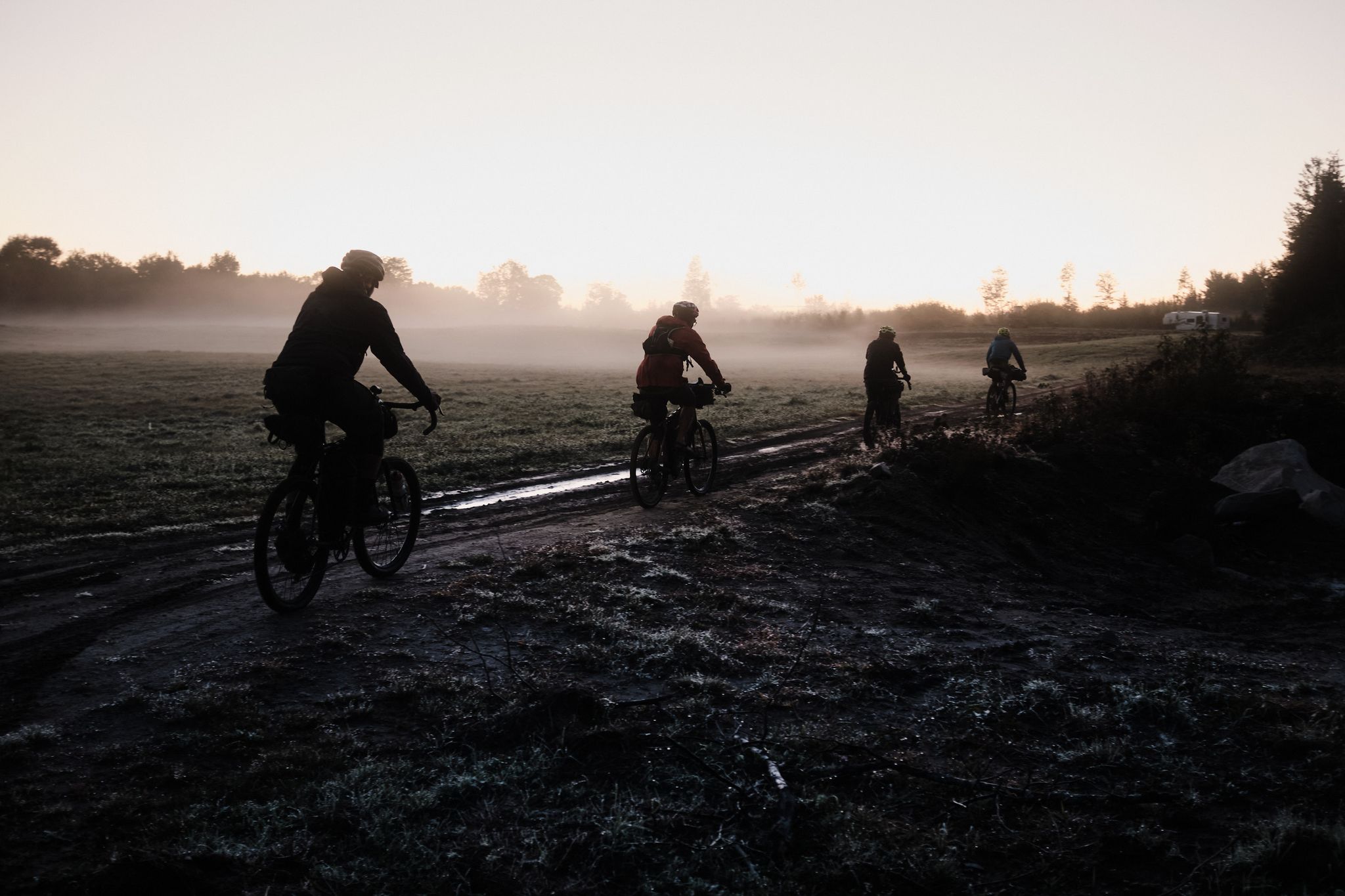
Vermont Super 8 northern lobe – Rolling hills

Gravel biking in Orleans County
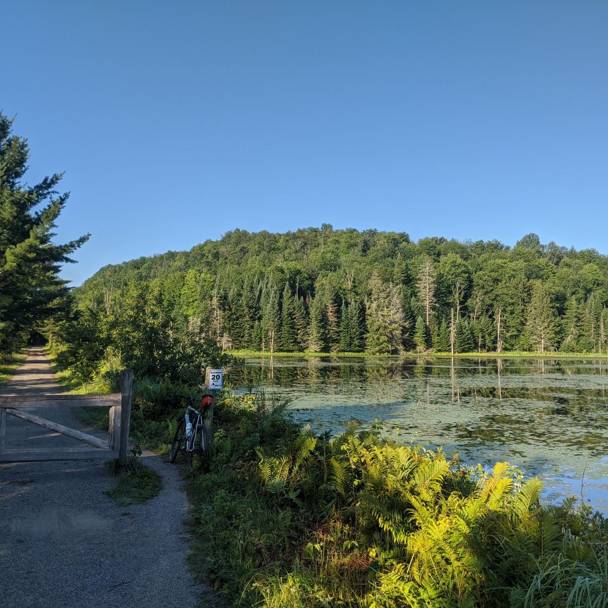
Cycling in Orleans County
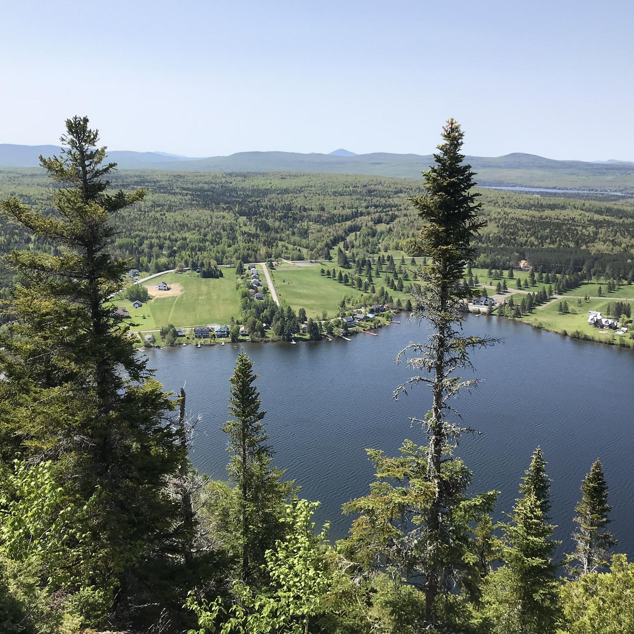
Road Cycling Routes in Orleans County
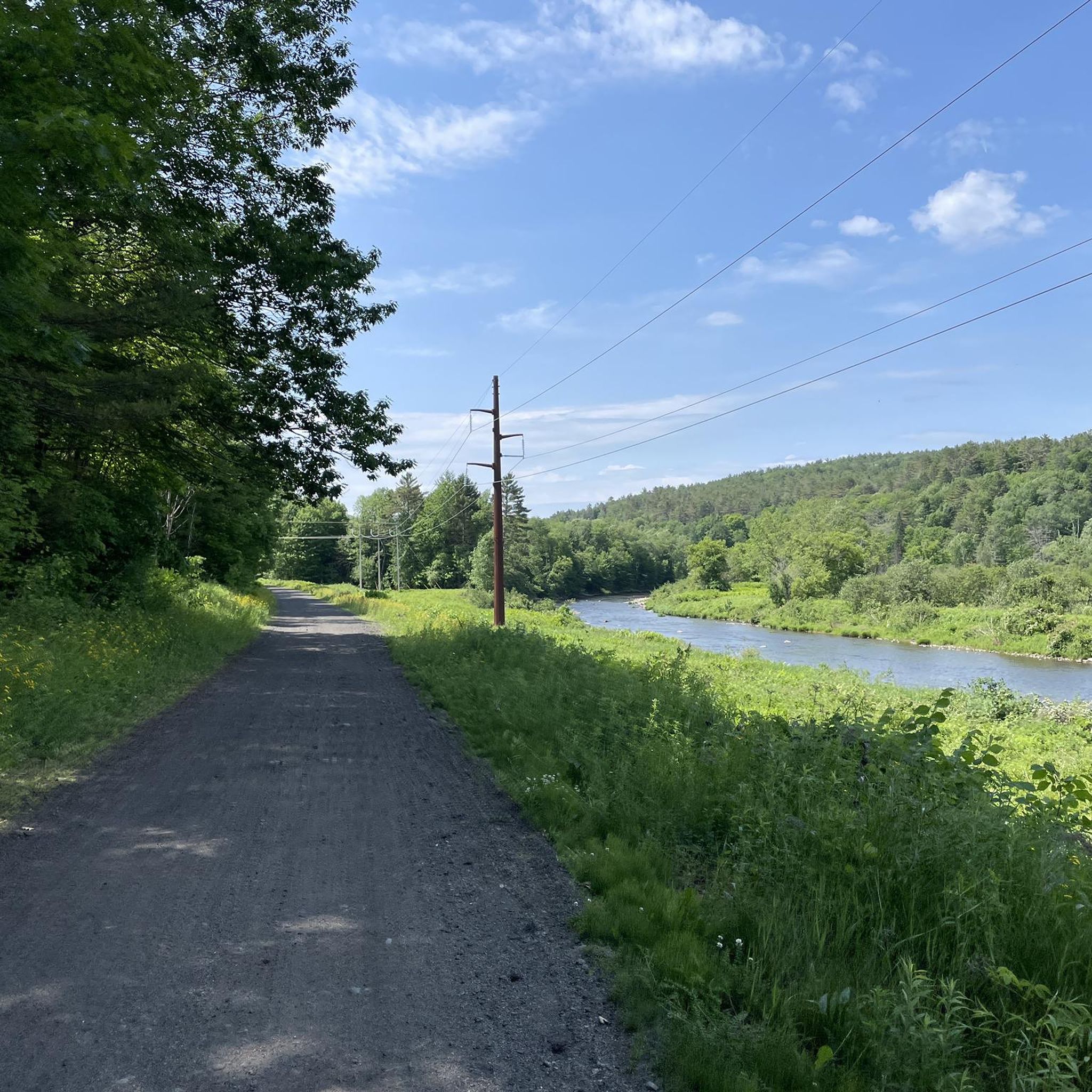
Running Trails in Orleans County
Other adventures in Orleans County

Tips from the Community

A great lookout point, just a bit northwest of Mount Pisgah's summit. This is a great spot for photos of Lake Willoughby.
0
0

Jay Peak is one of Vermont's most prominent mountains. Standing at 3,862 feet, it is the northernmost major summit crossed by the Long Trail and offers panoramic views of the surrounding landscape.
0
0

A great challenge with long steep segments. I definitely recommend an adequate gear setup (32 teeth cassette) for climbing, especially if bike touring. Totally worth it though!
0
0
Jay Peak Pass is a 2231-foot pass in northern Vermont. It is adjacent to Jay Peak, a popular hiking spot in the summer and ski resort in the winter. This is a challenging goal for any cyclist riding around this beautiful part of the state.
0
0
Route 105 Pass is a 2,133 foot pass in Jay, Vermont between the Canadian border to the north, and the Long Trail to the south, a famous thru-hike, which traverses the state. This is a nice challenge on an isolated stretch of highway.
0
0

At 3,445 feet, the peak of Haystack Mountain offers a few different viewpoints. There are a lot of mountains in this part of Vermont, and you would need hundreds of fingers to count all the summits you can see from the top of this peak. You also get a great view of Long Pond down below.
0
0

View of Lake Willoughby. You might also see eagles circling or chipmunks crawling. :-)
0
0
Frequently Asked Questions
Are there any easy, beginner-friendly hikes in Orleans County?
Yes, there are several easier options, especially around the lakes. For a gentle walk with nice scenery, consider the Southwest Cove Beach loop from Westmore. It's a relatively flat 2-mile (3.3 km) trail that's perfect for a casual outing.
What are some good hikes for families with children?
For a family-friendly adventure that isn't too strenuous but still offers rewarding views, the Lake View loop from Mount Hor Trail Access Parking is a great choice. It's a short 2-mile (3.2 km) loop with minimal climbing, making it manageable for younger hikers.
Can I bring my dog on the hiking trails?
Many trails in Vermont's state parks and forests are dog-friendly, but dogs must be kept on a leash and under your control at all times. Trails within Willoughby State Forest, such as those around Mount Pisgah, are popular with dog owners. Always check specific park regulations before you go and be prepared to clean up after your pet.
Are there any challenging day hikes in the area?
Orleans County offers some demanding climbs for experienced hikers. For a significant challenge with substantial elevation gain, the Jay Peak Summit Marker – Big Jay loop from Jay State Forest is a tough 5.4-mile (8.7 km) route that will test your endurance and reward you with incredible views.
What is the best time of year to hike in Orleans County?
The prime hiking season is from late spring to early fall (May through October). Summer offers lush green forests, while autumn provides spectacular fall foliage, particularly from late September to mid-October. Winter hiking is possible with proper gear like snowshoes or microspikes, but be prepared for snow and ice, especially at higher elevations.
Are there any trails with waterfalls?
While the region is better known for its lakes and mountain views, some trails may feature smaller cascades and streams, especially after rainfall. The area around Jay Peak has numerous brooks. For a guaranteed waterfall experience, you might explore local parks, but the main hiking routes focus more on summit and lake scenery.
Where can I find good views of Lake Willoughby?
Lake Willoughby is flanked by two mountains, offering stunning vistas. Besides the popular Mount Pisgah, you can get a different perspective on the View of Lake Willoughby – View from Mount Pisgah loop from Westmore. This longer 6.9-mile (11.1 km) hike provides multiple viewpoints of the lake's fjord-like landscape.
Are there opportunities for hiking and camping in the same area?
Yes, you can combine hiking with camping. Crystal Lake State Park and Pageant Park offer campsites near hiking areas. Willoughby State Forest also has camping facilities, allowing you to stay overnight and get an early start on trails leading up Mount Hor or Mount Pisgah.
How many hiking trails are in Orleans County?
You can explore over 15 curated hiking routes in Orleans County on komoot, ranging from easy lakeside strolls to moderate mountain climbs. The area is primarily defined by trails within state forests like Jay State Forest and Willoughby State Forest.
What do other hikers say about the trails in Orleans County?
The trails are highly rated by the komoot community, with an average score of 4.9 out of 5 stars. Hikers frequently praise the panoramic views from summits like Jay Peak and Mount Pisgah, the dramatic scenery around Lake Willoughby, and the well-maintained paths through the forests.
Are the trails in this area free to access?
Most hiking trails in state forests like Willoughby State Forest and Jay State Forest are free to access. However, some state parks, such as Crystal Lake State Park, may charge a day-use fee for entry, which typically includes access to parking, facilities, and trails within the park boundaries.
Are there any wheelchair-accessible trails in Orleans County?
For accessible outdoor recreation, the Lamoille Valley Rail Trail and the Beebe Spur Rail Trail are excellent options. These are relatively flat, wide, multi-use paths with hard-packed surfaces suitable for wheelchairs, offering scenic views without the difficult terrain of mountain trails.
Most popular routes in Orleans County
Most popular attractions in Orleans County

Get inspired with the komoot mobile app


Didn’t find what you were looking for?
Check out more Hikes throughout Orleans County below and find the perfect route in your destination.
Explore more
Browse the best Hikes in other regions.
