The best MTB trails around Djupvatnet
5.0
(38)
243
riders
2
rides
Mountain bike trails around Djupvatnet offer diverse landscapes in a high-alpine setting, characterized by deep blue waters and reflections of surrounding mountains. The region features dramatic mountainous terrain with snow-capped peaks and proximity to the Geirangerfjord, a UNESCO World Heritage site. Mountain biking here involves challenging climbs and descents, with routes often starting or passing by Djupvatnet at an altitude of 1030 meters above sea level. The area provides varied terrain, from asphalt climbs to more rugged paths, suitable for…
Last updated: August 20, 2026
5.0
(5)
57
riders
31.8km
02:52
1,140m
1,140m
Hard mountain bike ride. Very good fitness required. Suitable for all skill levels.
5.0
(4)
19
riders
9.68km
01:00
430m
430m
Moderate mountain bike ride. Good fitness required. Suitable for all skill levels.

Sign up for free
4.8
(11)
72
riders
32.7km
02:56
1,130m
1,130m
Hard mountain bike ride. Very good fitness required. Advanced riding skills necessary. Some portions of the route may require you to push your bike.
5.0
(11)
49
riders
38.4km
03:14
1,130m
1,130m
Hard mountain bike ride. Very good fitness required. Suitable for all skill levels.
5.0
(7)
38
riders
16.3km
01:26
530m
530m
Moderate mountain bike ride. Good fitness required. Suitable for all skill levels.
Our route recommendations are based on thousands of hikes, rides, and runs completed by other people on komoot.
Start today with a free account
Your next adventure awaits.
Login or Signup
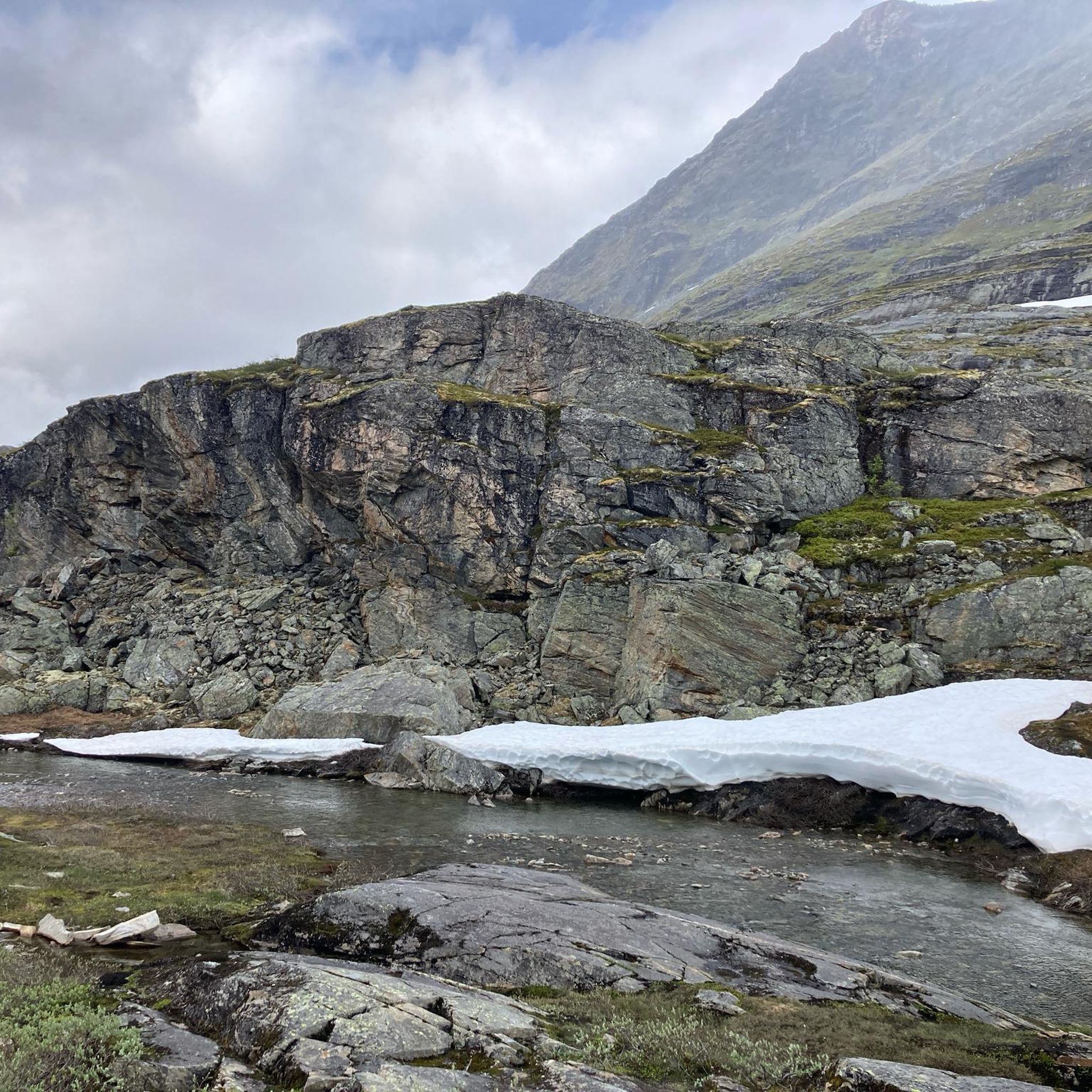
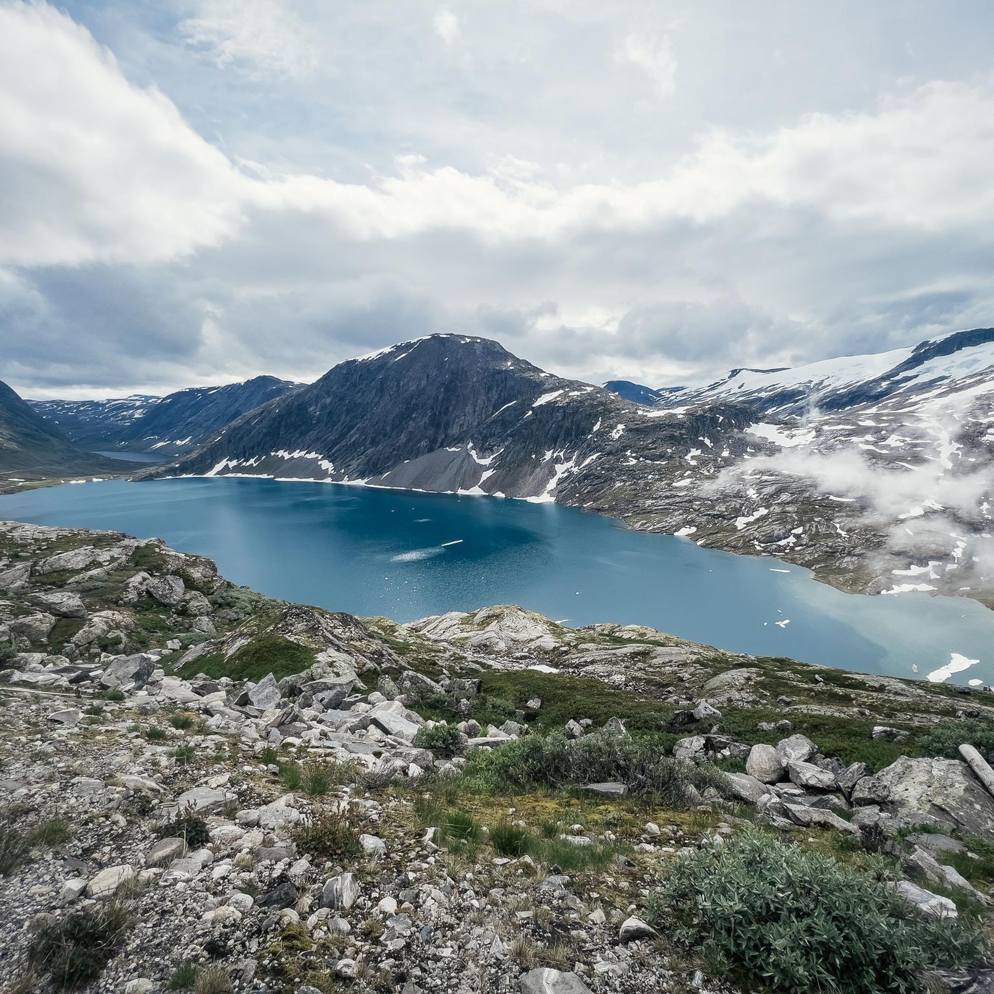
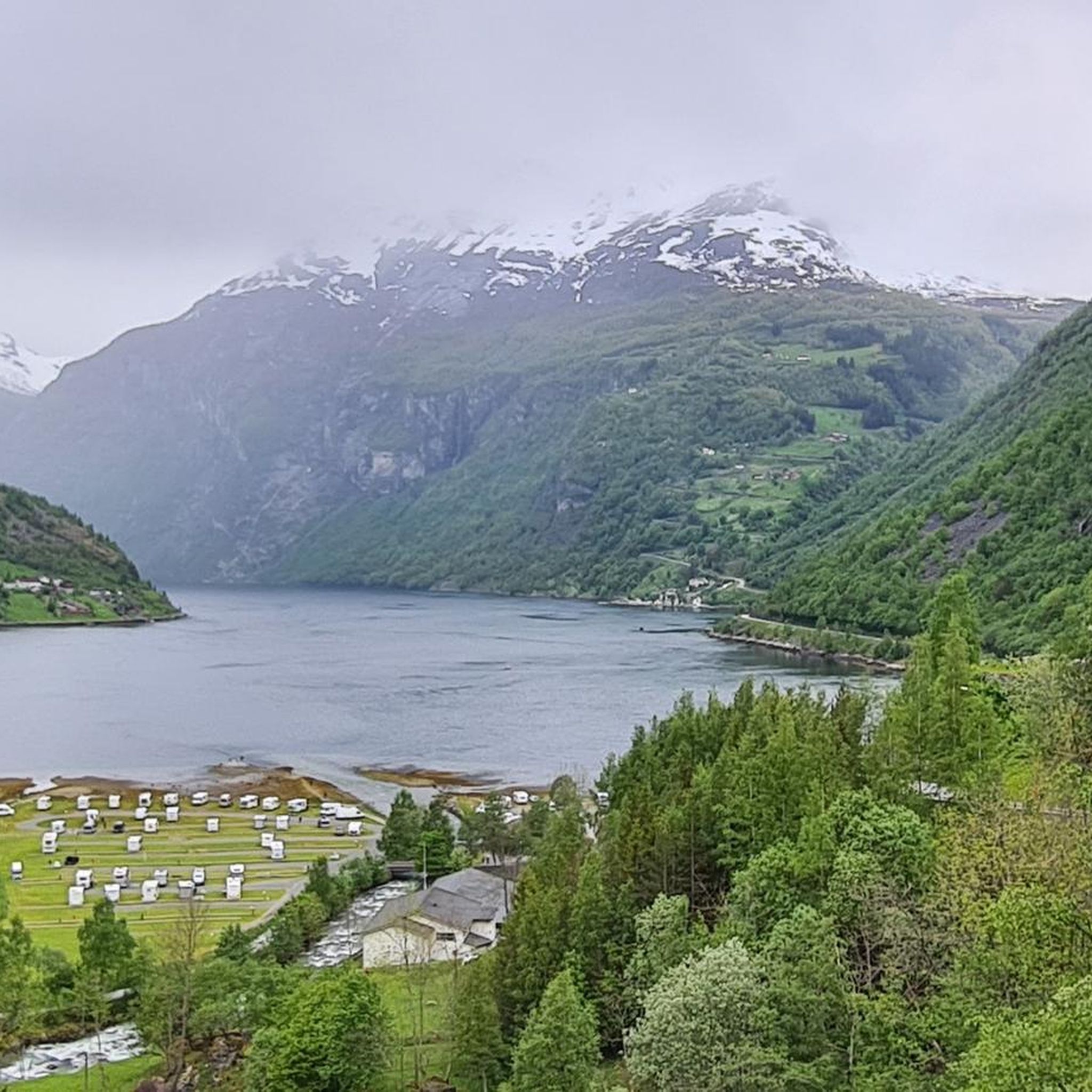
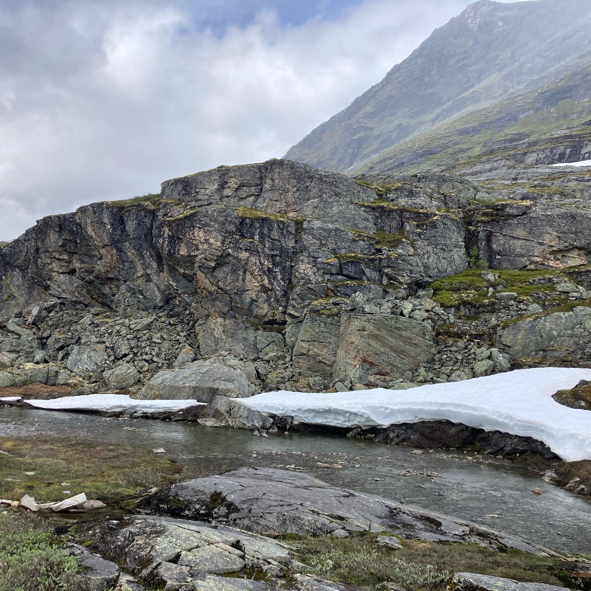
Tips from the Community

This fjord is incredibly beautiful
0
0

A boat trip is a must at Geiranger. Only then can you see the waterfalls. It is truly beautiful.
0
0

This tight bend in the road offers a fantastic view of the waterfalls in the fjord. In spring, there's still meters of snow here, making this road truly worth seeing.
3
0

Great view of the fjord and the ship. The effort is worth it.
3
0

The cheapest way to get from Geiranger to Hellesylt is to line 1152 car ferry which costs kr 370 - kr 550 and takes 1 h 5 min. What is the fastest way to get from Geiranger to Hellesylt? The quickest way to get from Geiranger to Hellesylt is to line 1152 car ferry which costs kr 370 - kr 550 and takes 1 h 5 min.
1
0
The cheapest way to get from Geiranger to Hellesylt is to line 1152 car ferry which costs kr 370 - kr 550 and takes 1 h 5 min. What is the fastest way to get from Geiranger to Hellesylt? The quickest way to get from Geiranger to Hellesylt is to line 1152 car ferry which costs kr 370 - kr 550 and takes 1 h 5 min.
0
0
The cheapest way to get from Geiranger to Hellesylt is to line 1152 car ferry which costs kr 370 - kr 550 and takes 1 h 5 min. What is the fastest way to get from Geiranger to Hellesylt? The quickest way to get from Geiranger to Hellesylt is to line 1152 car ferry which costs kr 370 - kr 550 and takes 1 h 5 min.
1
0
Frequently Asked Questions
How many mountain bike trails are there around Djupvatnet?
The komoot community has mapped and rated over 200 mountain bike tours around Djupvatnet. These routes offer diverse experiences, from moderate loops to challenging climbs with significant elevation gains.
What kind of terrain can I expect on mountain bike trails near Djupvatnet?
You'll encounter a variety of terrain, from challenging asphalt climbs, such as the ascent towards Mount Dalsnibba, to more rugged paths. The region is characterized by dramatic mountainous landscapes, high-alpine lakes, and stunning fjord viewpoints. Some harder routes may even require pushing your bike.
Are there any family-friendly mountain bike trails around Djupvatnet?
While many routes in the Djupvatnet area are moderate to difficult, requiring good fitness, there are options that might be suitable for families with older, experienced riders. For example, the Geirangerfjord – Eagle Bend Viewpoint loop from Geiranger is a moderate 16.4 km route with a manageable elevation gain, offering scenic views.
What are the best viewpoints to experience while mountain biking near Djupvatnet?
The region is rich with spectacular viewpoints. The Eagle Bend Viewpoint – Storfossen Waterfall loop from Geiranger will take you past iconic spots like the Eagle Bend. You can also find incredible panoramic views of the Geirangerfjord from elevated points, including the famous Flydalsjuvet viewpoint, which is often incorporated into tours.
Are there any circular mountain bike routes starting from Djupvatnet?
Yes, there are several loop routes available. A popular option is the Mountainbike loop from Djupvatnet, a moderate 9.7 km trail that offers views of the high-alpine lake and surrounding peaks.
What is the best time of year for mountain biking in Djupvatnet?
The best time to visit is typically during the warmer months when the snow has melted, usually from late spring to early autumn. Even in summer, Djupvatnet can be rimmed with snow, and some high-altitude trails might have seasonal closures due to conditions. Always check local conditions before heading out.
Are there any routes that feature waterfalls?
Absolutely. The region is known for its stunning waterfalls. The Storfossen Waterfall – View of Geirangerfjord loop from Geiranger is a challenging route that features significant elevation gain and panoramic views of the fjord and its majestic waterfalls, such as "The Seven Sisters" and the Bridal Veil.
What do other mountain bikers enjoy most about mountain biking in Djupvatnet?
The area is highly rated by the komoot community, with an average score of 5.0 stars from over 30 reviews. Mountain bikers frequently praise the breathtaking natural beauty, the deep blue waters reflecting the mountains, and the diverse landscapes that offer both challenging climbs and rewarding descents.
Are there options for advanced mountain bikers seeking a challenge?
Yes, Djupvatnet offers challenging routes for experienced riders. Trails like the Storfossen Waterfall – View of Geirangerfjord loop from Geiranger are considered difficult, featuring significant elevation gains and steep gradients. The ascent to Mount Dalsnibba from Djupvasshytta is also known for its tough climb.
Are there any cafes or places to eat near the mountain bike trails around Djupvatnet?
While Djupvatnet itself is a high-alpine lake, the nearby Geiranger area, which serves as a starting point for many tours, offers various options for cafes and restaurants where you can refuel after your ride.
Is there parking available for mountain bikers near Djupvatnet?
Parking is generally available at common starting points for tours, such as near Djupvasshytta by Djupvatnet or in Geiranger. It's advisable to check specific parking arrangements for your chosen route beforehand.
Can I combine mountain biking with other activities in the Djupvatnet area?
Yes, the region is perfect for combining activities. Many tours offer the thrilling experience of cycling downhill along the fjord's winding roads after being driven up to Djupvatnet. You can also explore the UNESCO World Heritage site of Geirangerfjord, take boat trips, or hike to various viewpoints.

Get inspired with the komoot mobile app


Explore more
Browse the best MTB trails in other regions.
