The best walks and hikes around Langlivannet
4.4
(10)
257
hikers
20
hikes
Hiking around Langlivannet offers diverse trails set within a natural environment centered around the lake. The area features accessible paths suitable for various skill levels, from family-friendly strolls to more challenging routes. Hikers can expect varied terrain, including well-trodden paths, uneven ground, and potential stream crossings. The landscape is characterized by its central lake, surrounding woodlands, and opportunities for rest at lean-to shelters and campfire sites.
Best hiking trails around Langlivannet
- The most popular hiking route is Kobberhaughytta loop from…
Last updated: June 26, 2026
3.0
(1)
103
hikers
9.43km
02:48
280m
280m
Moderate hike. Good fitness required. Easily-accessible paths. Suitable for all skill levels.
5.0
(1)
17
hikers
20.4km
05:50
480m
480m
Hard hike. Very good fitness required. Easily-accessible paths. Suitable for all skill levels.

Sign up for free
5.0
(2)
12
hikers
20.3km
05:56
550m
550m
Hard hike. Very good fitness required. Easily-accessible paths. Suitable for all skill levels.
16
hikers
6.58km
01:56
200m
200m
Easy hike. Great for any fitness level. Easily-accessible paths. Suitable for all skill levels.
13
hikers
12.9km
03:45
340m
340m
Moderate hike. Good fitness required. Easily-accessible paths. Suitable for all skill levels.
Get access to more routes and recommendations from other explorers.
Sign up for free
Already have an account?
Our route recommendations are based on thousands of hikes, rides, and runs completed by other people on komoot.
Start today with a free account
Your next adventure awaits.
Login or Signup
Popular around Langlivannet
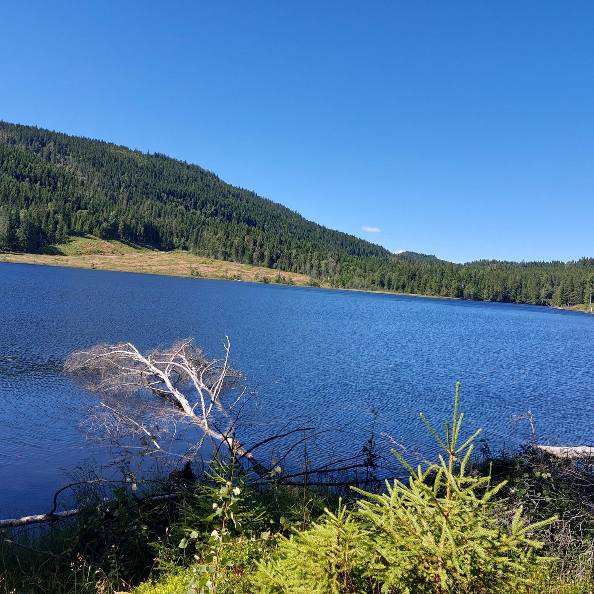
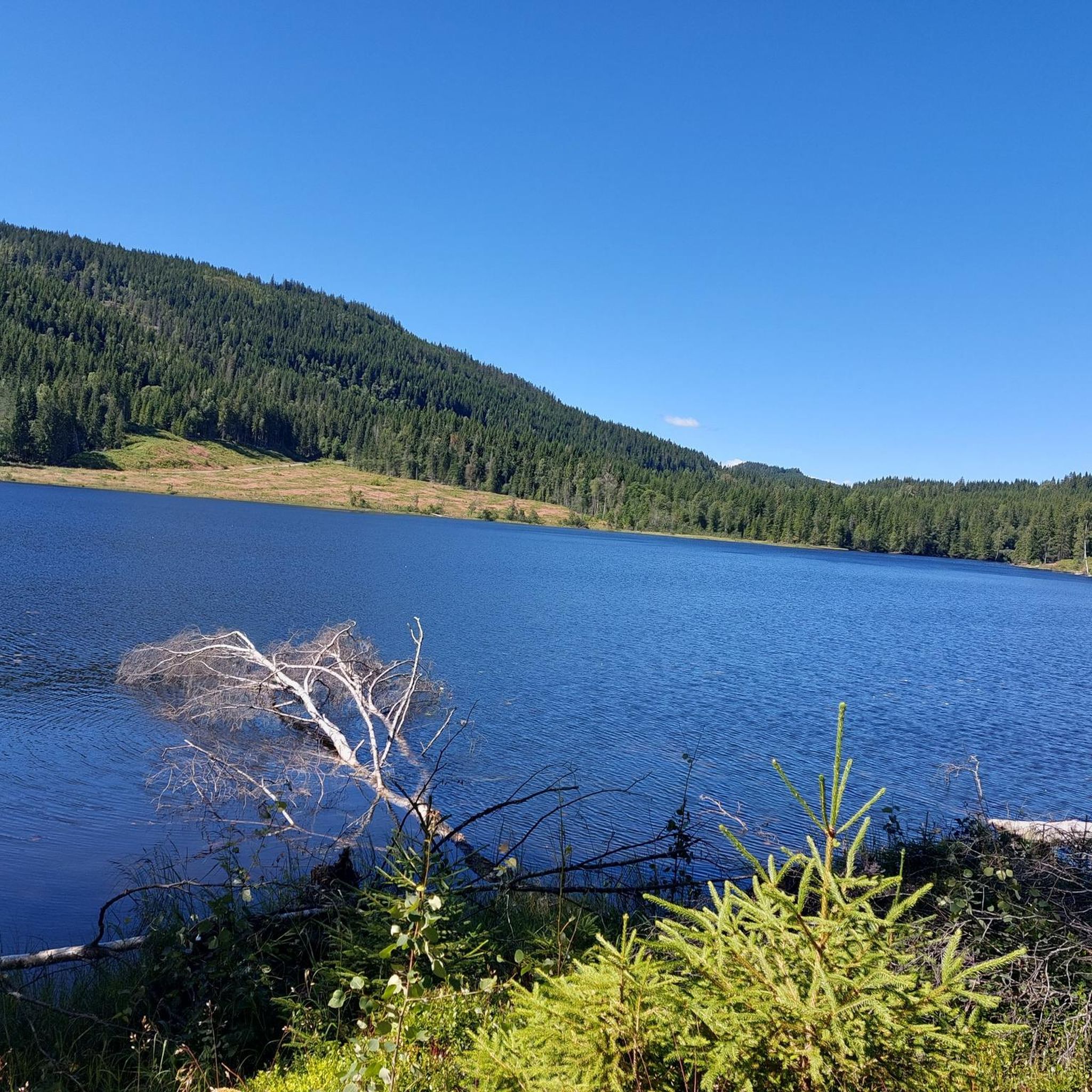
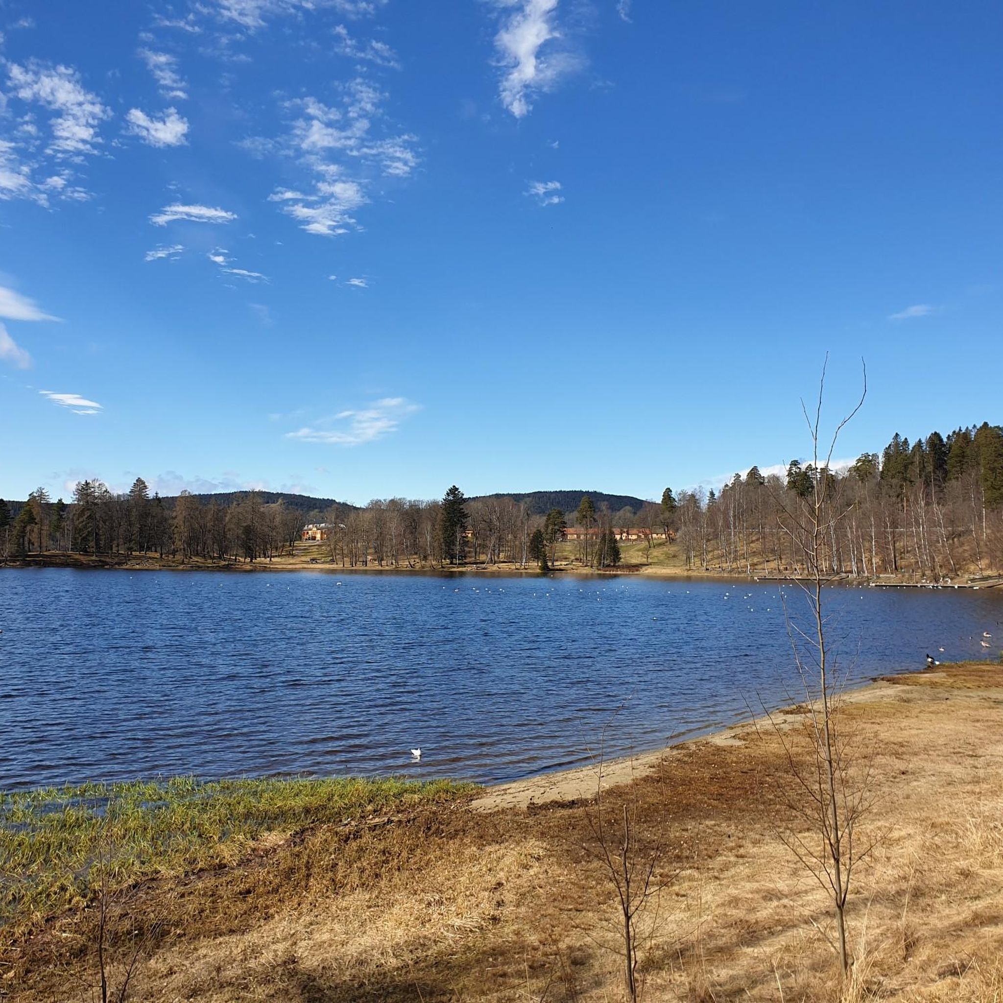
Tips from the Community

Friendly staff, good food, just a very nice place to rest after a ride. Includes a splash in the lake or sauna inhouse. Staying a night or two makes totally sense since Nordmarka is an endless gravel paradise
0
0

Well-known and very nice sports hall in Nordmarka
0
0

Enjoy the view of the forests and rolling hills from here.
0
0


If the café is closed, there is usually coffee and buns for sale in the self-service room to the right of the entrance.
0
0

a place with a beautiful landscape where we find a corner to eat and sleep.
0
0
Frequently Asked Questions
What kind of terrain can I expect on hikes around Langlivannet?
The terrain around Langlivannet is quite varied, offering something for different skill levels. You'll find easily accessible paths suitable for all, including well-trodden sections. However, more demanding routes may involve uneven ground, slippery roots, and stream crossings. The landscape features woodlands and the central lake.
Are there any easy, family-friendly hiking options near Langlivannet?
Yes, Langlivannet offers several easy paths suitable for families. For instance, the hike to Langvatnet from Trofors is a very easy, well-trodden path that takes only about ten minutes to reach the lake. There are also loop options like the 'Langvannet loop from Lørenskog ishall' and the 'Langvannet loop from Hanaborg' which can be suitable for a leisurely walk. Overall, there are 5 easy routes available in the area.
Can I bring my dog on the hiking trails around Langlivannet?
Yes, many trails around Langlivannet are dog-friendly. However, it's important to be aware of local regulations regarding leashes, especially in nature reserve areas or during certain seasons to protect wildlife. Always keep your dog under control.
What are the parking options for hikers visiting Langlivannet?
Parking is available at various starting points for trails around Langlivannet. Specific parking areas are often associated with popular loop routes, such as those for the 'Langvannet loop from Lørenskog ishall' or 'Langvannet loop from Hanaborg'. It's advisable to check the specific route details for recommended parking locations.
Is public transport available to reach the hiking trails?
Yes, public transport options exist to access hiking trails in the Akershus area, which includes Langlivannet. While specific routes vary, it's possible to reach certain trailheads using local bus services. We recommend checking local transport schedules for the most up-to-date information on routes to areas like Sørkedalen, a common starting point for many hikes.
When is the best time of year to go hiking around Langlivannet?
Langlivannet is accessible year-round. The warmer months are ideal for enjoying the lake and lush scenery. However, the area also offers opportunities for winter hiking and skiing, though conditions might necessitate different starting points and can extend hiking durations. Always check weather conditions before heading out.
Are there any circular hiking routes available?
Yes, circular routes are a popular feature around Langlivannet. Examples include the 'Langvannet loop from Lørenskog ishall' and the 'Langvannet loop from Hanaborg'. For a more challenging option, consider the Kobberhaughytta loop from Sørkedalen, which is a moderate 9.4 km trail.
Are there any interesting historical or natural landmarks to see?
Yes, for those interested in cultural landmarks, one of the hiking routes near Langvannet passes a Bronze Age burial mound. The central feature of the area is Langlivannet itself, offering scenic views and opportunities for swimming and fishing.
Are there places to rest or have a picnic along the trails?
Yes, along many of the trails around Langlivannet, you'll find convenient amenities for breaks. These include lean-to shelters and designated campfire sites, perfect for resting, having a picnic, or enjoying a break amidst nature.
What do other hikers enjoy most about hiking in Langlivannet?
The area is highly rated by the komoot community, with an average score of 3.7 stars from 8 reviews. Hikers often praise the diverse trail network, the scenic natural environment centered around the lake, and the availability of options for different ability levels, from easy family walks to more strenuous adventures.
Are there any cafes or accommodation options nearby?
While the immediate trailheads are primarily natural areas, there are cafes and accommodation options in the surrounding towns and communities, such as Lørenskog. For example, the difficult Kikutstua – Kikutstua Café loop from Sørkedalen even features a popular café stop along the route.
How many hiking trails are there in the Langlivannet area?
There are over 19 hiking trails available around Langlivannet, catering to a range of experiences from easy strolls to challenging full-day adventures. This includes 5 easy, 10 moderate, and 4 difficult routes.

Get inspired with the komoot mobile app


Explore more
Browse the best Hikes in other regions.
