The best road cycling routes in Columbia County
3.7
(3)
93
riders
14
rides
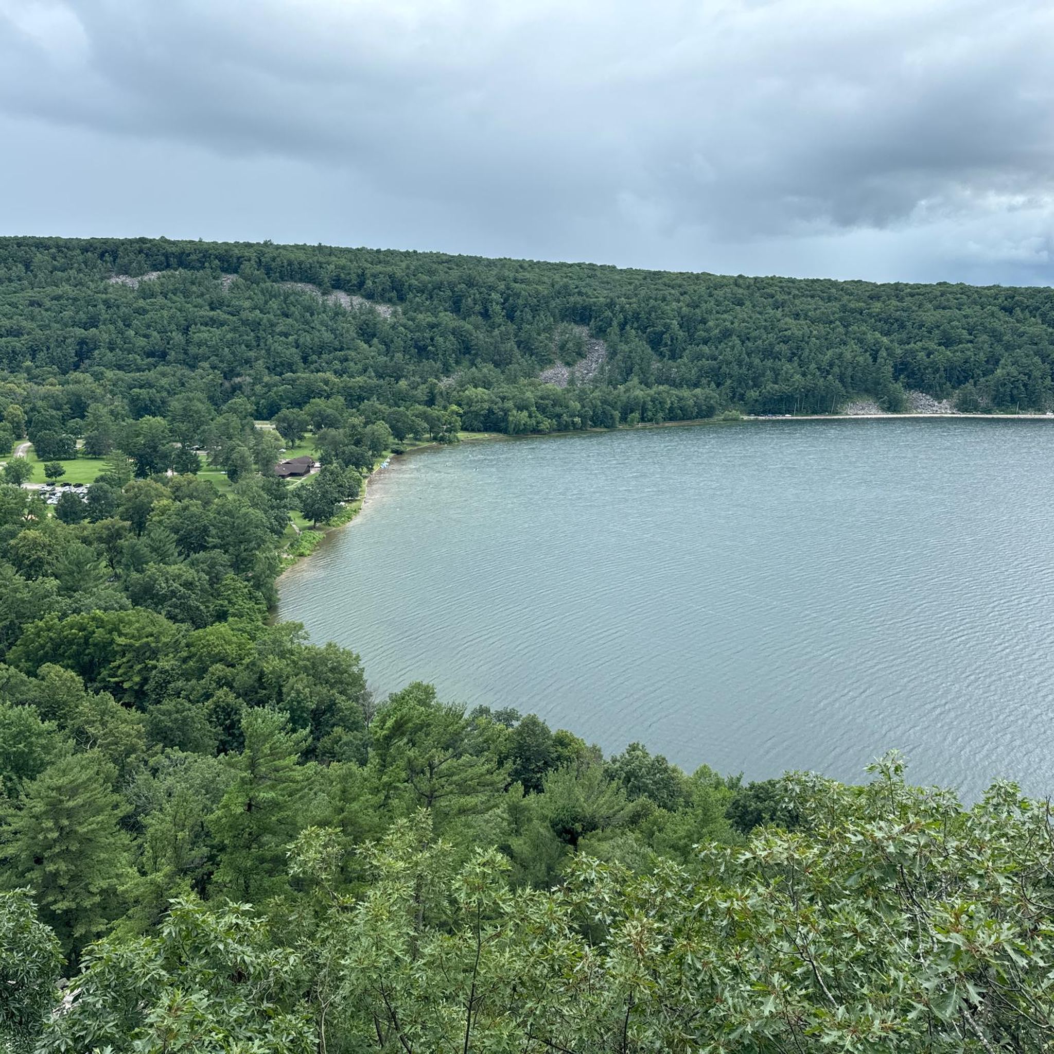
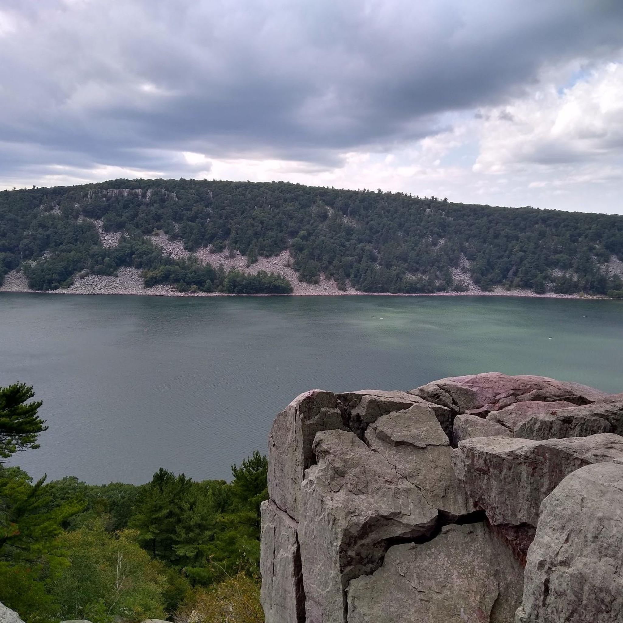
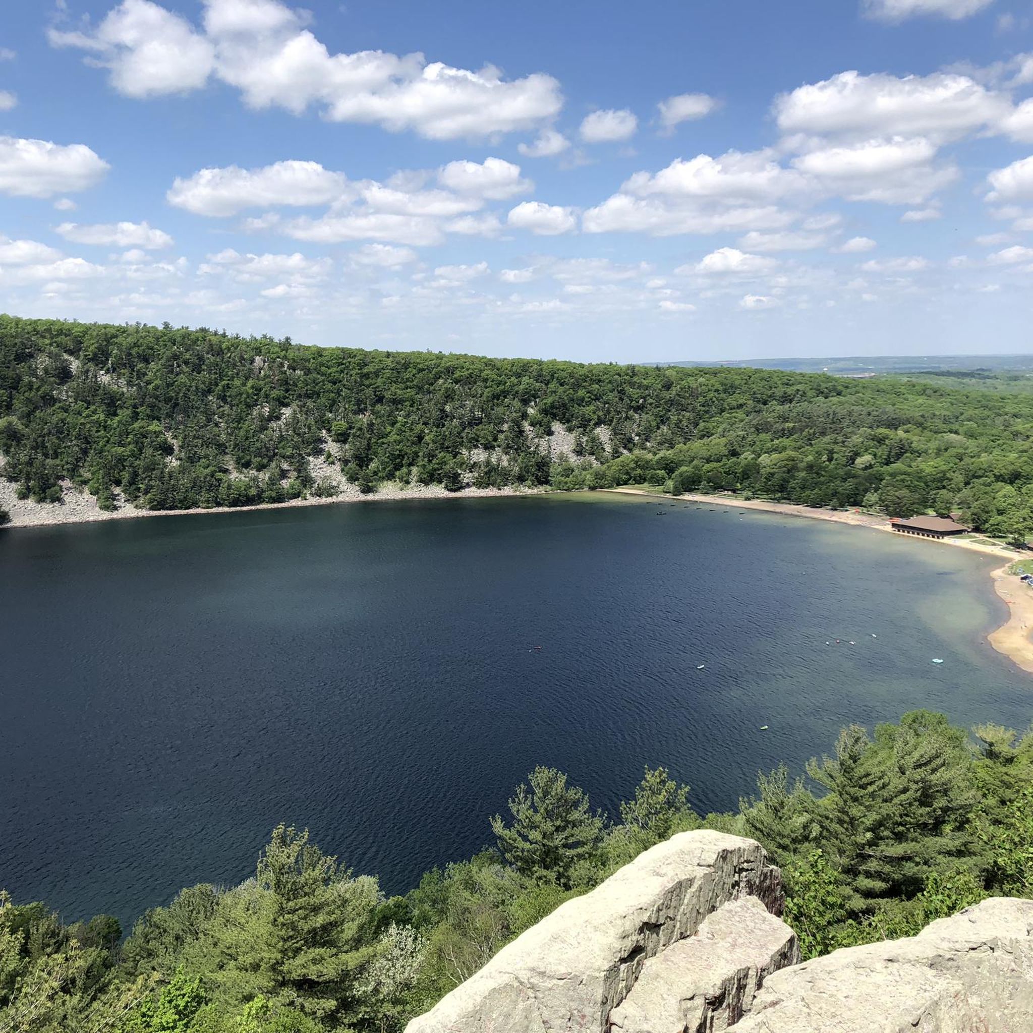
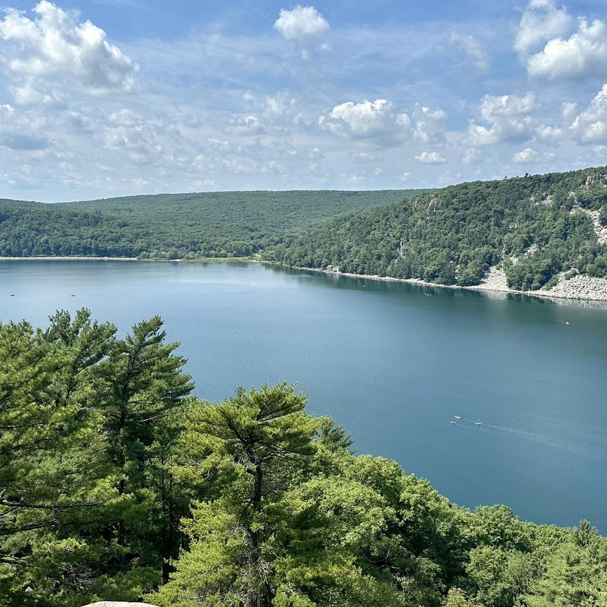
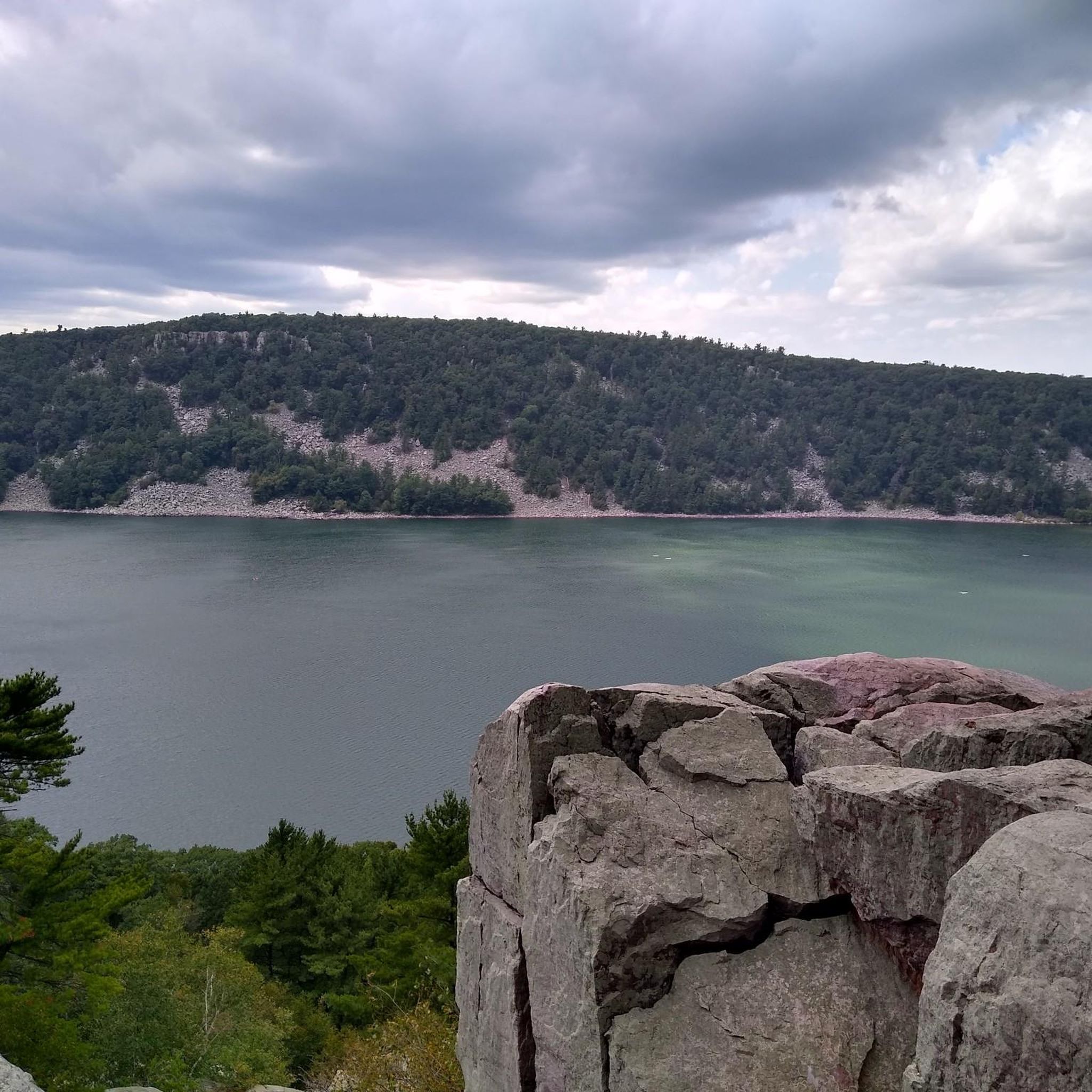
Road cycling routes in Columbia County traverse a landscape characterized by diverse rural scenery, including farmlands, open fields, and back roads. The region features a mix of gentle rolling hills and more challenging ascents, particularly around areas like Devil's Lake State Park. Road cyclists can explore routes that wind through charming small towns and alongside natural features, offering varied terrain for different skill levels.
Best road cycling routes in Columbia County
- The most popular road cycling route is Sauk City…
Last updated: June 28, 2026
10
riders
83.3km
04:31
770m
770m
The Sauk County loop offers a diverse road cycling experience, guiding you through a landscape that transitions from the tranquil banks of the Wisconsin River to the expansive rolling farmlands.…
4
riders
44.5km
02:09
200m
200m
The Cedar Hill loop offers a diverse road cycling experience, winding through a unique landscape where tallgrass prairie meets the rugged Balcones Escarpment. You'll pedal past wooded areas, open prairies,…

Sign up for free
1
riders
67.2km
03:02
280m
280m
The Portage loop in Wisconsin offers a delightful road cycling journey through the scenic floodplains of the Wisconsin and Baraboo Rivers. You'll encounter pleasant rural landscapes and gentle rolling hills,…
30.3km
01:27
150m
150m
The Crane loop is a fantastic option for a leisurely road cycling adventure, offering a smooth ride through the Wisconsin countryside. This easy 18.8-mile (30.3 km) route features a modest…
76.7km
04:04
730m
730m
The La Valle and Back loop offers a distinctive road cycling experience in Wisconsin, covering 47.7 miles (76.7 km) with 2387 feet (728 metres) of elevation gain over approximately 4…
161km
08:31
1,270m
1,270m
The Sauk City Century loop offers a demanding road cycling experience, guiding you through the varied topography of the Wisconsin River Valley. You'll pedal past scenic bluffs, across open prairies,…
28
riders
24.8km
01:03
90m
90m
Easy road ride. Great for any fitness level. Mostly well-paved surfaces and easy to ride.
17
riders
Easy road ride. Great for any fitness level. Mostly well-paved surfaces and easy to ride.
5.0
(1)
3
riders
Moderate road ride. Good fitness required. Mostly well-paved surfaces and easy to ride.
5.0
(1)
3
riders
24.7km
01:25
360m
360m
Moderate road ride. Good fitness required. Some segments of this route may be unpaved and difficult to ride.
Get access to more routes and recommendations from other explorers.
Sign up for free
Already have an account?
Our route recommendations are based on thousands of hikes, rides, and runs completed by other people on komoot.
Start today with a free account
Your next adventure awaits.
Login or Signup
Tips from the Community

This is a beautiful park with such cool animal themed signs for the park, the canoe launch, playground, splashpad and zipline. Great Sauk State Trail goes right through the park.
2
0

The Great Sauk Trail passes through the town of Prairie du Sac. It is here, the trail is both close to the river and to the city.
0
0

This portion of the trail is an easy, beautiful track through meadows that explode into flower in the warmer months. You get a great view of the bluffs from the trail, and can ascend the ridge if you continue along the Roznos Trail to the north. This segment is a part of the Ice Age National Scenic Trail.
0
0
The Great Sauk Trail is an old railway that runs north along the Wisconsin River up past the Sauk Prairie Recreation Area. Here you can see the old railroad bridge that used to run across the water and south through Mazomanie.
0
0

This 300-acre property features live crane exhibitions, showcasing 15 different species on-site. The park is dedicated to the conservation of cranes and the ecosystems they rely on. There is an admission fee to enter, and the schedule may vary, so it's important to check the hours of operation before planning your visit. You can find more information on their website: https://savingcranes.org.
0
0
The Pine Island Preserve lies in the floodplains of the Wisconsin and Baraboo Rivers and also includes several Wisconsin River islands. The name seems strange because you will see few pines. This has not been the case in the past. The white pine trees found on the banks of the Wisconsin River and on its islands were harvested at the beginning of the 20th century by settlers for the construction mainly of their houses and barns.
1
0

Lake Redstone is a 650-acre reservoir located in Lake Redstone County Park. The lake is a highly popular spot for fishing, boating, and swimming.
0
0
This church was built in 1895 and later served as the schoolhouse for the Hillside School. Apart from that, not much else is known about its history.
0
0
Frequently Asked Questions
What kind of terrain can I expect on road cycling routes in Columbia County?
Columbia County offers a diverse landscape for road cycling, characterized by a mix of farmlands, open fields, and rural back roads. You'll encounter both gentle rolling hills and more challenging ascents, particularly in areas like those around Devil's Lake State Park. The region's routes provide varied terrain suitable for different skill levels, often winding through charming small towns and alongside natural features.
Are there road cycling routes suitable for beginners in Columbia County?
Yes, Columbia County offers several easy road cycling routes. For instance, the Crane loop is an easy 18.8-mile (30.3 km) ride, and the Figors Mill Flowage loop from Pardeeville is another easy option at about 15.4 miles (24.8 km). These routes are ideal for those looking for a less strenuous ride.
What are some challenging road cycling routes for experienced riders?
For experienced riders seeking a significant challenge, the Sauk City Century loop is a difficult 99.8-mile (160.6 km) route with substantial elevation gain, typically taking over 8 hours to complete. This route is designed to test strength and stamina.
Are there loop road cycling routes in Columbia County?
Many of the road cycling routes in Columbia County are designed as loops, offering a convenient way to start and end your ride in the same location. Popular loop options include the Sauk County loop, Cedar Hill loop, and Portage loop, among others.
What scenic views or natural features can I expect to see while cycling?
Road cycling in Columbia County offers diverse scenery. Depending on the specific county, you might encounter picturesque landscapes with sweeping views of mountain ridges, such as the Catskills and Taconic ridges in New York's Columbia County. In other areas, routes traverse old timberlands, farmlands, open fields, and pastures, often running alongside major rivers like the Columbia River or expansive lakes such as Clarks Hill Lake (Lake Strom Thurmond).
Are there any specific landmarks or points of interest along the routes?
While cycling, you might pass through charming rural towns. In some Columbia Counties, you could encounter significant natural features like Devil's Lake State Park, or historical sites such as the Augusta Canal National Heritage Area, which offers views from the Savannah River Rapids Park. Olana State Historic Site in New York's Columbia County also provides notable views and historical context.
What is the best time of year for road biking in Columbia County?
The best time for road biking in Columbia County generally aligns with milder weather conditions, typically spring through fall. These seasons offer pleasant temperatures and vibrant scenery, making for more enjoyable rides. It's always advisable to check local weather forecasts before heading out.
Are there family-friendly road cycling options in Columbia County?
While specific family-friendly road cycling routes are not detailed in the guide, many Columbia Counties feature multi-use trails and greenways that are suitable for families. For example, the Evans to Locks Trail and the Augusta Canal Tow Path in Georgia's Columbia County are multi-use and wheelchair-accessible, catering to bikers of all levels. These types of trails often provide a safer and more relaxed environment for family rides.
What do other road cyclists enjoy most about road cycling in Columbia County?
The road cycling experience in Columbia County is highly rated by the komoot community, with an average score of 3.7 stars from over 3 reviews. Cyclists often praise the region's diverse rural scenery, including its farmlands, open fields, and varied terrain that offers options for all skill levels.
How many road cycling routes are available in Columbia County?
There are over 10 road cycling routes available in Columbia County, offering a range of experiences from easy to difficult. This includes 3 easy routes, 9 moderate routes, and 1 difficult route, ensuring options for various fitness levels and preferences.
Are there any routes that pass by lakes or significant water bodies?
Yes, some routes in Columbia County offer views of or pass near significant water bodies. For instance, the Figors Mill Flowage loop from Pardeeville passes by the Figors Mill Flowage. Additionally, the broader region, depending on the specific Columbia County, may feature routes near large lakes like Clarks Hill Lake or along rivers such as the Columbia River.
Can I find routes that are a good balance of distance and challenge?
Absolutely. The Sauk County loop is a popular moderate route, spanning 51.8 miles (83.3 km) and offering a balanced ride through varied rural landscapes. Another moderate option is the Portage loop, which is 41.8 miles (67.2 km) and leads through agricultural areas and past natural features.
Most popular routes in Columbia County

Get inspired with the komoot mobile app


Didn’t find what you were looking for?
Check out more Road cycling routes throughout Columbia County below and find the perfect route in your destination.
Explore more
Browse the best Road cycling routes in other regions.
