The best cycling routes in Washington County
4.8
(14)
412
riders
85
rides
Touring cycling routes in Washington County, Vermont, traverse a landscape characterized by varied topography, including rolling hills and river valleys. The region offers a mix of paved roads and trails, often featuring scenic routes that pass through historic covered bridges. These routes provide diverse cycling experiences, from gentler paths along waterways to more challenging ascents.
Best touring cycling routes in Washington County
- The most popular touring cycling route is Cross Vermont Trail, a 27.6 miles (44.4 km) trail that…
Last updated: July 7, 2026
3
riders
44.4km
03:09
250m
250m
Moderate bike ride. Good fitness required. Mostly paved surfaces. Suitable for all skill levels.
57.4km
03:42
470m
470m
Hard bike ride. Very good fitness required. Mostly paved surfaces. Suitable for all skill levels.

Sign up for free
5.0
(1)
20
riders
69.7km
06:23
1,050m
1,050m
Hard bike ride. Very good fitness required. Mostly paved surfaces. Suitable for all skill levels.
12
riders
Hard bike ride. Very good fitness required. Mostly paved surfaces. Suitable for all skill levels.
18
riders
41.4km
03:28
730m
730m
Hard bike ride. Very good fitness required. Mostly paved surfaces. Suitable for all skill levels.
12
riders
25.5km
01:37
310m
310m
Moderate bike ride. Good fitness required. Mostly paved surfaces. Suitable for all skill levels.
11
riders
Hard bike ride. Very good fitness required. Mostly paved surfaces. Suitable for all skill levels.
11
riders
24.3km
01:39
140m
140m
Easy bike ride. Great for any fitness level. Mostly paved surfaces. Suitable for all skill levels.
8
riders
27.3km
02:38
450m
450m
Hard bike ride. Very good fitness required. Mostly paved surfaces. Suitable for all skill levels.
10
riders
10.2km
01:09
310m
310m
Moderate bike ride. Good fitness required. Mostly paved surfaces. Suitable for all skill levels.
Get access to more routes and recommendations from other explorers.
Sign up for free
Already have an account?
Our route recommendations are based on thousands of hikes, rides, and runs completed by other people on komoot.
Start today with a free account
Your next adventure awaits.
Login or Signup
Popular around Washington County




Other adventures in Washington County

Tips from the Community

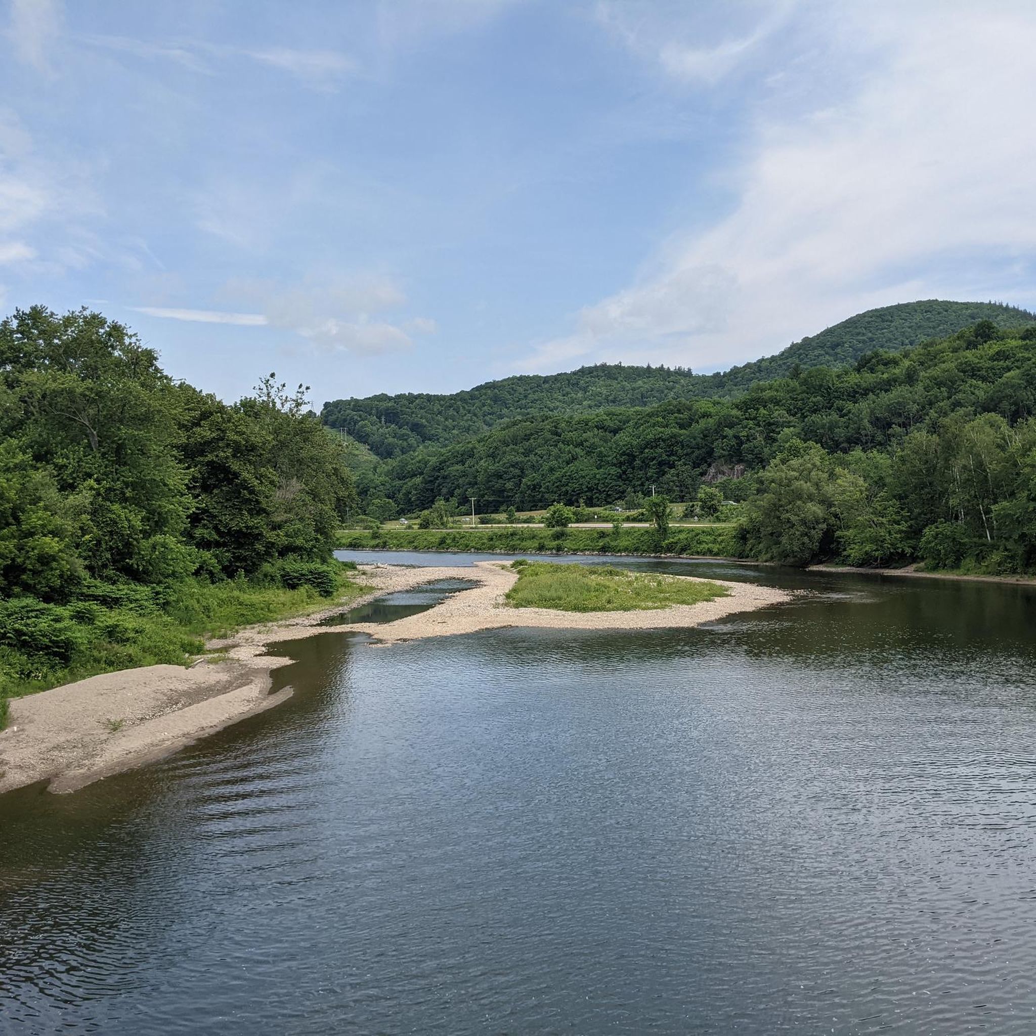
For now, at least, this section of the Cross-Vermont Trail overlaps with Route 2. At least you have the pretty Winooski River for company!
0
0
A nice stretch of gravel road — nothing stressful to ride. It ties into the Cross-Vermont Trail and the Montpelier Bike Trail.
0
0
This ride is about as idyllic as it can get, following an old railbed (translation: almost no incline gain/loss) through what's now a dirt doubletrack through the trees. Make sure to stay on the trail and pay attention to any posted access warnings.
0
1

The Winooski West Path is a 2.6-mile paved multiuse trail that follows along the scenic Winooski River through a mix of forest and urban landscapes. This trail is perfect for walking, biking, and running, as it's mostly flat with views of the water the entire way. It's easily accessible from downtown, making it an ideal spot for a relatively short hike—whether you're taking a lunch break or simply want to spend an hour enjoying a stroll along the beautiful waterfront.
0
0

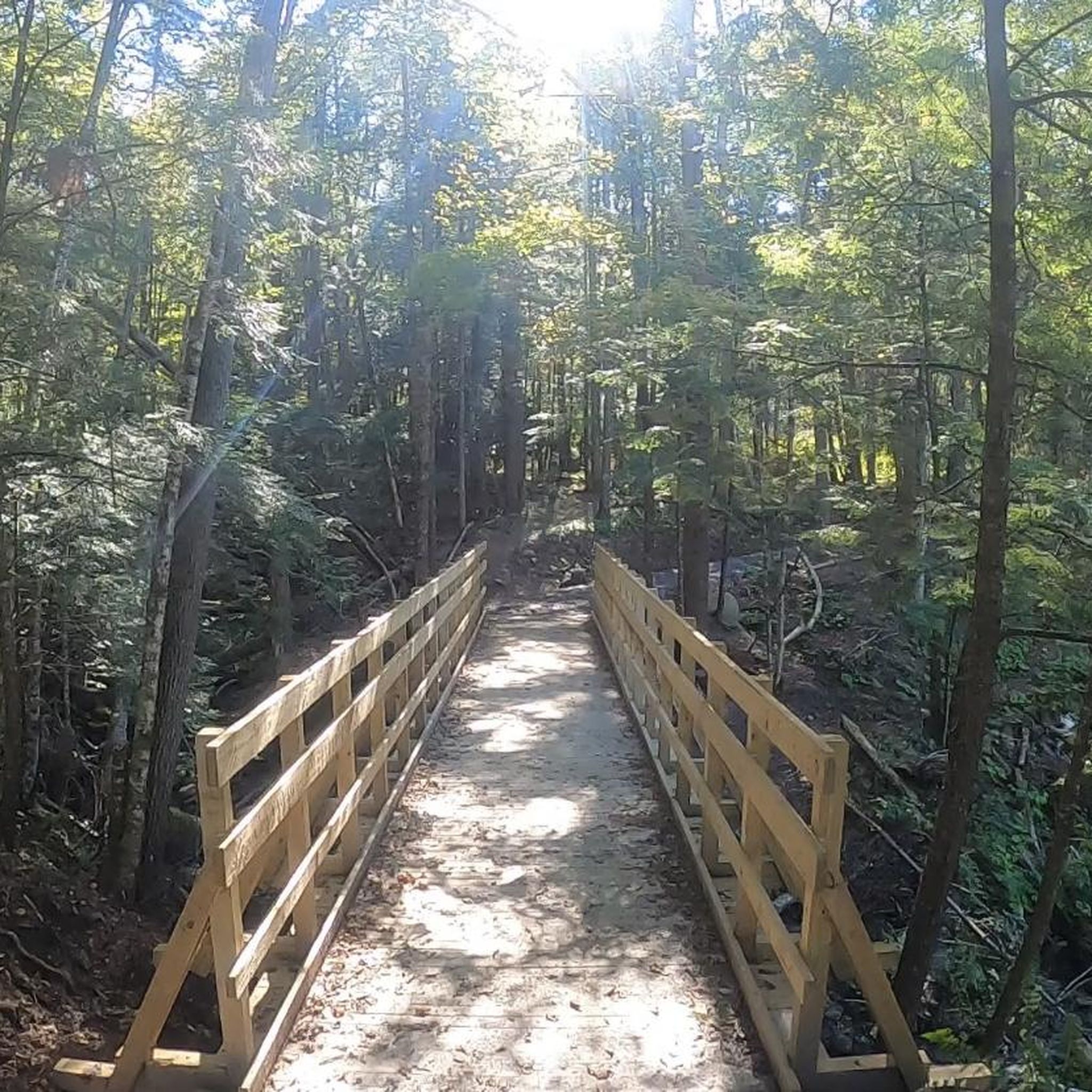
Lintilhac Park is a lovely little park behind the Stowe Community Church and is a common access point for the southern end of the Stowe Recreation Path, just north of Main Street, Stowe. The Stowe Recreation Path is a popular, scenic, 5.3-mile paved trail that is open for bikers and walkers, and is groomed in the winter for cross-country skiers. This fantastic trail crosses Little River several times via wooden bridges, has multiple spots for swimming, and offers direct access to many restaurants and shops in Stowe. There is a bike repair station at Lintilhac Park for those who might need it, in addition to parking for the Recreation Path.
0
0
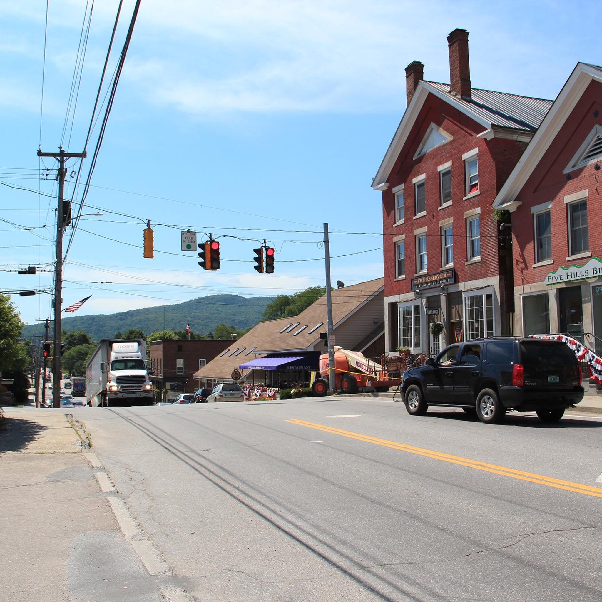
A coffee shop and a brewery right across the street from each other! What more can you ask for on a relaxing ride around Stowe? Idletyme Brewing and PK Coffee are two great spots to grab a burger and beer or coffee and pastry depending on your mood (and time of day). Both of these local-favorite spots are right off of the Stowe Recreational Path, making them convenient to stop at and refuel as you explore the area.
0
0
The trees clear out near the top of 1207-foot Barnes Hill, giving you some nice views of the landscape around you. It's a nice climb to get up here, but no so bad that you need quads of steel to make it.
0
0
Frequently Asked Questions
How many touring cycling routes are available in Washington County, Vermont?
Washington County, Vermont, offers nearly 80 touring cycling routes. These routes traverse a diverse landscape of rolling hills and river valleys, providing a mix of paved roads and trails suitable for various skill levels.
What kind of terrain can I expect on touring cycling routes in Washington County, Vermont?
You can expect a varied topography, including rolling hills and scenic river valleys. Routes often feature a mix of paved roads and trails, with some offering gentler paths along waterways and others presenting more challenging ascents through the Vermont landscape. The region's unique blend of geophysical features contributes to its diverse life zones and natural beauty.
Are there easy touring cycling routes suitable for beginners in Washington County, Vermont?
Yes, there are 5 easy touring cycling routes in Washington County, Vermont. An excellent option for beginners is the Siboinebi Path loop from Montpelier Number Four Dam, which is 8.9 miles (14.4 km) long and features minimal elevation gain, making it a pleasant ride.
Are there challenging touring cycling routes for experienced cyclists in Washington County, Vermont?
For experienced cyclists seeking a challenge, Washington County, Vermont, offers 39 difficult touring routes. The Cross Vermont Trail: Montpelier to Marshfield is a notable difficult route, spanning 35.7 miles (57.4 km) with significant elevation changes, providing a demanding yet rewarding experience.
What natural features and landmarks can I see along touring cycling routes in Washington County, Vermont?
Many routes pass through picturesque river valleys and past water features. You can also find historic covered bridges, which are a hallmark of the region. For specific landmarks, consider routes near the Spruce Mountain Fire Tower or the Camel's Hump Summit, offering stunning views. The Winooski West Path is also a popular trail that cyclists can explore.
Are there any loop touring cycling routes in Washington County, Vermont?
Yes, Washington County offers several excellent loop routes. A popular choice is the Winooski West Path – Sodom Pond loop from Montpelier, which is 44.2 miles (71.1 km) long and takes about 6 hours 33 minutes to complete, leading through river valleys and past various water features.
What do other touring cyclists enjoy most about touring cycling in Washington County, Vermont?
The touring cycling routes in Washington County are highly rated by the komoot community, with an average score of 4.8 stars from more than 10 reviews. Cyclists often praise the scenic routes, the charm of historic covered bridges, and the varied terrain that offers options for different ability levels, from easy paths to more difficult climbs.
Are there touring cycling routes that pass by historic covered bridges?
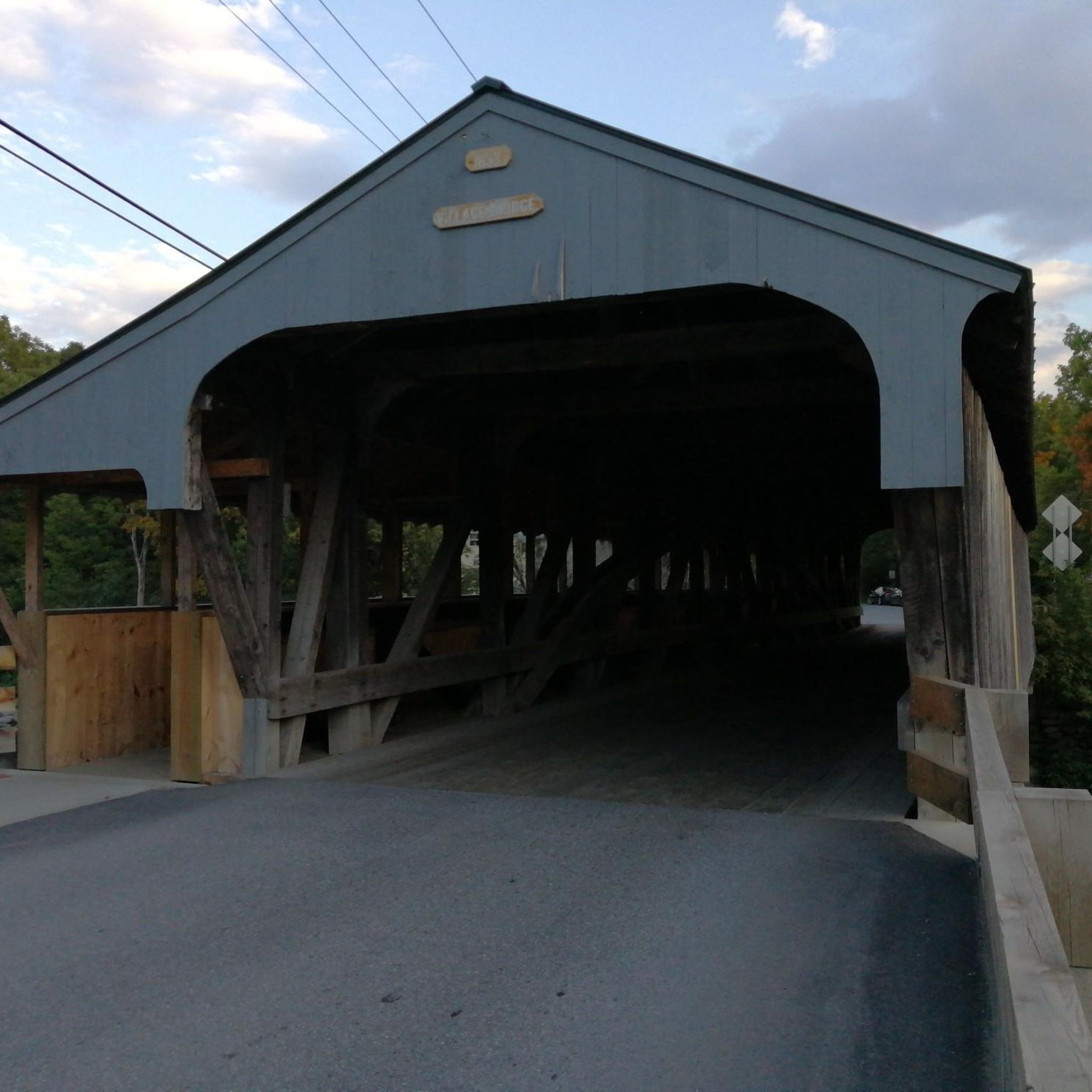
Yes, touring cycling in Washington County, Vermont, is known for its scenic routes that often pass through historic covered bridges. The Gold Brook Covered Bridge – Loomis Hill loop from Waterbury-Stowe and the Great Eddy Covered Bridge loop from Waitsfield are excellent examples of routes that incorporate these charming landmarks.
What is the longest touring cycling route in Washington County, Vermont?
The longest touring cycling route highlighted in the area is the Winooski West Path – Sodom Pond loop from Montpelier, which spans 44.2 miles (71.1 km). This route offers an extensive ride through river valleys and past water features.
Are there family-friendly touring cycling routes in Washington County, Vermont?
While specific 'family-friendly' designations are not always available, routes with 'easy' difficulty are generally suitable for families. The Siboinebi Path loop from Montpelier Number Four Dam is an easy 8.9-mile (14.4 km) route with minimal elevation, making it a good option for a leisurely family ride.
Can I find routes that offer views of water bodies or beaches?
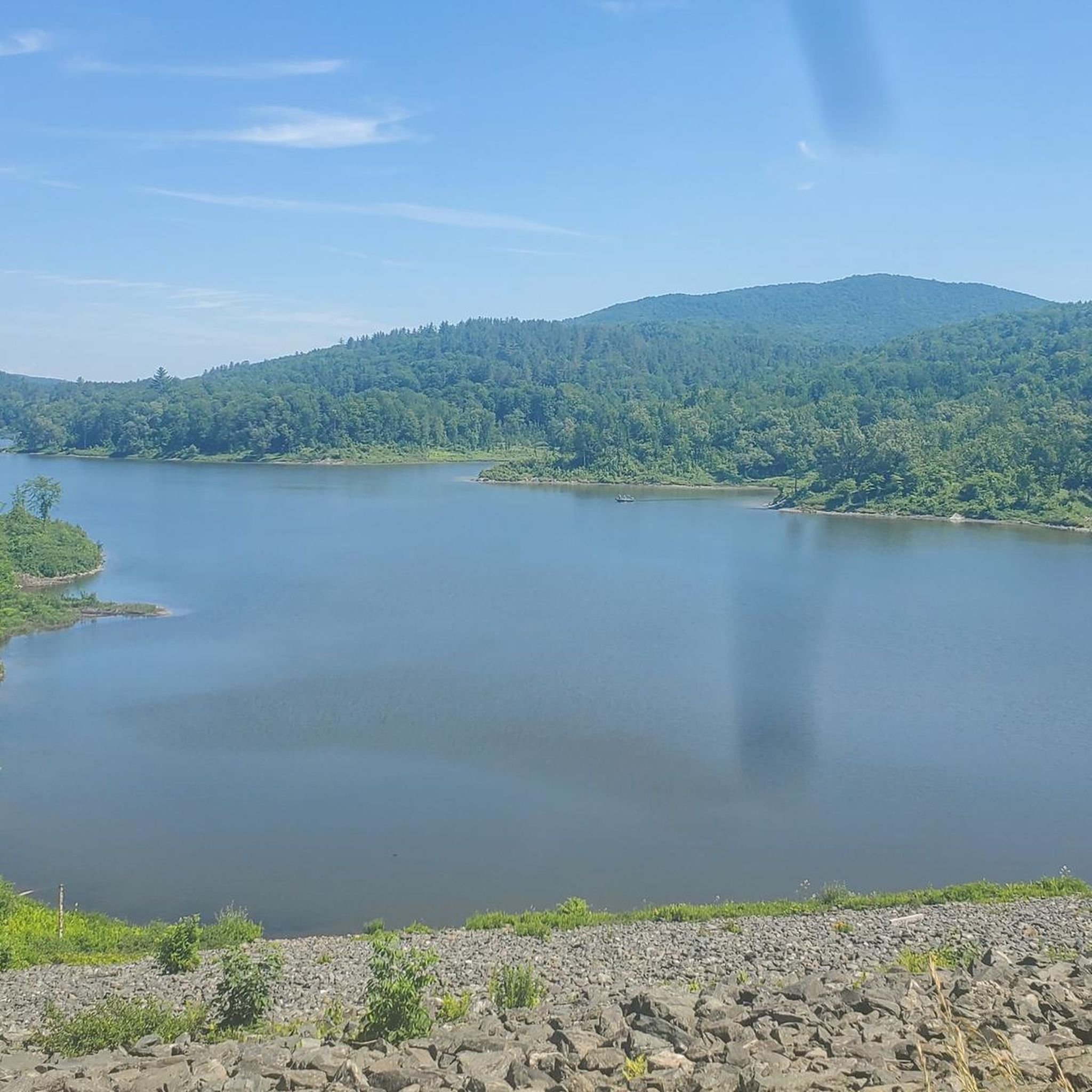
Yes, several routes in Washington County, Vermont, lead through river valleys and past various water features. For a specific highlight, the Waterbury Reservoir Beach (Little River State Park Campground A) is a notable attraction that could be incorporated into a ride, offering a scenic stop by the water.
What is the best season for touring cycling in Washington County, Vermont?
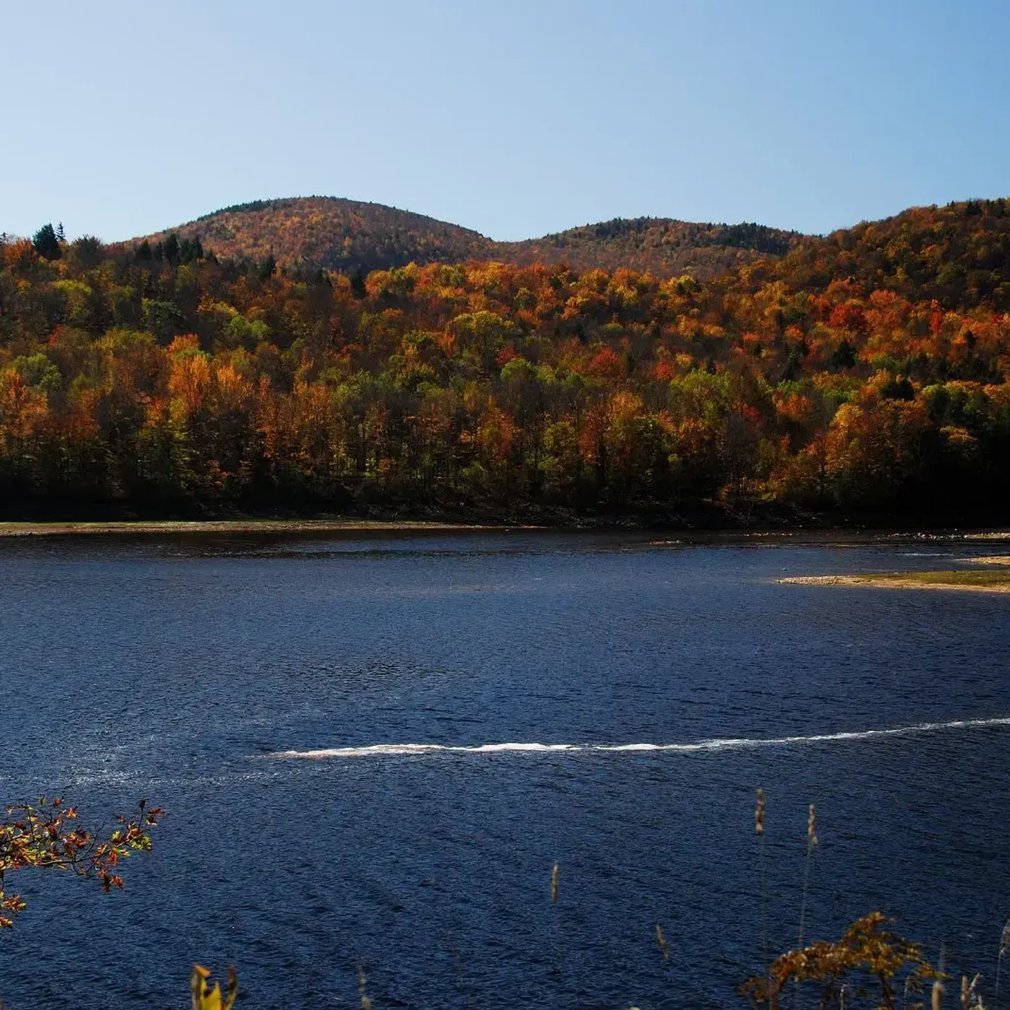
The region's varied topography and natural beauty are best enjoyed during the warmer months, typically from spring through fall. The autumn foliage provides particularly stunning scenery. While winter conditions can be challenging due to snow and ice, specific routes may be accessible depending on maintenance and weather.
Most popular routes in Washington County
Most popular attractions in Washington County

Get inspired with the komoot mobile app


Didn’t find what you were looking for?
Check out more Cycling routes throughout Washington County below and find the perfect route in your destination.
Explore more
Browse the best Cycling routes in other regions.
