The best MTB trails around Bjørheimsvatnet
4.2
(6)
26
riders
4
rides
Mountain biking around Bjørheimsvatnet offers varied terrain within Norway's Rogaland county, characterized by its dramatic fjords, mountains, and scenic lakes. The region provides a diverse environment for mountain bikers, with routes often featuring hilly sections and rewarding views. Riders can expect a mix of paths that traverse the natural landscape, including areas around the lake and towards higher elevations. This topography naturally supports diverse mountain biking experiences.
Best mountain bike trails around Bjørheimsvatnet
- The most popular mountain bike trail is…
Last updated: June 28, 2026
5.0
(1)
5
riders
21.6km
01:39
400m
400m
Moderate mountain bike ride. Good fitness required. Suitable for all skill levels.
4
riders
26.5km
01:54
500m
500m
Moderate mountain bike ride. Good fitness required. Suitable for all skill levels.

Sign up for free
3
riders
20.0km
01:29
370m
370m
Moderate mountain bike ride. Good fitness required. Suitable for all skill levels.
4.0
(1)
5
riders
15.9km
01:13
380m
380m
Moderate mountain bike ride. Good fitness required. Suitable for all skill levels.
3.5
(4)
9
riders
31.2km
02:09
580m
580m
Moderate mountain bike ride. Good fitness required. Suitable for all skill levels.
Our route recommendations are based on thousands of hikes, rides, and runs completed by other people on komoot.
Start today with a free account
Your next adventure awaits.
Login or Signup
Tips from the Community

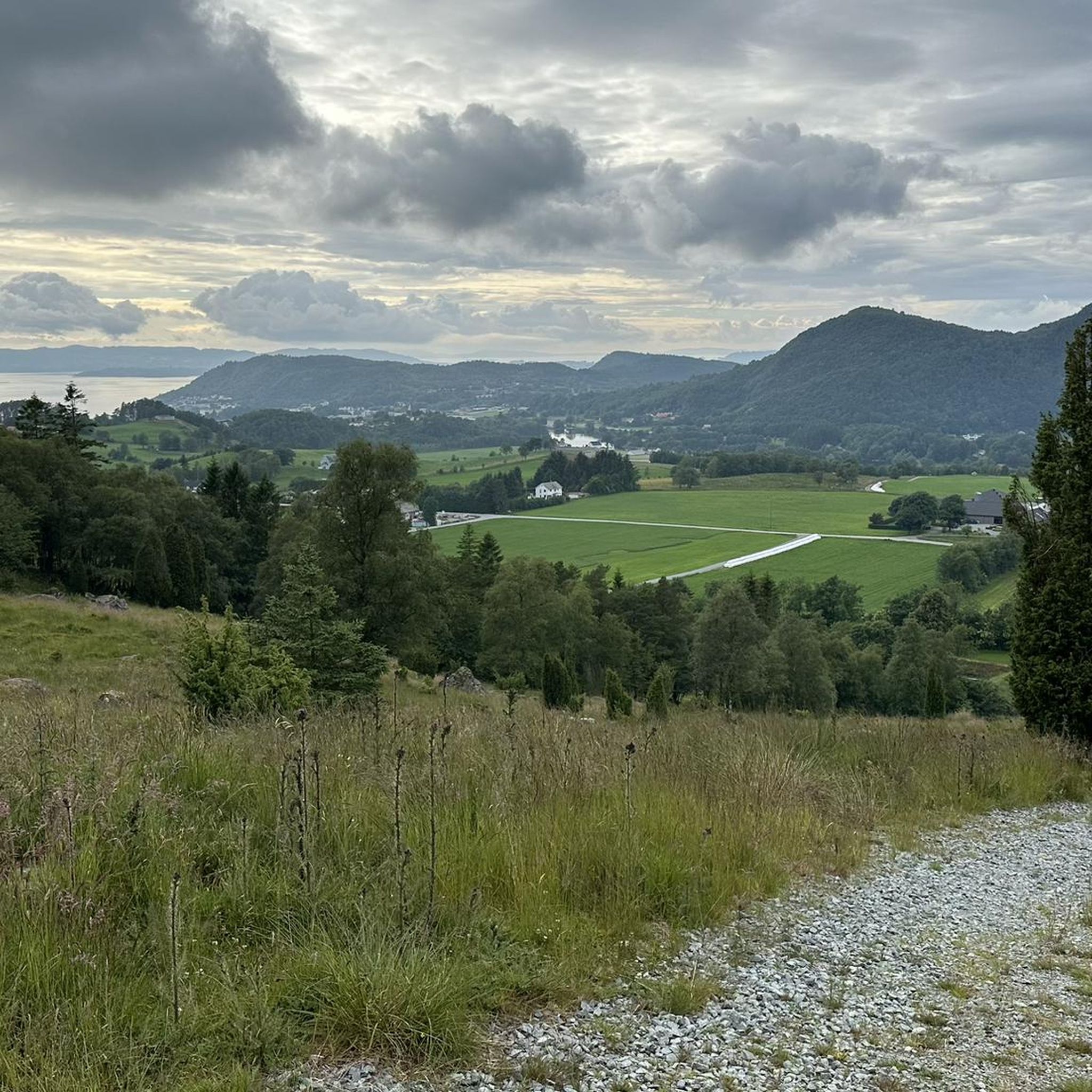
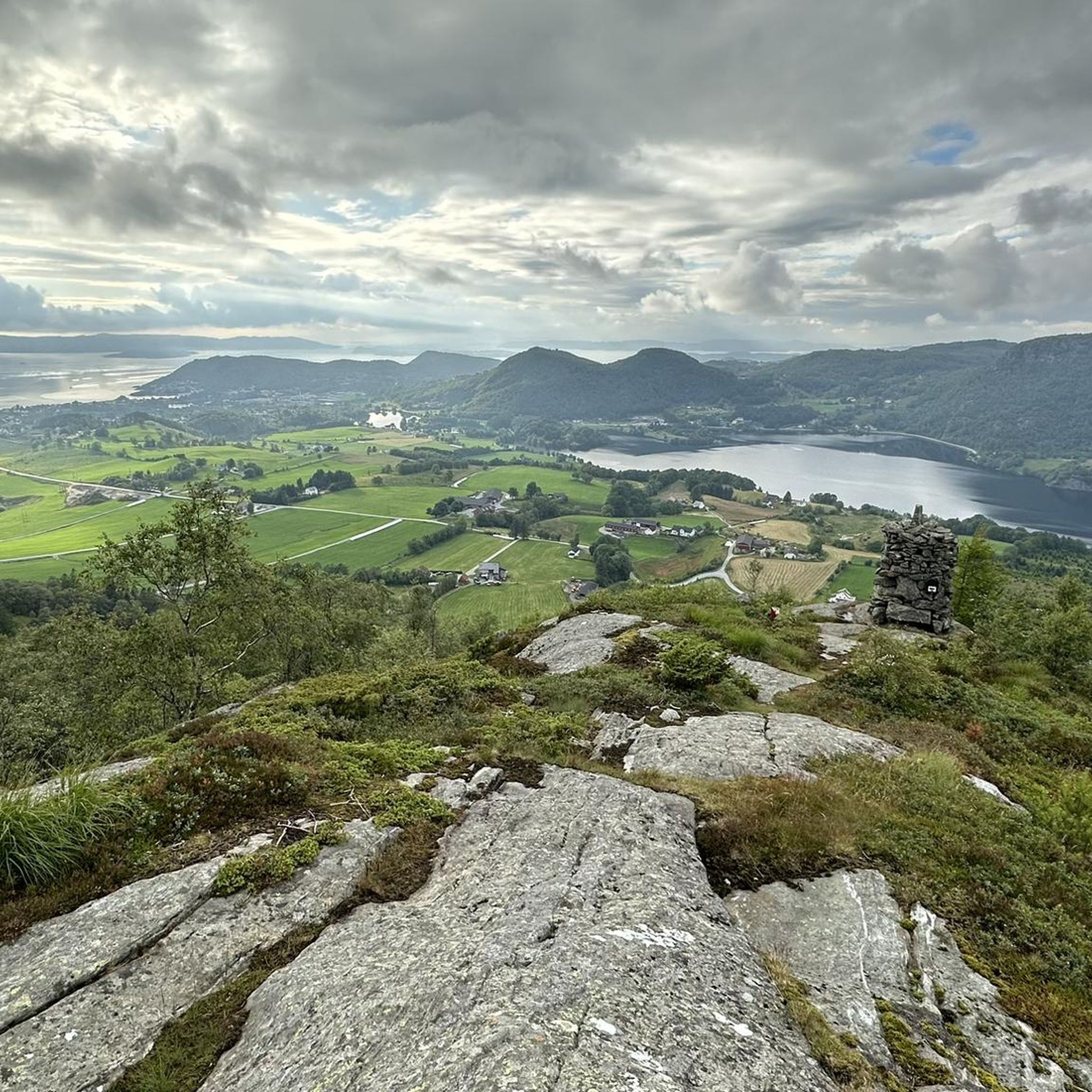
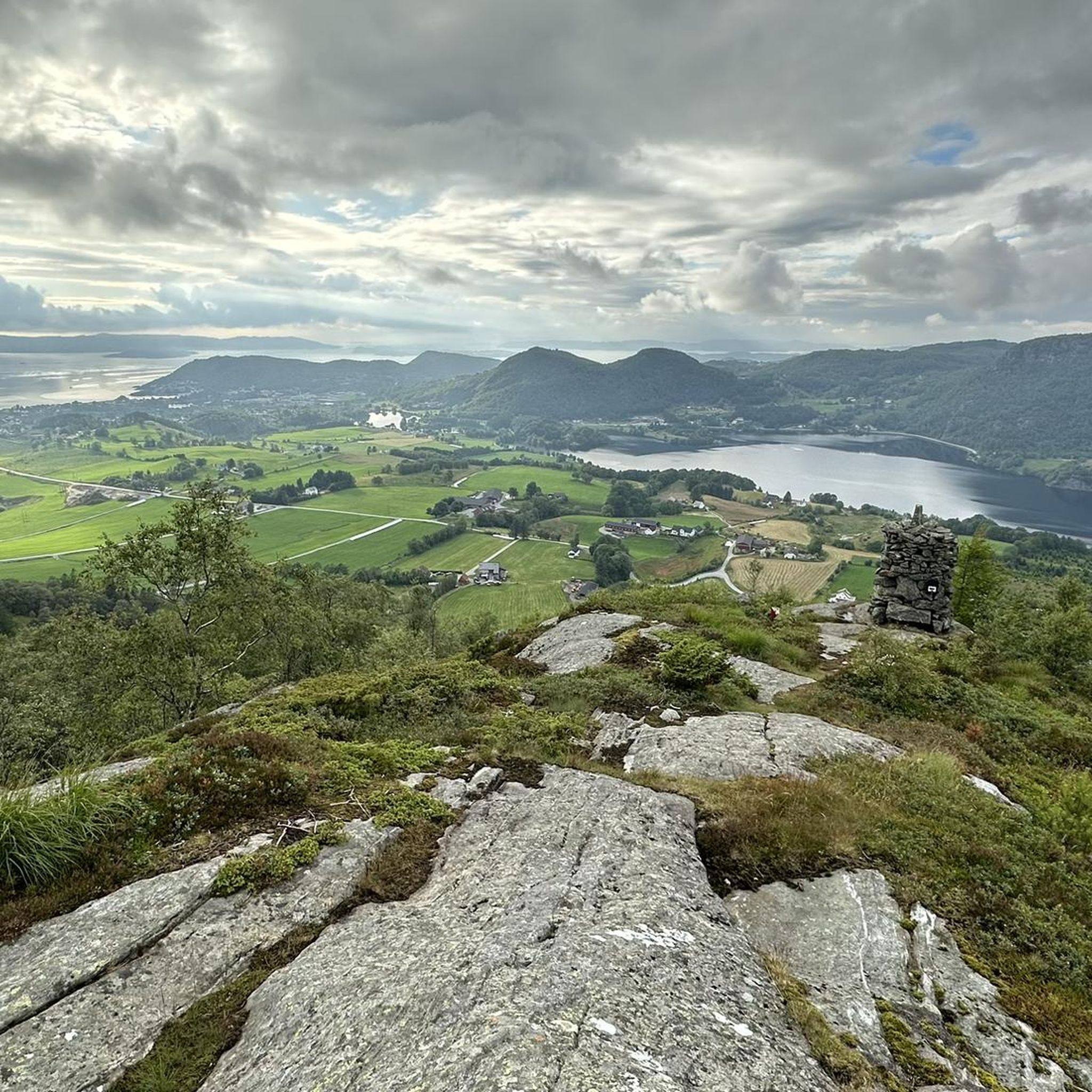
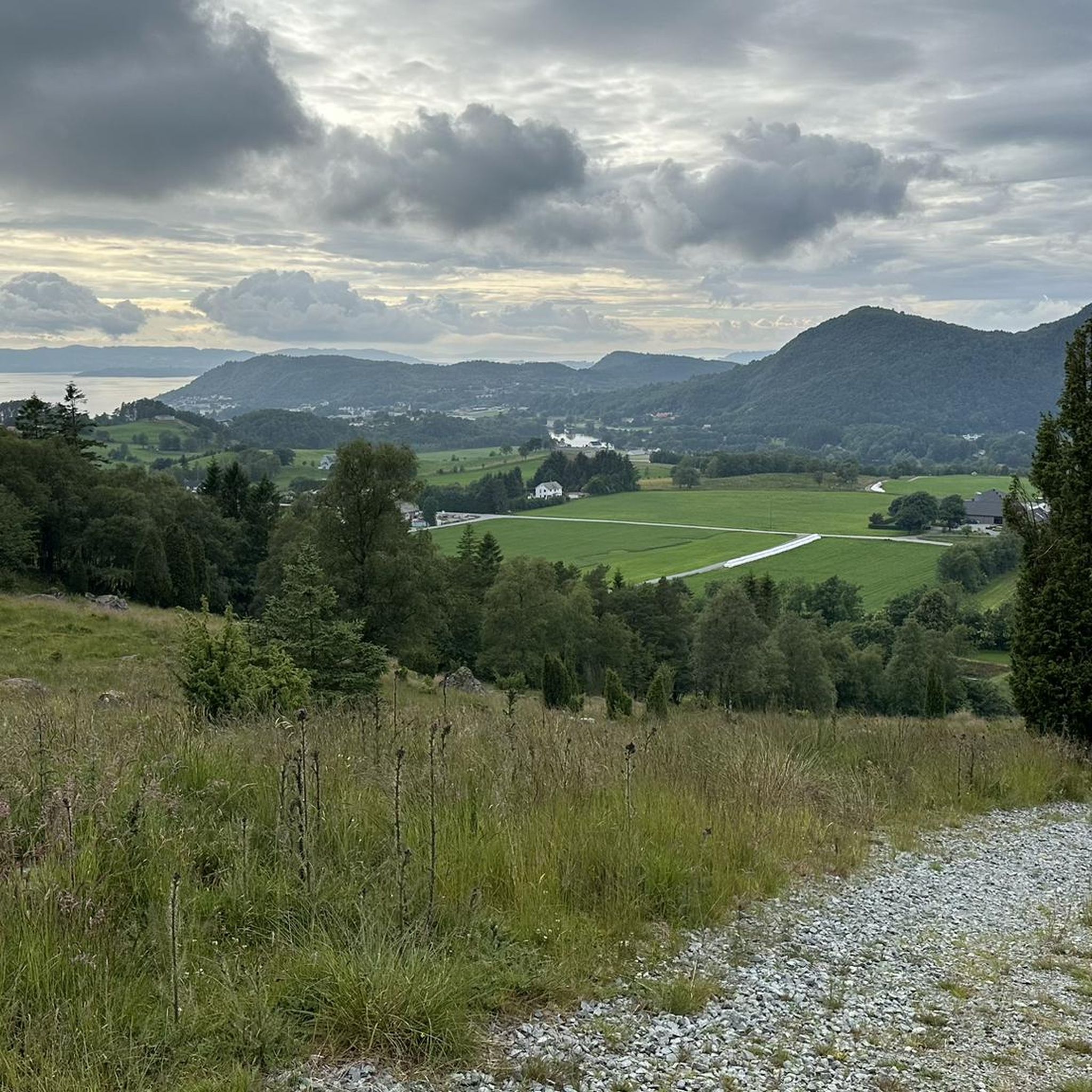
This spot offers an amazing viewpoint on the fjord, with a nice green foreground and mountains on the background.
0
0

The road to Preikestolhytta, the starting point of the hike to Preikestolen.
3
1
Frequently Asked Questions
What kind of terrain can I expect on mountain bike trails around Bjørheimsvatnet?
The mountain bike trails around Bjørheimsvatnet offer varied terrain, characteristic of Norway's Rogaland county. You can expect a mix of paths traversing hilly sections, often with challenging climbs, and rewarding views of the dramatic fjords, mountains, and scenic lakes. The region provides a diverse environment, from areas directly around the lake to higher elevations.
Are there any easy mountain bike trails suitable for beginners around Bjørheimsvatnet?
Currently, all listed mountain bike trails around Bjørheimsvatnet are rated as moderate difficulty. While there are no specifically easy trails, the moderate routes offer a good challenge for those with some mountain biking experience. For example, the Kuvika loop from Jørpeland is a moderate 21.6 km trail that takes about 1 hour 38 minutes.
What are the best times of year for mountain biking in Bjørheimsvatnet?
The best time for mountain biking around Bjørheimsvatnet is typically during the warmer months, from late spring to early autumn (May to September). During this period, the weather is generally more stable, and trails are free of snow and ice, offering optimal riding conditions and clear views of the scenic landscape.
Are there any family-friendly mountain bike routes in the Bjørheimsvatnet area?
While all listed routes are moderate, families with older children or those with some mountain biking experience might enjoy the less strenuous sections of trails. The region's diverse landscape offers many opportunities for outdoor activities, but specific 'family-friendly' designated mountain bike routes are not explicitly detailed. Always check the route details for elevation and distance to ensure it suits your family's ability.
Can I bring my dog on the mountain bike trails around Bjørheimsvatnet?
Generally, dogs are welcome on many outdoor trails in Norway, but it's crucial to keep them on a leash, especially during lambing season (April-June) and to protect wildlife. Always check local regulations or specific trail signs for any restrictions before heading out with your dog. Ensure your dog is fit enough for the terrain and distance.
Are there any circular mountain bike routes available?
Yes, several mountain bike routes around Bjørheimsvatnet are designed as loops, allowing you to start and finish at the same point. Examples include the Fuglahammaren – Litle Velandsåsen loop from Vatne, which is 26.5 km long, and the Fjellsbakkane loop from Jørpeland, covering 20.0 km.
What kind of views or natural features can I expect to see along the trails?
The trails around Bjørheimsvatnet are set within Rogaland's dramatic fjord and mountain landscape. You can expect magnificent views of the lake itself, surrounding mountains, and potentially glimpses of the sea from higher points. Viewpoints like Almåsen and Bjørheimsheia are known for offering panoramic vistas of Bjørheimsvatnet and the wider region.
Where can I find parking for mountain biking near Bjørheimsvatnet?
Specific parking information for each trailhead is usually available on the individual route pages. Many routes, such as the Kuvika loop and Fjellsbakkane loop, start from Jørpeland, a nearby town, where public parking options may be available. It's advisable to check the starting point of your chosen route for the most convenient parking.
Are there any cafes or restaurants near the mountain bike trails?
While the trails themselves are in natural settings, nearby towns like Jørpeland and Bjørheimsbygda offer amenities including cafes and restaurants where you can refuel after your ride. It's a good idea to plan your route to pass through or near these areas if you intend to stop for food or drinks.
How many mountain bike trails are there in the Bjørheimsvatnet area?
There are currently 5 mountain bike trails listed around Bjørheimsvatnet, all of which are rated as moderate difficulty. These routes offer a combined total of over 110 kilometers of riding through the region's scenic landscape.
What do other mountain bikers enjoy most about mountain biking in Bjørheimsvatnet?
The mountain biking experience in Bjørheimsvatnet is highly rated by the komoot community, with an average score of 4.0 stars from over 5 reviews. Riders often praise the varied terrain, the rewarding views of the fjords and mountains, and the opportunity to explore Norway's dramatic natural beauty on two wheels.
Is there public transport access to the mountain bike trails around Bjørheimsvatnet?
Public transport options might be available to larger towns near Bjørheimsvatnet, such as Jørpeland or Bjørheimsbygda, which serve as starting points for some routes. However, direct public transport access to specific trailheads in more remote areas may be limited. It's recommended to check local bus schedules or consider driving to the starting points.
Most popular routes around Bjørheimsvatnet

Get inspired with the komoot mobile app


Explore more
Browse the best MTB trails in other regions.
