The best walks and hikes around Bjørheimsvatnet
4.5
(556)
2,719
hikers
60
hikes
Hiking around Bjørheimsvatnet offers diverse trails through a landscape characterized by scenic lake views, mountains, and natural features. The region, nestled in Rogaland, Norway, provides a range of options from accessible paths to more challenging climbs. Hikers can experience the dramatic natural beauty shaped by ancient glaciers, including small lakes and streams. The area features varied terrain suitable for different fitness levels.
Best hiking trails around Bjørheimsvatnet
- The most popular hiking route is View of a Small Lake – Bjørheimsheia…
Last updated: May 17, 2026
4.6
(5)
15
hikers
18.6km
06:01
800m
800m
Hard hike. Very good fitness required. Easily-accessible paths. Suitable for all skill levels.
5.0
(5)
8
hikers
Moderate hike. Good fitness required. Easily-accessible paths. Suitable for all skill levels.

Sign up for free
5.0
(3)
5
hikers
13.0km
04:01
460m
460m
Moderate hike. Good fitness required. Easily-accessible paths. Suitable for all skill levels.
5.0
(1)
5
hikers
6.40km
01:43
70m
80m
Easy hike. Great for any fitness level. Easily-accessible paths. Suitable for all skill levels.
6
hikers
6.30km
01:49
140m
140m
Easy hike. Great for any fitness level. Easily-accessible paths. Suitable for all skill levels.
Get access to more routes and recommendations from other explorers.
Sign up for free
Already have an account?
Our route recommendations are based on thousands of hikes, rides, and runs completed by other people on komoot.
Start today with a free account
Your next adventure awaits.
Login or Signup
Tips from the Community


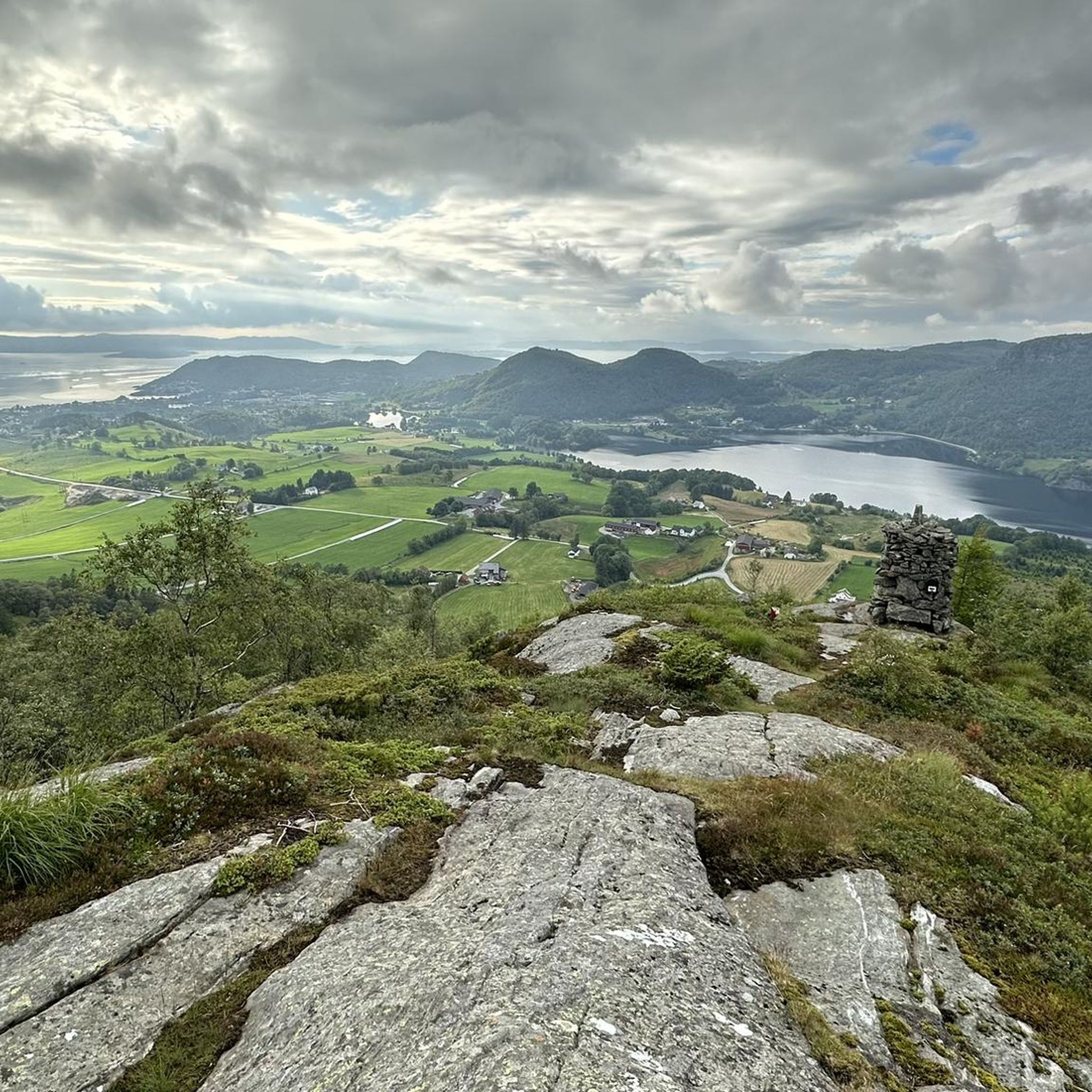
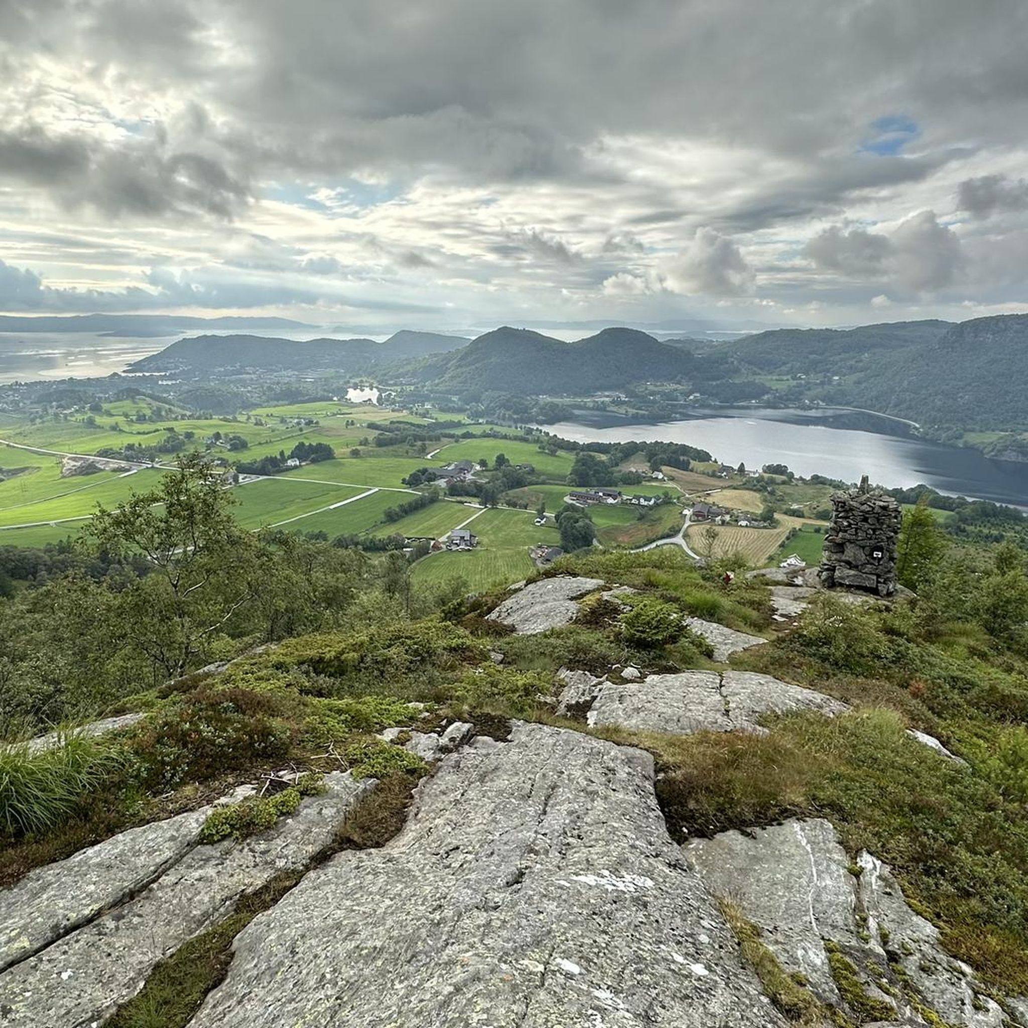
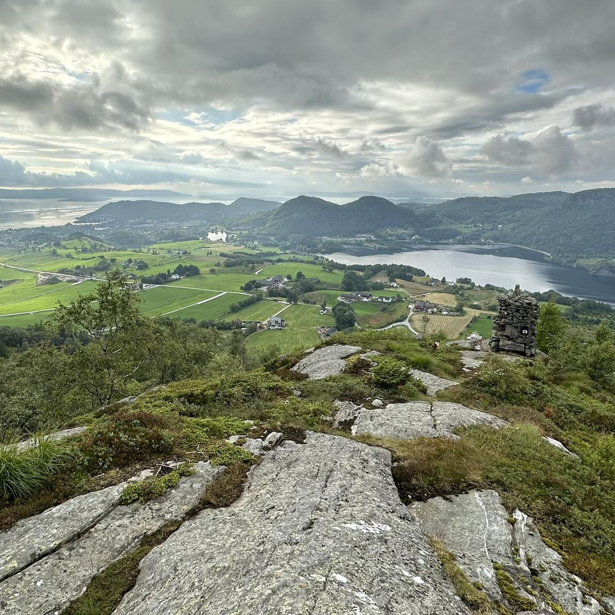
The summit offers a good view of Bjørheimsvatnet and the sea
0
0
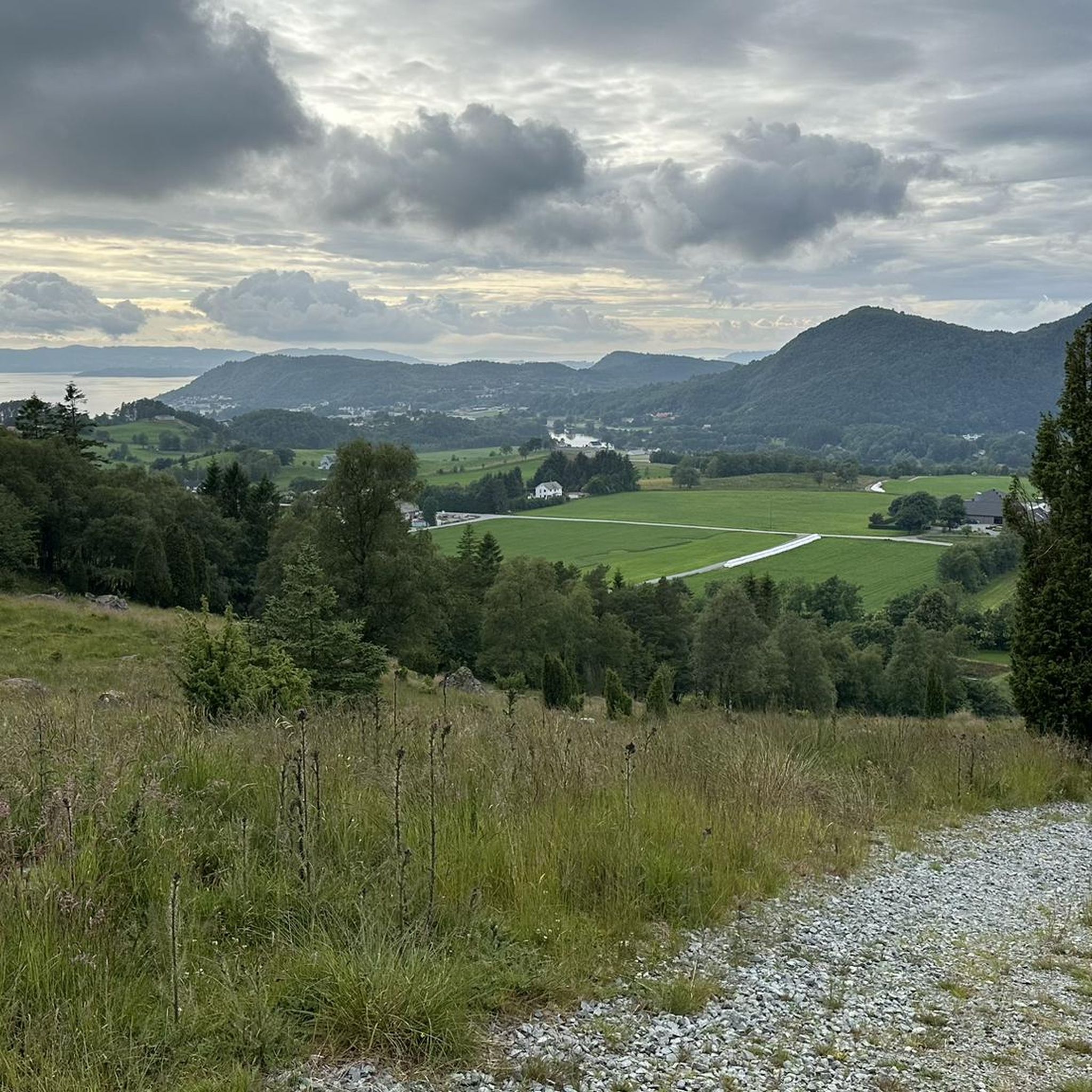
Reinaknuten is the highest peak in the area and offers spectacular views of Tysdalsvatnet and the surrounding area.
0
0

A great starting point for a trip to Reinaknuten and other fun. Fee NOK 50, paid with vipps and is worth it. Nice sculpture by the parking lot that frames the view. Good trip!
0
0

... makes you think, this place, almost all of them were still young people...
0
0
... The pasture gate about 1.5 km before the car park can be opened, but please close it again, otherwise the sheep 🐑 will sneak out...
0
0
... no more eggs on the trunk... must have flown away...
0
0

The historic mills (Gamle Molle) are also located at the waterfall.
2
0
Frequently Asked Questions
What types of hiking trails can I expect around Bjørheimsvatnet?
The Bjørheimsvatnet area offers a diverse range of hiking trails, from easy strolls to challenging climbs. You'll find paths suitable for all skill levels, with durations varying from under two hours for easier routes to up to five hours or more for strenuous hikes. The terrain includes beautiful lake views, majestic mountains, and serene small lakes and streams, all shaped by ancient glaciers.
Are there any easy hikes suitable for beginners or families around Bjørheimsvatnet?
Yes, Bjørheimsvatnet has several easy routes perfect for beginners or families. For example, the Mølleparken (Mühlenpark) loop from Tau naturreservat is an easy 4.1-mile (6.6 km) trail that takes about 1 hour 46 minutes to complete. Another accessible option is the Taurafjell loop from Tau naturreservat, which is 6.3 miles (6.3 km) and also considered easy.
What are some notable landmarks or viewpoints to see while hiking in the region?
Hikers can enjoy several scenic viewpoints and points of interest. The View of a Small Lake – Bjørheimsheia Viewpoint loop offers expansive views from Bjørheimsheia, including glimpses of the sea. Another significant site is the Holtaheia Memorial Cross, accessible via the Holtaheia Parking Area – Holtaheia Memorial Cross loop, which marks the Holtaheia Vickers Viking Crash Site.
How many hiking routes are available in the Bjørheimsvatnet area?
There are over 60 hiking routes available around Bjørheimsvatnet. These include 17 easy trails, 35 moderate trails, and 8 difficult trails, ensuring options for various fitness levels and preferences.
Are there any circular walks in the Bjørheimsvatnet area?
Yes, many of the trails around Bjørheimsvatnet are designed as circular loops. Examples include the challenging View of a Small Lake – Bjørheimsheia Viewpoint loop, the moderate Holtaheia Parking Area – Holtaheia Memorial Cross loop, and the easy Mølleparken (Mühlenpark) loop.
What do other hikers say about the trails around Bjørheimsvatnet?
The trails in Bjørheimsvatnet are highly regarded by the komoot community, holding an average rating of 4.4 stars from over 500 reviews. Hikers frequently praise the beautiful lake views, the majestic mountain scenery, and the overall natural serenity of the area.
Is there parking available for hikers near the trailheads?
Yes, parking areas are typically available near popular trailheads. For instance, the Holtaheia Parking Area – Holtaheia Memorial Cross loop explicitly mentions a parking area as its starting point, indicating facilities for hikers.
What is the best time of year to go hiking around Bjørheimsvatnet?
The best time for hiking around Bjørheimsvatnet is generally during the warmer months, from late spring to early autumn, when the trails are clear of snow and the weather is most favorable. This allows for full enjoyment of the scenic views and diverse landscapes.
Are there any moderate hikes that offer good views or interesting features?
Certainly. The Holtaheia Parking Area – Holtaheia Memorial Cross loop is a moderate 9.6-mile (15.4 km) path that leads to the Holtaheia Memorial Cross. Another moderate option is the Langaberg – View from Almåsen loop, which is 8.1 miles (13.0 km) and offers scenic vistas.
Can I find trails with significant elevation gain for a more challenging experience?
Yes, for those seeking a challenge, there are trails with significant elevation gain. The View of a Small Lake – Bjørheimsheia Viewpoint loop, for example, is a difficult 11.6-mile (18.6 km) route with an elevation gain of nearly 800 meters, requiring very good fitness and sturdy shoes.
Are there opportunities for wild swimming or enjoying water features along the trails?
The region around Bjørheimsvatnet is characterized by beautiful clear waters, including small lakes and streams. While specific wild swimming spots are not detailed, the presence of these natural water features suggests opportunities for enjoying the water, especially during warmer periods.
What kind of natural beauty defines the Bjørheimsvatnet area?
The Bjørheimsvatnet area showcases Norway's stunning natural beauty, shaped by ancient glaciers. You'll encounter dramatic landscapes with majestic mountains, clear waters, and serene small lakes and streams. The region is known for its picturesque lake views, such as those from Bjørheimsheia, and the overall peaceful outdoor experience.
Most popular routes around Bjørheimsvatnet

Get inspired with the komoot mobile app


Explore more
Browse the best Hikes in other regions.
