The best running trails in Fentress County
12
runners
13
runs
Jogging in Fentress County, Tennessee, offers diverse landscapes across the Cumberland Plateau. The region is characterized by rolling hills, dense forests, and clear waterways, providing varied terrain for running. Extensive trail systems lead through natural attractions such as sandstone arches and tranquil creek beds. The landscape includes several rivers like the Wolf and Obey, contributing to a mix of riverside paths and elevated routes.
Best jogging routes in Fentress County
- The most popular jogging route is Grand Gap and John…
Last updated: June 23, 2026
4
runners
25.0km
03:04
420m
420m
Hard run. Very good fitness required. Mostly paved surfaces. Suitable for all skill levels.
3
runners
7.86km
01:02
170m
170m
Moderate run. Good fitness required. Mostly paved surfaces. Suitable for all skill levels.

Sign up for free
4.90km
00:41
170m
160m
Moderate run. Good fitness required. Mostly paved surfaces. Suitable for all skill levels.
12.0km
01:28
160m
160m
Moderate run. Good fitness required. Mostly paved surfaces. Suitable for all skill levels.
6.75km
00:51
80m
80m
Moderate run. Good fitness required. Mostly paved surfaces. Suitable for all skill levels.
10.3km
01:16
110m
110m
Moderate run. Good fitness required. Mostly paved surfaces. Suitable for all skill levels.
17.7km
02:11
320m
320m
Hard run. Very good fitness required. Mostly paved surfaces. Suitable for all skill levels.
3.69km
00:27
60m
60m
Easy run. Great for any fitness level. Mostly paved surfaces. Suitable for all skill levels.
6.42km
00:41
80m
80m
Moderate run. Good fitness required. Mostly paved surfaces. Suitable for all skill levels.
5
runners
Hard run. Very good fitness required. Mostly paved surfaces. Suitable for all skill levels.
Get access to more routes and recommendations from other explorers.
Sign up for free
Already have an account?
Our route recommendations are based on thousands of hikes, rides, and runs completed by other people on komoot.
Start today with a free account
Your next adventure awaits.
Login or Signup
Popular around Fentress County

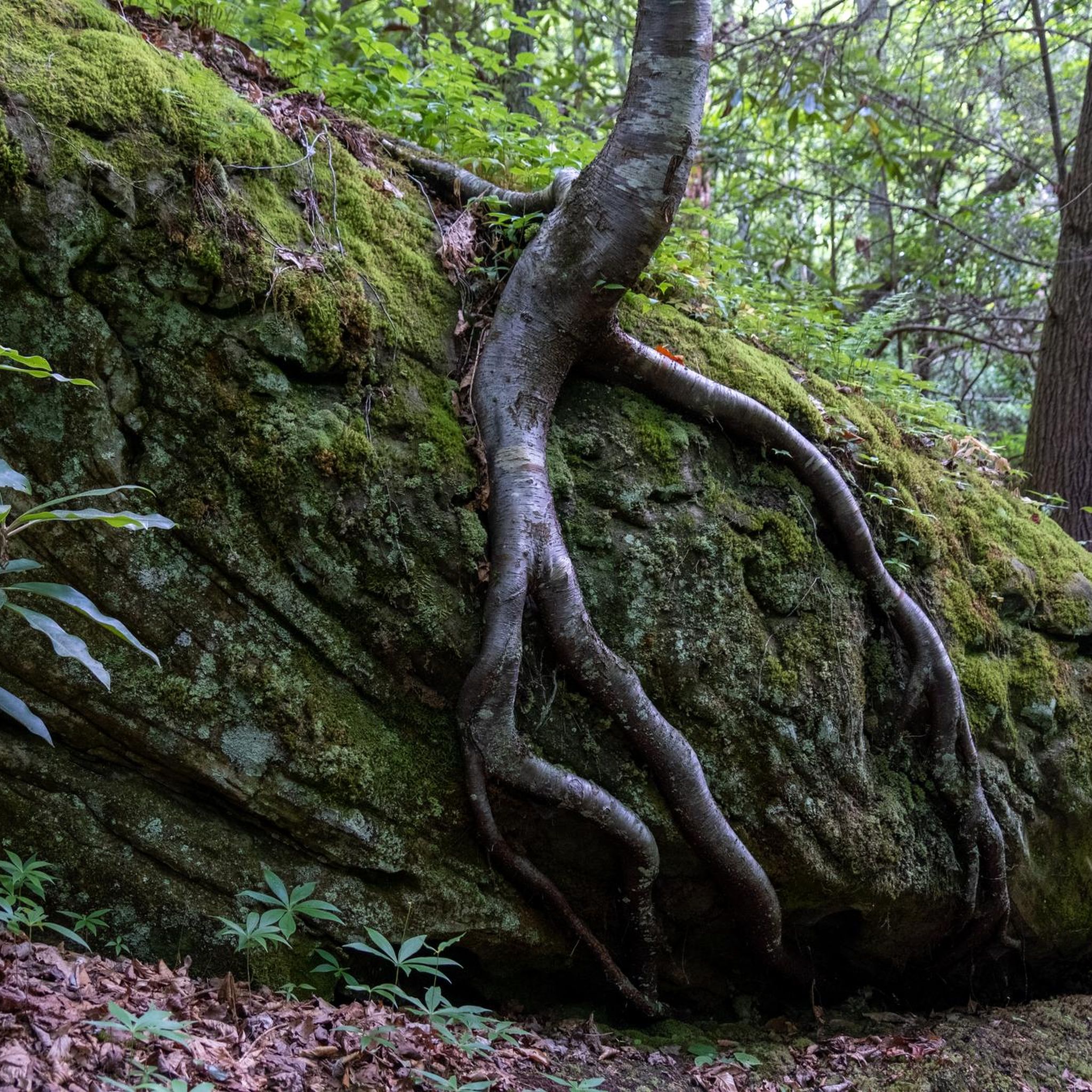
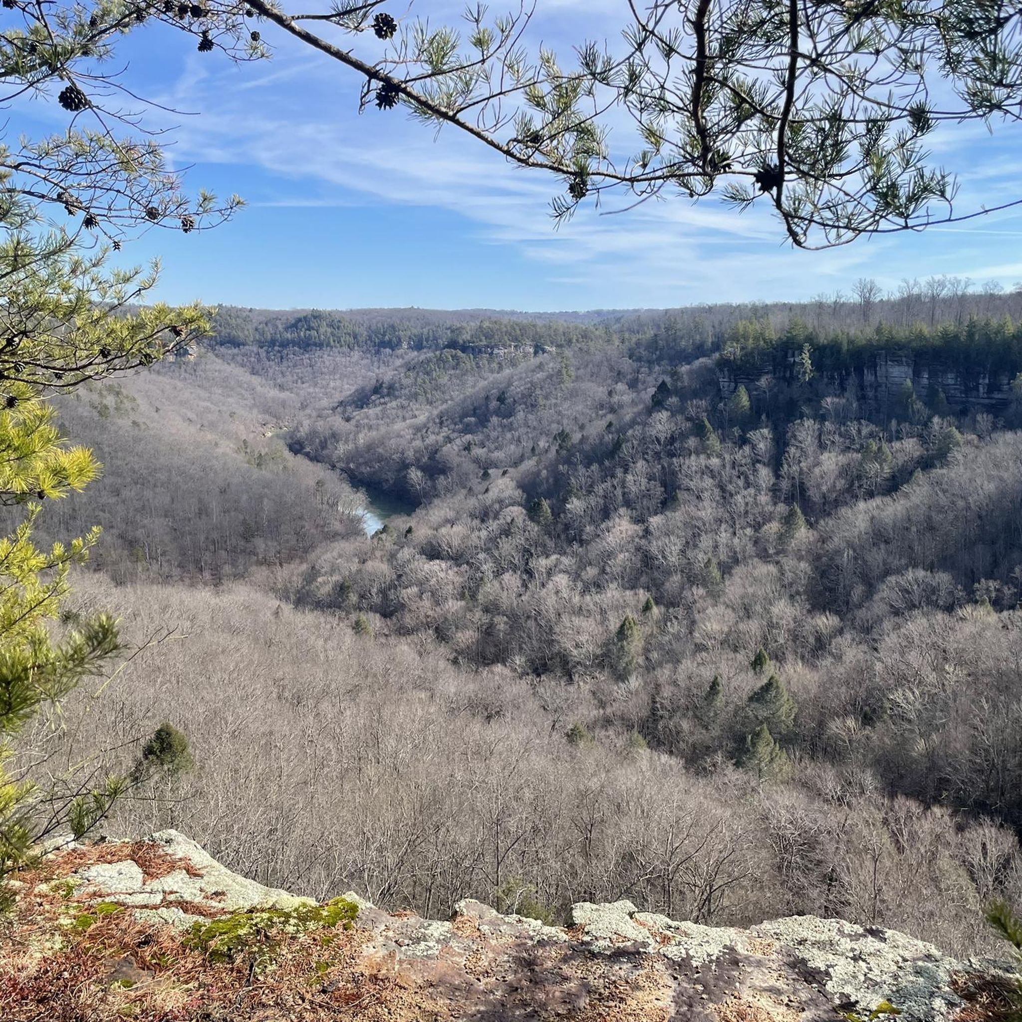
Tips from the Community

The historic bridge was built in 1911 and was used through 2000. In 2021 it succumbed to the flooding of Clear Creek, and today you can visit its ruins.
0
0
The John Muir Trail runs flat along the Cumberland River here between Leatherwood Ford and the Grand Gap. There is a dispersed camping site along the middle of the segment.
0
0
This rocky outcropping is warmed by the sun during the day and makes for a fantastic picnic spot with spectacular views over the Cumberland River and Angel Falls. You get more great views of the river as you descend the John Muir Trail just below the overlook.
0
0

The main campground in the Big South Fork National River and Recreation Area acts as a parking area and trailhead for a bunch of different trails and forest roads. The trail signage in Big South Fork is great, and it's easy to find your way back if you decide to deviate from your planned route. Some trails are rougher than others, but they are marked accordingly and intersect each other frequently.
0
0
The bridge is a truly remarkable formation that closely resembles the slender and graceful arch of a man-made bridge. This is right next to the parking area and easily accessible both from the trail and as a quick stop off the highway.
0
0
Hazard Cave is an epic open cavern with plenty of space to walk around inside and feel like you are in an underground amphitheater. There are some benches just under near the entrance. The trail is well marked, well maintained, and fairly easy.
0
0
Up on the ridgeline you get a view of the creek network and Pickett State Forest. This is one of the most exciting parts of the trail, and as you continue on the loop you will be treated to cliffs, caves, waterfalls, and the intricate network of creeks crisscrossing the park.
0
0
Slave Falls is a small but high waterfall which tumbles into the sandstone crescent below. You can access the fall from the north or the south side of the creek.
0
0
Frequently Asked Questions
How many running routes are available in Fentress County?
Fentress County offers a variety of running experiences with over 10 routes documented on komoot. These routes cater to different skill levels, from easy paths to more challenging, longer trails across the Cumberland Plateau.
Are there any easy or beginner-friendly jogging routes in Fentress County?
Yes, for those seeking an easier run, the Hazard Cave and Natural Bridge Trail Loop is an excellent option. This 3.7 km (2.3 miles) route is rated as easy and offers a pleasant experience through natural features.
Which running trails feature waterfalls or unique natural rock formations?
Fentress County is rich in natural beauty. You can experience impressive sandstone arches on the Twin Arches Loop Trail, a moderate 7.9 km (4.9 miles) route. For a more challenging run that also includes these arches and a waterfall, consider the 17.7 km (11.0 miles) Slave Falls and Twin Arches Loop. Additionally, the Colditz Cove State Natural Area is home to the stunning Northrup Falls, which plunges over 60 feet.
Are there any loop trails for running in Fentress County?
Absolutely! Many of the running routes in Fentress County are designed as loops, providing a varied experience without retracing your steps. Popular options include the 7.9 km (4.9 miles) Twin Arches Loop Trail, the 4.9 km (3.0 miles) Leatherwood Loop Trail, and the longer 12.0 km (7.5 miles) Hidden Passage Trail Loop.
What kind of terrain can I expect on running routes in Fentress County?
The terrain in Fentress County is quite diverse, characterized by rolling hills, dense forests, and tranquil creek beds, all part of the Cumberland Plateau. You'll find a mix of riverside paths and elevated routes, with some trails leading to impressive sandstone arches and scenic overlooks. Routes like the Grand Gap and John Muir Trail Loop offer challenging terrain through dense forests and along riverbeds.
Are there any family-friendly running options in the area?
While specific 'family-friendly' designations vary, many moderate and easy trails can be enjoyed by families. The Hazard Cave and Natural Bridge Trail Loop, at 3.7 km (2.3 miles) and rated easy, is a good choice for a shorter, less strenuous outing. Pickett CCC Memorial State Park also offers peaceful trails through quiet forests and tranquil lake views, suitable for a calm family run.
What are some longer, more challenging running routes for experienced runners?
For experienced runners seeking a challenge, Fentress County offers several difficult routes. The Grand Gap and John Muir Trail Loop is a substantial 25.0 km (15.5 miles) trail. Another demanding option is the 27.2 km (16.9 miles) Angel Falls overlook – Bandy Creek Campground loop from Scott State Forest, which features significant elevation changes.
Can I bring my dog on the running trails in Fentress County?
Many trails within the Big South Fork National River and Recreation Area, which encompasses several Fentress County routes, are generally dog-friendly, often requiring dogs to be on a leash. It's always best to check specific park regulations for the most current rules before heading out with your pet.
Are there any running routes that offer scenic viewpoints or overlooks?
Yes, several routes provide stunning views. The Twin Arches Loop Trail is known for its impressive sandstone arches and scenic overlooks. The expansive Big South Fork National River and Recreation Area, where many routes are located, boasts miles of trails leading to breathtaking overlooks and unique geological formations.
What is the best time of year to go running in Fentress County?
Fentress County's natural beauty can be enjoyed year-round, but spring and fall generally offer the most pleasant running conditions with milder temperatures and vibrant foliage. Summer can be warm and humid, while winter may bring colder temperatures and occasional snow, especially at higher elevations. Always check local weather conditions before your run.
Are there any running routes near the Wolf River?
Yes, the region's landscape is intersected by several rivers, including the Wolf River. The Sgt. Alvin C. York State Historic Park, located near the Wolf River, offers hiking trails that provide scenic views and opportunities to run alongside the river.
How long does it typically take to complete a running route in Fentress County?
The duration varies significantly depending on the route's length and difficulty. For example, the moderate 4.9 km (3.0 miles) Leatherwood Loop Trail can be completed in about 41 minutes, while the difficult 25.0 km (15.5 miles) Grand Gap and John Muir Trail Loop typically takes around 3 hours and 44 minutes.
Most popular routes in Fentress County

Get inspired with the komoot mobile app


Didn’t find what you were looking for?
Check out more Running Trails & Routes throughout Fentress County below and find the perfect route in your destination.
Explore more
Browse the best Running Trails & Routes in other regions.
