The best walks and hikes in Iowa County
4.8
(25)
329
hikers
28
hikes
Hikes in Iowa County explore the rolling hills and deep valleys of Wisconsin's Driftless Area. The region is characterized by sandstone outcroppings, oak and hickory forests, and several lakes. Many of the best hiking trails in Iowa County are located within Governor Dodge State Park and Blue Mound State Park, offering routes through varied landscapes.
Best hiking trails in Iowa County
- The most popular hiking route is Stephens Falls – Wilson Springhouse loop from Ridgeway, a 3.0 mile (4.9 km) trail that takes about 1 hour 20 minutes to complete. This easy hike leads to Stephens' Falls within Governor Dodge State Park.
- Another top favourite among local hiking enthusiasts is Twin Valley Cave – Twin Valley Lake loop from Ridgeway, a moderate 7.8 mile (12.5 km) path. The route circles Twin Valley Lake and passes sandstone formations.
- Local hiking enthusiasts also love the East Tower – West Tower (Sunset) loop from Blue Mounds, a 2.3 mile (3.7 km) trail leading through Blue Mound State Park, often completed in about 1 hour.
- Hiking in Iowa County is defined by forested hills, sandstone bluffs, and lakeside paths. The trail network includes more than 25 routes, with options for different ability levels.
- The routes in Iowa County are highly rated by the komoot community with an average score of 4.8 stars from more than 15 reviews. More than 250 hikers have used komoot to explore Iowa County's varied terrain.
Last updated: August 18, 2026
5.0
(3)
14
hikers
5.32km
01:29
100m
100m
The John Minix Trail and Flint Rock Nature Trail Loop offers a delightful journey through Blue Mound State Park, showcasing diverse ecosystems and unique geological features. You'll wander through shaded hardwood forests on the John Minix Trail, then transition to the Flint Rock Nature Trail where scattered flint rock boulders and interpretive signs tell the story of the area's geology. The highlight is undoubtedly the observation tower, which provides extensive views of the Driftless Area and the surrounding region, making this 3.3-mile (5.3 km) hike with 328 feet (100 metres) of elevation gain a scenic adventure.
This easy hike, which typically takes around 1 hour and 28 minutes, is largely accessible, though the Flint Rock Nature Trail does include a steeper section with stairs near the western lookout tower that adds a moderate challenge. The trail is generally wide and well-drained, but be aware that some sections can be wet and muddy after snowmelt in early spring. Autumn is a particularly popular time to visit, as the hardwood forests put on a vibrant display of fall colors.
What makes this loop truly stand out is its combination of natural beauty and educational value. Situated atop the highest point in southern Wisconsin, Blue Mound State Park offers panoramic vistas of the Wisconsin River Valley. The Flint Rock Nature Trail provides a self-guided experience with insights into the unique geology, while the John Minix Trail is named after a previous park owner, adding a touch of local history to your outdoor exploration.
5.0
(1)
12
hikers
2.63km
00:48
110m
60m
The Pine Cliff Trail offers a delightful journey through a heavily wooded landscape, providing scenic views of Cox Hollow Lake and showcasing impressive rock formations. This easy 1.6-mile (2.6 km) hike, with its 359 feet (109 metres) of elevation gain, is a perfect choice for a quick nature escape, typically taking around 47 minutes to complete. You'll traverse a singletrack path, encountering rocky sections and even some steep stairs, making for a varied and engaging experience.
Located within Governor Dodge State Park, the trail is easily accessible for a day trip. Dogs are permitted to join you on your adventure, as long as they remain on a leash. While specific parking details aren't highlighted, arriving earlier in the day is often a good strategy for state park trails, especially during peak seasons, to ensure a spot and a more tranquil experience.
This route is particularly notable for its unique "southern pine relict community," where all three native Wisconsin pine species coexist, a rare sight in the state's Driftless Area. The trail also features a fascinating rock shelter and offers stunning vistas, particularly when autumn colors are at their peak. It's a great way to experience Wisconsin's distinctive geology and diverse forest ecosystems.

Sign up for free
5.0
(1)
4
hikers
7.50km
02:03
120m
120m
The Governor Dodge Horse Trail offers a captivating journey through Wisconsin's distinctive Driftless Area, a landscape untouched by glaciers. You'll experience a rich tapestry of scenery, from restored prairies and lush forests to open meadows and wooded ridges, often with views of Twin Valley Lake. The terrain features continuous rolling hills and rocky outcroppings, providing a dynamic and engaging experience for hikers.
This moderate 4.7-mile (7.5 km) route involves 397 feet (121 metres) of elevation gain and typically takes about 2 hours and 3 minutes to complete. The trail is generally open from May 1 to November 15, and dogs are permitted on a leash. Be aware that some sections can be unpaved and muddy, so appropriate footwear is recommended. Always check the state park's website for current conditions and permit requirements.
Governor Dodge State Park is one of Wisconsin's largest, spanning 5,270 acres of steep hills and deep valleys. The extensive network of horse trails, including this segment, provides access to some of the park's most scenic and remote areas. This trail is a great way to explore the unique topography and natural features of the Driftless Area, offering a rewarding hike for those seeking diverse landscapes.
3.18km
00:51
40m
40m
The Twin Valley Cave via Meadow Valley and Cave Trail offers a delightful blend of Wisconsin's natural beauty and unique geology, making it a popular choice for a quick outdoor escape. This easy 2.0-mile (3.2 km) hike, with a modest 117 feet (36 metres) of elevation gain, takes approximately 51 minutes to complete, guiding you through diverse terrain from mowed paths to wooded ridges. You'll experience picturesque views of Twin Valley Lake and the surrounding bluffs, with opportunities to explore fascinating rock outcroppings and geological formations.
To plan your visit, head to Governor Dodge State Park, where the trail is easily accessible from the Cox Hollow Picnic Area and Trailhead, offering ample parking. While generally open year-round, it's wise to check the park's official website for any specific seasonal advisories or conditions before you go. Starting your hike earlier in the morning can help you avoid crowds and enjoy the tranquility of the Driftless Region.
This trail is a highlight within the unglaciated Driftless Region, an area untouched by glaciers, which gives it a distinctive character with its unique bluffs, ravines, and valleys. The route winds through a mix of restored prairies, lush forests, and open meadows, showcasing the varied ecosystems of the park. It's an excellent option for those seeking family-friendly trails or a gentle introduction to the area's natural wonders.
1.15km
00:19
20m
10m
The Goldmine Trail offers a delightful, easy stroll through a natural setting, perfect for a quick refresh. This singletrack path is generally flat, providing a gentle experience for all ages and fitness levels. It's the kind of trail where you can enjoy a peaceful moment outdoors without any demanding climbs or challenging terrain.
Planning your visit to the Goldmine Trail is simple; its 0.7-mile (1.1 km) distance, 61 feet (19 metres) of elevation gain, and 18-minute estimated duration make it an ideal spontaneous outing. There are no complex logistics like permits or seasonal closures to worry about, so you can easily fit it into your schedule for a brief, pleasant walk.
This easy hiking trail is a fantastic option for those new to hiking or families with small children, offering a taste of the outdoors without commitment. It serves as a great introduction to local trails, providing a serene environment for a short, accessible adventure in the Wisconsin landscape.
80.4km
20:32
260m
310m
The Military Ridge State Trail offers a unique journey through Wisconsin's diverse landscapes, tracing an old military route and railway line. As you hike, you'll traverse agricultural lands, dense woods, and vibrant wetlands, with observation platforms near Riley providing excellent opportunities for wildlife spotting. The trail's crushed limestone surface generally offers a smooth path, but be prepared for some technically challenging spots with ruts and loose gravel, particularly between Dodgeville and Mount Horeb.
Planning your visit means preparing for a long haul; this difficult 49.9-mile (80.4 km) route, with 857 feet (261 metres) of elevation gain, is estimated to take around 20 hours and 31 minutes. The trail is multi-use, so you'll share it with cyclists and others. Access points are available in towns like Verona and Mount Horeb, and it's wise to check conditions, especially if you plan to access the steep grades leading to Governor Dodge or Blue Mound State Parks.
This trail is notable for its historical significance, following an 1855 military route and later a railway, and its connectivity, linking Dodgeville and Madison. It also runs along the southern borders of Governor Dodge and Blue Mound State Parks, offering picturesque views and access to the highest point in southern Wisconsin. The route is a fantastic way to experience the unique driftless landscape, untouched by glaciers, and observe the rich wildlife of its prairies and wetlands.
4.7
(6)
64
hikers
4.88km
01:20
70m
70m
Easy hike. Great for any fitness level. Easily-accessible paths. Suitable for all skill levels.
4.7
(6)
66
hikers
7.31km
02:00
110m
110m
Moderate hike. Good fitness required. Easily-accessible paths. Suitable for all skill levels.
5.0
(1)
21
hikers
14.0km
03:50
220m
220m
Moderate hike. Good fitness required. Easily-accessible paths. Suitable for all skill levels.
19
hikers
3.57km
01:00
80m
80m
Easy hike. Great for any fitness level. Easily-accessible paths. Suitable for all skill levels.
Get access to more routes and recommendations from other explorers.
Sign up for free
Already have an account?
Our route recommendations are based on thousands of hikes, rides, and runs completed by other people on komoot.
Start today with a free account
Your next adventure awaits.
Login or Signup




Tips from the Community

These are neat structures built around a spring and acted like early refrigeration. Not sure how many are in the park grounds, but this is one of two I found.
2
0
It's parallel parking next to the two track trail that leads to more hiking/biking/horseback riding. When the falls parking is to full, you can park here and do a 2.5 mile look to see the falls and see lots of cool rock features from the bottom of the ravine.
2
0
Nice beach, swimming buildings, near a concession boat dock area
1
0
Nice starting point for your adventures! Concession stand, big parking lot, and trails going in all directions!
2
0
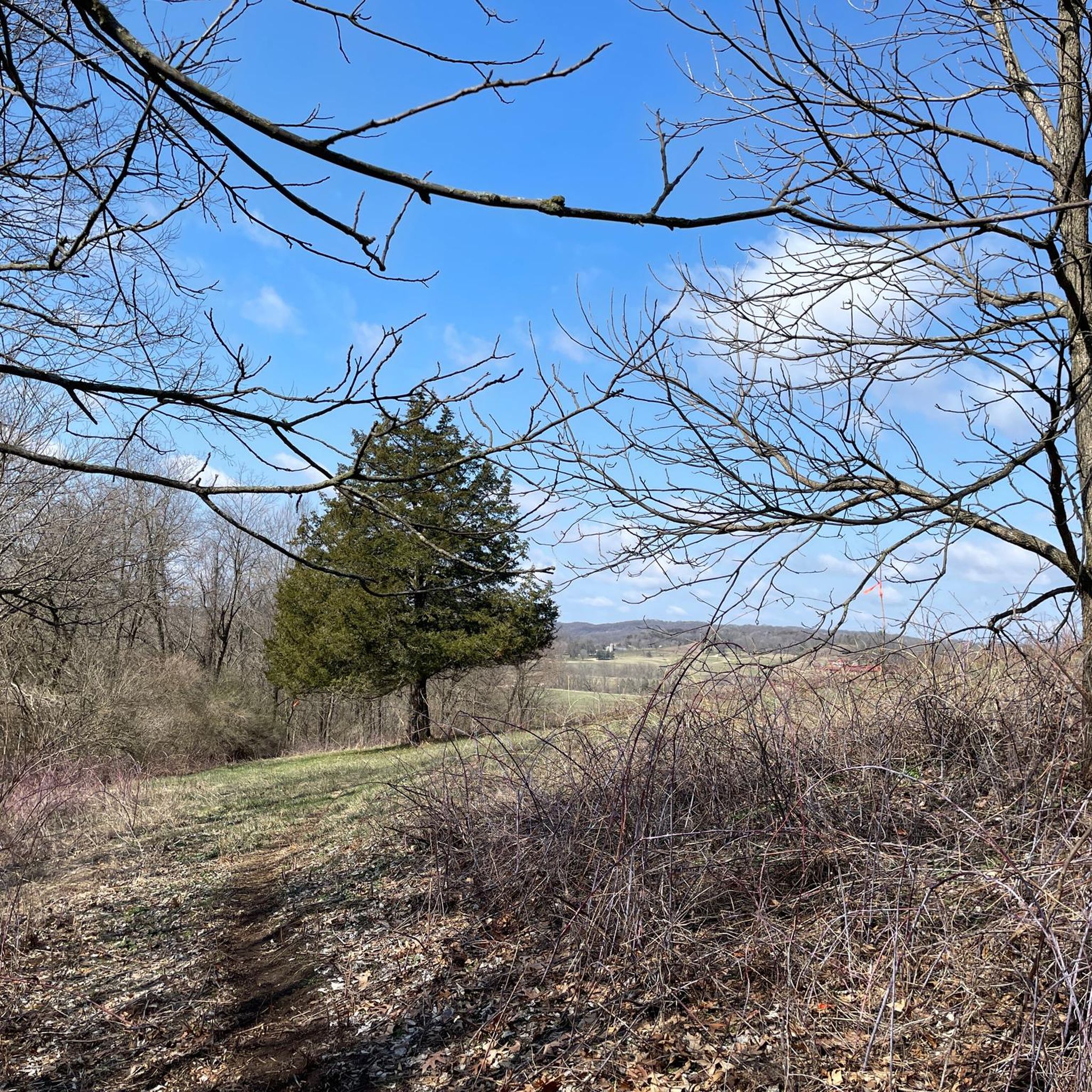
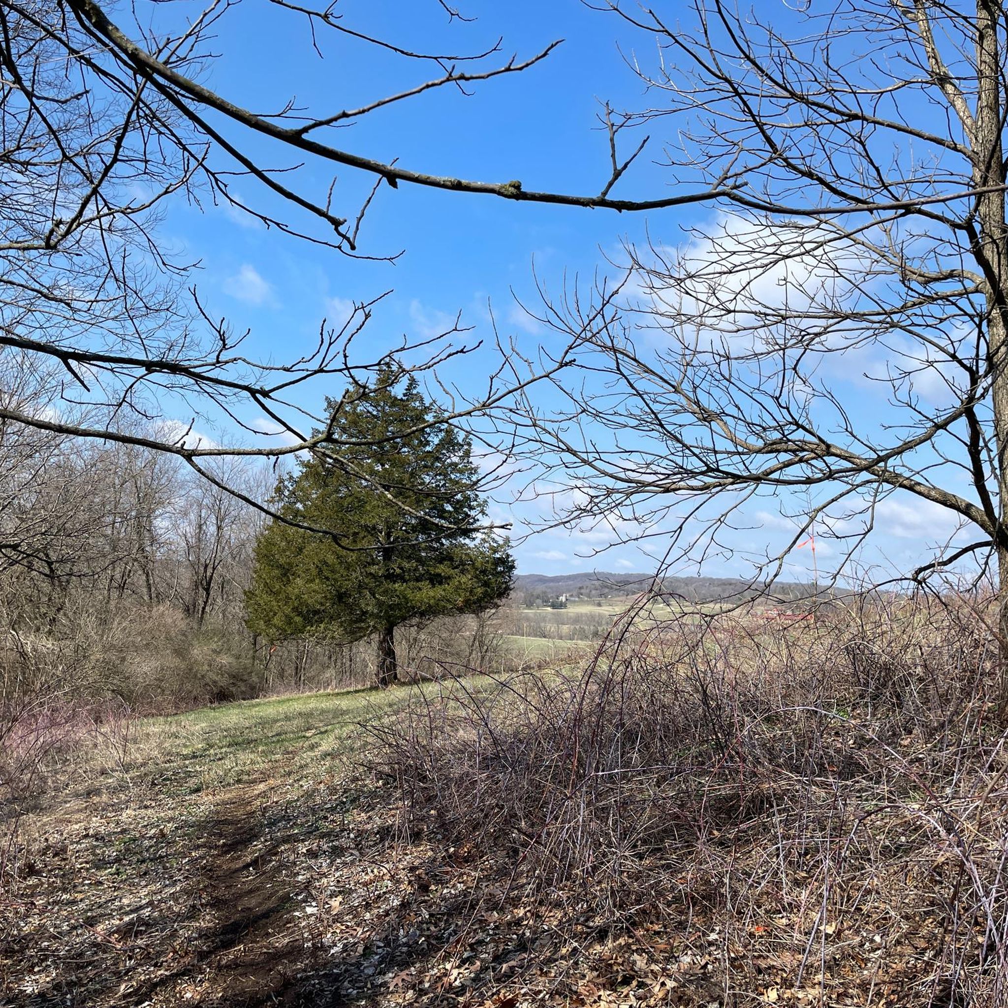
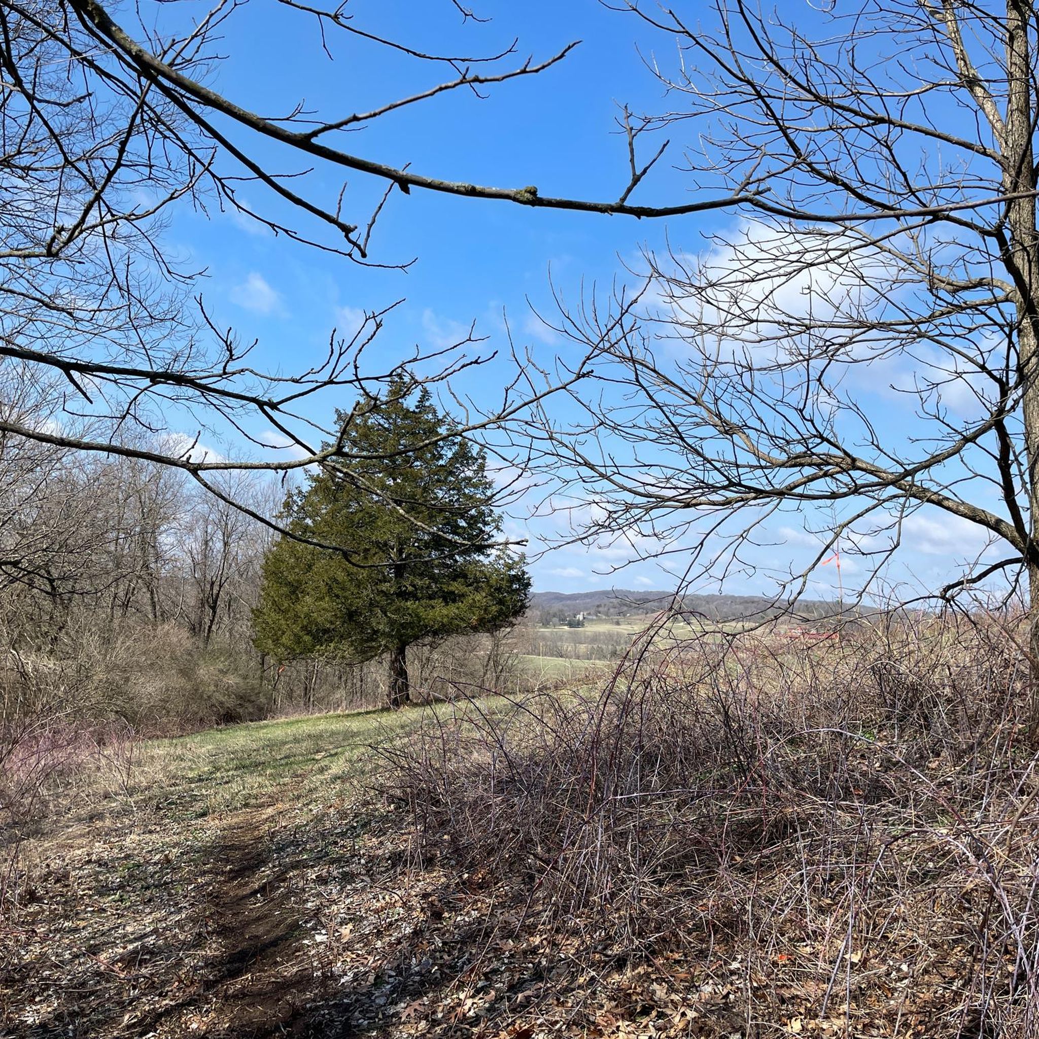
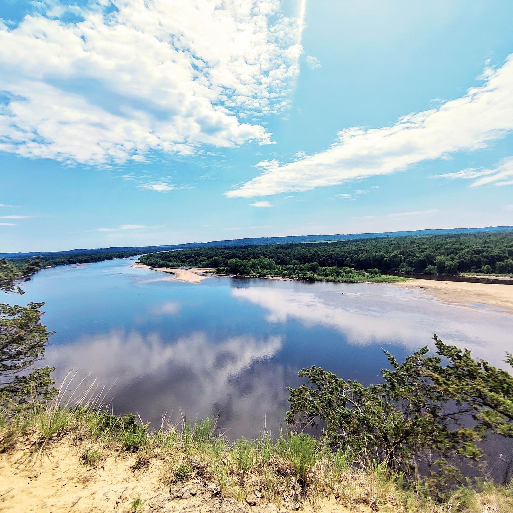
A little hazy on my day there, but very easy to get to and a great view! Even a sidewalk to get there so everyone should be able to enjoy!
1
0
I thought maybe these were fire towers, which can be a little nerve racking to climb, they were nice wood structures that felt solid and I didn't have to see through a bunch of mesh steps so it didn't trigger any fear of heights.
2
0
I thought maybe these were fire towers, which can be a little nerve racking to climb, they were nice wood structures that felt solid and I didn't have to see through a bunch of mesh steps so it didn't trigger any fear of heights.
1
0
A great trailhead with a meet up building with bathrooms, pool and splash pad, and the trailheads for both mountain biking and hiking
1
0
Frequently Asked Questions
Are there any waterfall hikes in Iowa County?
Yes, the area around Stephens' Falls is a highlight for many hikers. The Stephens Falls loop from Ridgeway is a short, easy walk of about 1.2 miles (2 km) that takes you right to this picturesque waterfall within Governor Dodge State Park.
What are some good hikes for families with children?
Iowa County has many family-friendly options. For an easy walk with great views, consider the East Tower – West Tower (Sunset) loop from Blue Mounds. It's about 2.3 miles (3.7 km) and offers spectacular panoramic vistas from the highest point in southern Wisconsin, which is always a hit with kids.
Can I bring my dog on the hiking trails?
Dogs are generally welcome in Wisconsin State Parks, including Governor Dodge and Blue Mound, but they must be on a leash no longer than 8 feet at all times. They are permitted on most trails but are not allowed in picnic areas, on beaches, or in buildings. Always check specific park regulations before you go.
Are there any long-distance or backpacking trails in the area?
For a longer day hike, the Fox Hollow Beach – Meadow Valley Trailhead loop from Ridgeway is a moderate 6.9-mile (11.1 km) route within Governor Dodge State Park. For a multi-day experience, the 40-mile Military Ridge State Trail passes through the county, offering a crushed limestone path suitable for hiking and backpacking between communities.
Where can I find the most scenic views in Iowa County?
For breathtaking panoramic views, head to Blue Mound State Park. It sits atop the highest point in southern Wisconsin, providing spectacular vistas of the surrounding Driftless Area landscape. The trails here are known for their scenic overlooks.
Are there any circular or loop hikes available?
Yes, many of the best trails in Iowa County are loops, allowing you to start and end in the same place without retracing your steps. A great example is the Cox Hollow Lake loop from Ridgeway, a 2-mile (3.2 km) trail that circles the serene Cox Hollow Lake in Governor Dodge State Park.
How many hiking trails are there in Iowa County?
You can find over 25 hiking routes throughout Iowa County. These range from short, easy walks to more challenging moderate trails, exploring the region's forests, sandstone bluffs, and lakesides.
What do other hikers think of the trails in Iowa County?
The trails in Iowa County are highly regarded by the komoot community, with an average rating of 4.8 out of 5 stars. Hikers often praise the well-maintained paths, the beautiful scenery of the Driftless Area, and the variety of landscapes, from lakeside loops to forested hills.
Do I need to pay to hike in the state parks?
Yes, a vehicle admission sticker is required for entry into Wisconsin State Parks like Governor Dodge and Blue Mound. You can typically purchase a daily or annual pass at the park entrance. For the most current fee information, it's best to check the official park websites, such as the one for Governor Dodge State Park.
What kind of terrain should I expect on the trails?
The terrain is typical of Wisconsin's Driftless Area, meaning you'll encounter rolling hills, some steep climbs up bluffs, and deep valleys. Trails wind through oak and hickory forests, pass by sandstone outcroppings, and follow the shores of lakes. Most paths are natural surface, though some multi-use trails like the Military Ridge State Trail have a crushed limestone surface.
Are there any easy, flat trails for a gentle walk?
While the region is known for its hills, the Military Ridge State Trail offers a relatively flat and gentle hiking experience. It's a former railway line with a crushed limestone surface, making it an accessible option for those looking to avoid steep climbs. The Twin Valley Lake – Twin Valley Cave loop from Ridgeway is another relatively gentle option with minimal elevation gain.
Most popular attractions in Iowa County

Get inspired with the komoot mobile app


Didn’t find what you were looking for?
Check out more Hikes throughout Iowa County below and find the perfect route in your destination.
Explore more
Browse the best Hikes in other regions.
