The best road cycling routes in Berkeley County
4.0
(4)
104
riders
36
rides
Road cycling routes in Berkeley County traverse a landscape characterized by rolling hills, extensive woodlands, and agricultural areas. The region features a network of backroads and dedicated paths, including sections of the Route 9 bike path. The terrain offers varied elevation changes suitable for different skill levels, with the Potomac River forming part of its northern border.
Best road cycling routes in Berkeley County
- The most popular road cycling route is Town of Hancock loop from Fort Frederick State Park…
Last updated: June 28, 2026
3.0
(1)
5
riders
40.3km
01:39
240m
240m
Easy road ride. Great for any fitness level. Mostly well-paved surfaces and easy to ride.
9
riders
34.2km
01:55
210m
210m
Easy road ride. Great for any fitness level. Mostly well-paved surfaces and easy to ride.

Sign up for free
9
riders
25.6km
01:18
200m
200m
Moderate road ride. Great for any fitness level. Some segments of this route may be unpaved and difficult to ride.
3
riders
90.9km
04:21
1,160m
1,160m
Hard road ride. Very good fitness required. Mostly well-paved surfaces and easy to ride.
2
riders
21.1km
01:12
190m
190m
Easy road ride. Great for any fitness level. Mostly well-paved surfaces and easy to ride.
2
riders
38.8km
01:54
250m
250m
Easy road ride. Great for any fitness level. Mostly well-paved surfaces and easy to ride.
3
riders
28.3km
01:13
240m
240m
Easy road ride. Great for any fitness level. Mostly well-paved surfaces and easy to ride.
3
riders
48.0km
02:18
430m
430m
Moderate road ride. Good fitness required. Some segments of this route may be unpaved and difficult to ride.
Get access to more routes and recommendations from other explorers.
Sign up for free
Already have an account?
Our route recommendations are based on thousands of hikes, rides, and runs completed by other people on komoot.
Start today with a free account
Your next adventure awaits.
Login or Signup



Tips from the Community

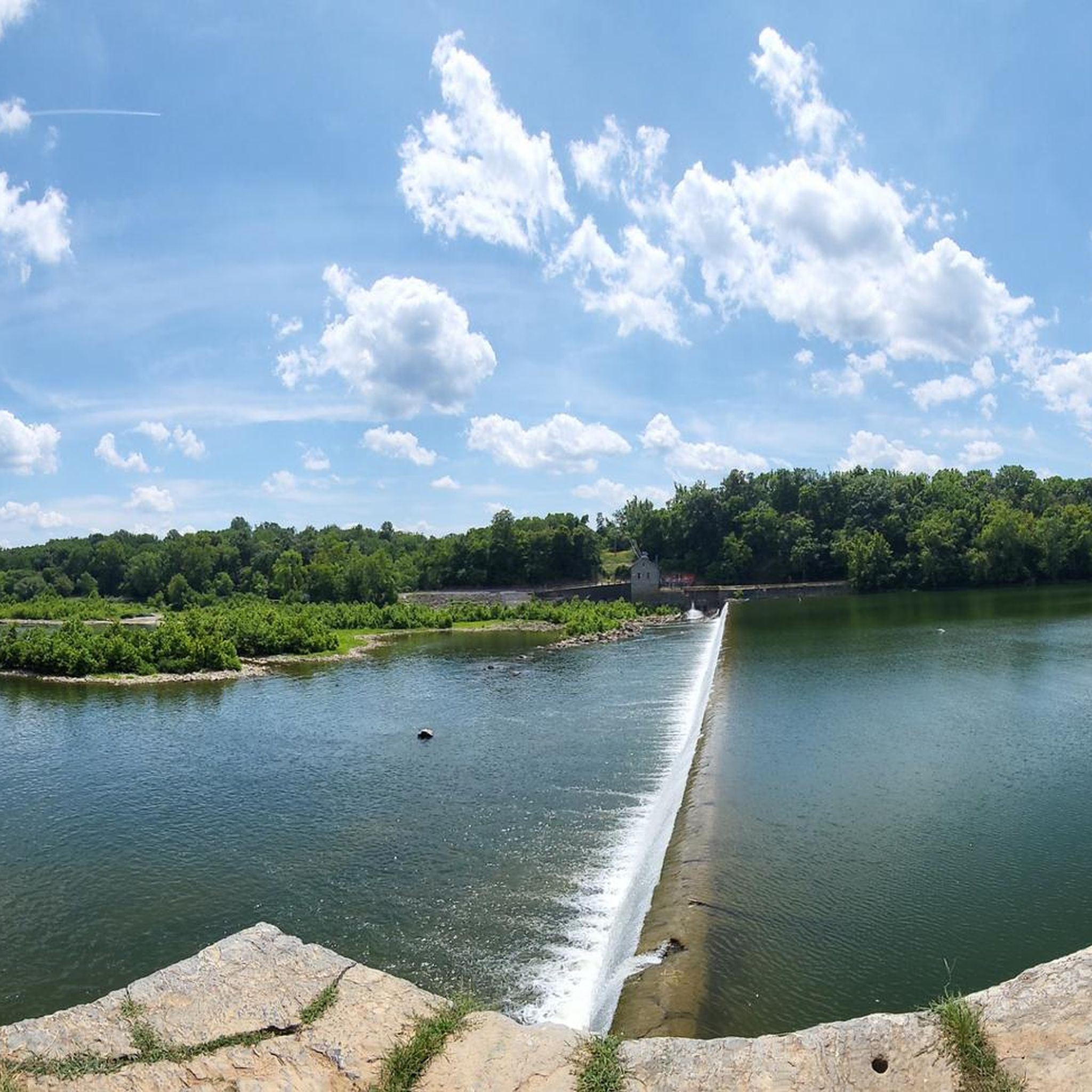
The Antietam Aqueduct was built in 1834 to carry canal boats over Antietam Creek. It is over 140 feet long and is one of many such aqueducts along the C&O Canal.
0
0

The Antietam Aqueduct, located at mile 69.4 of the C&O Canal Towpath, is a three-arch stone aqueduct that once carried the canal over Antietam Creek. Built in 1834, it is constructed from limestone quarried nearby and remains one of the best-preserved aqueducts along the canal. During the Civil War, it was near the site of Confederate troop movements before and after the Battle of Antietam in 1862. Though it suffered some damage over the years, it has been fully restored and now serves as a scenic and historic stop along the towpath, offering great river views and picnic spots.
0
0
Shepherdstown, West Virginia, is the oldest town in the state (founded in 1762) and has a fun, vibrant college-town atmosphere. Located along the Potomac River at mile 72 of the C&O Canal Towpath, it is home to Shepherd University, giving it a lively college-town vibe with great cafés, restaurants, and shops. Rich in Civil War history, it played a role in the aftermath of the Battle of Antietam, as wounded soldiers were treated here. With its historic district, riverside views, and plenty of accommodations, Shepherdstown is a perfect overnight stop for cyclists C&O Canal Towpath or to just visit when exploring the area.
0
0

The Weverton-Roxbury Rail Trail is a picturesque segment of the South Mountain Recreation Area. The reserve features an unspoiled trail that offers a glimpse of the remnants of historic bridges, such as the Baltimore & Ohio Railroad Bridge that crosses over Antietam Creek. It is an idyllic setting for a scenic ride in this storied region.
0
0

Location of notable Civil War battle at Shepherdstown. There are markers and tablets along River Road to commemorate the battle.
1
0
The Route 9 Bike Path is a fully paved bike trail that runs from Martinsburg to Martinsburg to Charles Town. Apart from several street crossings, the path is traffic free and a great way to get through the busy area near Martinsburg.
0
0

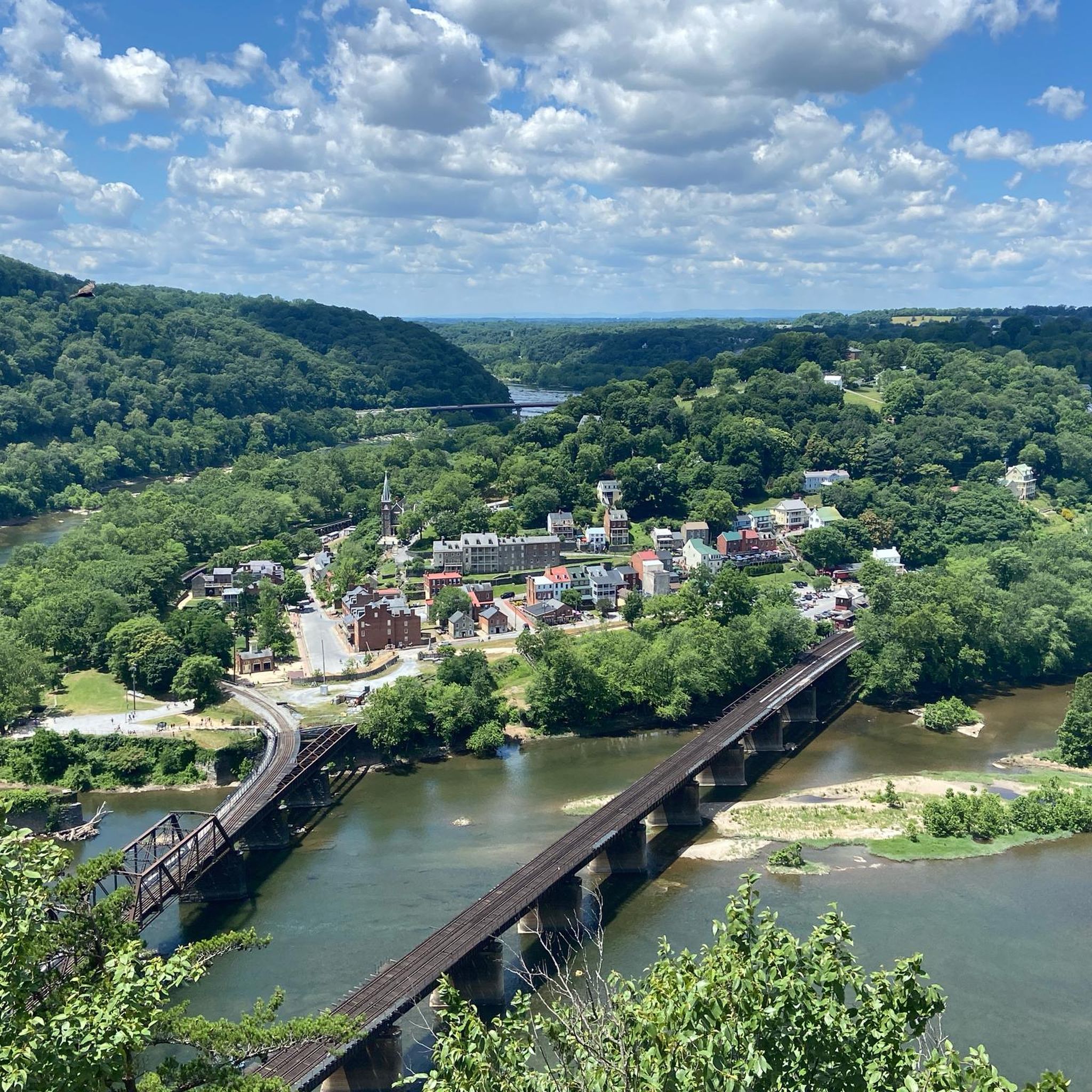
The peaceful Appalachian foothills and fields here are far removed from their bloody history. The Antietam National Battlefield commemorates a Civil War battle in 1862. You can explore the beautiful area around the Potomac River on a network of paths. There's a visitor centre, field hospital museum, national military cemetery and Burneside's Bridge.
0
0
Sharpsburg, is a small town steeped in history. You can visit the Antietam National Battlefield, wander through the historic town centre and stop for an ice cream. It's a great place to stop for refreshments on a bike ride.
0
0
Frequently Asked Questions
How many road cycling routes are available in Berkeley County?
There are nearly 40 road cycling routes available in Berkeley County on komoot, offering a diverse range of experiences. Most routes are rated as easy or moderate, with a few more challenging options for experienced cyclists.
What kind of terrain can I expect on road cycling routes in Berkeley County?
Road cycling in Berkeley County features a landscape of rolling hills, extensive woodlands, and agricultural areas. You'll find varied elevation changes, from relatively flat sections near the Potomac River to more significant climbs on routes like the Antietam Aqueduct – Antietam Aqueduct loop from Shepherdstown, which includes over 400 meters of elevation gain.
Are there any dedicated bike paths for road cycling in Berkeley County?
Yes, a significant highlight for road cyclists is the Route 9 bike path, which offers over 10 miles of paved multi-use trail with rolling hills. You can explore sections of it on routes such as the Route 9 Bike Path – Plenty of Parking loop from Douglas Grove.
What are some scenic viewpoints or natural features I can see while cycling?
Many routes offer views of the Potomac River, especially those near the county's northern border. The region is characterized by working farms and woodlands, providing a scenic backdrop. While not directly on road cycling routes, areas like Yankauer Nature Preserve offer bluffs overlooking the Potomac River, and Sleepy Creek Wildlife Management Area showcases vast natural beauty.
Are there family-friendly road cycling routes in Berkeley County?
Yes, many of the routes are suitable for families, particularly those rated as easy. The dedicated Route 9 bike path, for instance, offers a paved surface and manageable terrain. Routes like the Town of Hancock loop from Fort Frederick State Park are relatively flat and shorter, making them good options for a family outing.
Where can I find parking for road cycling routes?
Parking areas are available at various points along popular routes. For example, the Route 9 bike path has access parking at locations like Charles Town Road and Leetown Road. Routes like the Route 9 Bike Path – Plenty of Parking loop from Douglas Grove specifically highlight convenient parking options.
What is the best time of year for road cycling in Berkeley County?
Berkeley County offers pleasant cycling conditions through much of the year. Spring and fall generally provide the most comfortable temperatures and beautiful scenery with blooming wildflowers or vibrant foliage. Summer can be warm, but early mornings or late afternoons are often ideal. Winter cycling is possible, but riders should be prepared for colder temperatures and potential icy patches.
Are there any longer, more challenging road cycling routes for experienced riders?
For those seeking a longer challenge, the Shepherdstown – Shepherdstown Battlefield loop from Martinsburg covers nearly 67 kilometers with over 500 meters of elevation gain, offering a moderate difficulty ride. Another option is the Antietam Aqueduct – Antietam Aqueduct loop from Shepherdstown, which is almost 48 kilometers long with significant climbing.
What do other cyclists say about road cycling in Berkeley County?
The road cycling routes in Berkeley County are highly rated by the komoot community, with an average score of 4.0 stars. Cyclists often praise the varied terrain, scenic backroads, and the opportunity to explore the region's natural beauty and historic areas, such as those found on the Shepherdstown – Shepherdstown Battlefield loop from Shepherdstown.
Can I find circular road cycling routes in the area?
Yes, many of the road cycling routes in Berkeley County are designed as loops, allowing you to start and finish at the same point. Examples include the Roadbike loop from Williamsport and the Roadbike loop from Gerrardstown, both offering convenient circular journeys through varied landscapes.
Are there any historical sites or landmarks accessible by road bike?
Yes, several routes pass by or near historical areas. For instance, the Shepherdstown – Shepherdstown Battlefield loop from Bardane takes you through the vicinity of the Shepherdstown Battlefield, offering a chance to combine cycling with a glimpse into local history.
Most popular routes in Berkeley County

Get inspired with the komoot mobile app


Didn’t find what you were looking for?
Check out more Road cycling routes throughout Berkeley County below and find the perfect route in your destination.
Explore more
Browse the best Road cycling routes in other regions.
