The best road cycling routes around Stokkelandsvatnet
4.7
(14)
2,136
riders
85
rides
Road cycling around Stokkelandsvatnet features accessible routes with varied landscapes in the Rogaland region of Norway. The terrain is generally gentle, characterized by low elevation gains, making it suitable for a range of fitness levels. Cyclists can expect mostly paved surfaces, passing through agricultural areas, wetlands, and forested sections. The region also incorporates historical elements, such as parts of the former Ålgårdsbanen railway line, into its cycling paths.
Best road cycling routes around Stokkelandsvatnet
- The most popular road cycling route…
Last updated: May 17, 2026
39
riders
94.6km
04:05
700m
700m
Moderate road ride. Good fitness required. Mostly well-paved surfaces and easy to ride.
39
riders
50.7km
02:21
400m
400m
Moderate road ride. Good fitness required. Mostly well-paved surfaces and easy to ride.

Sign up for free
34
riders
48.0km
02:13
370m
370m
Moderate road ride. Good fitness required. Some segments of this route may be unpaved and difficult to ride.
7
riders
41.9km
01:59
390m
390m
Moderate road ride. Good fitness required. Mostly well-paved surfaces and easy to ride.
5.0
(1)
42
riders
52.3km
02:24
590m
580m
Moderate road ride. Good fitness required. Mostly well-paved surfaces and easy to ride.
Get access to more routes and recommendations from other explorers.
Sign up for free
Already have an account?
Our route recommendations are based on thousands of hikes, rides, and runs completed by other people on komoot.
Start today with a free account
Your next adventure awaits.
Login or Signup
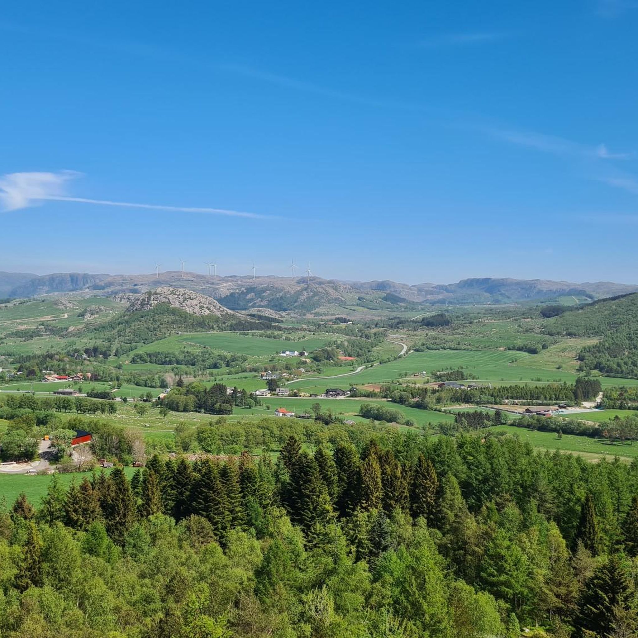
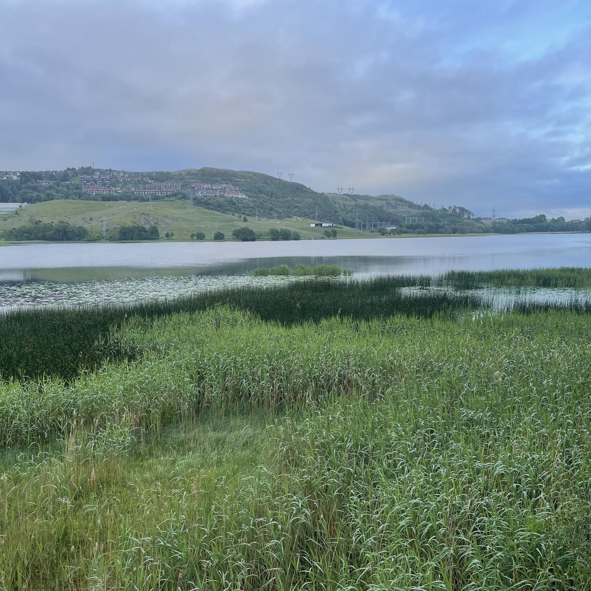
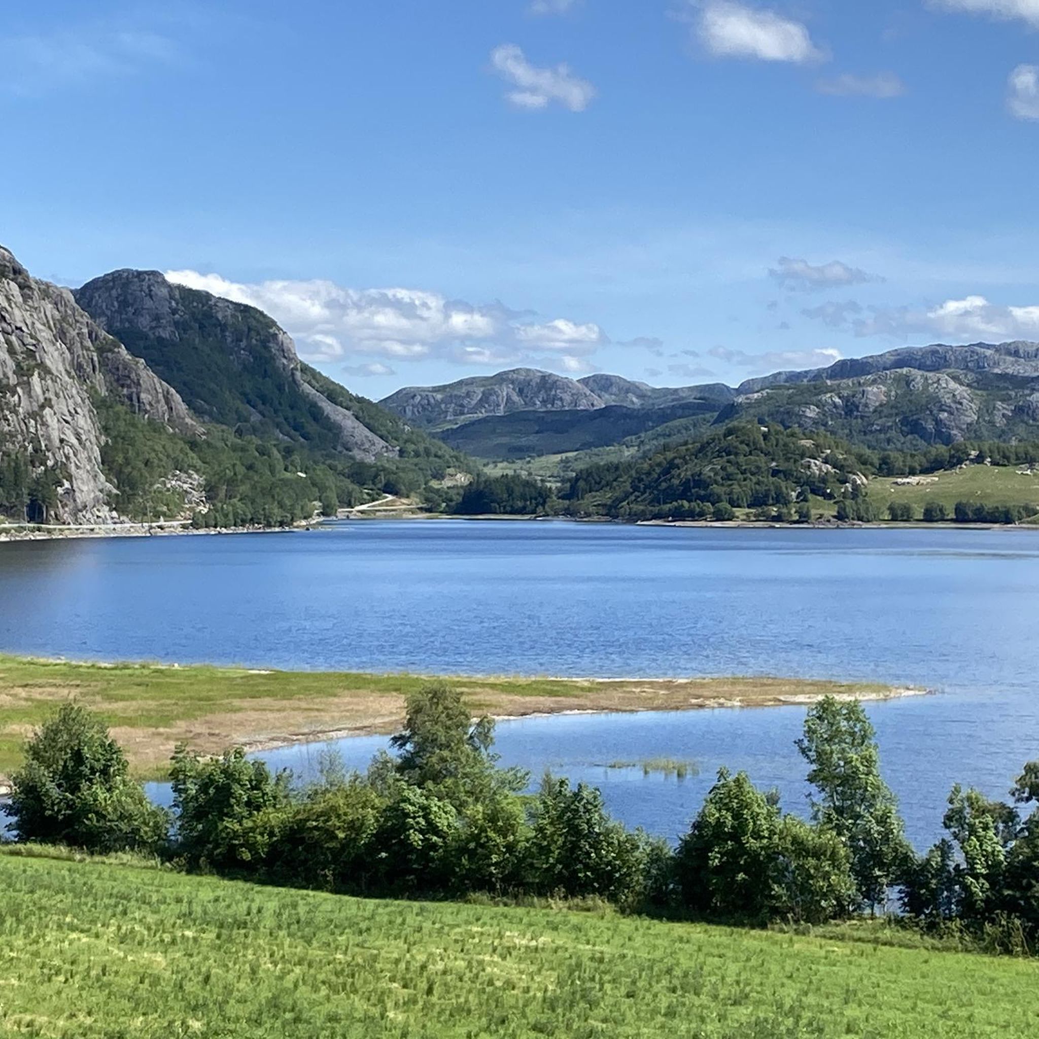
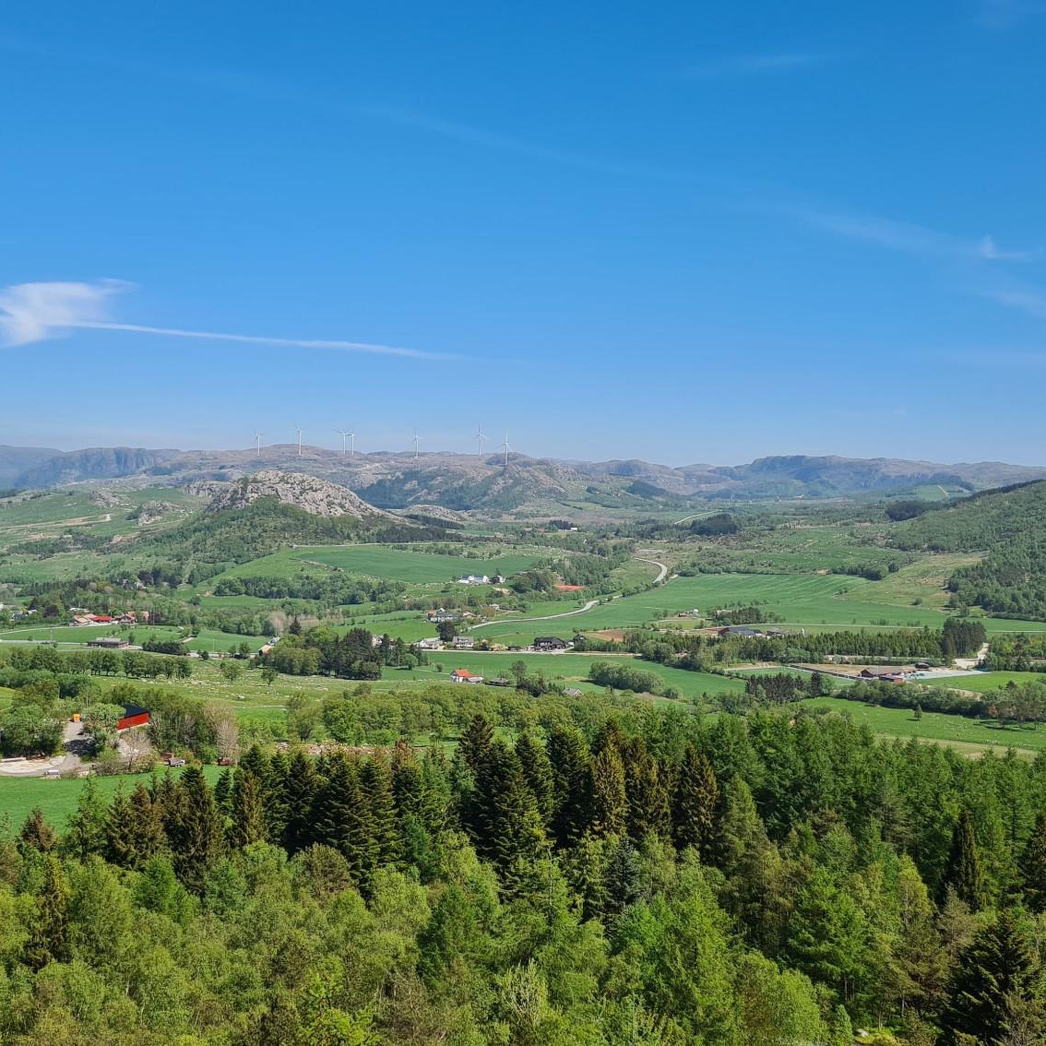
Tips from the Community

Stokkelandsvatnet is a lake located in Ganddal, Sandnes. The loop the water shore is about 4 kilometers long on a flat, well-maintained gravel path, making it perfect for walking, running, or cycling. The area is known for its rich birdlife, often visible from the trail. It connects seamlessly to the end of Sandvedparken, allowing you to extend your route from the city center.
0
0
Planetstien turns your hike through Sandvedparken into a journey through the solar system. Stretching along the Storåna river, this 1:1 billion scale model starts with the Sun near Sandnes center and ends with Pluto towards Ganddal. It is a flat, easy gravel path suitable for cycling and walking. As you travel the green corridor, you pass sculptures representing each planet at their relative distances.
0
0

Ålgård is the largest town and administrative centre of Gjesdal municipality. Historically known for its wool and textile industry driven by the Figgjo River, it has evolved into a modern center that was once awarded Norway's prestigious National Prize for Architecture. Today, Ålgård is perhaps best known as the home of Kongeparken, the largest amusement park in Western Norway.
0
0
Here you will find a bench overlooking the river, ideal for a rest stop. At the edge of the terrace, you can see the fast-flowing waters of the Figgjo River, while all around, the trees are painted in the typical colors of the season; the paved path is comfortable for walking.
0
0
Stavanger Radio, whose planning began in 1912, was one of the largest radio facilities in the world. It was built to give Norway a direct connection with America (USA), which is why it was called the American Telegraph. The facility made Norway independent of the submarine cables controlled by the powers of the Triple Entente (Great Britain, France, and Germany). Construction began in 1913 with the transmitting station at Ullandhaug (today the NRK building) and the receiving station at Nærlund i Hå (today Nærlundsparken). The corresponding stations in the USA were located on the East Coast, between New York and Boston. The station transmitted on long wave (approximately 20 kHz), which required a long, straight antenna that extended over Auglendshøyden. The antennas were supported by 10 masts 120 meters tall at Ullandhaugtårnet (at 70 meters), and most were anchored in 4 directions by 7 levels (end masts in 4 directions). Due to the outbreak of the First World War, the facility only became operational in 1919. At the time, the spark gap transmitter technology was obsolete, but it was used until 1931 when communications were transferred to Jølbo at Moss.
1
0

Large grounds with countless plant species and picnic areas for hiking. Admission is free, but parking is NOK 50 for 24 hours.
0
0

Beautiful shallow water can be found here… perfect for families with small children.
0
0
Frequently Asked Questions
How many road cycling routes are available around Stokkelandsvatnet?
There are over 80 road cycling routes available around Stokkelandsvatnet, catering to various skill levels. This includes 29 easy routes, 52 moderate routes, and 6 more challenging options.
What is the typical terrain and difficulty for road cycling in the Stokkelandsvatnet area?
The terrain around Stokkelandsvatnet is generally gentle, characterized by low elevation gains, making it suitable for a wide range of fitness levels. The cycling paths are mostly well-prepared with paved surfaces, ideal for road bikes. You'll find a mix of easy, moderate, and some more difficult routes.
What is the best season for road cycling around Stokkelandsvatnet?
While specific seasonal recommendations aren't provided, the region's accessible routes and varied landscapes suggest that spring through autumn would offer the most pleasant conditions for road cycling, with milder weather and full access to amenities.
Are there any unique attractions or points of interest along the road cycling routes?
Yes, cyclists can discover several unique features. The Planetstien (Planet Path), a scale model of the solar system, is an engaging attraction. You'll also pass through serene wetlands, which are designated bird sanctuaries, and parts of the path follow the historical Ålgårdsbanen railway line.
Can I expect to see wildlife while cycling around Stokkelandsvatnet?
Yes, Stokkelandsvatnet is a designated bird sanctuary, established to protect nesting grounds for various wetland birds. There are observation points specially designed for birdwatching within the wetland areas, offering opportunities to appreciate local wildlife during your ride.
Is Stokkelandsvatnet suitable for family road cycling?
The area around Stokkelandsvatnet is well-suited for family road cycling. Many routes feature low elevation gains and well-prepared, mostly paved surfaces, making them accessible and enjoyable for all fitness levels, including families with children.
How can I get to the road cycling routes around Stokkelandsvatnet by public transport?
The region is accessible, with starting points like Ganddal or Tronsholen often mentioned for routes. Public transport options to these areas would likely involve local bus or train services, which can be researched based on your specific starting location.
Where can I park my car when visiting for road cycling?
While specific parking locations are not detailed, starting points like Ganddal are common for many routes. It is advisable to check local parking availability near these popular access points before your visit.
Are there places to rest or take a break along the routes?
Yes, benches and seating areas are distributed along the trails, offering convenient spots for rest. Additionally, near Ganddal, there are bathing areas equipped with facilities like football and volleyball courts, providing opportunities for breaks and other recreational activities.
Are there cafes or accommodation options near the cycling routes?
The area around Stokkelandsvatnet, particularly near towns like Sandnes, offers various amenities. While specific cafes or accommodation directly on the routes are not listed, you can find options in nearby residential areas and towns to refuel or stay overnight.
What do other road cyclists enjoy most about the routes around Stokkelandsvatnet?
The area is highly rated by the komoot community, with an average score of 4.6 stars from over 10 reviews. Cyclists often praise the diverse scenery, which includes agricultural landscapes, serene wetlands, and forested areas, as well as the well-prepared, mostly paved surfaces that are ideal for road biking.
Is there a road cycling route that offers fjord views?
Yes, you can experience scenic fjord views on routes like the Fjord views – Sandnes Harbour loop from Ganddal. This 50.5 km route also includes views of the harbor area.
Can I cycle a route that includes coastal areas and beaches?
Absolutely. The Beaches near Brusand – Sandnes Harbour loop from Ganddal is a longer 98.9 km trail that leads through beautiful coastal areas and past beaches, offering a different kind of scenic experience.
Most popular routes around Stokkelandsvatnet

Get inspired with the komoot mobile app


Explore more
Browse the best Road cycling routes in other regions.
