The best MTB trails around Stokkelandsvatnet
13
riders
3
rides
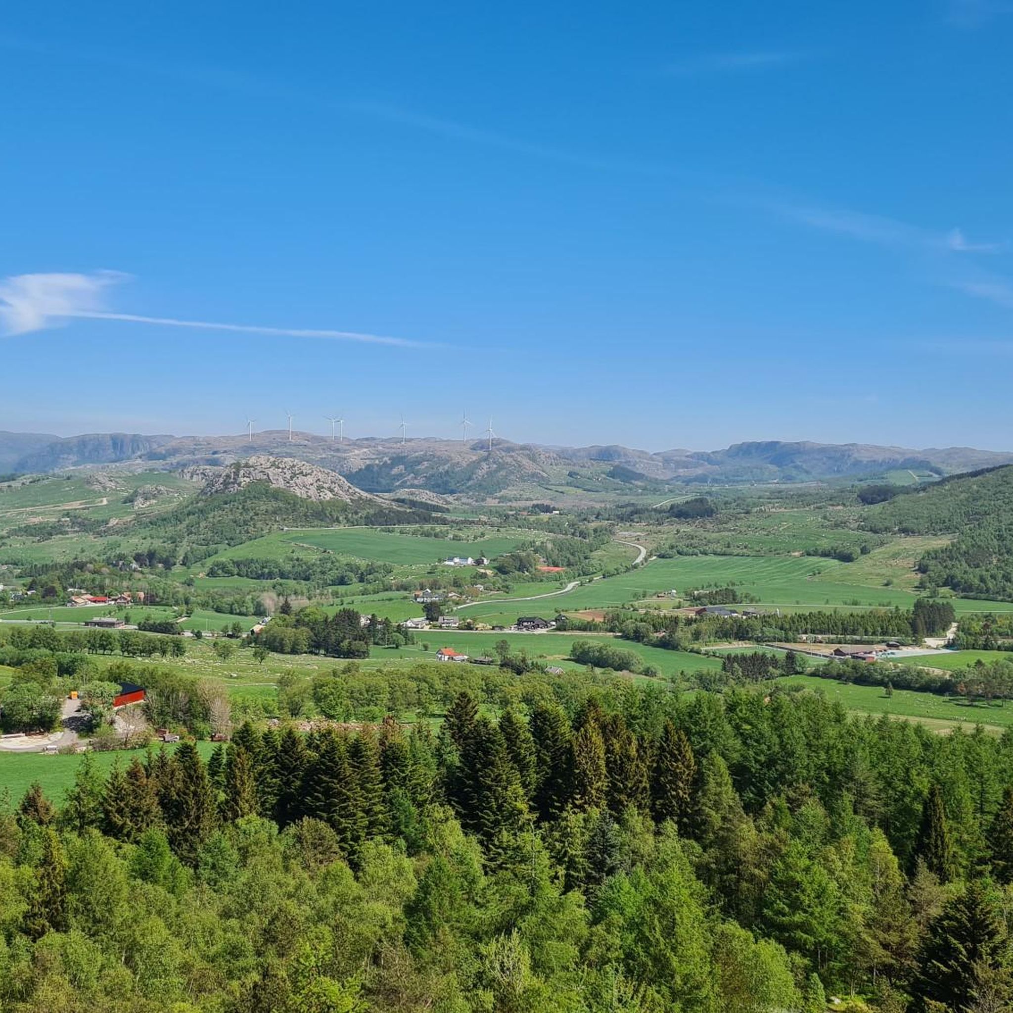
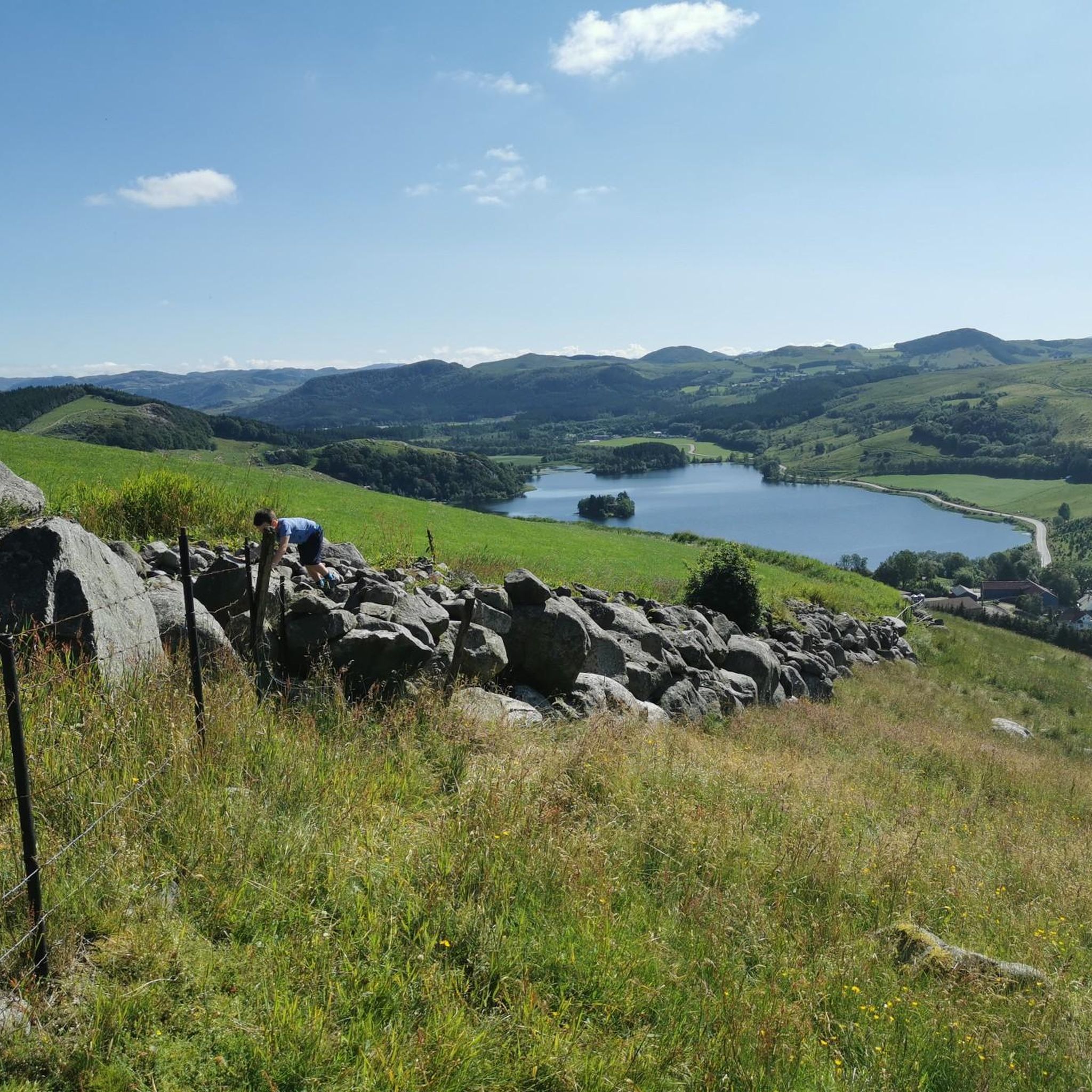
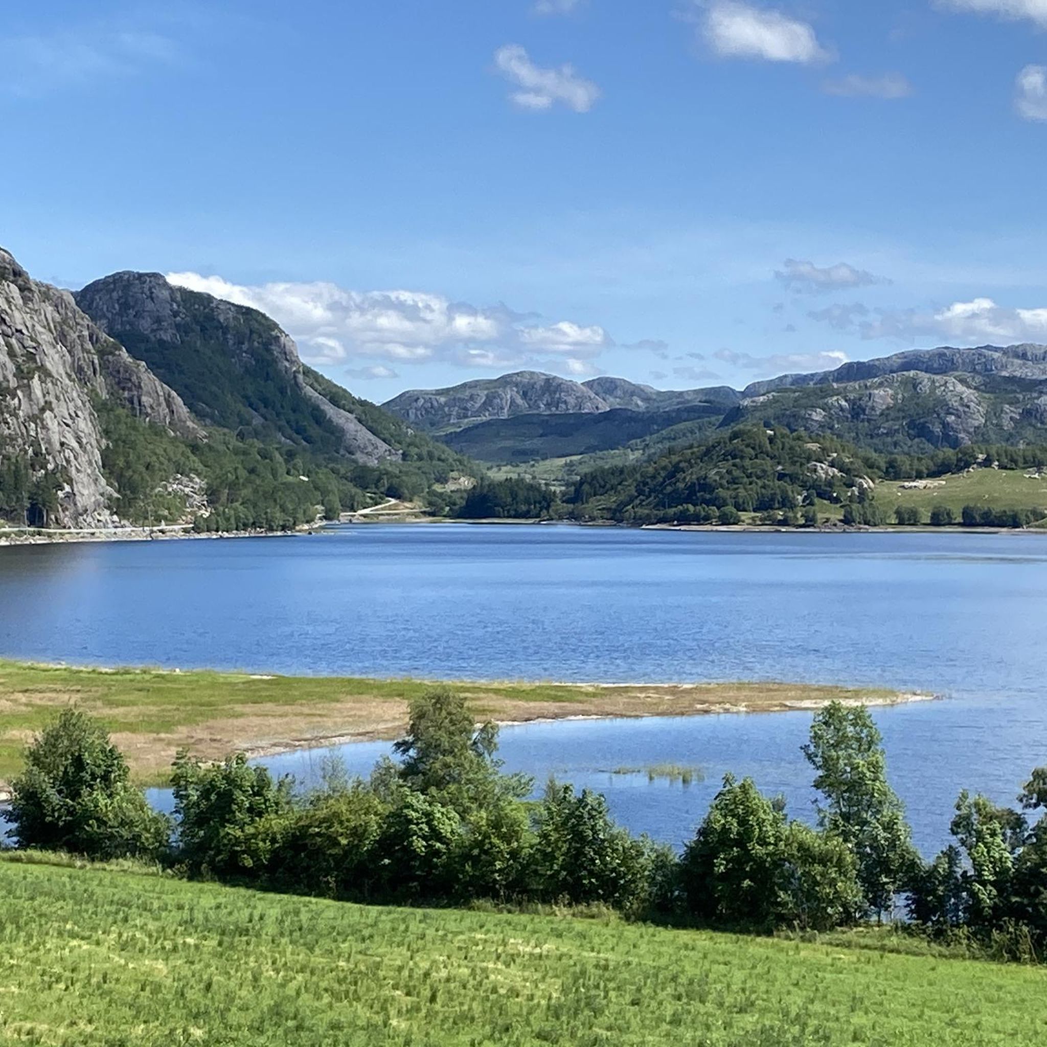
Mountain biking around Stokkelandsvatnet offers accessible trails and scenic landscapes in Ganddal, Sandnes, Rogaland. The area features well-maintained paths, often with gravel surfaces, suitable for various skill levels. The region is characterized by green landscapes, the central Stokkelandsvatnet lake, and varied terrain that includes both relatively flat sections and rolling hills. This makes it a compelling environment for outdoor enthusiasts seeking diverse mountain bike trails.
Best mountain bike trails around Stokkelandsvatnet
- The most popular mountain bike trail is Stokkalandsvatnet –…
Last updated: May 17, 2026
1
riders
44.6km
03:07
530m
530m
Hard mountain bike ride. Good fitness required. Advanced riding skills necessary. Some portions of the route may require you to push your bike.
5
riders
46.6km
03:02
600m
600m
Moderate mountain bike ride. Good fitness required. Suitable for all skill levels.

Sign up for free
2
riders
22.0km
01:13
160m
160m
Easy mountain bike ride. Great for any fitness level. Suitable for all skill levels.
5
riders
34.6km
02:19
460m
460m
Hard mountain bike ride. Good fitness required. Advanced riding skills necessary. Some portions of the route may require you to push your bike.
45.7km
02:31
280m
280m
Moderate mountain bike ride. Good fitness required. Suitable for all skill levels.
Our route recommendations are based on thousands of hikes, rides, and runs completed by other people on komoot.
Start today with a free account
Your next adventure awaits.
Login or Signup
Tips from the Community

From the bridges spanning the Figgjo River, you often have a beautiful view of the interesting river landscape. Carpets of water lilies, green reeds and many other aquatic plants provide plenty of variety.
0
0

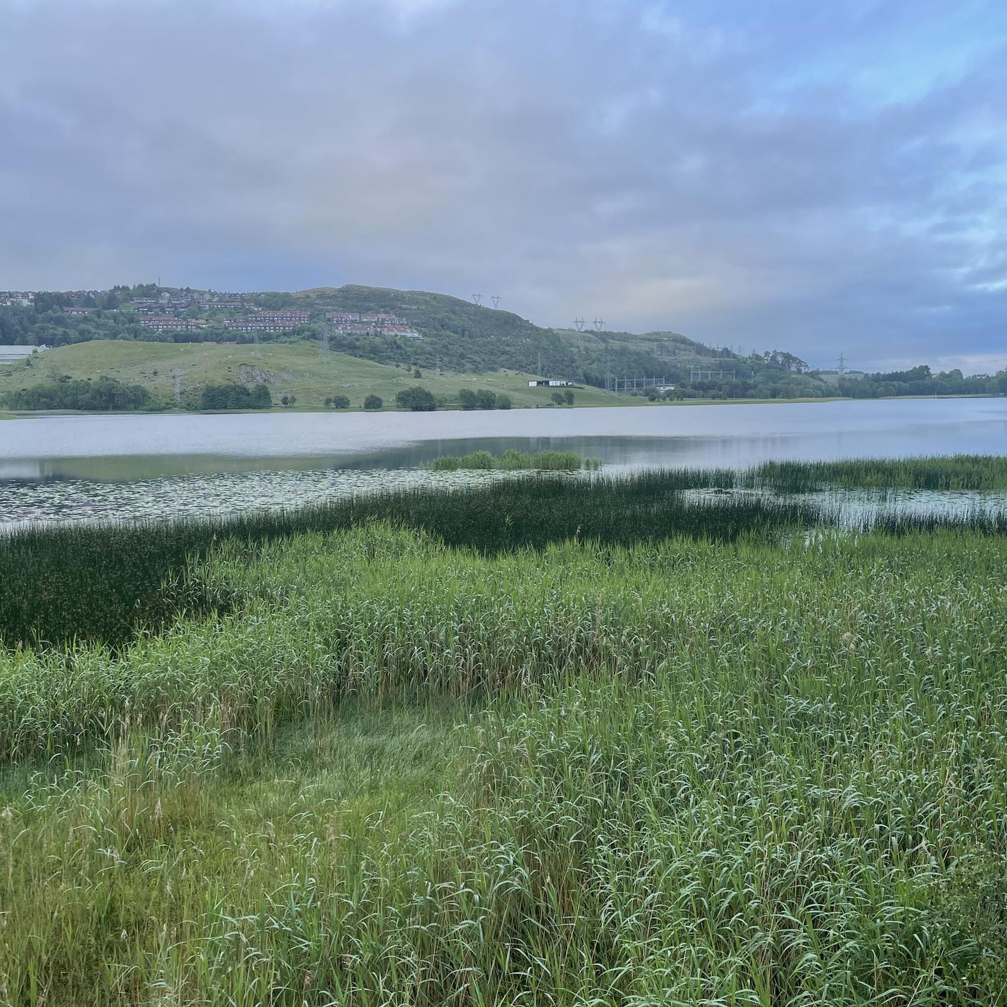
Stokkelandsvatnet is a lake located in Ganddal, Sandnes. The loop the water shore is about 4 kilometers long on a flat, well-maintained gravel path, making it perfect for walking, running, or cycling. The area is known for its rich birdlife, often visible from the trail. It connects seamlessly to the end of Sandvedparken, allowing you to extend your route from the city center.
0
0
Planetstien turns your hike through Sandvedparken into a journey through the solar system. Stretching along the Storåna river, this 1:1 billion scale model starts with the Sun near Sandnes center and ends with Pluto towards Ganddal. It is a flat, easy gravel path suitable for cycling and walking. As you travel the green corridor, you pass sculptures representing each planet at their relative distances.
0
0

Here, you can take a break on a bench. Wander between the trees to admire the lake up close.
0
0

A perfect picnic spot by the lake where you can enjoy peaceful tranquility and natural beauty. The view is dominated by the calm, shimmering lake surface and framed by mature trees or gentle shoreline vegetation, creating a sheltered environment ideal for relaxation.
0
0
Ålgård is the largest town and administrative centre of Gjesdal municipality. Historically known for its wool and textile industry driven by the Figgjo River, it has evolved into a modern center that was once awarded Norway's prestigious National Prize for Architecture. Today, Ålgård is perhaps best known as the home of Kongeparken, the largest amusement park in Western Norway.
0
0
Here you will find a bench overlooking the river, ideal for a rest stop. At the edge of the terrace, you can see the fast-flowing waters of the Figgjo River, while all around, the trees are painted in the typical colors of the season; the paved path is comfortable for walking.
0
0

This small park, located right next to the so-called "Old Town" (gamle Stavanger, old town), is called Lendepark and is dedicated to Lars Lende (1882-1971), a true local character. Even without formal training, he dedicated his life to helping poor children receive an education, and for his efforts, he even met the Norwegian king himself.
0
0
Frequently Asked Questions
What types of mountain bike trails can I find around Stokkelandsvatnet?
The Stokkelandsvatnet area offers a variety of mountain bike trails suitable for different skill levels. You'll find everything from easy rides to more challenging routes. For example, the Solastranden loop from Sola is an easy 15.2 km trail, while the Stokkalandsvatnet – Tronsberg loop from Skeiane presents a difficult 45.8 km challenge with significant elevation gain.
Are there any family-friendly mountain bike trails near Stokkelandsvatnet?
Yes, Stokkelandsvatnet is known for its accessible paths, making it suitable for families. Trails around the lake are generally well-maintained, often with gravel surfaces. The Solastranden loop from Sola is an easy option, perfect for a family outing.
What are the natural features and landmarks to look out for while mountain biking in the area?
The central feature is Stokkelandsvatnet Lake itself, offering picturesque views. A unique attraction is the Planetstien loop from Gausel, a 1:1 billion scale model of our solar system that extends from Sandved Park and connects with the area. The region is also characterized by green landscapes and fresh air, typical of Norway's diverse natural backdrop.
Are there any circular mountain bike routes around Stokkelandsvatnet?
Yes, many of the trails around Stokkelandsvatnet are designed as loops, offering convenient circular routes. Examples include the Nordavatnet – Stemmen loop from Sandnes sentrum, which connects different water bodies, and the Tormodsteinen loop from Stangaland, which takes you through local forests and open areas.
What is the best time of year for mountain biking around Stokkelandsvatnet?
While specific seasonal details aren't provided, the region's 'gorgeous landscapes and fresh air' suggest that spring, summer, and early autumn would be ideal for mountain biking, offering pleasant weather and vibrant scenery. Early mornings can be particularly beautiful as the sun glistens over the lake.
Is there parking available for mountain bikers at Stokkelandsvatnet?
The area around Stokkelandsvatnet is generally accessible, and given its popularity for outdoor activities, you can typically find parking options in Sandnes and near trailheads. Specific parking locations may vary depending on your chosen starting point for a route.
Can I reach the mountain bike trails around Stokkelandsvatnet using public transport?
Stokkelandsvatnet is located in Ganddal, Sandnes, which is part of the Rogaland region. Sandnes has public transport connections, making it possible to reach the general area. You may need to check local bus schedules for the closest stops to your desired trail starting point.
Are dogs allowed on the mountain bike trails around Stokkelandsvatnet?
While specific regulations for dogs on mountain bike trails at Stokkelandsvatnet are not detailed, Norway generally has rules regarding dogs in nature, often requiring them to be on a leash, especially during certain seasons to protect wildlife. It's always best to check local signage or municipal regulations for the most current information.
How long does it typically take to mountain bike around Stokkelandsvatnet?
The duration varies significantly depending on the route and your pace. A full loop around Stokkelandsvatnet itself is approximately 4-5 km and can take around an hour at a normal pace. Longer routes like the Stokkalandsvatnet – Tronsberg loop from Skeiane can take over 3 hours to complete due to their distance and elevation.
Are there any cafes or places to eat near the mountain bike trails?
Stokkelandsvatnet is situated in Ganddal, Sandnes, a developed area. You will find various cafes, pubs, and accommodation options within Sandnes sentrum and the surrounding neighborhoods, which are easily accessible from the trails for a post-ride refreshment.
What is the terrain like for mountain biking around Stokkelandsvatnet?
The terrain around Stokkelandsvatnet offers a mix of relatively flat paths and rolling sections, providing both scenic views and a good workout. Trails are generally well-maintained, with some sections featuring a gravel surface. The broader Rogaland region is known for its diverse terrain, contributing to varied experiences.
Most popular routes around Stokkelandsvatnet

Get inspired with the komoot mobile app


Explore more
Browse the best MTB trails in other regions.
