The best walks and hikes in Douglas County
4.9
(23)
728
hikers
65
hikes
Hiking in Douglas County, Wisconsin, offers access to a vast expanse of forest land, characterized by a diverse forest environment. The region features extensive multi-use recreational trails that traverse varied terrain. These trails provide opportunities for exploring natural landscapes and observing local wildlife. The area's physical features include dense woodlands and rolling topography.
Best hiking trails in Douglas County
- The most popular hiking route is Ely's Peak Loop Trail, a 3.2 miles (5.2 km) trail that takes 1 hour…
Last updated: July 8, 2026
5.0
(1)
4
hikers
5.30km
01:29
110m
90m
The Elys Peak via Superior Hiking Trail offers a delightful mix of natural beauty and historical intrigue, making it a standout among Duluth's hiking trails. You'll wander through varied terrain,…
2.01km
00:36
60m
60m
The Ely's Peak Loop Trail offers a fantastic, compact adventure, winding through wooded areas and over varied terrain that includes rocky and rooted sections. From the summit of Ely's Peak,…

Sign up for free
2.47km
00:38
10m
20m
Waabizheshikana: The Marten Trail offers a delightful and easy hiking experience along the St. Louis River in Duluth, Minnesota. You'll follow a wide, gravel path, enjoying scenic views of the…
3.42km
00:55
40m
40m
Hike the easy 2.1-mile Brule to St. Croix Portage Trail, a historic route through diverse ecosystems in Brule River State Forest.
884m
00:14
0m
10m
Hike the easy 0.5-mile Big Manitou Falls Loop in Pattison State Park to see Wisconsin's tallest waterfall and diverse forest scenery.
862m
00:14
10m
10m
Explore the easy Thimbleberry Nature Trail in Amnicon Falls State Park, a 0.5-mile hike with 38 feet of elevation gain, taking about 14 minu
87.6km
24:19
1,640m
1,500m
Hike the difficult 54.5-mile Superior Hiking Trail: Duluth Section, gaining 5387 feet with stunning Lake Superior views.
4.0
(1)
16
hikers
5.15km
01:30
130m
130m
The Ely's Peak Loop Trail offers a rewarding escape into nature just outside Duluth, Minnesota. You'll traverse rooted paths and rocky sections, with some steep climbs that require sure-footedness, leading…
18
hikers
7.08km
01:47
10m
10m
The Minnesota Point Light loop offers a truly unique hiking experience on Minnesota Point, the world's longest freshwater sandbar. You'll wander through diverse terrain, from soft sandy stretches that give…
14
hikers
2.93km
00:52
90m
90m
The Ely's Peak loop from Elys Peak offers a delightful escape into nature, winding through beautiful forests characteristic of the Superior Hiking Trail. You'll navigate rooted paths and rocky sections,…
Get access to more routes and recommendations from other explorers.
Sign up for free
Already have an account?
Our route recommendations are based on thousands of hikes, rides, and runs completed by other people on komoot.
Start today with a free account
Your next adventure awaits.
Login or Signup
Popular around Douglas County

Hiking in Superior Municipal Forest
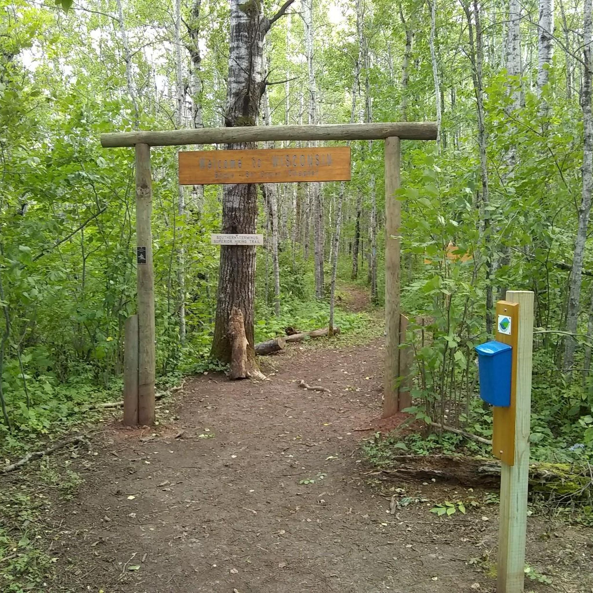
Hiking in St. Louis/Red River Stream Bank Protection Area
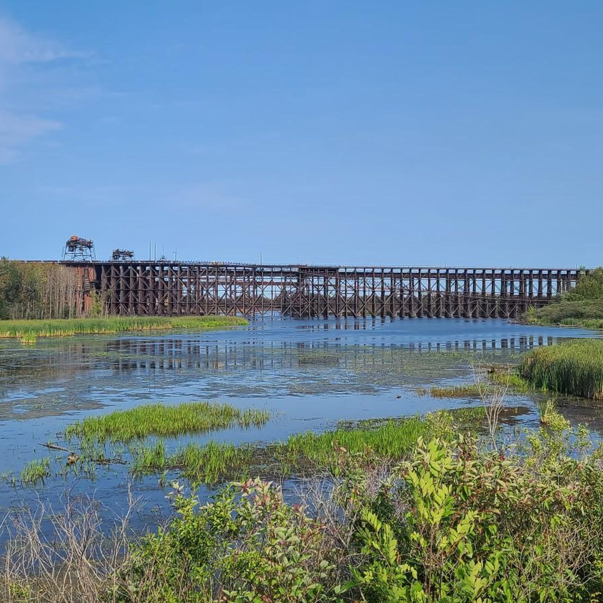
Hiking around Superior

Hiking around Oliver

North Country Trail – 4,800 Miles along the edge of northern U.S.
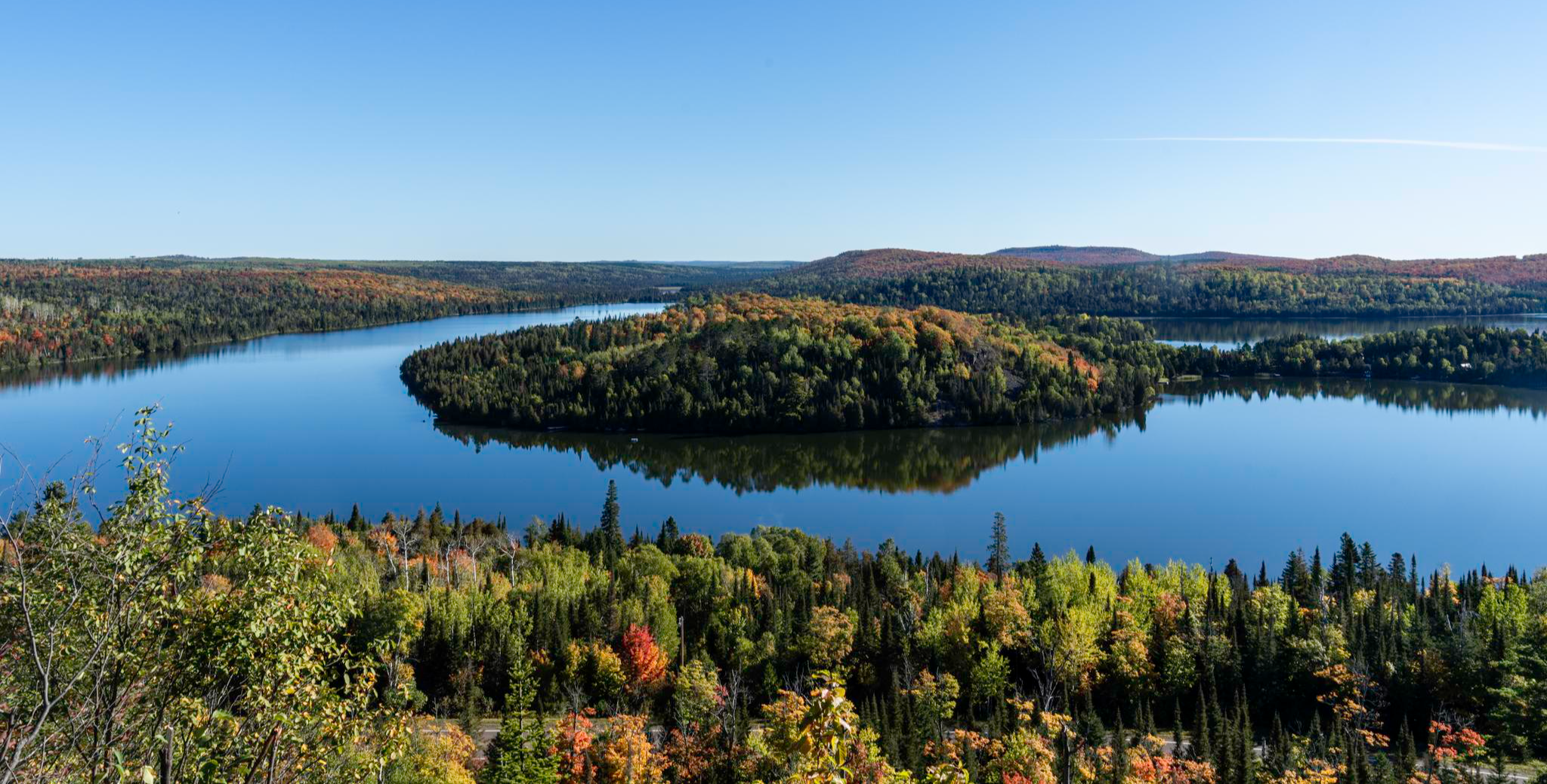
Superior Hiking Trail — Where the forest meets the lake
Road Cycling Routes in Douglas County
Cycling in Douglas County
MTB Trails in Douglas County
Running Trails in Douglas County


Tips from the Community


A flashlight on your helmet or bike will come in handy to avoid puddles on the trail.
0
0

This overlook is a fantastic spot to catch a glimpse of Lake Superior from an elevated vantage point. It's a great spot to take a break and capture a few memorable photos while enjoying this beautiful park.
0
0

The Martin Road Trailhead marks the northern starting point of the Superior Hiking Trail's North Shore section, offering access to 94 backcountry campsites along a 260-mile stretch to the Canadian border. From here, the trail leads through diverse landscapes, including mixed forests and occasional ponds, providing a relatively flat and scenic route.
0
0

Pattison State Park sits on the Black River and covers over 1,400 acres. It features the highest waterfall in Wisconsin, Big Manitou Falls running 165 feet. The park is a great location to end (or start) the Gandy Dancer Trail. The park offers camping and a lake with a beach perfect for a post-ride swim.
0
0

route not known in kamoot map but you can cross to another trail at midway
0
0

Here you can explore the westernmost point of the Great Lakes and look out across the mighty expanse of Lake Superior. There is a carriage road, paved bike path, and boardwalk that all run in parallel along the shore from Duluth to the northern lighthouse pier.
0
0

This little park sits along an overlapping portion of the Superior Hiking Trail and the Lakewalk, which stretches for miles along Lake Superior's shoreline. It's a great spot to watch ships coming and going under the Duluth Aerial Lift Bridge.
0
0
Frequently Asked Questions
How many hiking trails are available in Douglas County?
Douglas County offers a wide variety of hiking experiences, with over 45 trails documented on komoot. These range from easy strolls to more challenging paths, catering to different skill levels and preferences.
What kind of terrain can I expect on hikes in Douglas County?
Hiking in Douglas County, Wisconsin, is characterized by vast forest lands and diverse forest environments. You'll find extensive multi-use recreational trails that traverse varied terrain, including dense woodlands and rolling topography. The area is known for its quiet, shady trails, often featuring towering trees.
Are there any easy, family-friendly hikes in Douglas County?
Yes, Douglas County has many easy trails suitable for families. For example, the Ely's Peak Trail Loop — Duluth, MN is an easy 3.2-mile path offering scenic views and forested sections, typically taking about 1 hour 30 minutes to complete. Another easy option is the Hiking loop from Cody.
What are some more challenging hiking options in the area?
For those seeking a moderate challenge, the Piedmont Trails — Duluth, MN offers a 7.6-mile route winding through diverse forest scenery. Another moderate option is the Duluth Lift Bridge to Enger Tower — Duluth, MN, a 6.2-mile trail that combines urban and natural landscapes.
Are there any loop trails in Douglas County?
Yes, many trails in Douglas County are designed as loops, offering a convenient way to explore without retracing your steps. Popular loop options include the Ely's Peak Trail Loop — Duluth, MN and the Ely's Peak loop from Elys Peak.
What is the best time of year to go hiking in Douglas County?
Douglas County's vast forest lands make it an excellent hiking destination across multiple seasons. Spring and fall offer vibrant foliage and comfortable temperatures. Summer provides lush greenery and full access to all trails. Winter hiking is also popular, with many trails accommodating snowshoeing through the serene, snow-covered forests.
What kind of wildlife might I encounter on the trails?
The extensive forest lands of Douglas County provide habitat for a variety of wildlife. Hikers often have the chance to observe local wildlife in their natural environment, including various bird species, deer, and smaller forest creatures. Always remember to maintain a respectful distance and avoid disturbing animals.
Are there specific trails known for scenic views?
Many trails in Douglas County offer scenic views, particularly those that traverse rolling topography or reach higher elevations. The Ely's Peak Trail Loop — Duluth, MN is noted for its scenic vistas. The region's dense woodlands and diverse forest environments themselves provide beautiful natural scenery throughout your hike.
What do other hikers say about the trails in Douglas County?
The trails in Douglas County are highly rated by the komoot community, with an average score of 4.9 stars from over 20 reviews. Hikers often praise the diverse forest scenery, the well-maintained paths, and the variety of options available for different skill levels.
Are there any permits or fees required to hike in Douglas County?
Most of the extensive multi-use recreational trails within the Douglas County Forest are generally accessible without specific hiking permits. However, it's always a good idea to check the official Douglas County website for any specific regulations or potential fees for certain areas or activities, especially for state-managed parks or specific events. You can find more information on recreational trails at douglascountywi.gov.
Are dogs allowed on hiking trails in Douglas County?
Many trails in Douglas County are dog-friendly, allowing you to bring your furry companion along for the adventure. However, regulations can vary by specific park or trail section, so it's always best to check individual trail rules or park guidelines beforehand. Always keep your dog on a leash and clean up after them.
How long do hikes in Douglas County typically take?
Hiking durations in Douglas County vary greatly depending on the trail's length and difficulty. Easy trails like the Ely's Peak Trail Loop can be completed in about 1 hour 30 minutes, while moderate routes such as the Piedmont Trails might take around 3 hours 20 minutes. There are options for quick outings or longer excursions.
Most popular routes in Douglas County

Get inspired with the komoot mobile app


Didn’t find what you were looking for?
Check out more Hikes throughout Douglas County below and find the perfect route in your destination.
Explore more
Browse the best Hikes in other regions.
