The best road cycling routes in St. Mary's County
5.0
(16)
152
riders
18
rides
Road cycling routes in St. Mary's County traverse a landscape where the Patuxent River, Potomac River, and Chesapeake Bay converge, creating diverse shoreline and waterfront views. The terrain features tranquil marshlands, forests, wetlands, and rolling farmlands. Rural roads, often with wide shoulders, wind through these areas, offering both inclines and broad, relaxed stretches for cyclists.
Best road cycling routes in St. Mary's County
- The most popular road cycling route is Roadbike loop from Leonardtown, a 29.5 miles (47.4 km) trail that takes 1 hour 57 minutes to complete, winding through the county's rural landscapes.
- Another top favourite among local road cyclists is Point Lookout State Park – Point Lookout Lighthouse loop from Saint Mary's City, an easy 29.0 miles (46.6 km) path. This route offers coastal views and passes historical sites near the southern tip of the county.
- Local road cyclists also love the Piney Point Lighthouse loop from California, a 46.8 miles (75.3 km) trail leading through coastal areas and past the historic Piney Point Lighthouse, often completed in about 3 hours 18 minutes.
- Road cycling in St. Mary's County is defined by diverse shoreline, rural roads, and a mix of farmlands and forests. The network offers options for easy and moderate ability levels.
- The routes in St. Mary'S County are highly rated by the komoot community with an average score of 5.0 stars from over 14 reviews. More than 116 road cyclists have used komoot to explore St. Mary'S County's varied terrain.
Last updated: May 29, 2026
7
riders
47.4km
01:57
280m
280m
Easy road ride. Great for any fitness level. Mostly well-paved surfaces and easy to ride.
10
riders
Easy road ride. Great for any fitness level. Mostly well-paved surfaces and easy to ride.

Sign up for free
5.0
(1)
6
riders
45.4km
02:00
220m
220m
Easy road ride. Great for any fitness level. Mostly well-paved surfaces and easy to ride.
7
riders
75.3km
03:19
330m
330m
Moderate road ride. Good fitness required. Mostly well-paved surfaces and easy to ride.
5
riders
28.4km
01:07
120m
120m
Easy road ride. Great for any fitness level. Mostly well-paved surfaces and easy to ride.
4
riders
34.5km
01:21
130m
130m
Easy road ride. Great for any fitness level. Mostly well-paved surfaces and easy to ride.
6
riders
48.4km
02:15
200m
200m
Moderate road ride. Good fitness required. Mostly well-paved surfaces and easy to ride.
5.0
(5)
8
riders
34.6km
01:28
170m
170m
Easy road ride. Great for any fitness level. Mostly well-paved surfaces and easy to ride.
3
riders
25.6km
01:05
100m
100m
Easy road ride. Great for any fitness level. Mostly well-paved surfaces and easy to ride.
5.0
(4)
5
riders
33.8km
01:30
170m
170m
Easy road ride. Great for any fitness level. Mostly well-paved surfaces and easy to ride.
Get access to more routes and recommendations from other explorers.
Sign up for free
Already have an account?
Our route recommendations are based on thousands of hikes, rides, and runs completed by other people on komoot.
Start today with a free account
Your next adventure awaits.
Login or Signup
Popular around St. Mary'S County

Road Cycling Routes around Wildewood

Road Cycling Routes around Lexington Park

Road Cycling Routes in Saint Mary'S River State Park

Road Cycling Routes in Salem State Forest
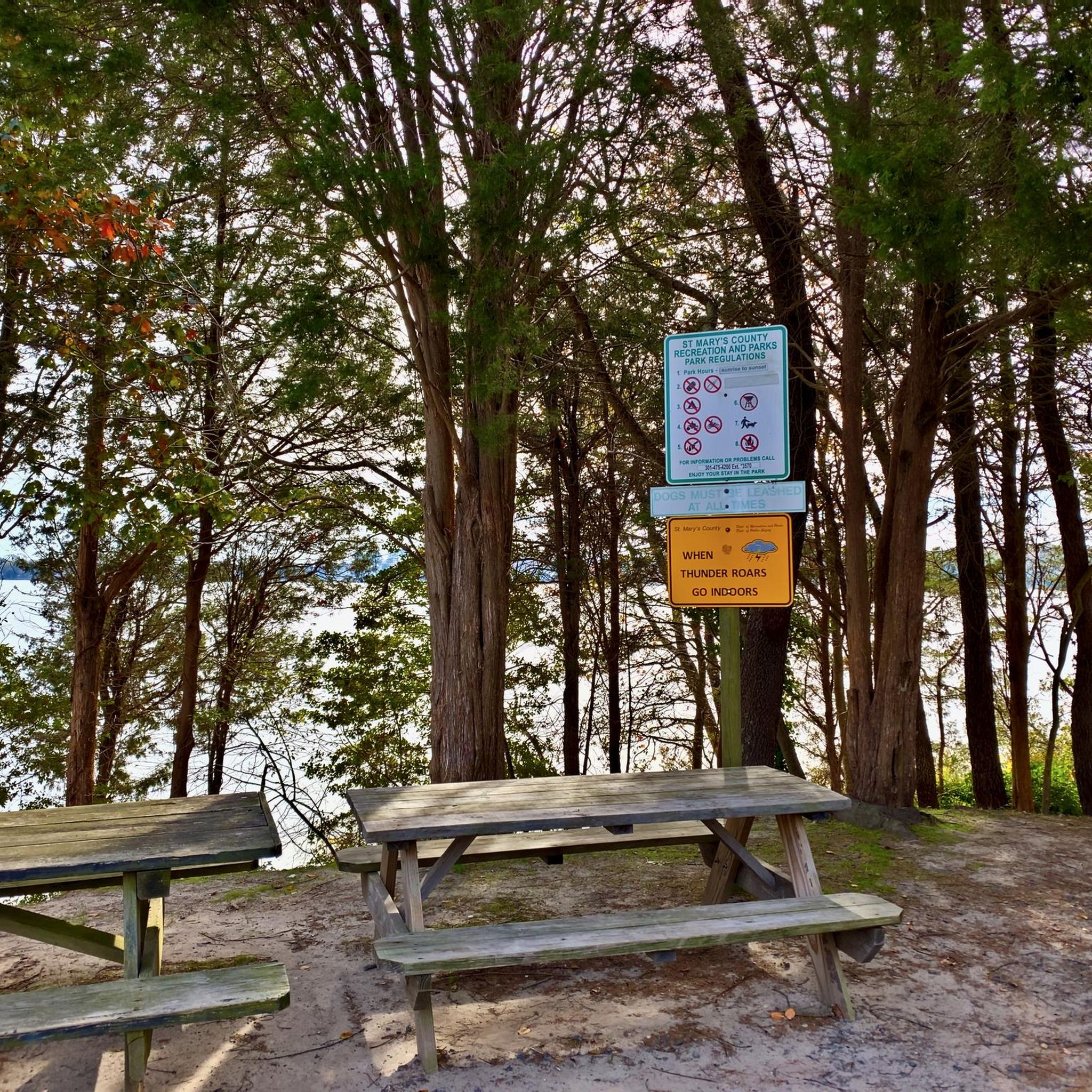
Road Cycling Routes around California

Road Cycling Routes in Greenwell State Park

Road Cycling Routes around Callaway

Road Cycling Routes around Leonardtown

Road Cycling Routes in New Towne Neck State Park
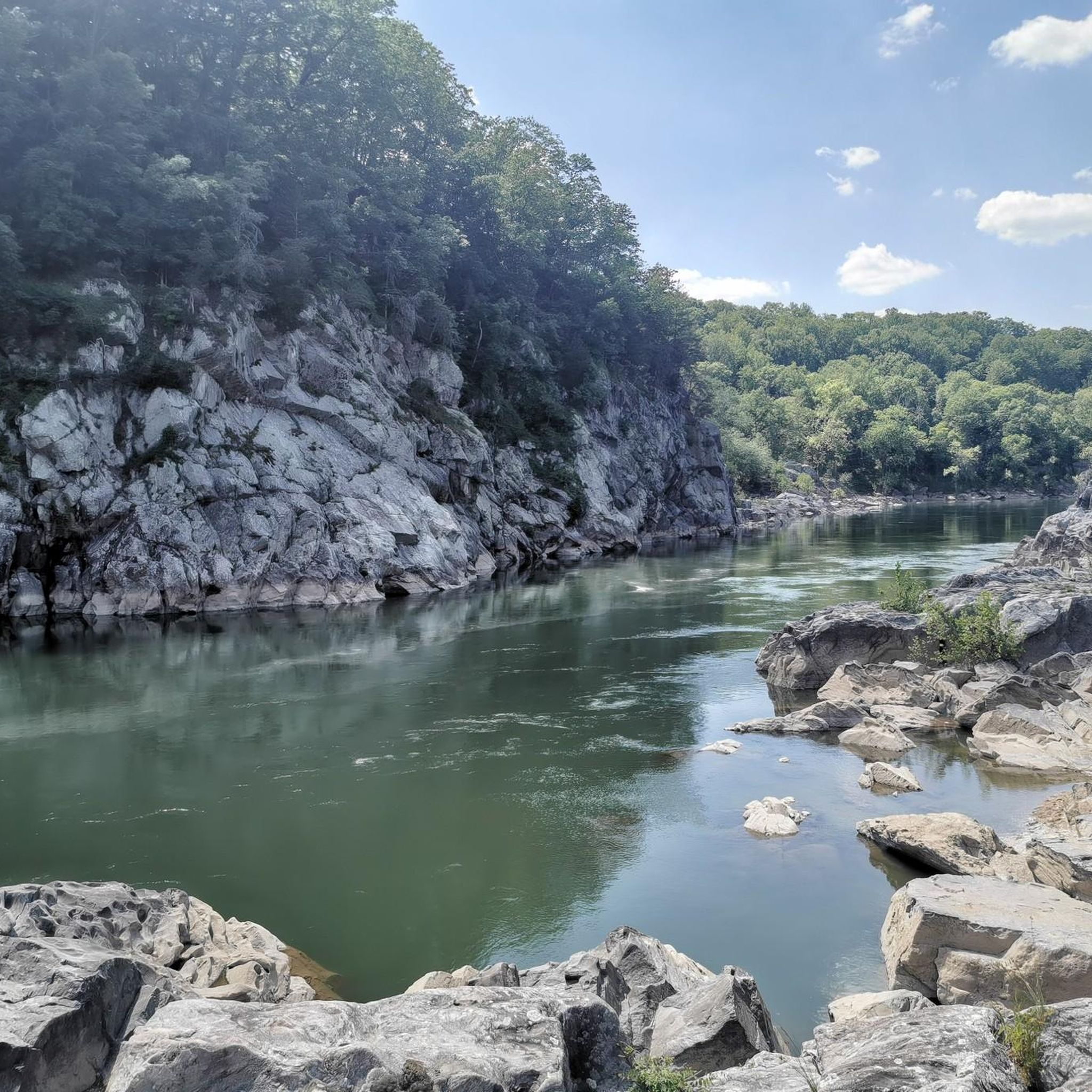
Hiking in St. Mary's County
Tips from the Community

Point Lookout State Park is an over 1,000 acre park at the southernmost tip of a peninsula formed by the confluence of Chesapeake Bay and the Potomac River. The park has picnic areas, overnight camping, and several Civil War historical remains. This is also the southern terminus of the Potomac Heritage Trail.
0
0
Point Lookout State Park is an over 1,000 acre park at the southernmost tip of a peninsula formed by the confluence of Chesapeake Bay and the Potomac River. The park has picnic areas, overnight camping, and several Civil War historical remains. This is also the southern terminus of the Potomac Heritage Trail.
0
0

This state park near the mouth of the Patuxent River offers a wide array of activities. You have hiking, biking, fishing, and kayaking. There's also the historic Rosedale Manor House and Bonds-Simms tobacco barns available to tour for those interested in the local history.
0
0

Point Lookout State Park is over 1,000 acres at the southern tip of St. Mary's County, Maryland. The park encompass beaches, marshes, and forests, attracting outdoor enthusiasts with opportunities for hiking, biking, bird watching, fishing, and picnicking. In addition to these natural resources, the park also preserves a rich history. During the Civil War the park was home to a Union military prison and the park features a visitor center and museum detailing this Civil War history, and natural history.
0
0
Point Lookout Lighthouse, located at Maryland's southern tip within Point Lookout State Park, was built in 1883 to aid navigation at the Chesapeake Bay entrance. Its historical significance includes serving as a Union military prison during the Civil War. Automated in 1930 and decommissioned in 1966, preservation efforts by the Point Lookout Lighthouse Preservation Society have restored the lighthouse and keeper's quarters. The site is open to the public, allowing visitors to explore its rich maritime history. Besides its role in navigation, the lighthouse gained a reputation for paranormal activity. Today, it stands as a preserved testament to the region's maritime heritage and wartime past.
0
0
Frequently Asked Questions
What kind of terrain can I expect on road cycling routes in St. Mary's County?
St. Mary's County offers a diverse landscape for road cyclists, characterized by its convergence of the Patuxent River, Potomac River, and Chesapeake Bay. You'll find routes winding through tranquil marshlands, forests, wetlands, and rolling farmlands. The rural roads often feature wide shoulders, providing both gentle inclines and broad, relaxed stretches, making for varied and enjoyable rides.
Are there road cycling routes suitable for families in St. Mary's County?
Yes, St. Mary's County has several road cycling routes that are suitable for families, particularly those with an 'easy' difficulty rating. For instance, the Roadbike loop from Callaway is an easy 25.5 km route. The region's rural roads and scenic views make for pleasant family outings, though always consider the distance and elevation for younger riders.
What are some notable landmarks or natural features I can see while road cycling in St. Mary's County?
Road cycling in St. Mary's County offers opportunities to see a variety of landmarks and natural features. You can cycle past the historic Point Lookout Lighthouse, explore areas near Greenwell State Park, or enjoy views of St. Mary's Lake. Many routes also traverse scenic farmlands and forests, offering glimpses of the local Amish community.
What is the best time of year to go road cycling in St. Mary's County?
St. Mary's County is generally pleasant for road cycling across multiple seasons. Spring and fall offer mild temperatures and beautiful scenery, with changing foliage in autumn. Summer can be warm, but coastal breezes can make rides enjoyable, especially earlier in the day. The annual St. Mary's Century event in September highlights the favorable conditions during that time.
Are there any loop routes available for road cyclists in St. Mary's County?
Yes, many of the road cycling routes in St. Mary's County are designed as loops, allowing you to start and end at the same point. Examples include the Roadbike loop from Leonardtown, the Point Lookout State Park – Point Lookout Lighthouse loop from Saint Mary's City, and the Piney Point Lighthouse loop from California.
What are the typical distances and difficulty levels of road cycling routes in St. Mary's County?
Road cycling routes in St. Mary's County vary in distance, typically ranging from around 25 km to over 75 km. The majority of routes are rated as 'easy,' with some 'moderate' options available for those seeking more challenge. For example, the Roadbike loop from Wildewood is an easy 34.5 km ride, while the Greenwell State Park loop from Saint Andrews Church is a moderate 48.4 km route.
What do other road cyclists say about their experience in St. Mary's County?
The road cycling experience in St. Mary's County is highly regarded by the komoot community, with an average rating of 5.0 stars from over 14 reviews. Cyclists often praise the region's diverse shoreline, rural roads with wide shoulders, and the mix of farmlands and forests that provide scenic and varied rides.
Are there any specific state parks that are good for road cycling in St. Mary's County?
While some state parks like St. Mary's River State Park are known for mountain biking, road cyclists can enjoy routes that pass by or near other state parks. For instance, the Point Lookout State Park – Point Lookout Lighthouse loop from Saint Mary's City takes you close to Point Lookout State Park, offering coastal views and historical sites.
Where can I find parking for road cycling routes in St. Mary's County?
Parking availability for road cycling routes in St. Mary's County can vary. Many routes start from towns like Leonardtown or California, where public parking might be accessible. For routes passing through state parks or specific attractions, dedicated parking lots are often available. It's advisable to check the specific route details on komoot for suggested starting points and parking information.
Are there any road cycling routes that offer a glimpse into the local Amish community?
Yes, St. Mary's County is home to an Amish community, and some rural roads provide opportunities to cycle through areas where you might see Amish buggies and farmlands. The 'Amish & Mennonite Loop' is a well-known route that takes cyclists through inland forests and expansive fields, offering a unique cultural experience. Always be mindful of buggies and share the road respectfully.
What are the options for public transport access to road cycling routes in St. Mary's County?
Public transport options directly serving specific road cycling trailheads in St. Mary's County may be limited. Most cyclists typically drive to a starting point in one of the towns or designated parking areas. For detailed information on local public transit, it's best to consult the St. Mary's County government's transportation resources, though these may not be optimized for bike trail access.
Are there any fees or permits required for road cycling on trails in St. Mary's County?
Generally, road cycling on public roads and most designated routes in St. Mary's County does not require specific permits or fees. However, if a route passes through a state park or a privately managed area, there might be entrance fees or specific regulations. It's always a good idea to check the official websites of any parks or attractions along your chosen route for the most current information.
Can I find amenities like cafes or restaurants near road cycling routes in St. Mary's County?
Yes, many road cycling routes in St. Mary's County pass through or near towns like Leonardtown, California, and Saint Mary's City, where you can find various amenities. These towns offer cafes, restaurants, and other services where cyclists can refuel and rest. Planning your route to include stops in these areas can enhance your cycling experience.
Most popular attractions in St. Mary's County

Get inspired with the komoot mobile app


Didn’t find what you were looking for?
Check out more Road cycling routes throughout St. Mary'S County below and find the perfect route in your destination.
Explore more
Browse the best Road cycling routes in other regions.
