The best road cycling routes in Clarke County
4.5
(4)
145
riders
20
rides
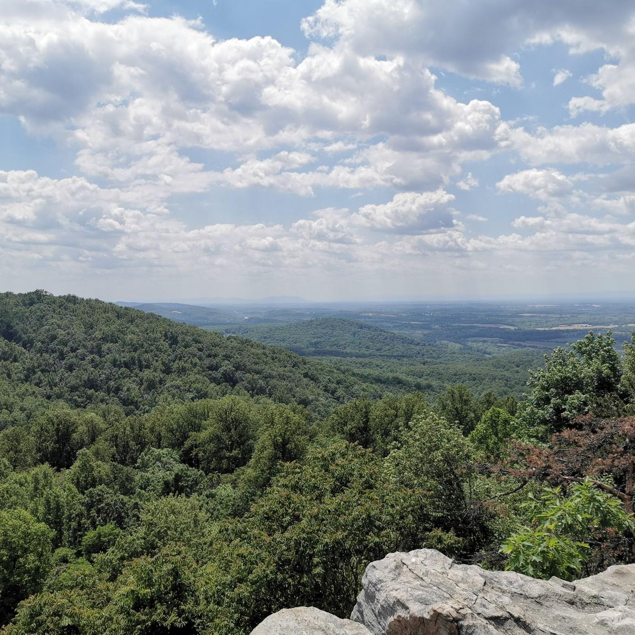
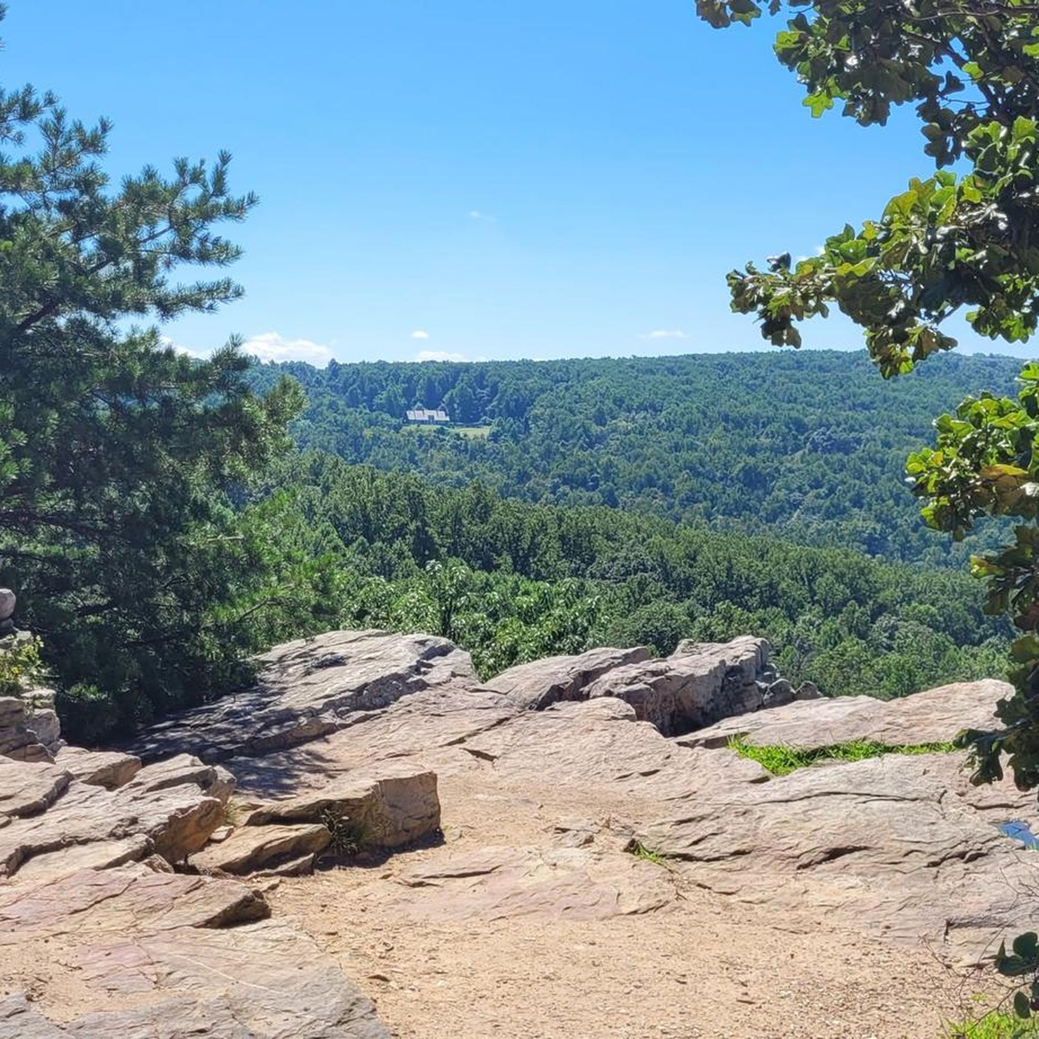
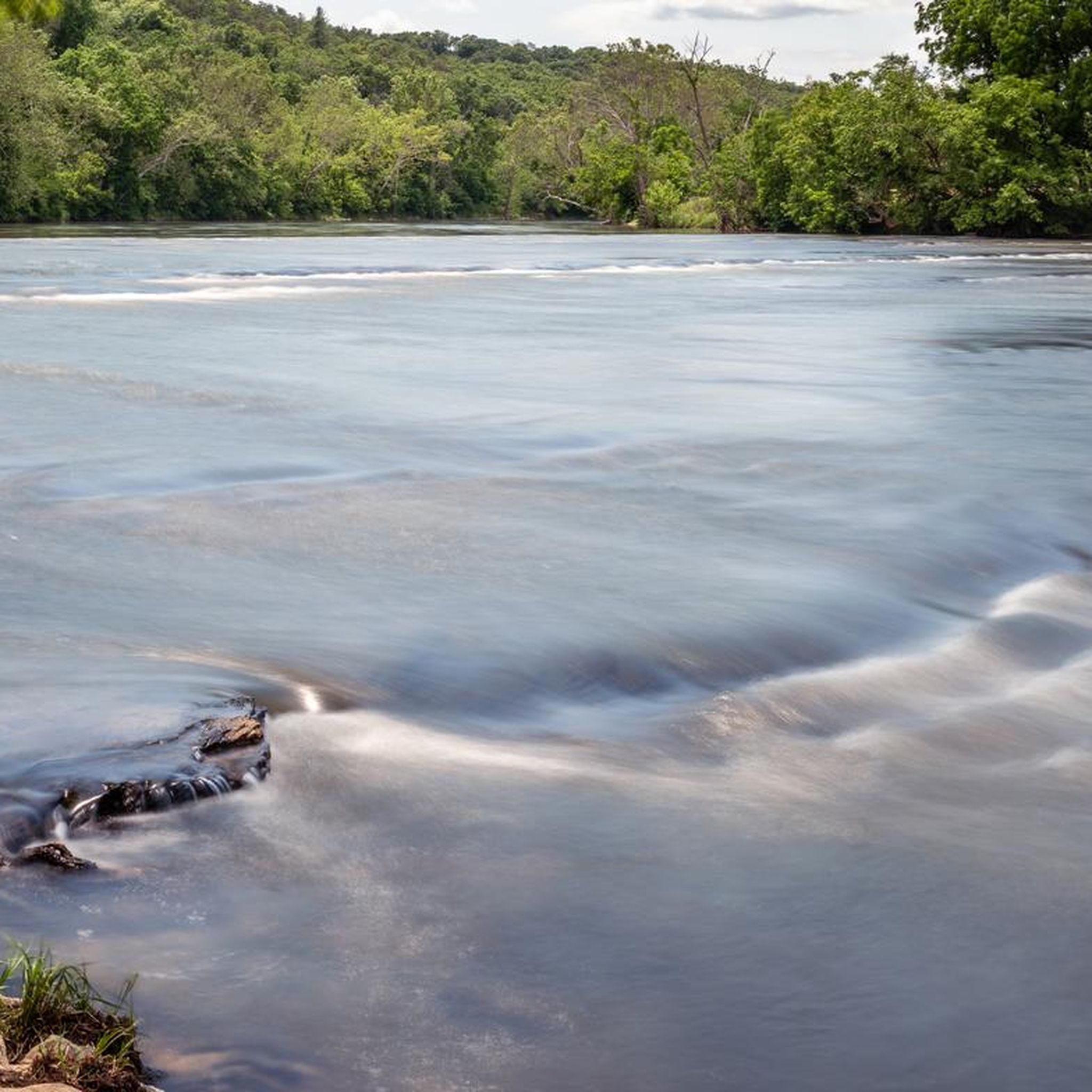
Road cycling routes in Clarke County are set within the scenic Shenandoah Valley, at the foot of the Blue Ridge Mountains. The region features a mix of rolling hills, agricultural farmland, and views of the Shenandoah River. This landscape provides diverse terrain for road cyclists, ranging from gentle routes through open countryside to more challenging climbs in mountainous areas.
Best road cycling routes in Clarke County
- The most popular road cycling route is Berryville, a 41.0 miles (66.1 km) trail that takes 3 hours to complete. This route offers scenic views of the Shenandoah River and the Virginia countryside.
- Another top favourite among local road cyclists is Turner Pond – Bluemont General Store loop from Snickers Gap, a difficult 55.1 miles (88.7 km) path. This route features significant elevation gain through mountainous terrain.
- Local road cyclists also love the Roadbike loop from White Post, a 17.6 miles (28.4 km) trail leading through rolling farmland, often completed in about 1 hour 16 minutes.
- Road cycling in Clarke County is defined by the Blue Ridge Mountains, the Shenandoah River, and extensive farmland. The network offers options for different ability levels, from easy loops to routes with significant elevation changes.
- The routes in Clarke County are highly rated by the komoot community with an average score of 4.3 stars from over 3 reviews. More than 142 road cyclists have used komoot to explore Clarke County's varied terrain.
Last updated: October 10, 2026
3
riders
66.1km
03:01
550m
550m
Moderate road ride. Good fitness required. Mostly well-paved surfaces and easy to ride.
45
riders
89.8km
04:53
1,140m
1,140m
Hard road ride. Very good fitness required. Mostly well-paved surfaces and easy to ride.

12
riders
117km
05:50
1,550m
1,550m
Hard road ride. Very good fitness required. Mostly well-paved surfaces and easy to ride.
3.0
(1)
10
riders
53.5km
02:20
280m
280m
Moderate road ride. Good fitness required. Mostly well-paved surfaces and easy to ride.
8
riders
32.6km
01:24
230m
230m
Easy road ride. Great for any fitness level. Mostly well-paved surfaces and easy to ride.
11
riders
28.3km
01:16
160m
160m
Easy road ride. Great for any fitness level. Mostly well-paved surfaces and easy to ride.
5.0
(1)
4
riders
43.8km
02:47
290m
290m
Moderate road ride. Good fitness required. Some segments of this route may be unpaved and difficult to ride.
5.0
(1)
5
riders
30.9km
01:22
210m
210m
Easy road ride. Great for any fitness level. Mostly well-paved surfaces and easy to ride.
12
riders
Moderate road ride. Good fitness required. Some segments of this route may be unpaved and difficult to ride.
3
riders
30.2km
01:17
130m
130m
Easy road ride. Great for any fitness level. Mostly well-paved surfaces and easy to ride.
Get access to more routes and recommendations from other explorers.
Already have an account?
Our route recommendations are based on thousands of hikes, rides, and runs completed by other people on komoot.
Start today with a free account
Your next adventure awaits.

Tips from the Community

No matter where you're going, or where you came from, it's all downhill from here. The road goes in three directions from here, so take your pick and enjoy the descent.
1
0

Purcellville, at the end of the rail line, has great places to stop. Monk's BBQ is fantastic and easy, and if you want to simply spend more time you can take the distillery tour at the Catoctin Creek Distilling Company (makers of great rye and other spirits). They town has also kept the old downtown shopping area straight out of the 1940s, which is great to see.
1
0

Goosecup is a coffee shop, located in Leesburg, VA. It is is a popular spot with locals and visitors alike and is known for its coffee and cozy atmosphere.
0
0
Picturesque gentle climb on the W&OD, a reminder that this was a railway for years and years
0
0

The Sherando Park bike trails are a semi-newly constructed network of mountain biking trails. The paths are also open to foot traffic and are mostly beginner to intermediate in difficulty. There are some areas with bumpy terrain and some hills, but the trail network really is meant more for flowy loops than challenging climbs and technical terrain. The trails are also uni-directional for riding, so make sure to follow the direction arrows out on the paths.
0
0

The stretch of the W&OD from Leesburg to Purcellville (~10 miles) is by far the best section.
0
0
The Leesburg Quarry is a historical site right off the Washington & Old Dominion Trail. This paved multi-use trail is about 45 miles and is a great way to ride around the area free of cars. There is a historical marker right off the trail in front of the old quarry. In the 1860s, the railroad's arrival spawned businesses like the Leesburg Lime Company, operating here since 1868. Using dynamite, quarriers extracted limestone, later burned in kilns. The company supplied farmers with fertilizer and builders with plaster. Its decline came when bluestone from the eastern county proved more durable for roads.
0
0

At 582 feet, Clarkes Gap, was the highest point on the Washington & Old Dominion Railroad. The stone bridge dates from the 1870s, but instead of a railway line now going underneath, there is a recreational trail and this is a super trail for cycling.
0
0
Frequently Asked Questions
How many road cycling routes are available in Clarke County?
Clarke County offers a diverse network of 17 road cycling routes. These routes cater to various skill levels, from easy loops to challenging climbs, and have been explored by over 140 road cyclists using komoot.
What types of landscapes will I encounter on road cycling routes in Clarke County?
Road cycling in Clarke County takes you through a variety of scenic landscapes. You'll experience routes at the foot of the Blue Ridge Mountains, alongside the picturesque Shenandoah River, and through extensive areas of gently rolling hills and beautiful agricultural farmland. This mix provides both serene countryside rides and more challenging mountainous sections.
Are there any easy road cycling routes suitable for beginners or families?
Yes, Clarke County has several easy road cycling routes. For instance, the Roadbike loop from White Post is an easy 17.6-mile (28.4 km) trail through rolling farmland, typically completed in about 1 hour 16 minutes. Another easy option is the Roadbike loop from Shenandoah University, which covers 20.3 miles (32.6 km).
What are some of the more challenging road cycling routes in Clarke County?
For experienced cyclists seeking a challenge, routes like the Turner Pond – Bluemont General Store loop from Snickers Gap offer significant elevation gain over 55.1 miles (88.7 km). Another demanding option is the Bluemont General Store loop from Snickers Gap, which extends to 64.9 miles (104.3 km) with substantial climbing.
What is the best time of year for road cycling in Clarke County?
The Shenandoah Valley region, including Clarke County, generally offers pleasant cycling conditions during spring, summer, and fall. Spring brings blooming landscapes, while fall showcases vibrant foliage. Summer is also popular, though it can be warmer. Winter cycling is possible, but weather conditions can vary, with colder temperatures and potential for snow or ice, especially in mountainous areas.
Are there any notable attractions or historical sites along the road cycling routes?
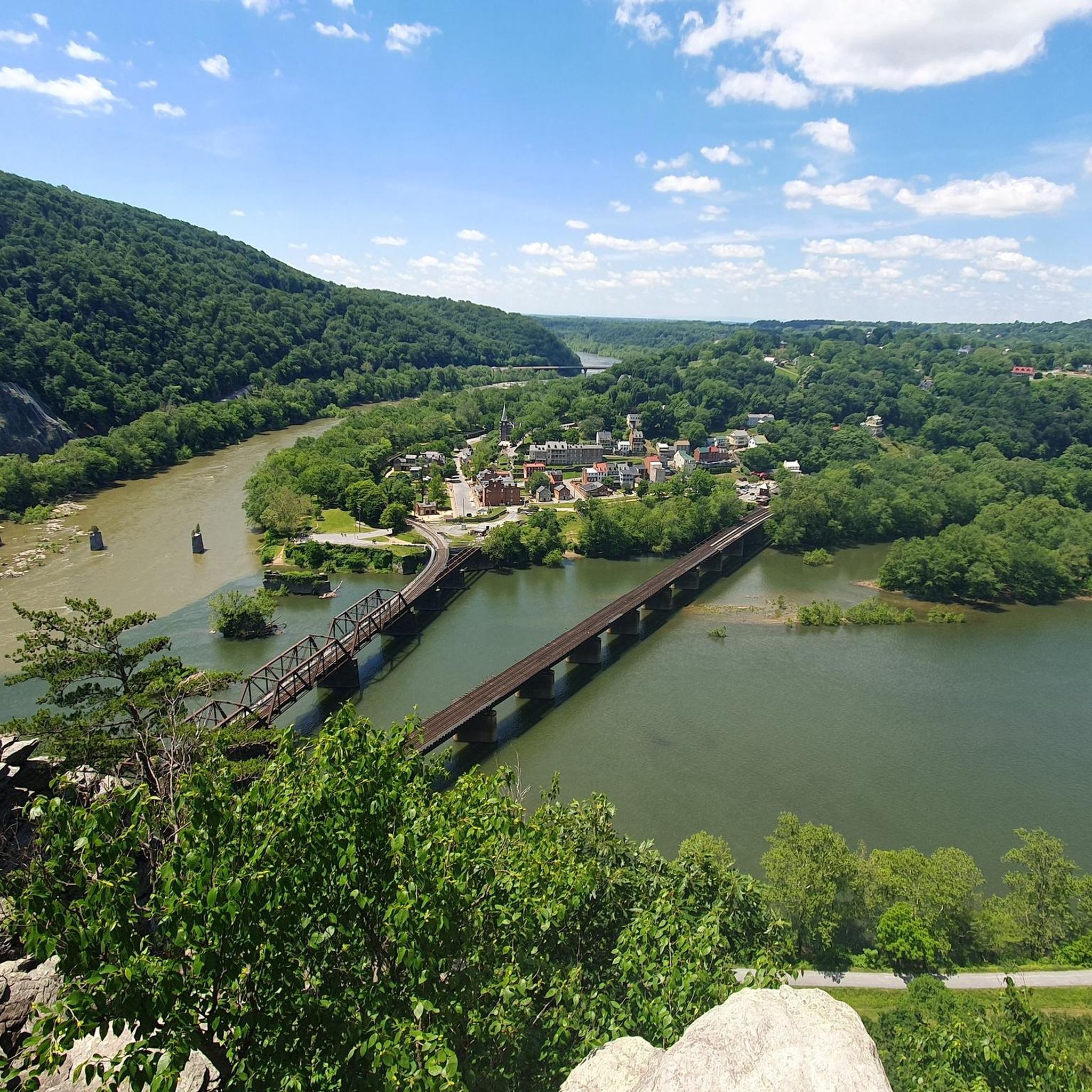
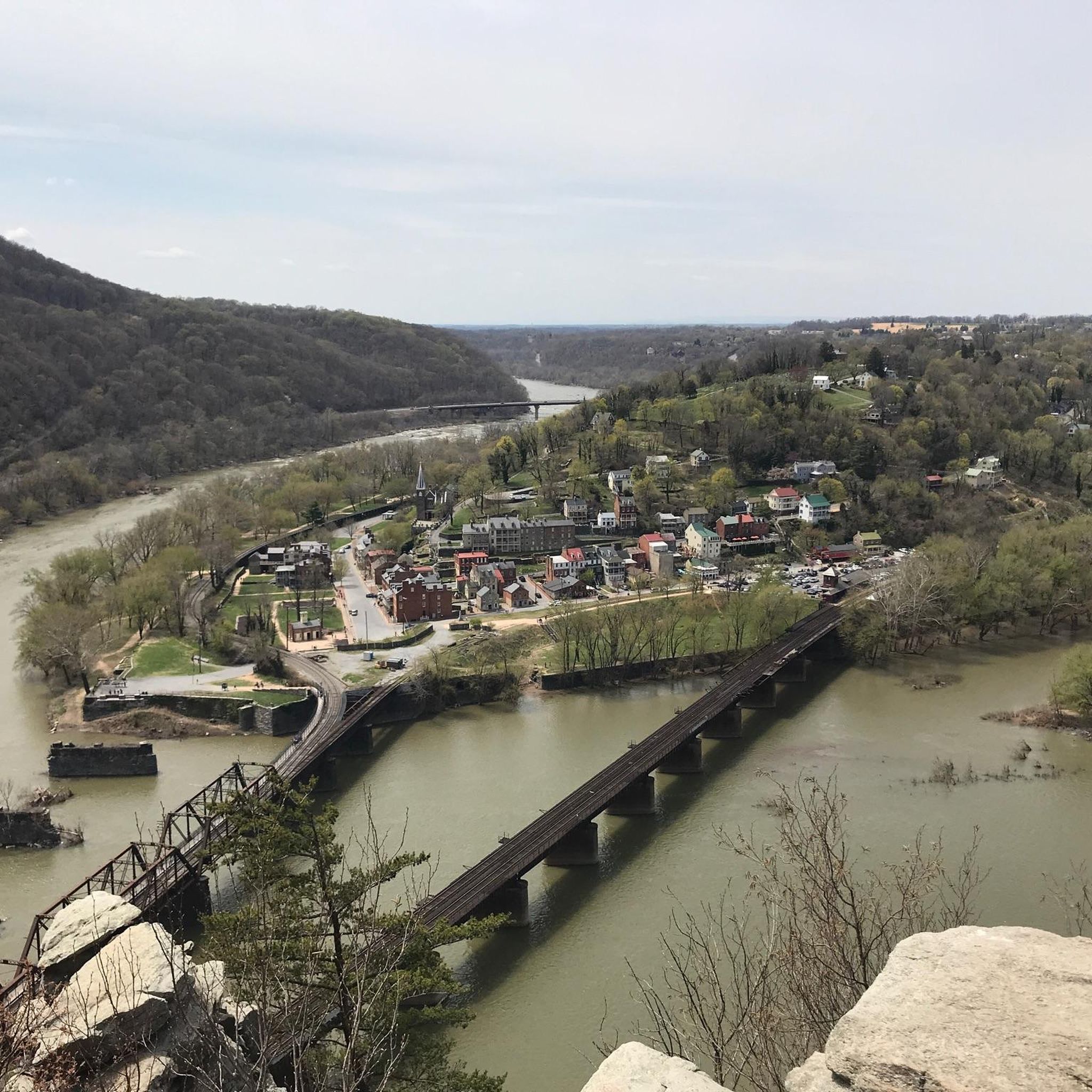
Yes, Clarke County is rich in history and natural beauty. Cyclists can explore sites such as the Cool Spring Battlefield, a significant Civil War site. The routes also offer views of the Shenandoah River and pass near the Bears Den Overlook, providing stunning panoramic views.
Can I find loop trails for road cycling in Clarke County?
Many of the road cycling routes in Clarke County are designed as loops, offering convenient starting and ending points. Examples include the Berryville loop, the Roadbike loop from White Post, and the Roadbike loop from Winchester, among others.
What do other road cyclists say about the routes in Clarke County?
The road cycling routes in Clarke County are highly rated by the komoot community, with an average score of 4.3 stars from over 3 reviews. Cyclists often praise the diverse terrain, scenic views of the Shenandoah River and Virginia countryside, and the variety of options available for different ability levels.
Are there any routes that offer views of the Shenandoah River?
Absolutely. The Berryville route, a moderate 41.0-mile (66.1 km) loop, is particularly noted for its scenic views of the Shenandoah River and the surrounding Virginia countryside. Many other routes in the region will also offer glimpses or stretches along the river.
What is the longest road cycling route available in Clarke County?
One of the longest road cycling routes in the area is the Bowers Hill loop from Shenandoah University, which spans 72.8 miles (117.2 km) and features significant elevation changes, making it a challenging and extended ride.
Are there road cycling routes that start near Winchester?
Yes, several road cycling routes are accessible from or near Winchester. The Roadbike loop from Winchester is a popular 19.2-mile (30.9 km) option, and the Bowers Hill loop from Winchester offers a longer 28.6-mile (46.0 km) ride.
Can I find road cycling routes with moderate difficulty in Clarke County?
Yes, Clarke County offers several routes of moderate difficulty. The Berryville route is a moderate 41.0-mile (66.1 km) loop, and the Sherando Park Bike Trails loop from Stephens City is another moderate option covering 33.3 miles (53.5 km).
Most popular routes in Clarke County
Most popular attractions in Clarke County

Get inspired with the komoot mobile app


Didn’t find what you were looking for?
Check out more Road cycling routes throughout Clarke County below and find the perfect route in your destination.
Explore more
Browse the best Road cycling routes in other regions.
