The best road cycling routes in Oxford County
4.3
(3)
454
riders
46
rides
Road cycling routes in Oxford County are characterized by a diverse landscape featuring river valleys, forested areas, and gently rolling terrain. The region offers a mix of routes that traverse through natural areas and connect to charming towns. Cyclists can expect varied elevations, from moderate climbs to more challenging ascents, particularly in areas near the White Mountain National Forest.
Best road cycling routes in Oxford County
- The most popular road cycling route is Androscoggin River loop from Bethel — Oxford County, a 38.5 miles (61.9 km) trail that takes 2 hours 35 minutes to complete. This route follows the scenic Androscoggin River, offering views of the surrounding natural landscape.
- Another top favourite among local road cyclists is Evan's Notch from Bethel loop — White Mountain National Forest, a moderate 43.0 miles (69.2 km) path. This route features significant elevation gain as it winds through the White Mountain National Forest.
- Local road cyclists also love the Intervale Gateway Nature Reserve to North Pond loop — Oxford County, a 26.0 miles (41.9 km) trail leading through natural reserves and past North Pond, often completed in about 1 hour 50 minutes.
- Road cycling in Oxford County is defined by river valleys, forested hills, and varied elevations. The network offers options for different ability levels, from easy loops around ponds to more challenging routes with substantial climbs.
- The routes in Oxford County are highly rated by the komoot community with an average score of 5.0 stars from over 1 review. More than 250 road cyclists have used komoot to explore Oxford County's varied terrain.
Last updated: November 7, 2026
17
riders
61.9km
02:35
450m
450m
The Cross New Hampshire Adventure Trail Loop offers a truly diverse cycling experience, winding through river valleys and past historic covered bridges. You'll traverse a mix of paved and unpaved surfaces, from hard-packed stone dust to rough gravel, with views of the Presidential Mountain Range and the chance to spot wildlife near the Androscoggin River. It's a moderate 38.5-mile (61.9 km) route that feels like a true New England adventure, best suited for bikes with wider tires.
While the Komoot data suggests racebikes, this 2-hour and 35-minute loop is definitely not for skinny-tired road bikes; a gravel bike, hybrid, or mountain bike is highly recommended due to the varied terrain. With 1485 feet (453 metres) of elevation gain, you'll encounter some steady climbs and rougher sections. Look for the ten fixed bike repair stations along the route, and consider visiting in June for lupine blooms or October for fall foliage.
This loop is part of the larger 83-mile Cross New Hampshire Adventure Trail, designed to connect communities and offer safer, off-road travel. It incorporates former rail lines, adding a historical dimension to your ride. The trail's multi-use nature means you'll share it with walkers and runners, and it's a great way to explore the northern White Mountains region and its charming towns.
10
riders
69.2km
03:16
880m
880m
The Evan's Notch from Bethel loop offers a truly immersive road cycling experience through the White Mountain National Forest, where you'll navigate diverse terrain and soak in stunning mountain views. Expect to climb through thick forests that burst with color in autumn, eventually reaching expansive vistas at the top of Evan's Notch. The route provides a serene atmosphere, allowing you to connect deeply with the wilderness, far from the crowds of more popular passes. You'll find yourself cycling alongside a scenic river on the north side, a pleasant contrast to the challenging climbs.
This moderate 43.0-mile (69.2 km) road cycling loop, with its 2880 feet (878 metres) of elevation gain, typically takes around 3 hours and 15 minutes. It's a fantastic option for spring, summer, or fall, with autumn foliage being a particular highlight. The roads are mostly well-paved, though some sections can be narrow and winding. The south side of Evan's Notch is notably steeper, with gradients around 10%, so be ready for a sustained effort.
What makes this route stand out is its relative solitude and status as a classic northern New England ride. Beyond the cycling, you might even find opportunities for wild swimming at spots like Frenchman's Hole along the river on the north side. It's a journey that combines physical challenge with profound natural beauty, making it a memorable addition to any cyclist's list.

9
riders
41.9km
01:50
300m
300m
The concept of an Intervale Gateway Nature Reserve to North Pond loop for road cycling presents a bit of a puzzle, as a dedicated, continuous route under this name isn't widely recognized. While the Intervale Preserve itself is a serene spot with flood plain marshes and vernal pools, its dirt and boardwalk trails are best suited for walking, not road bikes. However, if you were to explore the general vicinity, you might find scenic paved sections around various "North Pond" locations, offering glimpses of lakes, forests, and diverse wildlife, depending on where you are.
For those considering this 26.0-mile (41.9 km) route with 972 feet (296 metres) of elevation gain, rated easy and estimated to take 1 hour and 49 minutes, careful planning is essential. You'll need to research specific road conditions and confirm the suitability of surfaces for road cycling, as many areas named "Intervale" or "North Pond" are unpaved or singletrack. Always check for local access rules, parking, and any seasonal considerations before heading out.
This route, as mapped, offers an intriguing idea for a ride, but it highlights the importance of verifying trail types. While the Intervale Preserve is a haven for birdwatching, other "North Pond" areas, such as those with paved paths in urban parks or dedicated touring loops, could provide a pleasant road cycling experience. It's a route that demands a bit of adventurous spirit and thorough reconnaissance to ensure a smooth ride.
4
riders
83.8km
03:54
690m
690m
4
riders
39.9km
01:54
340m
340m
Embark on the Pennesseewassee Lake to Hicks Pond loop for a moderate road cycling adventure through western Maine. This route offers beautiful lake views and the region's characteristic rolling hills, providing a scenic backdrop as you pedal. You will cycle past both Pennesseewassee Lake and Hicks Pond, enjoying expansive water vistas along the way. The trail covers 24.8 miles (39.9 km) with a total elevation gain of 1125 feet (343 metres), making it a rewarding ride that typically takes about 1 hour and 54 minutes to complete. Expect generally well-maintained and mostly paved surfaces, ensuring a smooth experience.
When planning your visit to the Pennesseewassee Lake to Hicks Pond loop, consider that Oxford County is a well-known hub for outdoor recreation, suggesting good general access to the area. While specific trailhead parking details are not provided, you can usually find suitable spots near popular lake access points or local towns. This route is ideal for a morning or afternoon ride, allowing you to enjoy the scenery without rush. Always check local conditions before you head out, especially during peak seasons, to ensure a pleasant journey.
This road cycling route is considered one of the best in the Oxford County area, drawing cyclists who appreciate its blend of natural beauty and accessible terrain. The picturesque natural environment around Pennesseewassee Lake offers opportunities for wildlife spotting, including loons and bald eagles, adding an extra dimension to your ride. The combination of lake views and rolling hills truly sets this loop apart as a quintessential western Maine cycling experience.
16
riders
Moderate road ride. Good fitness required. Mostly well-paved surfaces and easy to ride.
9
riders
98.8km
04:31
940m
940m
Hard road ride. Very good fitness required. Mostly well-paved surfaces and easy to ride.
9
riders
101km
04:30
850m
850m
Moderate road ride. Good fitness required. Mostly well-paved surfaces and easy to ride.
12
riders
70.6km
03:10
610m
610m
Moderate road ride. Good fitness required. Mostly well-paved surfaces and easy to ride.
12
riders
36.6km
01:30
240m
240m
Easy road ride. Mostly well-paved surfaces and easy to ride.
Get access to more routes and recommendations from other explorers.
Already have an account?
Our route recommendations are based on thousands of hikes, rides, and runs completed by other people on komoot.
Start today with a free account
Your next adventure awaits.
Popular around Oxford County

Road Cycling Routes around Bethel

Road Cycling Routes around Oxford

Road Cycling Routes around Norway

Road Cycling Routes around South Paris
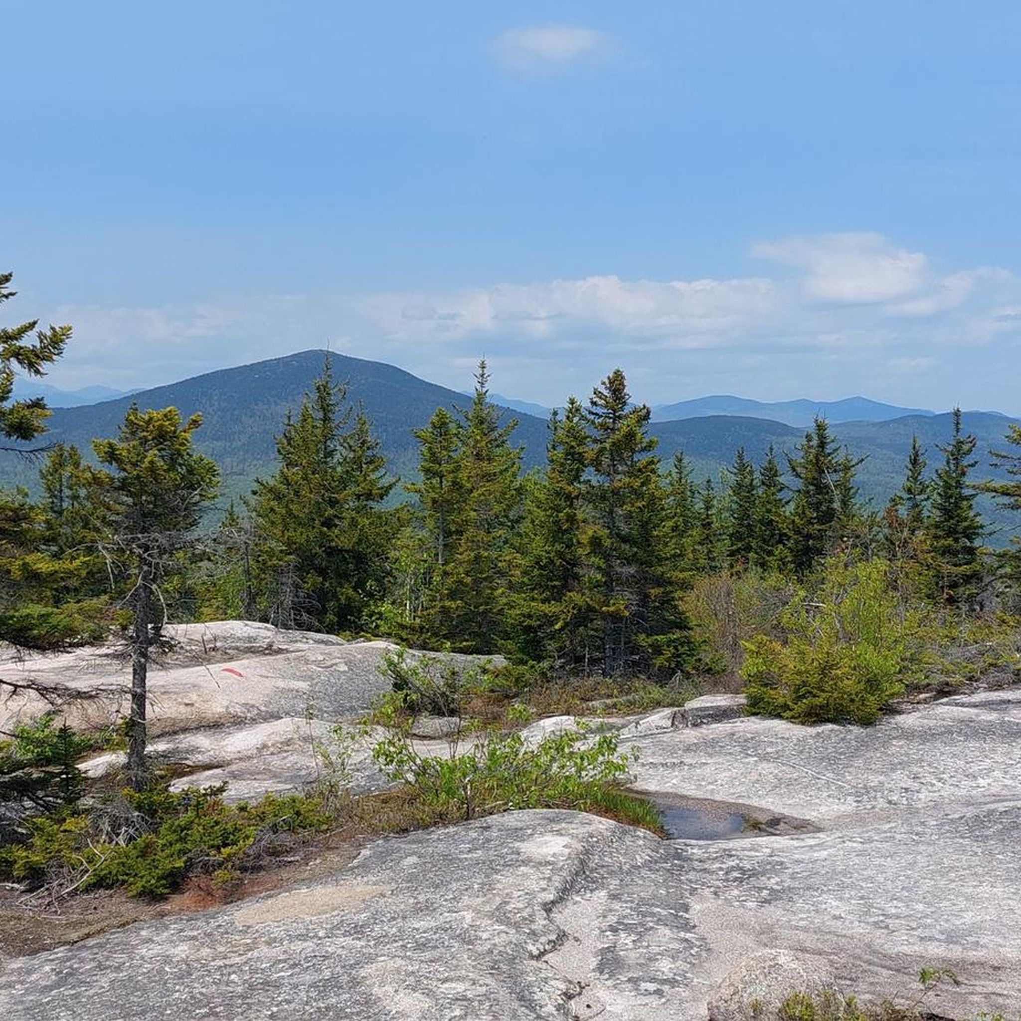
Road Cycling Routes around Fryeburg
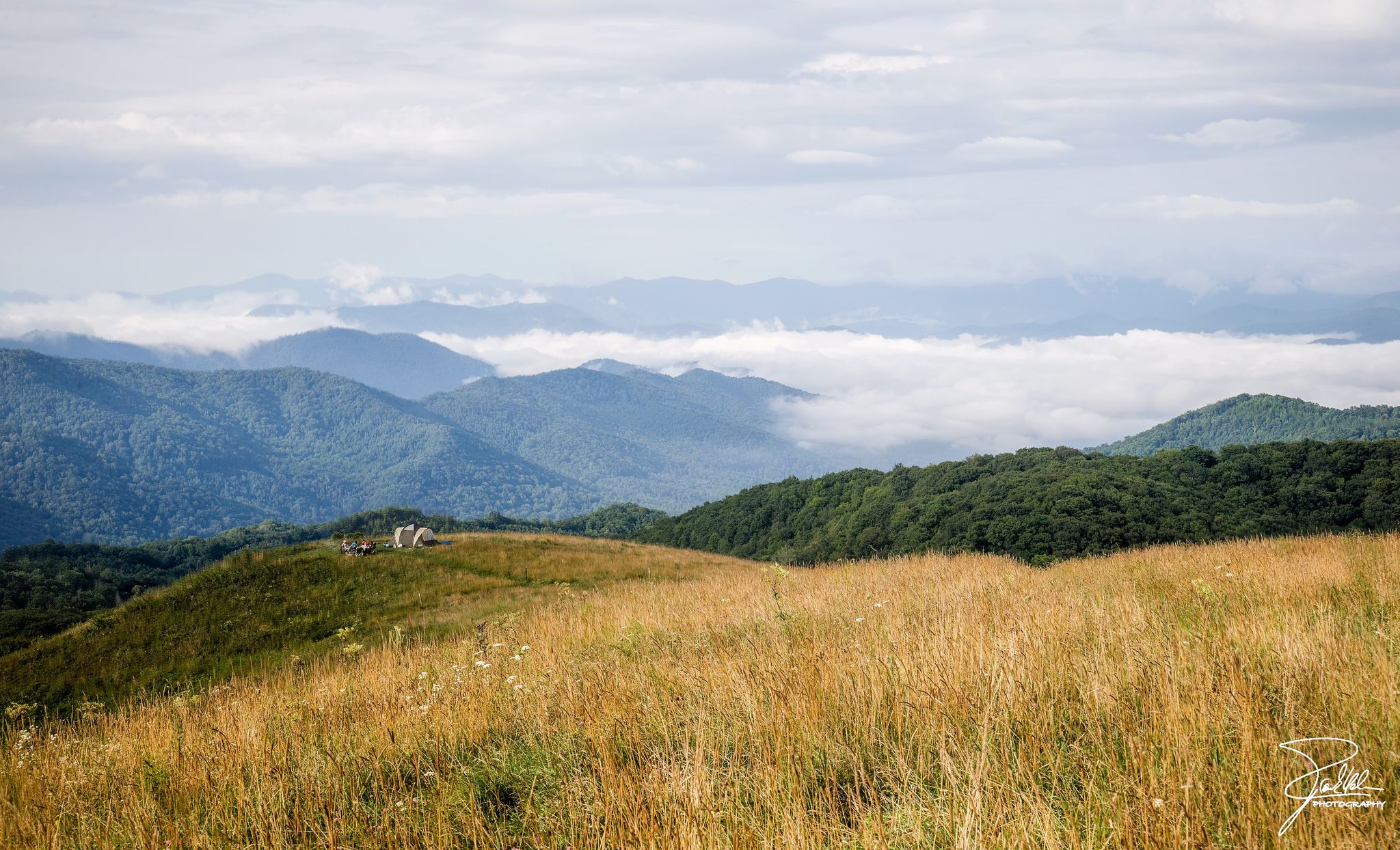
The Appalachian Trail — America's most iconic long-distance hike
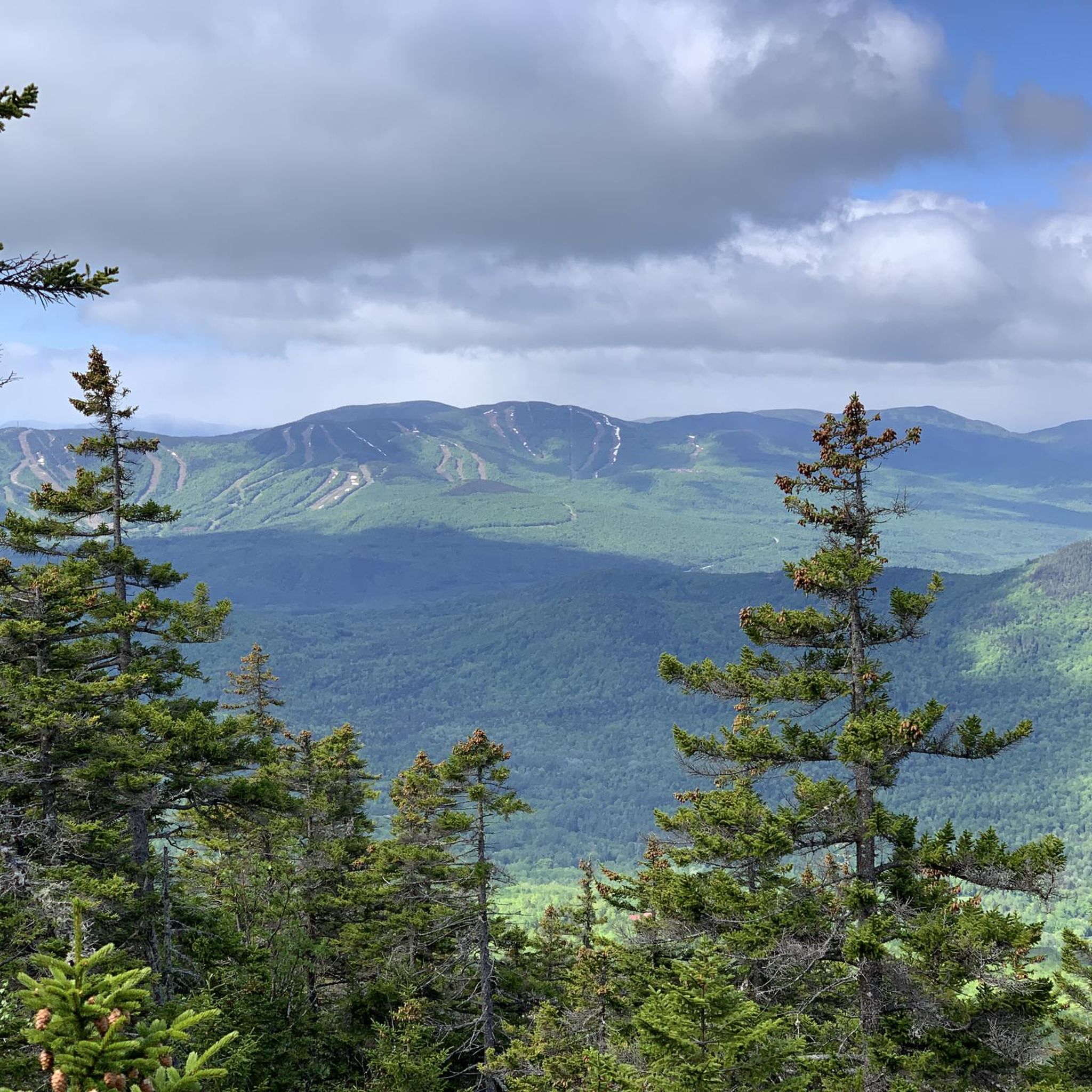
Hiking in Oxford County

Running Trails in Oxford County
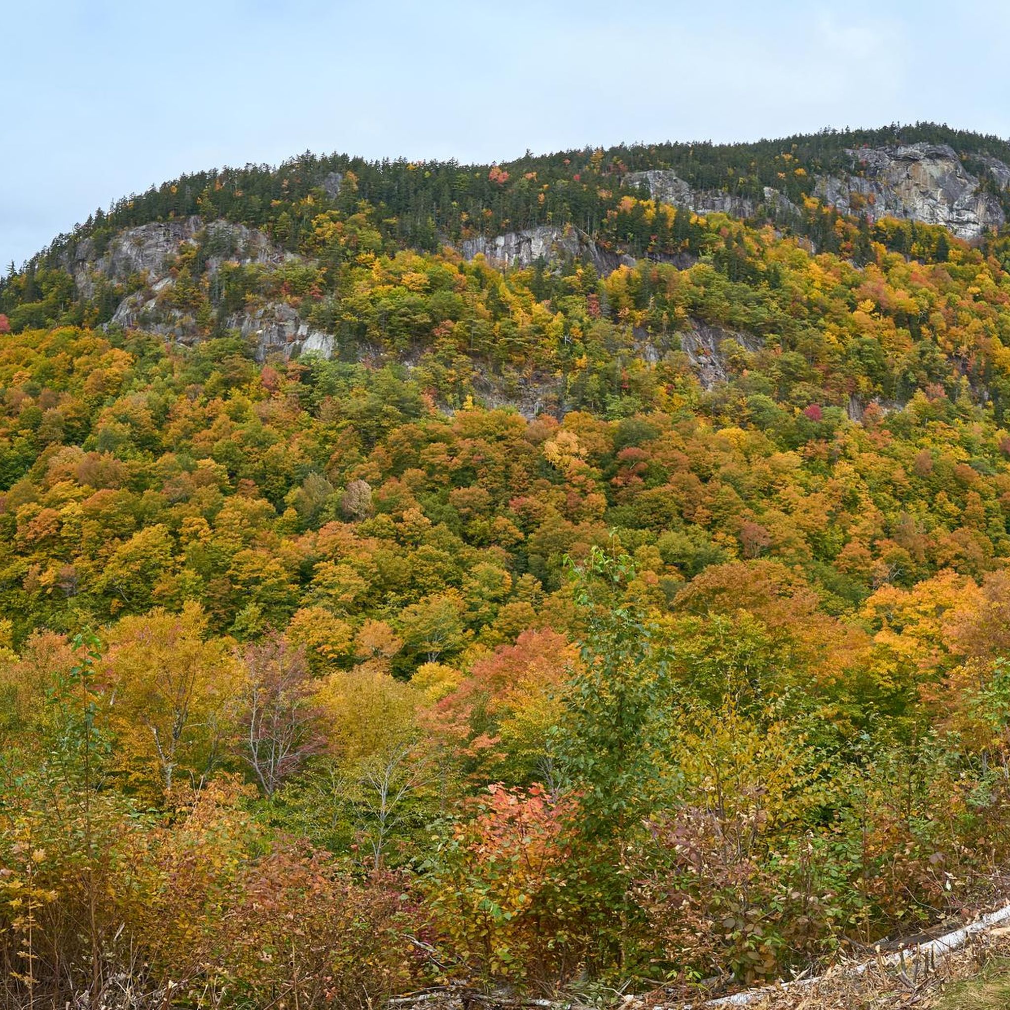
Cycling in Oxford County
MTB Trails in Oxford County
Other adventures in Oxford County

Tips from the Community

The Bethel Pathway is a short paved trail passing through the heart of Bethel. This particular section of the trail hugs the shore of the Androscoggin River and even crosses over the water via a bridge.
0
0

To get there you must access from Camping Timberland and walk a very picturesque path between native trees. When you reach the point you will have very nice views and if you do it in summer you can cool off in its crystal clear waters
0
0

Hicks Pond is a tranquil freshwater gem surrounded by lush forests.
0
0

Also known as Norway Lake, this beautiful lake surrounds the Witt Swamp Preserve. The lake is a great spot to go swimming, and also provides great wildlife viewing opportunities.
0
0
Grafton Notch State Park, nestled in western Maine, boasts stunning landscapes with rugged peaks, cascading waterfalls, and the iconic Appalachian Trail passing through. Outdoor enthusiasts revel in its hiking trails, like the challenging Table Rock and Old Speck Mountain routes.
0
0
North Pond is a small yet peaceful lake connected to Round Pond & South Pond.
0
0
Intervale Gateway Nature Reserve, located in Maine, offers a small yet serene escape with scenic trails and diverse ecosystems. This conservation area invites visitors to explore and connect with nature's beauty.
0
0
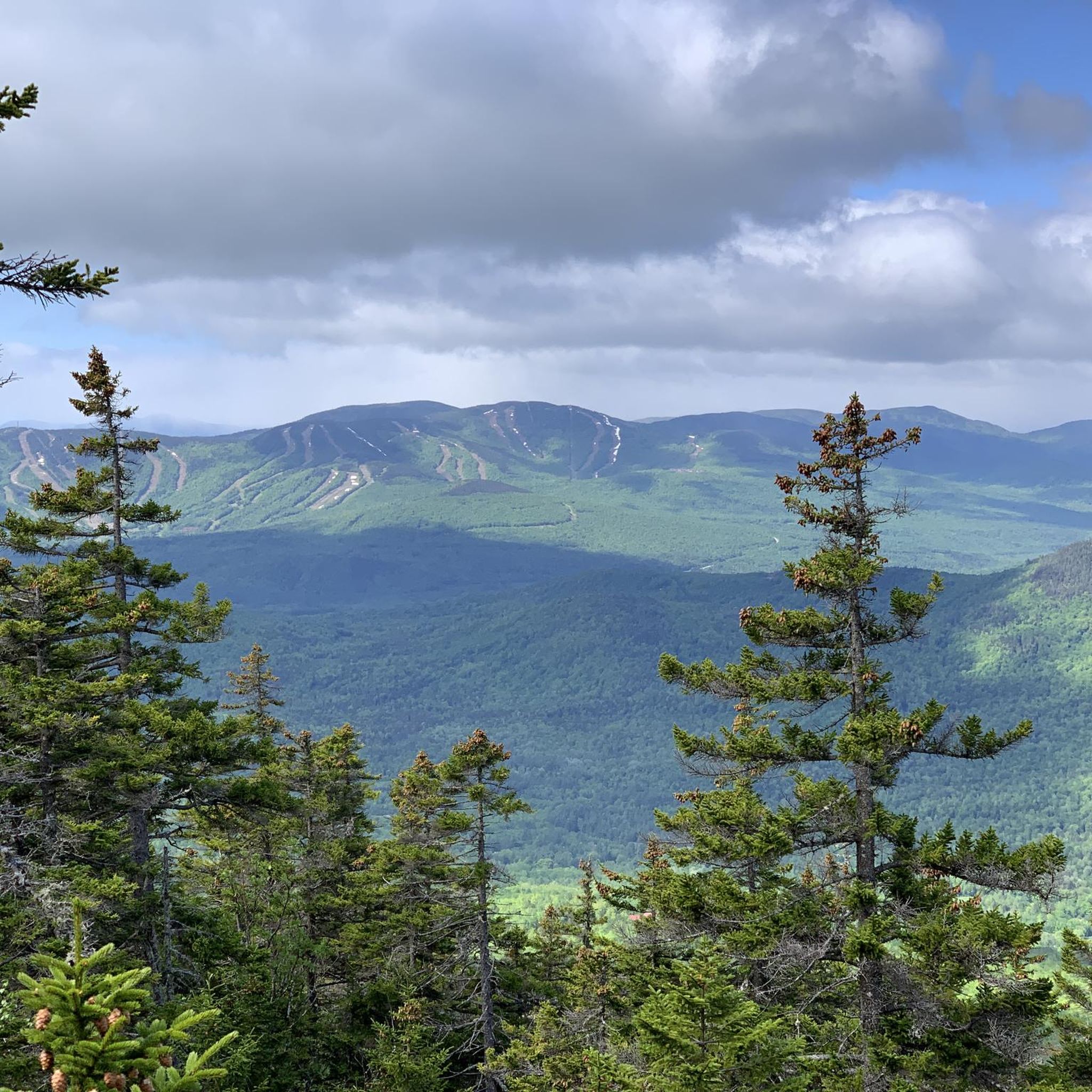
This overlook on Evans Notch is located along the paved highway that passes through this part of the mountains. The overlook has become a bit brushy over the years, but you can still see some of the cliffs and valleys making up the Speckled Mountain Watershed. The climb up both sides of this high point can get steep (and both are pretty long), but there are parks, trailheads, and day use areas along the way with views, restrooms, and parking areas.
0
0
Frequently Asked Questions
How many road cycling routes are available in Oxford County?
Oxford County offers a wide selection of road cycling routes, with over 45 routes available on komoot. These routes cater to various skill levels, from easy loops to more challenging ascents.
What kind of terrain can I expect on road cycling routes in Oxford County?
You'll find diverse terrain in Oxford County. Routes often feature gently rolling hills, river valleys, and forested areas. While many roads are flat and well-paved, some routes, particularly those near the White Mountain National Forest, include more significant elevation gains. The region is known for its quiet, low-traffic rural roads, offering a peaceful cycling experience.
Are there routes suitable for beginners or families?
Yes, Oxford County has routes suitable for beginners and families. For example, the Intervale Gateway Nature Reserve to North Pond loop — Oxford County is an easy 26-mile (41.9 km) trail that leads through natural reserves. Many routes feature flat, well-paved roads with low traffic, making them ideal for a relaxed ride. The 'Ride Oxford' program also provides suggestions for family-friendly itineraries.
Where can I find challenging road cycling routes in Oxford County?
For a more challenging ride, consider routes with significant elevation gain, such as the Evan's Notch from Bethel loop — White Mountain National Forest. This moderate 43-mile (69.2 km) path winds through the White Mountain National Forest and features substantial climbs. Other routes like the Andover to Grafton Notch State Park loop — Oxford County also offer considerable elevation changes.
Are there any circular road cycling routes in Oxford County?
Many of the road cycling routes in Oxford County are designed as loops, offering a convenient way to start and end your ride in the same location. Examples include the Androscoggin River loop from Bethel — Oxford County and the Pennesseewassee Lake to Hicks Pond loop — Oxford County.
What are some scenic highlights or attractions I can visit along the routes?
Oxford County offers numerous scenic highlights. You can enjoy sweeping vistas of agricultural farmlands, tree-lined roads, and views of the Thames River along trails like the Oxford Thames River Trail. Natural attractions include Evans Notch Overlook, and waterfalls like Step Falls Preserve and Screw Auger Falls. Charming towns like Ingersoll, Woodstock, and Tillsonburg also provide historic sites and local shops for mid-ride stops.
Can I combine cycling with local culinary experiences in Oxford County?
Absolutely! Oxford County is famous for its 'Oxford County Cheese Trail by Bike.' This unique culinary tourism route allows you to combine paved cycling with stops at local cheesemakers, restaurants, food producers, and artisans. You can enjoy both the beautiful scenery and the region's delicious local flavors.
What do other cyclists say about road cycling in Oxford County?
The road cycling routes in Oxford County are highly rated by the komoot community, with an average score of 5.0 stars. Cyclists often praise the diverse terrain, from river valleys to forested hills, and appreciate the options available for different ability levels. The quiet, well-paved rural roads are frequently highlighted as a key enjoyable aspect.
Are there specific programs or resources for cyclists in Oxford County?
Yes, Oxford County has a dedicated 'Ride Oxford' program that provides cycling itineraries, maps, and suggestions for bike-friendly stops. The county also has a 'Cycling Master Plan' aimed at creating an integrated and connected cycling network, demonstrating its commitment to supporting cyclists. You can find more information at Ride Oxford.
What are the best times of year to go road cycling in Oxford County?
The spring, summer, and fall months generally offer the best conditions for road cycling in Oxford County, with pleasant temperatures and vibrant scenery. The region's gently rolling terrain and lush forests are particularly picturesque during these seasons. Always check local weather conditions before heading out.
What towns are good starting points or places to stop during a ride?
Charming towns and villages like Ingersoll, Woodstock, and Tillsonburg are excellent starting points or places to take a break during your ride. They offer welcoming centers with historic sites, local shops, bakeries, and unique country stores, perfect for refueling or exploring. Many routes, such as the Bethel Pathway loop from Bethel, start and end in these communities.
What makes Oxford County unique for road cycling compared to other regions?
Oxford County stands out for its combination of flat, quiet, and well-paved rural roads, offering a relaxed and safe riding experience. Its diverse landscapes, including agricultural farmlands, river valleys, and sections of the Carolinian Life Zone, provide a picturesque backdrop. The unique Oxford County Cheese Trail by Bike also offers a distinct culinary and cycling adventure not commonly found elsewhere.
Most popular routes in Oxford County
Most popular attractions in Oxford County

Get inspired with the komoot mobile app


Didn’t find what you were looking for?
Check out more Road cycling routes throughout Oxford County below and find the perfect route in your destination.
Explore more
Browse the best Road cycling routes in other regions.
